Stanfords
United Kingdom
United Kingdom
- Massif des Ecrins - Oisans - Champsaur IGN 75006
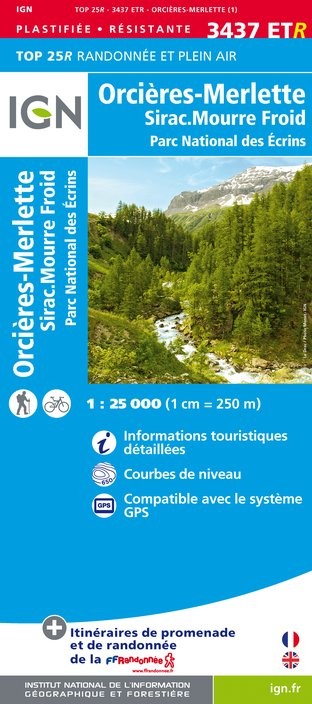
- Ecrins Massif - Oisans - Champsaur region in a series of GPS compatible, contoured TOP 75 maps at 1:75,000 from the IGN, highlighting local and long-distance hiking paths, cycling routes and sites for other recreational activities. The map includes five large panels showing the areas around le Taillfer, le Sirac, Pic du Tourond, le Gragas, and... Read more