Iran
Description

Being the second largest country in the Middle East, Iran spreads out from the Caspian Sea in the north to the Gulf of Oman and the Persian Gulf in the south. Roughly half of Iran is mountainous, with rugged high mountain ranges in the west and north, keeping any rain out of the large plateaus and deserts in its central and eastern parts. As a result, most of eastern and southern Iran has a rather arid climate, with temperatures soaring in summer. The mountains and valleys towards the north and west get lower average temperatures and more rain (and snow).
Iran's highest mountain is volcanic Mount Damavand (5610 m), also highest peak in the Middle East, and quite a popular climbing destination. It is part of the Alborz mountain range which runs from west to east across the north of Iran, between the Caspian Sea in the north and the nearby capital of Tehran to the south. On weekends, many Irani from Tehran enjoy day hikes in the nearby Alborz mountains, for example to the Tangeh Savashi mountain pass.
Largest of Iran in terms of area is the Zagros mountain range, running 1500 km along the full length of the country's western border with Iraq and onwards along the Persian Gulf to the Straits of Hormuz. The range branches out towards the east as the massif of Hazaran towards Kerman. Its peaks rise up well over 4000 m.
An area in the northwest of Iran deserving special mention is the subtropical coastal strip along the Caspian Sea and the northern slopes of the Alborz mountains, which are covered in dense humid mixed forests. Particularly the county of Talesh, on the southwestern shores of the Caspian Sea, has lovely subtropical lowlands, forests and mountainous area's for hiking.
When hiking in the mountains of Iran, be prepared to carry tent and food. There are some huts on the slopes of Mount Damavand, but even there camping is common. Best time to hike in the high mountains is from July till September. Lower down spring and autumn are good too.
Regions
Mountains
Links
Facts
Reports
Guides and maps
Lodging
Organisations
Tour operators
GPS
Other
Books
Netherlands
- Mirrors of the Unseen
- In our current climate of war and suspicion, Iran is depicted as the ''next'' rogue nation that America and the world must ''deal with.'' But the rhetoric about nuclear weapons and jihad obscures the real Iran: an ancient nation and culture, both sophisticated and isolated, which still exists clandestinely in major cities as well as the... Read more
- Also available from:
- Bol.com, Belgium
Belgium
- Mirrors of the Unseen
- In our current climate of war and suspicion, Iran is depicted as the ''next'' rogue nation that America and the world must ''deal with.'' But the rhetoric about nuclear weapons and jihad obscures the real Iran: an ancient nation and culture, both sophisticated and isolated, which still exists clandestinely in major cities as well as the... Read more
Netherlands
- Axis of Evil World Tour
- "Axis of Evil World Tour" goes beyond the superficial coverage found in much of the media to bring a boots-on-the-ground look at three of the most enigmatic, difficult-to-enter countries on the planet-Iran, Iraq, and North Korea. North Korea: Visit the tense yet quiet DMZ that divides North from South, one of the eeriest places on earth. Spend... Read more
- Also available from:
- Bol.com, Belgium
Belgium
- Axis of Evil World Tour
- "Axis of Evil World Tour" goes beyond the superficial coverage found in much of the media to bring a boots-on-the-ground look at three of the most enigmatic, difficult-to-enter countries on the planet-Iran, Iraq, and North Korea. North Korea: Visit the tense yet quiet DMZ that divides North from South, one of the eeriest places on earth. Spend... Read more
Netherlands
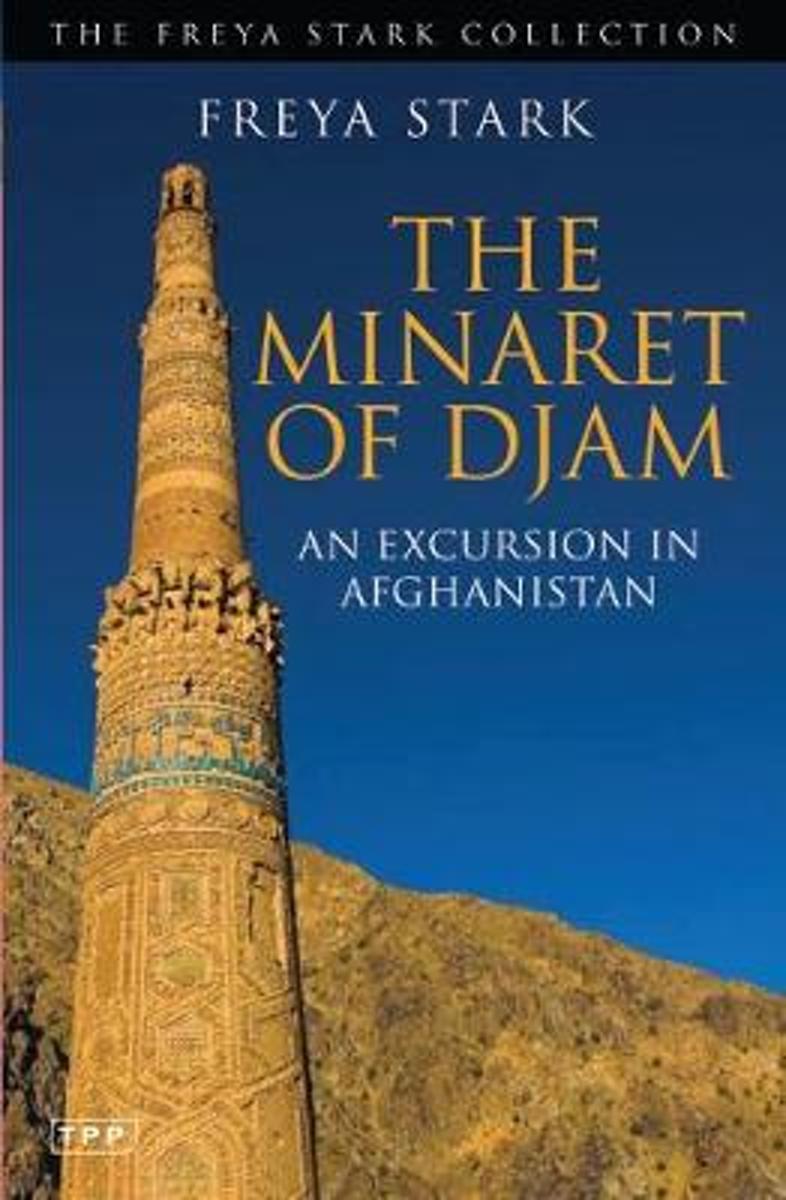
- The Minaret of Djam
- The 12th century minaret of Djam is one of Afghanistan's most celebrated treasures, a magnificent symbol of the powerful Ghorid Empire that once stretched from Iran to India. The second tallest brick minaret in the world, Djam lies in the heart of central Afghanistan's wild Ghor Province. Surrounded by 2,000 metre-high mountains and by the... Read more
- Also available from:
- Bol.com, Belgium
Belgium
- The Minaret of Djam
- The 12th century minaret of Djam is one of Afghanistan's most celebrated treasures, a magnificent symbol of the powerful Ghorid Empire that once stretched from Iran to India. The second tallest brick minaret in the world, Djam lies in the heart of central Afghanistan's wild Ghor Province. Surrounded by 2,000 metre-high mountains and by the... Read more
Netherlands
- Out Of Steppe
- Central Asia is the general name for the landmass between Iran, China, Siberia and Afghanistan. An area of enormous diversity both geographically and ethnically, it has been shaped by trade and commerce (the Silk Road) and by many invaders, including Alexander the Great, Genghis Khan and Stalin. Today the area is divided into five 'stans:... Read more
- Also available from:
- Bol.com, Belgium
Belgium
- Out Of Steppe
- Central Asia is the general name for the landmass between Iran, China, Siberia and Afghanistan. An area of enormous diversity both geographically and ethnically, it has been shaped by trade and commerce (the Silk Road) and by many invaders, including Alexander the Great, Genghis Khan and Stalin. Today the area is divided into five 'stans:... Read more
Netherlands
2017
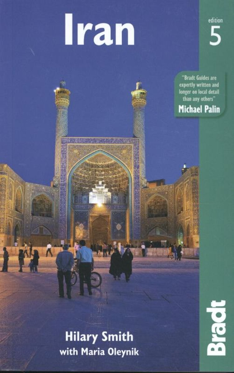
- Iran
- Now into its fifth edition, Bradt's Iran continues to provide the most detailed background, history and cultural information available when visiting this 'Jewel of Central Asia'. This new edition has been thoroughly reviewed to provide all the latest information, from updated history and cultural developments to security, language and hotel... Read more
- Also available from:
- Bol.com, Belgium
Belgium
2017
- Iran
- Now into its fifth edition, Bradt's Iran continues to provide the most detailed background, history and cultural information available when visiting this 'Jewel of Central Asia'. This new edition has been thoroughly reviewed to provide all the latest information, from updated history and cultural developments to security, language and hotel... Read more
Netherlands
- The History of Antiquity Vol VI
- Extrait CHAPTER VI. THE FALL OF THE LYDIAN EMPIRE. After the fall of Nineveh, Media, Babylonia, and Lydia had continued to exist side by side in peace and friendship. The successful rebellion of Cyrus altered at one blow the state of Asia. He had not been contented with winning independence for the Persians; he had subjected Media to his power.... Read more
- Also available from:
- Bol.com, Belgium
Belgium
- The History of Antiquity Vol VI
- Extrait CHAPTER VI. THE FALL OF THE LYDIAN EMPIRE. After the fall of Nineveh, Media, Babylonia, and Lydia had continued to exist side by side in peace and friendship. The successful rebellion of Cyrus altered at one blow the state of Asia. He had not been contented with winning independence for the Persians; he had subjected Media to his power.... Read more
Netherlands
2016
- Reisgids Culture Smart! Iran | Kuperard
- De Culture Smart!-gids geeft toeristen en zakenlieden belangrijke informatie met betrekking tot de cultuur van alledag in het land van bestemming. Anders dan in de gebruikelijke reisgidsen wordt de lezer in deze reeks bijgespijkerd op het gebied van omgangsvormen, normen en waarden, hoe zich te gedragen en wat verwacht mag worden op zakelijk en... Read more
Netherlands
2011
- Reisgids Kunstreiseführer Iran | Dumont
- Iran, etwa viereinhalb Mal so groß wie die Bundesrepublik Deutschland, ist seit der Antike ein Vielvölkerstaat mit zahlreichen Sprachen und unterschiedlichen Religionen, die in friedlicher Koexistenz nebeneinander bestehen. Dies und die zentrale Lage des Landes zwischen Kleinasien, Zentralasien, Indien und Arabien brachte eine Blüte der Kunst... Read more
Netherlands
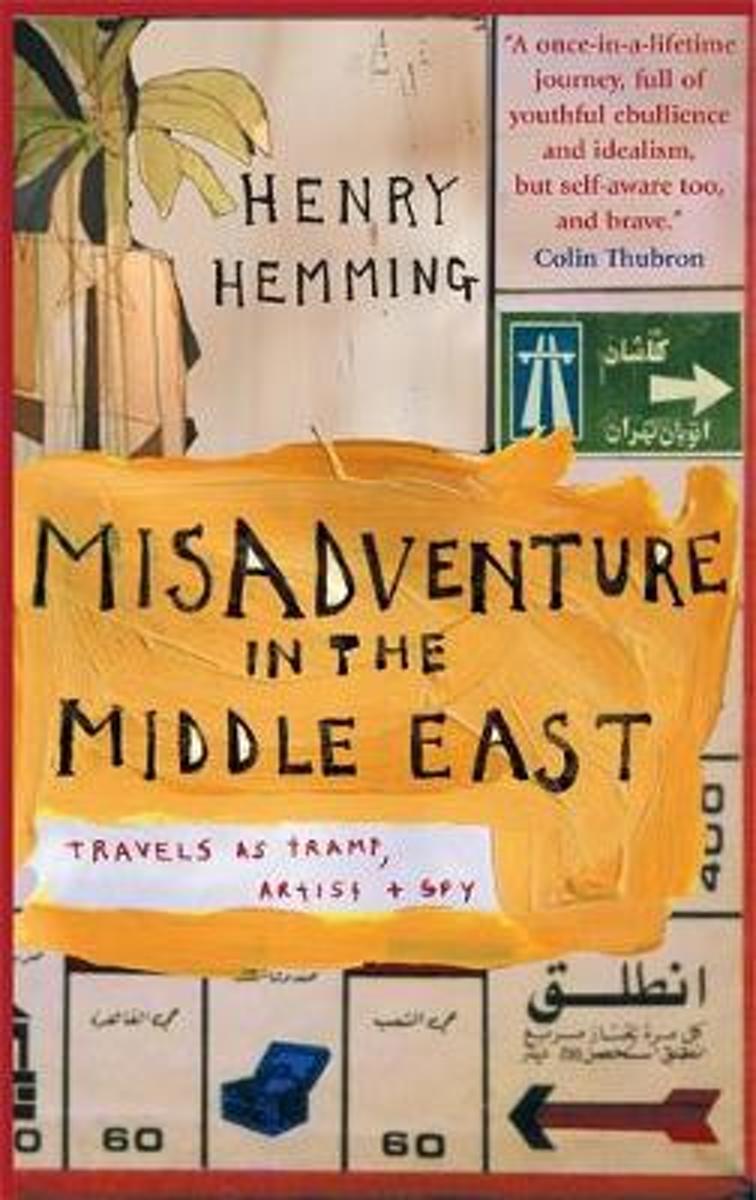
- Misadventure in the Middle East
- When Henry Hemming set out in a pick-up truck called Yasmine to make a portrait of the Middle East, he had no idea what he would find or where he would be able to go - he wasn't even sure how he would earn enough money to stay on the road for a year. Henry Hemming's extraordinary journey takes him from the drug-fuelled ski-slopes of Iran via... Read more
- Also available from:
- Bol.com, Belgium
Belgium
- Misadventure in the Middle East
- When Henry Hemming set out in a pick-up truck called Yasmine to make a portrait of the Middle East, he had no idea what he would find or where he would be able to go - he wasn't even sure how he would earn enough money to stay on the road for a year. Henry Hemming's extraordinary journey takes him from the drug-fuelled ski-slopes of Iran via... Read more
Netherlands
2019
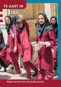
- Reisgids Te gast in Iran | Informatie Verre Reizen
- In TE GAST IN Iran geven een zevental auteurs een inkijkje in het Iran van vandaag. Wie zich de aangrijpende televisiebeelden van de recente demonstraties in Teheran herinnert, heeft kunnen zien dat een groot deel van de Iraanse bevolking meer dan genoeg heeft van het aartsconservatieve beleid van de ayatollahs. Veel Iraniërs wensen meer... Read more
Netherlands
2016
- Reisgids Iran | Odyssey
- De Odyssey reisgids voor Iran is een degelijke Engelstalige gids met achtergrondinformatie over cultuur en populatie, praktische informatie, hints voor de bezoeker, openbaar vervoer, accommodaties, foto’s en kaarten. Iran, or Persia as it was formerly known, has been of interest to outsiders for millennia. From the Greco-Persian wars of... Read more

Netherlands
- Peque/As Reflexiones de Un Charnego Polaco
- Sera Lluis Llach el nuevo director del Palau de la Musica? Canalizaran el Ebro para que desemboque en Vinaroz? Tiene algun sentido las naciones? O son mas importantes los equipos deportivos? Es la lengua la esencia de una patria? Un referendum deberia preguntar tambien acerca de la posibilidad de ser subditos del Banco de Santander? O ya lo... Read more
- Also available from:
- Bol.com, Belgium
Belgium
- Peque/As Reflexiones de Un Charnego Polaco
- Sera Lluis Llach el nuevo director del Palau de la Musica? Canalizaran el Ebro para que desemboque en Vinaroz? Tiene algun sentido las naciones? O son mas importantes los equipos deportivos? Es la lengua la esencia de una patria? Un referendum deberia preguntar tambien acerca de la posibilidad de ser subditos del Banco de Santander? O ya lo... Read more
Maps

United Kingdom
- Oman & The United Arab Emirates OUT OF PRINT
- Oman and the United Arab Emirates on a double-sided, indexed road map at 1:1,500,000 from Insight. This large map includes many places of interest and street plans of Dubai, Abu Dhabi, Doha, Muscat, Al Manama, Sur and Salalah.The network of main roads is displayed, with distinctions between main, secondary and minor roads. Markers indicate... Read more
Netherlands
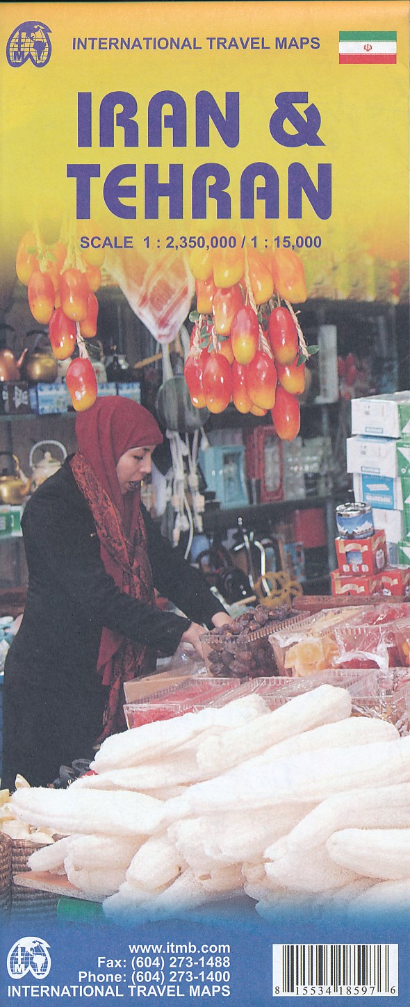
- Wegenkaart - landkaart Iran en Teheran | ITMB
- Carte routière en couleur utile pour les voyageurs. Textes en anglais uniquement. Read more
Netherlands
- Wegenkaart - landkaart Iran | Nelles Verlag
- Nelles Map Iran 1 : 1 750 000 ab 9.9 EURO 1:1. 750. 000 reiß- und wasserfest, waterproof and tear-resistant, indéchirable et imperméable, irromp Nelles Map. Edition 2017 Read more
Netherlands
- Wegenkaart - landkaart Naher-Osten, Midden Oosten | Freytag & Berndt
- Carte routière du Moyen-Orient Read more
Netherlands
- Wegenkaart - landkaart Central Asia - Centraal Azië: Turkmenistan, Oezbekistan, Tadzjikistan, Kirgistan, Noordoost Iran | Nelles Verlag
- Carte routière et touristique en couleur utile pour les voyageurs. Textes en anglais uniquement. Read more
Netherlands
- Wegenkaart - landkaart Iran | Freytag & Berndt
- Iran,Autokarte 1:1.500.000 ab 10.9 EURO Touristische Informationen, Citypläne, Ortsregister Freytag & Berndt Autokarte. Laufzeit bis 2013 Read more