
Nepal
Description

What is it about Nepal that makes it one of the very best hiking destinations? The reasons are numerous. Nepal is home to the world's highest mountains. Apart from Mount Everest it has seven other mountains over 8000 m high. Thanks to the excellent facilities, and the friendly Nepalese who speak excellent English, these giant mountains are brought amazingly close to the average hiker. Long distance walking in Nepal is simple and always rewarding. Landscapes are diverse and exotic, ranging from tropical rainforest to alpine extremes and everything in between: barren plateaus, rice terraces, spectacular rhodondendron forests in full bloom. Many treks pass through several different biotopes. Nepal's population is a colourful patchwork of a multitude of peoples, each with their own language, religion and customs. As a result you will come across fascinating towns and villages, meet interesting people and get the opportunity to make beautiful pictures.
Some areas are popular for hiking. Starting from the west towards the east these are:
- Humla and Mt. Kailas (Tibet) – restricted, pelgrimage to Tibetan holy mountain, partly in China
- Rara NP – Largest lake, paradise for birdwatchers
- Dolpo – Inner Dolpo restricted
- Annapurna – One of the most popular hiking areas on earth, but nowadays there is a road
- Mustang – restricted – Tibetan kingdom
- Manaslu Himal – restricted
- Lantang and Helambu – close to Kathmandu and very diverse
- Everest – Trek to Everest Base Camp
- Makalu – Trek to Makalu Base Camp
- Kangchenjunga – Giant (8586 m) on the border with Sikkim
One hiker, upon returning to Nepal after 10 years, lamented: such a petty that all those ingeniously fabricated rope bridges have been replaced by cold steel cables. Someone else went along to remark: too bad people don't dress traditionally anymore as they used to 20 years ago. Where upon another complained about something else which had disappeared since 30 years ago, etcetera. It is useless to mope about change; Nepal is not a museum, but a country where people dream of progress as they do in any other country. The Nepalese watch television, read newspapers, access internet and use mobile phones, and are no less well-informed on what's going on in the world around them than you and I are. Change may cause some areas to become less interesting for hiking, whereas by contrast other areas may gain in interest as a result of change and development.
The differences between various treks and hiking areas are vast. Some treks, for instance in Mustang, are only possible in a fully organised way, taking along the whole lot including porters, tents, guides, provisions, etc. Other treks, like hiking up to Everest Basecamp, can be done on your own in a relaxed way, walking from one teahouse to the next. In between are a range of hikes requiring more or less preparation.
Nepalese authorities require hikers to register before setting out. This registration is checked regularly while you are walking, in so-called checkpoints. If you are unable to produce a permit, you are not allowed to continue. It sounds like a hassle, but in reality it's all part of the fun. To make things even more complicated: several red-tape systems exist side by side:
- To enter a restricted area you need an old-fashioned trekking permit. These are expensive, linked to a maximum number of visitors, and only issued in combination with an organised group tour;
- For other trekking areas you will need to pay a modest entrance fee in return for a permit, which will be checked regularly along the way;
- On top of all this you should get yourself registered at the Trekking Information Management System (TIMS), in return for which you will receive a Certificate, which is also checked regularly along the way.
The first type of trekking permit must be applied for well in advance. The second type and the TIMS Certificate are often also available at checkpoints, although you will pay less if arranged in advance.

Climate in Nepal is defined in terms of wet and dry seasons. The wettest monsoon season is in June, July and August, when hikers are few. Mountain tops will be hidden behind clouds and paths are muddy and teeming with leeches. In the months before, from March until May, heat and humidity are slowly building up. Deep into the Himalaya, towards Tibet, this is a great time for hiking and what's more, the rhodondendron forests will be in full bloom in March and April. In the months after the monsoon, from September to November, the weather is most stable and clear, with views at their most magnificent. As a consequence this is when the country is invaded by tourists. From December onwards you will meet fewer hikers. The north face of the Himalaya suffer a winter monsoon characterised by low temperatures and snow, making it hard and uncertain to cross high mountain passes. The south and east of the Nepalese Himalaya are not affected by this. In short: except in the wet summer months, you can always go hiking somewhere in Nepal, and some even refuse to be held back by the wet monsoon.
Reaching the hiking area of your choice can be a challenge. Areas near the capital Kathmandu, like Lantang or Helambu, are easily reached by public bus. If you are heading further out, a journey by bus may take several days. There are flights to many of the more popular trekking regions. Plan at least two weeks for any serious long distance hike in Nepal. You need time to reach your final destination, and to hike back down again. In some cases you can hike in a circle (Annapurna), or take a return flight from your final destination. Time is needed to acclimatise at high altitude. You cannot cross a 4000 m high mountain pass on any Sunday afternoon, so allow for some time and spare days for the unforeseen. Two weeks is a minimum, but three or four is more realistic.
In general, facilities are excellent. In popular hiking regions you will find marvellous teahouses or lodges, not only in the villages but also in between. Staying overnight is cheap, but as a guest you are expected to take meals too. During peak season, in October, it can be difficult to find a place for the night, and you may have to settle for a second choice hotel. This is the general picture of course; in the remote west and east of Nepal, where hiking hasn't boomed yet, quantity and quality of lodges is less. In most restricted area's, when hiking with a group, setting up camp every night is the rule.
Can you hike alone in Nepal? Yes, definitely. Not in restricted areas, where you need to join a group tour. But particularly the popular hiking regions are quite safe, also for the individual hiker. Exceptions are the high mountain passes, but more about these later. Whether or not to hire a porter is mainly your personal choice. If you prefer someone to show you the way, to help you find a place for the night, and to carry the bulk of your luggage, do not hesitate to hire a porter/guide. No need to feel embarrassed, it is an ordinary profession, and many of these young guys will later have a career as guide or entrepreneur. Dozens, even hundreds of travel agencies are eager to organise your trek. Prepare yourself well by reading good quality travel guides.

Above we wrote Nepal is safe for the individual hiker. Of course, safety is a relative notion in any country in the world. But probably Nepal is safer than your home country. Are communist rebels dangerous? No, they never were, and now they have even joined government, adding the occasional fireworks to Nepalese politics. Can women safely travel alone? Yes, Nepalese treat all tourists, and women in particular, with respect. Many women hiking alone will hire a guide/porter anyway, for a safe feeling if not for convenience.
Concerning your health, to minimize risk:
- Do not ever drink water from taps or streams. Filter your water, or buy it at a so-called "Safe drinking water station". If you buy bottled water elsewhere in any obscure little shop, always check the date and if it is sealed properly.
- Eat vegetarian. Stick to the national dish: Dal Bhat (rice and lentils). Don't eat fresh salads. Don't eat ice cream.
- Altitude sickness can be prevented: do not climb too much per day (400 – 800 m), and once you reach higher altitudes, walk much slower than you normally would, drink a lot and breath consciously. Never push yourself to the limit, not even to keep up with your companions. Nausea and headaches do not mean immediate danger, but are a warning to take a rest. Drowsiness and a “drunken” gait mean danger: serious altitude sickness is exceptional, but acutely life-threatening.
- Bring your own medicine-kit.
- The cold at high altitude is life-threatening. Bring a down-filled jacket, a warm cap and gloves. Wear sturdy, high mountain boots.
- If you plan to cross a high pass, don't go alone. Leave as early as possible and walk slowly at a steady pace. Bad weather is dangerous: do not head out, but wait for weather to improve. Keep in mind: many passes rise up well over 5000 m. We're not talking about an ordinary hike!
Other practical issues: Maps of hiking regions are available in Kathmandu and other large towns. Though not always very detailed and precise, most are adequate for the popular hiking trails. These trails are never marked, but to lose your way is virtually impossible because you will walk from one village to the next. From the moment they can walk, every Nepalese can show you the way.
Map

Trails
- Annapurna CircuitGPX
- Annapurna Sanctuary
- Arun Trek
- Dolpo Treks
- Everest TrekGPX
- Ganja La Trek
- Gokyo Trek
- Great Himalaya TrailGPX
- Helambu Circuit
- Humla Trek
- Ice Col Trek
- Jomsom Trek
- Kanchenjunga Trek
- Langtang trekGPX
- Makalu BasecampGPX
- Manaslu CircuitGPX
- Mt Kailas
- Mustang Trek
- Naar and Phu
- Poon Hill
- Rara Lake Trek
- Shey Gompa Trek
- Solo Khumbu Trek
- Tilicho Lake Circuit
Regions
Mountains


Links
Facts
Reports
Guides and maps
Lodging
Organisations
Tour operators
GPS
Other
Books
Netherlands
2012
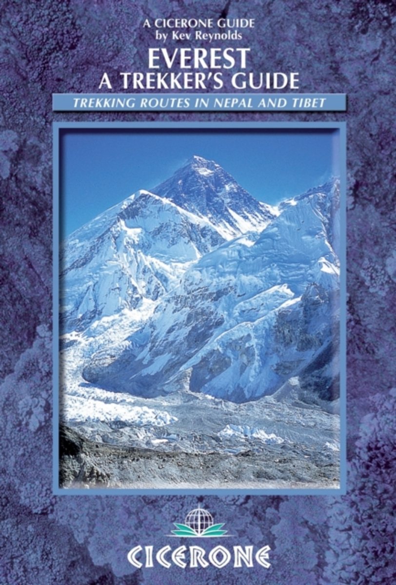
- Everest
- Nine treks in the Everest region are fully described step-by-step. They include all the classic treks from Lukla (and Jiri) to Namche, and routes to Thame, Gokyo, Thangboche, Lobuche, Kala Pattar and Everest Base Camp. Two routes in Tibet are covered from Tingri to the Rongbuk monastery and Kharta to the Kangshung Face. The treks vary from 1 to... Read more
- Also available from:
- Bol.com, Belgium
Belgium
2012
- Everest
- Nine treks in the Everest region are fully described step-by-step. They include all the classic treks from Lukla (and Jiri) to Namche, and routes to Thame, Gokyo, Thangboche, Lobuche, Kala Pattar and Everest Base Camp. Two routes in Tibet are covered from Tingri to the Rongbuk monastery and Kharta to the Kangshung Face. The treks vary from 1 to... Read more
Netherlands
- NEPAL (Rough Guide 4ed, 1999) --> see new edition [09/0
- The definitive handbook to Asia's most breathtaking destination, featuring in-depth accounts of all the sights, from Hindu temples and Buddhist stupas to wildlife reserves and spectacular mountain viewpoints. 4th ed. Read more
- Also available from:
- Bol.com, Belgium
Belgium
- NEPAL (Rough Guide 4ed, 1999) --> see new edition [09/0
- The definitive handbook to Asia's most breathtaking destination, featuring in-depth accounts of all the sights, from Hindu temples and Buddhist stupas to wildlife reserves and spectacular mountain viewpoints. 4th ed. Read more
Netherlands
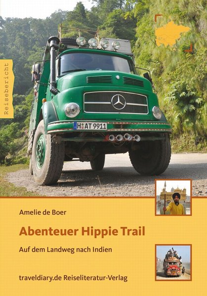
- Abenteuer Hippie Trail
- Sie geben in Deutschland alles auf, um sich ihren Traum zu erfüllen und zur Reise ihres Lebens aufzubrechen. Till und Amelie fahren mit ihrem 30 Jahre alten Mercedes Rundhauber, genannt „der Frosch", über den Landweg nach Indien und Nepal.Auf ihrer Fahrt tauchen sie immer weiter ab in fremde Kulturen. Nicht ohne Schwierigkeiten gelangen sie bis... Read more
- Also available from:
- Bol.com, Belgium
Belgium
- Abenteuer Hippie Trail
- Sie geben in Deutschland alles auf, um sich ihren Traum zu erfüllen und zur Reise ihres Lebens aufzubrechen. Till und Amelie fahren mit ihrem 30 Jahre alten Mercedes Rundhauber, genannt „der Frosch", über den Landweg nach Indien und Nepal.Auf ihrer Fahrt tauchen sie immer weiter ab in fremde Kulturen. Nicht ohne Schwierigkeiten gelangen sie bis... Read more

- Also available from:
- Bol.com, Netherlands
- Bol.com, Belgium
Netherlands
2015
- Abode of the Gods
- An inspirational book capturing the wonders of trekking in Nepal, in eight vivid stories from Kev Reynolds' journals exploring the Himalaya. Landscape, people, sounds and smells come to life as they are encountered for the first time in the Everest, Annapurna, Langtang, Kangchenjunga, Manaslu, Dolpo, Mugu and the far west of Nepal. Read more
Belgium
2015
- Abode of the Gods
- An inspirational book capturing the wonders of trekking in Nepal, in eight vivid stories from Kev Reynolds' journals exploring the Himalaya. Landscape, people, sounds and smells come to life as they are encountered for the first time in the Everest, Annapurna, Langtang, Kangchenjunga, Manaslu, Dolpo, Mugu and the far west of Nepal. Read more

Netherlands
- The Suitcase Wife
- This book was inspired by a true story.Sahara wanted to run away and explore exotic off-the-beaten paths of the world. Considering Europe too predictable, she booked a Himalayan trekking vacation in Nepal and returns changed, overflowing with memories, and with a relationship that would last for years.Her adventures turn out differently that... Read more
- Also available from:
- Bol.com, Belgium
Belgium
- The Suitcase Wife
- This book was inspired by a true story.Sahara wanted to run away and explore exotic off-the-beaten paths of the world. Considering Europe too predictable, she booked a Himalayan trekking vacation in Nepal and returns changed, overflowing with memories, and with a relationship that would last for years.Her adventures turn out differently that... Read more
Netherlands
- Nepal lonely planet
- This travel guide to Nepal provides information necessary to visitors on all budgets, including advice on getting there, accommodation, local cuisine, places to visit, language tips, and health and safety. This edition includes tips on eco-sensitive travel, and walking/trekking. Read more
- Also available from:
- Bol.com, Belgium
Belgium
- Nepal lonely planet
- This travel guide to Nepal provides information necessary to visitors on all budgets, including advice on getting there, accommodation, local cuisine, places to visit, language tips, and health and safety. This edition includes tips on eco-sensitive travel, and walking/trekking. Read more
Netherlands
2014
- Wandelgids A Trekking Guide to Ganesh Himal - Nepal | Himalayan Maphouse
- Ganesh Himal is sure to be the next sought-after destination along the Great Himalaya Trail trekking route. Although visible from the rooftops of Kathmandu, the Ganesh Himal massif is surprisingly remote. Named after the Hindu god of good fortune, the Ganesh - Ruby Valley - region is home to an enticing treasure trove of trails and mysterious... Read more
Netherlands
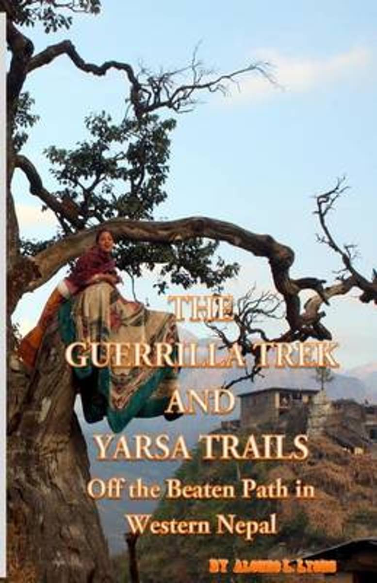
- The Guerrilla Trek and Yarsa Trails
- The Guerrilla Trek and Yarsa Trails are an utterly unique experience.Take an exhilarating odyssey through the heartland of post-conflict territory. This remote area where state forces clashed with Maoist rebels is now a tranquil land graced with many natural attractions that will compete for your attention every step of the way. Visitors will... Read more
- Also available from:
- Bol.com, Belgium
Belgium
- The Guerrilla Trek and Yarsa Trails
- The Guerrilla Trek and Yarsa Trails are an utterly unique experience.Take an exhilarating odyssey through the heartland of post-conflict territory. This remote area where state forces clashed with Maoist rebels is now a tranquil land graced with many natural attractions that will compete for your attention every step of the way. Visitors will... Read more
Netherlands
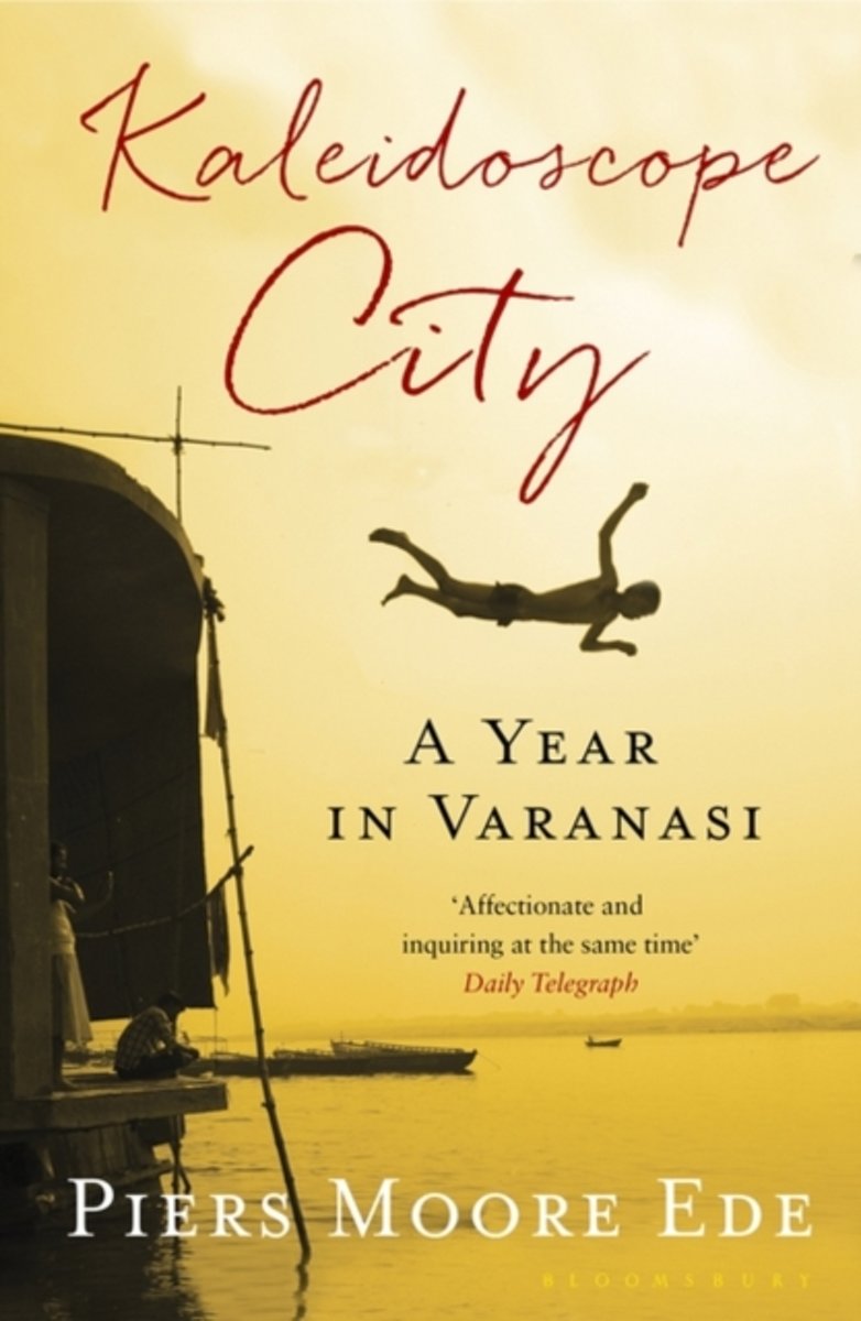
- Kaleidoscope City
- Piers Moore Ede first fell in love with Varanasi when he passed through it on his way to Nepal. In the decade that followed, it continued to exert its pull on him and so he returned there to live - to discover what it is that makes the spiritual capital of India so unique. In this intoxicating city, where funeral pyres smoulder beside the river... Read more
- Also available from:
- Bol.com, Belgium
Belgium
- Kaleidoscope City
- Piers Moore Ede first fell in love with Varanasi when he passed through it on his way to Nepal. In the decade that followed, it continued to exert its pull on him and so he returned there to live - to discover what it is that makes the spiritual capital of India so unique. In this intoxicating city, where funeral pyres smoulder beside the river... Read more
Netherlands
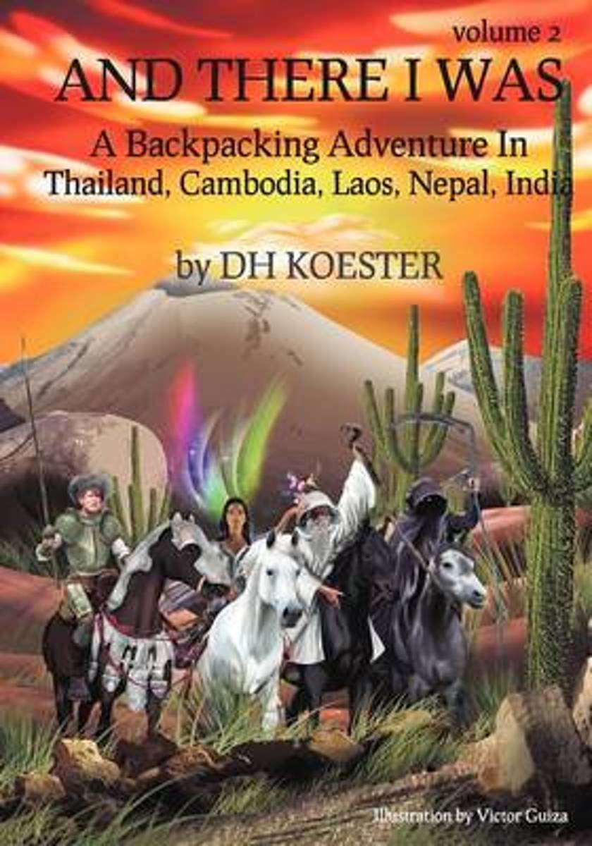
- And There I Was Volume II
- This is the second of nine journeys in the "And There I Was" series. In 1991, through a chance meeting in Bangkok with an old CIA station chief and his retired French army counterpart, expeditions were arranged into Cambodia and Laos, both still reeling fifteen years on from the devastating effects of war and genocide. The author's route took... Read more
- Also available from:
- Bol.com, Belgium
Belgium
- And There I Was Volume II
- This is the second of nine journeys in the "And There I Was" series. In 1991, through a chance meeting in Bangkok with an old CIA station chief and his retired French army counterpart, expeditions were arranged into Cambodia and Laos, both still reeling fifteen years on from the devastating effects of war and genocide. The author's route took... Read more

- Also available from:
- Bol.com, Netherlands
- Bol.com, Belgium
Netherlands
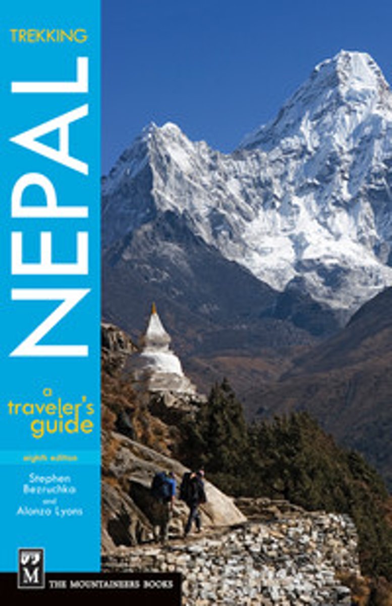
- Trekking Nepal
- ''Any Nepal travel guidebook will give you details, details, details. But read Stephen Bezruchka's Trekking Nepal, the best for background and thorough trekking advice.'' -- Christian Science Monitor, on the 7th edition* Co-written by veteran Nepal trekkers with more than 60 combined years of experience in the region* New 8th edition reflects... Read more
Belgium
- Trekking Nepal
- ''Any Nepal travel guidebook will give you details, details, details. But read Stephen Bezruchka's Trekking Nepal, the best for background and thorough trekking advice.'' -- Christian Science Monitor, on the 7th edition* Co-written by veteran Nepal trekkers with more than 60 combined years of experience in the region* New 8th edition reflects... Read more
Netherlands
2015
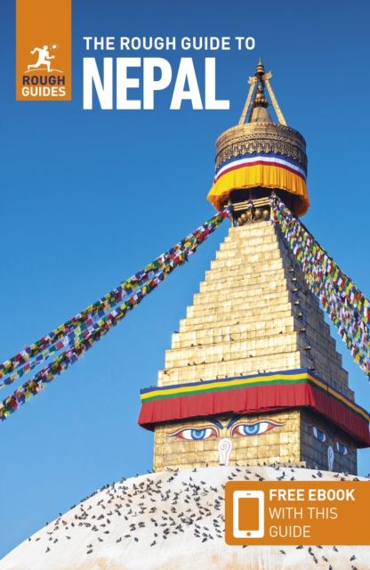
- Rough Guide - Nepal
- The Rough Guide to Nepal is the most passionate and knowledgeable guidebook to this inspiring country. It offers an insider's guide to Kathmandu, from its Tantric temples to its lively bar scene. It details all the finest Himalayan treks, with practical, up-to-date and expert advice on when and where to go, and what to take. It covers all the... Read more
- Also available from:
- Bol.com, Belgium
Belgium
2015
- Rough Guide - Nepal
- The Rough Guide to Nepal is the most passionate and knowledgeable guidebook to this inspiring country. It offers an insider's guide to Kathmandu, from its Tantric temples to its lively bar scene. It details all the finest Himalayan treks, with practical, up-to-date and expert advice on when and where to go, and what to take. It covers all the... Read more

Netherlands
- A Balcony in Nepal
- After trekking in Nepal, Sally Wendkos Olds and Margaret Roche both fell in love with this mountainous Himalayan country and her people. They returned four times between 1993 and 1998 and spent time in Bedel, a remote hill village without electricity, telephone or roads. They helped establish a library there, and on each visit Olds, a writer,... Read more
- Also available from:
- Bol.com, Belgium
Belgium
- A Balcony in Nepal
- After trekking in Nepal, Sally Wendkos Olds and Margaret Roche both fell in love with this mountainous Himalayan country and her people. They returned four times between 1993 and 1998 and spent time in Bedel, a remote hill village without electricity, telephone or roads. They helped establish a library there, and on each visit Olds, a writer,... Read more
Maps

United Kingdom
- Paldor Peak
- Trekking routes to the Paldor Peak in central Nepal on a detailed, contoured map at 1:50,000 from Nepa Maps, with an enlargement showing the area between the mountain’s south and north Base Camps in greater detail. Coverage extends from Trisuli Bazar in the south-west corner northwards beyond the peak of Paldor to its North Base Camp, and... Read more

United Kingdom
- Lamsun
- Lamsun, sheet no. 2883-06, in the topographic survey of Nepal at 1:50,000 published by the Nepali Government in the late 1990s and early 2000s and produced from remote sensing data by Finnish cartographers as part of that country’s international aid program. The maps cover 15’ x 15’ quadrangles.IMPORTANT – PLEASE NOTE BEFORE ORDERING:... Read more
United Kingdom
- Salpa Bhanjyang - Baksila
- Salpa Bhanjyang - Baksila, sheet no. 2786-12, in the topographic survey of Nepal at 1:50,000 published by the Nepali Government in the late 1990s and early 2000s and produced from remote sensing data by Finnish cartographers as part of that country’s international aid program. The maps cover 15’ x 15’ quadrangles.IMPORTANT – PLEASE NOTE BEFORE... Read more
United Kingdom
- Sarmi
- Sarmi, sheet no. 2982-14, in the topographic survey of Nepal at 1:50,000 published by the Nepali Government in the late 1990s and early 2000s and produced from remote sensing data by Finnish cartographers as part of that country’s international aid program. The maps cover 15’ x 15’ quadrangles.IMPORTANT – PLEASE NOTE BEFORE ORDERING:... Read more
United Kingdom
- Lower Dudh Kosi - Okhaldhunga
- Lower Dudh Kosi - Okhaldhunga, sheet no. 2786-11, in the topographic survey of Nepal at 1:50,000 published by the Nepali Government in the late 1990s and early 2000s and produced from remote sensing data by Finnish cartographers as part of that country’s international aid program. The maps cover 15’ x 15’ quadrangles.IMPORTANT – PLEASE NOTE... Read more
United Kingdom
- Nanikot
- Nanikot, sheet no. 2981-11, in the topographic survey of Nepal at 1:50,000 published by the Nepali Government in the late 1990s and early 2000s and produced from remote sensing data by Finnish cartographers as part of that country’s international aid program. The maps cover 15’ x 15’ quadrangles.IMPORTANT – PLEASE NOTE BEFORE ORDERING:... Read more
United Kingdom
- Topkegola
- Topkegola, sheet no. 2787-07, in the topographic survey of Nepal at 1:50,000 published by the Nepali Government in the late 1990s and early 2000s and produced from remote sensing data by Finnish cartographers as part of that country’s international aid program. The maps cover 15’ x 15’ quadrangles.IMPORTANT – PLEASE NOTE BEFORE ORDERING:... Read more
United Kingdom
- Phoksundo Tal
- Phoksundo Tal, sheet no. 2982-16, in the topographic survey of Nepal at 1:50,000 published by the Nepali Government in the late 1990s and early 2000s and produced from remote sensing data by Finnish cartographers as part of that country’s international aid program. The maps cover 15’ x 15’ quadrangles.IMPORTANT – PLEASE NOTE BEFORE ORDERING:... Read more
United Kingdom
- Simi
- Simi, sheet no. 2884-11, in the topographic survey of Nepal at 1:50,000 published by the Nepali Government in the late 1990s and early 2000s and produced from remote sensing data by Finnish cartographers as part of that country’s international aid program. The maps cover 15’ x 15’ quadrangles.IMPORTANT – PLEASE NOTE BEFORE ORDERING:... Read more
United Kingdom
- Tilicho
- Tilicho, sheet no. 2883-08, in the topographic survey of Nepal at 1:50,000 published by the Nepali Government in the late 1990s and early 2000s and produced from remote sensing data by Finnish cartographers as part of that country’s international aid program. The maps cover 15’ x 15’ quadrangles.IMPORTANT – PLEASE NOTE BEFORE ORDERING:... Read more

United Kingdom
- Pokhara Valley
- Pokhara Valley at 1:50,000 in the Nepa Maps series which provides extensive coverage of trekking areas of Nepal on detailed contoured maps with trekking routes and hiking trails, huts and camp sites, local places of interest and other tourist information.The map shows Pokhara Valley with contours at 20m intervals and relief shading and... Read more
United Kingdom
- Dho
- Dho, sheet no. 2983-13, in the topographic survey of Nepal at 1:50,000 published by the Nepali Government in the late 1990s and early 2000s and produced from remote sensing data by Finnish cartographers as part of that country’s international aid program. The maps cover 15’ x 15’ quadrangles.IMPORTANT – PLEASE NOTE BEFORE ORDERING:... Read more
United Kingdom
- Hongu Khola - Chheskam
- Hongu Khola - Chheskam, sheet no. 2786-08, in the topographic survey of Nepal at 1:50,000 published by the Nepali Government in the late 1990s and early 2000s and produced from remote sensing data by Finnish cartographers as part of that country’s international aid program. The maps cover 15’ x 15’ quadrangles.IMPORTANT – PLEASE NOTE BEFORE... Read more
United Kingdom
- Gamgadhi
- Gamgadji, sheet no. 2982-05, in the topographic survey of Nepal at 1:50,000 published by the Nepali Government in the late 1990s and early 2000s and produced from remote sensing data by Finnish cartographers as part of that country’s international aid program. The maps cover 15’ x 15’ quadrangles.IMPORTANT – PLEASE NOTE BEFORE ORDERING:... Read more
United Kingdom
- Yanma
- Yamna, sheet no. 2787-04, in the topographic survey of Nepal at 1:50,000 published by the Nepali Government in the late 1990s and early 2000s and produced from remote sensing data by Finnish cartographers as part of that country’s international aid program. The maps cover 15’ x 15’ quadrangles.IMPORTANT – PLEASE NOTE BEFORE ORDERING:... Read more