
Manaslu
Description
Map

Trails in this region
Links
Facts
Reports
Guides and maps
Lodging
Organisations
Tour operators
GPS
Other
Books

The Book Depository
United Kingdom
2018
United Kingdom
2018
- Fastpacking
- Multi-day running adventures: tips, stories and route ideas Read more

Bol.com
Netherlands
Netherlands
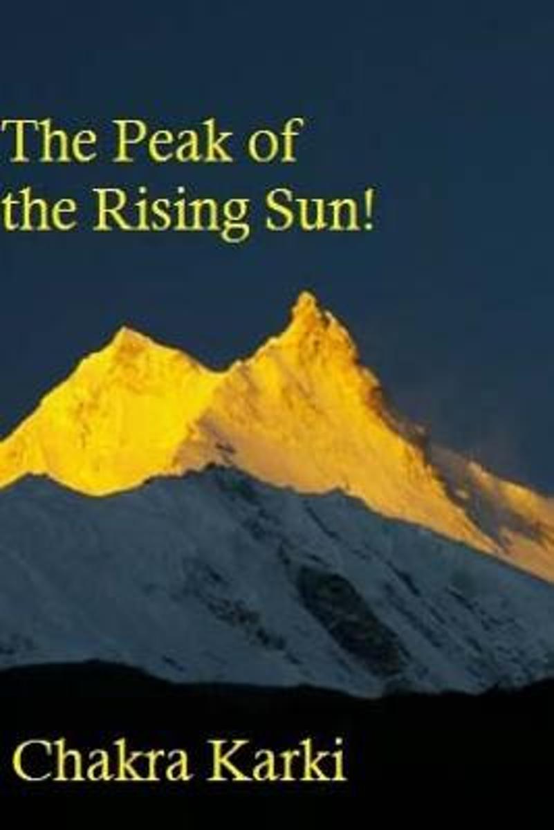
- The Peak of the Rising Sun!
- Manaslu - 8th highest mountain in the world and 4th most difficult & dangerous 8000m peak. Read more
- Also available from:
- Bol.com, Belgium
Bol.com
Belgium
Belgium
- The Peak of the Rising Sun!
- Manaslu - 8th highest mountain in the world and 4th most difficult & dangerous 8000m peak. Read more
Bol.com
Netherlands
2015
Netherlands
2015
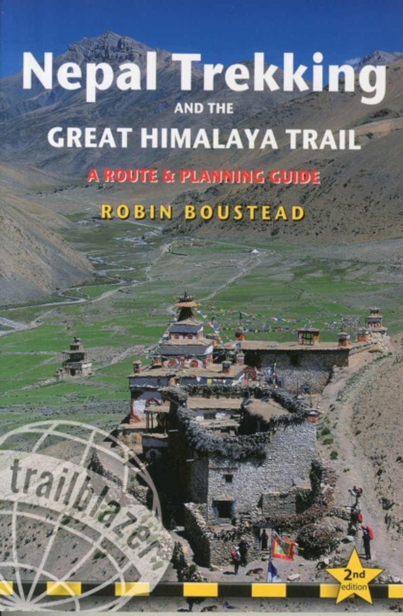
- Nepal Trekking & the Great Himalaya Trail
- With extensive sections to help choose a trekking region, this is a route and planning guide for anyone organising a trekking holiday in Nepal. It includes the most popular routes as well as the newest trekking areas plus the most extreme route of all, the 160-day Great Himalaya Trail. There are route guides to the following regions:... Read more
- Also available from:
- Bol.com, Belgium
Bol.com
Belgium
2015
Belgium
2015
- Nepal Trekking & the Great Himalaya Trail
- With extensive sections to help choose a trekking region, this is a route and planning guide for anyone organising a trekking holiday in Nepal. It includes the most popular routes as well as the newest trekking areas plus the most extreme route of all, the 160-day Great Himalaya Trail. There are route guides to the following regions:... Read more

- Also available from:
- Bol.com, Netherlands
- Bol.com, Belgium
Bol.com
Netherlands
2015
Netherlands
2015
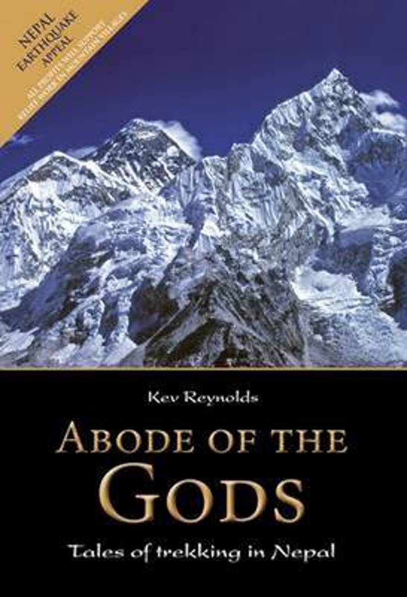
- Abode of the Gods
- An inspirational book capturing the wonders of trekking in Nepal, in eight vivid stories from Kev Reynolds' journals exploring the Himalaya. Landscape, people, sounds and smells come to life as they are encountered for the first time in the Everest, Annapurna, Langtang, Kangchenjunga, Manaslu, Dolpo, Mugu and the far west of Nepal. Read more
Bol.com
Belgium
2015
Belgium
2015
- Abode of the Gods
- An inspirational book capturing the wonders of trekking in Nepal, in eight vivid stories from Kev Reynolds' journals exploring the Himalaya. Landscape, people, sounds and smells come to life as they are encountered for the first time in the Everest, Annapurna, Langtang, Kangchenjunga, Manaslu, Dolpo, Mugu and the far west of Nepal. Read more
Bol.com
Netherlands
Netherlands
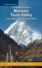
- A Trekking Guide to Manaslu and Tsum Valley
- This is the second edition of this popular trekking guidebook, updated after the disastrous earthquakes of April and May 2015. It remains the definitive introduction to trekking around Manaslu and the Tsum Valley. Additional information covers Lower Manaslu. A brief outline of routes across the adjacent Ganesh Himal / Ruby Valley to the east,... Read more
- Also available from:
- Bol.com, Belgium
Bol.com
Belgium
Belgium
- A Trekking Guide to Manaslu and Tsum Valley
- This is the second edition of this popular trekking guidebook, updated after the disastrous earthquakes of April and May 2015. It remains the definitive introduction to trekking around Manaslu and the Tsum Valley. Additional information covers Lower Manaslu. A brief outline of routes across the adjacent Ganesh Himal / Ruby Valley to the east,... Read more
Bol.com
Netherlands
Netherlands
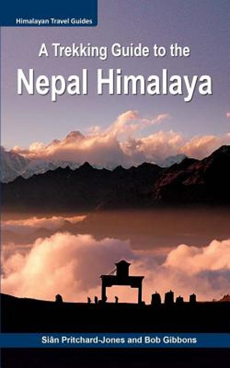
- A Trekking Guide to the Nepal Himalaya
- For centuries the inspirational spires of the Himalaya have been a magical draw for mystics, sages, hermits and pilgrims. Today the fascination with these highest mountains continues for trekkers, climbers, naturalists, explorers and the curious, all seeking a new experience. Secretive and serene, the Nepal Himalaya are a fairytale wonderland... Read more
- Also available from:
- Bol.com, Belgium
Bol.com
Belgium
Belgium
- A Trekking Guide to the Nepal Himalaya
- For centuries the inspirational spires of the Himalaya have been a magical draw for mystics, sages, hermits and pilgrims. Today the fascination with these highest mountains continues for trekkers, climbers, naturalists, explorers and the curious, all seeking a new experience. Secretive and serene, the Nepal Himalaya are a fairytale wonderland... Read more

The Book Depository
United Kingdom
2013
United Kingdom
2013
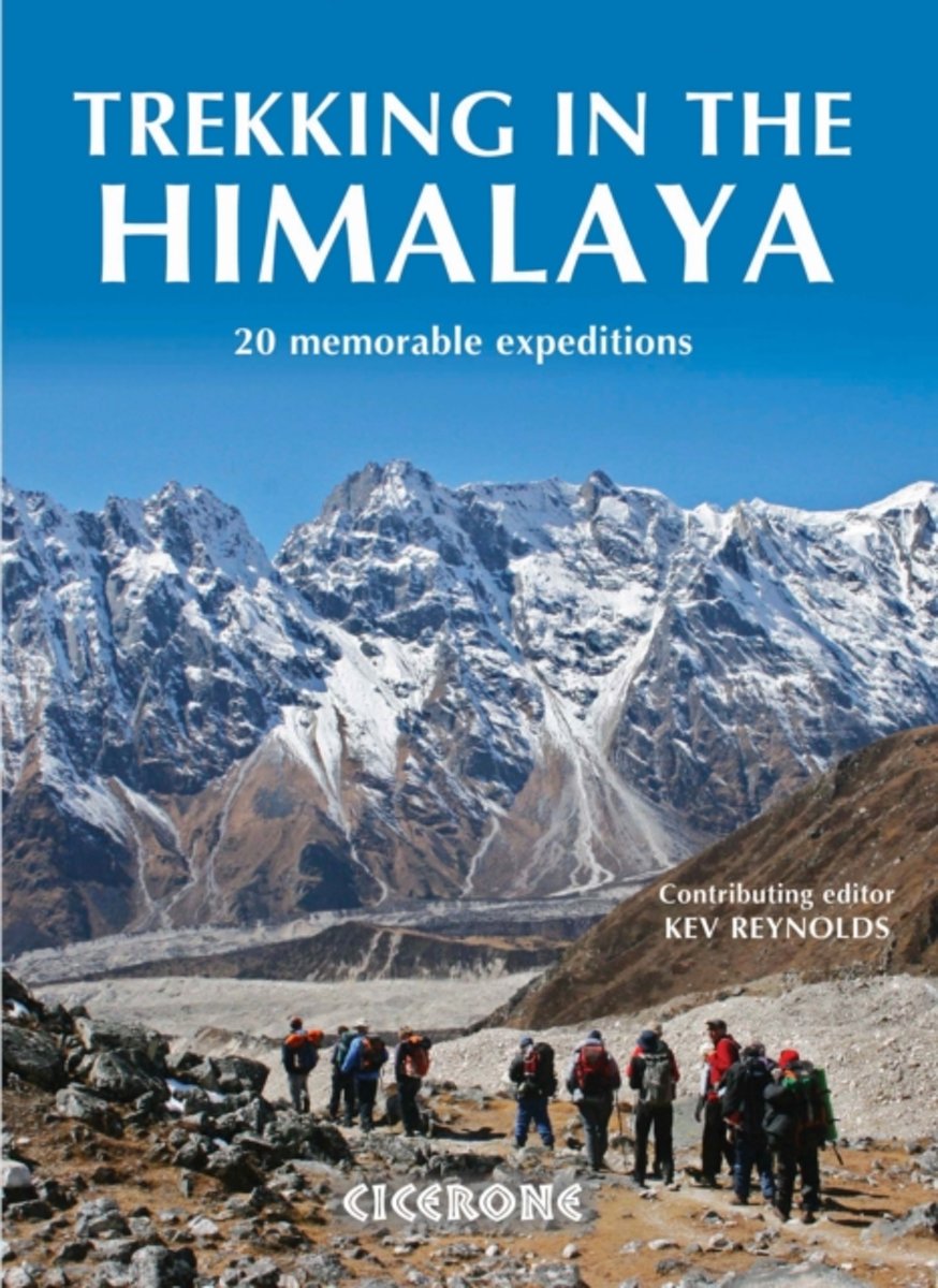
- Trekking in the Himalaya
- An inspirational guidebook to 20 treks along the 2400km Himalayan chain. Includes classics such as the treks to Everest and K2 base camps and the Annapurna Circuit. Also epic glacier treks, ultra-long expedition treks and sacred treks. This is a book to inspire and excite, guaranteed to entice any with an adventurous spirit and love of wild places. Read more
- Also available from:
- Bol.com, Netherlands
- Bol.com, Belgium
- De Zwerver, Netherlands
Bol.com
Netherlands
2013
Netherlands
2013
- Trekking in the Himalaya
- An inspirational larger format book describing 20 memorable treks in the Himalaya. They include such well-known classics as the treks to Everest, K2 and Kangchenjunga base camps, and the Annapurna and Manaslu Circuits. The ultra-long Lunana Snowman Trek and a kora around sacred Mount Kailash in Tibet are also included. There are epic glacier... Read more
Bol.com
Belgium
2013
Belgium
2013
- Trekking in the Himalaya
- An inspirational larger format book describing 20 memorable treks in the Himalaya. They include such well-known classics as the treks to Everest, K2 and Kangchenjunga base camps, and the Annapurna and Manaslu Circuits. The ultra-long Lunana Snowman Trek and a kora around sacred Mount Kailash in Tibet are also included. There are epic glacier... Read more

De Zwerver
Netherlands
2013
Netherlands
2013
- Wandelgids Trekking in the Himalaya | Cicerone
- An inspirational guidebook to 20 treks along the 2400km Himalayan chain. Includes classics such as the treks to Everest and K2 base camps and the Annapurna Circuit. Also epic glacier treks, ultra-long expedition treks and sacred treks. This is a book to inspire and excite, guaranteed to entice any with an adventurous spirit and love of wild places. Read more
Bol.com
Netherlands
2013
Netherlands
2013
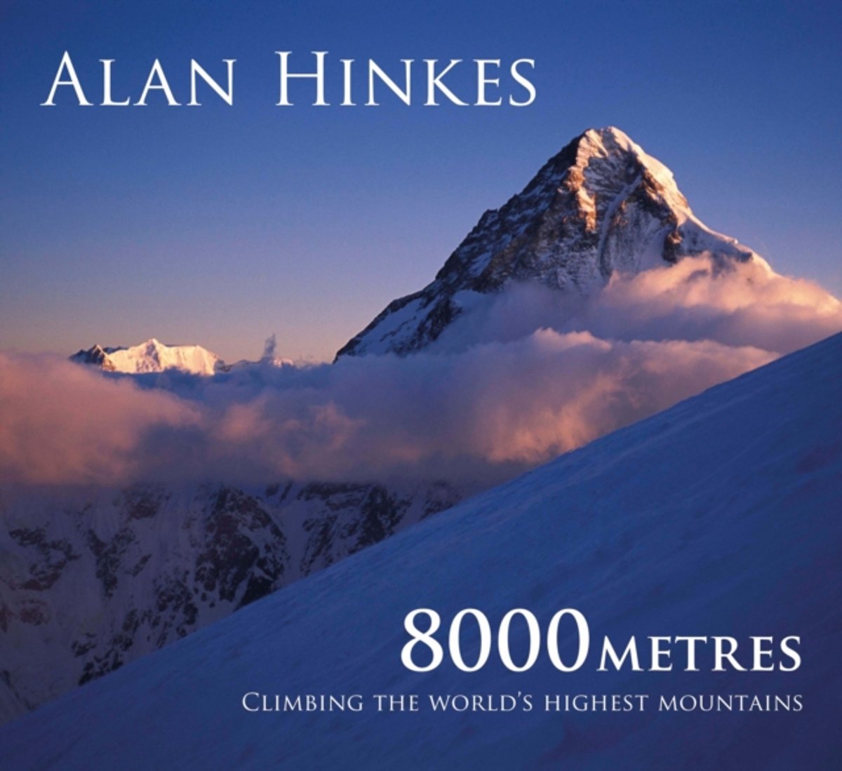
- 8000 metres
- In this book, renowned mountaineer Alan Hinkes relates his experiences of climbing the highest mountains known to man; the success and failures, the expeditions and partners; the beauty, harshness and danger of Earth's loftiest environs. The first British climber to reach all 14 of the world's peaks over 8000m, and the 15th person ever to do... Read more
- Also available from:
- Bol.com, Belgium
Bol.com
Belgium
2013
Belgium
2013
- 8000 metres
- In this book, renowned mountaineer Alan Hinkes relates his experiences of climbing the highest mountains known to man; the success and failures, the expeditions and partners; the beauty, harshness and danger of Earth's loftiest environs. The first British climber to reach all 14 of the world's peaks over 8000m, and the 15th person ever to do... Read more
Bol.com
Netherlands
Netherlands
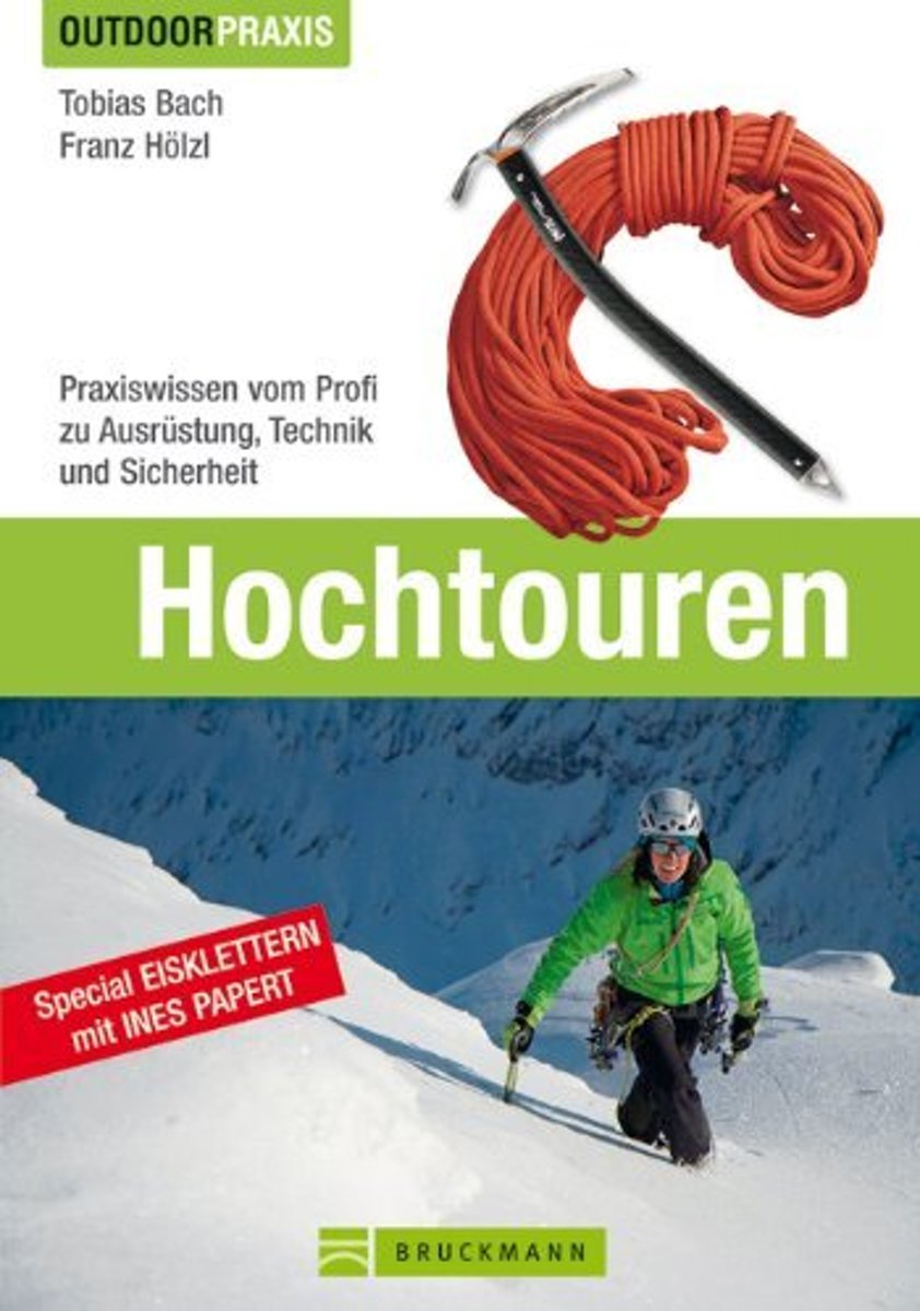
- Outdoor Praxis: Hochtouren
- Touren im Hochgebirge stellen besondere Anforderungen an Ausr stung, Kondition und Technik. Erfahren Sie von den staatlich gepr ften Berg- und Skif hrern Franz H lzl und Tobias Bach wie man sich sicher in Fels und Eis, sowie mit Seil und Steigeisen bewegt. Mit Expertentipps von der H henbergsteigerin Billi Bierling (Everest 2009, Manaslu 2010,... Read more
- Also available from:
- Bol.com, Belgium
Bol.com
Belgium
Belgium
- Outdoor Praxis: Hochtouren
- Touren im Hochgebirge stellen besondere Anforderungen an Ausr stung, Kondition und Technik. Erfahren Sie von den staatlich gepr ften Berg- und Skif hrern Franz H lzl und Tobias Bach wie man sich sicher in Fels und Eis, sowie mit Seil und Steigeisen bewegt. Mit Expertentipps von der H henbergsteigerin Billi Bierling (Everest 2009, Manaslu 2010,... Read more
Maps

Stanfords
United Kingdom
United Kingdom
- Tsum Valley Trekking Map
- Tsum Valley in central Nepal on an indexed contoured map at 1:100,000 from Shangri-La Design highlighting local trekking routes and places of interest, etc. Coverage extends roughly from the Budhi Gandaki River in the west across the eastern part of the Manaslu Conservation area, to just beyond Dunche in the east.Topography is shown by contours... Read more