Andorra
Description
 A tiny rugged mountainous state, the principality of Andorra is located in the eastern Pyrenees mountain range, between France and Spain. Its mountains reach up to almost 3000m, with Como Pedrosa (2942m) as the highest. There are beautiful valleys with medieval villages, forests, clear streams and mountain lakes so characteristic of the Pyrenees. Several of the French GR long distance hiking trails pass through Andorra, like the GR11 and GR7. Besides, Andorra also has its own GRP1 making an almost full circle around the country. Both the long trails, and the many shorter Andorran hiking trails are waymarked clearly.
Best season for walking is from May to September, although there may be snow until the second half of June, and October can also bring fine weather for hiking. Spread across the mountains are 29 huts, some with attendant and open during the summer months, others not much more than shepherd's shelters. Also there are a number of camp sites.
Trails
Regions


Links
Facts
Reports
Guides and maps
Lodging
Organisations
Tour operators
GPS
Other
Books

United Kingdom
- Andorra Trail Running 40K Ed. Alpina Map
- Alternative coverage of Andorra at 1:40,000 from Editorial Alpina on a contoured and GPS compatible map with the highlighting and numbering of trails adjusted to correspond to the descriptions in the accompanying booklet, including a 101km Andorra Grand Trail.The map has contours at 20m intervals, enhanced by relief shading and vegetation... Read more

United Kingdom
- Gu a de los C taros
- Ruta her tica de Espa a, Francia y Andorra Read more

United Kingdom

- Also available from:
- De Zwerver, Netherlands
Netherlands
2020

United Kingdom
2010
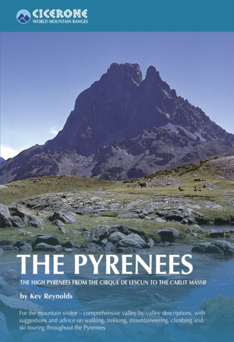
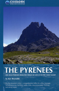
- The Pyrenees: The High Pyrenees from the Cirque de Lescun to the Carlit Massif
- The Pyrenees is accomplished walker Kev Reynolds’ large-format Cicerone guide to one of Europe’s most famous and impressive mountain ranges. The guide gives a valley-by-valley description of the High Pyrenees from west to east and is a very useful reference to help identify the best locations for walking, mountaineering, skiing and climbing.... Read more
- Also available from:
- The Book Depository, United Kingdom
- Bol.com, Netherlands
- Bol.com, Belgium
- De Zwerver, Netherlands

United Kingdom
2010
- The Pyrenees
- The High Pyrenees from the Cirque de Lescun to the Carlit Massif Read more
Netherlands
2010
- The Pyrenees
- A resource book covering the finest walks, treks and climbs in the High Pyrenees for 400km between France and Spain, from the Cirque de Lescun, on the edge of the Basque country in the west, to the Carlit massif and the Cerdagne to the east of Andorra. The book is divided into five regional chapters: the Western Valleys; Cirques and Canyons;... Read more
Belgium
2010
- The Pyrenees
- A resource book covering the finest walks, treks and climbs in the High Pyrenees for 400km between France and Spain, from the Cirque de Lescun, on the edge of the Basque country in the west, to the Carlit massif and the Cerdagne to the east of Andorra. The book is divided into five regional chapters: the Western Valleys; Cirques and Canyons;... Read more
Netherlands
2010
- Wandelgids - Klimgids - Klettersteiggids The Pyrenees | Cicerone
- A resource book covering the finest walks, treks and climbs in the High Pyrenees for 400km between France and Spain, from the Cirque de Lescun, on the edge of the Basque country in the west, to the Carlit massif and the Cerdagne to the east of Andorra. It is the first in our World Mountain Ranges series. Read more

United Kingdom
2015
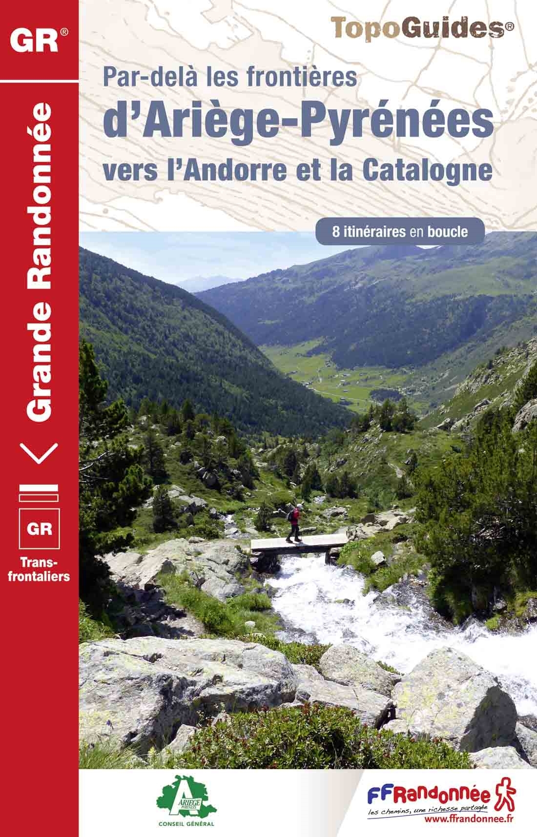
- GRP: Ariège-Pyrénées – Andorre - Catalogne FFRP Topo-guide No. 1098
- Par-delà les frontiers d’Ariège-Pyrénées vers Andorre et la Catalogne, FFRP topoguide Ref. no. 1098, covering 384kms of trails in eight cross-border circuits in the Pyrenees between 36kms and 72kms long. The routes include a 70kms tour in the footsteps of Charlemagne, a 44kms Three Nations circuit, etc. Current edition of this title was... Read more
- Also available from:
- De Zwerver, Netherlands
Netherlands
2015
- Wandelgids 1098 Par dela les Frontieres d' Ariège - Pyrenees | FFRP
- Franstalige wandelgids. Uitstekende beschrijving met gedetailleerd kaartmateriaal (topografisch, IGN) en veel praktische informatie over zwaarte, hoogte en hutten. Bijna onmisbaar voor het lopen van deze route. In andere beschrijvingen zijn geen goede kaarten bijgevoegd! Wij leveren er een beknopte Frans-Nederlandse woordenlijst bij. Dans le... Read more
Netherlands
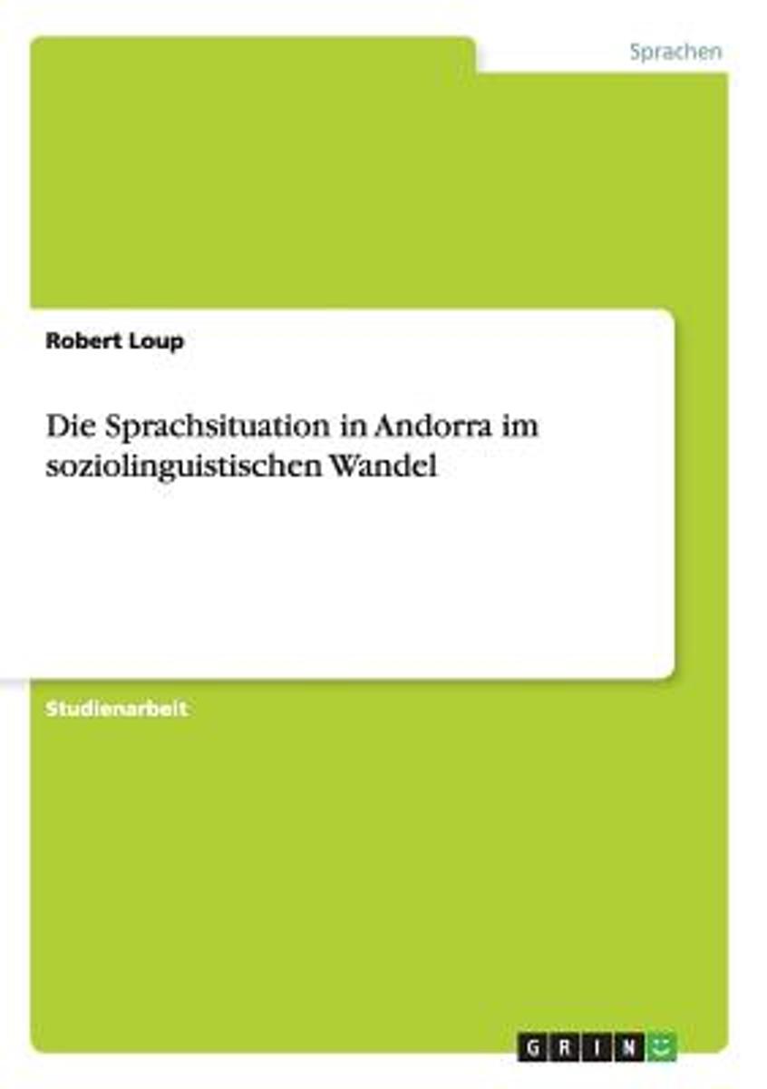
- Die Sprachsituation in Andorra Im Soziolinguistischen Wandel
- Studienarbeit aus dem Jahr 2009 im Fachbereich Romanistik - Spanische Sprache, Literatur, Landeskunde, Note: 1,0, Friedrich-Alexander-Universitat Erlangen-Nurnberg (Romanistik), Sprache: Deutsch, Abstract: Die soziolinguistische Situation des kleinen Furstentums Andorra nimmt aufgrund einer Konkurrenz von gleich mindestens vier Sprachen,... Read more
- Also available from:
- Bol.com, Belgium
Belgium
- Die Sprachsituation in Andorra Im Soziolinguistischen Wandel
- Studienarbeit aus dem Jahr 2009 im Fachbereich Romanistik - Spanische Sprache, Literatur, Landeskunde, Note: 1,0, Friedrich-Alexander-Universitat Erlangen-Nurnberg (Romanistik), Sprache: Deutsch, Abstract: Die soziolinguistische Situation des kleinen Furstentums Andorra nimmt aufgrund einer Konkurrenz von gleich mindestens vier Sprachen,... Read more
Netherlands
2016
Maps

United Kingdom
- Andorra la Vella CNIG Topo 183-3
- Topographic coverage of mainland Spain at 1:25,000 published by the Centro Nacional de Información Geograficá, the country’s civilian survey organization. The maps have contours at 10m intervals and colouring and/or graphics to show different types of vegetation or land use. Boundaries of national parks and other protected areas are marked. In... Read more

United Kingdom
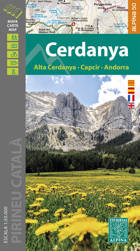
- Cerdanya - Alta Cerdanya - Capcir - Andorra Editorial Alpina
- Cerdanya: Alta Cerdanya - Capcir - Andorra at 1;50,000 in an extensive and very popular series of walking maps from Editorial Alpina covering the Pyrenees, Catalonia and other selected hiking areas in Spain, including Picos de Europa, Sierra Nevada and parts of Andalucía, Majorca, etc. Scales vary from 1:50,000 to 1:10,000, with the majority of... Read more
- Also available from:
- The Book Depository, United Kingdom
- De Zwerver, Netherlands


United Kingdom
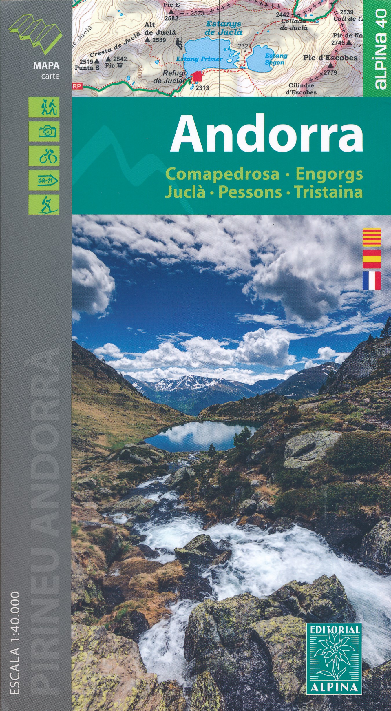
- Andorra - Comapedrosa - Engorgs - Jucla - Pessons - Tristaina Editorial Alpina
- Andorra at 1:40,000 on a contoured and GPS compatible map from Editoral Alpina highlighting both local waymarked routes and GR trails, campsites and other types of tourist accommodations, climbing and canyoning sites, locations of petrol stations on local roads, etc. The map has contours at 20m intervals, enhanced by relief shading and... Read more
- Also available from:
- The Book Depository, United Kingdom
- De Zwerver, Netherlands

United Kingdom

United Kingdom
- Old Cross-Pyrenean Trail (Camino de Reencuentro): la Seu d`Urgell - Andorra - Auzat
- A 105km / 65 miles long-distance hiking route crossing the Pyrenees along the ancient shepherd tracks from la Seu d’Urgel in Spain, across Andorra, to Auzat in France, presented by Editorial Alpina on a contoured and GPS compatible maps at 1:40,000.Topography is very clearly presented by contours at 20m intervals, with additional relief... Read more
- Also available from:
- De Zwerver, Netherlands
Netherlands
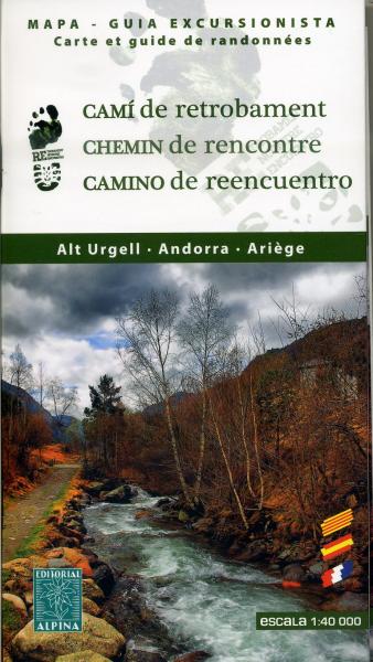
- Wandelkaart Cami de Retrobament - Alt Urgell - Andorra - Ariège | Editorial Alpina
- Wandelkaart van een lange afstandswandeling in Frankrijk - Spanje: Chemin de Rencontre - Alt Urgell, Andorra, Ariège. Gedetailleerde wandelkaart. Met hoogtelijnen, wandelroutes, campings en berghutten. Deze kaart bestrijkt de langeafstandswandelroute van Auzat via Andorra naar La Seu d'Urgell . Read more

United Kingdom
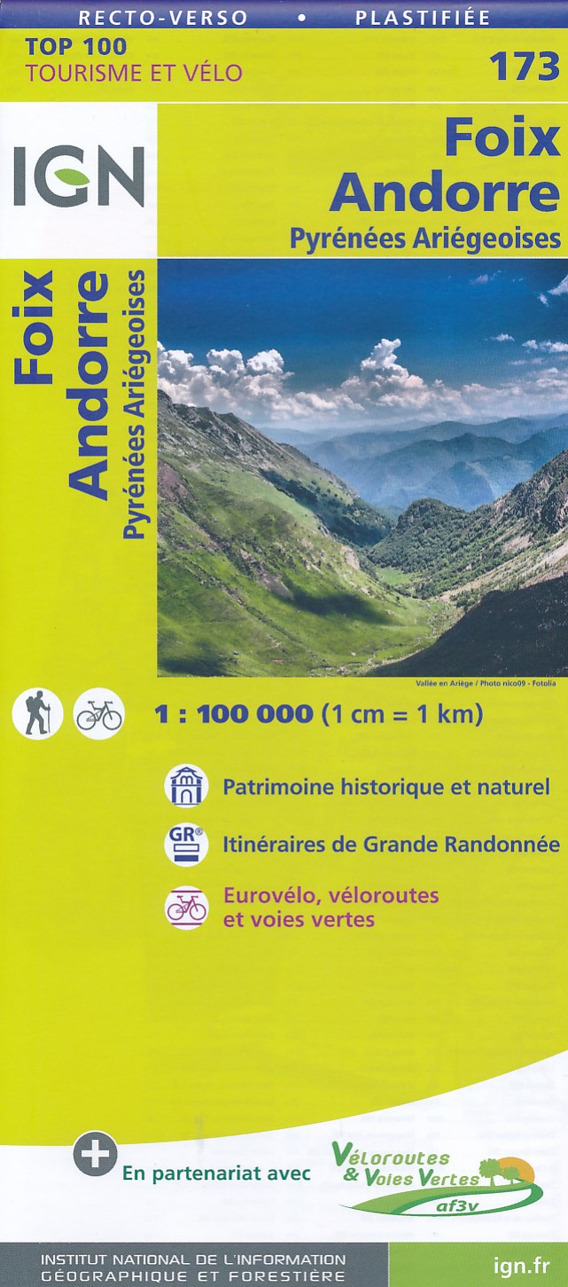
- Foix - Andorra - Pyrenees Ariegeoises IGN TOP100 173
- Discover the new double-sided laminated edition of TOP100 road maps of France from the Institut Géographique National (IGN); exceptionally detailed, contoured road maps which include the cycle paths and greenways of the AF3V (French Association for the Development of Cycle Paths and Greenways), ideal for exploring the French countryside by car,... Read more
- Also available from:
- De Zwerver, Netherlands
Netherlands
- Fietskaart - Wegenkaart - landkaart 173 Foix - Andorra | IGN - Institut Géographique National
- Map No. 173, St. Gaudens - Andorra, at 1:100,000, part of the TOP100 series from the Institut Géographique National (IGN). These exceptionally detailed, contoured and GPS compatible road maps which include English language map legend are ideal for exploring the French countryside by car, by bike, or even on foot. Used by millions of locals and... Read more

United Kingdom
2016
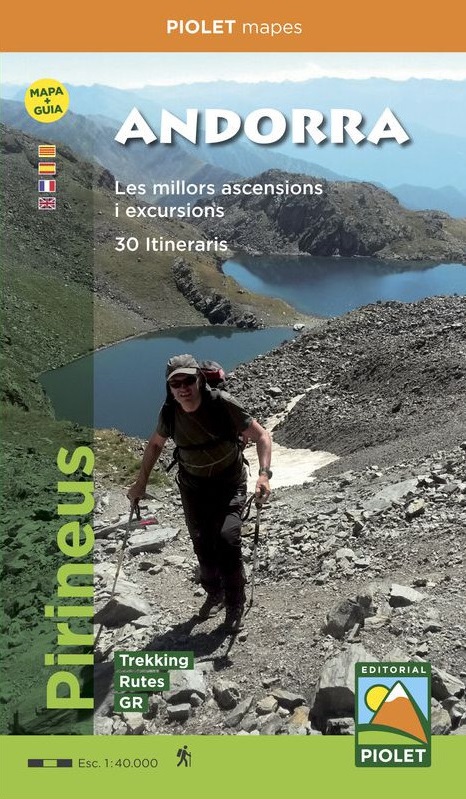
- Andorra Editorial Piolet Map+Guide
- Andorra at 1:40,000 on a contoured and GPS compatible map from Editoral Alpina highlighting both local waymarked routes and GR trails, campsites and other types of tourist accommodations, climbing and canyoning sites, locations of petrol stations on local roads, etc. The map has contours at 20m intervals, enhanced by relief shading and... Read more
- Also available from:
- De Zwerver, Netherlands