
Kaisergebirge
Description

The Kaisergebirge is one of the highlights of the Northern Limestone Alps. The area lies in the north of Austria near the German border, near Kufstein, the best place to start.
It is a beautiful and popular mountain area, not that large, but exceptionally beautiful. On the north side is a mountain range called the Kaiser Zahmer. To the south lies the Wilder Kaiser, with the Ellmauer Halt (2344 m) as its highest summit. In between the charming Kaisertal is situated, with the spectacular limestone mountains towering above.
The dramatic walls and sharp peaks are a paradise for climbers. For the experienced walker, there are good hiking possibilities too, but the traverse of the limestone ranges themselves is not simple. The highest peaks can be reached by the average hiker. And those who like to climb along the Klettersteige (Via Ferrata) will find many routes.
A good and safe walk is a four day trip around the Wilder Kaiser massif. Alternatively, one can climb the Pyramidenspitze (1997 m), the highest point of the Zahmer Kaiser, or the Ellmauer Halt itself. Of course, you can expect a good selection of huts in the Kaisergebirge.
Map

Trails in this region
Links
Facts
Reports
Guides and maps
Lodging
Organisations
Tour operators
GPS
Other
Books

Netherlands
- WF5421 Allgäu, Allgäuer Alpen Kompass
- De Kompass wandelgids + kaart geeft een overzicht van alle wandelroutes in het gebied met nauwkeurige routeaanwijzingen en hoogteaanduidingen, De extra grote kaart, schaal 1:35 000, is ideaal om van te voren uw route uit te stippelen en om onderweg te gebruiken • naast de bekende bestemmingen, worden ook de minder bekende vermeld • openbaar... Read more
- Also available from:
- Bol.com, Belgium
Belgium
- WF5421 Allgäu, Allgäuer Alpen Kompass
- De Kompass wandelgids + kaart geeft een overzicht van alle wandelroutes in het gebied met nauwkeurige routeaanwijzingen en hoogteaanduidingen, De extra grote kaart, schaal 1:35 000, is ideaal om van te voren uw route uit te stippelen en om onderweg te gebruiken • naast de bekende bestemmingen, worden ook de minder bekende vermeld • openbaar... Read more

Netherlands
- Japan Im Zeitlichen Wandel Politik Und Geschichte Der Meiji Restauration
- "Die Meiji-Zeit (1868-1912) ist eine der bemerkenswertesten Epochen in der Geschichte der Nationen. Unter Kaiser Meiji macht sich Japan daran, in nur wenigen Jahrzehnten das zu erreichen, f r dessen Entwicklung der Westen Jahrhunderte gebraucht hat - die Schaffung eines modernen Staates mit modernen Industrien, modernen politischen... Read more
- Also available from:
- Bol.com, Belgium
Belgium
- Japan Im Zeitlichen Wandel Politik Und Geschichte Der Meiji Restauration
- "Die Meiji-Zeit (1868-1912) ist eine der bemerkenswertesten Epochen in der Geschichte der Nationen. Unter Kaiser Meiji macht sich Japan daran, in nur wenigen Jahrzehnten das zu erreichen, f r dessen Entwicklung der Westen Jahrhunderte gebraucht hat - die Schaffung eines modernen Staates mit modernen Industrien, modernen politischen... Read more


United Kingdom
2016
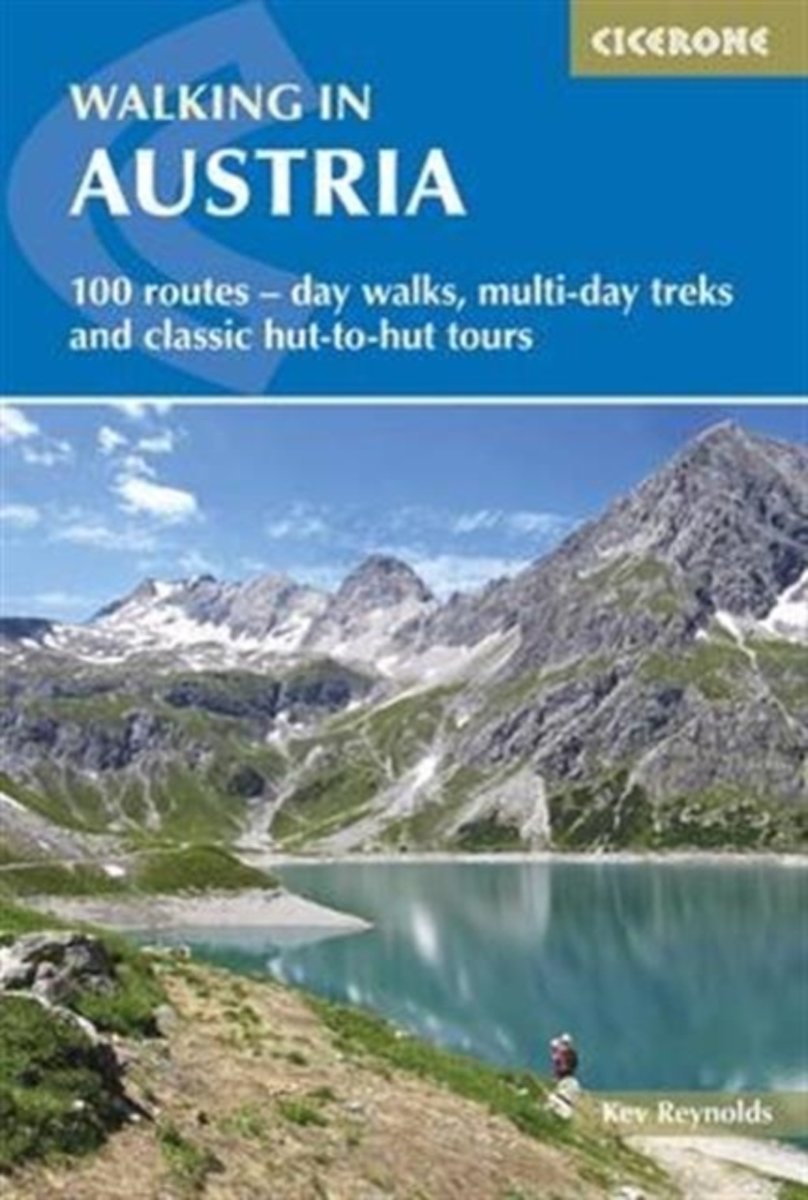
- Walking in Austria: 101 Routes - Day Walks, Multi-Day Treks and Classic Hut-to-Hut Tours
- A comprehensive guidebook detailing walking routes in Austria. The 101 walks reflect the diversity of this popular region and cover Austria`s magnificent Alps - including the Ratikon, Silvretta, Stubai and Zillertal - as well as the Dachsteingebirge, Hohe Tauern and the Karawanken. Graded according to difficulty and ranging from short walks of... Read more
- Also available from:
- The Book Depository, United Kingdom
- Bol.com, Netherlands
- Bol.com, Belgium
- De Zwerver, Netherlands

United Kingdom
2016
- Walking in Austria
- 101 routes - day walks, multi-day treks and classic hut-to-hut tours Read more
Netherlands
2016
- Walking in Austria
- A comprehensive guidebook detailing walking routes in Austria. The 101 walks reflect the diversity of this popular region and cover Austria's magnificent Alps - including the Ratikon, Silvretta, Stubai and Zillertal - as well as the Dachsteingebirge, Hohe Tauern and the Karawanken. Graded according to difficulty and ranging from short walks of... Read more
Belgium
2016
- Walking in Austria
- A comprehensive guidebook detailing walking routes in Austria. The 101 walks reflect the diversity of this popular region and cover Austria's magnificent Alps - including the Ratikon, Silvretta, Stubai and Zillertal - as well as the Dachsteingebirge, Hohe Tauern and the Karawanken. Graded according to difficulty and ranging from short walks of... Read more
Netherlands
2016
- Wandelgids Oostenrijk - Walking in Austria | Cicerone
- A comprehensive guidebook to walking routes in Austria. 101 routes, day walks, multi-day treks and classic hut-to-hut tours in the Ratikon, Silvretta, Stubai, and Zillertal Alps, the Hohe Tauern, and the Karawanken. With information on transport, accommodation, gear and safety, plus full details of over a hundred Austrian mountain huts. Read more
Netherlands
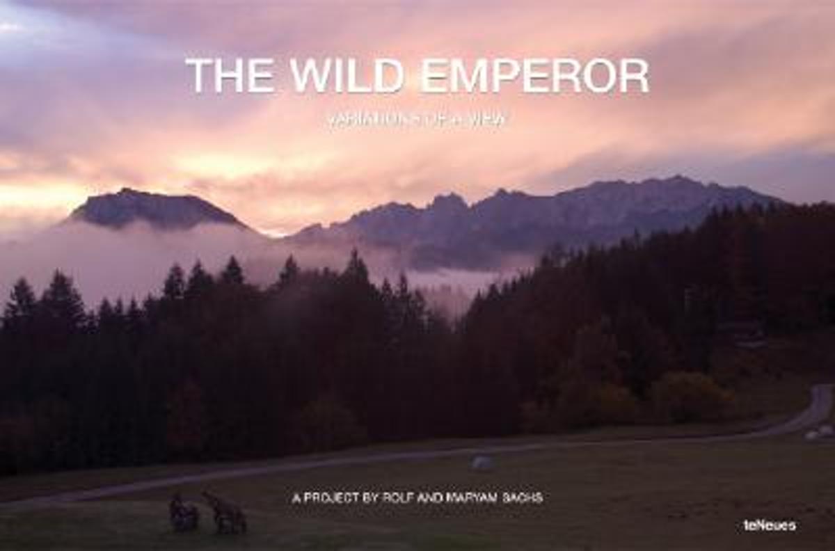
- Wild Emperor, Variations of a View
- A series of panoramic photographs were taken of an alpine view from the balcony of a mountain lodge called the Rechenau, near Kiefersfelden in Bavaria. Maryam and Rolf Sachs focused their camera on two majestic mountain peaks, ?Der Zahme Kaiser? (the Tame Emperor) on the left and ?Der wilde Kaiser?(the Wild Emperor) on the right, that lie over... Read more
- Also available from:
- Bol.com, Belgium
Belgium
- Wild Emperor, Variations of a View
- A series of panoramic photographs were taken of an alpine view from the balcony of a mountain lodge called the Rechenau, near Kiefersfelden in Bavaria. Maryam and Rolf Sachs focused their camera on two majestic mountain peaks, ?Der Zahme Kaiser? (the Tame Emperor) on the left and ?Der wilde Kaiser?(the Wild Emperor) on the right, that lie over... Read more
Netherlands
2012
- Wandelgids Hikeline Wilder Kaiser | Esterbauer
- Handzame gids met een goede beschrijving van een groot aantal dagtochten in dit gebied. De gids is in spiraalbinding en elke pagina is op scheur- en watervast papier gedrukt. Daar is echt over nagedacht! Wilder Kaiser Das Kaisergebirge im österreichischen Bundesland Tirol liegt mit seinen beiden markanten Gebirgsstöcken, dem Zahmen und dem... Read more

Netherlands
2021
- Wandelgids Adlerweg - Adelaarsweg | Rother Bergverlag
- De Rother wandelgidsen beschrijven zeer goed de wandelingen in specifieke gebieden. In de gids vindt men kaarten, routebeschrijvingen en de nodige praktische informatie om van de wandelingen/trekkings een geslaagde onderneming te maken. 31 Höhenprofile; 32 Wanderkärtchen im Maßstab 1:75.000, zwei Übersichtskarten; GPS-Tracks zum Download »Auf... Read more
Netherlands
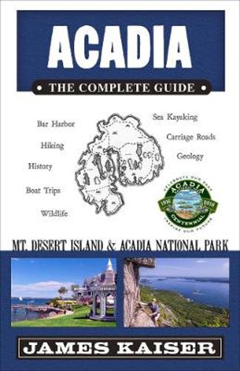
- Acadia
- This gorgeous, full-color guidebook reveals the highlights and hidden gems of Acadia National Park and Mount Desert Island. Whatever your interests--hiking to the top of Cadillac Mountain, dining on fresh lobster in Bar Harbor, sailing past historic Bass Harbor Lighthouse--Acadia: The Complete Guide puts the best of Acadia at your fingertips.... Read more
- Also available from:
- Bol.com, Belgium
Belgium
- Acadia
- This gorgeous, full-color guidebook reveals the highlights and hidden gems of Acadia National Park and Mount Desert Island. Whatever your interests--hiking to the top of Cadillac Mountain, dining on fresh lobster in Bar Harbor, sailing past historic Bass Harbor Lighthouse--Acadia: The Complete Guide puts the best of Acadia at your fingertips.... Read more
Netherlands
2022
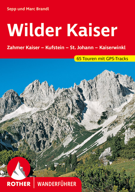
- Wandelgids Wilder Kaiser | Rother Bergverlag
- Zahmer Kaiser - Kufstein - St. Johann - Kössen. 56 ausgewählte Bergwanderungen in und um das Kaisergebirge Read more

Netherlands
- Berchtesgadender und Chiemgauer Alpen
- Die Berge um das Dreil ndereck von Bayern, Salzburg und Tirol, bieten Skitouren f r jeden Geschmack: Hier locken die Chiemgauer und Dientner Berge mit reizvollem Almgl nde, w hrend das Kaisergebirge, die Loferer und Leoganger Steinberge sowie das Steinerne Meer die Skibergsteiger mit Fr hjahrsfirn unter grandioser Felskulisse bezaubern. In den... Read more
- Also available from:
- Bol.com, Belgium
Belgium
- Berchtesgadender und Chiemgauer Alpen
- Die Berge um das Dreil ndereck von Bayern, Salzburg und Tirol, bieten Skitouren f r jeden Geschmack: Hier locken die Chiemgauer und Dientner Berge mit reizvollem Almgl nde, w hrend das Kaisergebirge, die Loferer und Leoganger Steinberge sowie das Steinerne Meer die Skibergsteiger mit Fr hjahrsfirn unter grandioser Felskulisse bezaubern. In den... Read more
Netherlands
- Acadia
- Acadia National Park is coastal Maine's most beautiful destination. This gorgeous, full-color travel guidebook reveals the highlights and hidden gems of Acadia and Mount Desert Island. The bestselling Acadia guidebook for over a decade! Over 100 five-star reviews for previous editions! Whatever your interests-hiking to the top of Cadillac... Read more
- Also available from:
- Bol.com, Belgium
Belgium
- Acadia
- Acadia National Park is coastal Maine's most beautiful destination. This gorgeous, full-color travel guidebook reveals the highlights and hidden gems of Acadia and Mount Desert Island. The bestselling Acadia guidebook for over a decade! Over 100 five-star reviews for previous editions! Whatever your interests-hiking to the top of Cadillac... Read more
Netherlands
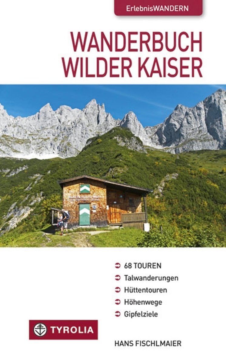
- Wanderbuch Wilder Kaiser
- Das Kaisergebirge - weit ber Tirol hinaus bekannt als Wander- und Urlaubsparadies! Wilde, schroffe Felsgestalten und steil abfallende W nde eingerahmt von einer lieblichen Landschaft, in der dunkle W lder, blaue Bergseen und urspr nglich gebliebene Ortschaften sich wie die Perlen einer Kette aneinander reihen. Wie kaum ein anderes Gebirge... Read more
- Also available from:
- Bol.com, Belgium
Belgium
- Wanderbuch Wilder Kaiser
- Das Kaisergebirge - weit ber Tirol hinaus bekannt als Wander- und Urlaubsparadies! Wilde, schroffe Felsgestalten und steil abfallende W nde eingerahmt von einer lieblichen Landschaft, in der dunkle W lder, blaue Bergseen und urspr nglich gebliebene Ortschaften sich wie die Perlen einer Kette aneinander reihen. Wie kaum ein anderes Gebirge... Read more

Netherlands
2017
- Griechenland: Trans Kreta E4
- Kein Geheimtipp und dennoch etwas in Vergessenheit geraten ist das ber 500 km lange Teilst ck des europ ischen Fernwanderweges E4 auf Kreta. Bereits seit den 1970er-Jahren geh rt dieser Abschnitt zu einem der beliebtesten des l ngsten europ ischen Fernwanderweges und ist somit ein echter Trekkingklassiker.Wer gut markierte Pfade und verl... Read more
- Also available from:
- Bol.com, Belgium
- De Zwerver, Netherlands
Belgium
2017
- Griechenland: Trans Kreta E4
- Kein Geheimtipp und dennoch etwas in Vergessenheit geraten ist das ber 500 km lange Teilst ck des europ ischen Fernwanderweges E4 auf Kreta. Bereits seit den 1970er-Jahren geh rt dieser Abschnitt zu einem der beliebtesten des l ngsten europ ischen Fernwanderweges und ist somit ein echter Trekkingklassiker.Wer gut markierte Pfade und verl... Read more

Netherlands
2017
- Wandelgids E4 Kreta Lefka Ori und Lasithi | Conrad Stein Verlag
- OutdoorHandbuch. 3. Auflage. Read more

- Also available from:
- Bol.com, Netherlands
- Bol.com, Belgium

Netherlands
- My Favorite Central Sierra Nevada Hikes
- This book describes my favorite hikes over the last 20 years in the Central Sierra Nevada Mountains. These hikes include Vernal and Nevada Falls, Half Dome, Cloud's Rest, Vogelsang High Sierra Camp, Ostrander Lake, Pohono Trail and Chilnualna Falls in Yosemite National Park. They also include hikes in the Sierra National Forest including... Read more
Belgium
- My Favorite Central Sierra Nevada Hikes
- This book describes my favorite hikes over the last 20 years in the Central Sierra Nevada Mountains. These hikes include Vernal and Nevada Falls, Half Dome, Cloud's Rest, Vogelsang High Sierra Camp, Ostrander Lake, Pohono Trail and Chilnualna Falls in Yosemite National Park. They also include hikes in the Sierra National Forest including... Read more
Netherlands
2018
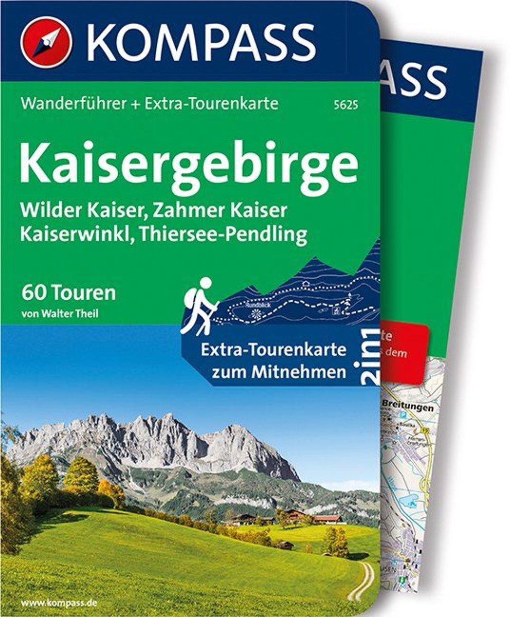
- WF5625 Kaisergebirge Kompass
- Destination:. Das Tourengebiet umfasst den Bereich des Wilden Kaisers und des Zahmen Kaisers, begrenzt durch die Linien Ebbs - Kössen - St. Johann - Söll - Ebbs, sowie die angrenzenden Gebiete des Kaiserwinkls im Norden, des Großachentals im Osten, der Kitzbüheler Aussichtsberge im Süden und des Pölven- und Pendlingkamms im Westen.. Der... Read more
- Also available from:
- Bol.com, Belgium
Belgium
2018
- WF5625 Kaisergebirge Kompass
- Destination:. Das Tourengebiet umfasst den Bereich des Wilden Kaisers und des Zahmen Kaisers, begrenzt durch die Linien Ebbs - Kössen - St. Johann - Söll - Ebbs, sowie die angrenzenden Gebiete des Kaiserwinkls im Norden, des Großachentals im Osten, der Kitzbüheler Aussichtsberge im Süden und des Pölven- und Pendlingkamms im Westen.. Der... Read more
Maps

United Kingdom
- Olympus Geopsis 139
- Mt Olympus in a series of waterproof and tear-resistant hiking maps at scales varying from 1:50,000 to 1:10,000, with a UTM grid for GPS users. Contour interval varies depending on the scale, on most maps it is 20m. Relief shading, spot heights, springs, seasonal streams and, in most titles, landscape/land-use variations, e.g. forests,... Read more

United Kingdom
- E4 Arquipelago de Cabo Verde
- Plans included:Porto Novo (Ilha de Santo Antão) (1:10 000)Mindelo (Porto Grande) (Ilha de São Vicente) (1:20 000)Ilha de Santa Luzia (1:not known)Porto de Tarrafal (Ilha de São Nicolau) (1:8500)Porto da Preguiça (Ilha de São Nicolau) (1:8500)Baía da Palmeira (Ilha do Sal) (1:15 000)Porto de Sal-Rei (Ilha da Boavista) (1:30 000)Porto da Praia... Read more

United Kingdom
- Hungarian National Long-distance Blue Trail (E4): Visegrad to Irott-ko
- Hiking guide to the north-western section of Hungary’s National Blue Trail which forms part of the E4 European long-distance footpath. The guide covers the route from the historic town of Visegrád on the Danube, across the Buda Hills on the outskirts of Budapest and the Bakony Hills along the north-eastern shore of Lake Balaton, to Írott-ko in... Read more

United Kingdom
- Bregenz F&B
- Indexed street plan of Bregenz extending north along the Bodensee coast to Lochau and Unter Hochsteg. Detail includes pedestrianised areas, railways, bus routes and cycle paths. Notable buildings are highlighted in red, and symbols indicate post offices, hostels, campsites and car parks.On the reverse is a 1:50,000 contoured map of the... Read more

United Kingdom
- Peloponnese Anavasi Road Atlas
- Road Atlas of the Peloponnese from Anavasi, in an A4 paperback format, with contoured, GPS compatible mapping at 1:50,000, very detailed road classification, hiking paths, and place names in both Greek and Latin alphabets.The main section of the atlas has 178 pages of detailed maps with contours at 100m intervals, altitude colouring and relief... Read more

United Kingdom
- Taygetos - North Taygetos Anavasi 8.1
- The Taygetos range between Sparta and Kalamata at 1:50,000 on a contoured, GPS compatible map from Anavasi with on the reverse a special map highlighting the region’s numerous hiking trails, including the course of the E4 European long-distance path.On one side is the main map of the area with excellent presentation of its topography by... Read more

United Kingdom
- Greece: Attika and Central Greece Road Atlas
- Road Atlas of Attika, the region around Athens, and Central Greece from Anavasi, in an A4 paperback format, with contoured mapping at 1:50,000, a 2km UTM grid for GPS users, very detailed road classification, hiking paths, and place names in both Greek and Latin alphabets.The main section of the atlas has 219 pages of detailed maps with... Read more

United Kingdom
- Transrhodopi - Long distance hiking and biking trail From Trigrad to Ivaylovgrad
- Western Rhodope Mountains at 1:100,000 on a contoured GPS compatible map from Domino extending from just west of the Pirin National Park to Asenovgrad in the north-east. The map is double-sided with a good overlap between the sides. Topography is shown by contours at 50m intervals with relief shading and spot heights, plus colouring for... Read more

United Kingdom
- Frangokastelo - Plakias Anavasi 11.17
- The Frangokastelo – Plakias area on the southern coast of Crete at 1:25,000 in a series of contoured, GPS compatible hiking maps of Crete from Anavasi, printed waterproof and tear-resistant paper. Annotations provide useful hints for walkers. Coverage extends from Imbros Gorge in the west to Plakias in the east.Topography is shown by contour... Read more
- Also available from:
- The Book Depository, United Kingdom
- De Zwerver, Netherlands

United Kingdom
- Fragokastelo - Plakias 2016
- Uitstekende topografische kaarten van een deel van Griekenland: zonder meer hele goede kaarten voor wandeltochten in een onbekend stuk Griekenland! Ze zijn gedrukt op scheurvast en watervast papier op een schaal van 1:25.000 met een UTM grid voor GPS gebruikers. Op de meeste kaarten is geven de hoogtelijnen een interval van 20m. aan. Met... Read more

Netherlands
- Wandelkaart 11.17 Frangokastelo - Plakias - Kreta | Anavasi
- Uitstekende topografische kaarten van een deel van Griekenland: zonder meer hele goede kaarten voor wandeltochten in een onbekend stuk Griekenland! Ze zijn gedrukt op scheurvast en watervast papier op een schaal van 1:25.000 met een UTM grid voor GPS gebruikers. Op de meeste kaarten is geven de hoogtelijnen een interval van 20m. aan. Met... Read more

United Kingdom
- Exo Mani - Verga - Kardamyli - Trachila Anavasi 8.10
- The northern part of the western coast of the Mani Peninsula, the “middle finger” of the Peloponnese, on a light, waterproof and tear-resistant, double-sided, contoured and GPS-compatible map at 1:20,000 from Anavasi highlighting 24 hiking trails and various facilities and places of interest. Coverage, with a good overlap between the sides,... Read more
- Also available from:
- The Book Depository, United Kingdom
- De Zwerver, Netherlands

United Kingdom
- Exo Mani 2018
- Uitstekende wandelkaart op scheur- en watervast papier van het wandelgebied rond Kardamyli maar ook nog met Agios Nikolaos. De wandelpaden staan er op ingetekend, zo ook alle bezienswaardigheden als klooster, kastelen en meerdere opgravingen. Mani is the middle and southernmost peninsula of the Peloponnese and is split between Laconia and... Read more

Netherlands
- Wandelkaart 8.10 Exo Mani | Anavasi
- Uitstekende wandelkaart op scheur- en watervast papier van het wandelgebied rond Kardamyli maar ook nog met Agios Nikolaos. De wandelpaden staan er op ingetekend, zo ook alle bezienswaardigheden als klooster, kastelen en meerdere opgravingen. Mani is the middle and southernmost peninsula of the Peloponnese and is split between Laconia and... Read more

United Kingdom
- Prespa - Vitsi - Voras Anavasi 6.2
- Prespa - Vitsi – Voras area of northern Greece at 1:50,000 on a light, waterproof and tear-resistant, GPS compatible, contoured map from Anavasi, with recommendations for three hiking trails and notes on the E4 and E6 cross-European trails. The map is double-sided; coverage in the west starts from the Prespa Lake on the border with Albania and... Read more
- Also available from:
- The Book Depository, United Kingdom
- De Zwerver, Netherlands

United Kingdom
- Prespa - Vitsi - Voras
- Uitstekende topografische kaarten van een deel van Griekenland: zonder meer hele goede kaarten voor wandeltochten in een onbekend stuk Griekenland! Ze zijn gedrukt op scheurvast en watervast papier op een schaal van 1:50.000 met een UTM grid voor GPS gebruikers. Op de meeste kaarten is geven de hoogtelijnen een interval van 20m. aan. Met... Read more

Netherlands
- Wandelkaart 6.2 Prespa - Vitsi - Voras | Anavasi
- Uitstekende topografische kaarten van een deel van Griekenland: zonder meer hele goede kaarten voor wandeltochten in een onbekend stuk Griekenland! Ze zijn gedrukt op scheurvast en watervast papier op een schaal van 1:50.000 met een UTM grid voor GPS gebruikers. Op de meeste kaarten is geven de hoogtelijnen een interval van 20m. aan. Met... Read more

United Kingdom
- Kufstein - Kaisergebirge - Kitzbühel F&B WK301
- Kufstein - Kaisergebirge - Kitzbühel - Wörgl - St Johann in Tirol area of the Austrian Alps presented at 1:50,000 in a series of contoured and GPS compatible outdoor leisure map from Freytag & Berndt with hiking and cycling routes, mountain huts, campsites and youth hostels, local bus stops, plus other tourist information. To see the list of... Read more
- Also available from:
- The Book Depository, United Kingdom

United Kingdom

United Kingdom
- Samaria - Sougia - Paliochora Anavasi 11.13
- Samaria – Sougia area of the White Mountains on Crete on a waterproof and tear-resistant, GPS compatible and contoured hiking map at 1:25,000 from Anavasi, extending from the famous Gorge of Samaria westwards to Azogyres and Plemeniana, and north past Omalos and the peaks of Troili and Kaimeni Kafala.Topography is shown by contour lines at 20m... Read more
- Also available from:
- The Book Depository, United Kingdom
- De Zwerver, Netherlands

United Kingdom
- Samaria - Sougia
- Uitstekende topografische kaarten van een deel van Griekenland: zonder meer hele goede kaarten voor wandeltochten in een onbekend stuk Griekenland! Ze zijn gedrukt op scheurvast en watervast papier op een schaal van 1:25.000 met een UTM grid voor GPS gebruikers. Op de meeste kaarten is geven de hoogtelijnen een interval van 20m. aan. Met... Read more

Netherlands
- Wandelkaart 11.13 Samaria - Soughia - Kreta | Anavasi
- Uitstekende topografische kaarten van een deel van Griekenland: zonder meer hele goede kaarten voor wandeltochten in een onbekend stuk Griekenland! Ze zijn gedrukt op scheurvast en watervast papier op een schaal van 1:25.000 met een UTM grid voor GPS gebruikers. Op de meeste kaarten is geven de hoogtelijnen een interval van 20m. aan. Met... Read more

United Kingdom
- Crete West
- Western Crete on a double-sided, contoured and GPS compatible map at 1:100,000 from Harms Verlag, with highlighting for numerous places of interest and 20 recommended hiking trails, plus street plans of central Heraklion, Rethymnon and Chania and a plan of the archaeological site at Knossos. All place names are in both Greek and Latin alphabet.... Read more
- Also available from:
- De Zwerver, Netherlands

Netherlands
- Wandelkaart Kreta west | Harms IC Verlag
- Western Crete on a double-sided, contoured and GPS compatible map at 1:100,000 from Harms Verlag, with highlighting for numerous places of interest and 20 recommended hiking trails, plus street plans of central Heraklion, Rethymnon and Chania and a plan of the archaeological site at Knossos. All place names are in both Greek and Latin alphabet.... Read more

United Kingdom
- Pirin Mountains Domino
- Pirin Mountains at 1:50,000 on a large, double-sided, contoured map with GPS waypoints for shelters and chalets, peaks, etc. and highlighting hiking routes. Topography is shown by contours at 40m intervals with additional relief shading and graphics and colouring for sandstone stacks, single rocks over 5m high, marshlands and different types of... Read more
- Also available from:
- De Zwerver, Netherlands

Netherlands
- Wandelkaart 6 Pirin gebergte | Domino
- Pirin Mountains at 1:50,000 on a large, double-sided, contoured map with GPS waypoints for shelters and chalets, peaks, etc. and highlighting hiking routes. Topography is shown by contours at 40m intervals with additional relief shading and graphics and colouring for sandstone stacks, single rocks over 5m high, marshlands and different types of... Read more