
Schobergruppe
Description
 The Schober Group lies south of the Glocknergruppe in the central Hohe Tauern - this beautiful protected mountain park in Austria. The summits in the Schobergruppe reach 3,283 m (Petzeck). Although most hikers probably choose the Grossglockner as their principal destination, it is rewarding to make a more comprehensive hut-to-hut tour south to the mountains of the Schobergruppe. Don't forget to drop some tears in those terrible reservoirs.
Map

Trails in this region
Links
Facts
Reports
Guides and maps
Lodging
Organisations
Tour operators
GPS
Other
Books
Bol.com
Netherlands
Netherlands
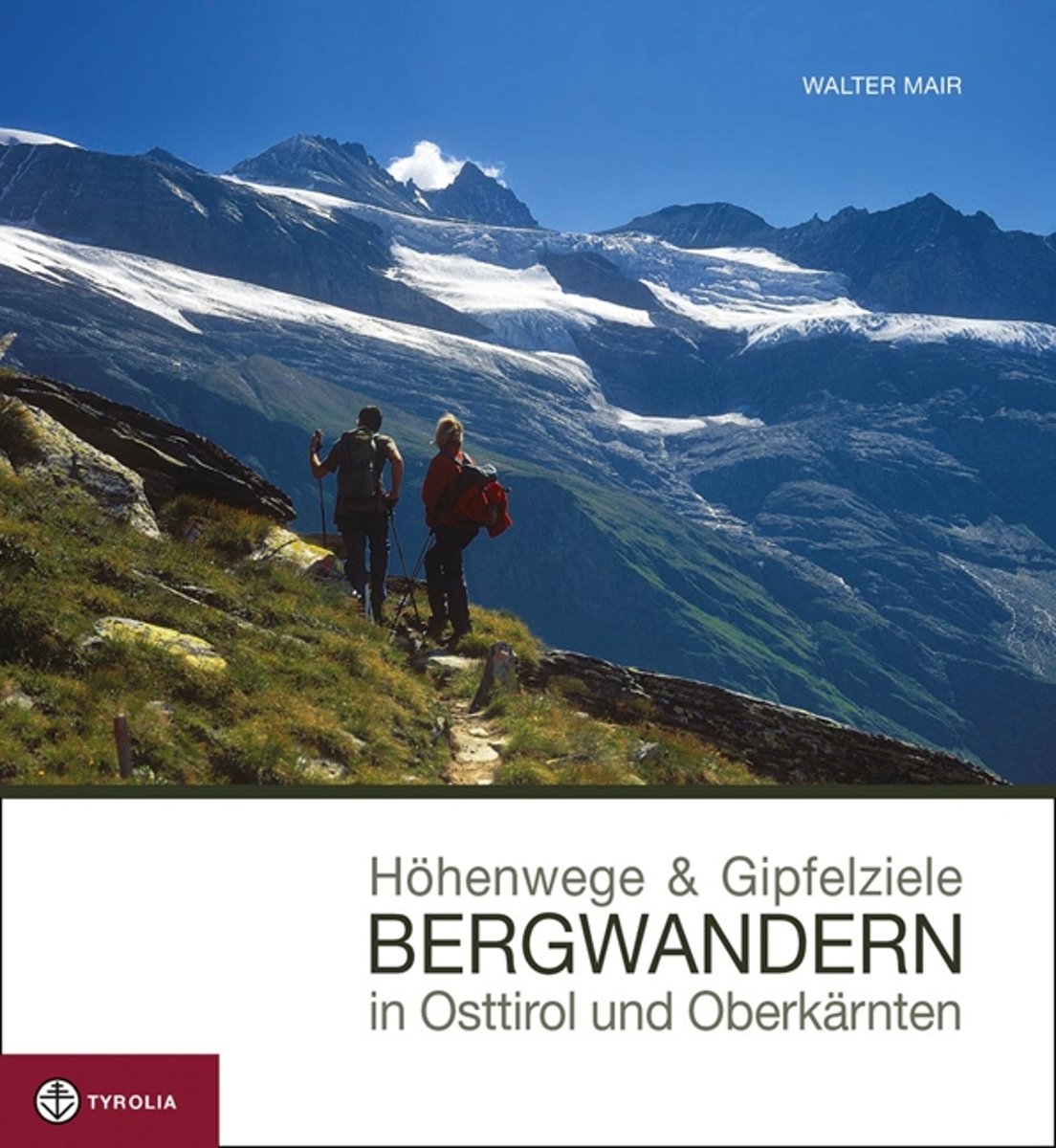
- Höhenwege & Gipfelziele - Bergwandern in Osttirol und Oberkärnten
- Dieses neue Bild-Wanderbuch pr sentiert die sch nsten H henwege und Gipfelziele der vielf ltigen Bergwelt Osttirols und Oberk rntens. Die reich bebilderten Tourenvorschl ge zu jeder Region werden dabei so pr sentiert, dass sie einen gr tm glichen Einblick in den Routenverlauf der vorgestellten Tour erlauben. Ideal also zum Vor- und... Read more
- Also available from:
- Bol.com, Belgium
Bol.com
Belgium
Belgium
- Höhenwege & Gipfelziele - Bergwandern in Osttirol und Oberkärnten
- Dieses neue Bild-Wanderbuch pr sentiert die sch nsten H henwege und Gipfelziele der vielf ltigen Bergwelt Osttirols und Oberk rntens. Die reich bebilderten Tourenvorschl ge zu jeder Region werden dabei so pr sentiert, dass sie einen gr tm glichen Einblick in den Routenverlauf der vorgestellten Tour erlauben. Ideal also zum Vor- und... Read more
De Zwerver
Netherlands
2021
Netherlands
2021
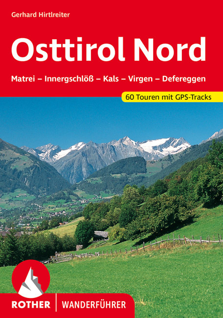
- Wandelgids Osttirol Nord | Rother Bergverlag
- Uitstekende wandelgids met een groot aantal dagtochten in dal en hooggebergte. Met praktische informatie en beperkt kaartmateriaal! Wandelingen in verschillende zwaarte weergegeven in rood/blauw/zwart. Das »Sonnenland« Osttirol liegt - fast zur Hälfte höher als 2000 m - südlich der höchsten Alpenkette Österreichs, der Hohen Tauern. Es ist von... Read more
De Zwerver
Netherlands
2022
Netherlands
2022
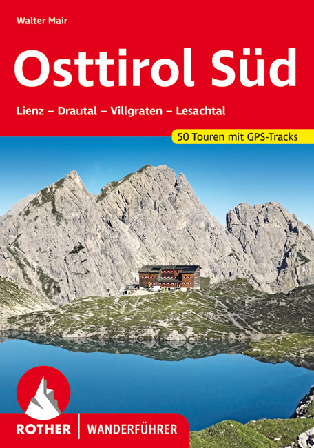
- Wandelgids Osttirol Süd | Rother Bergverlag
- Uitstekende wandelgids met een groot aantal dagtochten in dal en hooggebergte. Met praktische informatie en beperkt kaartmateriaal! Wandelingen in verschillende zwaarte weergegeven in rood/blauw/zwart. Osttirol liegt südlich der Hohen Tauern, der höchsten Alpenkette Österreichs, die so manche Regenfront aus dem Norden abhält. Von Süden her tun... Read more

De Zwerver
Netherlands
2016
Netherlands
2016
- Wandelgids Tauern-Höhenweg | Rother Bergverlag
- Uitstekende beschrijvingen van deze steeds populairder wordende bergtocht! Met alle noodzakelijke info. Zie voor beschrijving de duitse tekst hieronder ..... Nicht nur im Bann von Großglockner und Großvenediger erstreckt sich auf einer Gesamtlänge von etwa 200 Kilometern der Tauern-Höhenweg, der alle Gebirgsgruppen der Niederen und Hohen Tauern... Read more
Maps

- Also available from:
- De Zwerver, Netherlands

Stanfords
United Kingdom
United Kingdom
- Bregenz Forest F&B WK364
- Bregenz - Bregenzerwald area of the Austrian Alps presented at 1:50,000 in a series of contoured and GPS compatible outdoor leisure map from Freytag & Berndt with hiking and cycling routes, mountain huts, campsites and youth hostels, local bus stops, plus other tourist information. To see the list of currently available titles in this series... Read more
- Also available from:
- The Book Depository, United Kingdom
- Bol.com, Netherlands
- Bol.com, Belgium

The Book Depository
United Kingdom
United Kingdom
- Bregenz Forest Hiking + Leisure Map 1:50 000
- Bregenz - Bregenzerwald area of the Austrian Alps presented at 1:50,000 in a series of contoured and GPS compatible outdoor leisure map from Freytag & Berndt with hiking and cycling routes, mountain huts, campsites and youth hostels, local bus stops, plus other tourist information. To see the list of currently available titles in this series... Read more

Bol.com
Netherlands
Netherlands
- FB WK364 Bregenzerwald
- Aufgrund der übersichtlichen und detailgetreuen, digitalen Kartographie sowie der ideal gewählten Maßstäbe sind freytag & berndt Wanderkarten der perfekte Begleiter beim Wandern und Bergsteigen. Sie werden regelmäßig überarbeitet und enthalten aktualisierte Informationen zu Wanderwegen, Rad- und Mountainbikestrecken, Hütten, Naturdenkmälern,... Read more
Bol.com
Belgium
Belgium
- FB WK364 Bregenzerwald
- Aufgrund der übersichtlichen und detailgetreuen, digitalen Kartographie sowie der ideal gewählten Maßstäbe sind freytag & berndt Wanderkarten der perfekte Begleiter beim Wandern und Bergsteigen. Sie werden regelmäßig überarbeitet und enthalten aktualisierte Informationen zu Wanderwegen, Rad- und Mountainbikestrecken, Hütten, Naturdenkmälern,... Read more

Stanfords
United Kingdom
United Kingdom
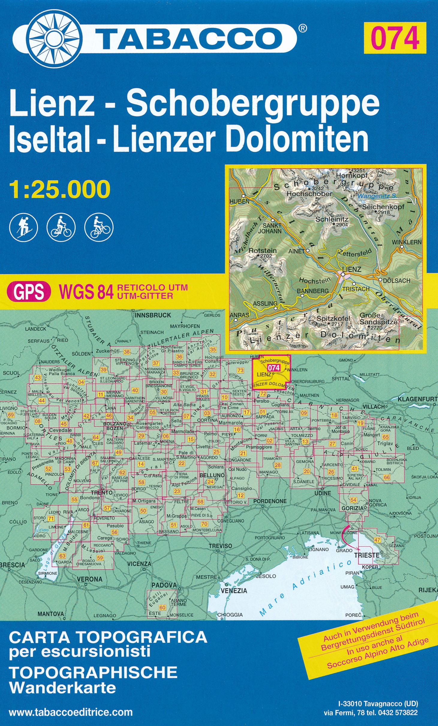
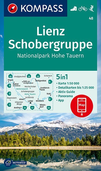
- Lienz - Schobergruppe - Hohe Tauern NP Kompass 48
- Lienz - Schobbergruppe - Hohe Tauern NP area of the Austrian Alps on a detailed, GPS compatible map at 1:50,000 from Kompass with local and long-distance footpaths, cycling routes, accommodation, etc, printed on durable, waterproof and tear-resistant synthetic paper. KOMPASS HIKING & RECREATIONAL MAPS: this title is part of an extensive series... Read more
- Also available from:
- De Zwerver, Netherlands

Stanfords
United Kingdom
United Kingdom
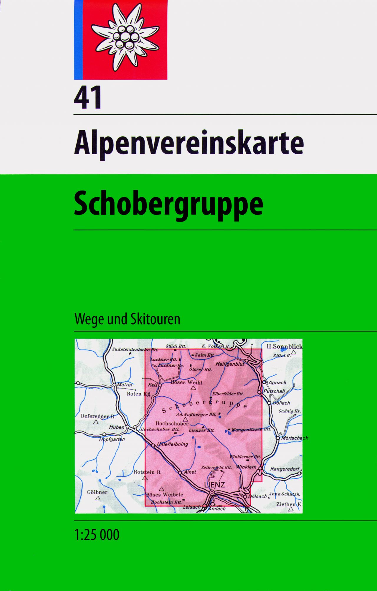
- Schobergruppe Alpenverein KOMBI Map 41
- Schobergruppe area of the Alps in a combined hiking and ski edition at 1:25,000 from a series of detailed, GPS compatible maps published by the DAV - Deutscher Alpenverein and produced by the German and Austrian Alpine Clubs using cartography from their respective survey organizations. Maps in this series have topography vividly presented by... Read more
- Also available from:
- De Zwerver, Netherlands
De Zwerver
Netherlands
Netherlands
- Wandelkaart 41 Alpenvereinskarte Schobergruppe | Alpenverein
- Schobergruppe area of the Alps in a combined hiking and ski edition at 1:25,000 from a series of detailed, GPS compatible maps published by the DAV - Deutscher Alpenverein and produced by the German and Austrian Alpine Clubs using cartography from their respective survey organizations. Maps in this series have topography vividly presented by... Read more