GR573 - Hautes Fagnes
Description
- Name GR573 - Hautes Fagnes (GR573)
- Length of trail 163 km, 101 miles
- Length in days 8 days
- Start of trail Vesdre
- End of trail Helle
- Traildino grading EW, Easy walk, nature trail


573
Vesdre - Hoëgene - Helle et Hautes Fagnes, 163 km (including 36 km variants)
Good point of this trail in Eastern Belgium, near the border with Germany, is its diversity of landscapes. The Haute Fagnes - High Moors - is a desolate high plane, at its best when it's raining and getting dark. The surroundings of the city of Luik, Liège, is special because of its industrial and mining history. Then you will also visit the old city of Spa. A real spa, so to say. This trail will bring you to Belgium's highest point: Botrange, 694 m.
Select some tracks
☐GRP 573 Tour de la vallée de la Vesdre et des Hautes Fagnes, 140km
☐GR 412 Liaison GR 573 et gare d'Angleur, 9.4km
☐GR 56 (Etappe St. Vith / Ligneuville) Cantons de l'Est et parc naturel Hautes Fagnes - Eifel, 19km
☐GR 56 (Etappe Amel / Losheimergraben) Cantons de l'Est et parc naturel Hautes Fagnes - Eifel, 22km
☐GR 56 (Etappe Burg Reuland / St. Vith) Cantons de l'Est et parc naturel Hautes Fagnes - Eifel, 15km
☐GR 56 (Etappe Schönberg / Burg Reuland) Cantons de l'Est et parc naturel Hautes Fagnes - Eifel, 21km
☐GR 56 (Etappe Losheimergraben / Schönberg) Cantons de l'Est et parc naturel Hautes Fagnes - Eifel, 21km
☐GRP 563 Liaison via Verviers vers GR 573, 7.6km
☐GRP 573 Liaison via Verviers au GRP 563, 7.6km
☐GRP 573 Liaison gare d'Angleur, 7.8km
☐GRP 573 Liaison gare d'Eupen, 1.7km
☐GRP 573 Liaison gare de Dolhain-Gileppe, 2km
☐GRP 573 Liaison gare de Trooz, 2.8km
☐GRP 573 Liaison gare de Fraipont, 0.3km
☐GRP 573 Liaison vers GRP 575 (Sprimont), 5.2km
☐GRP 573 Liaison GRP 573 - GR 5 - GRP 575 (Hautregard), 6.7km
☐GRP 573 - Tour de la vallée de la Vesdre et des Hautes Fagnes | Liaison GRP573 - GRP575 (Sprimont), 5.2km
☐GRP 573 Variante crue Herzogenhügel, 3.8km
☐GRP 573 Liaison gare de Pepinster, 8.4km
☐GRP 573 Variante Hoëgne, 28km
☐GR 56 Sentiers de l'Est de la Belgique | Parcours principal : Sentier des Frontières, 157km
☐GR 56 Variante Warche, 36km
☐GR 56 Variante Amblève (Amel), 37km
☐GR 56 Liaison Bayehon, 12km
Map

Links
Facts
Reports
Guides and maps
Lodging
Organisations
Tour operators
GPS
Other
Books
De Zwerver
Netherlands
2023
Netherlands
2023
Maps

Stanfords
United Kingdom
United Kingdom
- Fen Rail (Vennbahn) Cycle Route
- The High Fens (Vennbahn) Cycle Route, a 230-km long cycle trail from Aachen across the Hoge Venen / Hautes Fagnes Natural Park in eastern Belgium and Luxembourg to Luxembourg City, presented by the Verlag Esterbauer in guide with maps at 1:50,000 showing the route and its variants. Extensive information is conveyed by symbols, indicating road... Read more

Stanfords
United Kingdom
United Kingdom
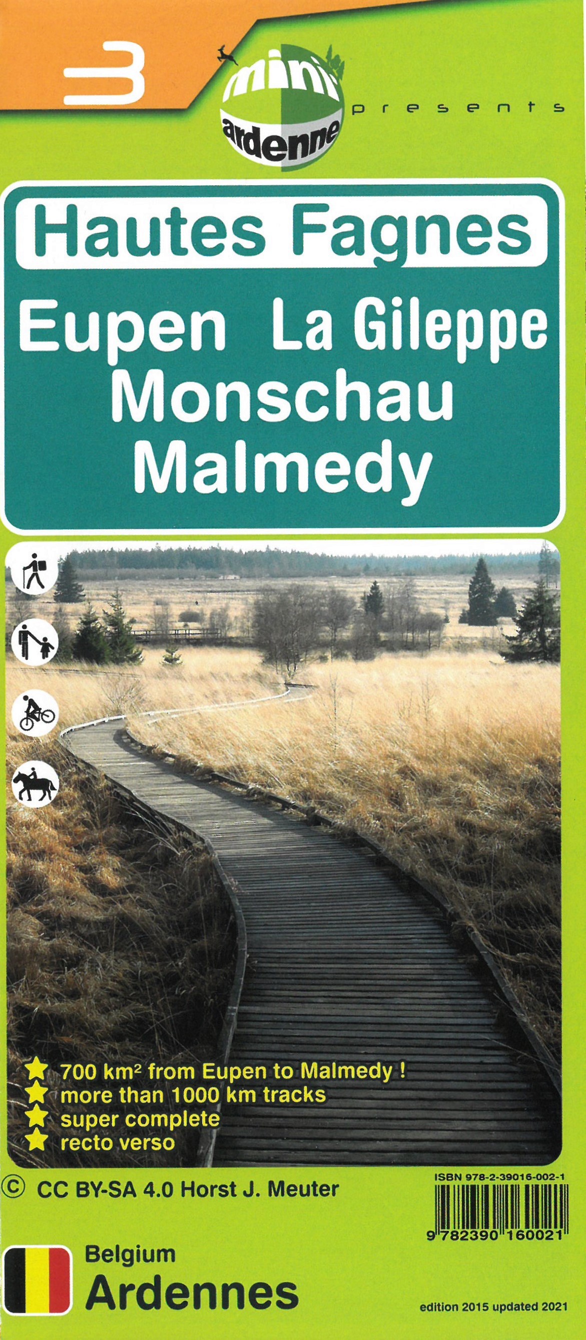
- Haute Fagnes - Eupen - La Gileppe - Monschau - Malmedy Mini-Ardenne 3
- Ardennes Recreational Maps at a scale of 1:25,000 enable you to discover the Ardennes from junction to junction, each associated with a locality, through a network of hiking, cycling or riding paths.The network of mini walks consists of suggested routes with kilometre distance marked showing field boundaries and urbanised built up areas. ... Read more
- Also available from:
- De Zwerver, Netherlands
De Zwerver
Netherlands
Netherlands
- Wandelkaart 03 Hautes Fagnes - Hoge Venen | Mini-Ardenne
- De wandelkaarten van Mini-Ardenne zijn volledig nieuw en op schaal 1/25000. De kaarten doen u belanden in een netwerk van honderden kilometers paden voor wandelaars, fietsers en ruiters. Door het gebruik van knooppunten (elk knooppunt is gelinkt aan een plaats), kunnen zowel de beginnende als de geoefende wandelaars de Ardennen en zijn... Read more

Stanfords
United Kingdom
United Kingdom
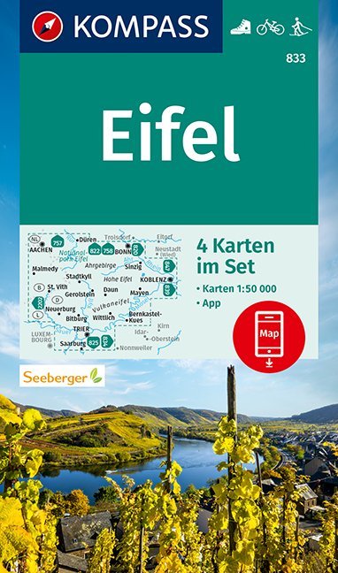
- Eifel 4-Map Set Kompass 833
- The Eifel region of Germany at 1:50,000 on a set of four double-sided, contoured and GPS compatible maps from Kompass with local and long-distance footpaths, cycling routes, accommodation, etc. Coverage extends from Aachen to the Rhine between Bonn and Koblenz, south to the Moselle, and includes most of the Hohes Venn / Hautes Fagnes Natural... Read more
- Also available from:
- De Zwerver, Netherlands