
Finland
Description
 Finland, melancholy land of forests and lakes, was overshadowed by the Soviet Union for many years. Now the sunny days of Sibelius' Karelia Suite have revived! Alas, the long lines of Sibelius symphonies are not reflected in the length of Finnish hiking trails. These last only for several days hiking on end, being restricted to small pockets of nature spared from commercial forestry.
The UKK trail along the border with Russia is the longest and adds up to 240km. The Finnish section of the European long distance trail E6 is still under construction, and the E10 apparently has been explored by the first enthousiasts. A popular path is the Bear's trail or Karhunkierros trail on the border with Russia. It offers the ultimate opportunity to sleep in a remote hut built over a river, and jump into the cold stream after a hot sauna in the woods. Also typically Finnish are the so-called National Hiking Areas, nine areas developed especially for hikers.
Walking in Finland means enjoying the damp forests, the sweet scent of peat bogs and the constant rustling of pine trees in the wind. Whenever the sun appears bright colours light up. Take care not to sit down in an ant hill. North of the polar circle, in the province of Lapland, the landscape opens up and colours are overwhelming.
The hiking season lasts from June until October. Maps are good. Paths are well-kept, marked and have simple shelters called laavu. Carry your own food. If you hate squishy marshes and muddy rivers, then try cross-country skiing in early spring. If you find lodging with a local family, allow time to get acquainted. It is common practice to first sit down to a cup of tea and remain silent for half an hour, just to see which way the wind blows, before starting a conversation.
Trails
- E10GPX
- E6GPX
- Herajärven KierrosGPX
- Hetta - Pallas Hiking Trail
- Itäraja Summer Hiking Route
- Karhunkierros TrailGPX
- KarhunpolkuGPX
- Keski-Soumen-Maakuntaura
- Kevo Trail
- KolinpolkuGPX
- MittnordenledenGPX
- NordkalottledenGPX
- Nuortti Hiking Trail
- Paimenpojan PolkuGPX
- Peura Trail
- RuijaledenGPX
- Santiago de Compostela Pilgrims WayGPX
- Sevettijärvi - Pulmanki Trail
- SusitaivalGPX
- Tapion TaivalGPX
- Urho Kaleva Kekkonen TrailGPX
Regions


 - by Jac")


Links
Facts
Reports
Guides and maps
Lodging
Organisations
Tour operators
GPS
Other
Books

United Kingdom
- Owl Sense
- A BBC RADIO 4 BOOK OF THE WEEKLonglisted for the Wainwright Golden Beer Book Prize 2018The owl has captivated the human imagination for millennia; as a predator, messenger, emblem of wisdom or portent of doom. Owl Sense tells a new story. On `owl walks` with her teenage son, Benji, Miriam Darlington begins a quest to identify every European... Read more
Netherlands
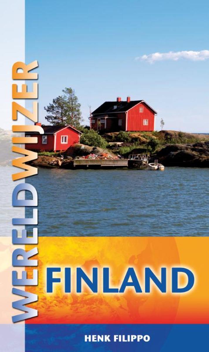
- Wereldwijzer - Finland
- Het Reishandboek Finland geeft veel informatie voor een actieve natuurvakantie. Met uitgebreide informatie over Helsinki, Turku en Tampere. Naast praktische informatie beschrijft de reisgids Finland 20 wandel-, fiets- en kanotips die de lezer wegwijs maken in de Finse natuur. Behalve alle bekende wintersporten als ski n en snowboarden zijn er... Read more
- Also available from:
- Bol.com, Belgium
Belgium
- Wereldwijzer - Finland
- Het Reishandboek Finland geeft veel informatie voor een actieve natuurvakantie. Met uitgebreide informatie over Helsinki, Turku en Tampere. Naast praktische informatie beschrijft de reisgids Finland 20 wandel-, fiets- en kanotips die de lezer wegwijs maken in de Finse natuur. Behalve alle bekende wintersporten als ski n en snowboarden zijn er... Read more
Netherlands
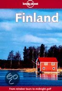
- FINLAND
- - the great Finnish outdoors - activities from trekking to snowboarding - expanded coverage of hip Helsinki - the city's finest revealed & reviewed - natural wonders: from beaches washed by the Baltic Sea to the northern lights of the Arctic Circle - Hei! Making small talk in Finnish & Swedish Read more
- Also available from:
- Bol.com, Belgium
Belgium
- FINLAND
- - the great Finnish outdoors - activities from trekking to snowboarding - expanded coverage of hip Helsinki - the city's finest revealed & reviewed - natural wonders: from beaches washed by the Baltic Sea to the northern lights of the Arctic Circle - Hei! Making small talk in Finnish & Swedish Read more
Netherlands
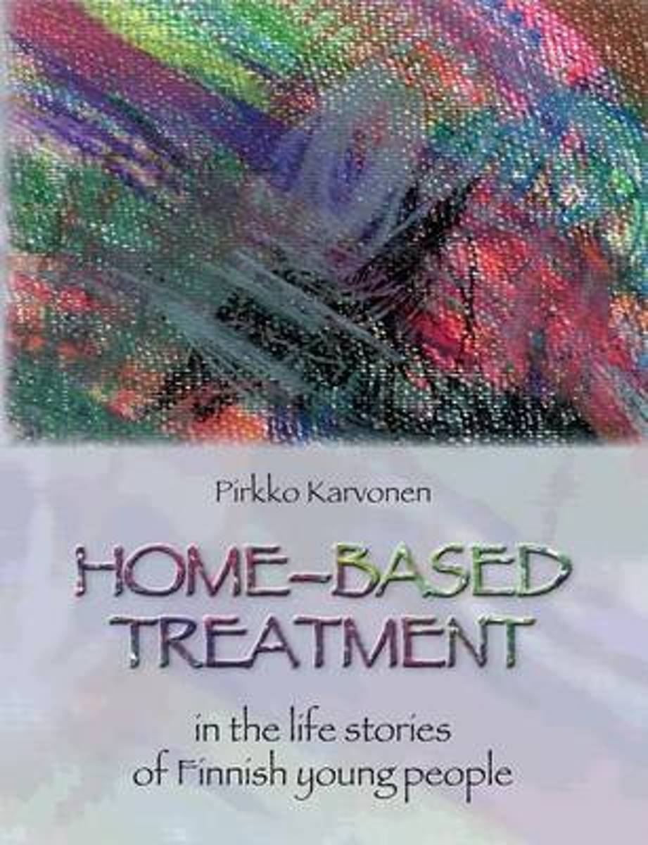
- Home-Based Treatment
- This book tells the life stories of nine physically handicapped young adults in Finland. Each of these young adults received the English Kerland/Brainwave home-based treatment when they were young. The rehabilitation was given three hours a day by the parents of the children and volunteers who came to assist in the process. These were the first... Read more
- Also available from:
- Bol.com, Belgium
Belgium
- Home-Based Treatment
- This book tells the life stories of nine physically handicapped young adults in Finland. Each of these young adults received the English Kerland/Brainwave home-based treatment when they were young. The rehabilitation was given three hours a day by the parents of the children and volunteers who came to assist in the process. These were the first... Read more
Netherlands
- Lonely Planet Finland
- - the great Finnish outdoors - activities from trekking to snowboarding - expanded coverage of hip Helsinki - the city's finest revealed & reviewed - natural wonders: from beaches washed by the Baltic Sea to the northern lights of the Arctic Circle - Hei! Making small talk in Finnish & Swedish Read more
- Also available from:
- Bol.com, Belgium
Belgium
- Lonely Planet Finland
- - the great Finnish outdoors - activities from trekking to snowboarding - expanded coverage of hip Helsinki - the city's finest revealed & reviewed - natural wonders: from beaches washed by the Baltic Sea to the northern lights of the Arctic Circle - Hei! Making small talk in Finnish & Swedish Read more
Netherlands
2015
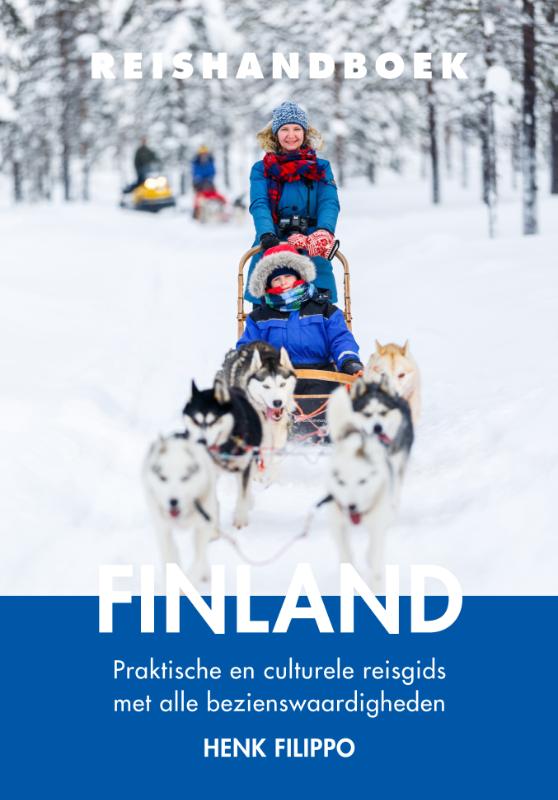
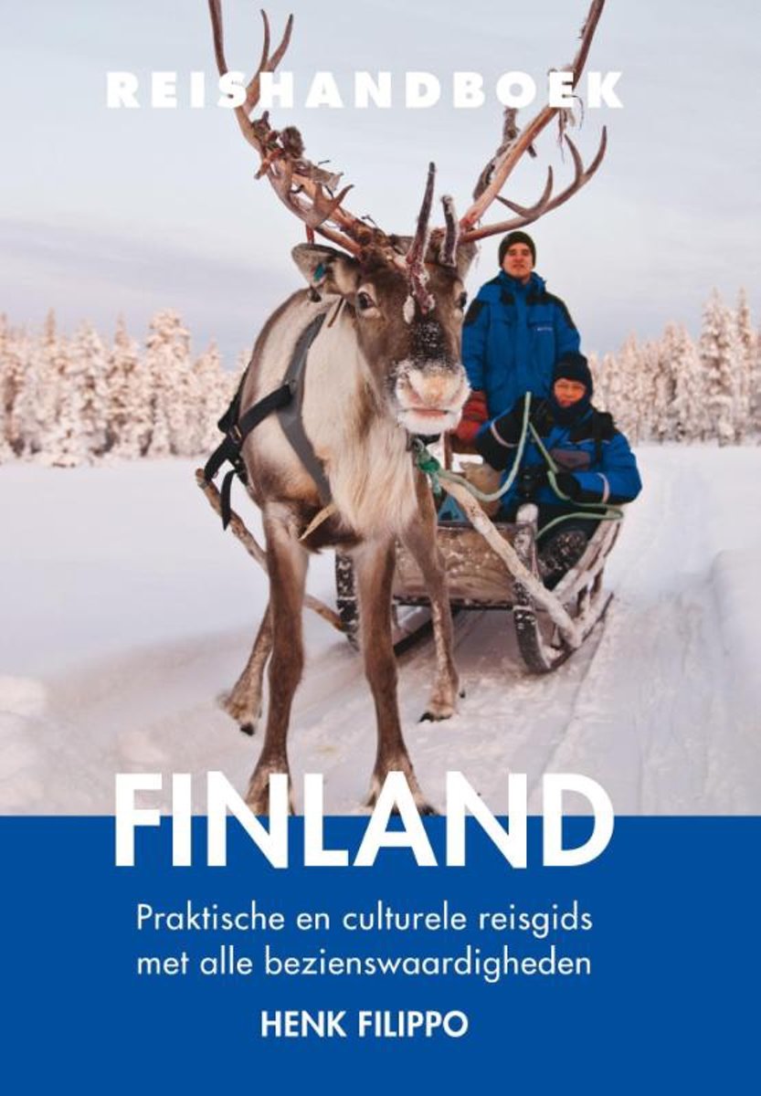
- Reishandboek - Reishandboek Finland
- Het Reishandboek Finland geeft veel informatie voor een actieve natuurvakantie. Met uitgebreide informatie over Helsinki, Turku en Tampere. Naast praktische informatie beschrijft de reisgids Finland 20 wandel-, fiets- en kanotips die de lezer wegwijs maken in de Finse natuur. Behalve alle bekende wintersporten als skiën en snowboarden zijn er... Read more
- Also available from:
- Bol.com, Belgium
Belgium
2015
- Reishandboek - Reishandboek Finland
- Het Reishandboek Finland geeft veel informatie voor een actieve natuurvakantie. Met uitgebreide informatie over Helsinki, Turku en Tampere. Naast praktische informatie beschrijft de reisgids Finland 20 wandel-, fiets- en kanotips die de lezer wegwijs maken in de Finse natuur. Behalve alle bekende wintersporten als skiën en snowboarden zijn er... Read more
Netherlands
2018
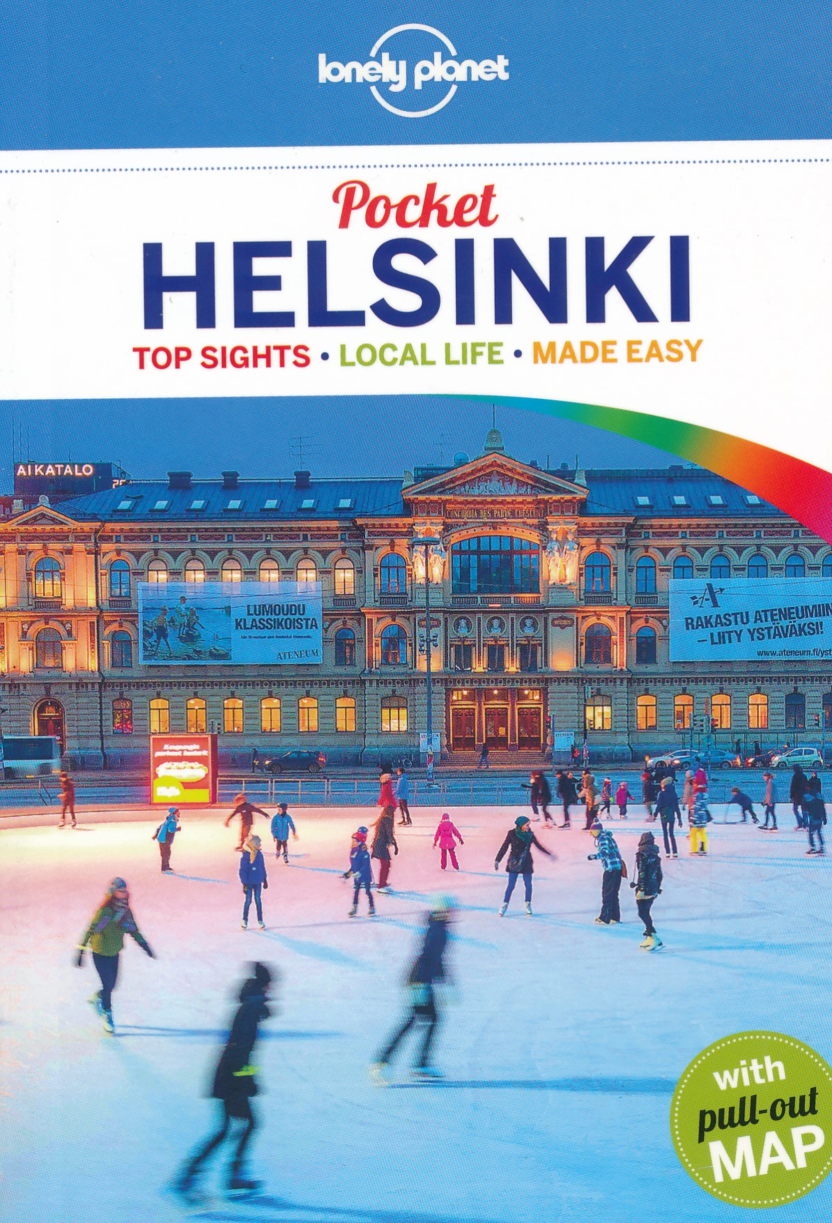
- Reisgids Pocket Helsinki | Lonely Planet
- Pocket Helsinki ab 9.49 EURO 1st edition Read more
Netherlands
2015
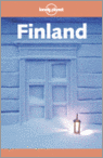
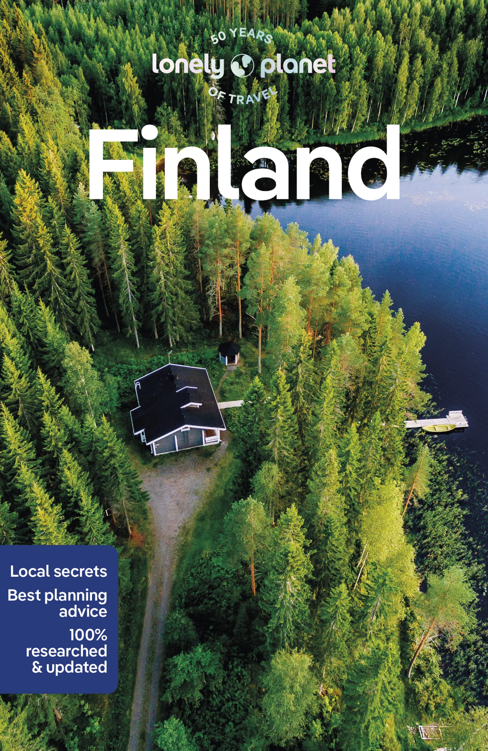
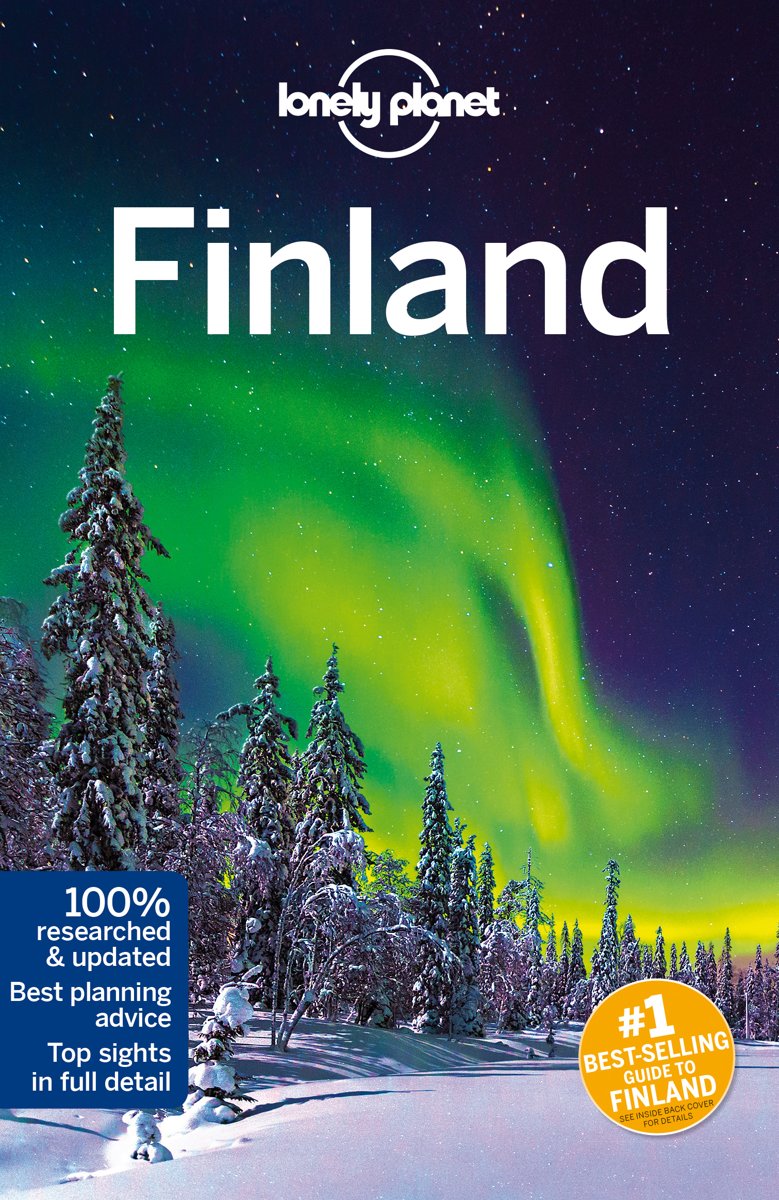
- Lonely Planet Finland
- #1 best-selling guide to Finland*Lonely Planet Finland is your passport to the most relevant, up-to-date advice on what to see and skip, and what hidden discoveries await you. Hike through forests and fells, spectacular gorges and ravines, fizz over the snow behind a team of huskies on an overnight dog-sled safari, then change the pace with... Read more
- Also available from:
- Bol.com, Belgium
Belgium
2015
- Lonely Planet Finland
- #1 best-selling guide to Finland*Lonely Planet Finland is your passport to the most relevant, up-to-date advice on what to see and skip, and what hidden discoveries await you. Hike through forests and fells, spectacular gorges and ravines, fizz over the snow behind a team of huskies on an overnight dog-sled safari, then change the pace with... Read more
Netherlands
2009
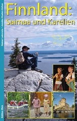
- Reisgids Finnland: Saimaa und Karelien selbst entdecken | Edition Elch
- Uitstekende reisgids over een deel van Finland: veel beschrijvingen van bezienswaardigheden en cultuur, maar ook nuttige praktische info over hoe je het beste kunt rondreizen. Met mooie foto´s en kaartjes. Duitstalig. Dank der Spezialisierung auf zwei besonders interessante Regionen innerhalb Finnlands ist dieses Buch konkurrenzlos. So viel... Read more
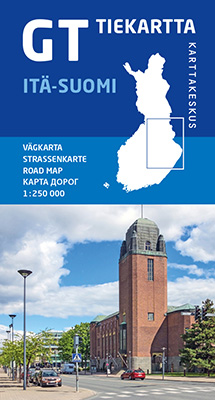
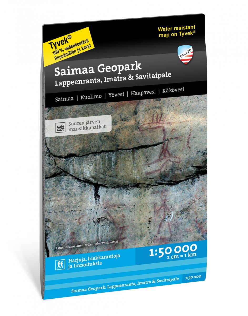
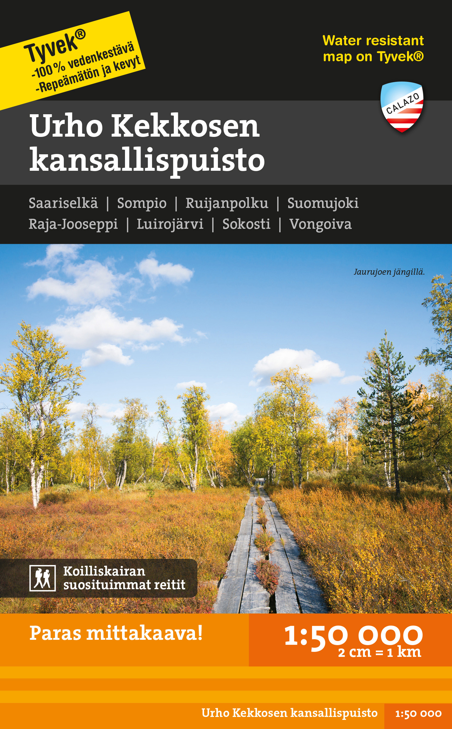
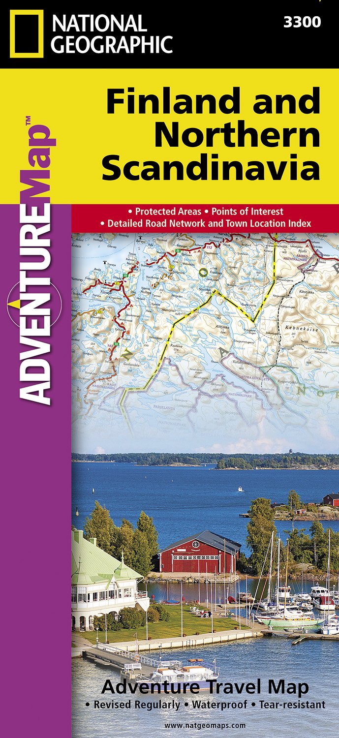
Maps
United Kingdom
- Salla - Savukoski Recreational Map
- Salla - Savukoski area of Finland at 1:100,000 in a series of beautiful and informative maps of popular outdoor leisure areas with cartography of the country’s topographic survey. Excellent use of colours, shading and symbols provides a very detailed picture of the terrain and vegetation. Extensive overprint highlights routes for hiking, and/or... Read more

United Kingdom
- Halti - Kilpisjärvi Karttakeskus Outdoor Map
- Halti – Kilpisjärvi area of northern Finland at 1:50,000 in a series of beautiful and informative maps of popular outdoor leisure areas from Karttakeskus with cartography of the country’s topographic survey. Contours are at 25m intervals, enhanced by relief shading plus graphics and/ colouring for different types of terrain and vegetation.... Read more

United Kingdom
- Porkkala - Helsinki - Pellinki Water Sports Map
- Porkkala - Helsinki - Pellinki Water Sports Map at 1:50,000 from Karttakeskus, covering the southern coast of Finland around Helsinki, printed on light, waterproof and tear-resistant synthetic paper. On sea depth contours are shown at 3, 6, 10, 20 and 50 metres, with shipping lanes and boat routes. Also marked designated outdoor recreation... Read more

United Kingdom
- Finland Karttakeskus Motorbikers Road Atlas A5 SPIRAL-BOUND
- Road Atlas of Finland for motorcyclists from Karttakeskus in a slightly larger than A5 spiral-bound format, highlighting 24 specially selected motorbike routes including bikers’ meeting points. Southern Finland is covered at 1:650,000 with the rest of the country, north of Oulu, at 1:800,000. Selected routes are prominently highlighted on the... Read more
United Kingdom
- Finland Karttakeskus Road Atlas
- Road Atlas of Finland, 2017 edition in an A4 spiral-bound format covering the southern and central parts of the country at 1:200,000, with the north at 1:250,000, plus city maps of 50 towns, enlargements showing in more details the environs of Helsinki, Oulu, Tampere and Turku, examples of traffic signs, etc. Over 2800 places of interest and... Read more
Netherlands
2022
Netherlands
2019
Netherlands
2021
Netherlands
2023
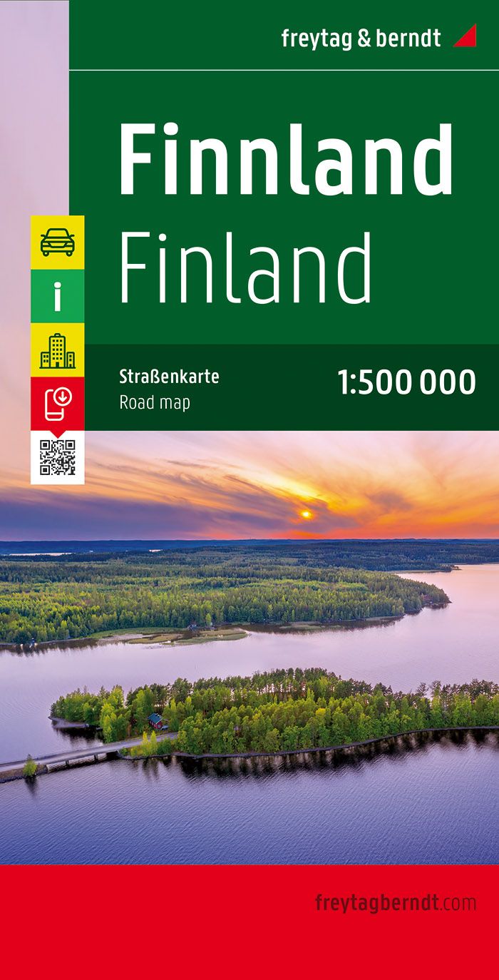
- Wegenkaart - landkaart Finland - Finnland | Freytag & Berndt
- Finnland 1 : 500 000 ab 10.9 EURO Citypläne, Ortsregister mit Postleitzahlen, Entfernungen in km Freytag & Berndt Autokarte. Neuauflage Read more