
GR20 - La montagne Corse
Description
- Name GR20 - La montagne Corse (GR20)
- Length of trail 200 km, 124 miles
- Length in days 16 days
- Start of trail Calenzana
- End of trail Conca
- Traildino grading DW, Difficult walk, bushwalk
- Hut tour grading T3, Demanding mountain walk


 GR20 , Calenzana - Conca, the travers of Corsica, 200 km, two weeks
You've hit on a very popular walk: the GR20. This trail follows the high ridges of mountainous Corsica, an astounding wild and beautiful landscape, dramatically changing from day to day. The GR20 is rewarding and enjoys universal admiration.
The trail is said to be the hardest of the Grand Randonnées. Looking on the map you will be surprised why you need two weeks to cover this small distance. The hardships are many: steep, often smooth plates, tricky in wet weather. Other sections need the help of your hands. Whenever necessary, you will find cables. Another problem is that you won't find many shops. Actually, if you don't like to descent to villages for provisions, you have only one shop halfway, in Vizzavona. This is also the first road you cross in one week time! Therefore, you have to carry food for a week.
Water in late summer can be difficult to find. You must take enough bottles or whatever to carry your water supply for a day.
The weather is probably best in spring, but you will have some patches of snow. From july to september thunderstorms develop in late afternoon. And it is hot! October is more calm, less hikers, but also dry.
One point on the downside must be noted here: the shamefully ill-conditioned facilities. Maybe you don't mind; fine for you. Camping or bivouac is forbidden anywhere but near the "huts" (sometimes "shack" is a better word) and there you will hardly find a place to pitch your tent but you will still have to pay. There is almost no food in the huts, often no meals, frequently no light, maybe one gas-burner for the entire overcrowded hut. We do not know if the situation has improved the last years. From 2009 onwards a reservation system has been introduced, also for camping. This is barely a solution for the bad welcome you get anyhow.
Map


Links
Facts
Reports
Guides and maps
Lodging
Organisations
Tour operators
GPS
Other
Books

United Kingdom
2019
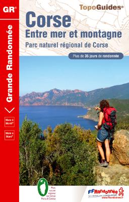
- Corse entre Mer et Montagne
- Corse entre Mer et Montagne, FFRP topoguide Ref. No. 065, covering various trails across the mountains of Corsica which provide shorter and/or easier alternatives to the popular but longer and more strenuous GR20. Current edition of this title was published in April 2016.ABOUT THE FFRP (Fédération française de la randonnée pédestre) TOPOGUIDES:... Read more
United Kingdom
2019
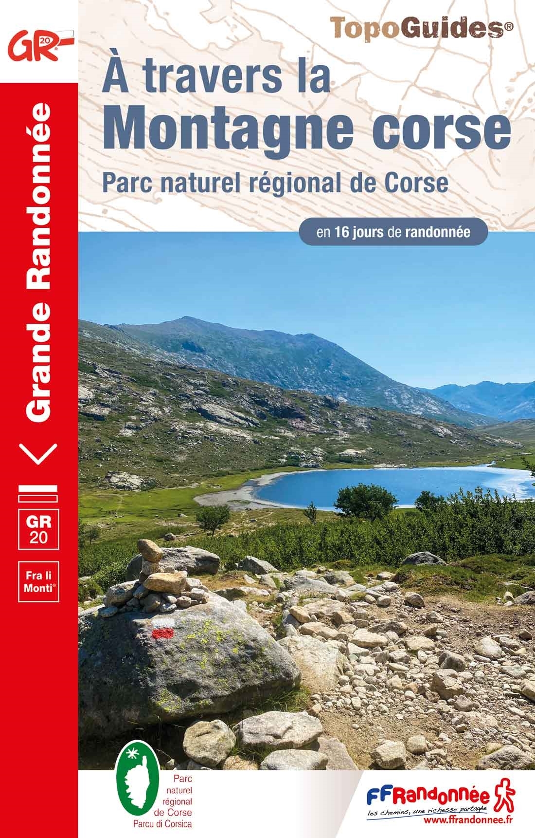
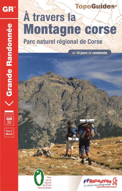
- A Travers la Montagne Corse - PNR de Corse GR20
- À Travers la Montagne Corse, FFRP topoguide Ref. No. 067, covering one of Europe’s most popular and demanding long-distance hiking walking trails, the 200km/125 miles-long high-level route across the mountains of Corsica. Current edition of this title was published in March 2014.To see other titles in this series please click on the series... Read more

United Kingdom
2020
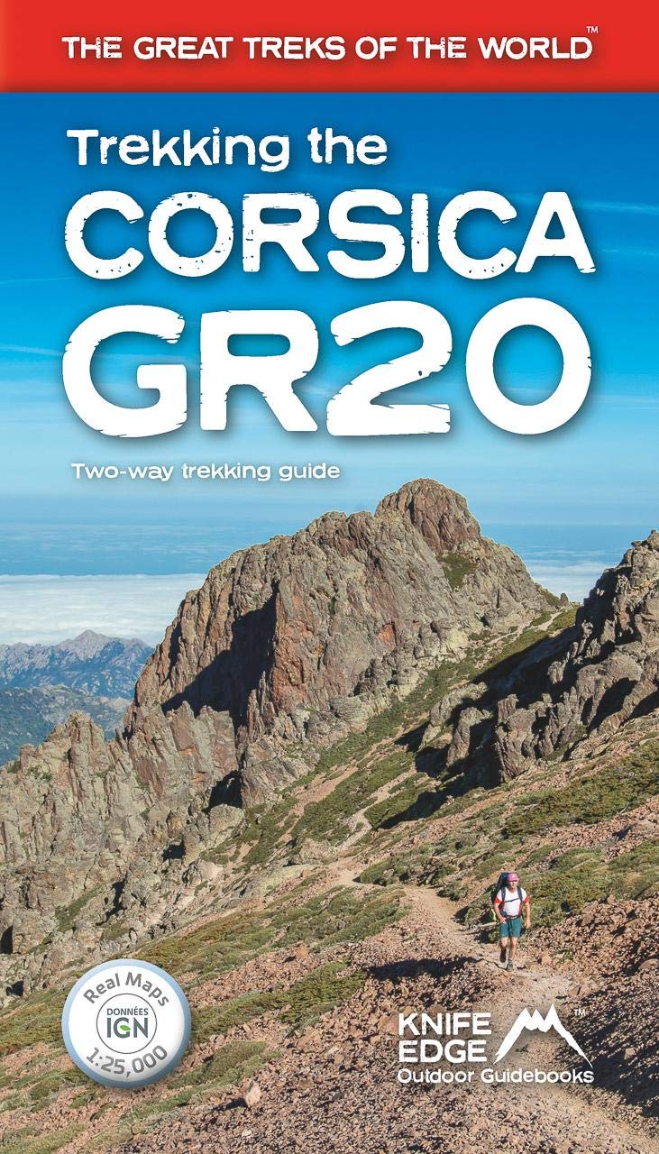
- Trekking the Corsica GR20 - Two-Way Trekking Guide - Real IGN Maps 1:25,000
- The definitive guidebook to the Corsica GR20, one of the world`s great treks. -The only two-way guidebook to the GR20: both northbound and southbound routes are described in full. - Real IGN Maps included (1:25,000): no need to carry separate maps. -15 different itineraries: schedules of 9, 10, 11, 12, 13, 14, 15 and 16 days. Includes both... Read more
- Also available from:
- The Book Depository, United Kingdom
- De Zwerver, Netherlands

United Kingdom
2020

- Also available from:
- De Zwerver, Netherlands
Netherlands
2015
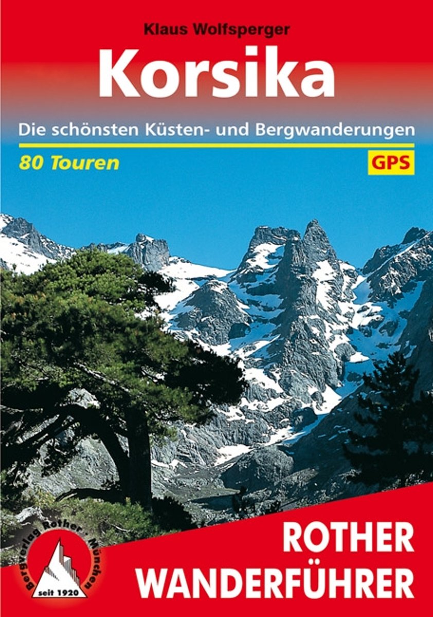
- Wanderungen Auf Korsika
- Das Standardwerk zu Korsika 80 ausgew hlte Wanderungen an den K sten und in den Bergen der Insel der Sch nheit Bizarre Felsk sten, liebliche Sandbuchten, herrliche Kastanien- und Kiefernw lder, blitzsaubere B che, zauberhafte Bergseen, Gipfelziele bis ber 2700 Meter H he, und dazu noch ein weitgehend ungetr btes Naturerlebnis welche... Read more
- Also available from:
- Bol.com, Belgium
- De Zwerver, Netherlands
Belgium
2015
- Wanderungen Auf Korsika
- Das Standardwerk zu Korsika 80 ausgew hlte Wanderungen an den K sten und in den Bergen der Insel der Sch nheit Bizarre Felsk sten, liebliche Sandbuchten, herrliche Kastanien- und Kiefernw lder, blitzsaubere B che, zauberhafte Bergseen, Gipfelziele bis ber 2700 Meter H he, und dazu noch ein weitgehend ungetr btes Naturerlebnis welche... Read more
Netherlands
2023
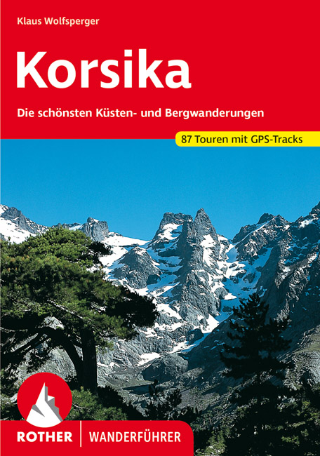
- Wandelgids 255 Korsika - Corsica | Rother Bergverlag
- Uitstekende wandelgids met een groot aantal dagtochten in dal en hooggebergte. Met praktische informatie en beperkt kaartmateriaal! Wandelingen in verschillende zwaarte weergegeven in rood/blauw/zwart. Das Standardwerk zu Korsika – 58 ausgewählte Wanderungen an den Küsten und in den Bergen der »Insel der Schönheit« Bizarre Felsküsten, liebliche... Read more
Netherlands
2016
- Reisgids Korsika - Corsica | Martin Velbinger
- Unieke reisgids over dit gebied: tamelijk ouderwets uiterlijk en illustraties gaan gepaard met informatie van zeer hoge kwaliteit. Inhoudelijk een goede gids! Korsika – Eine Insel mit eigenem Charakter: Sonne, 1000 km Sandstrand und Felsküste; zerklüftetes Gebirgsland, einsame Flusstäler; Korkeichen, Zypressen, Feigen- und Olivenbäume. Wilde... Read more
Netherlands
2008
- Trailblazer Corsica Trekking GR20
- A mountain range rising from the sea, Corsica holds the most arrestingly beautiful landscapes in the Mediterranean. From its cobalt blue gulfs and shell-sand beaches, hillsides of evergreen maquis give way to pristine oak, chestnut and pine forests, awesome gorges, alpine lakes and a spine of snow-streaked peaks and passes. Among the many... Read more
- Also available from:
- Bol.com, Belgium
Belgium
2008
- Trailblazer Corsica Trekking GR20
- A mountain range rising from the sea, Corsica holds the most arrestingly beautiful landscapes in the Mediterranean. From its cobalt blue gulfs and shell-sand beaches, hillsides of evergreen maquis give way to pristine oak, chestnut and pine forests, awesome gorges, alpine lakes and a spine of snow-streaked peaks and passes. Among the many... Read more
Netherlands
- WF5942 Korsika-Weitwanderweg GR 20 Kompass
- De Kompass wandelgids + kaart geeft een overzicht van alle wandelroutes in het gebied met nauwkeurige routeaanwijzingen en hoogteaanduidingen, De extra grote kaart, schaal 1:35 000, is ideaal om van te voren uw route uit te stippelen en om onderweg te gebruiken • naast de bekende bestemmingen, worden ook de minder bekende vermeld • openbaar... Read more
- Also available from:
- Bol.com, Belgium
Belgium
- WF5942 Korsika-Weitwanderweg GR 20 Kompass
- De Kompass wandelgids + kaart geeft een overzicht van alle wandelroutes in het gebied met nauwkeurige routeaanwijzingen en hoogteaanduidingen, De extra grote kaart, schaal 1:35 000, is ideaal om van te voren uw route uit te stippelen en om onderweg te gebruiken • naast de bekende bestemmingen, worden ook de minder bekende vermeld • openbaar... Read more
Netherlands
- WF5940 Korsika (Corsica) Kompass
- De Kompass wandelgids + kaart geeft een overzicht van alle wandelroutes in het gebied met nauwkeurige routeaanwijzingen en hoogteaanduidingen, De extra grote kaart, schaal 1:35 000, is ideaal om van te voren uw route uit te stippelen en om onderweg te gebruiken naast de bekende bestemmingen, worden ook de minder bekende vermeld openbaar... Read more
- Also available from:
- Bol.com, Belgium
Belgium
- WF5940 Korsika (Corsica) Kompass
- De Kompass wandelgids + kaart geeft een overzicht van alle wandelroutes in het gebied met nauwkeurige routeaanwijzingen en hoogteaanduidingen, De extra grote kaart, schaal 1:35 000, is ideaal om van te voren uw route uit te stippelen en om onderweg te gebruiken naast de bekende bestemmingen, worden ook de minder bekende vermeld openbaar... Read more

United Kingdom
2016
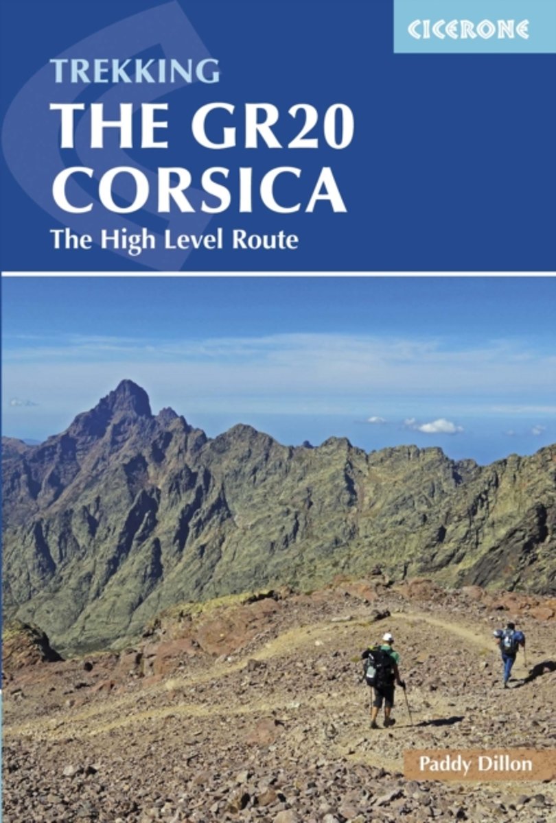
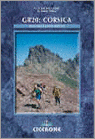
- The GR20 Corsica: The High Level Route
- This guidebook describes the classic GR20 trek, the north to south traverse of the rugged mountains of Corsica. Starting in Corscia`s north-west, in picturesque Calenzana, the route winds south-east, through the heart of Corsica, finishing on the eastern side of the island, just north of Porto Vecchio in the township of Conca. Described in 16... Read more
- Also available from:
- Bol.com, Netherlands
- Bol.com, Belgium
Netherlands
2016
- GR20 Corsica
- This guidebook describes the classic GR20 trek, the north to south traverse of the rugged mountains of Corsica. Starting in Corscia's north-west, in picturesque Calenzana, the route winds south-east, through the heart of Corsica, finishing on the eastern side of the island, just north of Porto Vecchio in the township of Conca. Described in 16... Read more
Belgium
2016
- GR20 Corsica
- This guidebook describes the classic GR20 trek, the north to south traverse of the rugged mountains of Corsica. Starting in Corscia's north-west, in picturesque Calenzana, the route winds south-east, through the heart of Corsica, finishing on the eastern side of the island, just north of Porto Vecchio in the township of Conca. Described in 16... Read more
Netherlands
- Walking In France
- Part of a series of "Lonely Planet" walking guides, this volume presents scenic walks in 13 French regions including the famous GR20 Corsican Trail and a range of picturesque day walks all within easy reach of Paris. Read more
- Also available from:
- Bol.com, Belgium
Belgium
- Walking In France
- Part of a series of "Lonely Planet" walking guides, this volume presents scenic walks in 13 French regions including the famous GR20 Corsican Trail and a range of picturesque day walks all within easy reach of Paris. Read more
- Also available from:
- Bol.com, Belgium
Netherlands
- Gr20
- This guidebook describes the ?classic' route to walking the GR20 on Corsica, along with high- and low-level alternatives, plus extra mountain climbs. The guide explains exactly what is involved in following the GR20, including what walkers need to carry and how difficult the route is in places. Detailed route descriptions give all the... Read more
- Also available from:
- Bol.com, Belgium
Belgium
- Gr20
- This guidebook describes the ?classic' route to walking the GR20 on Corsica, along with high- and low-level alternatives, plus extra mountain climbs. The guide explains exactly what is involved in following the GR20, including what walkers need to carry and how difficult the route is in places. Detailed route descriptions give all the... Read more
Maps

United Kingdom
- Corsica South 3-Map Set Kompass 2251
- The southern half of Corsica at 1:50,000 on a set of three double-sided, contoured and GPS compatible maps from Kompass with highlighting for walking / hiking trails including the GR20, cycle routes, campsites and mountain shelters, recreational facilities, etc, plus a road map of the whole island and town centre street plans of several... Read more
United Kingdom
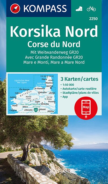
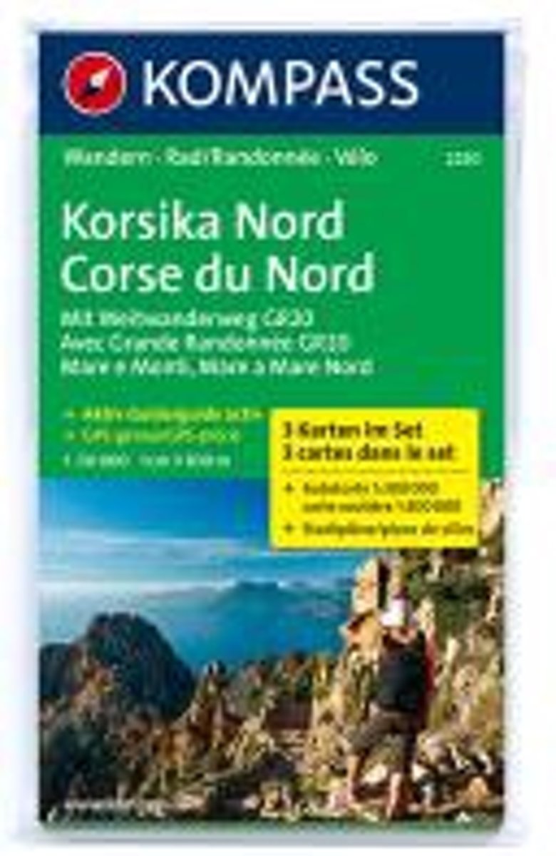
- Corsica North 3-Map Set Kompass 2250
- The northern half of Corsica at 1:50,000 on a set of three double-sided, contoured and GPS compatible maps from Kompass with highlighting for walking / hiking trails including the GR20, cycle routes, campsites and mountain shelters, recreational facilities, etc, plus a road map of the whole island and town centre street plans of several... Read more

United Kingdom
2022
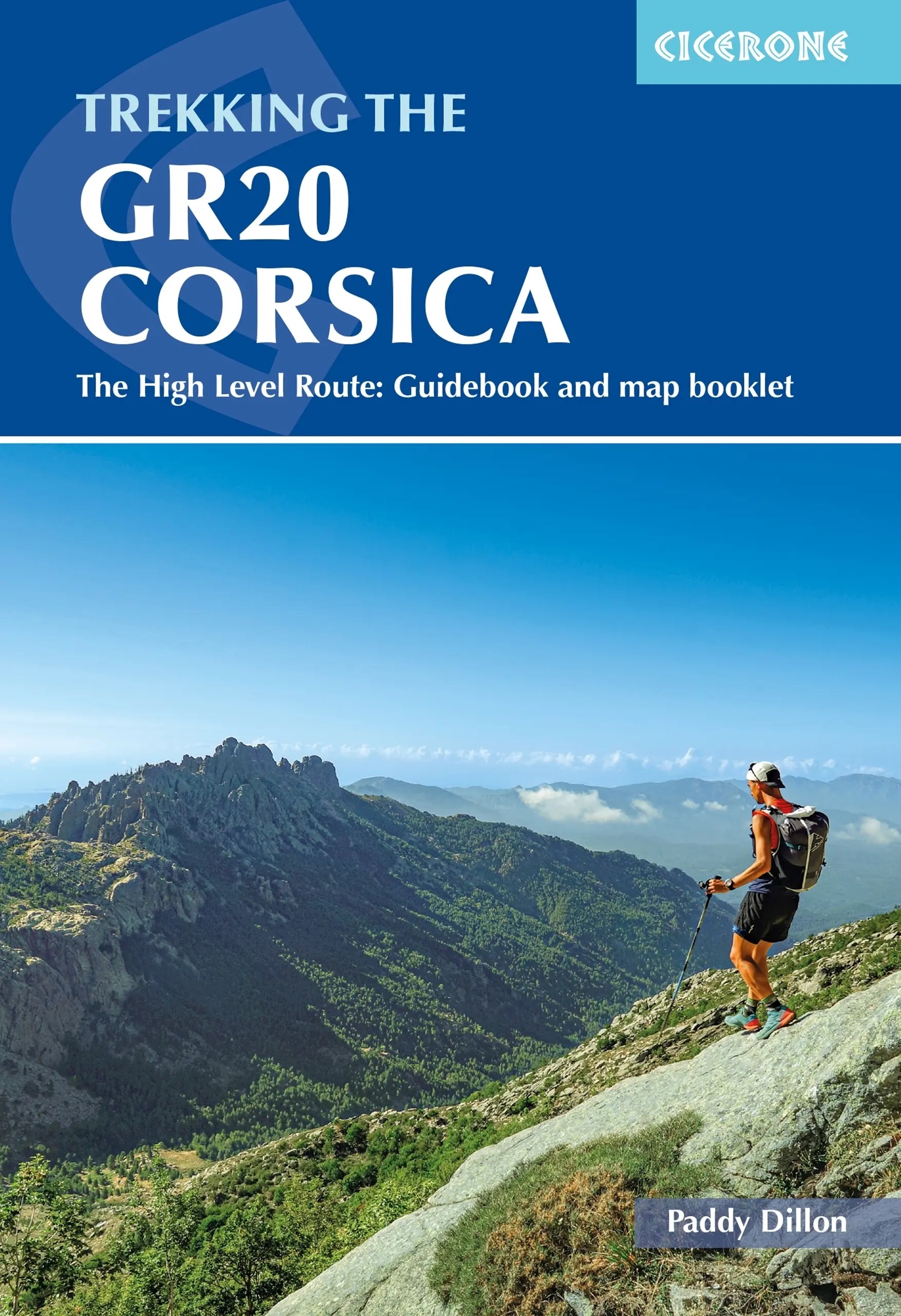
- Trekking the GR20 Corsica: The High Level Route: Guidebook and map booklet
- This guidebook describes the classic GR20 trek, a north-to-south traverse of the rugged mountains of Corsica, renowned as Europe`s toughest GR long-distance route. Described in 16 stages, some with high and low-level alternatives, the route is roughly 190km in length and takes approximately two weeks to complete. The GR20 climbs high into the... Read more
- Also available from:
- The Book Depository, United Kingdom
- De Zwerver, Netherlands

United Kingdom
2022
- Trekking the GR20 Corsica
- The High Level Route: Guidebook and map booklet Read more
Netherlands
2022
- Wandelgids Trekking the GR20 Corsica | Cicerone
- This guidebook describes the classic GR20 trek, a north-to-south traverse of the rugged mountains of Corsica, renowned as Europe`s toughest GR long-distance route. Described in 16 stages, some with high and low-level alternatives, the route is roughly 190km in length and takes approximately two weeks to complete. The GR20 climbs high into the... Read more

- Also available from:
- De Zwerver, Netherlands
Netherlands
2017
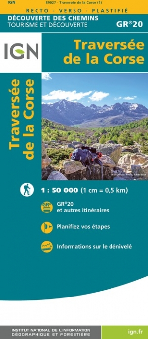
- Wandelkaart Le GR 20 - Corsica | Didier Richard
- GR 20 long-distance walking trail across the mountains of Corsica presented at 1:50,000 on a handy size, contoured and GPS compatible map from Didier Richard with a base derived from IGN Read more
Netherlands
- Kompass WK2250 Corsica Noord
- Deze kaart is ideaal voor het uitstippelen van wandel- en fietsroutes en om onderweg te gebruiken • goed leesbare kaart met heel veel topografische details • duidelijke symbolen maken de kaart extra overzichtelijk • wandel- en fietsroutes zijn aangegeven • praktische informatie over de regio • bruikbaar met GPS • nuttige informatie voor... Read more
- Also available from:
- Bol.com, Belgium
Belgium
- Kompass WK2250 Corsica Noord
- Deze kaart is ideaal voor het uitstippelen van wandel- en fietsroutes en om onderweg te gebruiken • goed leesbare kaart met heel veel topografische details • duidelijke symbolen maken de kaart extra overzichtelijk • wandel- en fietsroutes zijn aangegeven • praktische informatie over de regio • bruikbaar met GPS • nuttige informatie voor... Read more

Netherlands
- Kompass WK2251 Corsica Zuid
- Deze kaart is ideaal voor het uitstippelen van wandel- en fietsroutes en om onderweg te gebruiken • goed leesbare kaart met heel veel topografische details • duidelijke symbolen maken de kaart extra overzichtelijk • wandel- en fietsroutes zijn aangegeven • praktische informatie over de regio • bruikbaar met GPS • nuttige informatie voor... Read more
- Also available from:
- Bol.com, Belgium
Belgium
- Kompass WK2251 Corsica Zuid
- Deze kaart is ideaal voor het uitstippelen van wandel- en fietsroutes en om onderweg te gebruiken • goed leesbare kaart met heel veel topografische details • duidelijke symbolen maken de kaart extra overzichtelijk • wandel- en fietsroutes zijn aangegeven • praktische informatie over de regio • bruikbaar met GPS • nuttige informatie voor... Read more

United Kingdom
2014
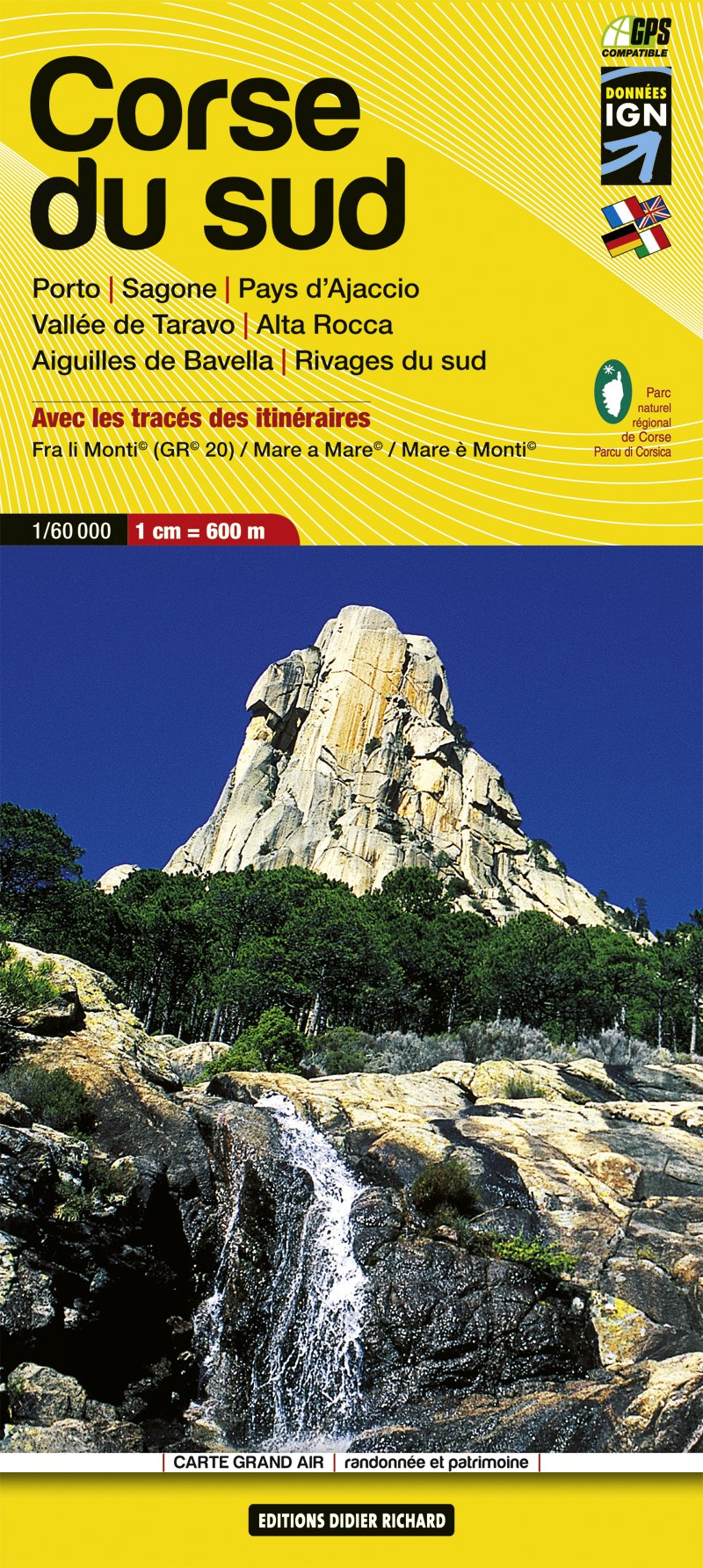
- Corsica South Didier Richard 09
- Southern Corsica at 1:60,000 on a contoured and GPS compatible map from Didier Richard with a base derived from IGN’s topographic survey, highlighting both local walking / hiking routes and the GR network of long-distance paths, gîtes and mountain refuges, interesting natural and cultural sites, etc. The map covers the southern section of the... Read more
- Also available from:
- De Zwerver, Netherlands
Netherlands
2014
- Wandelkaart 09 Corsica zuid - Corse du Sud - Aiguilles de Bavella - Vallée de Taravo - Alta Rocca | Didier Richard
- Southern Corsica at 1:60,000 on a contoured and GPS compatible map from Didier Richard with a base derived from IGN Read more

United Kingdom
2016
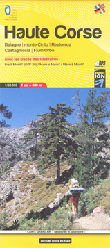
- Corsica North Didier Richard 08
- Northern Corsica at 1:60,000 on a contoured and GPS compatible map from Didier Richard with a base derived from IGN’s topographic survey, highlighting both local walking / hiking routes and the GR network of long-distance paths, gîtes and mountain refuges, interesting natural and cultural sites, etc. The map covers the northern section of the... Read more
- Also available from:
- De Zwerver, Netherlands
Netherlands
2016
- Wandelkaart 08 Haute Corse - Corsica noord - Corse du Nord -Calvi, Corte | Didier Richard
- Northern Corsica at 1:60,000 on a contoured and GPS compatible map from Didier Richard with a base derived from IGN Read more
Netherlands
2016
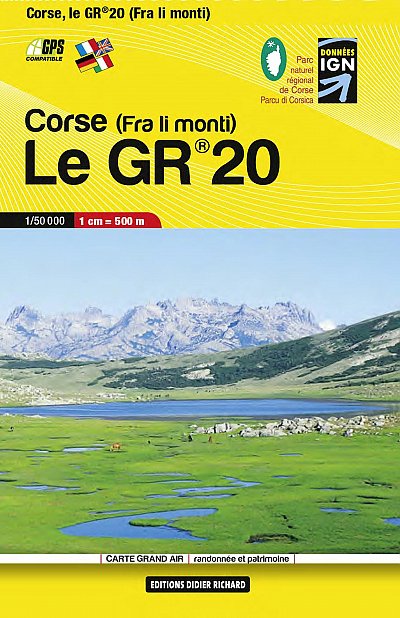
- Corse a travers la montagne GR20
- Des grandes plages de Balagne aux eaux bleues du Valinco, depuis Calenzana (nord-ouest) jusqu?à Conca (sud-est), le GR® 20 épouse le relief montagneux de la Corse et offre au randonneur averti un voyage initiatique au coeur d?une î... Read more
- Also available from:
- Bol.com, Belgium
Belgium
2016
- Corse a travers la montagne GR20
- Des grandes plages de Balagne aux eaux bleues du Valinco, depuis Calenzana (nord-ouest) jusqu?à Conca (sud-est), le GR® 20 épouse le relief montagneux de la Corse et offre au randonneur averti un voyage initiatique au coeur d?une î... Read more
Netherlands
2016
- Corse entre mer et montagne PNR
- Ces six itinéraires vont conduiront d'une côte à l'autre de la Corse (Mare a mare) ou vous feront longer le trait de côte en faisant des incursions dans la montagne toute proche (Mare e Monti). Moins exigeants que le GR&... Read more
- Also available from:
- Bol.com, Belgium
Belgium
2016
- Corse entre mer et montagne PNR
- Ces six itinéraires vont conduiront d'une côte à l'autre de la Corse (Mare a mare) ou vous feront longer le trait de côte en faisant des incursions dans la montagne toute proche (Mare e Monti). Moins exigeants que le GR&... Read more