Kjalvegur
Description
- Name Kjalvegur
- Length of trail 44 km, 27 miles
- Length in days 3 days
- Start of trail Hveravellir
- End of trail Hvitarnes
- Traildino grading MW, Moderate walk, backpacking trail
- Hut tour grading T1, Walk
 Kjalvegur , Hveravellir – Hvítárnes, 44 km, 3 days
To get to know the interior of Iceland, follow this ancient horse-trail across the plateau of Kjölur between the two glaciers of Langjökull in the west and Hofsjökull in the east. A lovely and not too strenuous hike, with nice huts along the way. It crosses open landscapes of wild glacier-eroded plains, and offers magnificent views of surrounding mountain ranges and glimpses of white glaciers shimmering above.
From the south, the trail starts at Hvítárnes hut, which offers breathtaking views of Langjökull glacier entering Hvitarvatn lake. Via Thverbrekknamuli hut the trail takes you to the green valley of Thjofadalir with its cosy hut. The last stretch leads you to Hveravellir, where you can relax in a hot spring bath.
The trail is waymarked, but not always very clear, so bring your compass and a written description and map from Reykjavik. Carry your own sleeping bag and enough food to last a few days. There is a bus stop at about 6 km from Hvítárnes hut, and another one at Hveravelir, so you can walk the trail in either direction.


Links
Facts
Reports
Guides and maps
Lodging
Organisations
Tour operators
GPS
Other
Books
Netherlands
2013
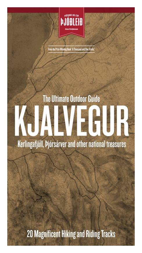
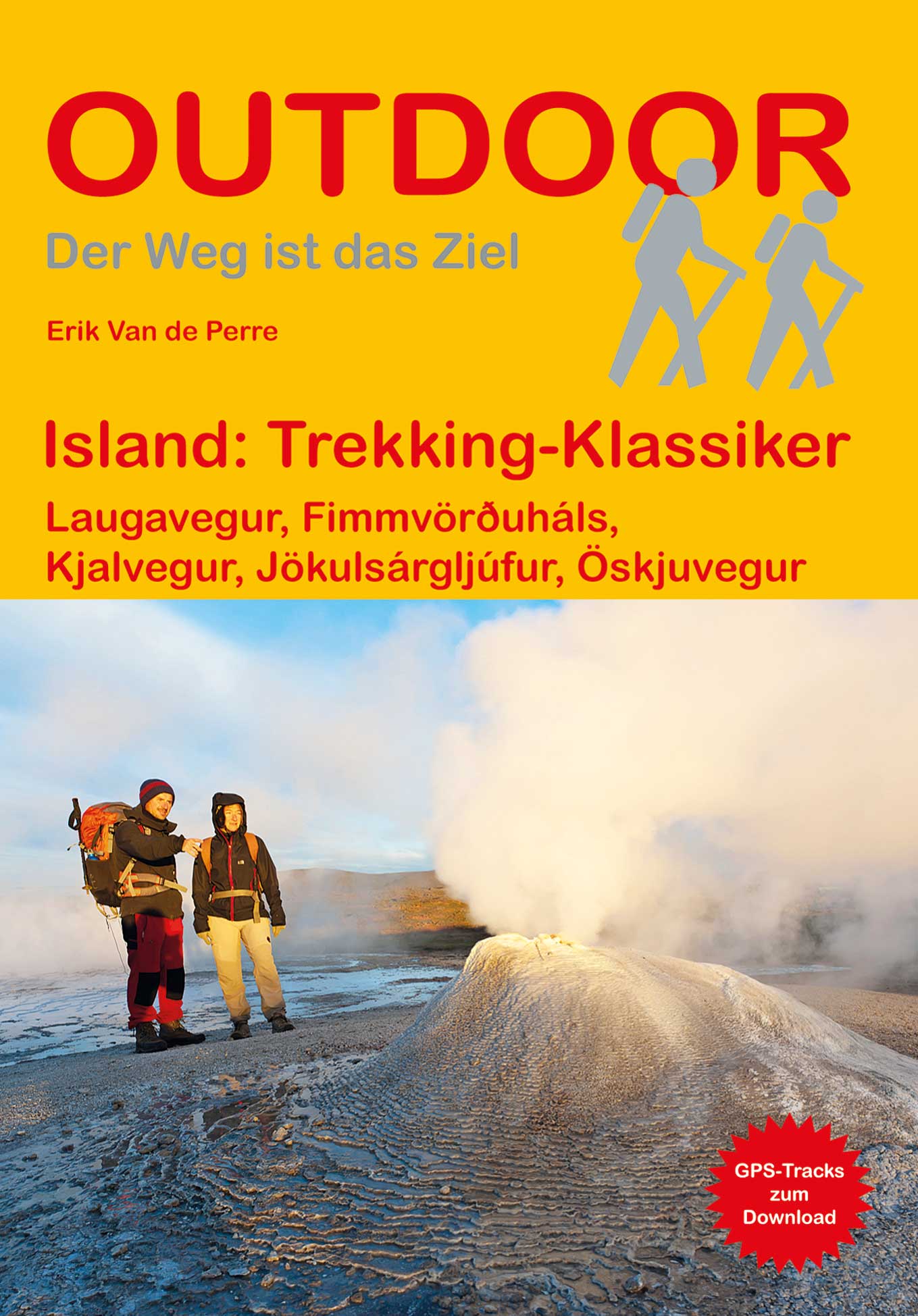
- Island: Trekking Klassiker
- "Island: Trekking-Klassiker" stellt f nf der sehenswertesten Trekkingrouten auf Island vor und liefert alle wichtigen Informationen f r unterwegs. Neben dem bekannten Laugavegur im S den der Insel werden eine Gebirgswanderung ber den Fimmv r uh ls, die Durchquerung des J kuls rglj fur-Nationalparks, eine leichtere Tour durch das westliche... Read more
- Also available from:
- Bol.com, Belgium
- De Zwerver, Netherlands
Belgium
2013
- Island: Trekking Klassiker
- "Island: Trekking-Klassiker" stellt f nf der sehenswertesten Trekkingrouten auf Island vor und liefert alle wichtigen Informationen f r unterwegs. Neben dem bekannten Laugavegur im S den der Insel werden eine Gebirgswanderung ber den Fimmv r uh ls, die Durchquerung des J kuls rglj fur-Nationalparks, eine leichtere Tour durch das westliche... Read more
Netherlands
2019
- Wandelgids Trekking Klassiker Island - IJsland | Conrad Stein Verlag
- Die fünf vorgestellten Routen haben sich als Islands Klassiker etabliert. Der Laugavegur (53 km), der bekannteste Trek Islands, führt von der Hochlandoase Landmannalaugar durch bunte Rhyolithberge und karge Sand- und Lavawüsten in vier Tagesetappen nach Þórsmörk. Tiefe Schluchten, rauschende Wasserfälle und glitzernde Eiszungen prägen die... Read more
Netherlands
2017
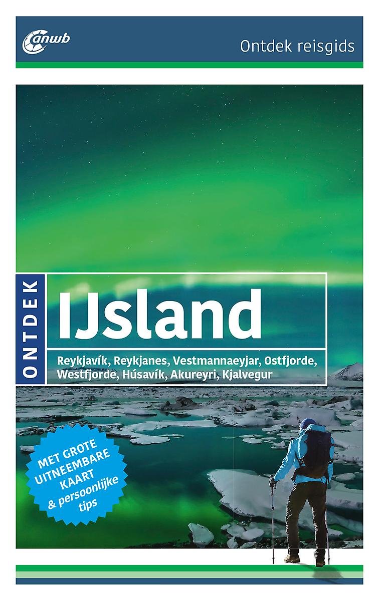
- ANWB Ontdek reisgids - IJsland
- ANWB Ontdek reisgids IJslandVerken IJsland op een andere manier met de uitgebreide ANWB Ontdek reisgids IJsland! Natuurlijk mag je bezienswaardigheden zoals de geisers in Haukadalur en vulkaan Hekla niet missen, maar ga ook eens van de gebaande paden en ga op zoek naar de elfjes in Bakkageroi, wandel over het rode strand Raudasandur of struin... Read more
- Also available from:
- Bol.com, Belgium
Belgium
2017
- ANWB Ontdek reisgids - IJsland
- ANWB Ontdek reisgids IJslandVerken IJsland op een andere manier met de uitgebreide ANWB Ontdek reisgids IJsland! Natuurlijk mag je bezienswaardigheden zoals de geisers in Haukadalur en vulkaan Hekla niet missen, maar ga ook eens van de gebaande paden en ga op zoek naar de elfjes in Bakkageroi, wandel over het rode strand Raudasandur of struin... Read more

United Kingdom
2015
- Iceland, Walking and Trekking - 100 days of walking and multi-day treks
- Walking and Trekking in Iceland from Cicerone Press with 49 day walks and 10 multi-stage treks in various types of terrain including the country’s geothermal areas, presenting both popular classics like the Laugavegur trail and lesser known routes.The walks are grouped geographically to provide a variety of choices in a given area, which is... Read more
- Also available from:
- The Book Depository, United Kingdom
- Bol.com, Netherlands
- Bol.com, Belgium
- De Zwerver, Netherlands

United Kingdom
2015
- Walking and Trekking in Iceland
- 100 days of walking and multi-day treks Read more
Netherlands
2015
- Walking and trekking in Iceland
- This hiking and trekking guidebook offers a total of 49 day hikes and 10 multi-stage treks set right across the magnificent country of Iceland. With three national parks including the mighty Vatnajökull, it is a country of incredible beauty, and its capital, Reykjavík, is an established and easy-to-get-to destination. Including popular, such as... Read more
Belgium
2015
- Walking and trekking in Iceland
- This hiking and trekking guidebook offers a total of 49 day hikes and 10 multi-stage treks set right across the magnificent country of Iceland. With three national parks including the mighty Vatnajökull, it is a country of incredible beauty, and its capital, Reykjavík, is an established and easy-to-get-to destination. Including popular, such as... Read more
Netherlands
2015
- Wandelgids Walking and Trekking in Iceland - IJsland | Cicerone
- This guidebook to walking routes in Iceland offers 49 day walks and 10 multi-stage treks including the classic Laugavegur Trail. The total of 100 days of routes described cater for most abilities, from waymarked walks to challenging glacier crossings. Information on public transport, accommodation, facilities and budget travel tips also included. Read more
Maps

United Kingdom
- Kjalvegur
- Kjalvegur area of Iceland at 1:100,000 in a series of hiking and recreational topographic maps from Sogur Utgafa, with 27 hiking and riding tracks highlighted and described in detail. The map presents detailed picture of the area’s topography, with contours at 20m intervals supplemented by spot heights and relief shading. The colouring... Read more
Netherlands
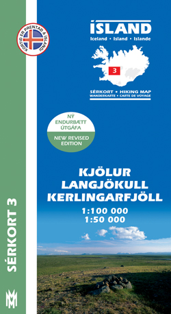
- Wandelkaart 03 Serkort Kjölur - Langjökull - Kerlingrafjöll - IJsland | Mal og Menning
- De wandelkaartenserie van Mal og Menning is bijzonder duidelijk en geschikt voor alle recreatieve doeleinden, ze zijn gebaseerd op de topografische kaarten van IJsland. De kaart laat een gedetailleerd beeld zien van de landschapskenmerken, hoogtelijnen op basis van 20 m. met hoogtepunten apart vermeld. Verschil in kleur en symbolen geven een... Read more