
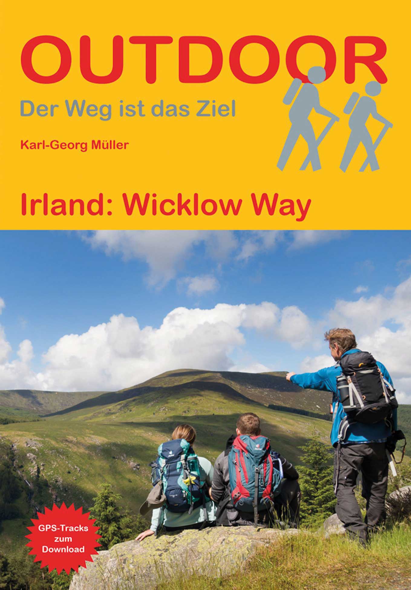
Wicklow Way
Description
- Name Wicklow Way (WW)
- Length of trail 129 km, 80 miles
- Length in days 6 days
- Start of trail Marley Park, Rathfarnham in South Dublin
- End of trail Clonegal
- Traildino grading MW, Moderate walk, backpacking trail
- Hut tour grading T1, Walk


Wicklow Way, Dublin - Clonegal, 129 km, 6 days
The Wicklow mountains run southward from Dublin into county Wexford. Starting as desolate heath- and moorland, rising up to 900 m, they gradually become more gentle. On a clear day one will have good views over the patched farmland below and the Irish Sea beyond. In many places, the hills have been replanted with conifers, which may be regarded as dull, but the new forests create their own atmosphere. Still further south, the woods give way to farmland.
Glendalough monastery, a historic highlight, is right on the trail. Be very early to fully enjoy it's mystical graveyard.
Clonegal is the end of the Wicklow Way, but not the end of the Wicklow Mountains. The South Leinster Way is the next path in the queue, and actually you can follow long distance trails all the way to Kerry and the Atlantic. We are speaking of the E8 and the Irish Coast to Coast Walk.
The Wicklow Way is Ireland's first long distance path and continues to be popular, facilitated of course by the proximity of the countries capital, Dublin. In the hills, accommodation is scarce, however, and you may prefer to carry a tent or book accommodation timely. When booking via a travel agency, ask them to arrange to pick you up from the trail and bring you back next day. The path is easy. The frequent use of forest roads is a bit boring. The southern part uses small roads in many places. The waymarking is excellent, and guides and maps are sold in the Dublin bookstores.
Links
Facts
Reports
Guides and maps
Lodging
Organisations
Tour operators
GPS
Other
Books

United Kingdom
- Wicklow South OSI Adventure Map
- Among the rivers on this map are the Ow River, the Aughrim River, the Avoca River, the Derreen River and the Derry River. This map shows the historic site of Avondale House and Forest Park. The Wicklow Way continues down through the map. Among the many trails, loops and walks marked on this map are Avondale Trails, Avoca Red Kite Trails, Sean... Read more

United Kingdom
2021
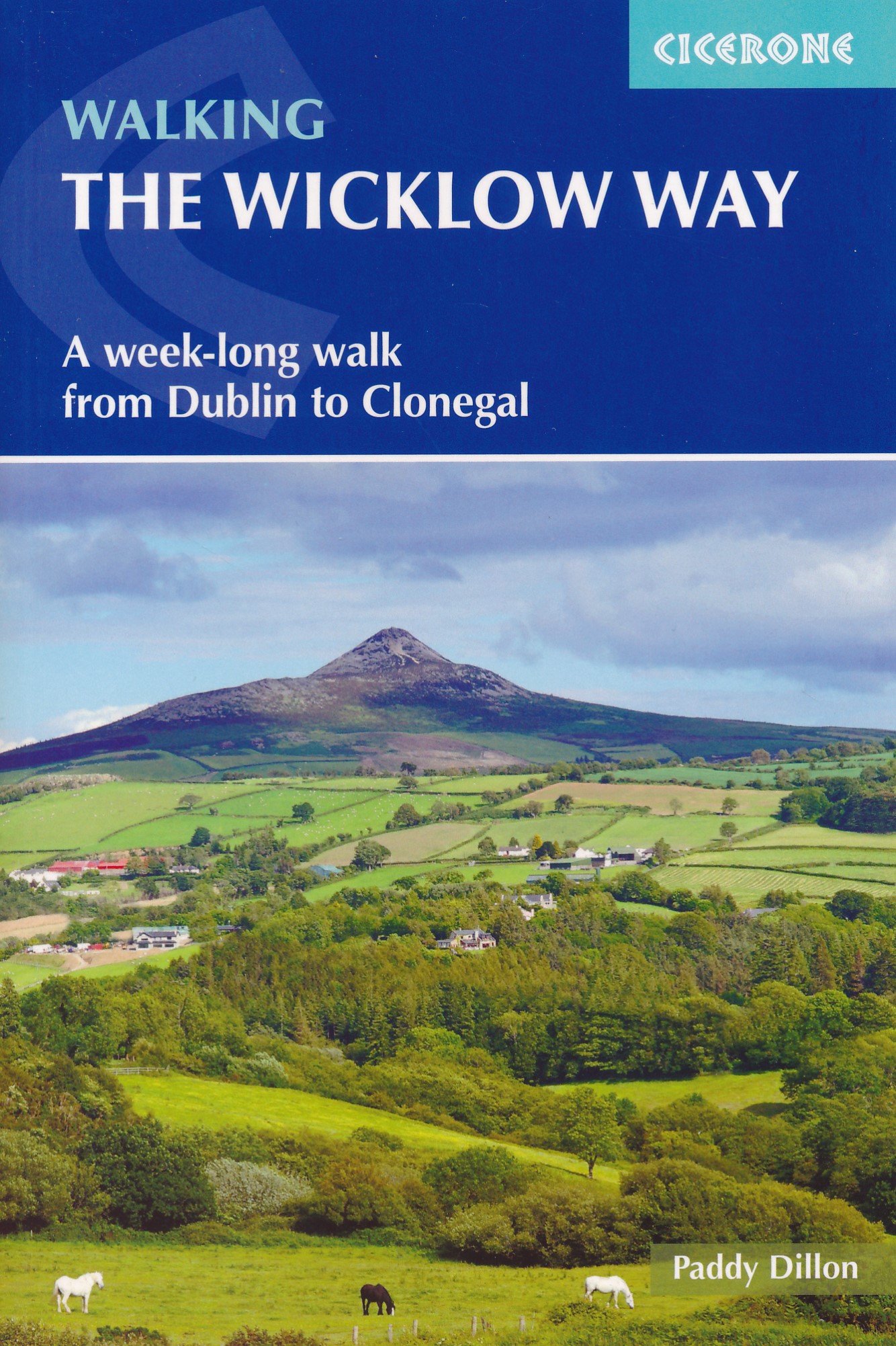
- Walking the Wicklow Way
- A week-long walk from Dublin to Clonegal Read more
- Also available from:
- De Zwerver, Netherlands
Netherlands
2021
- Wandelgids Walking the Wicklow Way | Cicerone
- A week-long walk from Dublin to Clonegal Read more

- Also available from:
- De Zwerver, Netherlands
Netherlands
2011
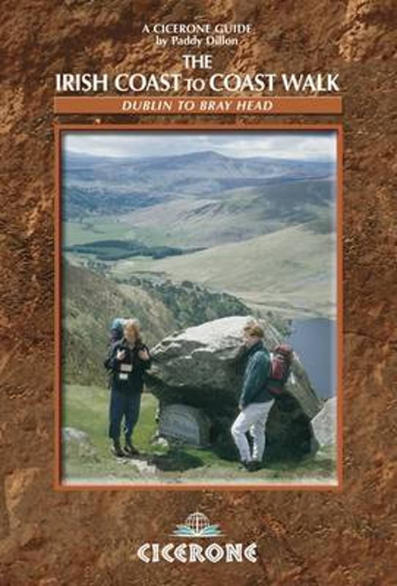
- The Irish Coast To Coast Walk
- The Coast to Coast route through Ireland, from Dublin to the Atlantic coast, passes through glorious mountain and river country, and offers an opportunity to discover the heart of the Emerald Isle. The walk links several waymarked routes - the Wicklow Way, South Leinster Way, East Munster Way, Blackwater Way and the Kerry Way. Whether you... Read more
- Also available from:
- Bol.com, Belgium
Belgium
2011
- The Irish Coast To Coast Walk
- The Coast to Coast route through Ireland, from Dublin to the Atlantic coast, passes through glorious mountain and river country, and offers an opportunity to discover the heart of the Emerald Isle. The walk links several waymarked routes - the Wicklow Way, South Leinster Way, East Munster Way, Blackwater Way and the Kerry Way. Whether you... Read more
Netherlands
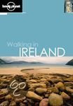
- Lonely Planet Ireland Walking Guide
- Gentle mountains, rugged ridges, wild moorlands, spectacular sea cliffs, remote islands, warm hospitality and the infamous Irish weather - all are part of the wonderful experience that is walking in Ireland. So pack your boots, grab this guide and go 85 detailed walk descriptions in the Republic and Northern Ireland. Comprehensive coverage of... Read more
- Also available from:
- Bol.com, Belgium
Belgium
- Lonely Planet Ireland Walking Guide
- Gentle mountains, rugged ridges, wild moorlands, spectacular sea cliffs, remote islands, warm hospitality and the infamous Irish weather - all are part of the wonderful experience that is walking in Ireland. So pack your boots, grab this guide and go 85 detailed walk descriptions in the Republic and Northern Ireland. Comprehensive coverage of... Read more
Maps

United Kingdom
- Dublin Mountains (25K)
- Dublin Mountains at 1:25,000 on a double-sided, detailed, GPS compatible map from EastWest Mapping, printed on light, waterproof and tear-resistant paper. Contours at 10m intervals are enhanced by altitude colouring and graphics showing scree, peat bogs, marshland, gorse, different types of woodlands, cultivated areas, etc.The map shows the... Read more