
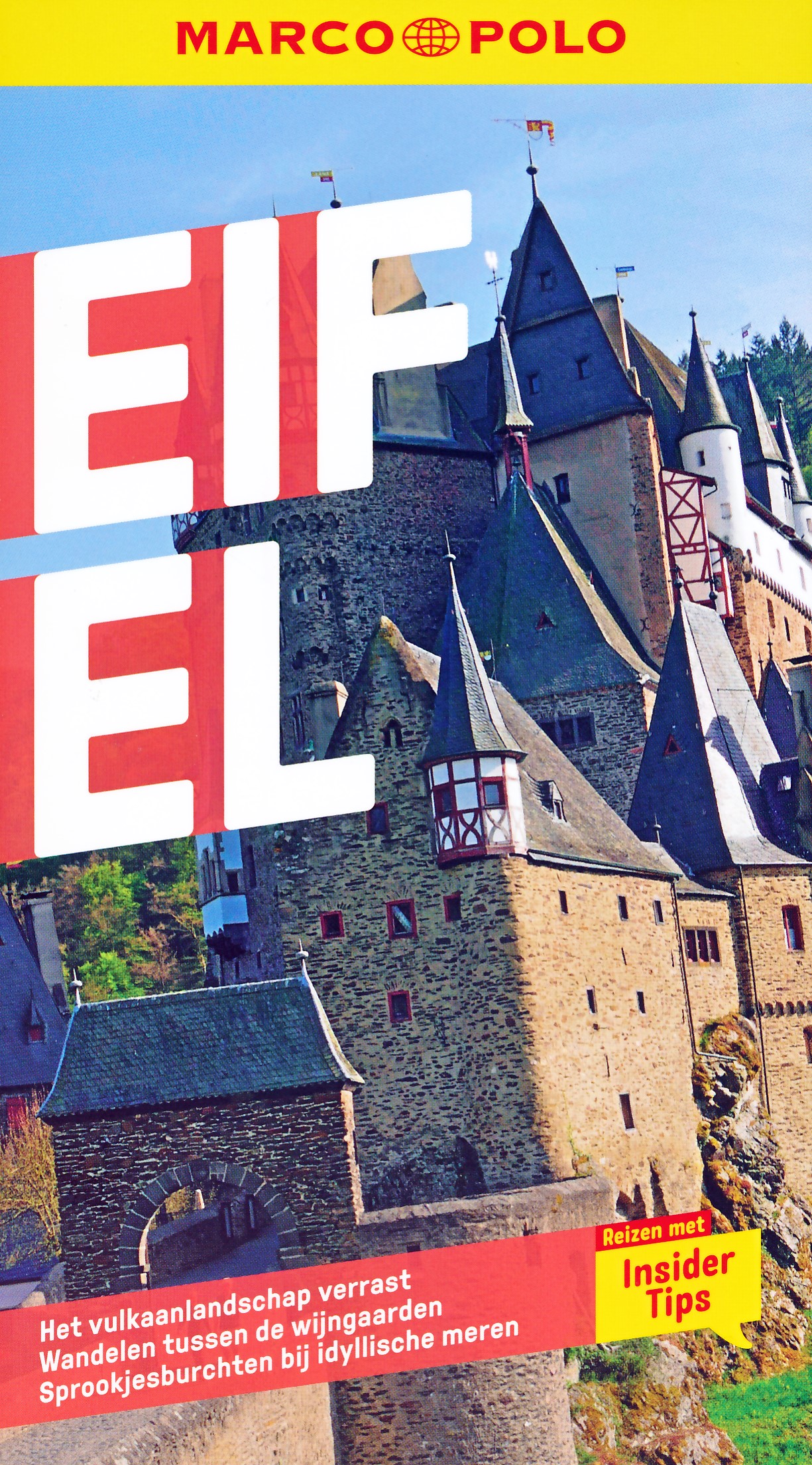
Eifel
Description
Low mountain range in Germany, states of Rheinland-Pfalz and Nordrhein-Westfalen. Small parts extending into Luxembourg and Belgium.
Trails in this region
- Ahr-Venn-WegGPX
- AhrtalwegGPX
- E3GPX
- EifelsteigGPX
- Erft-Lieser-Mosel-Weg GPX
- GR15 - AE - Ardennes-EifelGPX
- GR5GPX
- GR56 - Hautes Fagnes - EifelGPX
- Josef-Schramm-Weg GPX
- Karl-Kaufmann-WegGPX
- KarolingerwegGPX
- KrönungswegGPX
- LieserpfadGPX
- MatthiaswegGPX
- MoselhöhenwegGPX
- MoselsteigGPX
- Rhein-Kyll-WegGPX
- Rhein-Rureifel-Weg GPX
- RheinhöhenwegGPX
- Rhine-Meuse Trail
- Rotwein WanderwegGPX
- VulkanwegGPX
- Wanderweg der Deutschen EinheitGPX
- Wildnis TrailGPX
- WillibrorduswegGPX
Links
Facts
Reports
Guides and maps
Lodging
Organisations
Tour operators
GPS
Other
Books

Stanfords
United Kingdom
United Kingdom
- Eifel West - Schneifel 35K Kümmerly + Frey Map No. 34
- Eifel West - Schneifel area of the Rhineland at 1:35,000 from Kümmerly+Frey in a series GPS compatible, double-sided maps printed on durable, waterproof and tear-resistant plastic paper; contoured, with hiking and cycle routes, other recreational activities, etc. Coverage includes Goslar and Wernigerode.Maps in this series are at a scale of... Read more

- Also available from:
- De Zwerver, Netherlands

De Zwerver
Netherlands
2021
Netherlands
2021

The Book Depository
United Kingdom
2022
United Kingdom
2022
- Also available from:
- De Zwerver, Netherlands


The Book Depository
United Kingdom
2018
United Kingdom
2018
- The GR5 Trail - Benelux and Lorraine
- The North Sea to Schirmeck in the Vosges mountains Read more
- Also available from:
- De Zwerver, Netherlands

De Zwerver
Netherlands
2018
Netherlands
2018
- Wandelgids The GR5 Trail Benelux and Lorraine | Cicerone
- Guidebook to walking the northern section of the GR5 - 1000km starting in Hoek van Holland and passing through the Netherlands, Belgium, Luxembourg and Lorraine to Schirmeck in France. A long-distance route covering a variety of cultures and landscapes. The full GR5 from the North Sea to the Mediterranean is one of the world's greatest trails. Read more


- Also available from:
- De Zwerver, Netherlands
De Zwerver
Netherlands
2021
Netherlands
2021

De Zwerver
Netherlands
2021
Netherlands
2021
De Zwerver
Netherlands
2012
Netherlands
2012
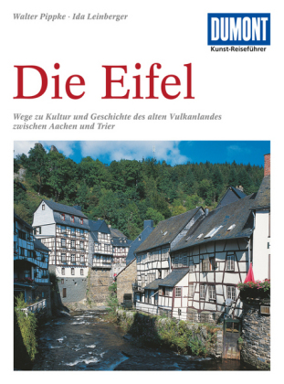
- Reisgids Kunstreiseführer Die Eifel | Dumont
- Obwohl zwischen den berühmten Kaiserstädten Trier und Aachen gelegen, ist die Eifel für viele noch immer wie ein weißer Fleck auf der touristischen Landkarte - sieht man einmal vom Nürburgring ab. Trotz ihrer Blütezeit in Antike und Mittelalter (die Eifel war bereits von den Römern besiedelt), trotz ihrer Berühmtheit unter den Geologen (hier... Read more

De Zwerver
Netherlands
2022
Netherlands
2022
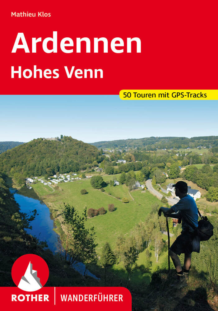
- Wandelgids Ardennen | Rother Bergverlag
- uitstalige wandelgids met zeer goed beschreven wandelingen in de genoemde gebieden. Redelijk kaartmateriaal, vooral de beschrijving van de route en de praktische info die er bij hoort is meer dan goed. Mit den Ardennen und und dem Hohen Venn verfügt Belgien über zwei Mittelgebirge, die noch nahezu unbekannt sind. Die letzten Hochmoore und... Read more

De Zwerver
Netherlands
2021
Netherlands
2021
De Zwerver
Netherlands
2024
Netherlands
2024
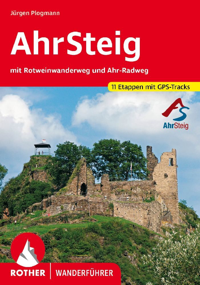
- Wandelgids AhrSteig | Rother Bergverlag
- Mit Rotweinwanderweg und Ahr-Radweg. 35 Touren. Mit GPS-Daten Read more
Bol.com
Netherlands
Netherlands
- Eifel Mehrtagestouren
- Das wilde Kylltal, die waldgrüne Karsteifel mit dem riesigen Radioteleskop auf dem Effelsberg, die Sauertalschleife, der liebliche Lieserpfad, durchs Hohe Venn auf Belgiens höchsten Berg (694 m), der Eifelstieg einmal anders, ein Gipfelsturm auf die Hohe Acht, Tour d'europe nach Luxemburg hinein, der Rotweinwanderweg auf unbekannten Umwegen und... Read more
- Also available from:
- Bol.com, Belgium
Bol.com
Belgium
Belgium
- Eifel Mehrtagestouren
- Das wilde Kylltal, die waldgrüne Karsteifel mit dem riesigen Radioteleskop auf dem Effelsberg, die Sauertalschleife, der liebliche Lieserpfad, durchs Hohe Venn auf Belgiens höchsten Berg (694 m), der Eifelstieg einmal anders, ein Gipfelsturm auf die Hohe Acht, Tour d'europe nach Luxemburg hinein, der Rotweinwanderweg auf unbekannten Umwegen und... Read more
Bol.com
Netherlands
Netherlands
- ANWB Extra Eifel Moezel actief / Eifel, Moezel
- Wandelingen, Fietstochten en Autoroutes. Op een actieve manier de leukste plekjes ontdekken kan met deze ANWB Actief gids.ANWB Actief is d reisgids voor actieve vakantiegangers. De gids is bedoeld voor reizigers die naar de Eifel of Moezel op vakantie gaan en ter plekke een aantal dagtochten willen maken om de omgeving te verkennen. Dat kan... Read more
- Also available from:
- Bol.com, Belgium
Bol.com
Belgium
Belgium
- ANWB Extra Eifel Moezel actief / Eifel, Moezel
- Wandelingen, Fietstochten en Autoroutes. Op een actieve manier de leukste plekjes ontdekken kan met deze ANWB Actief gids.ANWB Actief is d reisgids voor actieve vakantiegangers. De gids is bedoeld voor reizigers die naar de Eifel of Moezel op vakantie gaan en ter plekke een aantal dagtochten willen maken om de omgeving te verkennen. Dat kan... Read more
Maps

Stanfords
United Kingdom
United Kingdom
- Luxembourg South
- One of two topographic survey maps of Luxembourg at 1:50,000, with contours at 10-metres intervals and additional relief shading. An overprint highlights long-distance footpaths, including the GR5 (E-2), cycle routes, and various places of interest, including campsites. The map covers an area of approximately 53 x 43 km / 33 x 27 miles. Map... Read more
Stanfords
United Kingdom
United Kingdom
- Aywaille - Spa NGI Belgium Survey Map No. 49/3-4
- Topographical survey of Belgium at 1:20,000 from Nationaal Geografisch Instituut / Institut Géographique National, the country’s national survey organization. Each 20K map covers one quarter of the corresponding 1:50,000 map (with adjustments in the border and coastal areas). The maps provide all the information expected of topographic mapping... Read more

Stanfords
United Kingdom
United Kingdom
- Lower Moselle - Cochem to Koblenz - Mayen - Burg Eitz K+F Outdoor Map 21
- The Lower Moselle Valley between Cochem and Koblenz at 1:35,000 from Kümmerly+Frey in a series GPS compatible, double-sided maps printed on durable, waterproof and tear-resistant plastic paper; contoured, with hiking and cycle routes, other recreational activities, etc.Maps in this series are at a scale of either 1:50,000 or 1:35,000. Contour... Read more

Stanfords
United Kingdom
United Kingdom
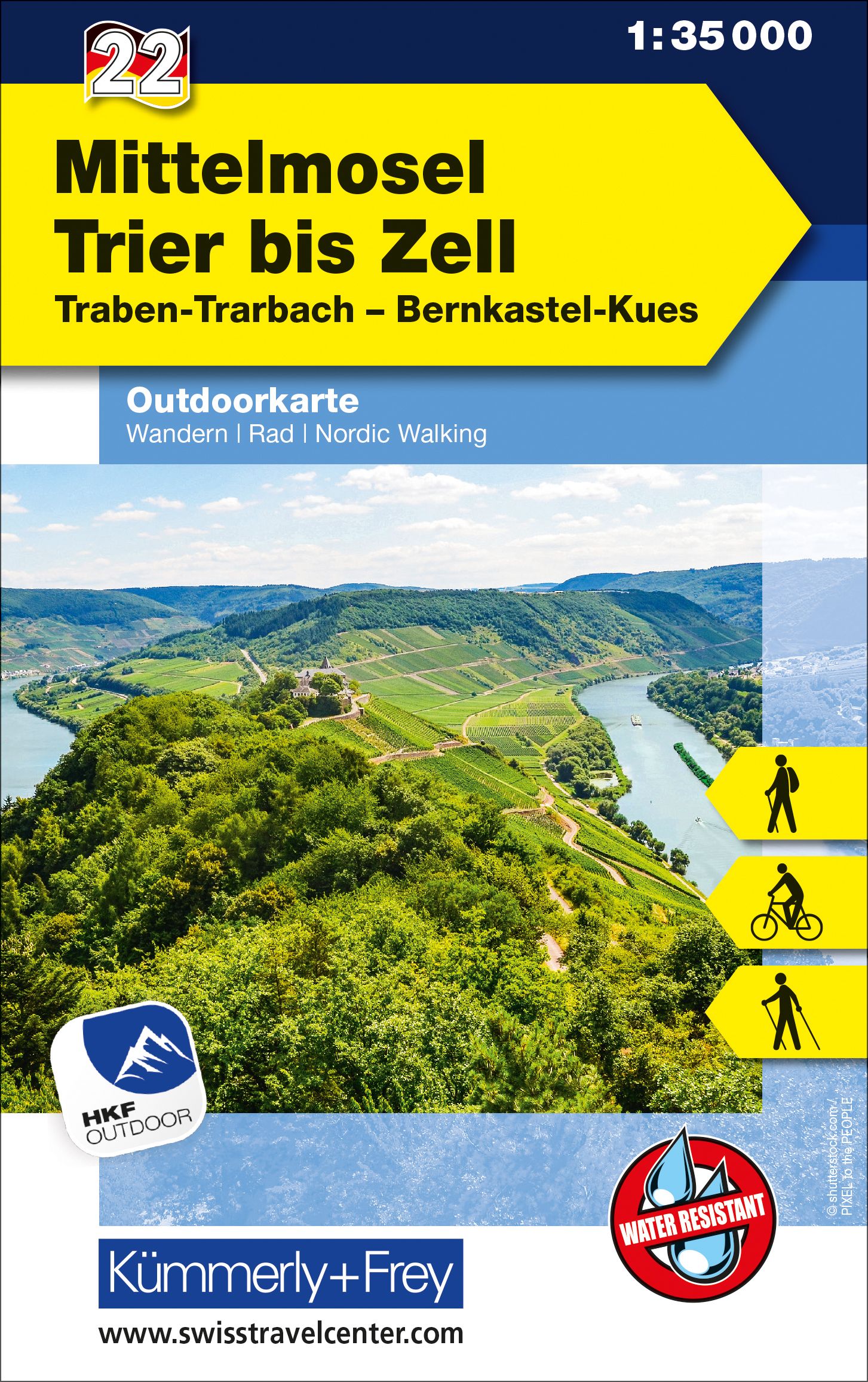
- Central Moselle Valley - Trier to Zell K+F Outdoor Map 22
- The central Moselle Valley between Trier and Zell at 1:35,000 from Kümmerly+Frey in a series GPS compatible, double-sided maps printed on durable, waterproof and tear-resistant plastic paper; contoured, with hiking and cycle routes, other recreational activities, etc.Maps in this series are at a scale of either 1:50,000 or 1:35,000. Contour... Read more

Stanfords
United Kingdom
United Kingdom
- Autour du Thabor: Modane - Bardonecchia - Briançon
- Mont Thabor area at 1:50,000 on a contoured and GPS compatible map from Editions Didier Richard in their series of walking maps of French Alps and other popular hiking regions of south-eastern France. Coverage extends from Modane in the north to Briançon in the south-east, and west to Valloire.The base map with cartography from the IGN has... Read more

Stanfords
United Kingdom
United Kingdom
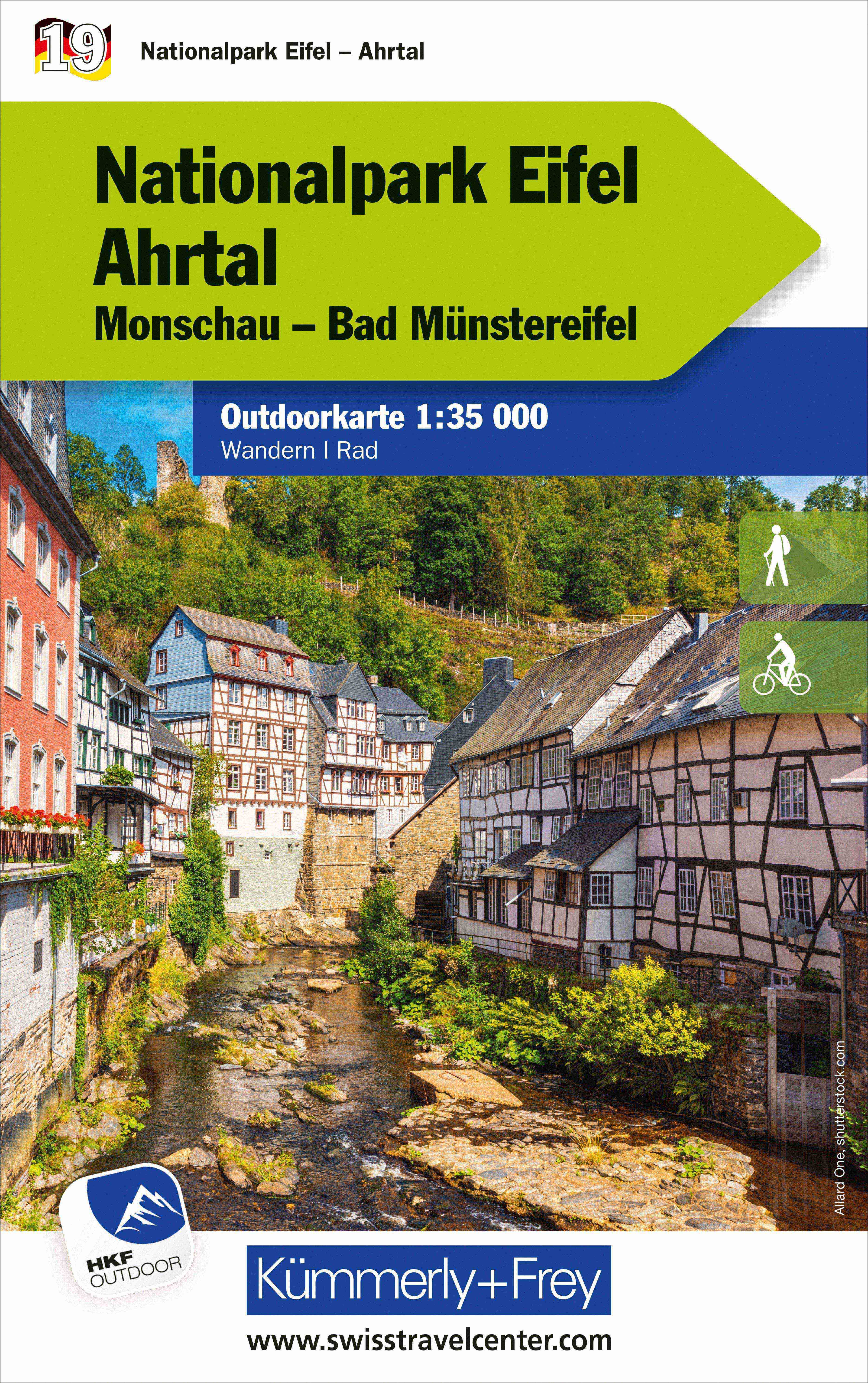
- Eifel National Park - Ahrtal K+F Outdoor Map 19
- Eifel National Park - Ahrtal area of the Rhineland at 1:35,000 from Kümmerly+Frey in a series GPS compatible, double-sided maps printed on durable, waterproof and tear-resistant plastic paper; contoured, with hiking and cycle routes, other recreational activities, etc. Coverage includes Goslar and Wernigerode.Maps in this series are at a scale... Read more

Stanfords
United Kingdom
United Kingdom
- Alsace - Mulhouse - Basel - Altkirch K+F Outdoor Map 2
- The southern part of Alsace around Mulhouse and Guebwiller on a GPS compatible, double-sided map at 1:50,000 from Kümmerly+Frey printed on sturdy, waterproof and tear-resistant synthetic paper; contoured, with hiking and cycling routes, sites for other recreational activities, various accommodation options, restaurants and ferme-auberge... Read more

Stanfords
United Kingdom
United Kingdom
- Nice - Menton - PN du Mercantour IGN TOP100 165
- Discover the new double-sided laminated edition of TOP100 road maps of France from the Institut Géographique National (IGN); exceptionally detailed, contoured road maps which include the cycle paths and greenways of the AF3V (French Association for the Development of Cycle Paths and Greenways), ideal for exploring the French countryside by car,... Read more

Stanfords
United Kingdom
United Kingdom
- Luxembourg North
- One of two topographic survey maps of Luxembourg at 1:50,000, with contours at 10-metres intervals and additional relief shading. An overprint highlights long-distance footpaths, including the GR5 (E-2), cycle routes, and various places of interest, including campsites. The map covers an area of approximately 53 x 43 km / 33 x 27 miles. Map... Read more

- Also available from:
- De Zwerver, Netherlands
Stanfords
United Kingdom
2021
United Kingdom
2021
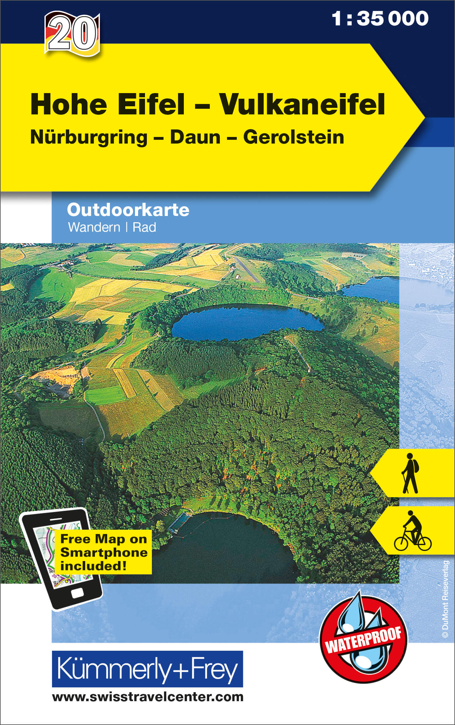
- High Eifel - Vulkaneifel - Nürburgring - Daun - Gerolstein K+F Outdoor Map 20
- High Eifel - Vulkaneifel region of the Rhineland at 1:35,000 from Kümmerly+Frey in a series GPS compatible, double-sided maps printed on durable, waterproof and tear-resistant plastic paper; contoured, with hiking and cycle routes, other recreational activities, etc.Maps in this series are at a scale of either 1:50,000 or 1:35,000. Contour... Read more
- Also available from:
- The Book Depository, United Kingdom
- De Zwerver, Netherlands

De Zwerver
Netherlands
2021
Netherlands
2021

- Also available from:
- De Zwerver, Netherlands

De Zwerver
Netherlands
Netherlands
- Wandelkaart 30 Mosel | Eifelverein
- Wandelkaart van een deelgebied van de Eifel. Deze kaarten worden uitgegeven door de zeer actieve Eifelverein. Deze vereniging houdt zich onder andere bezig met de wandelroutes in het gebied: op bijna elke boom in de Eifel vind je wel een teken! De kaarten zijn nauwkeurig en gedetaileerd, met ingetekende wandelroutes maar ook symbolen voor... Read more


De Zwerver
Netherlands
Netherlands
- Wandelkaart 6 Pirin gebergte | Domino
- Pirin Mountains at 1:50,000 on a large, double-sided, contoured map with GPS waypoints for shelters and chalets, peaks, etc. and highlighting hiking routes. Topography is shown by contours at 40m intervals with additional relief shading and graphics and colouring for sandstone stacks, single rocks over 5m high, marshlands and different types of... Read more