Flevoland
Description
Map

Trails in this state
Links
Facts
Reports
Guides and maps
Lodging
Organisations
Tour operators
GPS
Other
Books
- Also available from:
- Bol.com, Belgium

Bol.com
Netherlands
Netherlands
- Rick Steves Amsterdam & the Netherlands, 2nd Edition
- **Bike through cobblestone streets, cruise charming canals, and stop and smell the tulips: with Rick Steves on your side, the Netherlands can be yours!Inside Rick Steves Amsterdam & the Netherlands you'll find:**Comprehensive coverage for spending a week or more exploring Amsterdam and the NetherlandsRick's strategic advice on how to get the... Read more
- Also available from:
- Bol.com, Belgium
Bol.com
Belgium
Belgium
- Rick Steves Amsterdam & the Netherlands, 2nd Edition
- **Bike through cobblestone streets, cruise charming canals, and stop and smell the tulips: with Rick Steves on your side, the Netherlands can be yours!Inside Rick Steves Amsterdam & the Netherlands you'll find:**Comprehensive coverage for spending a week or more exploring Amsterdam and the NetherlandsRick's strategic advice on how to get the... Read more
De Zwerver
Netherlands
2014
Netherlands
2014
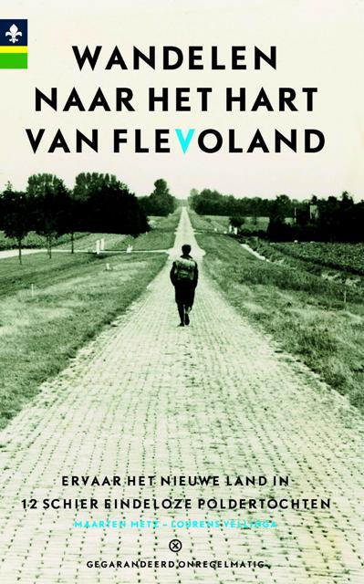
- Wandelgids Wandelen naar het hart van Flevoland | Gegarandeerd Onregelmatig
- Maarten Metz en Lourens Vellinga kunnen het weten. Al meer dan 20 jaar wandelen zij jaarlijks een aantal keren door Flevoland. Zij worden op hun uitstapjes naar het Nieuwe Land stevast vergezeld door een grote schare trouwe meelopers. Wandelen door Flevoland is afwisselend: de planmatige, strakke en consequente inrichting van het landschap... Read more
Maps

Stanfords
United Kingdom
United Kingdom
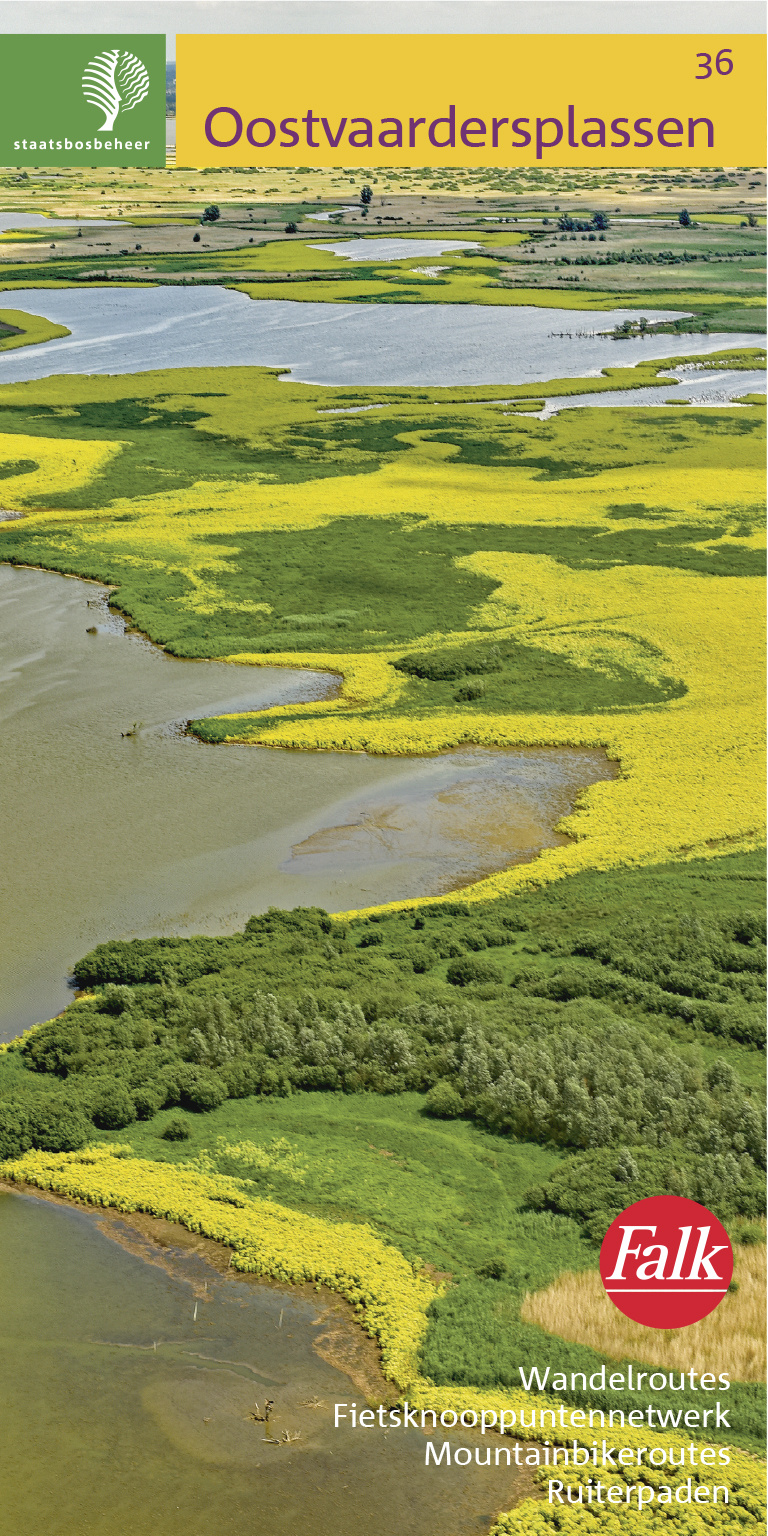
- Oostvaardersplassen
- Oostvaardersplassen area of the Netherlands in a series of walking and cycling maps at 1:25,000 – 1:35,000, published by Falk BV in cooperation with Staatsbosbeheer – Dutch government’s organization for forestry and the management of nature reserves.Colouring indicates different types of vegetation or terrain: woodland, pastures, heath or sand... Read more

Stanfords
United Kingdom
2010
United Kingdom
2010
- The IJssel
- The Ijssel is the first of a series two recreational maps for the Flevoland region.These maps were created to celebrate the 25th anniversary of the province of Flevoland. They are double-sided indexed maps at 1:50,000 scale, featuring a detailed topography with prominent highlighting of the cycle routes and packed with practical tourist... Read more

De Zwerver
Netherlands
Netherlands
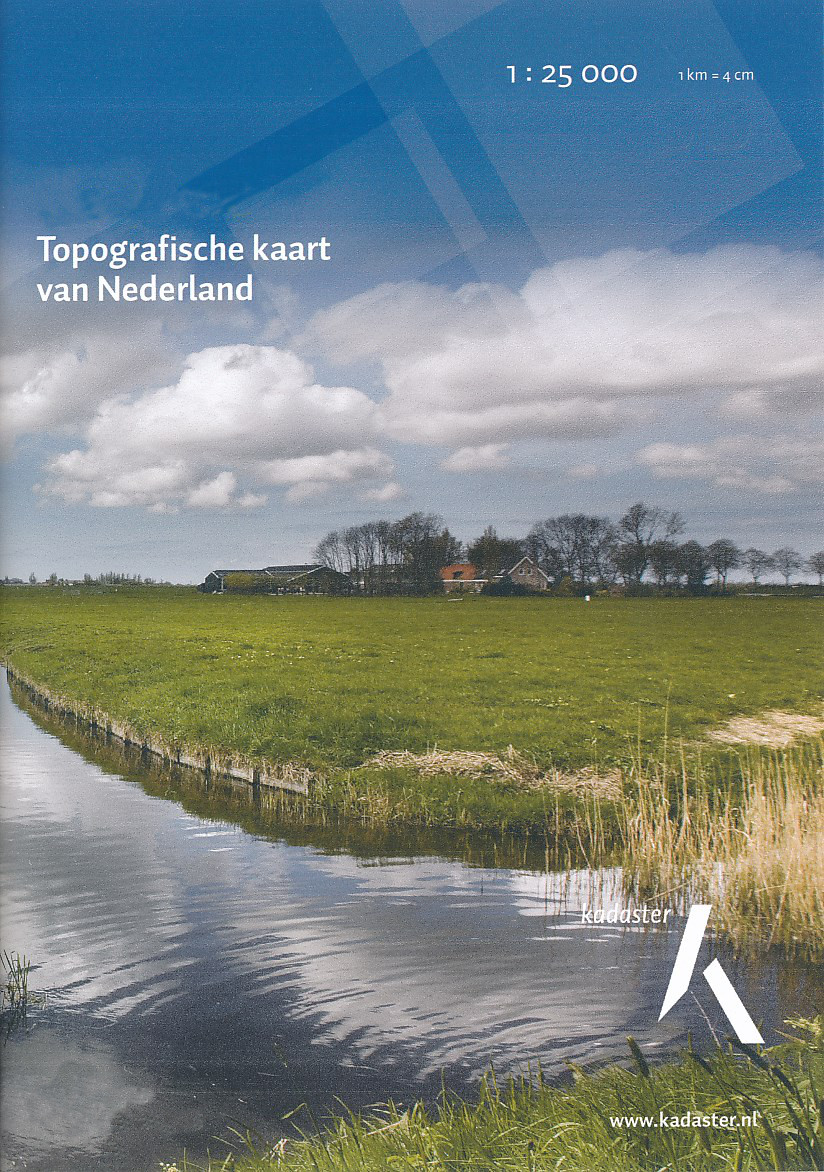
- Topografische kaart - Wandelkaart 20G Lelystad Oost | Kadaster
- De meest gedetailleerde kaart die via de verkoopkanalen verkrijgbaar is. Gemaakt door de Nederlandse Topografische dienst bevat deze kaart alle topografische elementen van het landschap en geeft daarmee een nauwkeurig beeld van het terrein. De meeste kaarten hebben een kaartbeeld dat overeenkomt met 12,5 x 10 kilometer in werkelijkheid. Naast... Read more
De Zwerver
Netherlands
2020
Netherlands
2020

De Zwerver
Netherlands
Netherlands
- Topografische kaart - Wandelkaart 26D Flevoland - zuid | Kadaster
- De meest gedetailleerde kaart die via de verkoopkanalen verkrijgbaar is. Gemaakt door de Nederlandse Topografische dienst bevat deze kaart alle topografische elementen van het landschap en geeft daarmee een nauwkeurig beeld van het terrein. De meeste kaarten hebben een kaartbeeld dat overeenkomt met 12,5 x 10 kilometer in werkelijkheid. Naast... Read more

De Zwerver
Netherlands
Netherlands
- Topografische kaart - Wandelkaart 25F Monnickendam - Monnikendam | Kadaster
- De meest gedetailleerde kaart die via de verkoopkanalen verkrijgbaar is. Gemaakt door de Nederlandse Topografische dienst bevat deze kaart alle topografische elementen van het landschap en geeft daarmee een nauwkeurig beeld van het terrein. De meeste kaarten hebben een kaartbeeld dat overeenkomt met 12,5 x 10 kilometer in werkelijkheid. Naast... Read more

De Zwerver
Netherlands
Netherlands
- Topografische kaart - Wandelkaart 20H Dronten | Kadaster
- De meest gedetailleerde kaart die via de verkoopkanalen verkrijgbaar is. Gemaakt door de Nederlandse Topografische dienst bevat deze kaart alle topografische elementen van het landschap en geeft daarmee een nauwkeurig beeld van het terrein. De meeste kaarten hebben een kaartbeeld dat overeenkomt met 12,5 x 10 kilometer in werkelijkheid. Naast... Read more

De Zwerver
Netherlands
Netherlands
- Topografische kaart - Wandelkaart 25H Bussum | Kadaster
- De meest gedetailleerde kaart die via de verkoopkanalen verkrijgbaar is. Gemaakt door de Nederlandse Topografische dienst bevat deze kaart alle topografische elementen van het landschap en geeft daarmee een nauwkeurig beeld van het terrein. De meeste kaarten hebben een kaartbeeld dat overeenkomt met 12,5 x 10 kilometer in werkelijkheid. Naast... Read more

De Zwerver
Netherlands
Netherlands
- Topografische kaart - Wandelkaart 20D Lelystad West | Kadaster
- De meest gedetailleerde kaart die via de verkoopkanalen verkrijgbaar is. Gemaakt door de Nederlandse Topografische dienst bevat deze kaart alle topografische elementen van het landschap en geeft daarmee een nauwkeurig beeld van het terrein. De meeste kaarten hebben een kaartbeeld dat overeenkomt met 12,5 x 10 kilometer in werkelijkheid. Naast... Read more

Stanfords
United Kingdom
2021
United Kingdom
2021
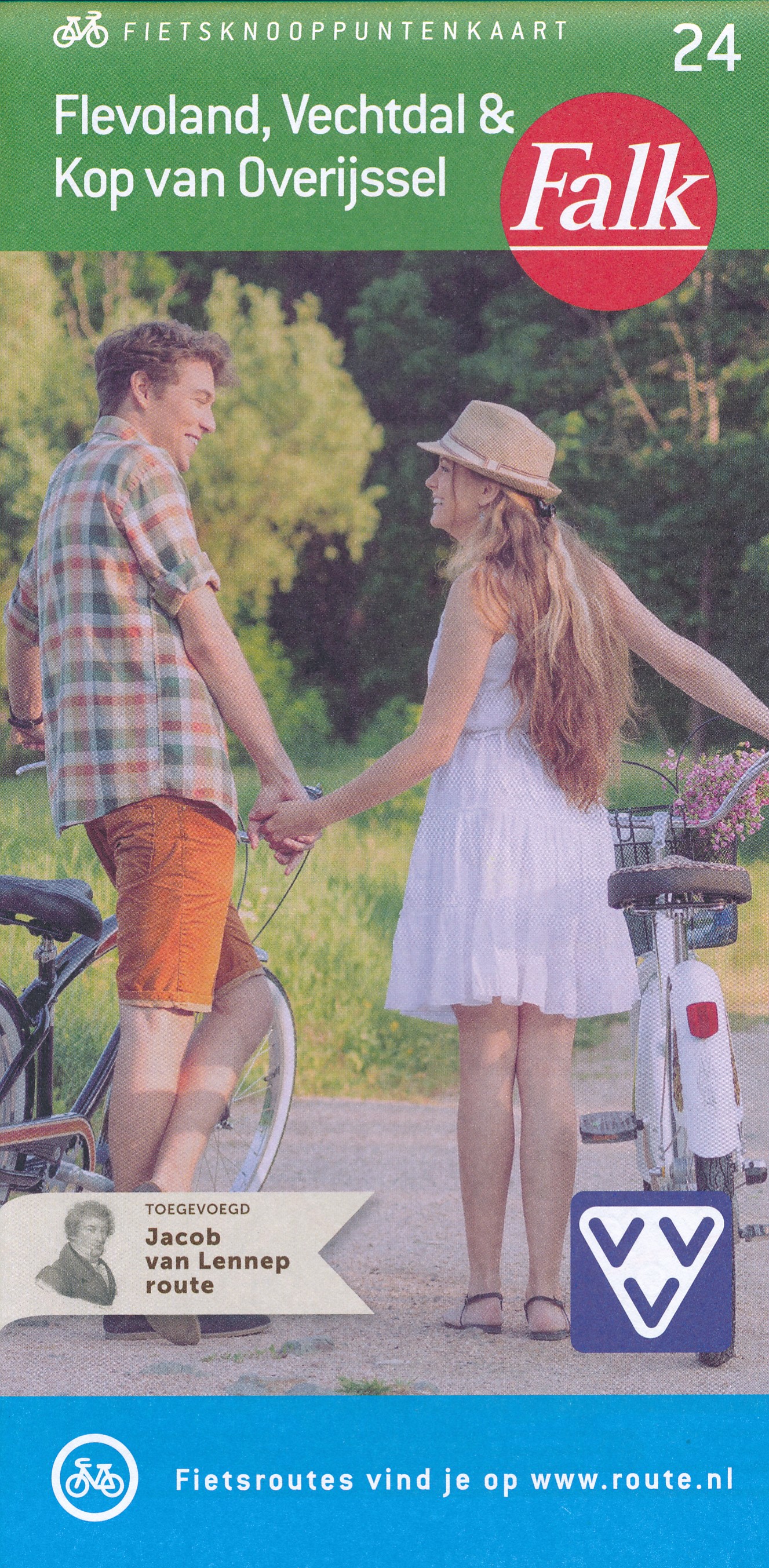
- Flevoland - Kop van Overijssel Falkplan Cycling Map 06
- North-western part of the Overijssel Province in the Netherlands at 1:50,000 in a series from Falk B.V. showing the network of signposted cycling routes on large, double-sided indexed maps with prominent highlighting of long-distance LF routes, symbols indicating accommodation and other tourist services, plus in each title two or more panels... Read more
- Also available from:
- De Zwerver, Netherlands
De Zwerver
Netherlands
Netherlands
- Topografische kaart - Wandelkaart 26A Almere - Buiten | Kadaster
- De meest gedetailleerde kaart die via de verkoopkanalen verkrijgbaar is. Gemaakt door de Nederlandse Topografische dienst bevat deze kaart alle topografische elementen van het landschap en geeft daarmee een nauwkeurig beeld van het terrein. De meeste kaarten hebben een kaartbeeld dat overeenkomt met 12,5 x 10 kilometer in werkelijkheid. Naast... Read more
De Zwerver
Netherlands
Netherlands

De Zwerver
Netherlands
Netherlands
- Topografische kaart - Wandelkaart 26B Oostvaardersplassen | Kadaster
- De meest gedetailleerde kaart die via de verkoopkanalen verkrijgbaar is. Gemaakt door de Nederlandse Topografische dienst bevat deze kaart alle topografische elementen van het landschap en geeft daarmee een nauwkeurig beeld van het terrein. De meeste kaarten hebben een kaartbeeld dat overeenkomt met 12,5 x 10 kilometer in werkelijkheid. Naast... Read more
More maps…