
Gelderland
Description
Map

Trails in this state
- Achterhoekpad
- Airbornepad Market GardenGPX
- E11GPX
- E8GPX
- Elfbekenpad
- Elfbergenpad
- GraafschapspadGPX
- Grote RivierenpadGPX
- HanzestedenpadGPX
- Heerlijkheidspad
- IJsselweg
- Jac. Gazenbeekweg
- Jacobspad LimburgGPX
- Jacobsweg Audenzeel
- Jacobsweg Nieumeghen
- Jagerspad
- Koninklijke WegGPX
- LingepadGPX
- Maarten van RossumpadGPX
- MarskramerpadGPX
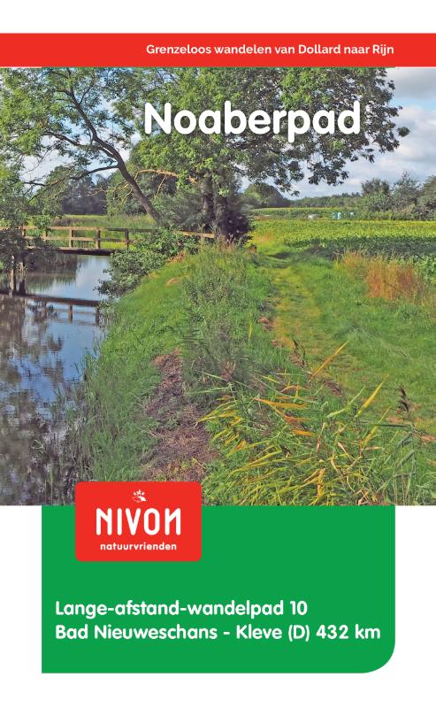
- NoaberpadGPX
- OeverloperpadGPX
- Oude IJssel-Rijnpad
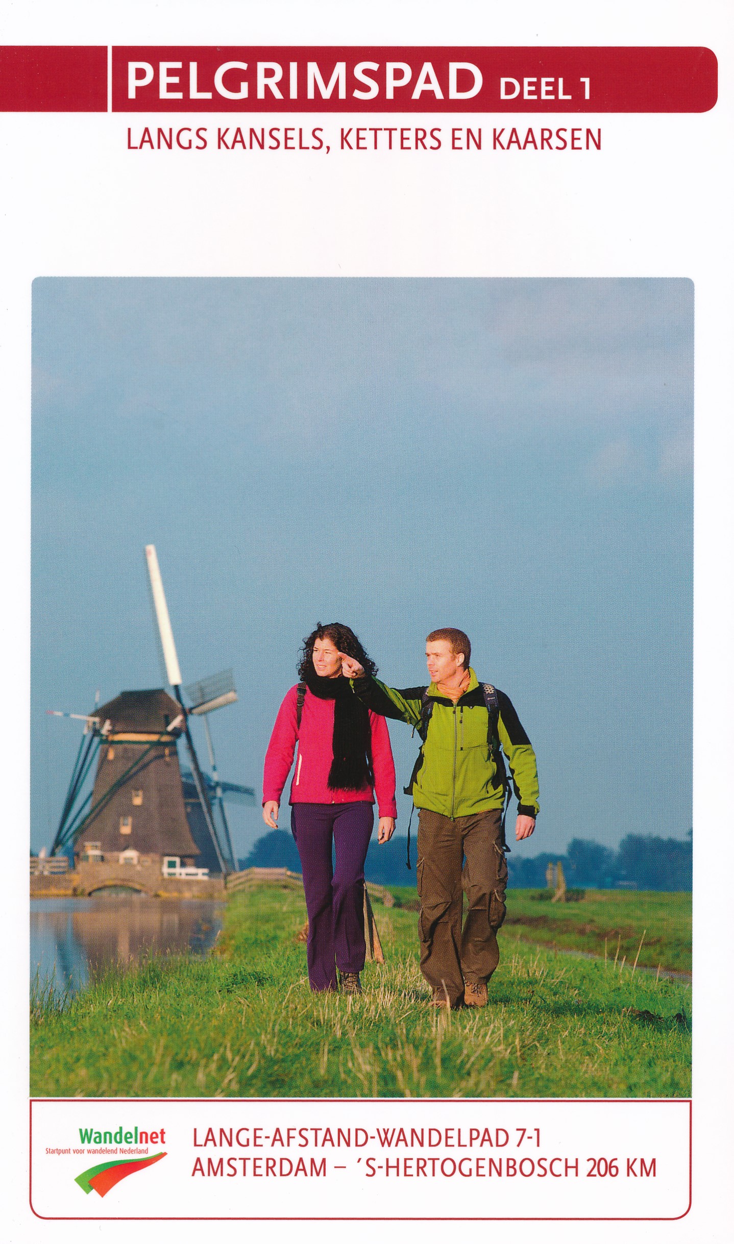
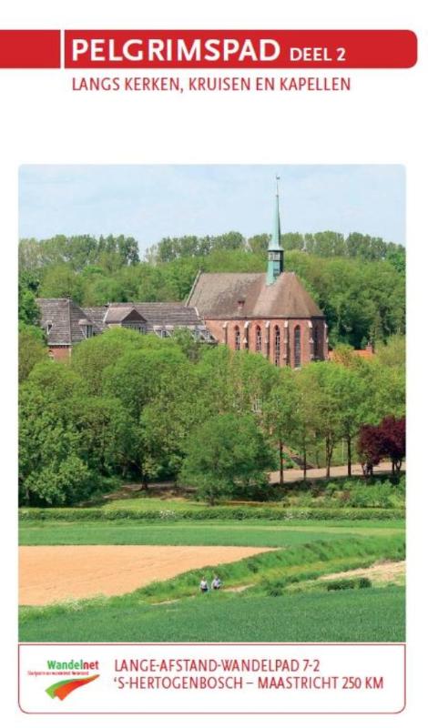
- PelgrimspadGPX
- PieterpadGPX
- Rijndeltapad
- Romeinse LimespadGPX
- Rondom de Groene Bedstee
- ScholtenpadGPX
- Streekpad NijmegenGPX
- Tielerwaard Wandelroute
- TrekvogelpadGPX
- Veluwe ZwerfpadGPX
- Veluweweg
- WaterliniepadGPX
- WesterborkpadGPX
- WillibrorduswandelpadGPX
- ZuiderzeepadGPX
Links
Facts
Reports
Guides and maps
Lodging
Organisations
Tour operators
GPS
Other
Books
De Zwerver
Netherlands
2009
Netherlands
2009
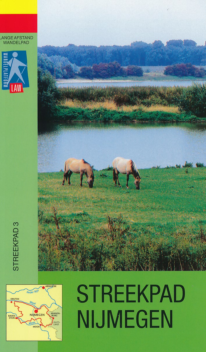
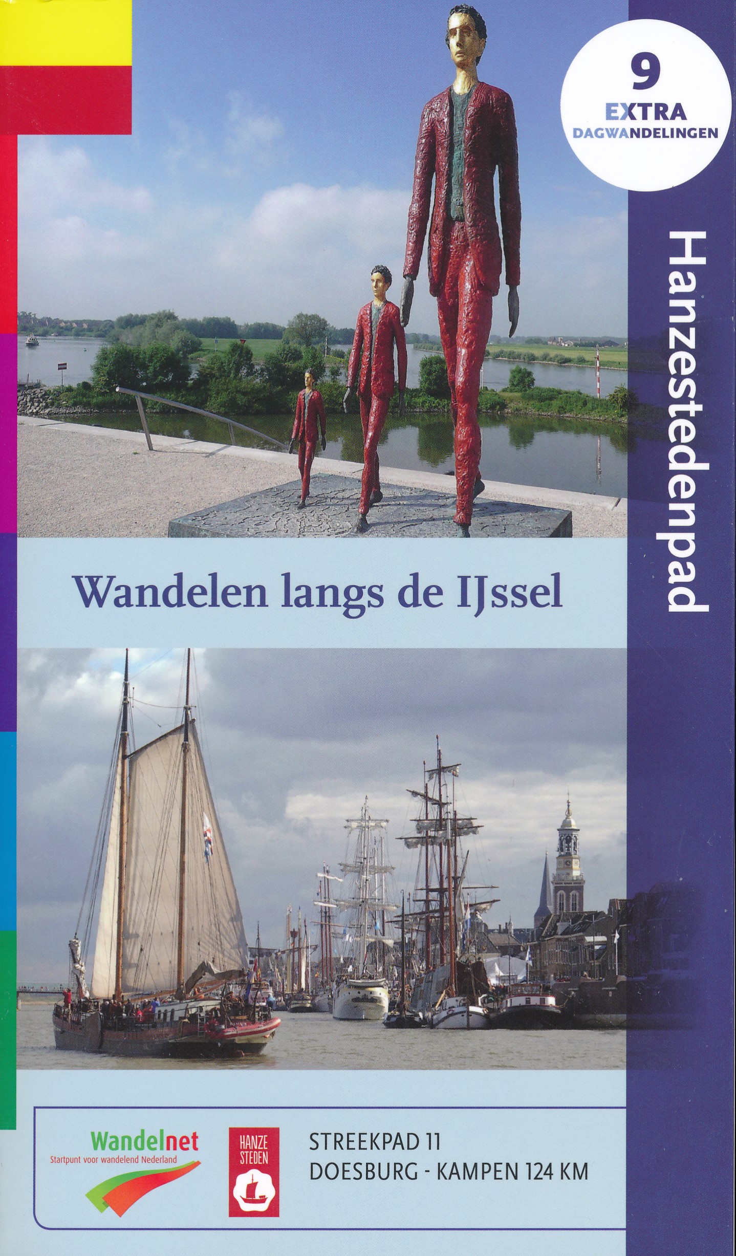
- Wandelgids S3 Streekpad Nijmegen | Wandelnet
- Routegids met gedetailleerde topografische kaarten waar de route duidelijk op ingetekend is. Daarnaast alle noodzakelijke informatie als openbaar vervoer. Streekpad Nijmegen is een route met een veelheid aan landschappen: kronkelende dijken en uiterwaarden langs de grote rivieren, rivierduinen in het Land van Maas en Waal, glooiende bossen in... Read more
Bol.com
Netherlands
2008
Netherlands
2008
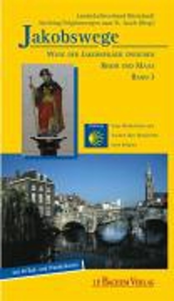
- Jakobswege 03. Wege Der Jakobspilger Zwischen Rhein Und Maas
- Der neue Band 3 der Jakobswege zu Fu und per Rad ist eine deutsch-niederl ndische Produktion. Der "Rhein-Maas-Weg" folgt den Spuren der Jakobspilger vom niederl ndischen Millingen am Rhein n rdlich Kleve quer durch die niederrheinische Landschaft mit Stationen in Kranenburg, Goch, Kevelaer und Straelen und f hrt weiter entlang der Maas ber... Read more
- Also available from:
- Bol.com, Belgium
Bol.com
Belgium
2008
Belgium
2008
- Jakobswege 03. Wege Der Jakobspilger Zwischen Rhein Und Maas
- Der neue Band 3 der Jakobswege zu Fu und per Rad ist eine deutsch-niederl ndische Produktion. Der "Rhein-Maas-Weg" folgt den Spuren der Jakobspilger vom niederl ndischen Millingen am Rhein n rdlich Kleve quer durch die niederrheinische Landschaft mit Stationen in Kranenburg, Goch, Kevelaer und Straelen und f hrt weiter entlang der Maas ber... Read more
De Zwerver
Netherlands
2019
Netherlands
2019
De Zwerver
Netherlands
2021
Netherlands
2021
De Zwerver
Netherlands
2016
Netherlands
2016
De Zwerver
Netherlands
2018
Netherlands
2018
- Wandelgids 10 LAW Noaberpad | Nivon
- Routegids met gedetailleerde topografische kaarten waar de route duidelijk op ingetekend is. Daarnaast alle noodzakelijke informatie als openbaar vervoer en overnachtingsadressen. Traject : Nieuweschans-Kleef, lengte : 432 km Het Noaberpad is vernieuwd. Met dit pad loopt u door de mooiste gebieden van Nederland en Duitsland. U maakt al... Read more
De Zwerver
Netherlands
2019
Netherlands
2019
De Zwerver
Netherlands
2016
Netherlands
2016
De Zwerver
Netherlands
2018
Netherlands
2018
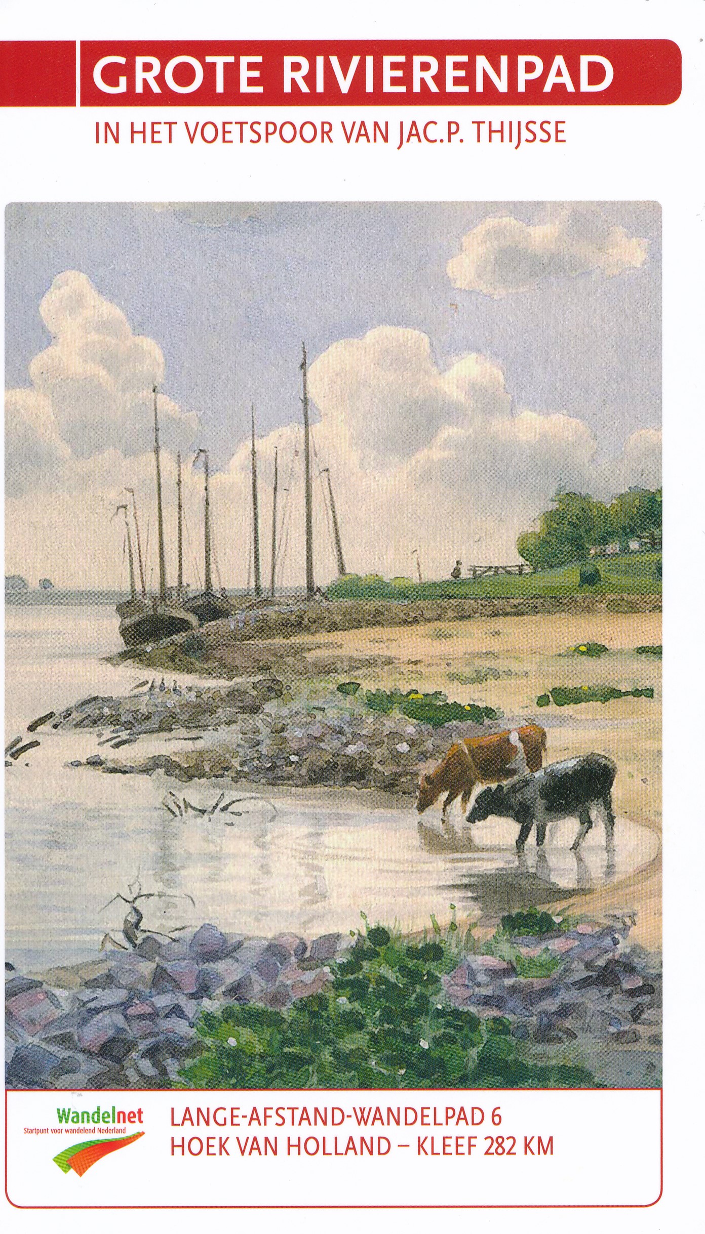
- Wandelgids 6 LAW Grote Rivierenpad - In het Voetspoor van Jac. P. Thijse | Wandelnet
- Het Grote Rivierenpad is een samenvoeging van twee toppers: het Oeverloperpad en het Lingepad. Het pad volgt de oer-Hollandse rivieren Nieuwe Waterweg, Oude Maas, Lek, Linge en Waal. Grote inspiratiebron voor de gids van dit nieuwe pad is het in 1938 verschenen Verkade-album ‘Onze Groote Rivieren’ van Jac. P. Thijsse (1865-1945). Het Grote... Read more
De Zwerver
Netherlands
2017
Netherlands
2017
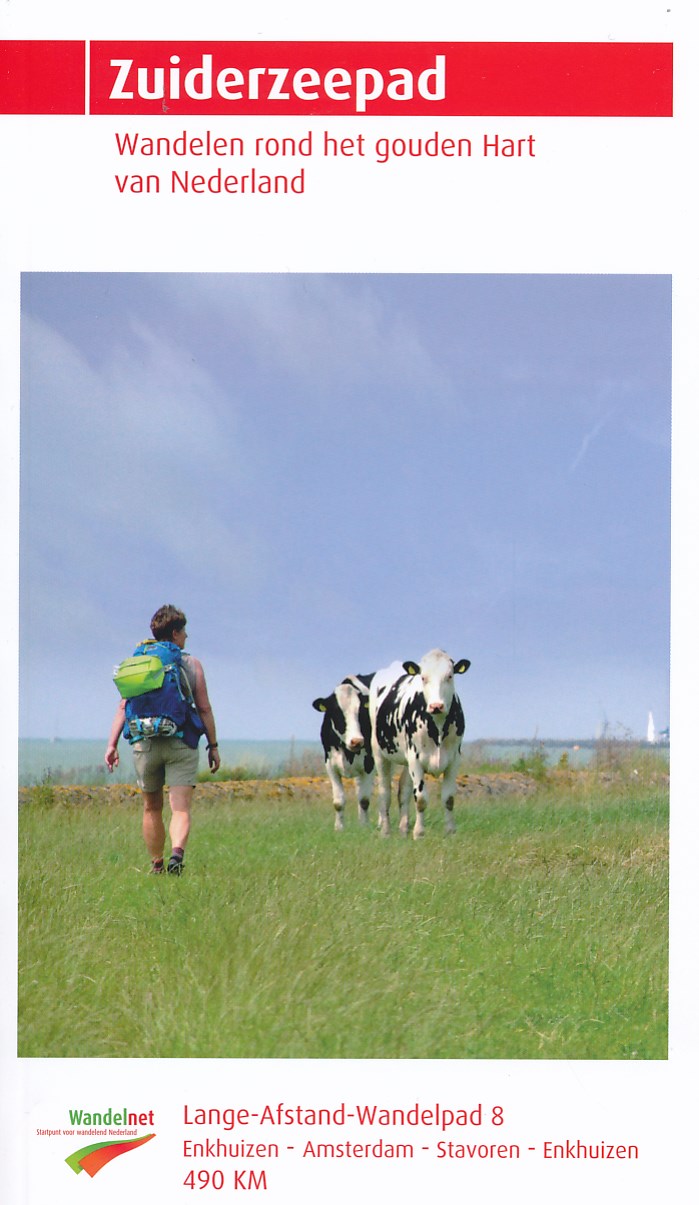
- Wandelgids 8 LAW Zuiderzeepad | Wandelnet
- wandelen rondom de Zuiderzee Read more
De Zwerver
Netherlands
2018
Netherlands
2018
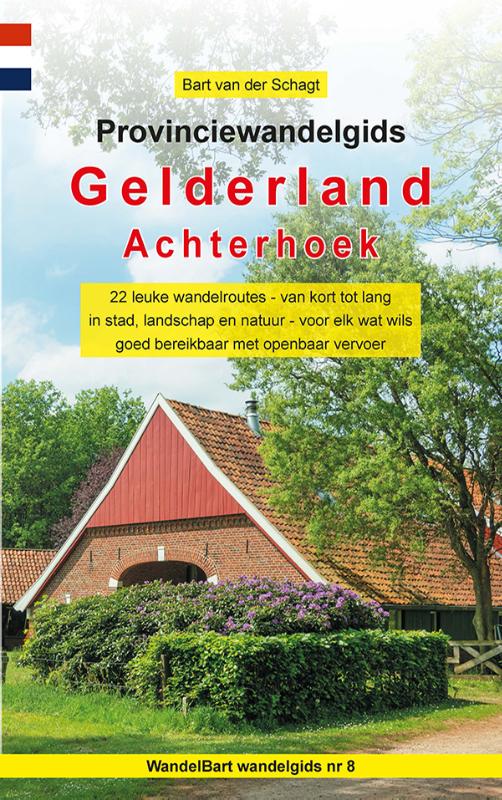
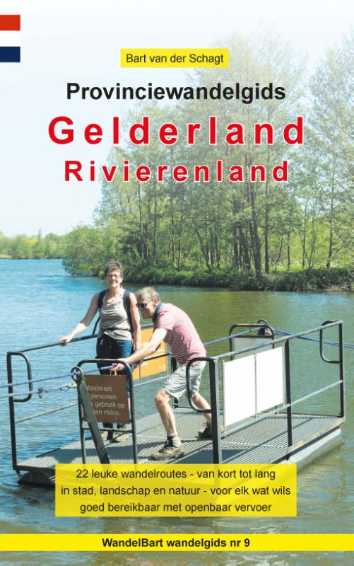
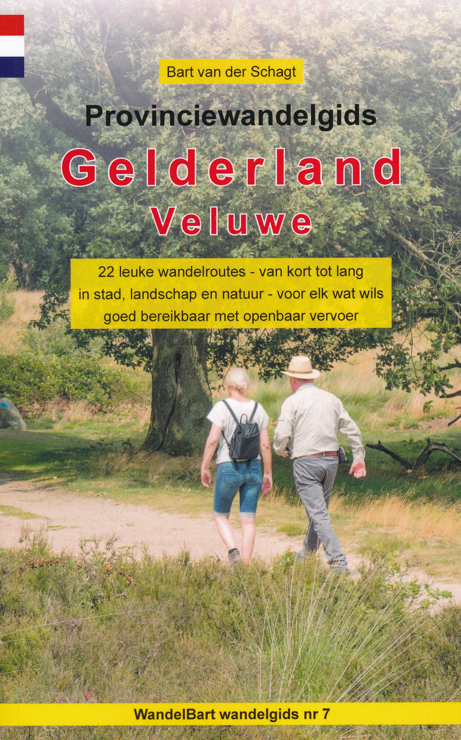
- Wandelgids 7 Provinciewandelgids Gelderland - Veluwe | Anoda Publishing
- De 22 wandelroutes in dit boekje zijn zeer divers: een paar leuke groene stadswandelingen en talrijke tochten door de uitgestrekte bossen en over de immense heidevelden van de Noord-, Midden- en Zuid-Veluwe. Op de Midden-Veluwe is er zelfs een echte woestijntocht, op de Oost-Veluwe lopen enkele routes langs de daar vele sprengbeken en aan de... Read more
De Zwerver
Netherlands
2021
Netherlands
2021
Maps

Stanfords
United Kingdom
United Kingdom
- Pegnitz E11
- Pegnitz in a series of GPS compatible recreational editions of the Bavarian topographic survey at 1:25,000, with waymarked hiking trails and cycling routes, campsites and youth hostels, etc. Coverage includes Creußen, Ahorntal, Pottenstein, Glashütten, Hummeltal, Schnabelwaid.Contours used in this map vary between 5 to 20m according to the... Read more

Stanfords
United Kingdom
United Kingdom
- Transrhodopi - Long distance hiking and biking trail From Trigrad to Ivaylovgrad
- Western Rhodope Mountains at 1:100,000 on a contoured GPS compatible map from Domino extending from just west of the Pirin National Park to Asenovgrad in the north-east. The map is double-sided with a good overlap between the sides. Topography is shown by contours at 50m intervals with relief shading and spot heights, plus colouring for... Read more

Stanfords
United Kingdom
United Kingdom
- Rivierenland - De Biesbosch - Rijk van Nijmegen Falkplan Cycling Map 11
- The Great Rivers of Gelderland region of the Netherlands at 1:50,000 in a series from Falk B.V. showing the network of signposted cycling routes on large, double-sided indexed maps with prominent highlighting of long-distance LF routes, symbols indicating accommodation and other tourist services, plus in each title two or more panels with... Read more

Stanfords
United Kingdom
United Kingdom
- Veluwe Central Falkplan 24
- The central part of the Veluwe area of the Netherlands in a series of walking and cycling maps at 1:25,000 – 1:35,000, published by Falk BV in cooperation with Staatsbosbeheer – Dutch government’s organization for forestry and the management of nature reserves.Colouring indicates different types of vegetation or terrain: woodland, pastures,... Read more
Stanfords
United Kingdom
United Kingdom
- Veluwe Falkplan Cycling Map 09
- Veluwe region of the Netherlands at 1:50,000 in a series from Falk B.V. showing the network of signposted cycling routes on large, double-sided indexed maps with prominent highlighting of long-distance LF routes, symbols indicating accommodation and other tourist services, plus in each title two or more panels with recommended local circuits... Read more
Stanfords
United Kingdom
United Kingdom
- Rijk van Nijmegen
- Rijk van Nijmegen area of the Netherlands in a series of walking and cycling maps at 1:25,000 – 1:35,000, published by Falk BV in cooperation with Staatsbosbeheer – Dutch government’s organization for forestry and the management of nature reserves.Colouring indicates different types of vegetation or terrain: woodland, pastures, heath or sand... Read more
Stanfords
United Kingdom
2022
United Kingdom
2022
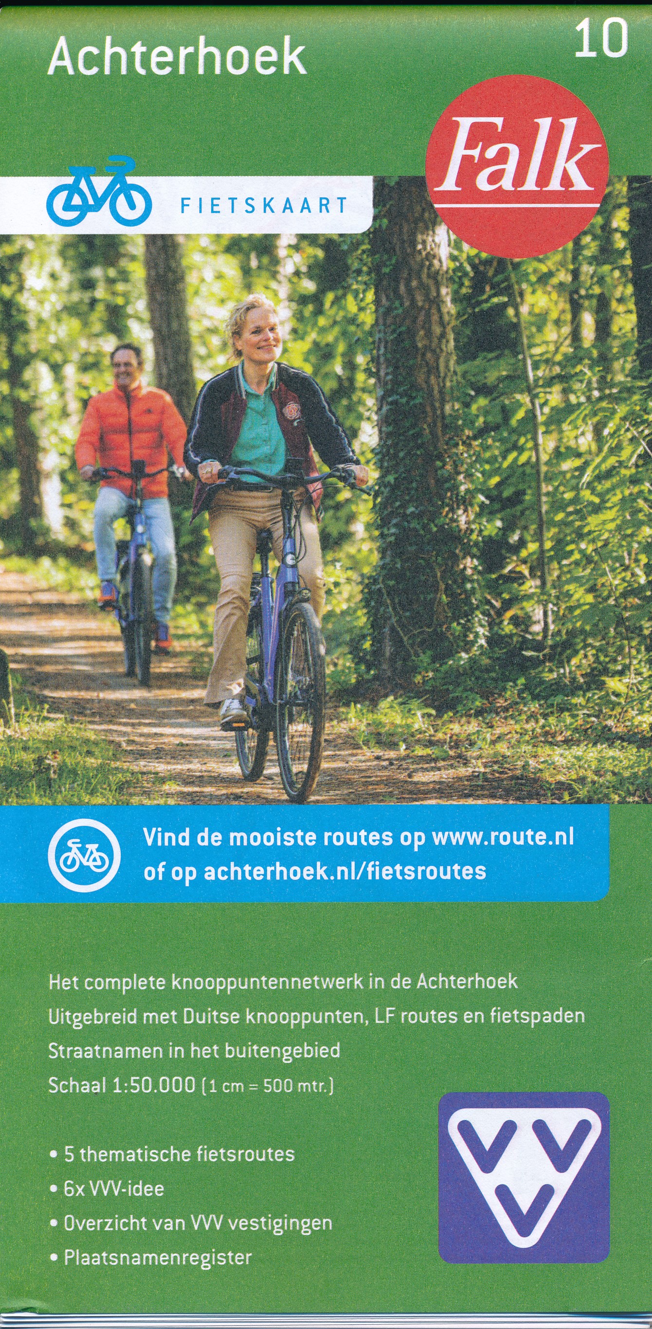
- Achterhoek Falkplan Cycling Map 10
- Achterhoek region of the Netherlands at 1:50,000 in a series from Falk B.V. showing the network of signposted cycling routes on large, double-sided indexed maps with prominent highlighting of long-distance LF routes, symbols indicating accommodation and other tourist services, plus in each title two or more panels with recommended local... Read more
De Zwerver
Netherlands
Netherlands
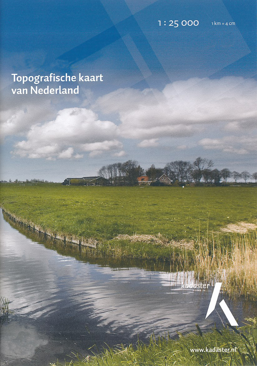
- Topografische kaart - Wandelkaart 39H Bergharen | Kadaster
- De meest gedetailleerde kaart die via de verkoopkanalen verkrijgbaar is. Gemaakt door de Nederlandse Topografische dienst bevat deze kaart alle topografische elementen van het landschap en geeft daarmee een nauwkeurig beeld van het terrein. De meeste kaarten hebben een kaartbeeld dat overeenkomt met 12,5 x 10 kilometer in werkelijkheid. Naast... Read more

Stanfords
United Kingdom
United Kingdom
- Pirin Mountains Domino
- Pirin Mountains at 1:50,000 on a large, double-sided, contoured map with GPS waypoints for shelters and chalets, peaks, etc. and highlighting hiking routes. Topography is shown by contours at 40m intervals with additional relief shading and graphics and colouring for sandstone stacks, single rocks over 5m high, marshlands and different types of... Read more
- Also available from:
- De Zwerver, Netherlands

De Zwerver
Netherlands
Netherlands
- Wandelkaart 6 Pirin gebergte | Domino
- Pirin Mountains at 1:50,000 on a large, double-sided, contoured map with GPS waypoints for shelters and chalets, peaks, etc. and highlighting hiking routes. Topography is shown by contours at 40m intervals with additional relief shading and graphics and colouring for sandstone stacks, single rocks over 5m high, marshlands and different types of... Read more

De Zwerver
Netherlands
Netherlands
- Topografische kaart - Wandelkaart 41B Lichtenvoorde (Achterhoek) | Kadaster
- De meest gedetailleerde kaart die via de verkoopkanalen verkrijgbaar is. Gemaakt door de Nederlandse Topografische dienst bevat deze kaart alle topografische elementen van het landschap en geeft daarmee een nauwkeurig beeld van het terrein. De meeste kaarten hebben een kaartbeeld dat overeenkomt met 12,5 x 10 kilometer in werkelijkheid. Naast... Read more
Bol.com
Netherlands
Netherlands
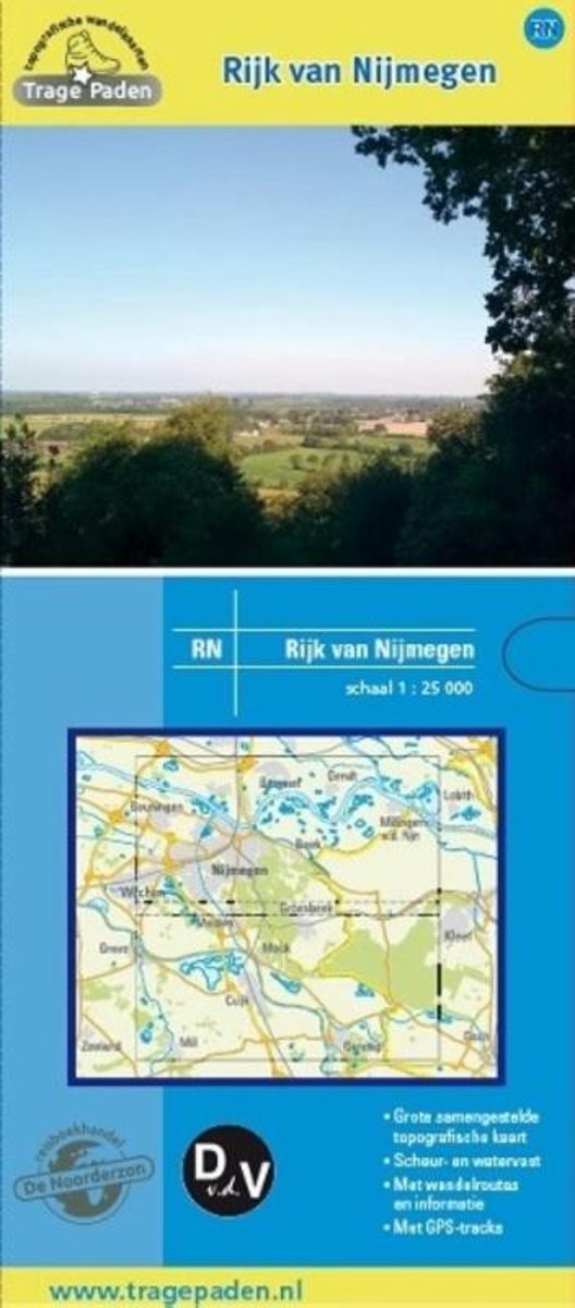
- Trage Paden RN - Topografische wandelkaart Rijk van Nijmegen
- Grote, samengestelde en gedetailleerde topografische wandelkaart, op schaal 1:25.000. Scheur- en watervast. Vele wandelroutes ingetekend, onder andere lange afstandsroutes, zoals het Pieterpad, het Grote Rivierenpad, het Airbornepad Market Garden, Streekpad Nijmegen, Maas en Peelliniepad en het Maas- Niederrheinpad. Daarnaast veel... Read more
- Also available from:
- Bol.com, Belgium
Bol.com
Belgium
Belgium
- Trage Paden RN - Topografische wandelkaart Rijk van Nijmegen
- Grote, samengestelde en gedetailleerde topografische wandelkaart, op schaal 1:25.000. Scheur- en watervast. Vele wandelroutes ingetekend, onder andere lange afstandsroutes, zoals het Pieterpad, het Grote Rivierenpad, het Airbornepad Market Garden, Streekpad Nijmegen, Maas en Peelliniepad en het Maas- Niederrheinpad. Daarnaast veel... Read more

De Zwerver
Netherlands
Netherlands
- Topografische kaart - Wandelkaart 45B Kerkdriel | Kadaster
- De meest gedetailleerde kaart die via de verkoopkanalen verkrijgbaar is. Gemaakt door de Nederlandse Topografische dienst bevat deze kaart alle topografische elementen van het landschap en geeft daarmee een nauwkeurig beeld van het terrein. De meeste kaarten hebben een kaartbeeld dat overeenkomt met 12,5 x 10 kilometer in werkelijkheid. Naast... Read more

De Zwerver
Netherlands
Netherlands
- Topografische kaart - Wandelkaart 40A Oosterbeek (Veluwe) | Kadaster
- De meest gedetailleerde kaart die via de verkoopkanalen verkrijgbaar is. Gemaakt door de Nederlandse Topografische dienst bevat deze kaart alle topografische elementen van het landschap en geeft daarmee een nauwkeurig beeld van het terrein. De meeste kaarten hebben een kaartbeeld dat overeenkomt met 12,5 x 10 kilometer in werkelijkheid. Naast... Read more
De Zwerver
Netherlands
2019
Netherlands
2019