Groningen
Description
Map

Trails in this state
Links
Facts
Reports
Guides and maps
Lodging
Organisations
Tour operators
GPS
Other
Books

Stanfords
United Kingdom
United Kingdom
- Bournemouth, Purbeck, Wimborne Minster & Ringwood OS Landranger Active Map 195 (waterproof)
- Bournemouth and the Isle of Purbeck area, including part of the New Forest National Park and a section of the South West Coast Path / E9 European Long-distance Path, on a waterproof and tear-resistant OS Active version of map No. 195 from the Ordnance Survey’s Landranger series at 1:50,000, with contoured and GPS compatible topographic mapping... Read more

Stanfords
United Kingdom
United Kingdom
- The Solent, Isle of Wight, Southampton & Portsmouth OS Landranger Active Map 196 (waterproof)
- Isle of Wight with the Southampton - Portsmouth area, including part of the New Forest National Park and a section of the E9 European Long-distance Path, on a waterproof and tear-resistant OS Active version of map No. 196 from the Ordnance Survey’s Landranger series at 1:50,000, with contoured and GPS compatible topographic mapping plus tourist... Read more

Stanfords
United Kingdom
United Kingdom
- Eastbourne, Hastings, Crowborough, Battle & Heathfield OS Landranger Active Map 199 (waterproof)
- Eastbourne and Hastings area, including the Seven Sisters and sections of the South Downs Way and the E9 European Long-distance Path, on a waterproof and tear-resistant OS Active version of map No. 199 from the Ordnance Survey’s Landranger series at 1:50,000, with contoured and GPS compatible topographic mapping plus tourist information.MOBILE... Read more

The Book Depository
United Kingdom
United Kingdom
- From Groningen to Montpellier
- A walk along rivers and canals Read more

Stanfords
United Kingdom
United Kingdom
- Ashford, Romney Marsh, Rye & Folkestone OS Landranger Map 189 (paper)
- Ashford and Romney Marsh area, including sections of the North Downs Way and the E9 European Long-distance Path, on a paper version of map No. 189 from the Ordnance Survey’s Landranger series at 1:50,000, with contoured and GPS compatible topographic mapping plus tourist information.MOBILE DOWNLOADS: As well as the physical edition of the map,... Read more
- Also available from:
- The Book Depository, United Kingdom
- De Zwerver, Netherlands


De Zwerver
Netherlands
Netherlands

Stanfords
United Kingdom
United Kingdom
- Exeter, Sidmouth, Exmouth & Teignmouth OS Landranger Map 192 (paper)
- Exeter and Sidmouth area, including a section of the South West Coast Path / E9 European Long-distance Path, on a paper version of map No. 192 from the Ordnance Survey’s Landranger series at 1:50,000, with contoured and GPS compatible topographic mapping plus tourist information.MOBILE DOWNLOADS: As well as the physical edition of the map, each... Read more
- Also available from:
- The Book Depository, United Kingdom
- De Zwerver, Netherlands


De Zwerver
Netherlands
Netherlands

Stanfords
United Kingdom
United Kingdom
- Dorchester, Weymouth, Cerne Abbas & Bere Regis OS Landranger Map 194 (paper)
- Dorchester and Weymouth area, including a section of the South West Coast Path / E9 European Long-distance Path, on a paper version of map No. 194 from the Ordnance Survey’s Landranger series at 1:50,000, with contoured and GPS compatible topographic mapping plus tourist information.MOBILE DOWNLOADS: As well as the physical edition of the map,... Read more
- Also available from:
- The Book Depository, United Kingdom
- De Zwerver, Netherlands


De Zwerver
Netherlands
Netherlands

Stanfords
United Kingdom
United Kingdom
- Taunton, Lyme Regis, Chard & Bridport OS Landranger Map 193 (paper)
- Taunton and Lyme Regis area, including a section of the South West Coast Path / E9 European Long-distance Path, on a paper version of map No. 193 from the Ordnance Survey’s Landranger series at 1:50,000, with contoured and GPS compatible topographic mapping plus tourist information.MOBILE DOWNLOADS: As well as the physical edition of the map,... Read more
- Also available from:
- The Book Depository, United Kingdom
- De Zwerver, Netherlands


De Zwerver
Netherlands
Netherlands

Stanfords
United Kingdom
United Kingdom
- Ashford, Romney Marsh, Rye & Folkestone OS Landranger Active Map 189 (waterproof)
- Ashford and Romney Marsh area, including sections of the North Downs Way and the E9 European Long-distance Path, on a waterproof and tear-resistant OS Active version of map No. 189 from the Ordnance Survey’s Landranger series at 1:50,000, with contoured and GPS compatible topographic mapping plus tourist information.MOBILE DOWNLOADS: As well as... Read more
- Also available from:
- The Book Depository, United Kingdom


Stanfords
United Kingdom
United Kingdom
- The Solent, Isle of Wight, Southampton & Portsmouth OS Landranger Map 196 (paper)
- Isle of Wight with the Southampton - Portsmouth area, including part of the New Forest National Park and a section of the E9 European Long-distance Path, on a paper version of map No. 196 from the Ordnance Survey’s Landranger series at 1:50,000, with contoured and GPS compatible topographic mapping plus tourist information.MOBILE DOWNLOADS: As... Read more
- Also available from:
- The Book Depository, United Kingdom
- De Zwerver, Netherlands


De Zwerver
Netherlands
Netherlands

Stanfords
United Kingdom
United Kingdom
- Bournemouth, Purbeck, Wimborne Minster & Ringwood OS Landranger Map 195 (paper)
- Bournemouth and the Isle of Purbeck area, including part of the New Forest National Park and a section of the South West Coast Path / E9 European Long-distance Path, on a paper version of map No. 195 from the Ordnance Survey’s Landranger series at 1:50,000, with contoured and GPS compatible topographic mapping plus tourist information.MOBILE... Read more
- Also available from:
- The Book Depository, United Kingdom
- De Zwerver, Netherlands


De Zwerver
Netherlands
Netherlands

Stanfords
United Kingdom
United Kingdom
- Exeter, Sidmouth, Exmouth & Teignmouth OS Landranger Active Map 192 (waterproof)
- Exeter and Sidmouth area, including a section of the South West Coast Path / E9 European Long-distance Path, on a waterproof and tear-resistant OS Active version of map No. 192 from the Ordnance Survey’s Landranger series at 1:50,000, with contoured and GPS compatible topographic mapping plus tourist information.MOBILE DOWNLOADS: As well as the... Read more
- Also available from:
- The Book Depository, United Kingdom


Stanfords
United Kingdom
United Kingdom
- Chichester, South Downs, Bognor Regis & Arundel OS Landranger Map 197 (paper)
- Chichester and Bognor Regis area, including the South Downs National Park and a section of the South Downs Way / E9 European Long-distance Path, on a paper version of map No. 197 from the Ordnance Survey’s Landranger series at 1:50,000, with contoured and GPS compatible topographic mapping plus tourist information.MOBILE DOWNLOADS: As well as... Read more
- Also available from:
- The Book Depository, United Kingdom
- De Zwerver, Netherlands


De Zwerver
Netherlands
Netherlands

Stanfords
United Kingdom
United Kingdom
- Chichester, South Downs, Bognor Regis & Arundel OS Landranger Active Map 197 (waterproof)
- Chichester and Bognor Regis area, including the South Downs National Park and a section of the South Downs Way / E9 European Long-distance Path, on a waterproof and tear-resistant OS Active version of map No. 197 from the Ordnance Survey’s Landranger series at 1:50,000, with contoured and GPS compatible topographic mapping plus tourist... Read more
- Also available from:
- The Book Depository, United Kingdom


Stanfords
United Kingdom
United Kingdom
- Dorchester, Weymouth, Cerne Abbas & Bere Regis OS Landranger Active Map 194 (waterproof)
- Dorchester and Weymouth area, including a section of the South West Coast Path / E9 European Long-distance Path, on a waterproof and tear-resistant OS Active version of map No. 194 from the Ordnance Survey’s Landranger series at 1:50,000, with contoured and GPS compatible topographic mapping plus tourist information.MOBILE DOWNLOADS: As well as... Read more
- Also available from:
- The Book Depository, United Kingdom

Maps

Stanfords
United Kingdom
United Kingdom
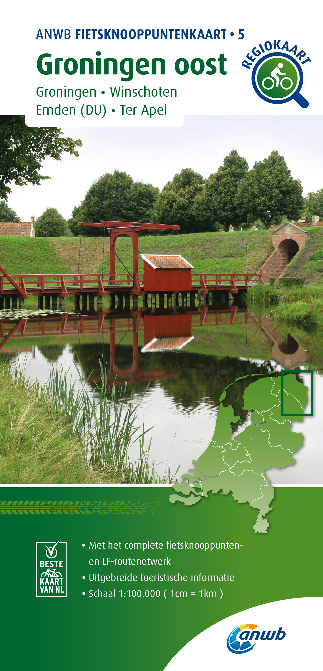
- Groningen - Lauwersmeer Falkplan Cycling Map
- Groningen Province of the Netherlands at 1:50,000 in a series from Falk B.V. showing the network of signposted cycling routes on large, double-sided indexed maps with prominent highlighting of long-distance LF routes, symbols indicating accommodation and other tourist services, plus in each title two or more panels with recommended local... Read more

Stanfords
United Kingdom
United Kingdom
- North East Friesland
- “North East Friesland” map in 1:25,000 belong to a series of eleven walking from Falk, which cover the most beautiful hiking areas in which cover the most beautiful hiking areas in four regions: North Brabant in the south, the tip of North Holland, Friesland and Groningen in the north of the country.“North East Friesland” map covers part of the... Read more
Stanfords
United Kingdom
United Kingdom
- Drenthe East - Southeast Groningen Falkplan Cycling Map
- The eastern part of the Drenthe Province in the Netherlands at 1:50,000 in a series from Falk B.V. showing the network of signposted cycling routes on large, double-sided indexed maps with prominent highlighting of long-distance LF routes, symbols indicating accommodation and other tourist services, plus in each title two or more panels with... Read more

Stanfords
United Kingdom
United Kingdom
- De Acht Zaligheden
- ”De Acht Zaligheden” map in 1:25,000 belong to a series of eleven walking from Falk, which cover the most beautiful hiking areas in four regions: North Brabant in the south, the tip of North Holland, Friesland and Groningen in the north of the country.”De Acht Zaligheden” (the eight beauties) map covers an area of approximately 24 x 12 km in... Read more

Stanfords
United Kingdom
United Kingdom
- North East Groningen
- “North East Groningen” map in 1:25,000 belong to a series of eleven walking from Falk, which cover the most beautiful hiking areas in four regions: North Brabant in the south, the tip of North Holland, Friesland and Groningen in the north of the country.“North East Groningen” map covers part of the Frisian Islands and a section of Groningen.The... Read more

Stanfords
United Kingdom
United Kingdom
- Het Groene Woud
- “Het Groene Woud” map in 1:25,000 belong to a series of eleven walking from Falk, which cover the most beautiful hiking areas in four regions: North Brabant in the south, the tip of North Holland, Friesland and Groningen in the north of the country.“Het Groene Woud” (the green forest) map covers an area of approximately 26 x 16 km in North... Read more

Stanfords
United Kingdom
United Kingdom
- North West Friesland
- “North West Friesland” map in 1:25,000 belong to a series of eleven walking from Falk, which cover the most beautiful hiking areas in four regions: North Brabant in the south, the tip of North Holland, Friesland and Groningen in the north of the country.“North West Friesland” map covers part of the Frisian Islands and a section of North... Read more

De Zwerver
Netherlands
Netherlands
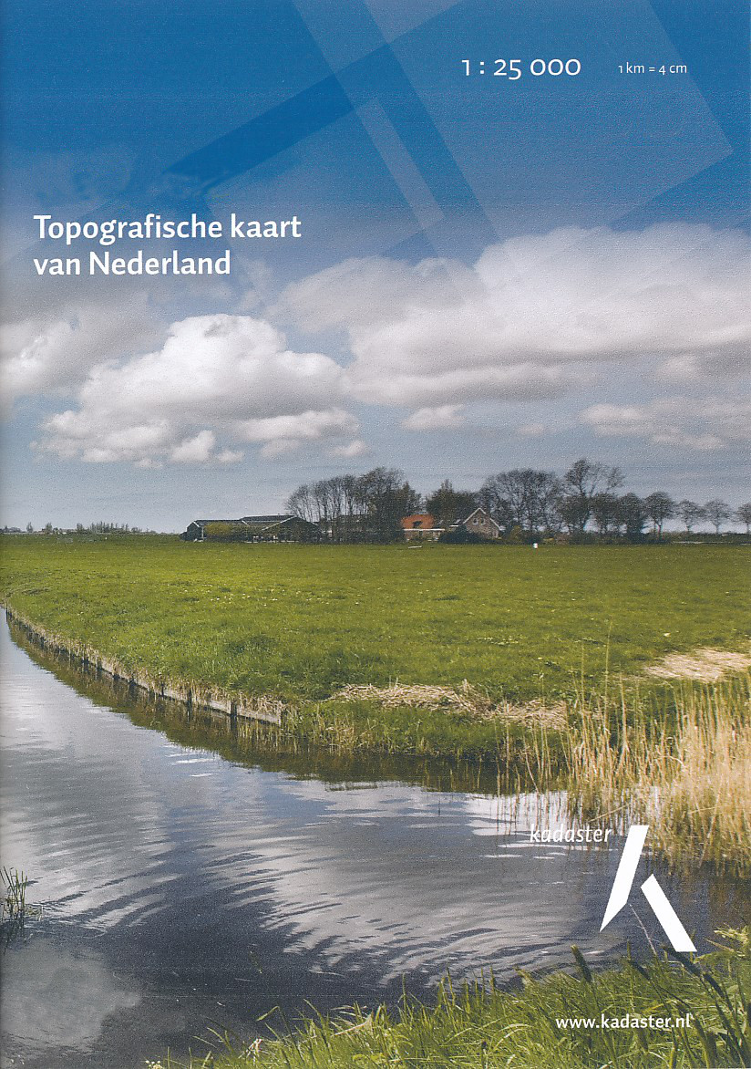
- Topografische kaart - Wandelkaart 7G Hoogezand | Kadaster
- De meest gedetailleerde kaart die via de verkoopkanalen verkrijgbaar is. Gemaakt door de Nederlandse Topografische dienst bevat deze kaart alle topografische elementen van het landschap en geeft daarmee een nauwkeurig beeld van het terrein. De meeste kaarten hebben een kaartbeeld dat overeenkomt met 12,5 x 10 kilometer in werkelijkheid. Naast... Read more

De Zwerver
Netherlands
Netherlands
- Topografische kaart - Wandelkaart 18A Ter Apel | Kadaster
- De meest gedetailleerde kaart die via de verkoopkanalen verkrijgbaar is. Gemaakt door de Nederlandse Topografische dienst bevat deze kaart alle topografische elementen van het landschap en geeft daarmee een nauwkeurig beeld van het terrein. De meeste kaarten hebben een kaartbeeld dat overeenkomt met 12,5 x 10 kilometer in werkelijkheid. Naast... Read more

De Zwerver
Netherlands
Netherlands
- Topografische kaart - Wandelkaart 8A Termunten | Kadaster
- De meest gedetailleerde kaart die via de verkoopkanalen verkrijgbaar is. Gemaakt door de Nederlandse Topografische dienst bevat deze kaart alle topografische elementen van het landschap en geeft daarmee een nauwkeurig beeld van het terrein. De meeste kaarten hebben een kaartbeeld dat overeenkomt met 12,5 x 10 kilometer in werkelijkheid. Naast... Read more
De Zwerver
Netherlands
Netherlands

De Zwerver
Netherlands
Netherlands
- Topografische kaart - Wandelkaart 3C Pieterburen | Kadaster
- De meest gedetailleerde kaart die via de verkoopkanalen verkrijgbaar is. Gemaakt door de Nederlandse Topografische dienst bevat deze kaart alle topografische elementen van het landschap en geeft daarmee een nauwkeurig beeld van het terrein. De meeste kaarten hebben een kaartbeeld dat overeenkomt met 12,5 x 10 kilometer in werkelijkheid. Naast... Read more

De Zwerver
Netherlands
Netherlands
- Topografische kaart - Wandelkaart 3D Usquert | Kadaster
- De meest gedetailleerde kaart die via de verkoopkanalen verkrijgbaar is. Gemaakt door de Nederlandse Topografische dienst bevat deze kaart alle topografische elementen van het landschap en geeft daarmee een nauwkeurig beeld van het terrein. De meeste kaarten hebben een kaartbeeld dat overeenkomt met 12,5 x 10 kilometer in werkelijkheid. Naast... Read more
More maps…