
Grebbeliniepad
Description
- Name Grebbeliniepad
- Length of trail 81 km, 50 miles
- Length in days 4 days
- Start of trail Rhenen
- End of trail Spakenburg
- Traildino grading LW, Light walk, countryside walk


Rhenen – Spakenburg, 81 km
War is no fun. This path takes us through a piece of recent war history. The Grebbelinie is a water line, a defence system in the central Netherlands, the province of Utrecht. A water line is ingenious in its design: not a stronghold with castles and walls, but an extensive low-lying area submerged to halt enemy armies. The trick is to make the water level too high for horses and foot soldiers, and too low for boats. That may seem easy. But even in wet Holland, the problem was to have a good supply of water year round, and no frost period. Especially the French knew this last weakness well.
We can distinguish three periods in the history of the Grebbelinie. The water line was built starting from around 1750. The aim was to create a first line of defence and hold the enemy guns before they could reach Amsterdam. In 1794 the French armies walked over the frozen positions with one finger in the nose. The plan failed. In the 19th century, the Grebbelinie went into oblivion. In 1936 however - the second period – the Grebbelinie was restored and improved because of the German threat. During the German invasion in 1940, it actually served as a defence line. The German armies were delayed for three days only, and the fighting resulted in a trail of destruction. The third period is that of the Germans themselves, who reinforced the stronghold - now called Pantherstellung - to extend their Westwall, resulting in even more destructions and casualties.
The residents along this line of defence have experienced nothing but misery. But today, we can explore the remains of the stronghold along a 81 km long trail between Rhenen along river Lek and Spakenburg on the IJsselmeer. There is a guidebook with topo maps, a website, and the route is (sparingly) marked with blue-green signs.
Besides the Grebbelinie there are two more water lines to be explored by means of a long distance footpath: the Defence Line of Amsterdam – Stelling van Amsterdam - and the Dutch Water Line – Waterliniepad - between Utrecht and Amsterdam.
Map

Links
Facts
Reports
Guides and maps
Lodging
Organisations
Tour operators
GPS
Other
Books
Netherlands
2014
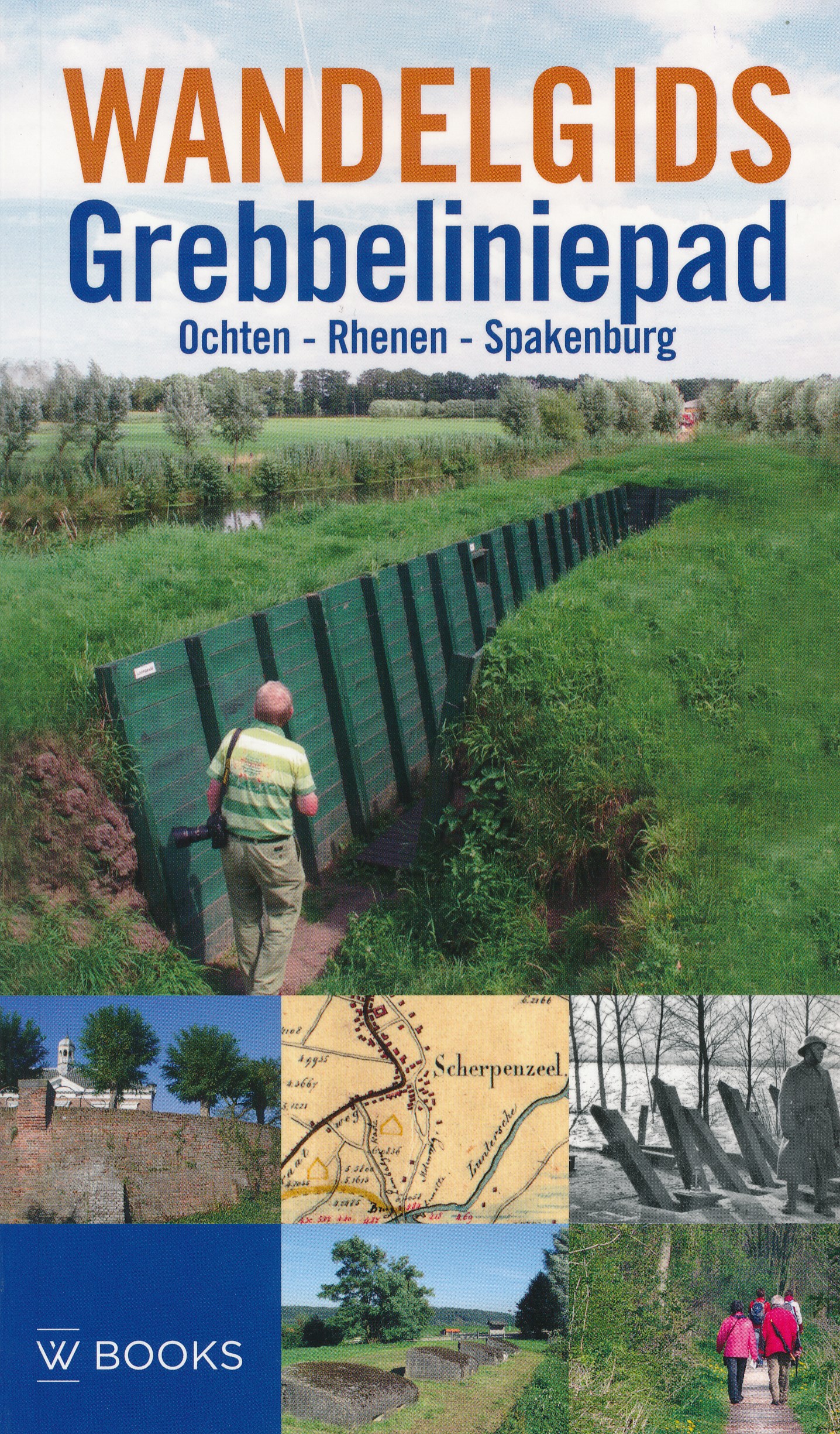
- Wandelgids Grebbeliniepad Ochten - Rhenen - Spakenburg | Uitgeverij Wbooks
- Wandelen in Grebbelinie heeft iets geheimzinnigs; de sporen van 200 jaar vestinggeschiedenis liggen overal verborgen in het groen. In deze vernieuwde uitgave van de Wandelgids Grebbeliniepad is de linie voor het eerst over de gehele lengte te bewandelen. Met de toevoeging van het ontbrekende deel door de Neder-Betuwe langs o.a. het Hoornwerk... Read more