
Islas Baleares
Description

The Balearic Islands a are well known holiday destination. Sun and beach are the keywords. Blessed with a benign subtropical climate, the islands are interesting for hiking too. The two largest islands - Majorca and Menorca - offer interesting long distance paths, not just by connecting some rural roads together, but by restoring old roads and landscapes. These trails - GR221, GR222, GR223 - are described in guidebooks, waymarked, and the Majorca authorities also put refuges in place.
Even with the Mediterranean nearby, summer is hot for hiking. Spring or autumn are better seasons. October can be wet.
The four main islands are, in order of size:
- Mallorca, 3.640 km2, mountains in the north, two great long distance trails
- Menorca, 695 km2, great coastal trail along the entire island
- Ibiza, 572 km2, rural interior and some hills, find your own hikes
- Formentera, 83 km2, small island with loooong beaches
Map

Trails in this region
Links
Facts
Reports
Guides and maps
Lodging
Organisations
Tour operators
GPS
Other
Books

Stanfords
United Kingdom
2014
United Kingdom
2014
- Ibiza and Formentera: Car Tours, Cycle Tours and Walks
- Ibiza & Formentera in the Sunflower Landscapes guide series; exploring the best walking and touring possibilities in the region or area. Detailed information about touring by hired car or public transport, as well as on foot, is provided, helping walkers to navigate and plan day-trips. Shorter strolls are also included as an alternative for... Read more

Stanfords
United Kingdom
2016
United Kingdom
2016
- Menorca Sunflower Landscape Guide
- This new 6th edition of Sunflower`s popular guide to Menorca has been reformatted to feature many new walks and to include a section on the Cami de Cavalls a walking/cycling/riding trail circling the island alongside or near the coast.Menorca is a peaceful island, much more low-key than the neighbouring Balearic Islands of Mallorca and Ibiza.... Read more

Stanfords
United Kingdom
United Kingdom
- Mallorca 4-Map Set Kompass 2230
- Mallorca on a set of four double-sided, contoured and GPS compatible maps at 1:35,000 from Kompass with exceptionally detailed presentation of the topography, extensive overprint for hiking trails and cycling routes, accommodation and places of interest, etc, plus street plans of central Palma de Mallorca, Platja de Palma, Sóller, Alcúdia/Port... Read more

Stanfords
United Kingdom
2021
United Kingdom
2021
- Tour du Cotentin - Littorral de la Normandie GR223
- Tour du Cotentin, FFRP topoguide Ref. no. 200, covering the GR223 along the coast of the Cotentin Peninsula from Isigny-sur-Mer to Mont-St-Michel, including the Utah Beach of the D-Day Normandy Landings. Together with several variants off the main route, the guide provides coverage of nearly 600kms of hiking trails. Current edition of this... Read more
- Also available from:
- The Book Depository, United Kingdom
- De Zwerver, Netherlands

The Book Depository
United Kingdom
2021
United Kingdom
2021


Stanfords
United Kingdom
2021
United Kingdom
2021
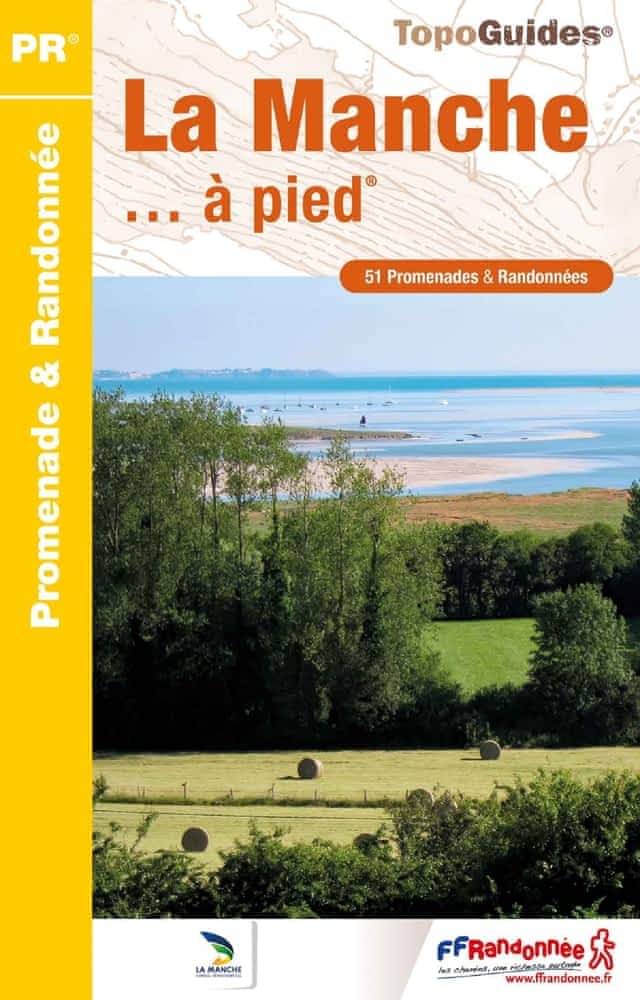
- La Manche à pied
- La Manche à pied, FFRP topo-guide Ref. No. D050, with 51 day walks of varying length and difficulty in the department of La Manche. Coverage extends from Avranches to the tip of the Cotentin Peninsula and includes a walk along the Utah D-Day Beach. Each walk is presented on a separate colour extract from IGN’s topographic survey of France at... Read more
- Also available from:
- The Book Depository, United Kingdom
- De Zwerver, Netherlands


The Book Depository
United Kingdom
2022
United Kingdom
2022
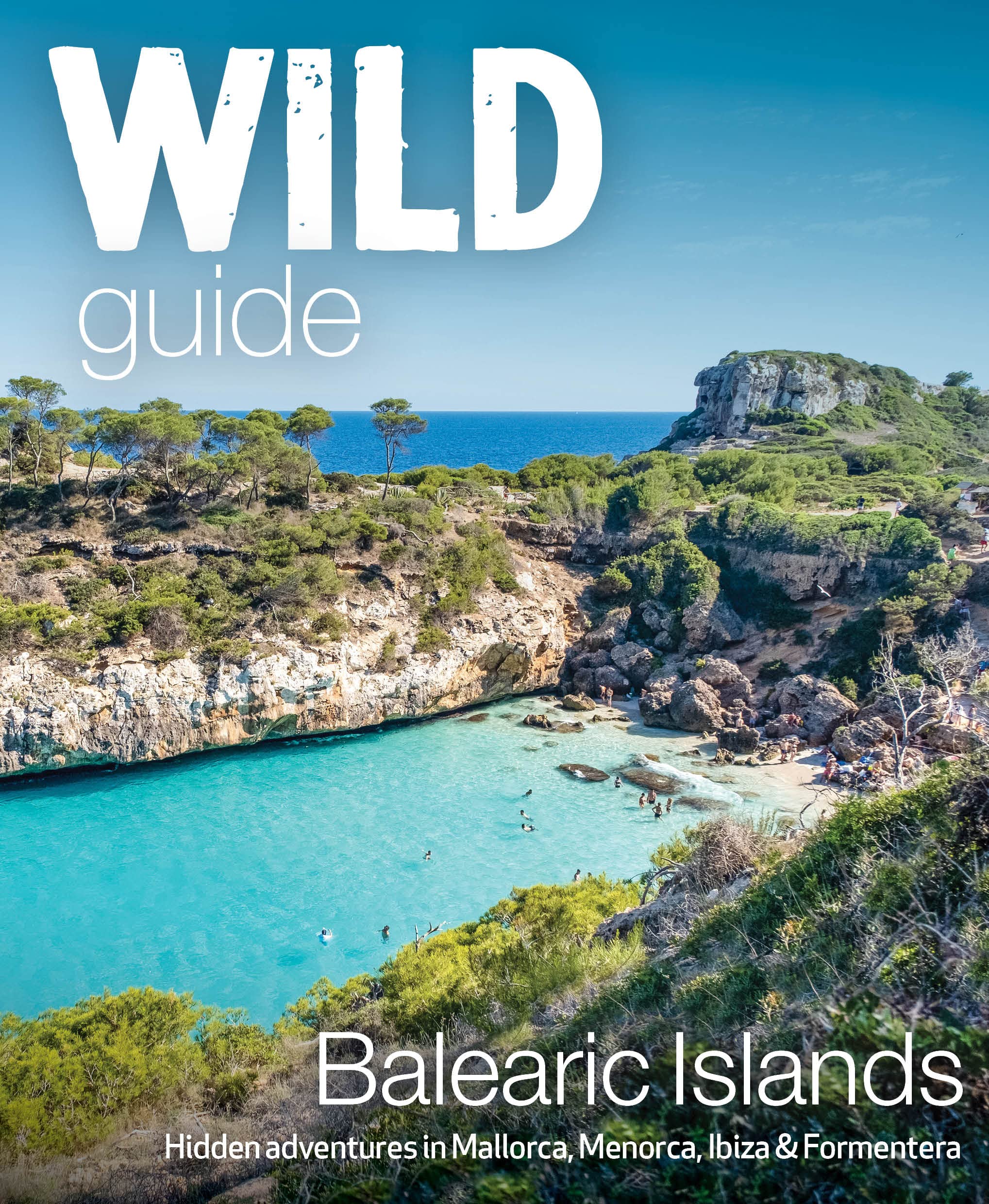
- Wild Guide Balearic Islands
- Secret coves, mountains, caves and adventure in Mallorca, Menorca, Ibiza & Formentera Read more
- Also available from:
- De Zwerver, Netherlands
De Zwerver
Netherlands
2022
Netherlands
2022
- Reisgids Wild Guide Balearic Islands | Wild Things Publishing
- Secret coves, mountains, caves and adventure in Mallorca, Menorca, Ibiza & Formentera Read more
Bol.com
Netherlands
Netherlands
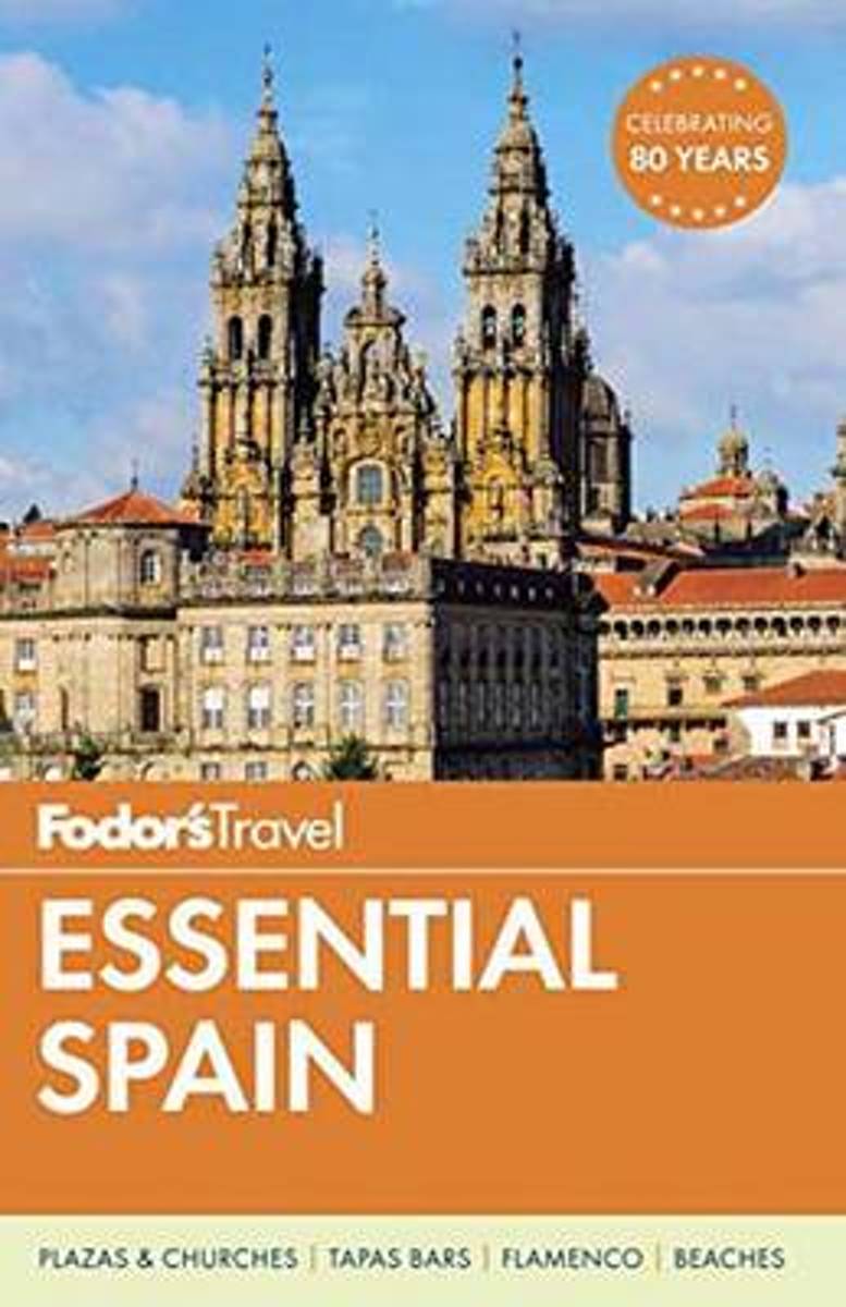
- Fodor's Essential Spain
- Written by locals, Fodor's travel guides have been offering expert advice for all tastes and budgets for 80 years. Spain remains one of the world's most popular tourist destinations for its cutting-edge cuisine and superior wine, festivals like the running of the bulls in Pamplona, world-class museums like the Museo del Prado, amazing... Read more
- Also available from:
- Bol.com, Belgium
Bol.com
Belgium
Belgium
- Fodor's Essential Spain
- Written by locals, Fodor's travel guides have been offering expert advice for all tastes and budgets for 80 years. Spain remains one of the world's most popular tourist destinations for its cutting-edge cuisine and superior wine, festivals like the running of the bulls in Pamplona, world-class museums like the Museo del Prado, amazing... Read more

Stanfords
United Kingdom
2022
United Kingdom
2022
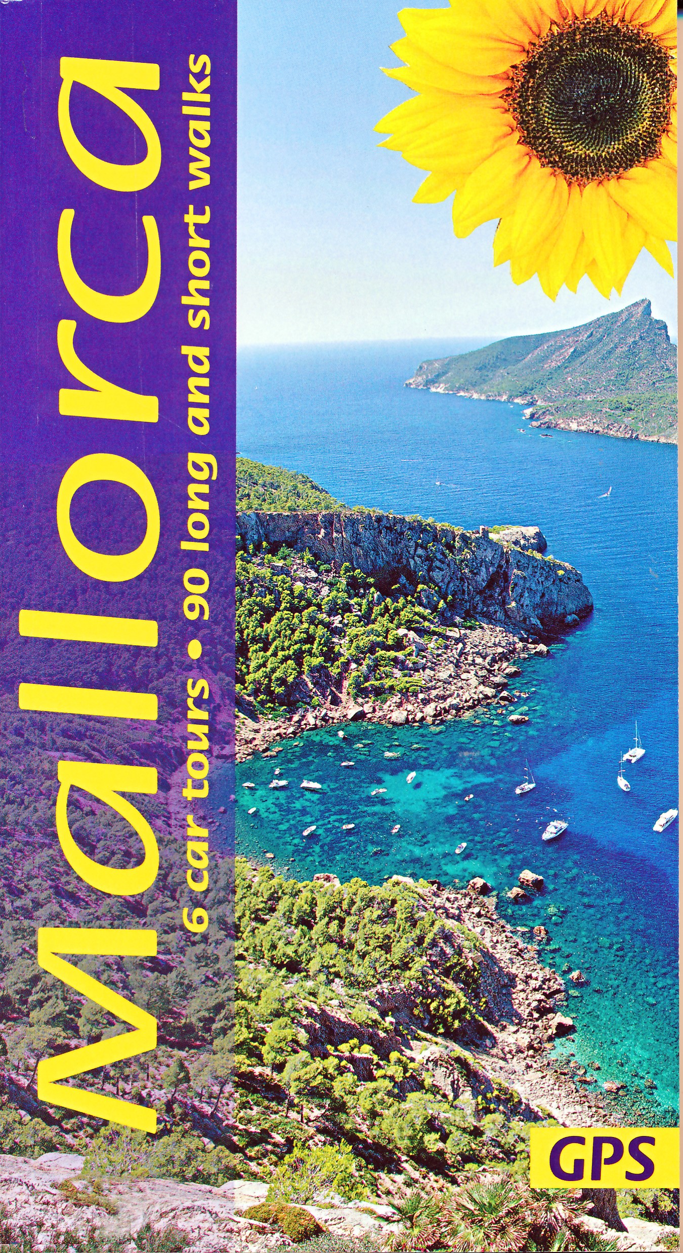
- Mallorca Guide: 90 long and short walks with detailed maps and GPS; 6 car tours with pull-out map
- The go-to Mallorca travel guide for over 30 years. Strap on your boots and discover Mallorca on foot with the Sunflower Mallorca travel guide. And on the days when your feet may have had enough, enjoy some spectacular scenery on one of our legendary car tours. The Sunflower Mallorca guide is indispensable for hiking in Mallorca or seeing... Read more
- Also available from:
- De Zwerver, Netherlands
De Zwerver
Netherlands
2022
Netherlands
2022
- Wandelgids Mallorca | Sunflower books
- The go-to Mallorca travel guide for over 30 years. Strap on your boots and discover Mallorca on foot with the Sunflower Mallorca travel guide. And on the days when your feet may have had enough, enjoy some spectacular scenery on one of our legendary car tours. The Sunflower Mallorca guide is indispensable for hiking in Mallorca or seeing... Read more
Bol.com
Netherlands
Netherlands
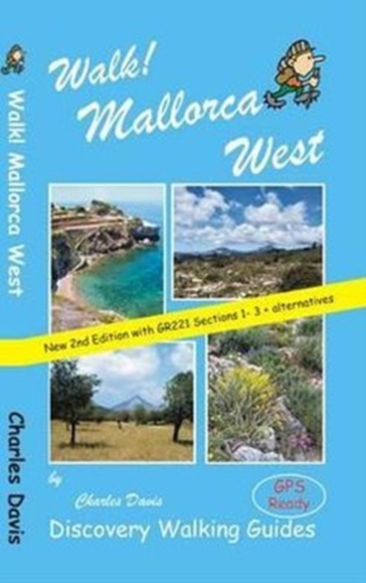
- Walk! Mallorca West
- Revised edition of Walk! Mallorca West incorporating updated and new routes from the GR221 Dry Stone Way ready for adventuring on foot in the western landscapes of Europe's most popular holiday walking destination. Now includes the opening sections of the GR221 'Ruta de Pedra en Sec' (Dry Stone Way) covering the route as far as Esporles plus... Read more
- Also available from:
- Bol.com, Belgium
Bol.com
Belgium
Belgium
- Walk! Mallorca West
- Revised edition of Walk! Mallorca West incorporating updated and new routes from the GR221 Dry Stone Way ready for adventuring on foot in the western landscapes of Europe's most popular holiday walking destination. Now includes the opening sections of the GR221 'Ruta de Pedra en Sec' (Dry Stone Way) covering the route as far as Esporles plus... Read more
De Zwerver
Netherlands
Netherlands
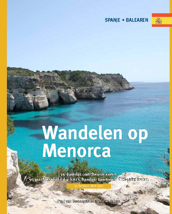
- Wandelgids Wandelen op Menorca | One Day Walks
- Menorca is één van de minst toeristische eilanden van de Balearen (Spanje). In deze eerste en enige Nederlandstalige wandelgids vind je 20 uitgebreid beschreven dagtochten en rondwandelingen van een paar uur. Met duidelijk omschreven routes, 70 prachtige full colour foto's van alle bezienswaardigheden, handige kaarten en GPS-coördinaten.... Read more
Bol.com
Netherlands
Netherlands
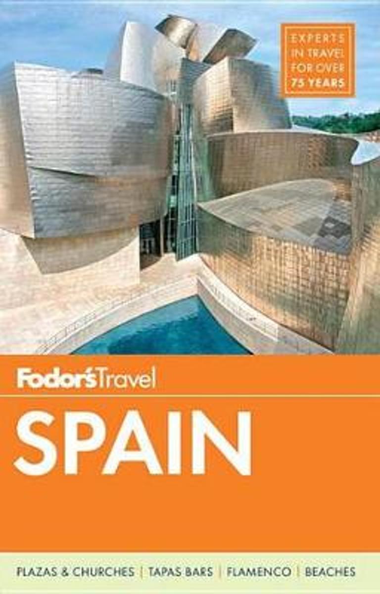
- Fodor's Spain 2015
- Written by locals, Fodor's travel guides have been offering expert advice for all tastes and budgets for 80 years. Spain remains one of the world's most popular tourist destinations for its cutting-edge cuisine and superior wine, festivals like the running of the bulls in Pamplona, world-class museums like the Museo del Prado, amazing... Read more
- Also available from:
- Bol.com, Belgium
Bol.com
Belgium
Belgium
- Fodor's Spain 2015
- Written by locals, Fodor's travel guides have been offering expert advice for all tastes and budgets for 80 years. Spain remains one of the world's most popular tourist destinations for its cutting-edge cuisine and superior wine, festivals like the running of the bulls in Pamplona, world-class museums like the Museo del Prado, amazing... Read more

Stanfords
United Kingdom
2022
United Kingdom
2022
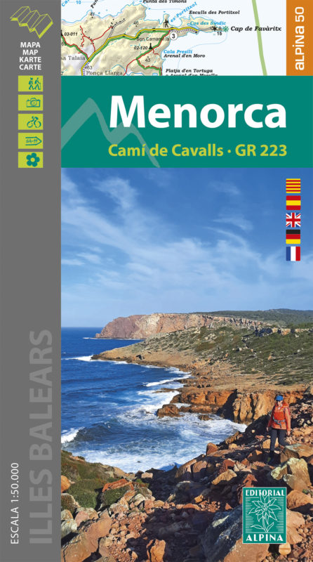
- Menorca - Camí de Cavalls - GR223 Editorial Alpina
- Menorca at 1:50,000 on a contoured, GPS compatible map from Editorial Alpina with a special overprint for the GR223 – Camí de Cavalls, a long-distance hiking path along the island’s coast, plus local trails, mountain bike routes, accommodation, sights, etc. Current edition of this title was published in May 2015.The map has contours at 20m... Read more
- Also available from:
- De Zwerver, Netherlands
Bol.com
Netherlands
Netherlands
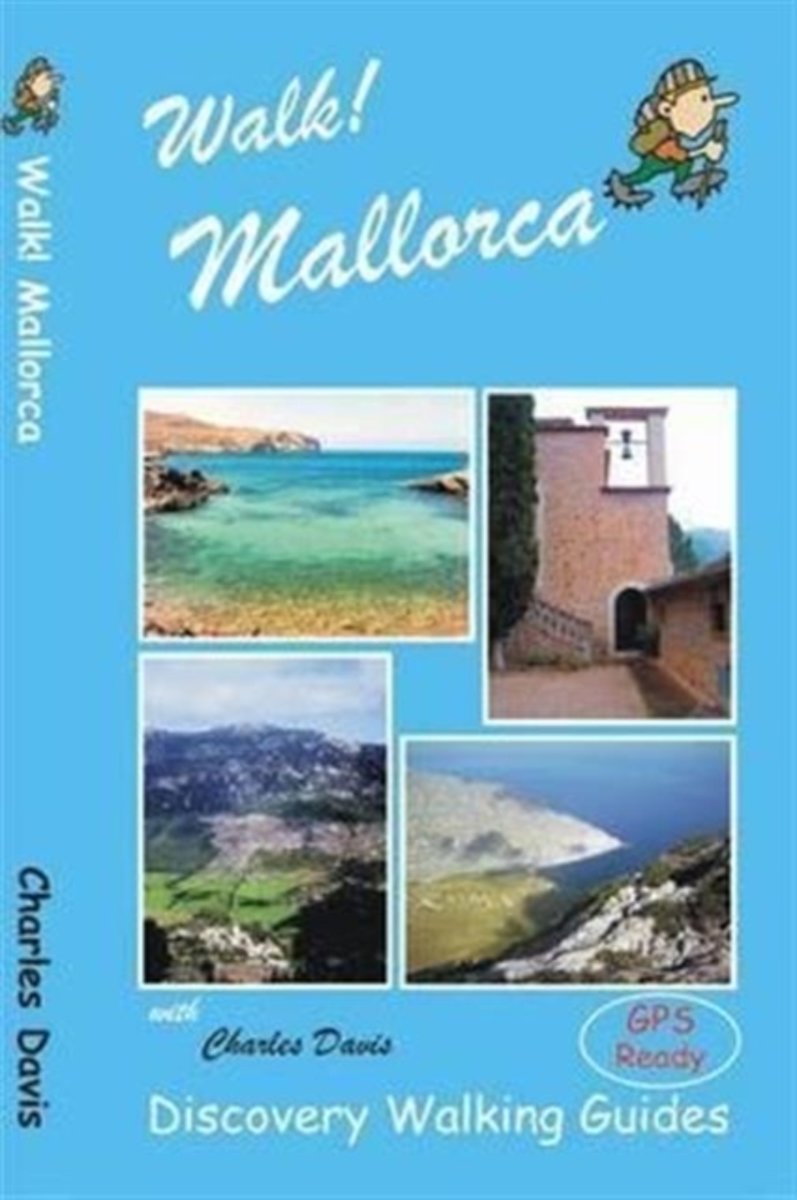
- Walk! Mallorca
- Looking for one Mallorca guide book that has all the walking adventures you could want? New for 2014 Walk! Mallorca is your choice. 53 fully detailed walking routes ranging from east strolls up to serious mountain hikes packed into 160 pages that you can fit into your pocket. At just GBP12.99 (or less) don't go to Mallorca without Walk!... Read more
- Also available from:
- Bol.com, Belgium
Bol.com
Belgium
Belgium
- Walk! Mallorca
- Looking for one Mallorca guide book that has all the walking adventures you could want? New for 2014 Walk! Mallorca is your choice. 53 fully detailed walking routes ranging from east strolls up to serious mountain hikes packed into 160 pages that you can fit into your pocket. At just GBP12.99 (or less) don't go to Mallorca without Walk!... Read more
Bol.com
Netherlands
Netherlands
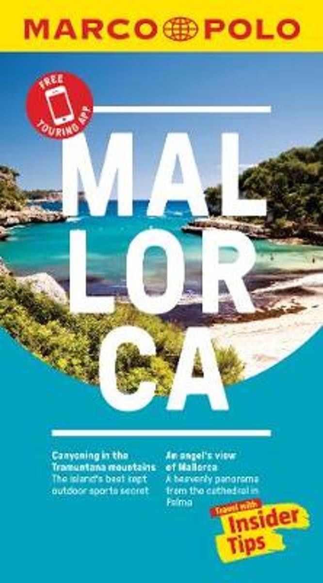
- Mallorca Marco Polo Pocket Travel Guide 2018 - with pull out map
- Marco Polo Pocket Guide Mallorca: the Travel Guide with Insider Tips. Explore Mallorca with this handy, pocket-sized, authoritative guide, packed with Insider Tips. Discover boutique hotels, authentic restaurants, the island's trendiest places, and get tips on shopping and what to do on a limited budget. There are plenty of ideas for travel... Read more
- Also available from:
- Bol.com, Belgium
Bol.com
Belgium
Belgium
- Mallorca Marco Polo Pocket Travel Guide 2018 - with pull out map
- Marco Polo Pocket Guide Mallorca: the Travel Guide with Insider Tips. Explore Mallorca with this handy, pocket-sized, authoritative guide, packed with Insider Tips. Discover boutique hotels, authentic restaurants, the island's trendiest places, and get tips on shopping and what to do on a limited budget. There are plenty of ideas for travel... Read more
More books…

Maps

Stanfords
United Kingdom
United Kingdom
- Santandria 25K Menorca CNIG Topographic Survey Map No. 646-I
- Topographic coverage of the Balearic Islands at 1:25,000 published by the Instituto Geográfico Nacional – Centro Nacional de Información Geografica, the country’s civilian survey organization. The maps have contours at 10m intervals and colouring and/or graphics to show different types of vegetation or land use. Boundaries of national parks and... Read more

Stanfords
United Kingdom
United Kingdom
- Son Parc CNIG Topo 619
- Topographic coverage of the Balearic Islands at 1:50,000 in the MTN50 (Mapa Topográfico Nacional) series from the Instituto Geográfico Nacional – Centro Nacional de Información Geografica, the country’s civilian survey organization. The maps have contours at 20m intervals, enhanced by relief shading, plus colouring and/or graphics to show... Read more
Stanfords
United Kingdom
United Kingdom
- S`Espalmador 25K Formentera CNIG Topographic Survey Map No. 824-II/825-I
- Topographic coverage of the Balearic Islands at 1:25,000 published by the Instituto Geográfico Nacional – Centro Nacional de Información Geografica, the country’s civilian survey organization. The maps have contours at 10m intervals and colouring and/or graphics to show different types of vegetation or land use. Boundaries of national parks and... Read more
Stanfords
United Kingdom
United Kingdom
- Serra de Tramuntana Editorial Alpina 4-Map Set
- Mallorca’s Serra de Tramuntana mountains presented by Editorial Alpina at 1:25,000 on a set of two light, waterproof and tear-resistant, contoured and GPS compatible, double-sided maps with an overprint for local hiking trails, GR221 long-distance route, sites for various outdoor activities, accommodation options, etc. Coverage extends from... Read more
Stanfords
United Kingdom
United Kingdom
- Colonia de Saint Pere 25K Mallorca CNIG Topographic Survey Map No. 672-III
- Topographic coverage of the Balearic Islands at 1:25,000 published by the Instituto Geográfico Nacional – Centro Nacional de Información Geografica, the country’s civilian survey organization. The maps have contours at 10m intervals and colouring and/or graphics to show different types of vegetation or land use. Boundaries of national parks and... Read more
Stanfords
United Kingdom
United Kingdom
- Cap Blanc 25K Mallorca CNIG Topographic Survey Map No. 723-IV
- Topographic coverage of the Balearic Islands at 1:25,000 published by the Instituto Geográfico Nacional – Centro Nacional de Información Geografica, the country’s civilian survey organization. The maps have contours at 10m intervals and colouring and/or graphics to show different types of vegetation or land use. Boundaries of national parks and... Read more
Stanfords
United Kingdom
United Kingdom
- Alqueria Blanca 25K Mallorca CNIG Topographic Survey Map No. 725-III
- Topographic coverage of the Balearic Islands at 1:25,000 published by the Instituto Geográfico Nacional – Centro Nacional de Información Geografica, the country’s civilian survey organization. The maps have contours at 10m intervals and colouring and/or graphics to show different types of vegetation or land use. Boundaries of national parks and... Read more
Stanfords
United Kingdom
United Kingdom
- Santa Eularia des Riu CNIG Topo 799
- Topographic coverage of the Balearic Islands at 1:50,000 in the MTN50 (Mapa Topográfico Nacional) series from the Instituto Geográfico Nacional – Centro Nacional de Información Geografica, the country’s civilian survey organization. The maps have contours at 20m intervals, enhanced by relief shading, plus colouring and/or graphics to show... Read more
Stanfords
United Kingdom
United Kingdom
- Sa Rapita CNIG 25K Topographic Map 724-3
- Topographic coverage of the Balearic Islands at 1:25,000 published by the Instituto Geográfico Nacional – Centro Nacional de Información Geografica, the country’s civilian survey organization. The maps have contours at 10m intervals and colouring and/or graphics to show different types of vegetation or land use. Boundaries of national parks and... Read more
Stanfords
United Kingdom
United Kingdom
- Porreres 25K Mallorca CNIG Topographic Survey Map No. 699-IV
- Topographic coverage of the Balearic Islands at 1:25,000 published by the Instituto Geográfico Nacional – Centro Nacional de Información Geografica, the country’s civilian survey organization. The maps have contours at 10m intervals and colouring and/or graphics to show different types of vegetation or land use. Boundaries of national parks and... Read more
Stanfords
United Kingdom
United Kingdom
- Cap de Formentor CNIG Topo 645
- Topographic coverage of the Balearic Islands at 1:50,000 in the MTN50 (Mapa Topográfico Nacional) series from the Instituto Geográfico Nacional – Centro Nacional de Información Geografica, the country’s civilian survey organization. The maps have contours at 20m intervals, enhanced by relief shading, plus colouring and/or graphics to show... Read more
Stanfords
United Kingdom
United Kingdom
- Porto Cristo CNIG Topographic Map 700-4
- Topographic coverage of the Balearic Islands at 1:25,000 published by the Instituto Geográfico Nacional – Centro Nacional de Información Geografica, the country’s civilian survey organization. The maps have contours at 10m intervals and colouring and/or graphics to show different types of vegetation or land use. Boundaries of national parks and... Read more
Stanfords
United Kingdom
United Kingdom
- Alaior 25K Menorca CNIG Topographic Survey Map No. 646-II
- Topographic coverage of the Balearic Islands at 1:25,000 published by the Instituto Geográfico Nacional – Centro Nacional de Información Geografica, the country’s civilian survey organization. The maps have contours at 10m intervals and colouring and/or graphics to show different types of vegetation or land use. Boundaries of national parks and... Read more
Stanfords
United Kingdom
United Kingdom
- Alaior CNIG Topo 646
- Topographic coverage of the Balearic Islands at 1:50,000 in the MTN50 (Mapa Topográfico Nacional) series from the Instituto Geográfico Nacional – Centro Nacional de Información Geografica, the country’s civilian survey organization. The maps have contours at 20m intervals, enhanced by relief shading, plus colouring and/or graphics to show... Read more
Stanfords
United Kingdom
United Kingdom
- Sant Francesc de Formentera 25K CNIG Topographic Survey Map No. 824-IV/849-II
- Topographic coverage of the Balearic Islands at 1:25,000 published by the Instituto Geográfico Nacional – Centro Nacional de Información Geografica, the country’s civilian survey organization. The maps have contours at 10m intervals and colouring and/or graphics to show different types of vegetation or land use. Boundaries of national parks and... Read more