
Bodmin Moor
Description
Granite moorland in Cornwall. The Copper Trail circumnavigates the moor.
Trails in this region
Links
Facts
Reports
Guides and maps
Lodging
Organisations
Tour operators
GPS
Other
Books


Stanfords
United Kingdom
United Kingdom
- Short Walks Exmoor: Leisure Walks for All Ages
- Exmoor consists of wide expanses of heather and rich woodland all of which are greatly enhanced by its varied wildlife. It has the West Country`s largest population of red deer, which frequent its woodland and moors and yet it remains less visited and less popular than the two other great uplands of south-west England - Dartmoor and Bodmin... Read more
- Also available from:
- The Book Depository, United Kingdom


Stanfords
United Kingdom
2019
United Kingdom
2019
- Offa`s Dyke Path: Prestatyn To Chepstow
- The Offa`s Dyke Path is a magnificent National Trail that runs from the North Wales coast to the Severn Estuary following the line of Offa`s Dyke, an impressive 8th century earthwork along the English/Welsh border. The ever-changing landscape - the Wye Valley, the Black Mountains, the Shropshire Hills and the Clwydian Hills - is steeped in... Read more
- Also available from:
- The Book Depository, United Kingdom
- De Zwerver, Netherlands

The Book Depository
United Kingdom
2019
United Kingdom
2019
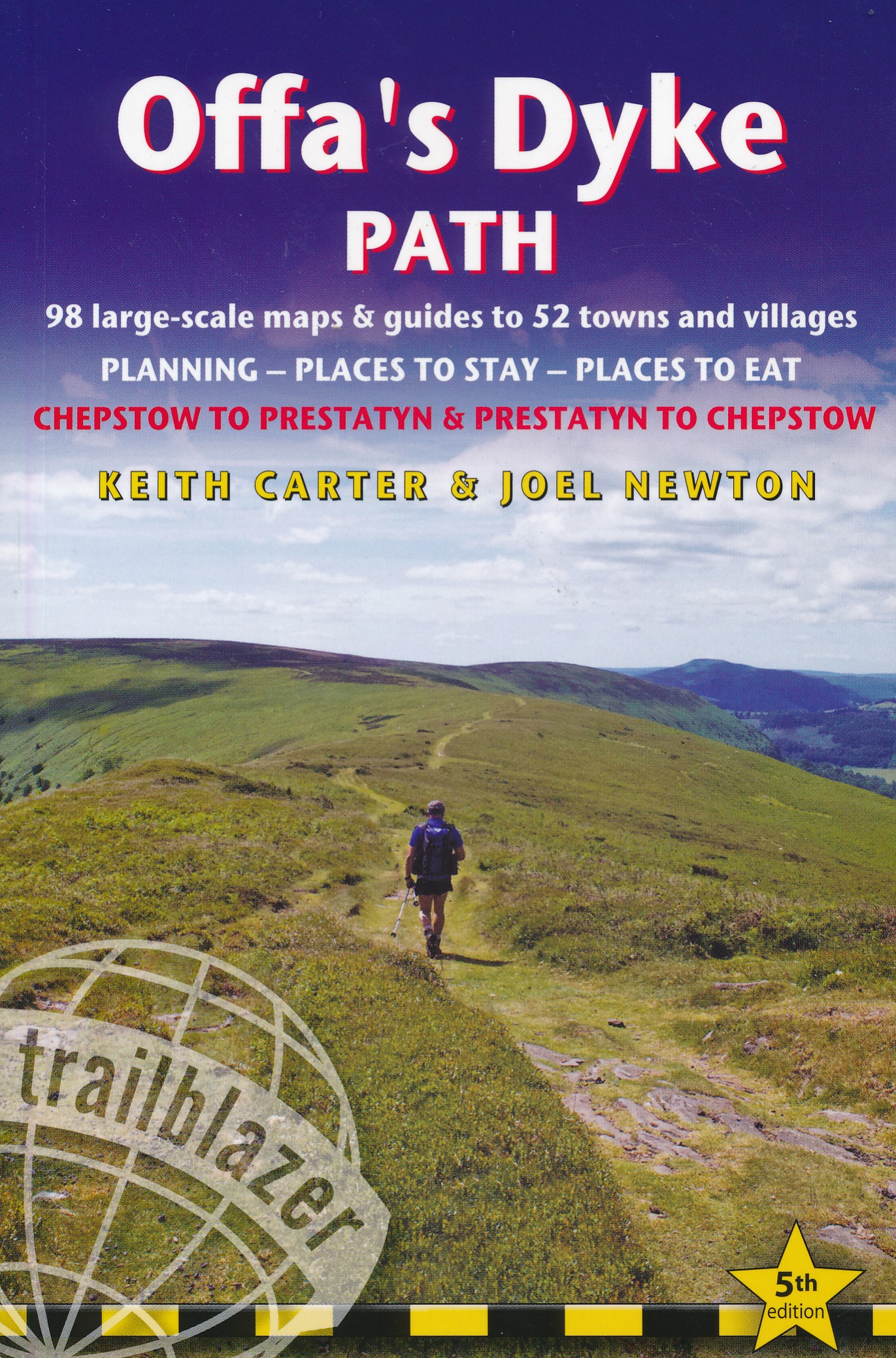
- Offa's Dyke Path (Trailblazer British Walking Guides) 2019
- Chepstow To Prestatyn & Prestatyn To Chepstow, Planning, Places to Stay, Places to Eat, 98 large-scale maps & guides to 52 towns and villages (Trailblazer British Walking Guides) Read more
De Zwerver
Netherlands
2019
Netherlands
2019
- Wandelgids Offa's Dyke Path | Trailblazer Guides
- The Offa`s Dyke Path is a magnificent National Trail that runs from the North Wales coast to the Severn Estuary following the line of Offa`s Dyke, an impressive 8th century earthwork along the English/Welsh border. The ever-changing landscape - the Wye Valley, the Black Mountains, the Shropshire Hills and the Clwydian Hills - is steeped in... Read more

Stanfords
United Kingdom
United Kingdom
- Short Walks in Cornwall
- A practical little walk guide to Cornwall endorsed by the Ramblers. All of the 20 walks are 5 miles or under in length and can easily be completed in less than 3 hours. Clear Ordnance Survey maps show the route, along with easy-to-follow walk descriptions. Cornwall forms the tip of the south-west peninsula of the island of Great Britain. The... Read more
- Also available from:
- The Book Depository, United Kingdom


Stanfords
United Kingdom
United Kingdom
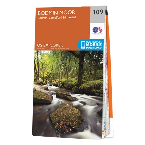
- Bodmin Moor - Bodmin, Camelford & Liskeard OS Explorer Active Map 109 (waterproof)
- Bodmin Moor, Bodmin, Camelford and Liskeard area on a detailed topographic and GPS compatible map No. 109, waterproof version, from the Ordnance Survey’s 1:25,000 Explorer series.MOBILE DOWNLOADS: this title and all the other OS Explorer maps include a code for downloading after purchase the digital version onto your smartphone or tablet for... Read more
- Also available from:
- The Book Depository, United Kingdom


The Book Depository
United Kingdom
United Kingdom
- A Boot Up Bodmin Moor and Around
- 10 Leisure Walks Fo Discovery Read more

Stanfords
United Kingdom
2015
United Kingdom
2015
- Bodmin Moor - Bodmin, Camelford & Liskeard OS Explorer Map 109 (paper)
- Bodmin Moor, Bodmin, Camelford and Liskeard area on a detailed topographic and GPS compatible map No. 109, paper version, from the Ordnance Survey’s 1:25,000 Explorer series.MOBILE DOWNLOADS: this title and all the other OS Explorer maps include a code for downloading after purchase the digital version onto your smartphone or tablet for viewing... Read more
- Also available from:
- The Book Depository, United Kingdom
- De Zwerver, Netherlands

De Zwerver
Netherlands
2015
Netherlands
2015
Bol.com
Netherlands
Netherlands
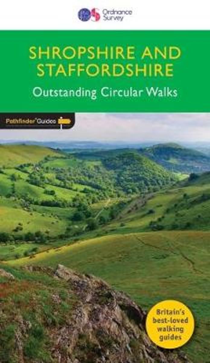
- SHROPSHIRE & STAFFORDSHIRE
- Britain's best loved walking guides brings you a brand new Pathfinder (R) Guide to Shropshire & Staffordshire Walks containing 28 fabulous walks exploring the unspoilt rural landscapes of Shropshire and Staffordshire from the Welsh borders to the fringes of the Peak District, and from the mosses and meres near the Cheshire border to Cannock... Read more
- Also available from:
- Bol.com, Belgium
Bol.com
Belgium
Belgium
- SHROPSHIRE & STAFFORDSHIRE
- Britain's best loved walking guides brings you a brand new Pathfinder (R) Guide to Shropshire & Staffordshire Walks containing 28 fabulous walks exploring the unspoilt rural landscapes of Shropshire and Staffordshire from the Welsh borders to the fringes of the Peak District, and from the mosses and meres near the Cheshire border to Cannock... Read more
Bol.com
Netherlands
2013
Netherlands
2013
- Offa's Dyke Path
- The Offas Dyke Path, a 177 mile National Trail, runs along the England / Wales border between Chepstow and Prestatyn. The main route is described in this guide in 15 stages, as are alternative routes which visit places of interest or detour to accommodation, as well as planning information to create flexible itineraries. The route - fully... Read more
- Also available from:
- Bol.com, Belgium
Bol.com
Belgium
2013
Belgium
2013
- Offa's Dyke Path
- The Offas Dyke Path, a 177 mile National Trail, runs along the England / Wales border between Chepstow and Prestatyn. The main route is described in this guide in 15 stages, as are alternative routes which visit places of interest or detour to accommodation, as well as planning information to create flexible itineraries. The route - fully... Read more
Bol.com
Netherlands
Netherlands
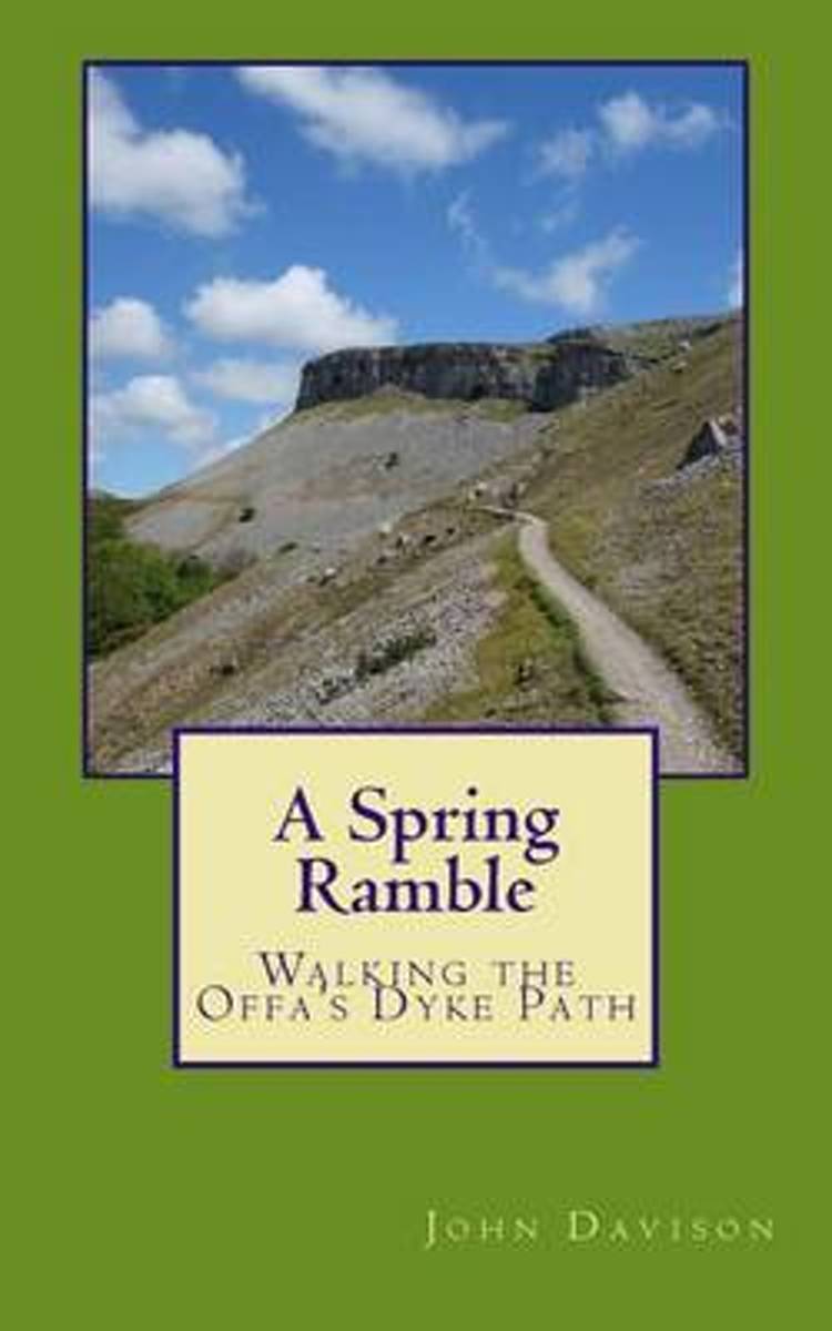
- A Spring Ramble
- Offa s Dyke. The border between England and Wales. The most impressive monument of its kind in Europe, now a national walking trail. 1,200 years old and 177 miles long. More ascent than Everest. The present-day peace and tranquillity of this beautiful, remote area belie its turbulent past. Follow the walk from sea to sea, past castles,... Read more
- Also available from:
- Bol.com, Belgium
Bol.com
Belgium
Belgium
- A Spring Ramble
- Offa s Dyke. The border between England and Wales. The most impressive monument of its kind in Europe, now a national walking trail. 1,200 years old and 177 miles long. More ascent than Everest. The present-day peace and tranquillity of this beautiful, remote area belie its turbulent past. Follow the walk from sea to sea, past castles,... Read more

Stanfords
United Kingdom
2013
United Kingdom
2013
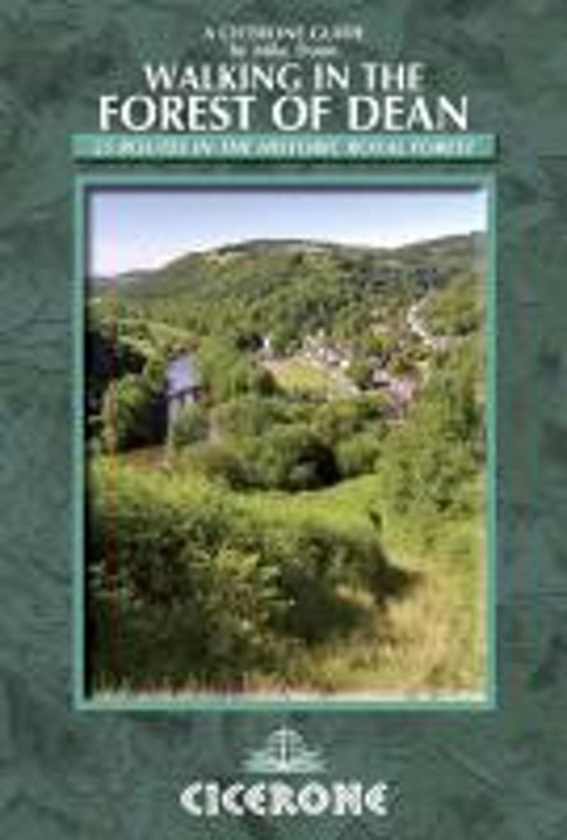
- Walking in the Forest of Dean
- Mike Dunn’s Cicerone guide to Walking in the Forest of Dean illustrates 25 walks in the historic royal forest, featuring detailed instructions, OS map extracts and colour photographs.An introduction presents the history, geology and landscape, plants and wildlife of the forest, area of outstanding natural beauty that borders England and South... Read more
- Also available from:
- The Book Depository, United Kingdom
- Bol.com, Netherlands
- Bol.com, Belgium

The Book Depository
United Kingdom
2013
United Kingdom
2013
- Walking in the Forest of Dean
- 25 routes in the historic Royal Forest Read more
Bol.com
Netherlands
2013
Netherlands
2013
- Walking in the Forest of Dean
- A walking guidebook to the Forest of Dean Area of Outstanding Natural Beauty. From short walks of 4 miles to all-day sections of long-distance routes such as the Offa's Dyke path and the Gloucestershire Way, the 25 walks in this guidebook gives you the information needed to enjoy a wide range of walking among the rolling countryside of the... Read more
Bol.com
Belgium
2013
Belgium
2013
- Walking in the Forest of Dean
- A walking guidebook to the Forest of Dean Area of Outstanding Natural Beauty. From short walks of 4 miles to all-day sections of long-distance routes such as the Offa's Dyke path and the Gloucestershire Way, the 25 walks in this guidebook gives you the information needed to enjoy a wide range of walking among the rolling countryside of the... Read more

Stanfords
United Kingdom
2016
United Kingdom
2016
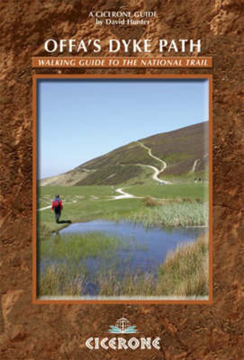
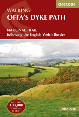
- Offa`s Dyke Path
- This guidebook describes Offa`s Dyke Path National Trail, following the longest linear earthwork in Britain, running 177 miles along the English-Welsh border between Sedbury (near Chepstow) and Prestatyn on the north Wales Coast, linking the Severn Estuary and the Irish Sea, contouring above the Wye and Dee, visiting hillforts and Norman... Read more
- Also available from:
- The Book Depository, United Kingdom
- Bol.com, Netherlands
- Bol.com, Belgium
- De Zwerver, Netherlands

The Book Depository
United Kingdom
2016
United Kingdom
2016
- Offa's Dyke Path
- National Trail following the English-Welsh Border Read more
Bol.com
Netherlands
2016
Netherlands
2016
- Offa's Dyke Path
- This guidebook describes Offa's Dyke Path National Trail, following the longest linear earthwork in Britain, running 177 miles along the English-Welsh border between Sedbury (near Chepstow) and Prestatyn on the north Wales Coast, linking the Severn Estuary and the Irish Sea, contouring above the Wye and Dee, visiting hillforts and Norman... Read more
Bol.com
Belgium
2016
Belgium
2016
- Offa's Dyke Path
- This guidebook describes Offa's Dyke Path National Trail, following the longest linear earthwork in Britain, running 177 miles along the English-Welsh border between Sedbury (near Chepstow) and Prestatyn on the north Wales Coast, linking the Severn Estuary and the Irish Sea, contouring above the Wye and Dee, visiting hillforts and Norman... Read more
De Zwerver
Netherlands
2021
Netherlands
2021
- Wandelgids The Offa's Dyke Path - Wales | Cicerone
- This guidebook describes Offa's Dyke Path National Trail, a 177-mile long-distance walk along the English-Welsh border between Sedbury (near Chepstow) and Prestatyn. The guidebook is split into 12 stages with suggestions for planning alternative itineraries. With 1:25K OS map booklet. Read more
Bol.com
Netherlands
Netherlands
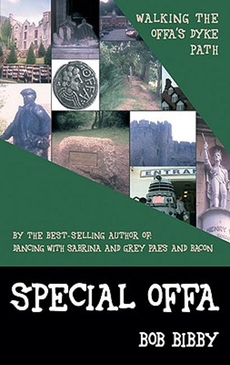
- Special Offa
- Bob Bibby is on his travels again, this time following the line of that mighty earthwork that stretches 177 miles ''from sea to sea'' along the old border between England and Wales?Offa's Dyke, built by the very first self-styled King of the Angles, the fearsome 8th century King Offa. Join Bob on an extended pub crawl as he walks the... Read more
- Also available from:
- Bol.com, Belgium
Bol.com
Belgium
Belgium
- Special Offa
- Bob Bibby is on his travels again, this time following the line of that mighty earthwork that stretches 177 miles ''from sea to sea'' along the old border between England and Wales?Offa's Dyke, built by the very first self-styled King of the Angles, the fearsome 8th century King Offa. Join Bob on an extended pub crawl as he walks the... Read more

The Book Depository
United Kingdom
2014
United Kingdom
2014
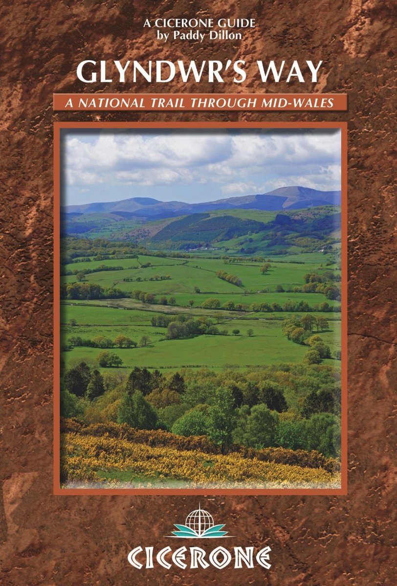
- Glyndwr's Way
- Guidebook to Glyndwr's Way, a mid-Wales long-distance National Trail of 135 miles taking 9 days to walk, and 2 days (and 29 miles) to complete the loop down the Offa's Dyke Path to create a circular trail. It loops west from Knighton via Machynlleth to Welshpool and covers quiet hills, forests and rolling countryside. Read more
- Also available from:
- Bol.com, Netherlands
- Bol.com, Belgium
Bol.com
Netherlands
2014
Netherlands
2014
- Glyndwr's Way
- A complete guide to walking Glyndwr's Way National Trail. This guidebook divides the 135 mile trail into nine day stages, starting at Knighton and ending at Welshpool. After day 4 there is an optional ascent of Pumlimon Fawr, which will require an extra day. Days 10 and 11 follow the Offa's Dyke Path National Trail for those who prefer a... Read more
Bol.com
Belgium
2014
Belgium
2014
- Glyndwr's Way
- A complete guide to walking Glyndwr's Way National Trail. This guidebook divides the 135 mile trail into nine day stages, starting at Knighton and ending at Welshpool. After day 4 there is an optional ascent of Pumlimon Fawr, which will require an extra day. Days 10 and 11 follow the Offa's Dyke Path National Trail for those who prefer a... Read more

Stanfords
United Kingdom
2016
United Kingdom
2016
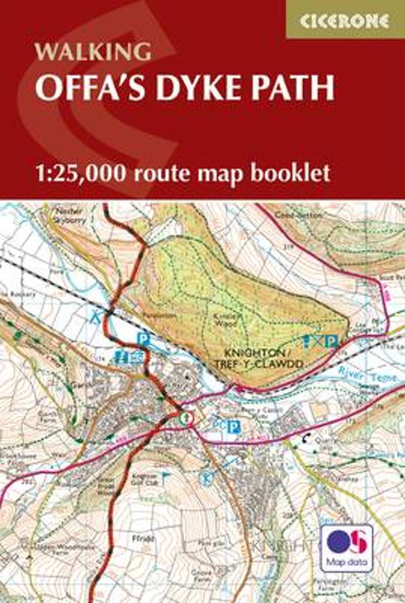
- Offa`s Dyke Path Cicerone Map Booklet
- Offa’s Dyke Path National Trail on mapping at 1:25,000 from the Ordnance Survey’s Explorer series in a pocket-size booklet from Cicerone Press. The 285km / 177-mile trail between Chepstow and Prestatyn is presented with a route profile, plus summaries for each section showing GPS coordinates for the start and finish, distance and approximate... Read more
- Also available from:
- Bol.com, Netherlands
- Bol.com, Belgium
- De Zwerver, Netherlands
Bol.com
Netherlands
2016
Netherlands
2016
- Offa's Dyke Map Booklet
- All the mapping you need to walk the Offa's Dyke Path National Trail that runs for 177 miles along the English-Welsh border between Sedbury (near Chepstow) and Prestatyn on the north Wales Coast. NOTE An accompanying Cicerone guidebook - Offa's Dyke Path - describes the full route from south to north with lots of other practical and historical... Read more
Bol.com
Belgium
2016
Belgium
2016
- Offa's Dyke Map Booklet
- All the mapping you need to walk the Offa's Dyke Path National Trail that runs for 177 miles along the English-Welsh border between Sedbury (near Chepstow) and Prestatyn on the north Wales Coast. NOTE An accompanying Cicerone guidebook - Offa's Dyke Path - describes the full route from south to north with lots of other practical and historical... Read more
De Zwerver
Netherlands
2016
Netherlands
2016
- Wandelkaart Offa's Dyke Path - Wales | Cicerone
- Map of the 177-mile (283km) Offa's Dyke Path National Trail, between Sedbury (nr Chepstow) and Prestatyn. The trail takes a fortnight to walk, and is suitable for walkers at all levels of experience. This compact booklet of Ordnance Survey 1:25,000 maps shows the full route, providing all of the mapping you need to complete the trail. Read more
Maps

Stanfords
United Kingdom
United Kingdom
- Plymouth and Launceston 1919
- Map No. 201, Plymouth and Launceston 1919, in the Cassini Historical Series of old Ordnance Survey mapping of England and Wales at 1:50,000 in a format designed to offer a convenient comparison with the present day coverage from the OS, and most locations in three different editions. Old historical maps have been combined so that the sheet... Read more
Stanfords
United Kingdom
United Kingdom
- Newquay and Bodmin 1900
- Map No. 200, Newquay and Bodmin 1900, in the Cassini Historical Series of old Ordnance Survey mapping of England and Wales at 1:50,000 in a format designed to offer a convenient comparison with the present day coverage from the OS, and most locations in three different editions. Old historical maps have been combined so that the sheet lines... Read more
Stanfords
United Kingdom
United Kingdom
- Plymouth and Launceston 1899-1900
- Map No. 201, Plymouth and Launceston 1899-1900, in the Cassini Historical Series of old Ordnance Survey mapping of England and Wales at 1:50,000 in a format designed to offer a convenient comparison with the present day coverage from the OS, and most locations in three different editions. Old historical maps have been combined so that the sheet... Read more
Stanfords
United Kingdom
United Kingdom
- Newquay and Bodmin 1813-1919 (3-map set)
- Map No. 200, Newquay and Bodmin 1813-1919 (3-map set), in the Cassini Historical Series of old Ordnance Survey mapping of England and Wales at 1:50,000 in a format designed to offer a convenient comparison with the present day coverage from the OS, and most locations in three different editions. Old historical maps have been combined so that... Read more
Stanfords
United Kingdom
United Kingdom
- Plymouth and Launceston 1809-1919 (3-map set)
- Map No. 201, Plymouth and Launceston 1809-1919 (3-map set), in the Cassini Historical Series of old Ordnance Survey mapping of England and Wales at 1:50,000 in a format designed to offer a convenient comparison with the present day coverage from the OS, and most locations in three different editions. Old historical maps have been combined so... Read more
Stanfords
United Kingdom
United Kingdom
- Newquay and Bodmin 1813
- Map No. 200, Newquay and Bodmin 1813, in the Cassini Historical Series of old Ordnance Survey mapping of England and Wales at 1:50,000 in a format designed to offer a convenient comparison with the present day coverage from the OS, and most locations in three different editions. Old historical maps have been combined so that the sheet lines... Read more
Stanfords
United Kingdom
United Kingdom
- Plymouth and Launceston 1809-1813
- Map No. 201, Plymouth and Launceston 1809-1813, in the Cassini Historical Series of old Ordnance Survey mapping of England and Wales at 1:50,000 in a format designed to offer a convenient comparison with the present day coverage from the OS, and most locations in three different editions. Old historical maps have been combined so that the sheet... Read more
Stanfords
United Kingdom
United Kingdom
- Newquay and Bodmin 1919
- Map No. 200, Newquay and Bodmin 1919, in the Cassini Historical Series of old Ordnance Survey mapping of England and Wales at 1:50,000 in a format designed to offer a convenient comparison with the present day coverage from the OS, and most locations in three different editions. Old historical maps have been combined so that the sheet lines... Read more

- Also available from:
- De Zwerver, Netherlands


Bol.com
Netherlands
Netherlands
- Offa's Dyke Path South
- Wandelkaart van het Zuidelijk deel van Offa's Dyke Path met uitsnedes van de route. Offa's Dyke Path is a National Trail. It runs along the border between Wales and England. Offa was a famous king of Mercia from 757 to 796, ruling an area stretching across a large part of England. Offa's Dyke Path runs from sea to sea - the Severn... Read more
- Also available from:
- Bol.com, Belgium
Bol.com
Belgium
Belgium
- Offa's Dyke Path South
- Wandelkaart van het Zuidelijk deel van Offa's Dyke Path met uitsnedes van de route. Offa's Dyke Path is a National Trail. It runs along the border between Wales and England. Offa was a famous king of Mercia from 757 to 796, ruling an area stretching across a large part of England. Offa's Dyke Path runs from sea to sea - the Severn... Read more