
Cumbria
Description
County in northwestern England. The Lake District lies in Cumbria, as well as English highest mountain, Scafell (978 m). Cumbria is great for walking.
Trails in this region
Links
Facts
Reports
Guides and maps
Lodging
Organisations
Tour operators
GPS
Other
Books

Stanfords
United Kingdom
United Kingdom
- Arnside & Lunesdale: Short Scenic Walks
- This brand new title is one of two concurrent additions to the updated series of Paul Hannon`s `Short Scenic Walks` guidebooks. The principle feature is that all walks are less than five miles in length, offering a perfect half day`s stroll for families, casual walkers and all who want to enjoy a leisurely exploration of Britain`s outstanding... Read more

Stanfords
United Kingdom
United Kingdom
- Cumbria & the Lake District - Drive & Stroll
- On a fine day, there`s nothing quite like a drive to the country, followed by a leisurely walk and a hearty meal in a good local pub or cafe. This book contains a collection of 20 walks in Cumbria and the Lake District to help you do just that.HIGHLIGHTS INCLUDE:A gentle riverside ramble near Langwathby; The fellsides and rich woodland around... Read more

Stanfords
United Kingdom
2020
United Kingdom
2020
- Hadrian`s Wall Path
- Trailblazer British Walking Guide, two-way edition with routes re-walked from Bowness-on-Solway to Wallsend (Newcastle) and Wallsend (Newcastle) to Bowness-on-Solway. All-in-one guide to walking Hadrian`s Wall Path National Trail. Hadrian`s Wall Path, 84 miles from end to end, follows the course of northern Europe`s largest surviving Roman... Read more

Stanfords
United Kingdom
United Kingdom
- English Lakes North Western - Keswick, Cockermouth & Wigton OS Explorer Active Map OL4 (waterproof)
- The north-western area of the Lake District on a detailed topographic and GPS compatible map OL4, waterproof version, from the Ordnance Survey’s 1:25,000 Explorer series. Coverage includes Keswick, Cockermouth, Buttermere, Ennerdale Bridge, Wigton, Bassenthwaite Lake, Derwent Water, Crummock Water, the Solway Coast between Maryport and... Read more

Stanfords
United Kingdom
2017
United Kingdom
2017
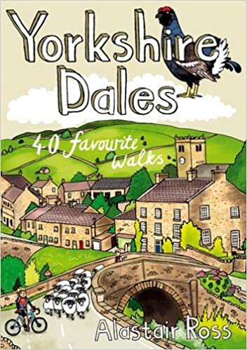
- Yorkshire Dales: 40 Favourite Walks
- The Yorkshire Dales combine a wild limestone landscape of high rolling moorland gouged by dramatic caves and cascading waterfalls with peaceful farmland carpeted in wildflowers and dotted with ruined abbeys, ancient stone walls and barns, and timeless villages waiting to be discovered.The 40 moderate walks in this collection from award winning... Read more
- Also available from:
- The Book Depository, United Kingdom
- De Zwerver, Netherlands

De Zwerver
Netherlands
2017
Netherlands
2017
- Wandelgids Yorkshire Dales | Pocket Mountains
- The Yorkshire Dales combine a wild limestone landscape of high rolling moorland gouged by dramatic caves and cascading waterfalls with peaceful farmland carpeted in wildflowers and dotted with ruined abbeys, ancient stone walls and barns, and timeless villages waiting to be discovered.The 40 moderate walks in this collection from award winning... Read more

Stanfords
United Kingdom
2018
United Kingdom
2018
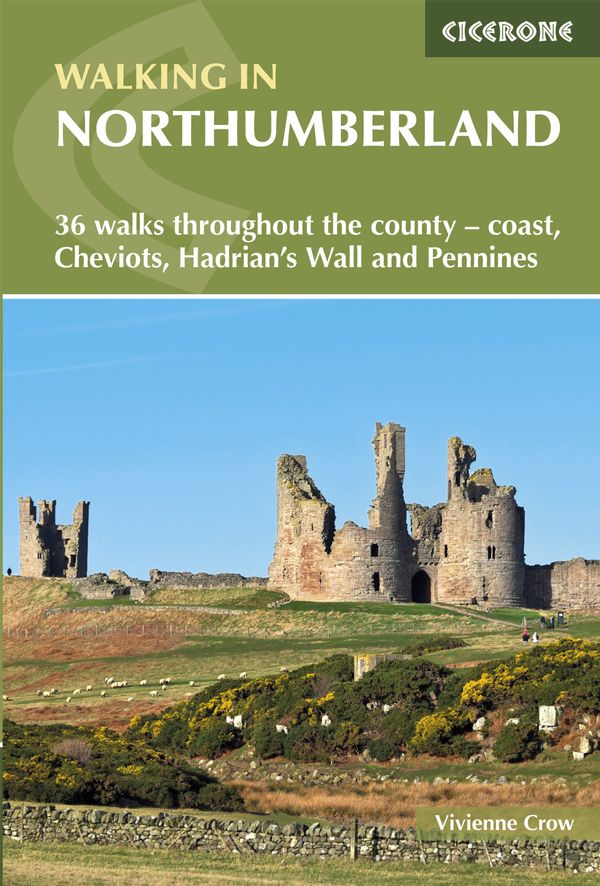
- Walking in Northumberland: 36 walks throughout the national park - coast, Cheviots, Hadrian`s Wall and Pennines
- The book comprises 36 short walking routes between 4 and 14 miles in Northumberland, England`s most sparsely populated county. Ranging from easy ambles and gentle woodland trails to long days on the hills, there is something for all types of walker - and all types of weather. Taking in the beautiful coast with its immense, empty beaches and... Read more
- Also available from:
- The Book Depository, United Kingdom
- De Zwerver, Netherlands

The Book Depository
United Kingdom
2018
United Kingdom
2018
- Walking in Northumberland
- 36 walks throughout the county - coast, Cheviots, Hadrian's Wall and Pennines Read more
De Zwerver
Netherlands
2018
Netherlands
2018
- Wandelgids Walking in Northumberland | Cicerone
- Guidebook to walking in Northumberland. 36 graded walks of 4 to 14 miles, from the beautiful coast with its immense, empty beaches and dramatic, crag-top castles to the remote hills of the Cheviots and Pennines. Includes Hadrian's Wall, Lindisfarne Priory, Kielder, Berwick, Bamburgh and Dunstanburgh Castles and more. Read more
- Also available from:
- De Zwerver, Netherlands
De Zwerver
Netherlands
2015
Netherlands
2015


The Book Depository
United Kingdom
2022
United Kingdom
2022
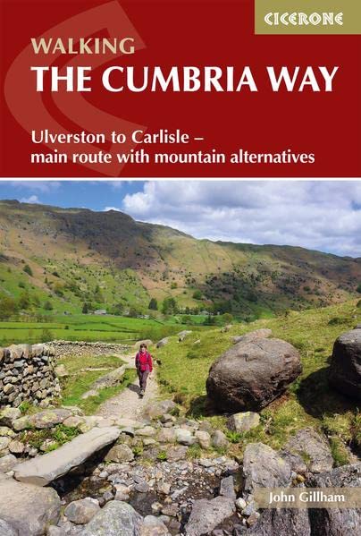
- Walking The Cumbria Way
- Ulverston to Carlisle - main route with mountain alternatives Read more
- Also available from:
- De Zwerver, Netherlands
De Zwerver
Netherlands
2022
Netherlands
2022
- Wandelgids The Cumbria Way | Cicerone
- Ulverston to Carlisle - main route with mountain alternatives Read more

The Book Depository
United Kingdom
2011
United Kingdom
2011
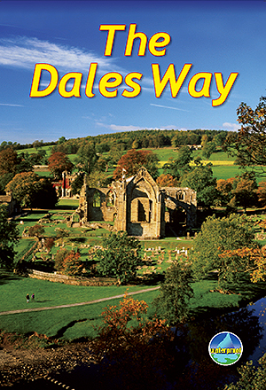
- The Dales Way
- This guidebook has all that a walker needs: concise, up-to-date directions for the main Way and Bradford Link background on geology, railway heritage, farming and wildlife side-trips to heritage centres and a feature on Bolton Priory contact details for accommodation and transport dropdown route map (1:110,000) over 70 glorious colour photos... Read more
- Also available from:
- De Zwerver, Netherlands
De Zwerver
Netherlands
2011
Netherlands
2011
- Wandelgids The Dales Way | Rucksack Readers
- This guidebook has all that a walker needs: concise, up-to-date directions for the main Way and Bradford Link background on geology, railway heritage, farming and wildlife side-trips to heritage centres and a feature on Bolton Priory contact details for accommodation and transport dropdown route map (1:110,000) over 70 glorious colour photos... Read more

Stanfords
United Kingdom
2021
United Kingdom
2021
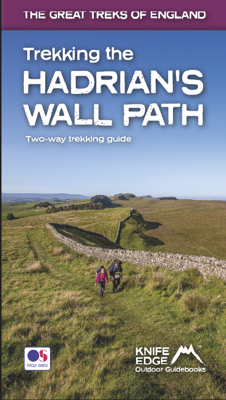
- Trekking the Hadrian`s Wall Path (National Trail Guidebook with OS 1:25k maps): Two-way guidebook: described east-west and west-east
- Hadrian`s Wall was one of the Romans` most ambitious structures. When completed, it ran for 73 miles between the west and east coasts of Northern England. It crossed the crags and hills of some of Britain`s wildest and most beautiful terrain. The Hadrian`s Wall path is one of England`s official `National Trails`. It leads you on an... Read more
- Also available from:
- The Book Depository, United Kingdom
- De Zwerver, Netherlands

The Book Depository
United Kingdom
2021
United Kingdom
2021
- Trekking the Hadrian's Wall Path (National Trail Guidebook with OS 1:25k maps)
- Two-way guidebook: described east-west and west-east Read more
De Zwerver
Netherlands
2021
Netherlands
2021
- Wandelgids Trekking the Hadrian's Wall Path | Knife Edge Outdoor
- Two-way guidebook: described east-west and west-east Read more

The Book Depository
United Kingdom
2022
United Kingdom
2022
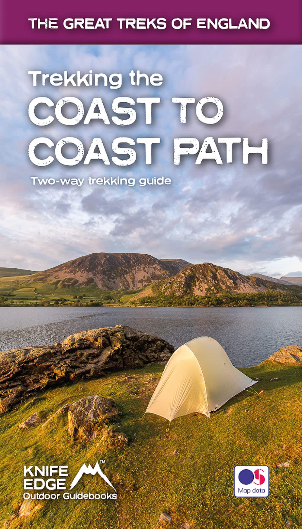
- Trekking the Coast to Coast Path
- Two-way trekking guide Read more
- Also available from:
- De Zwerver, Netherlands
De Zwerver
Netherlands
2022
Netherlands
2022
- Wandelgids Trekking the Coast to Coast Path | Knife Edge Outdoor
- Two-way trekking guide Read more

Stanfords
United Kingdom
United Kingdom
- West Cumbria, Cockermouth & Wast Water OS Landranger Active Map 89 (waterproof)
- Waterproof and tear-resistant OS Active version of map No. 89 from the Ordnance Survey’s Landranger series at 1:50,000, with contoured and GPS compatible topographic mapping plus tourist information.MOBILE DOWNLOADS: As well as the physical edition of the map, each Landranger title now includes a code for downloading after purchase its digital... Read more
- Also available from:
- The Book Depository, United Kingdom


- Also available from:
- De Zwerver, Netherlands
Maps

Stanfords
United Kingdom
United Kingdom
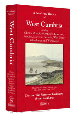
- West Cumbria 1864-1869
- Map No. 89, West Cumbria 1864-1869, in the Cassini Historical Series of old Ordnance Survey mapping of England and Wales at 1:50,000 in a format designed to offer a convenient comparison with the present day coverage from the OS, and most locations in three different editions. Old historical maps have been combined so that the sheet lines... Read more
Stanfords
United Kingdom
United Kingdom
- West Cumbria 1925
- Map No. 89, West Cumbria 1925, in the Cassini Historical Series of old Ordnance Survey mapping of England and Wales at 1:50,000 in a format designed to offer a convenient comparison with the present day coverage from the OS, and most locations in three different editions. Old historical maps have been combined so that the sheet lines correspond... Read more
Stanfords
United Kingdom
United Kingdom
- West Cumbria 1901-1904
- Map No. 89, West Cumbria 1901-1904, in the Cassini Historical Series of old Ordnance Survey mapping of England and Wales at 1:50,000 in a format designed to offer a convenient comparison with the present day coverage from the OS, and most locations in three different editions. Old historical maps have been combined so that the sheet lines... Read more
Stanfords
United Kingdom
United Kingdom
- West Cumbria 1864-1925 (3-map set)
- Map No. 89, West Cumbria 1864-1925 (3-map set), in the Cassini Historical Series of old Ordnance Survey mapping of England and Wales at 1:50,000 in a format designed to offer a convenient comparison with the present day coverage from the OS, and most locations in three different editions. Old historical maps have been combined so that the sheet... Read more

Stanfords
United Kingdom
United Kingdom
- Yorkshire Dales West
- The western part of the Yorkshire Dales on a waterproof and tear-resistant, contoured and GPS compatible map at 1:40,000 from Harvey Map Services showing local right of way paths, long-distance hiking routes, off road cycling routes, etc.Topography is shown by contours at 15m intervals, with spot heights plus colouring and graphics to show... Read more

Stanfords
United Kingdom
United Kingdom
- Pennine Bridleway: From Derbyshire through the Yorkshire Dales to Cumbria
- Pennine Bridleway is a guidebook to this National Trail taking you from Derbyshire through the Yorkshire Dales to Cumbria, following the Pennine Hills.The route is split into four sections; each section includes detailed directions as well as information on points of interest along the route, bringing the history and landscape of the trail into... Read more

Stanfords
United Kingdom
United Kingdom
- Yorkshire Dales for Cyclists
- Yorkshire Dales on a light, waterproof and tear-resistant, contoured and GPS compatible map at 1:100,000 from Harvey Map Services highlighting roads which are part of the various long-distance cycle trails across the Dales, plus highlighting for facilities and places of interest, enlargements for main built-up areas, etc.Topography is shown by... Read more

Stanfords
United Kingdom
2019
United Kingdom
2019
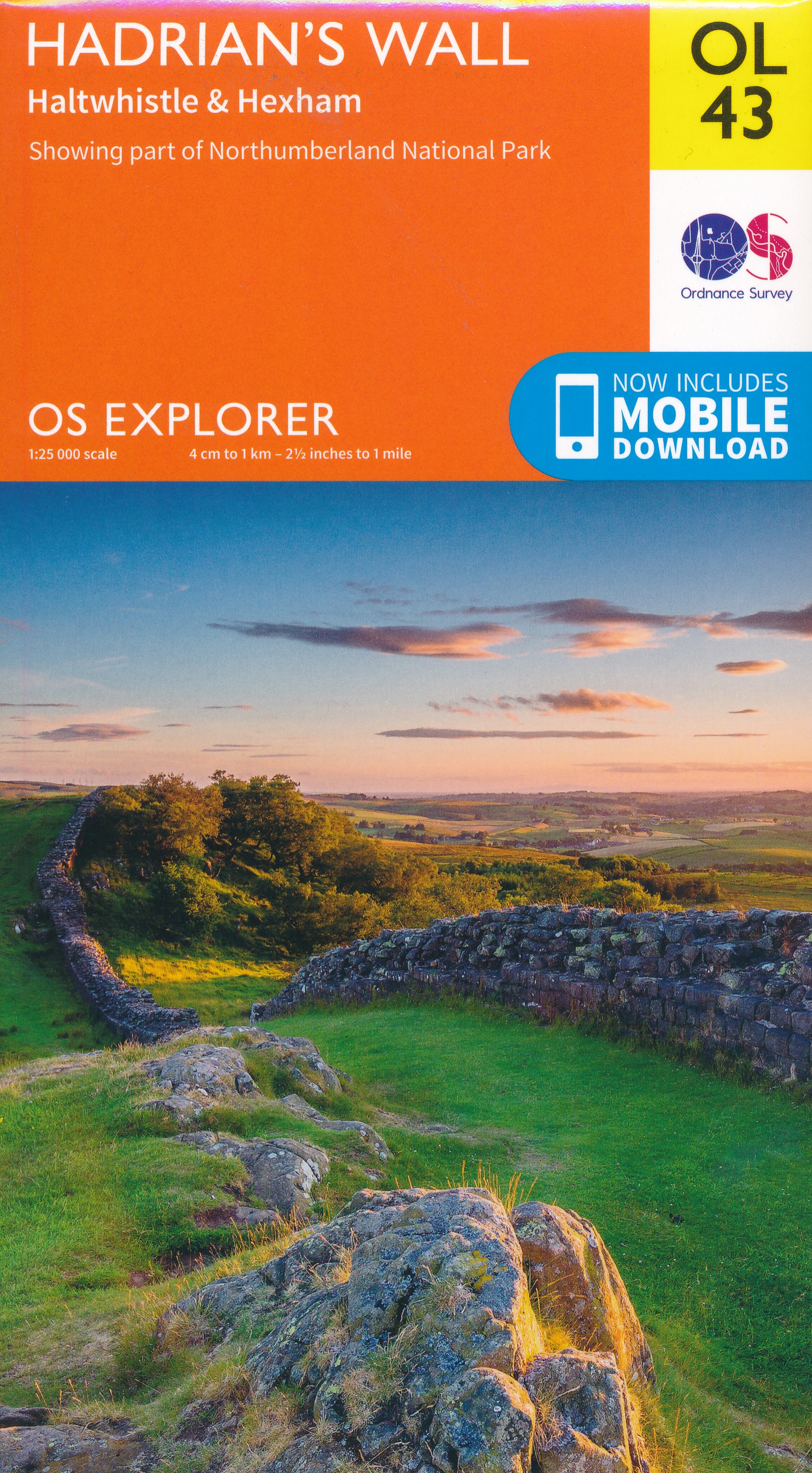
- Hadrian`s Wall Path Harvey National Trail XT40
- Hadrian’s Wall Path, a 135km / 84 mile national trail between Bowness-on-Solway and Wallsend on Tyne which for the greater part of its course shadows the historic line of the Roman wall, presented at 1:40,000 on a map from Harvey Map Services. The route is shown on seven panels, with enlargements for important sections with archaeological... Read more
- Also available from:
- The Book Depository, United Kingdom
- De Zwerver, Netherlands

The Book Depository
United Kingdom
2019
United Kingdom
2019
- Hadrian's Wall
- Een bijzonder handige kaart van dit lange-afstands-wandelpad. Op waterafstotend papier met veel details. Het enige dat je eigenlijk een beetje mist is een overzicht. Verder uitstekend en voldoende voor de route. Compact and light - the map itself weighs just 60gms - a third of the weight of a laminated map, and much less bulky. And you can fold... Read more

De Zwerver
Netherlands
2019
Netherlands
2019
- Wandelkaart Hadrian's Wall | Harvey Maps
- Een bijzonder handige kaart van dit lange-afstands-wandelpad. Op waterafstotend papier met veel details. Het enige dat je eigenlijk een beetje mist is een overzicht. Verder uitstekend en voldoende voor de route. Compact and light - the map itself weighs just 60gms - a third of the weight of a laminated map, and much less bulky. And you can fold... Read more

Stanfords
United Kingdom
United Kingdom
- Dales Way Harvey National Trail XT40
- The Dales Way, a 135km / 85 mile route in the Yorkshire Dales and the Lake District National Parks, presented at 1:40,000 on a map from Harvey Map Services. The route itself, between Ilkley and Bowness-on-Windermere, is shown on six panels, with additional three panels covering the access to the start of the Dales Way in Ilkley from Leeds,... Read more
- Also available from:
- The Book Depository, United Kingdom
- De Zwerver, Netherlands

The Book Depository
United Kingdom
United Kingdom
- Dales Way
- The Dales Way, a 135km / 85 mile route in the Yorkshire Dales and the Lake District National Parks, presented at 1:40,000 on a map from Harvey Map Services. The route itself, between Ilkley and Bowness-on-Windermere, is shown on six panels, with additional three panels covering the access to the start of the Dales Way in Ilkley from Leeds,... Read more

De Zwerver
Netherlands
Netherlands
- Wandelkaart Dales Way | Harvey Maps
- The Dales Way, a 135km / 85 mile route in the Yorkshire Dales and the Lake District National Parks, presented at 1:40,000 on a map from Harvey Map Services. The route itself, between Ilkley and Bowness-on-Windermere, is shown on six panels, with additional three panels covering the access to the start of the Dales Way in Ilkley from Leeds,... Read more

Stanfords
United Kingdom
United Kingdom
- Cumbria Way Harvey National Trail XT40
- Cumbria Way, a 112km / 70 mile route liking Ulverston and Carlisle across the heart of the Lake District, presented at 1:40,000 on a light, waterproof and tear-resistant map from Harvey Map Services. The route is shown on five overlapping panels, with additional street plans of Carlisle, Keswick, and Ulverston.Maps in the Harvey’s series... Read more
- Also available from:
- The Book Depository, United Kingdom
- De Zwerver, Netherlands

The Book Depository
United Kingdom
United Kingdom
- Cumbria Way
- Cumbria Way, a 112km / 70 mile route liking Ulverston and Carlisle across the heart of the Lake District, presented at 1:40,000 on a light, waterproof and tear-resistant map from Harvey Map Services. The route is shown on five overlapping panels, with additional street plans of Carlisle, Keswick, and Ulverston.Maps in the Harvey Read more

De Zwerver
Netherlands
Netherlands
- Wandelkaart Cumbria Way | Harvey Maps
- Cumbria Way, a 112km / 70 mile route liking Ulverston and Carlisle across the heart of the Lake District, presented at 1:40,000 on a light, waterproof and tear-resistant map from Harvey Map Services. The route is shown on five overlapping panels, with additional street plans of Carlisle, Keswick, and Ulverston.Maps in the Harvey Read more

The Book Depository
United Kingdom
United Kingdom
- Lakes SE
- The south-eastern area of the Lake District on a detailed topographic and GPS compatible map OL7, waterproof version, from the Ordnance Survey’s 1:25,000 Explorer series. Coverage extends eastwards from Coniston and the northern part of the Coniston Water to the Killington Reservoir and includes Grasmere, Ambleside, Windermere, Kendal, Penny... Read more

Stanfords
United Kingdom
2014
United Kingdom
2014
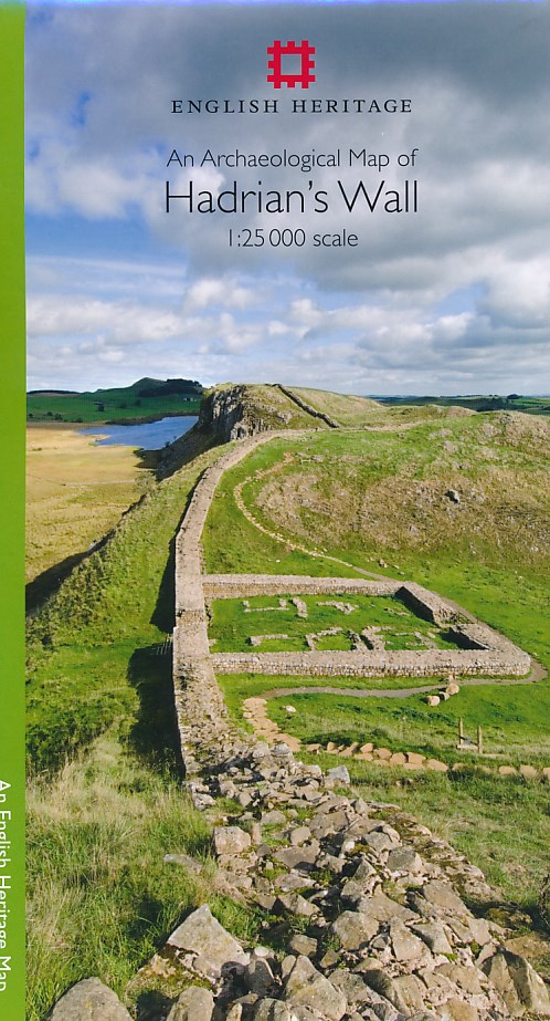
- Hadrian`s Wall Archaeological Map
- Hadrian’s Wall and the nearby archaeological Roman remains on a light, waterproof and tear-resistant map from the English Heritage with the base map from the Ordnance Survey 1:25,000 Explorer series.The map presents in six panels the whole course of the wall including its sections across the present day Newcastle, plus the adjoining area along... Read more
- Also available from:
- The Book Depository, United Kingdom
- De Zwerver, Netherlands

The Book Depository
United Kingdom
2014
United Kingdom
2014
- An Archaeological Map of Hadrian's Wall
- 1:25000 Scale Revised Edition Read more
De Zwerver
Netherlands
2014
Netherlands
2014
- Historische Kaart An Archaeological Map of Hadrian's Wall | English Heritage
- Hadrian’s Wall and the nearby archaeological Roman remains on a light, waterproof and tear-resistant map from the English Heritage with the base map from the Ordnance Survey 1:25,000 Explorer series.The map presents in six panels the whole course of the wall including its sections across the present day Newcastle, plus the adjoining area along... Read more

Stanfords
United Kingdom
United Kingdom
- The Cumbria Way
- The waterproof Footprint map-guide to the Cumbria Way - the 73 mile (117km) route between Ulverstone and Carlisle. It generally follows well maintained paths and tracks through some of the Lake District`s finest scenery. This Footprint map is divided into 5 sections each portrayed on a separate panel. It is marked in miles, starting in... Read more
- Also available from:
- The Book Depository, United Kingdom

The Book Depository
United Kingdom
United Kingdom
- The Cumbria Way
- A Footprint Map-Guide to the 73-Mile Route Between Ulverston & Carlisle Read more

Stanfords
United Kingdom
United Kingdom
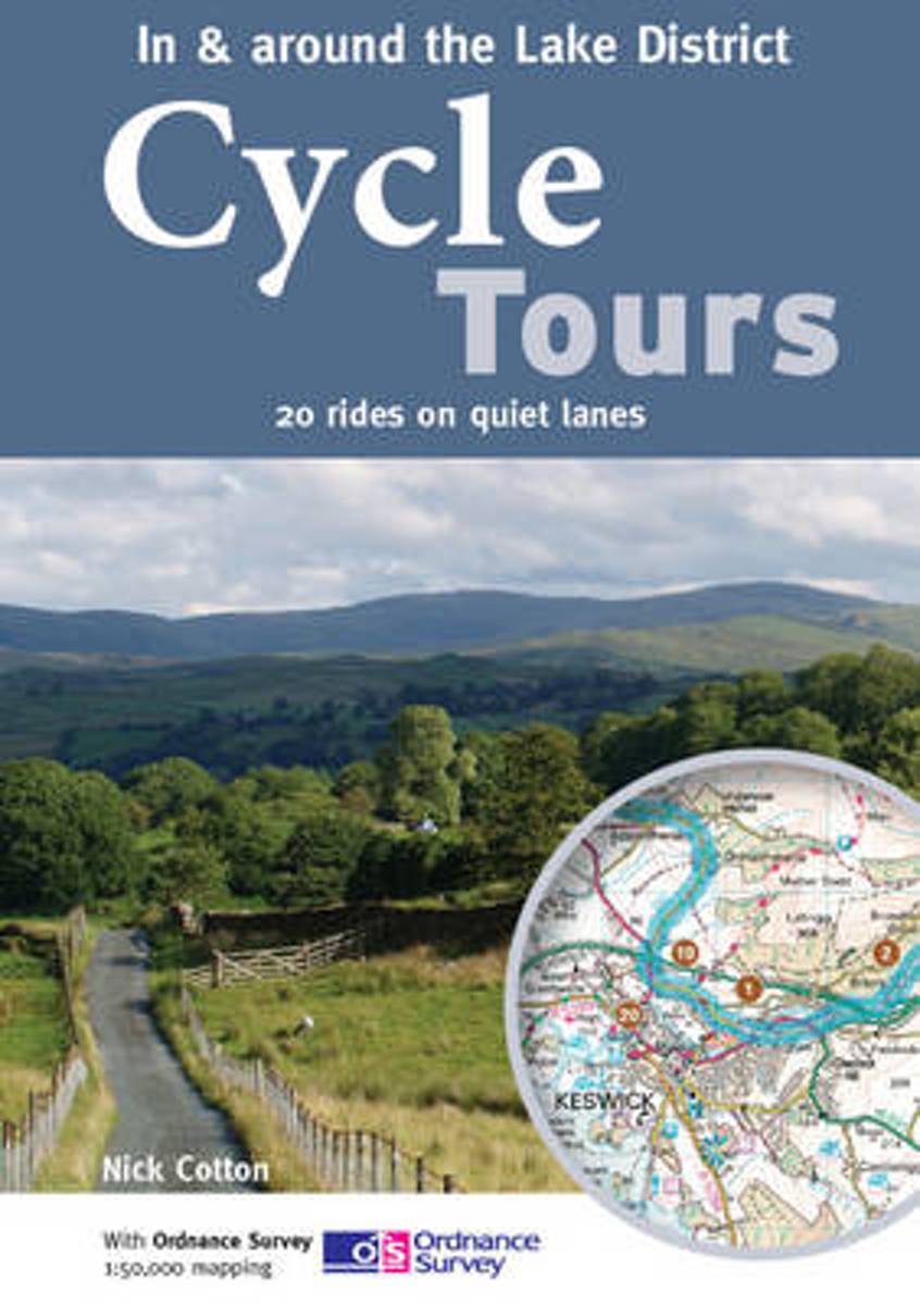
- Cycle Tours in & Around the Lake District
- The Lake District boasts some of the most stunning mountain scenery in the country, providing a dramatic backdrop to many of the rides featured in this book. The practical spiral-bound guide describes 20 wonderful lane rides of 24-35 miles in South Lakeland and the Eden Valley. All of the rides are highlighted on Ordnance Survey Landranger... Read more
- Also available from:
- Bol.com, Netherlands
- Bol.com, Belgium
Bol.com
Netherlands
Netherlands
- Cycle Tours in & Around the Lake District
- The Lake District boasts some of the most stunning mountain scenery in the country, providing a dramatic backdrop to many of the rides featured in this book. The practical spiral-bound guide describes 20 wonderful lane rides of 24-35 miles in South Lakeland and the Eden Valley. All of the rides are highlighted on Ordnance Survey Landranger... Read more
Bol.com
Belgium
Belgium
- Cycle Tours in & Around the Lake District
- The Lake District boasts some of the most stunning mountain scenery in the country, providing a dramatic backdrop to many of the rides featured in this book. The practical spiral-bound guide describes 20 wonderful lane rides of 24-35 miles in South Lakeland and the Eden Valley. All of the rides are highlighted on Ordnance Survey Landranger... Read more