
Southern Upland Way
Description
- Name Southern Upland Way
- Length of trail 341 km, 212 miles
- Length in days 17 days
- Traildino grading EW, Easy walk, nature trail
 212 miles, 341 km, 17 days
Long Distance Route in Scotland
Scotland's Coast to Coast route is long and lonely. The trail is located in the deserted area south of Glasgow and Edinburgh, far from the popular Scottish Highlands.
Count on a walk of about two weeks undulating heathland. This heather is not only feeding the sheep, but also grouse. Every year, bits of land are set to fire to promote the growth of young plants which feed these birds. Other birds that you will surely see are Raven. And on the west coast you may see Gannets, large black and white birds who spectacularly dive into the sea.
Another facet that will certainly fetch your attention, are the forests. After the war, these forests were created as stiff, dull, square plots of spruce. Perhaps you will appreciate forests like these one days. Most people hate them. The foresters have knocked the wheel, and are gradually creating a more playful forests to please us. The plantations remain artificial, but remember the moorlands and grasslands are not natural either.
The path is part of the E2 European Long Distance Trail.
Map

Links
Facts
Reports
Guides and maps
Lodging
Organisations
Tour operators
GPS
Other
Books

United Kingdom
2019
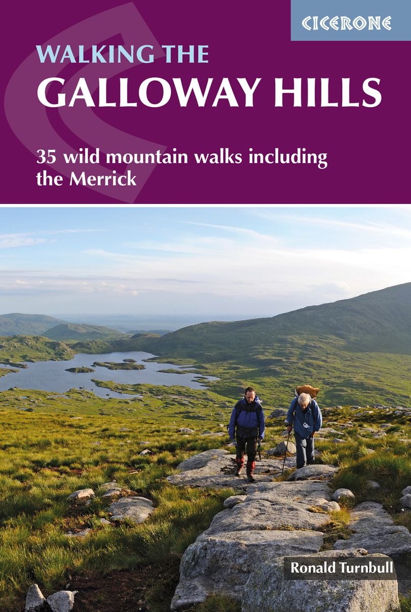
- Walking the Galloway Hills: 35 wild mountain walks including the Merrick
- This guide covers 34 day walks and one long-distance route in the wild and remote hills of Galloway. Although there are some shorter and easier routes, many of these hill walks are long and on rugged terrain, so are more suitable for experienced walkers. The walks cover the evocative areas of The Merrick, The Awful Hand, The Rhinns of Kells,... Read more
- Also available from:
- The Book Depository, United Kingdom
- De Zwerver, Netherlands

United Kingdom
2019
- Walking the Galloway Hills
- 35 wild mountain walks including the Merrick Read more
Netherlands
2019
- Wandelgids Walking the Galloway Hills | Cicerone
- Guidebook describing mountain walks in the Galloway Hills of southern Scotland, covering Trool, Minnoch, Doon and Talnotry. Offering solitude and rugged natural beauty, this rocky, heathery wilderness presents some great hiking opportunities suitable for experienced hillwalkers. Includes summaries of longer backpack/bothy trips. Read more

United Kingdom
2015
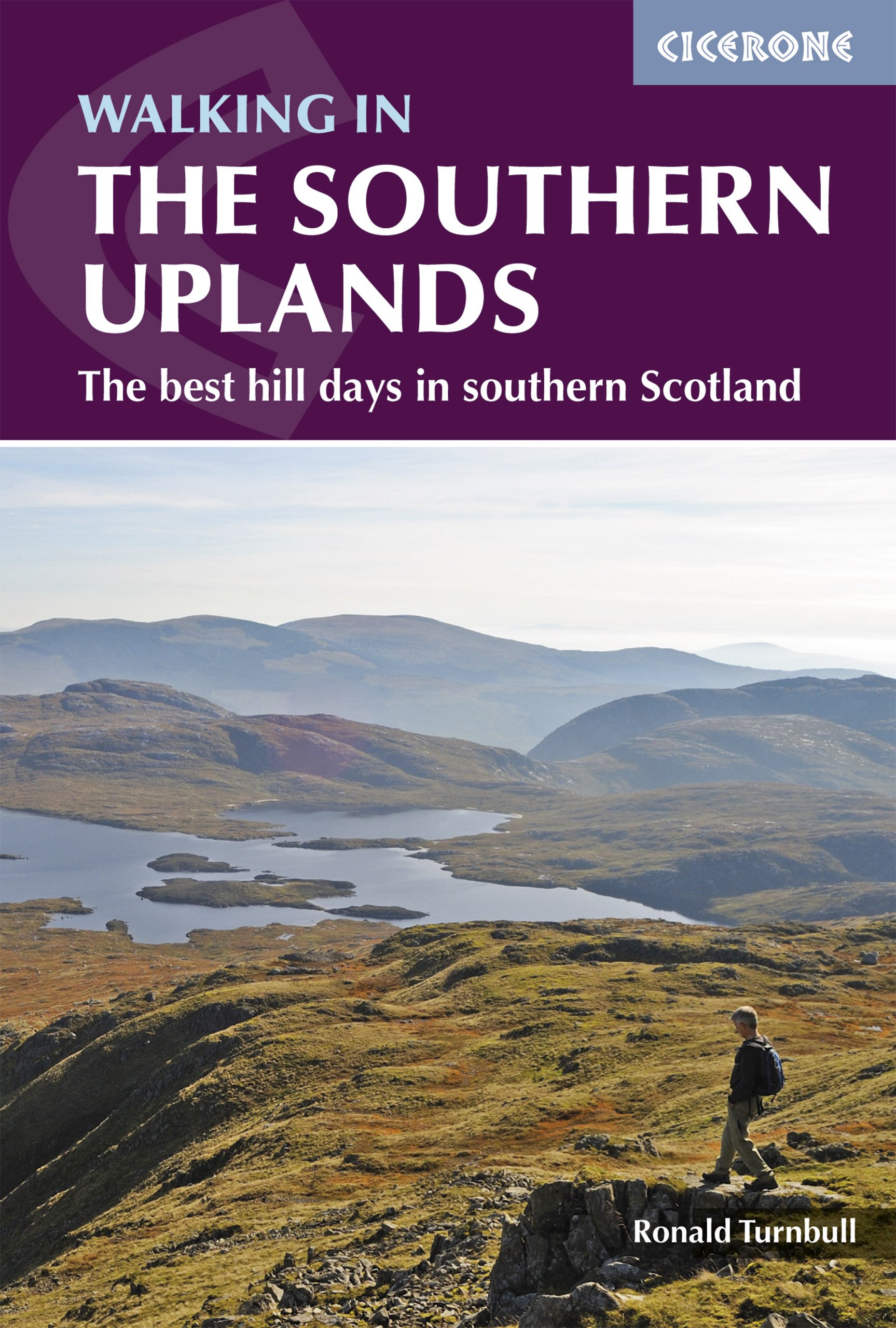
- Southern Uplands Walking: 44 Best Hill Days in Southern Scotland
- This guidebook describes 44 routes and over 100 summits stretching across the Southern Uplands of Scotland, stretching south-west from Edinburgh to the English border, including the Galloway and Pentland Hills. The walks range between 2 and 29km, suitable for walkers of all abilities. The Scottish Southern Uplands is a range that is about as... Read more
- Also available from:
- The Book Depository, United Kingdom
- De Zwerver, Netherlands

United Kingdom
2015
- Walking in the Southern Uplands
- 44 best hill days in southern Scotland Read more
Netherlands
2021
- Wandelgids Walking in the Southern Uplands | Cicerone
- Guidebook to 44 varied day walks and over 100 summits in the Southern Uplands of Scotland, stretching south-west from Edinburgh to the English border, including the Galloway and Pentland Hills. Between 2 and 29km, there is something for all seasons and all abilities in remote and rugged hill country. Read more

- Also available from:
- De Zwerver, Netherlands
Netherlands
2010
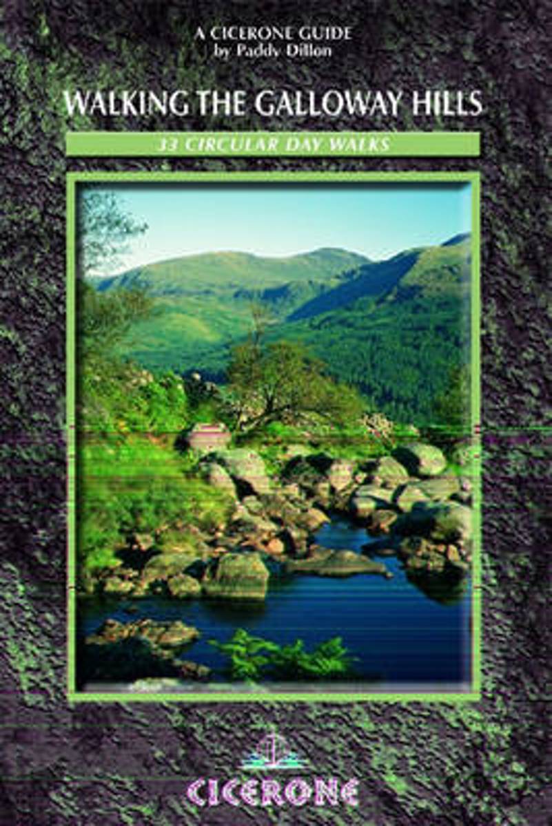
- Walking the Galloway Hills
- A guide to walking and trekking in the Galloway Hills, southwest Scotland, UK. These hills offer almost unlimited access for walkers, a rare freedom that has contributed to their description as 'A Walker's Paradise'. A tract of rocky, heathery wilderness interspersed by forest park, these hills offer a varied walking programme, from gentle... Read more
- Also available from:
- Bol.com, Belgium
Belgium
2010
- Walking the Galloway Hills
- A guide to walking and trekking in the Galloway Hills, southwest Scotland, UK. These hills offer almost unlimited access for walkers, a rare freedom that has contributed to their description as 'A Walker's Paradise'. A tract of rocky, heathery wilderness interspersed by forest park, these hills offer a varied walking programme, from gentle... Read more
Netherlands
2013
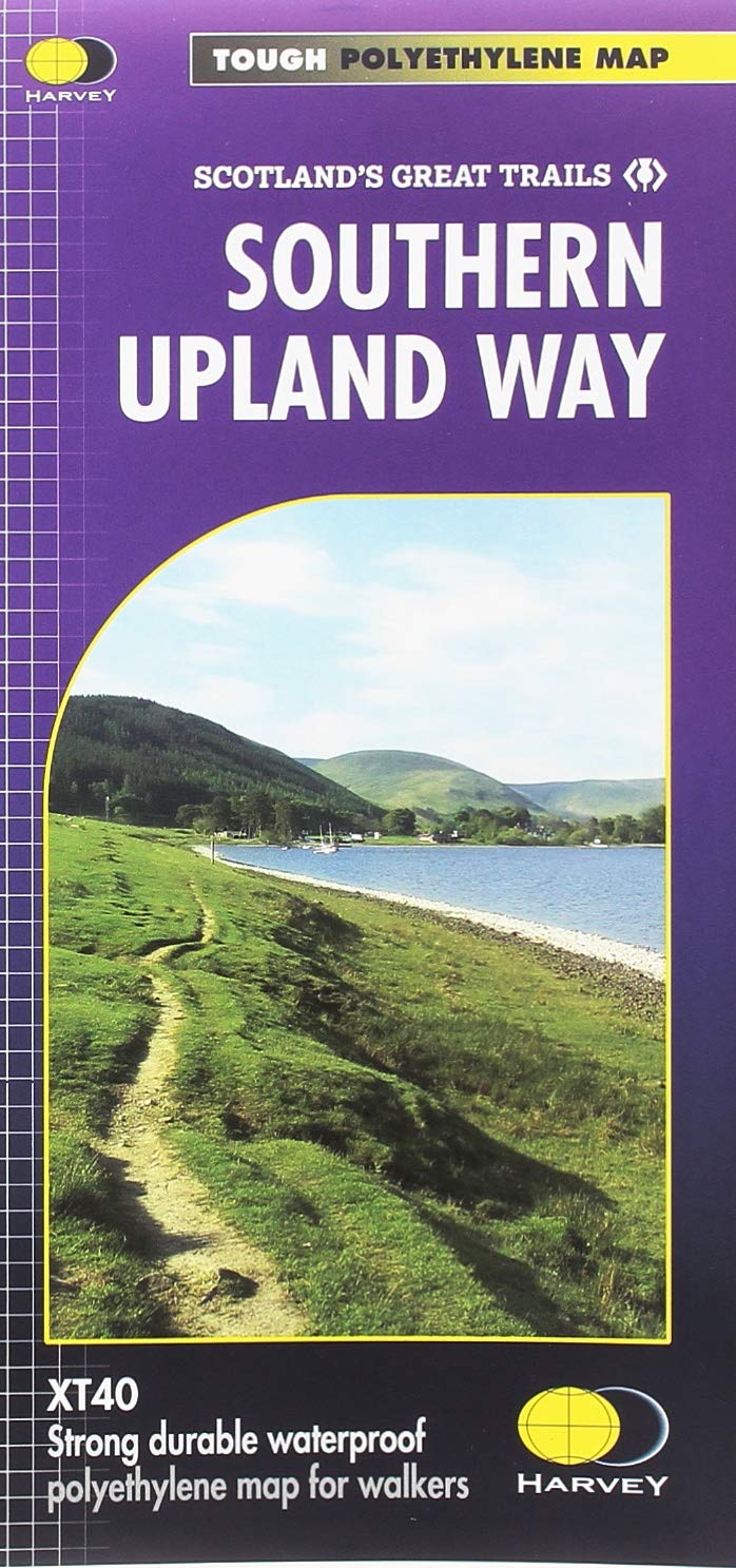
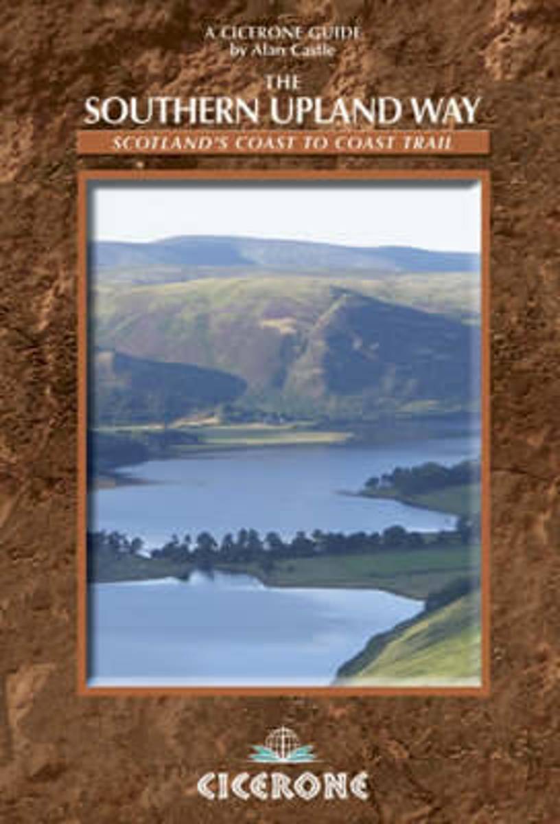
- The Southern Upland Way
- The Southern Upland Way is Scotland's Coast-to-Coast walk and the longest of the National Trails north of the Border. It runs for 212 miles (341km) from picturesque Portpatrick on the west coast across the Galloway and Border Hills to finish on the east coast at Cockburnspath south of Dunbar. On the way it passes through remote and romantic... Read more
- Also available from:
- Bol.com, Belgium
Belgium
2013
- The Southern Upland Way
- The Southern Upland Way is Scotland's Coast-to-Coast walk and the longest of the National Trails north of the Border. It runs for 212 miles (341km) from picturesque Portpatrick on the west coast across the Galloway and Border Hills to finish on the east coast at Cockburnspath south of Dunbar. On the way it passes through remote and romantic... Read more
Netherlands
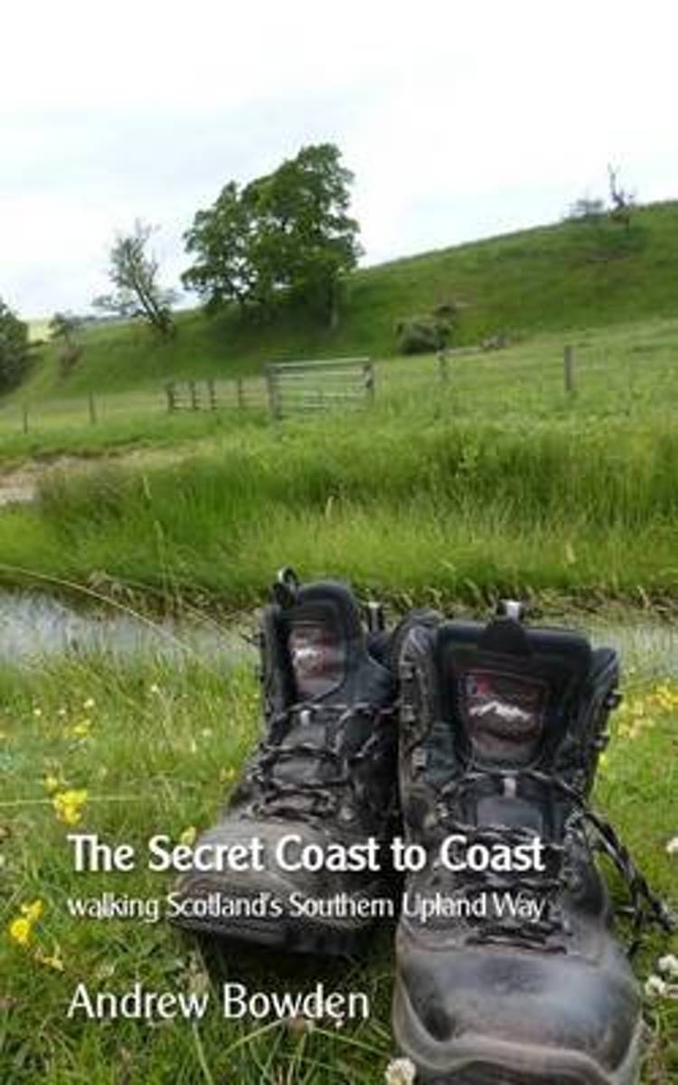
- The Secret Coast to Coast
- Tell someone you're going off to Scotland to walk the Southern Upland Way and they'll probably look at you rather blankly before starting to tell you about Great Aunt Mabel's recent hip operation. Even in walking circles, it's not exactly a well known trail. Which is why, when Andrew Bowden told anyone who would listen that he was going to... Read more
- Also available from:
- Bol.com, Belgium
Belgium
- The Secret Coast to Coast
- Tell someone you're going off to Scotland to walk the Southern Upland Way and they'll probably look at you rather blankly before starting to tell you about Great Aunt Mabel's recent hip operation. Even in walking circles, it's not exactly a well known trail. Which is why, when Andrew Bowden told anyone who would listen that he was going to... Read more

United Kingdom
2018
- Southern Upland Way
- The Southern Upland Way is Scotland`s coast-to-coast walk and the longest of the nation`s Great Trails. 215 miles long, it links the pretty harbour village of Portpatrick on the west coast with Cockburnspath, a little south of Dunbar, in the east. The walk is at times a strenuous one, crossing the remote high moorland of the Galloway Hills,... Read more
- Also available from:
- De Zwerver, Netherlands
Netherlands
2018
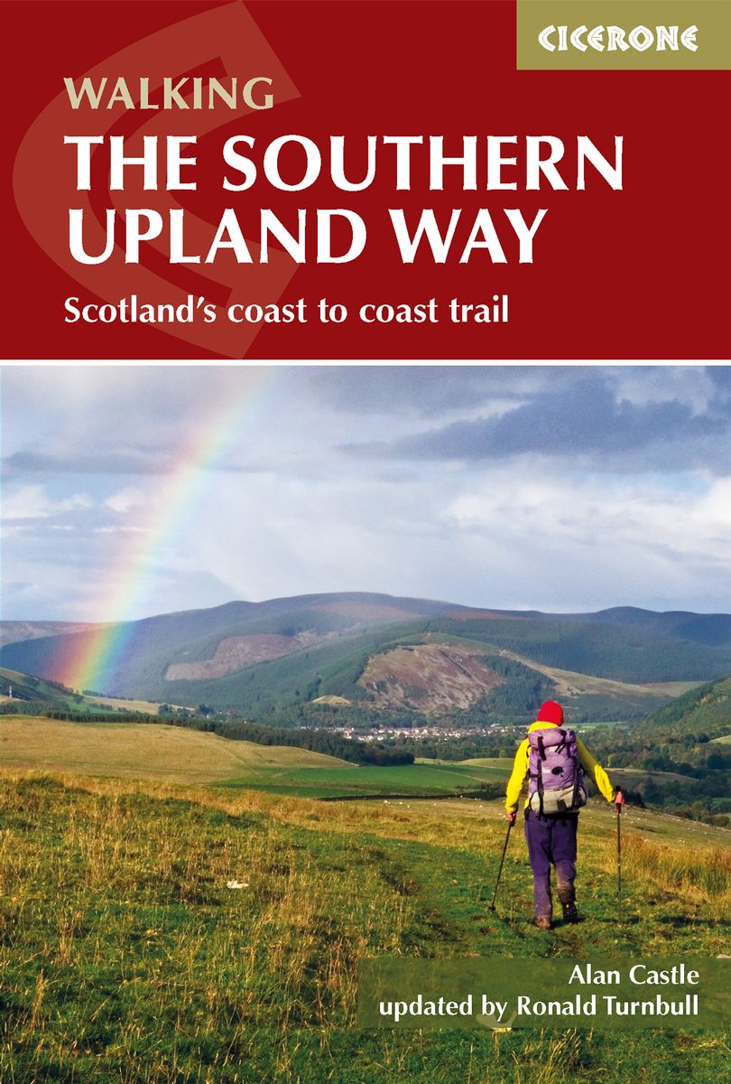
- Wandelgids The Southern Upland Way | Cicerone
- Guidebook to the Southern Upland Way, a coast to coast walk through Galloway and the Scottish Borders. One of Scotland's Great Trails, the 347km (215 mile) route links Portpatrick on the west coast to Cockburnspath on the east, through diverse landscapes and rich natural and historical interest. It can be completed in around a fortnight. Read more