Kootenay National Park
Description
National Park located in southeastern British Columbia Canada in the Canadian Rockies.
Trails in this region
Links
Facts
Reports
Guides and maps
Lodging
Organisations
Tour operators
GPS
Other
Books

Stanfords
United Kingdom
United Kingdom
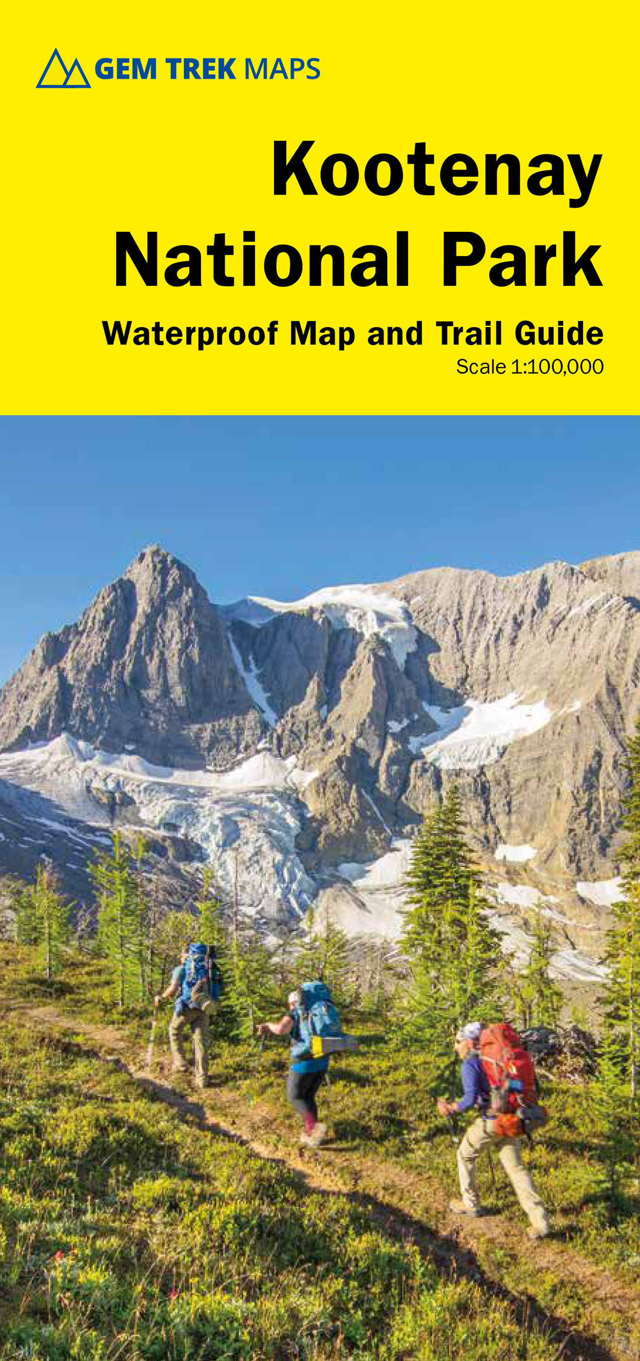
- Kootenay National Park Gem Trek Map
- Kootenay National Park in the Canadian Rockies at 1:100,000 on a contoured and GPS compatible, waterproof and tear-resistant map from Gem Trek Publishing, highlighting hiking trails, recreational areas, accommodation options, etc, plus on the reverse extensive tourist information including descriptions of recommended routes.The map provides a... Read more
Bol.com
Netherlands
Netherlands
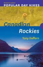
- Popular Day Hikes 2
- Featuring a fresh design and the most recent route updates, Popular Day Hikes is a series of bestselling books written for visitors and locals looking to hike scenic trails from well-established staging areas.Popular Day Hikes 2 covers 37 popular, accessible trails in one of the world s most stunningly beautiful natural environments. Featuring... Read more
- Also available from:
- Bol.com, Belgium
Bol.com
Belgium
Belgium
- Popular Day Hikes 2
- Featuring a fresh design and the most recent route updates, Popular Day Hikes is a series of bestselling books written for visitors and locals looking to hike scenic trails from well-established staging areas.Popular Day Hikes 2 covers 37 popular, accessible trails in one of the world s most stunningly beautiful natural environments. Featuring... Read more
Maps

Stanfords
United Kingdom
United Kingdom
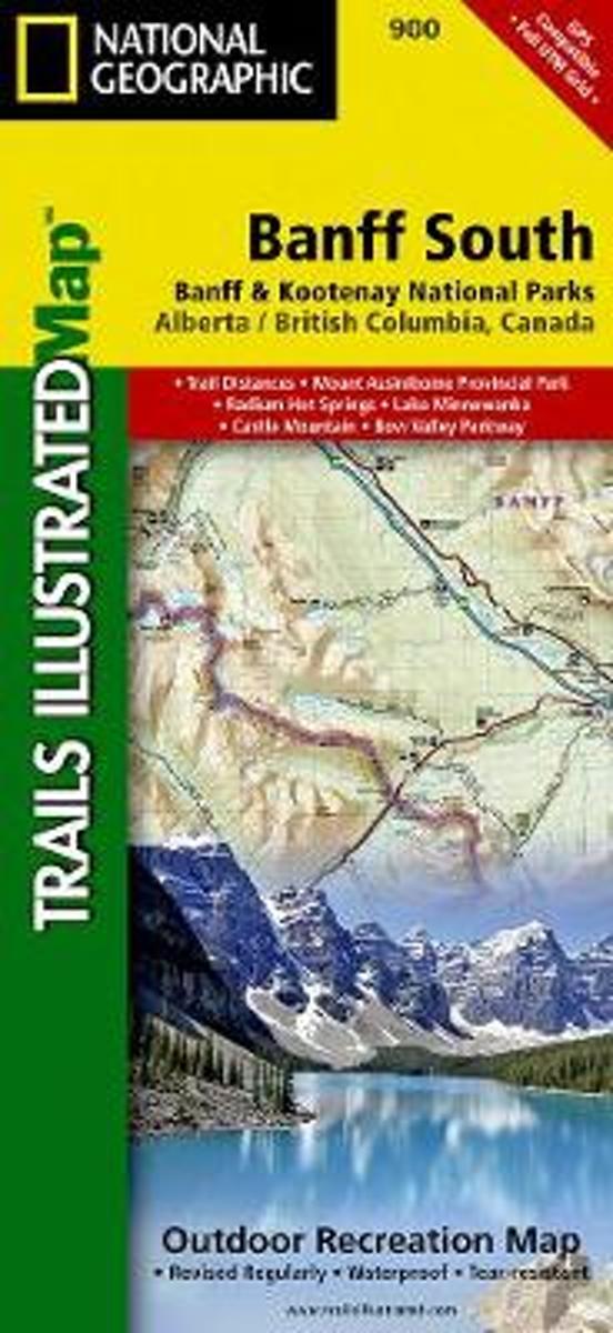
- Banff South - Banff & Kootenay National Parks
- The southern part of the Banff National Park on a double-sided, contoured, GPS compatible recreational map at 1:100,000 from the National Geographic printed on light, waterproof and tear-resistant synthetic paper. Coverage extends to the southern boundary of the Kootenay National Park, with a wide overlap and Banff village shown on both sides... Read more
- Also available from:
- Bol.com, Netherlands
- Bol.com, Belgium
- De Zwerver, Netherlands
Bol.com
Netherlands
Netherlands
- Banff South
- Waterproof Tear-Resistant Topographic MapNational Geographic's Trails Illustrated map of Banff South is a two-sided, waterproof map designed to meet the needs of outdoor enthusiasts with unmatched durability and detail. This map was created in conjunction with local land management agencies and is loaded with valuable recreation... Read more
Bol.com
Belgium
Belgium
- Banff South
- Waterproof Tear-Resistant Topographic MapNational Geographic's Trails Illustrated map of Banff South is a two-sided, waterproof map designed to meet the needs of outdoor enthusiasts with unmatched durability and detail. This map was created in conjunction with local land management agencies and is loaded with valuable recreation... Read more
De Zwerver
Netherlands
Netherlands
- Wandelkaart 900 Banff South National Park | National Geographic
- The southern part of the Banff National Park on a double-sided, contoured, GPS compatible recreational map at 1:100,000 from the National Geographic printed on light, waterproof and tear-resistant synthetic paper. Coverage extends to the southern boundary of the Kootenay National Park, with a wide overlap and Banff village shown on both sides... Read more

Stanfords
United Kingdom
United Kingdom
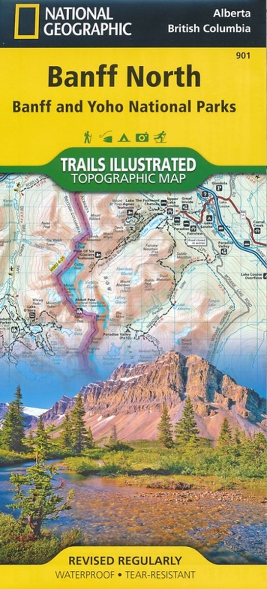
- Banff North - Banff and Yoho National Parks NGS Trails Illustrated Map 901
- The northern part of the Banff National Park on a double-sided, contoured, GPS compatible recreational map at 1:100,000 from the National Geographic printed on light, waterproof and tear-resistant synthetic paper. Coverage includes Lake Louise, the Saskatchewan River Crossing and the Columbia Icefield.This title is part of a series of four... Read more
- Also available from:
- Bol.com, Netherlands
- Bol.com, Belgium
- De Zwerver, Netherlands
Bol.com
Netherlands
Netherlands
- Banff North
- Waterproof Tear-Resistant Topographic MapNational Geographic's Trails Illustrated map of Banff North is a two-sided, waterproof map designed to meet the needs of outdoor enthusiasts with unmatched durability and detail. This map was created in conjunction with local land management agencies and is loaded with valuable recreation... Read more
Bol.com
Belgium
Belgium
- Banff North
- Waterproof Tear-Resistant Topographic MapNational Geographic's Trails Illustrated map of Banff North is a two-sided, waterproof map designed to meet the needs of outdoor enthusiasts with unmatched durability and detail. This map was created in conjunction with local land management agencies and is loaded with valuable recreation... Read more

De Zwerver
Netherlands
Netherlands
- Wandelkaart 901 Banff North National Park | National Geographic
- The northern part of the Banff National Park on a double-sided, contoured, GPS compatible recreational map at 1:100,000 from the National Geographic printed on light, waterproof and tear-resistant synthetic paper. Coverage includes Lake Louise, the Saskatchewan River Crossing and the Columbia Icefield.This title is part of a series of four... Read more
More maps…