
Yoho and Jasper National Park
Description
Located in the Canadian Rocky Mountains along the western slope of the Continental Divide in southeastern British Columbia.
Trails in this region
Links
Facts
Reports
Guides and maps
Lodging
Organisations
Tour operators
GPS
Other
Books

Stanfords
United Kingdom
United Kingdom
- Best of Canmore Gem Trek
- Best of Camnore, a contoured and GPS compatible, waterproof and tear-resistant map/guide at 1:35,000 from Gem Trek, designed for people who are only going to be in Camnore for one to three days and want to know the highlights. On one side is a detailed, relief-shaded topographic map of the Canmore area, covering Canmore Nordic Centre Provincial... Read more

The Book Depository
United Kingdom
2021
United Kingdom
2021
- Moon Best of Glacier, Banff & Jasper (First Edition)
- Make the Most of One to Three Days in the Parks Read more
Bol.com
Netherlands
Netherlands
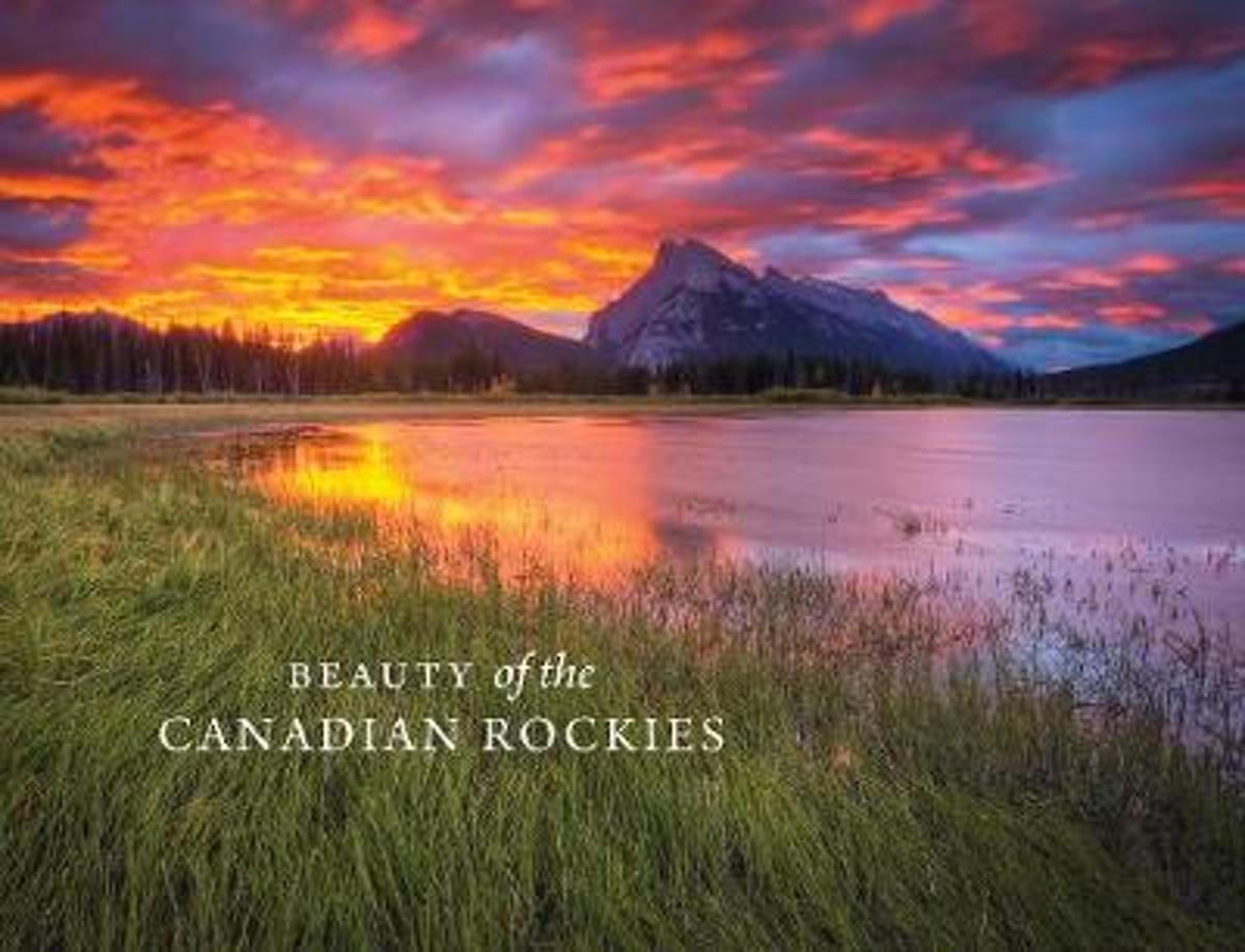
- Beauty of the Canadian Rockies
- In celebration of the 150th anniversary of Canadian Confederation and in conjunction with Parks Canadas announcement that entrance to all of Canadas national parks, national historic sites and national marine conservation areas will be free throughout 2017, RMB is excited to launch an entirely new series of photography books created and... Read more
- Also available from:
- Bol.com, Belgium
Bol.com
Belgium
Belgium
- Beauty of the Canadian Rockies
- In celebration of the 150th anniversary of Canadian Confederation and in conjunction with Parks Canadas announcement that entrance to all of Canadas national parks, national historic sites and national marine conservation areas will be free throughout 2017, RMB is excited to launch an entirely new series of photography books created and... Read more

Stanfords
United Kingdom
2022
United Kingdom
2022
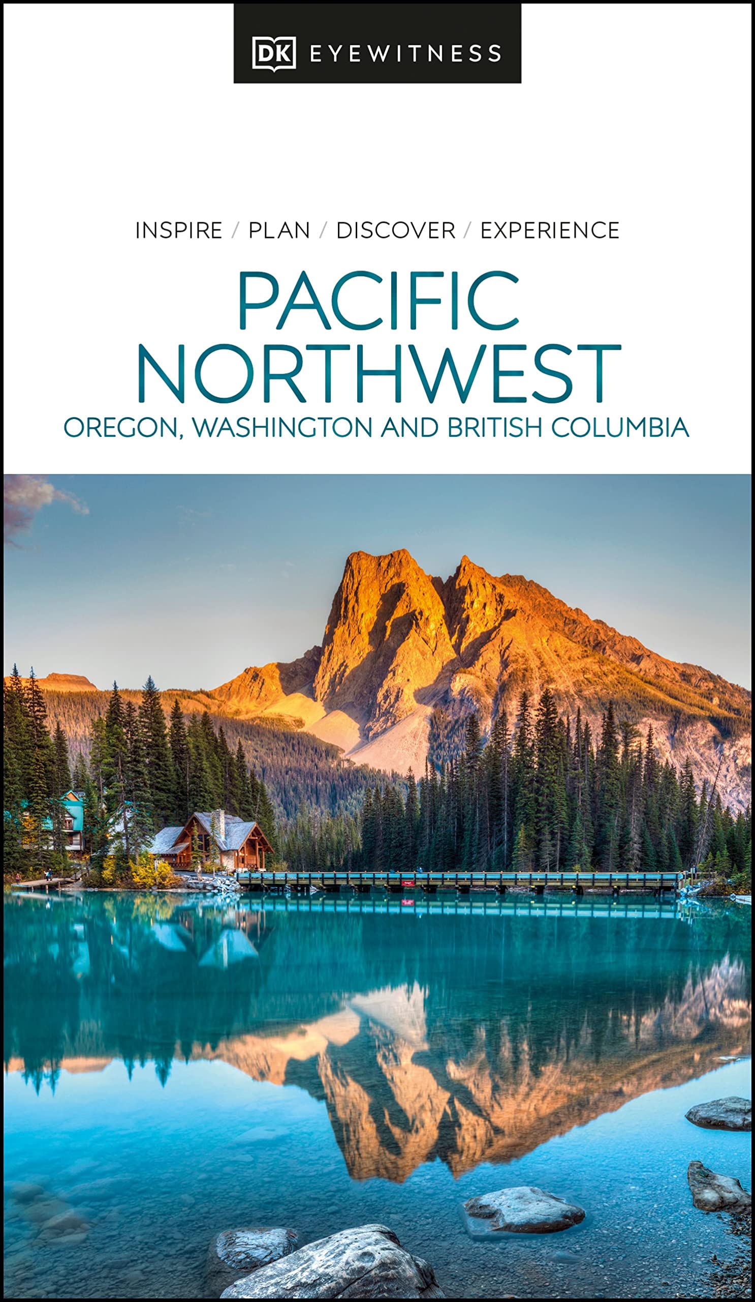
- DK Eyewitness Pacific Northwest
- Marrying vibrant cities with impeccable wilderness, the Pacific Northwest is as rich as it is diverse.Whether you want to drive along epic coastal highways, hike the pristine paths of Yoho National Park, or tuck into succulent street food in Portland, your DK Eyewitness travel guide makes sure you experience all that the Pacific Northwest has... Read more
- Also available from:
- De Zwerver, Netherlands
De Zwerver
Netherlands
2022
Netherlands
2022
- Reisgids Eyewitness Travel USA- Canada the Pacific Northwest | Dorling Kindersley
- Marrying vibrant cities with impeccable wilderness, the Pacific Northwest is as rich as it is diverse.Whether you want to drive along epic coastal highways, hike the pristine paths of Yoho National Park, or tuck into succulent street food in Portland, your DK Eyewitness travel guide makes sure you experience all that the Pacific Northwest has... Read more
Bol.com
Netherlands
Netherlands
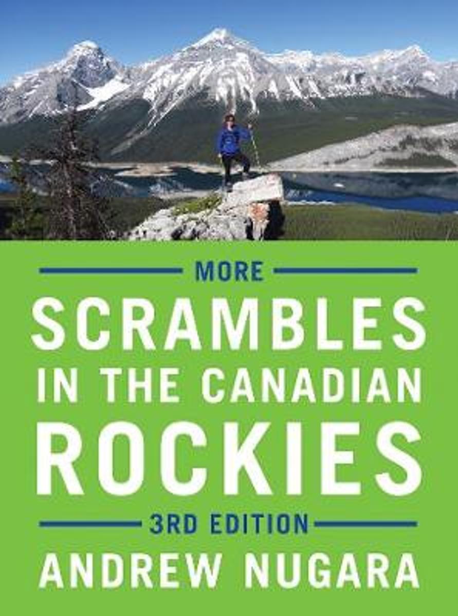
- More Scrambles in the Canadian Rockies
- Thoroughly updated, expanded and redesigned, this bestselling, full-colour guide to scrambling contains dozens of new trips for experienced hikers looking for more challenging routes to the top of a mountain.The third edition of More Scrambles in the Canadian Rockies contains 39 new routes, in addition to updates to some of the 114 featured in... Read more
- Also available from:
- Bol.com, Belgium
Bol.com
Belgium
Belgium
- More Scrambles in the Canadian Rockies
- Thoroughly updated, expanded and redesigned, this bestselling, full-colour guide to scrambling contains dozens of new trips for experienced hikers looking for more challenging routes to the top of a mountain.The third edition of More Scrambles in the Canadian Rockies contains 39 new routes, in addition to updates to some of the 114 featured in... Read more
Bol.com
Netherlands
Netherlands
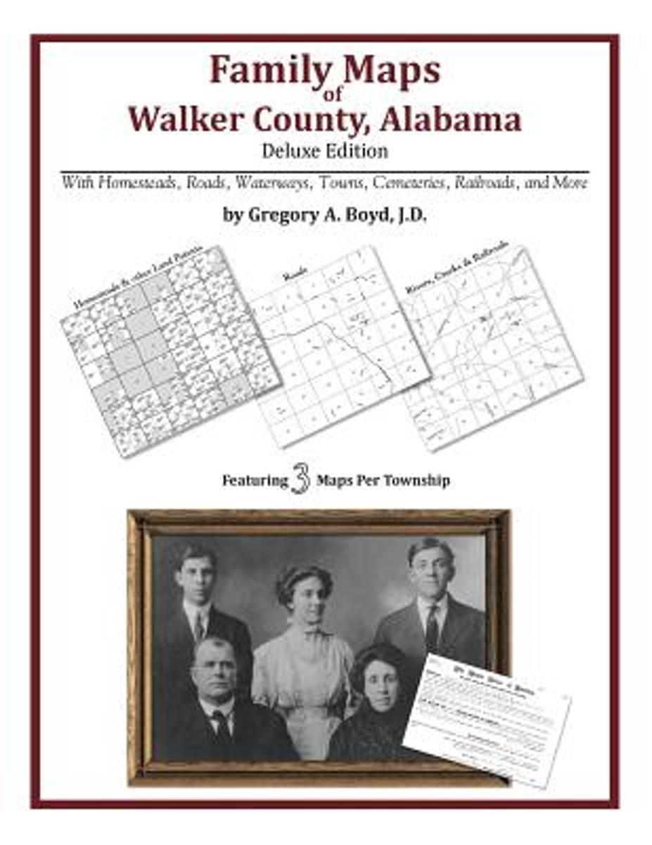
- Family Maps of Walker County, Alabama, Deluxe Edition
- Locating original landowners in maps has never been an easy task-until now. This volume in the Family Maps series contains newly created maps of original landowners (patent maps) in what is now Walker County, Alabama, gleaned from the indexes of the U.S. Bureau of Land Management. But it offers much more than that. For each township in the... Read more
- Also available from:
- Bol.com, Belgium
Bol.com
Belgium
Belgium
- Family Maps of Walker County, Alabama, Deluxe Edition
- Locating original landowners in maps has never been an easy task-until now. This volume in the Family Maps series contains newly created maps of original landowners (patent maps) in what is now Walker County, Alabama, gleaned from the indexes of the U.S. Bureau of Land Management. But it offers much more than that. For each township in the... Read more
Bol.com
Netherlands
Netherlands
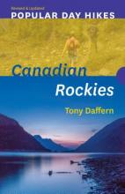
- Popular Day Hikes 2
- Featuring a fresh design and the most recent route updates, Popular Day Hikes is a series of bestselling books written for visitors and locals looking to hike scenic trails from well-established staging areas.Popular Day Hikes 2 covers 37 popular, accessible trails in one of the world s most stunningly beautiful natural environments. Featuring... Read more
- Also available from:
- Bol.com, Belgium
Bol.com
Belgium
Belgium
- Popular Day Hikes 2
- Featuring a fresh design and the most recent route updates, Popular Day Hikes is a series of bestselling books written for visitors and locals looking to hike scenic trails from well-established staging areas.Popular Day Hikes 2 covers 37 popular, accessible trails in one of the world s most stunningly beautiful natural environments. Featuring... Read more
De Zwerver
Netherlands
2022
Netherlands
2022
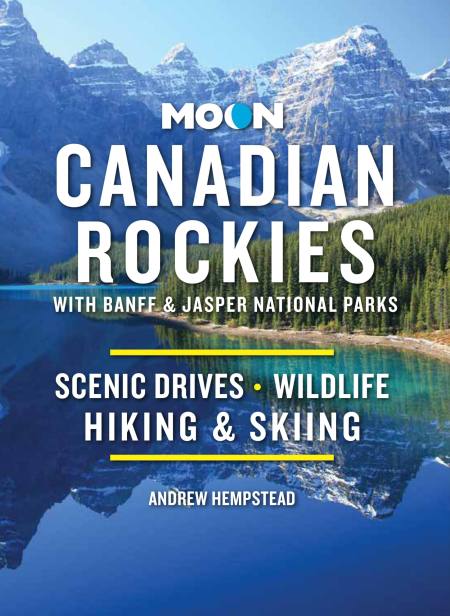
- Reisgids Canadian Rockies, met Banff en Jasper NP | Moon Travel Guides
- Scenic Drives, Wildlife, Hiking & Skiing Read more
Bol.com
Netherlands
2014
Netherlands
2014
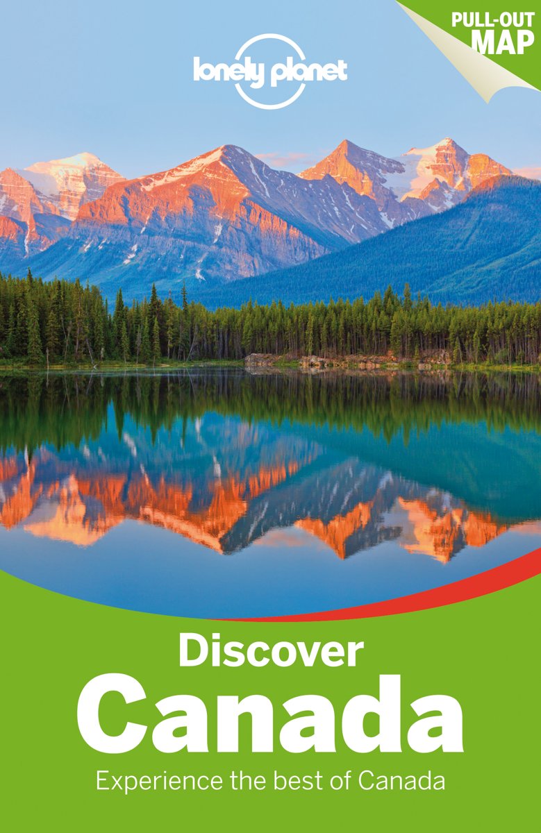
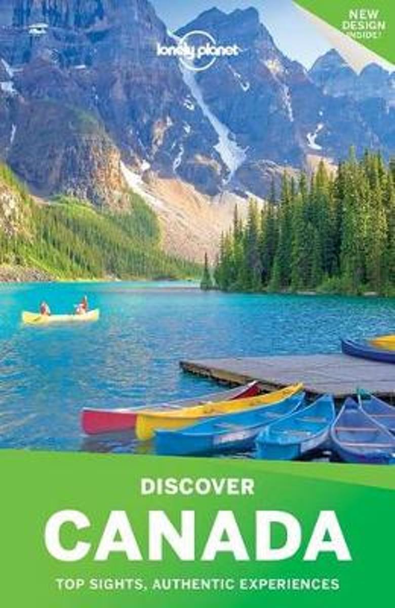
- Lonely Planet Discover Canada
- Lonely Planet's Discover Canada is your passport to the most relevant, up-to-date advice on what to see and skip, and what hidden discoveries await you. Hit the ski slopes at Whistler, wander Quebec's stunning Old Town, marvel at Niagara Falls, hike in Banff National Park; all with your trusted travel companion. Discover the best of Canada and... Read more
- Also available from:
- Bol.com, Belgium
Bol.com
Belgium
2014
Belgium
2014
- Lonely Planet Discover Canada
- Lonely Planet's Discover Canada is your passport to the most relevant, up-to-date advice on what to see and skip, and what hidden discoveries await you. Hit the ski slopes at Whistler, wander Quebec's stunning Old Town, marvel at Niagara Falls, hike in Banff National Park; all with your trusted travel companion. Discover the best of Canada and... Read more
Bol.com
Netherlands
Netherlands
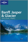
- Lonely Planet Banff, Jasper & Glacier National Parks
- - from hiking the hills to hitting the slopes, summer and winner activities for everyone- special focus on family travel, with short-and long-stay itineraries- over 20 maps with hundreds of miles of trails- covers the parks in their entirety as well as gateway towns and attractions outside the parks- avalanche safety information for backcountry... Read more
- Also available from:
- Bol.com, Belgium
Bol.com
Belgium
Belgium
- Lonely Planet Banff, Jasper & Glacier National Parks
- - from hiking the hills to hitting the slopes, summer and winner activities for everyone- special focus on family travel, with short-and long-stay itineraries- over 20 maps with hundreds of miles of trails- covers the parks in their entirety as well as gateway towns and attractions outside the parks- avalanche safety information for backcountry... Read more
Bol.com
Netherlands
Netherlands
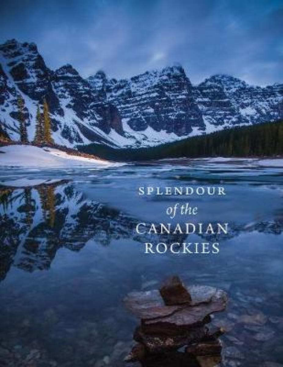
- Splendour of the Canadian Rockies
- In celebration of the 150th anniversary of Canadian Confederation and in conjunction with Parks Canadas announcement that entrance to all of Canadas national parks, national historic sites and national marine conservation areas will be free throughout 2017, RMB is excited to launch an entirely new series of photography books created and... Read more
- Also available from:
- Bol.com, Belgium
Bol.com
Belgium
Belgium
- Splendour of the Canadian Rockies
- In celebration of the 150th anniversary of Canadian Confederation and in conjunction with Parks Canadas announcement that entrance to all of Canadas national parks, national historic sites and national marine conservation areas will be free throughout 2017, RMB is excited to launch an entirely new series of photography books created and... Read more
Bol.com
Netherlands
Netherlands
- Discover Canada
- Lonely Planet: The world's leading travel guide publisher Lonely Planet's Discover Canada is your passport to the most relevant, up-to-date advice on what to see and skip, and what hidden discoveries await you. Hit the ski slopes at Whistler, wander Quebec's stunning Old Town, marvel at Niagara Falls, hike in Banff National Park; all with your... Read more
- Also available from:
- Bol.com, Belgium
Bol.com
Belgium
Belgium
- Discover Canada
- Lonely Planet: The world's leading travel guide publisher Lonely Planet's Discover Canada is your passport to the most relevant, up-to-date advice on what to see and skip, and what hidden discoveries await you. Hit the ski slopes at Whistler, wander Quebec's stunning Old Town, marvel at Niagara Falls, hike in Banff National Park; all with your... Read more

Stanfords
United Kingdom
United Kingdom
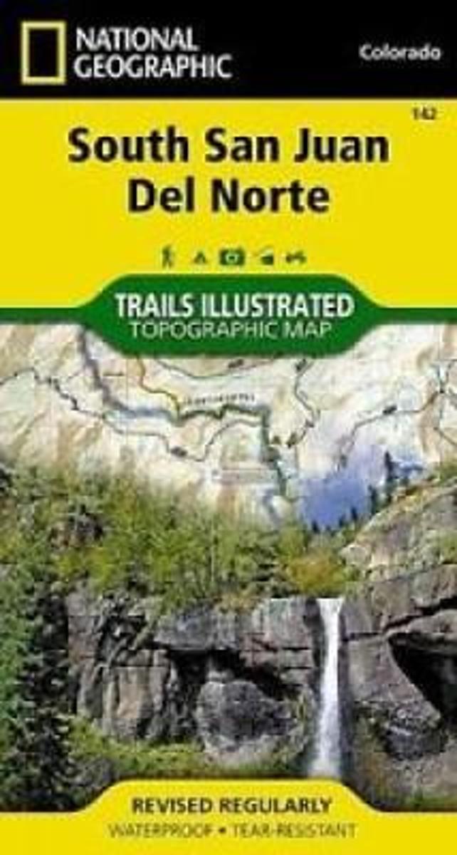
- South San Juan - Del Norte CO
- Map No. 142, South San Juan - Del Norte, CO, in an extensive series of GPS compatible, contoured hiking maps of USA’s national and state parks or forests and other popular recreational areas. Cartography based on the national topographic survey, with additional tourist information.The maps, with most titles now printed on light, waterproof and... Read more
- Also available from:
- The Book Depository, United Kingdom
- Bol.com, Netherlands
- Bol.com, Belgium

Bol.com
Netherlands
Netherlands
- South San Juan/del Norte
- Waterproof Tear-Resistant Topographic MapCoverage includes Rio Grande and San Juan national forests; South San Juan Wilderness; Dipping Lakes and Spiler Lakes; Lost Lake; Platoro and Fuchs Reservoirs; South Fork and Conejos rivers; the cities of Del Norte, South Fork, Wagon Wheel Gap, Summitville, Jasper, Cumbres, Platoro; and the... Read more
Bol.com
Belgium
Belgium
- South San Juan/del Norte
- Waterproof Tear-Resistant Topographic MapCoverage includes Rio Grande and San Juan national forests; South San Juan Wilderness; Dipping Lakes and Spiler Lakes; Lost Lake; Platoro and Fuchs Reservoirs; South Fork and Conejos rivers; the cities of Del Norte, South Fork, Wagon Wheel Gap, Summitville, Jasper, Cumbres, Platoro; and the... Read more

Bol.com
Netherlands
Netherlands
- Canadian Rockies
- National Geographic's Canadian Rockies DestinationMap strikes the perfect balance between map and guidebook and is an ideal resource for touring this culturally and geographically unique region. Canada's share of the Rocky Moutains averages approximately 100 miles across (160 kilometers) and runs from Waterton Lakes National Park on the... Read more
- Also available from:
- Bol.com, Belgium
Bol.com
Belgium
Belgium
- Canadian Rockies
- National Geographic's Canadian Rockies DestinationMap strikes the perfect balance between map and guidebook and is an ideal resource for touring this culturally and geographically unique region. Canada's share of the Rocky Moutains averages approximately 100 miles across (160 kilometers) and runs from Waterton Lakes National Park on the... Read more
Maps

Stanfords
United Kingdom
United Kingdom
- Alberta & Saskatchewan
- Alberta, including the Banff and Jasper National Parks, and Saskatchewan on an indexed road map presenting both provinces at 1:1,850,000, each accompanied by several street maps of their main cities, including detailed plans of downtown Calgary, Edmonton, Regina and Saskatoon.On one side is a road map of Alberta with coverage extending within... Read more

Stanfords
United Kingdom
United Kingdom
- Banff - Egypt Lake Gem Trek
- Banff - Egypt Lake, a contoured and GPS compatible map at 1:50,000 from Gem Trek of the main hiking area in the Banff National Park, with coverage around Banff itself, including trails eastwards to Lake Minnewanka and Johnson, and extending westwards across the state border to include parts of Kootenay NP and Mt. Assiniboine Provincial Park.... Read more

Stanfords
United Kingdom
United Kingdom
- Alberta MapArt
- Alberta, including the Banff and Jasper National Parks, on an indexed road map at 1:1,500,000 accompanied by several street maps of its main cities, including plans of Calgary, Edmonton and the holiday resorts of Banff, Jasper and Canmore.The road map shows Alberta at 1:1,500,000 prominently highlighting its numerous national and provincial... Read more

Stanfords
United Kingdom
United Kingdom
- Edmonton - Jasper & Environs FastTrack
- Waterproof and tear-resistant FastTrack map presenting in a handy-size format a street plan of Edmonton and a road map of most of the Jasper National Park, both at 1:250,000, plus a more detailed street plan of downtown Edmonton.On one side a street plan at 1:250,000 covers Edmonton with its outer suburbs, highlighting various facilities and... Read more

Stanfords
United Kingdom
United Kingdom
- British Columbia FastTrack
- British Columbia, with coverage extending to Calgary to include the Banff and Jasper National Parks, on an indexed, waterproof and tear-resistant, handy size FastTrack map, presenting the whole province on two overlapping panels at 1:2,000,000, with more detailed enlargements and street plans covering the Vancouver at 1:1,275,000, the Victoria... Read more

Stanfords
United Kingdom
United Kingdom
- Kootenay Rockies - Calgary and Northern Montana Back Road Atlas
- South-eastern British Columbia with the adjoining regions of Alberta including the Banff and Jasper NP plus the border area of Montana with the Glacier NP presented at 1:250,000 in an A4 paperback road atlas with additional street plans, a listing of local events, etc.Mapping at 1:250,000 covers the areas indicated on our coverage image.... Read more

Stanfords
United Kingdom
United Kingdom
- Alberta Pocket Road Atlas
- Pocket road atlas of Alberta presenting the whole province at 1:1,325,000, with numerous enlargement showing in more detail most visited areas, including Banff, Jasper, Canmore, Calgary, Edmonton, etc. The index includes a listing of the province’s national and provincial parks.Road network indicates loose surface and unimproved roads, showing... Read more

Stanfords
United Kingdom
United Kingdom
- British Columbia - Alberta FastTrack
- British Columbia and Alberta, including the Banff and Jasper National Parks, on an indexed, double-sided road map presenting both provinces together at 1:2,000,000, plus more detailed mapping of the region’s main urban areas including Vancouver, Victoria, Calgary, etc.On one side both provinces are shown together at 1:2m with their road network... Read more

Stanfords
United Kingdom
United Kingdom
- Fort McMurray & Towns of Central and Northern Alberta
- Double-sided map presenting on separate panels indexed street plans of the towns in central and northern Alberta: Fort McMurray, Barrhead, Beaumont, Bonnyville, Cold Lake North & South with Medley, Devon, Edson, Gibbons, Grande Prairie, High Level Hinton, Jasper, Leduc, Morinville, Peace River, Redwater, Slave Lake, St. Paul, Spruce Grove... Read more

Stanfords
United Kingdom
United Kingdom
- Jasper & Maligne Lake Gem Trek
- Jasper - Maligne Lake area of the Jasper National Park at 1:100,000 on a GPS compatible, waterproof and tear-resistant map from Gem Trek, with very extensive tourist information including recommendations for day or longer hikes, mountain biking trails, notes on camping permits, more detailed enlargements, etc.The map covers the most popular... Read more

Stanfords
United Kingdom
United Kingdom
- Edmonton & Northern Alberta Street Atlas
- Street atlas of Edmonton and northern Alberta, including Beaumont, Bonnyville, Camrose, Cold Lake, Devon, Drayton Valley, Edson, Fort McMurray, Fort Saskatchewan, Grande Prairie, Hinton, Jasper, Lacombe, Leduc, Lloydminster, Morinville, Nisku, Peace River, Ponoka, Red Deer, Rocky Mountain House, St. Albert, St. Paul, Sherwood Park, Slave Lake,... Read more

Stanfords
United Kingdom
United Kingdom
- British Columbia - Alberta MapArt
- British Columbia and Alberta, including the Banff and Jasper National Parks, on an indexed, double-sided road map presenting both provinces together at 1:2,000,000, plus more detailed mapping of the region’s main urban areas including Vancouver, Victoria, Calgary, etc.On one side both provinces are shown together at 1:2m with their road network... Read more

Stanfords
United Kingdom
United Kingdom
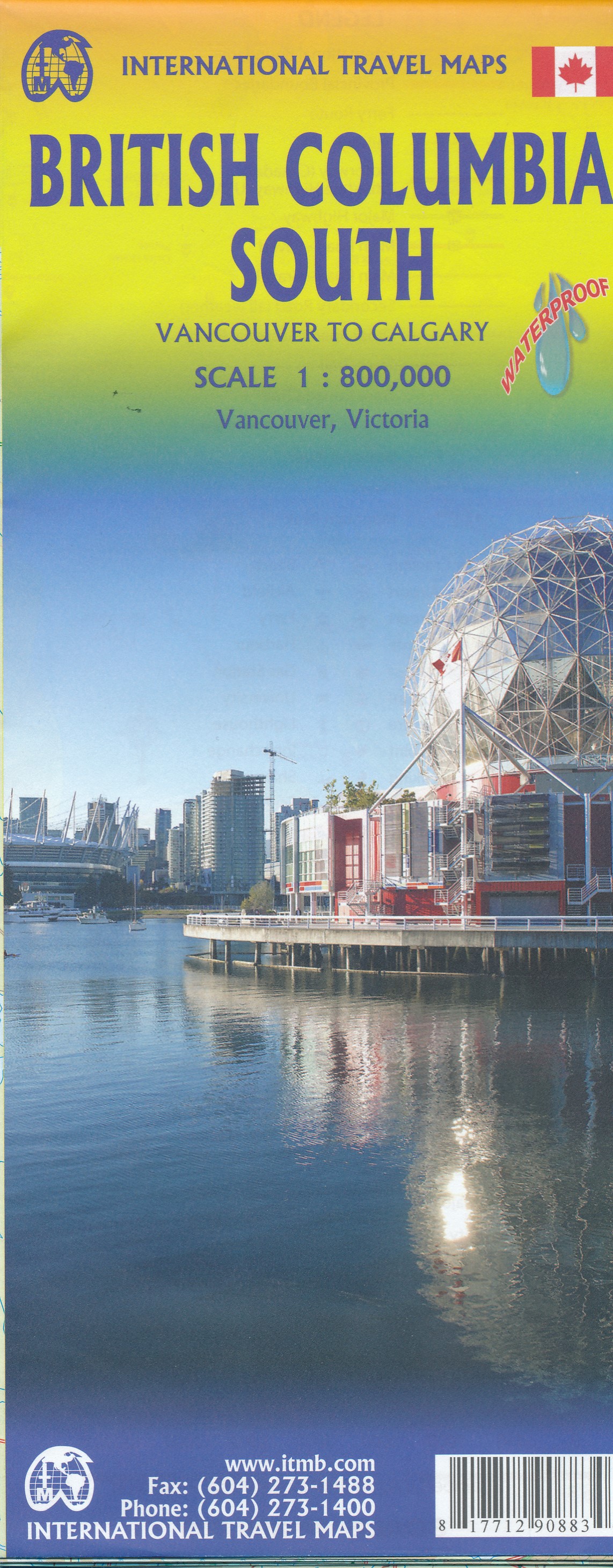
- British Columbia South ITMB
- Indexed double-sided road map at 1:800,000 from ITMB of the southern part of British Columbia, extending from Vancouver Island to Calgary to cover the whole of the Banff and Jasper National Parks, with plans of downtown Vancouver and Victoria. Coverage northwards extends to include the southern part of Haida Gwai (Queen Charlotte) Islands and... Read more
- Also available from:
- De Zwerver, Netherlands
De Zwerver
Netherlands
Netherlands
- Wegenkaart - landkaart British Columbia South (Canada) | ITMB
- Indexed double-sided road map at 1:900,000 from ITMB of the southern part of British Columbia, extending from Vancouver Island to Calgary to cover the whole of the Banff and Jasper National Parks, with plans of downtown Vancouver and Victoria. Coverage northwards extends to include the southern part of Haida Gwai (Queen Charlotte) Islands and... Read more

Stanfords
United Kingdom
United Kingdom
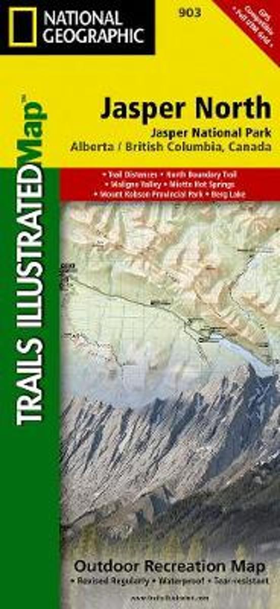
- Jasper North - Jasper National Park
- The northern part of the Jasper National Park on a double-sided, contoured, GPS compatible recreational map at 1:100,000 from the National Geographic printed on light, waterproof and tear-resistant synthetic paper. Coverage extends along the Icefields Parkway from Jasper Village and the Yellowhead Highway to the northern boundary of the... Read more
- Also available from:
- Bol.com, Netherlands
- Bol.com, Belgium
- De Zwerver, Netherlands
Bol.com
Netherlands
Netherlands
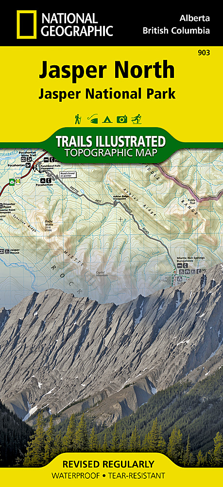
- Jasper North
- Waterproof Tear-Resistant Topographic MapNational Geographic's Trails Illustrated map of Jasper North is a two-sided, waterproof map designed to meet the needs of outdoor enthusiasts with unmatched durability and detail. This map was created in conjunction with local land management agencies and is loaded with valuable recreation... Read more
Bol.com
Belgium
Belgium
- Jasper North
- Waterproof Tear-Resistant Topographic MapNational Geographic's Trails Illustrated map of Jasper North is a two-sided, waterproof map designed to meet the needs of outdoor enthusiasts with unmatched durability and detail. This map was created in conjunction with local land management agencies and is loaded with valuable recreation... Read more
De Zwerver
Netherlands
Netherlands
- Wandelkaart - Wegenkaart - landkaart 903 Jasper North National Park | National Geographic
- The northern part of the Jasper National Park on a double-sided, contoured, GPS compatible recreational map at 1:100,000 from the National Geographic printed on light, waterproof and tear-resistant synthetic paper. Coverage extends along the Icefields Parkway from Jasper Village and the Yellowhead Highway to the northern boundary of the... Read more
De Zwerver
Netherlands
Netherlands