
Rio Grande National Forest
Description
Trails in this region
Links
Facts
Reports
Guides and maps
Lodging
Organisations
Tour operators
GPS
Other
Books


The Book Depository
United Kingdom
United Kingdom
- Uphill Both Ways
- Hiking toward Happiness on the Colorado Trail Read more

The Book Depository
United Kingdom
United Kingdom
- What We Owe to Ourselves
- a 500-mile hike on the Colorado Trail Read more


The Book Depository
United Kingdom
United Kingdom
- Colorado Trail [map Pack Bundle]
- Topographic Map Guides; Trails Illustrated Maps Read more


Bol.com
Netherlands
Netherlands
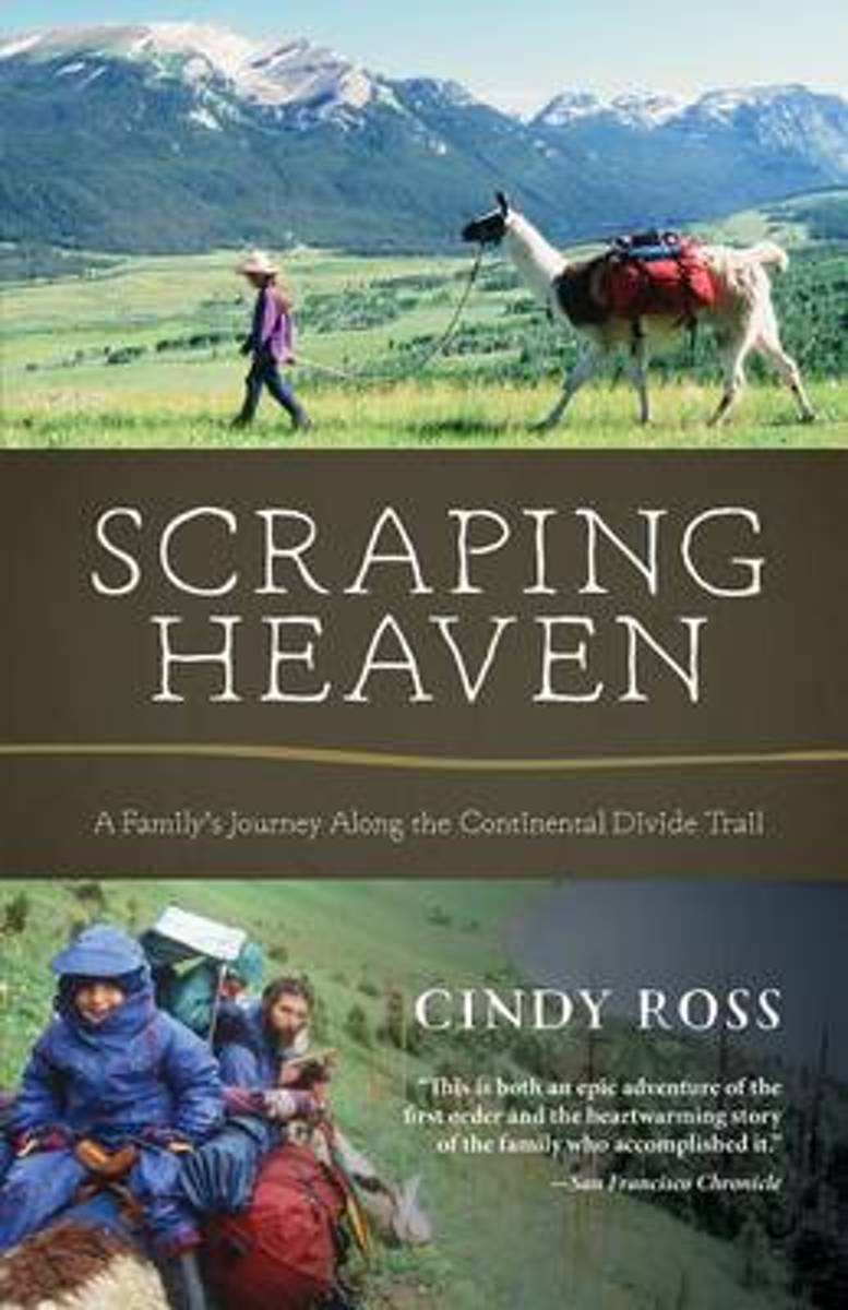
- Scraping Heaven
- More than 3,000 miles of trail by foot and mountain bikes with llamas and toddlers . . .What could go wrong? Scraping Heaven is the story of a family's adventurous trek over the rooftop of North America, a warm and heartfelt account with a powerful message for parents, long-distance hikers, and outdoor adventurers alike. The Continental Divide... Read more
- Also available from:
- Bol.com, Belgium
Bol.com
Belgium
Belgium
- Scraping Heaven
- More than 3,000 miles of trail by foot and mountain bikes with llamas and toddlers . . .What could go wrong? Scraping Heaven is the story of a family's adventurous trek over the rooftop of North America, a warm and heartfelt account with a powerful message for parents, long-distance hikers, and outdoor adventurers alike. The Continental Divide... Read more
Bol.com
Netherlands
Netherlands
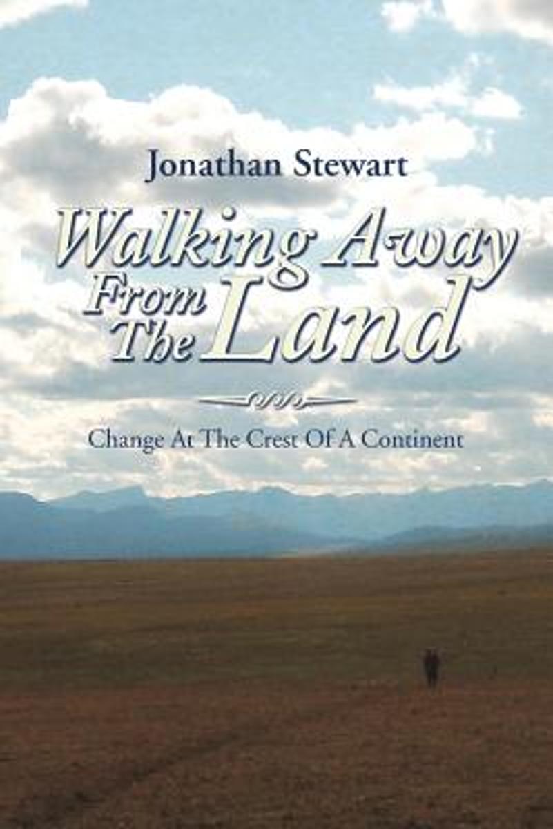
- Walking Away from the Land
- Walking Away from the Land focuses on the rapid cultural and climatic changes occurring at the crest of the North American continent. They are challenging the survival of our forests, grasslands, native wildlife, and our very civilization. This book details a three-summer Odyssey hiking the length of the Continental Divide Trail from the... Read more
- Also available from:
- Bol.com, Belgium
Bol.com
Belgium
Belgium
- Walking Away from the Land
- Walking Away from the Land focuses on the rapid cultural and climatic changes occurring at the crest of the North American continent. They are challenging the survival of our forests, grasslands, native wildlife, and our very civilization. This book details a three-summer Odyssey hiking the length of the Continental Divide Trail from the... Read more

Bol.com
Netherlands
Netherlands
- An Ultralighter's True Trail Stories
- Book two in the Journey series, this volume is filled with stories and ultralight backpacking tips from Carol "Brawny" Wellman. Trail descriptions for the Pacific Crest Trail, Appalachian Trail, John Muir Trail, Continental Divide Trail, Colorado Trail, Vermont Trail, Bartram Trail, including trail guide, plus the Foothills Trail. Learn how to... Read more
- Also available from:
- Bol.com, Belgium
Bol.com
Belgium
Belgium
- An Ultralighter's True Trail Stories
- Book two in the Journey series, this volume is filled with stories and ultralight backpacking tips from Carol "Brawny" Wellman. Trail descriptions for the Pacific Crest Trail, Appalachian Trail, John Muir Trail, Continental Divide Trail, Colorado Trail, Vermont Trail, Bartram Trail, including trail guide, plus the Foothills Trail. Learn how to... Read more
Bol.com
Netherlands
Netherlands
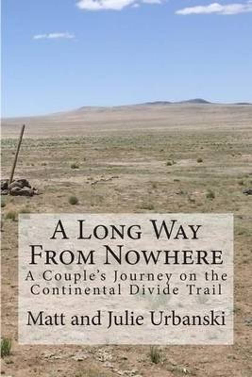
- A Long Way from Nowhere
- What is it like to hike the length of the Continental Divide Trail? For Matt and Julie, also known as Optimist and Stopwatch, life on the trail meant twenty-seven days without seeing another hiker, six bears encountered within fifteen hours, two sets of maps, a GPS, and a compass to find the trail, and both wildfires and massive flooding to add... Read more
- Also available from:
- Bol.com, Belgium
Bol.com
Belgium
Belgium
- A Long Way from Nowhere
- What is it like to hike the length of the Continental Divide Trail? For Matt and Julie, also known as Optimist and Stopwatch, life on the trail meant twenty-seven days without seeing another hiker, six bears encountered within fifteen hours, two sets of maps, a GPS, and a compass to find the trail, and both wildfires and massive flooding to add... Read more

The Book Depository
United Kingdom
United Kingdom
- Shades of Gray, Splashes of Color
- A Thru-hike of The Colorado Trail Read more
- Also available from:
- Bol.com, Netherlands
- Bol.com, Belgium
Bol.com
Netherlands
Netherlands
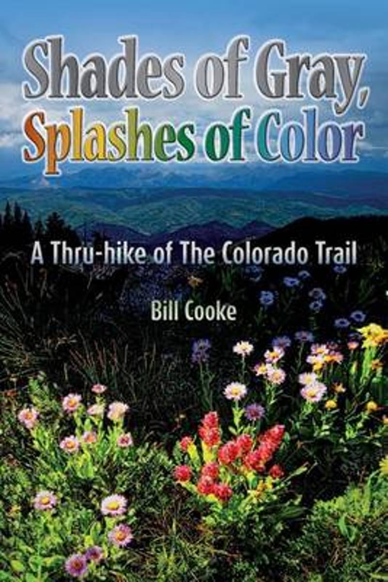
- Shades of Gray, Splashes of Color
- The Colorado Trail wends its way through the Rocky Mountains of the Centennial State, traversing a landscape as changing and diverse as the swirling afternoon clouds presaging the daily summer thunderstorms. Shades of Gray, Splashes of Color narrates Bill Cookes 2011 hike of this 486-mile trail, the length of which was a personal high for him... Read more
Bol.com
Belgium
Belgium
- Shades of Gray, Splashes of Color
- The Colorado Trail wends its way through the Rocky Mountains of the Centennial State, traversing a landscape as changing and diverse as the swirling afternoon clouds presaging the daily summer thunderstorms. Shades of Gray, Splashes of Color narrates Bill Cookes 2011 hike of this 486-mile trail, the length of which was a personal high for him... Read more

- Also available from:
- Bol.com, Netherlands
- Bol.com, Belgium
Bol.com
Netherlands
Netherlands
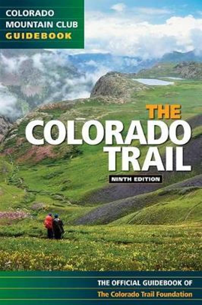
- The Colorado Trail
- Exploring all 468 miles of the Colorado Trail, this official guidebook is updated with the latest information on dozens of side trips, nearby towns, natural history, and safety considerations. Includes handy trip logs and full-color maps with GPS coordinates for each of the 28 segments. 86 color photos. Read more
Bol.com
Belgium
Belgium
- The Colorado Trail
- Exploring all 468 miles of the Colorado Trail, this official guidebook is updated with the latest information on dozens of side trips, nearby towns, natural history, and safety considerations. Includes handy trip logs and full-color maps with GPS coordinates for each of the 28 segments. 86 color photos. Read more
Bol.com
Netherlands
Netherlands
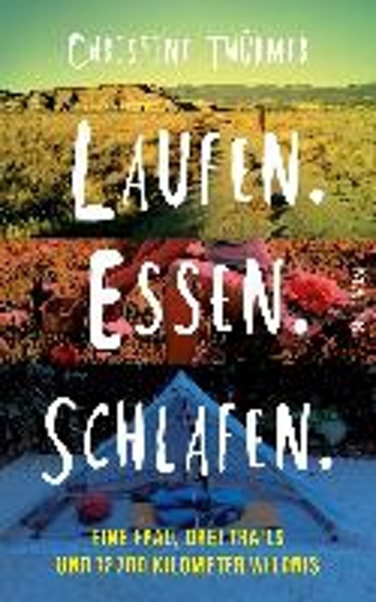
- Laufen. Essen. Schlafen.
- Als Christine Th rmer gek ndigt wird, beschlie t sie, sich eine Auszeit zu nehmen und auf dem Pacific Crest Trail von Mexiko nach Kanada zu wandern 4277 Kilometer. Eigentlich unsportlich, bricht sie zu ihrem Abenteuer auf und schafft es tats chlich bis ans Ziel. Und sie geht weiter, l uft den Continental Divide Trail und den Appalachian... Read more
- Also available from:
- Bol.com, Belgium
Bol.com
Belgium
Belgium
- Laufen. Essen. Schlafen.
- Als Christine Th rmer gek ndigt wird, beschlie t sie, sich eine Auszeit zu nehmen und auf dem Pacific Crest Trail von Mexiko nach Kanada zu wandern 4277 Kilometer. Eigentlich unsportlich, bricht sie zu ihrem Abenteuer auf und schafft es tats chlich bis ans Ziel. Und sie geht weiter, l uft den Continental Divide Trail und den Appalachian... Read more
Maps

Stanfords
United Kingdom
United Kingdom
- Montsec d’Ares - Congost de Mont-rebei
- Topographic survey of Catalonia at 1:25,000 from the Institut Cartogràfic i Geològic de Catalunya, an attractive alternative to Spain’s national topographic survey at this scale, offering a much larger area per sheet with extensive tourist information and vivid presentation of vegetation and land use.These large, detailed maps have contours at... Read more
Stanfords
United Kingdom
United Kingdom
- Balaguer - el Monestir d`Avellanes - Camarasa - Ribera de Sió
- Topographic survey of Catalonia at 1:25,000 from the Institut Cartogràfic i Geològic de Catalunya, an attractive alternative to Spain’s national topographic survey at this scale, offering a much larger area per sheet with extensive tourist information and vivid presentation of vegetation and land use.These large, detailed maps have contours at... Read more
Stanfords
United Kingdom
United Kingdom
- Lleida - Pla de Raimat
- Topographic survey of Catalonia at 1:25,000 from the Institut Cartogràfic i Geològic de Catalunya, an attractive alternative to Spain’s national topographic survey at this scale, offering a much larger area per sheet with extensive tourist information and vivid presentation of vegetation and land use.These large, detailed maps have contours at... Read more
Stanfords
United Kingdom
United Kingdom
- Costa Brava Central: les Gavarres
- Topographic survey of Catalonia at 1:25,000 from the Institut Cartogràfic i Geològic de Catalunya, an attractive alternative to Spain’s national topographic survey at this scale, offering a much larger area per sheet with extensive tourist information and vivid presentation of vegetation and land use.These large, detailed maps have contours at... Read more

Stanfords
United Kingdom
United Kingdom
- El Pont de Suert
- Topographic survey of Catalonia at 1:25,000 from the Institut Cartogràfic i Geològic de Catalunya, an attractive alternative to Spain’s national topographic survey at this scale, offering a much larger area per sheet with extensive tourist information and vivid presentation of vegetation and land use.These large, detailed maps have contours at... Read more
Stanfords
United Kingdom
United Kingdom
- Berga - Rasos de Peguera - Gironella - Casserres - Puig-reig
- Topographic survey of Catalonia at 1:25,000 from the Institut Cartogràfic i Geològic de Catalunya, an attractive alternative to Spain’s national topographic survey at this scale, offering a much larger area per sheet with extensive tourist information and vivid presentation of vegetation and land use.These large, detailed maps have contours at... Read more
Stanfords
United Kingdom
United Kingdom
- Puigcerda Llavia la Tossa d`Alp
- Topographic survey of Catalonia at 1:25,000 from the Institut Cartogràfic i Geològic de Catalunya, an attractive alternative to Spain’s national topographic survey at this scale, offering a much larger area per sheet with extensive tourist information and vivid presentation of vegetation and land use.These large, detailed maps have contours at... Read more
Stanfords
United Kingdom
United Kingdom
- Fraga - Baix Segre
- Topographic survey of Catalonia at 1:25,000 from the Institut Cartogràfic i Geològic de Catalunya, an attractive alternative to Spain’s national topographic survey at this scale, offering a much larger area per sheet with extensive tourist information and vivid presentation of vegetation and land use.These large, detailed maps have contours at... Read more
Stanfords
United Kingdom
United Kingdom
- Tàrrega - Plana d`Urgell
- Topographic survey of Catalonia at 1:25,000 from the Institut Cartogràfic i Geològic de Catalunya, an attractive alternative to Spain’s national topographic survey at this scale, offering a much larger area per sheet with extensive tourist information and vivid presentation of vegetation and land use.These large, detailed maps have contours at... Read more
Stanfords
United Kingdom
United Kingdom
- Alta Garrotxa - la Muga
- Topographic survey of Catalonia at 1:25,000 from the Institut Cartogràfic i Geològic de Catalunya, an attractive alternative to Spain’s national topographic survey at this scale, offering a much larger area per sheet with extensive tourist information and vivid presentation of vegetation and land use.These large, detailed maps have contours at... Read more
Stanfords
United Kingdom
United Kingdom
- La Seu d’Urgell - PN de l’Alt Pirineu
- Topographic survey of Catalonia at 1:25,000 from the Institut Cartogràfic i Geològic de Catalunya, an attractive alternative to Spain’s national topographic survey at this scale, offering a much larger area per sheet with extensive tourist information and vivid presentation of vegetation and land use.These large, detailed maps have contours at... Read more
Stanfords
United Kingdom
United Kingdom
- Alt Cardener - el Port del Comte
- Topographic survey of Catalonia at 1:25,000 from the Institut Cartogràfic i Geològic de Catalunya, an attractive alternative to Spain’s national topographic survey at this scale, offering a much larger area per sheet with extensive tourist information and vivid presentation of vegetation and land use.These large, detailed maps have contours at... Read more
Stanfords
United Kingdom
United Kingdom
- Les Borges Blanques
- Topographic survey of Catalonia at 1:25,000 from the Institut Cartogràfic i Geològic de Catalunya, an attractive alternative to Spain’s national topographic survey at this scale, offering a much larger area per sheet with extensive tourist information and vivid presentation of vegetation and land use.These large, detailed maps have contours at... Read more
Stanfords
United Kingdom
United Kingdom
- Amposta - Pla de la Galera - Montsià - Riu de la Sénia
- Topographic survey of Catalonia at 1:25,000 from the Institut Cartogràfic i Geològic de Catalunya, an attractive alternative to Spain’s national topographic survey at this scale, offering a much larger area per sheet with extensive tourist information and vivid presentation of vegetation and land use.These large, detailed maps have contours at... Read more
Stanfords
United Kingdom
United Kingdom
- Vielha - Baish Aran - Mijaran - Naut Aran
- Topographic survey of Catalonia at 1:25,000 from the Institut Cartogràfic i Geològic de Catalunya, an attractive alternative to Spain’s national topographic survey at this scale, offering a much larger area per sheet with extensive tourist information and vivid presentation of vegetation and land use.These large, detailed maps have contours at... Read more