
Great Allegheny Passage
Description
- Name Great Allegheny Passage
- Length of trail 512 km, 318 miles
- Length in days 26 days
- Traildino grading EW, Easy walk, nature trail
 The Great Allegheny Passage will connect, when finished, Cumberland in Maryland and Washington DC. The share-use trail (hiking, biking) is a continuous corridor for the non-motorized, 318 miles (512 km) long.
Select some tracks
☐Great Allegheny Passage, 247km
Map

Links
Facts
Reports
Guides and maps
Lodging
Organisations
Tour operators
GPS
Other
Books

Bol.com
Netherlands
Netherlands
- Gravel Cycling
- Head out for adventure on the unpaved back roads of America with Nick Legans complete guide to gravel grinders and bikepacking!Gravel cycling is a glorious return to the purest roots of two-wheeled adventure. From farm roads and miners paths to the high passes of the Rockies and the Alps, gravel cycling and bikepacking will set you free to... Read more
- Also available from:
- Bol.com, Belgium
Bol.com
Belgium
Belgium
- Gravel Cycling
- Head out for adventure on the unpaved back roads of America with Nick Legans complete guide to gravel grinders and bikepacking!Gravel cycling is a glorious return to the purest roots of two-wheeled adventure. From farm roads and miners paths to the high passes of the Rockies and the Alps, gravel cycling and bikepacking will set you free to... Read more
Bol.com
Netherlands
Netherlands
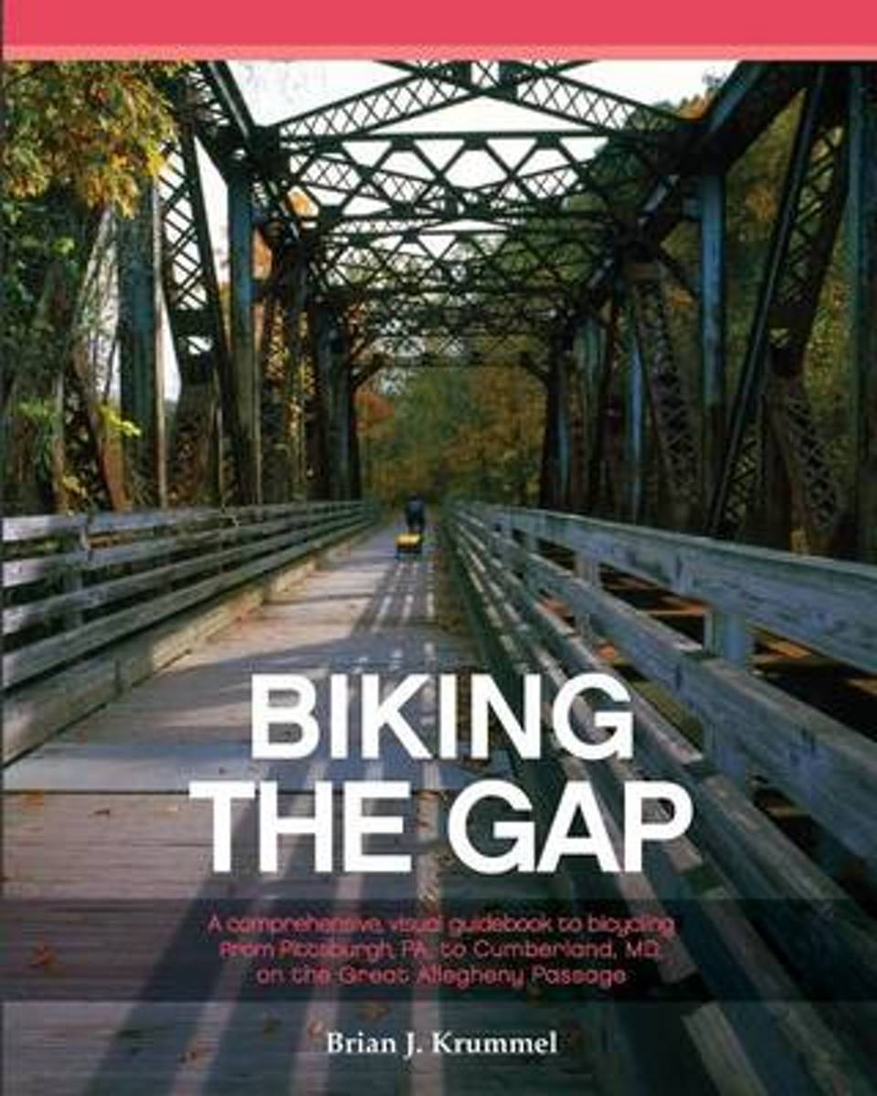
- Biking the Gap
- The Great Allegheny Passage (GAP) is a bicycle rail trail extending 150 milesbetween Pittsburgh, PA, and Cumberland, MD. Defunct railroad lines function as arestored corridor, connecting southwestern PA and northern MD.Visualize a crushed limestone trail that rambles through urban neighborhoods,fertile farmlands, and panoramic mountain ranges.... Read more
- Also available from:
- Bol.com, Belgium
Bol.com
Belgium
Belgium
- Biking the Gap
- The Great Allegheny Passage (GAP) is a bicycle rail trail extending 150 milesbetween Pittsburgh, PA, and Cumberland, MD. Defunct railroad lines function as arestored corridor, connecting southwestern PA and northern MD.Visualize a crushed limestone trail that rambles through urban neighborhoods,fertile farmlands, and panoramic mountain ranges.... Read more