
New Mexico
Description
New Mexico is mountainous with countless rugged features, open plains and arid deserts.
Important trails here are the Continental Divide Trail and the Grand Enchantment Trail (also in Arizona).
Thousands of miles of (alpine) trails run through the Santa Fe National Forest and Gila National Forest. Also interesting are the Carson National Forest, the Lincoln National Forest and the Cibola National Forest.
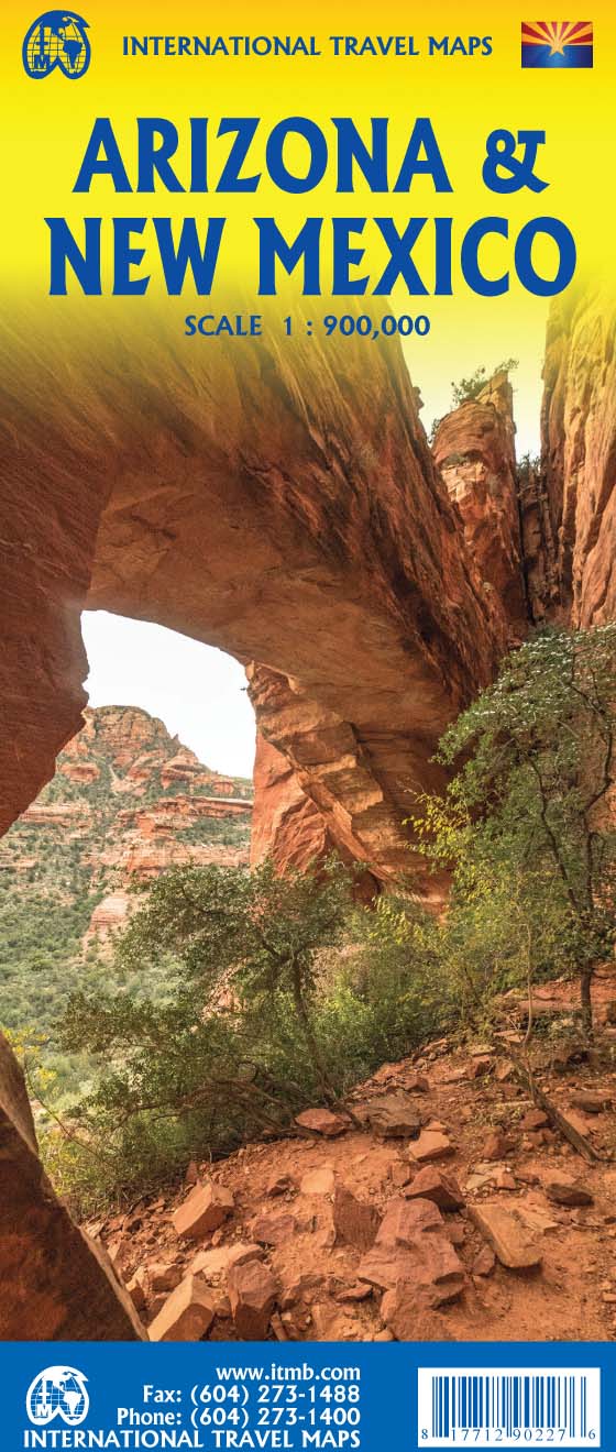
Map

Trails in this state
Links
Facts
Reports
Guides and maps
Lodging
Organisations
Tour operators
GPS
Other
Books

Stanfords
United Kingdom
United Kingdom
- The Golden Age
- Charles V, Emperor of Europe and the New World, is the central figure The Golden age, the second volume of Hugh Thomas’s superb history of the Spanish Empire. It begins with the return of the remnants of Magellan’s expedition around the world in 1522 and ends with Charles’s death in 1558. In the decades between, the Spaniards conquer Guatemala,... Read more

Stanfords
United Kingdom
United Kingdom
- Windswept: Walking in the Footsteps of Remarkable Women
- The story of extraordinary women who lost their way - their sense of self, their identity, their freedom - and found it again through walking in the wild. A feminist exploration of the power of walking in nature, following in the footsteps of Gwen John, Georgia O`Keeffe, Frieda Lawrence, Clara Vyvyan, Simone de Beauvoir, Daphne Du Maurier and... Read more

The Book Depository
United Kingdom
United Kingdom
- Best Wildflower Hikes New Mexico
- A Guide to the Area's Greatest Wildflower Hiking Adventures Read more

Stanfords
United Kingdom
United Kingdom
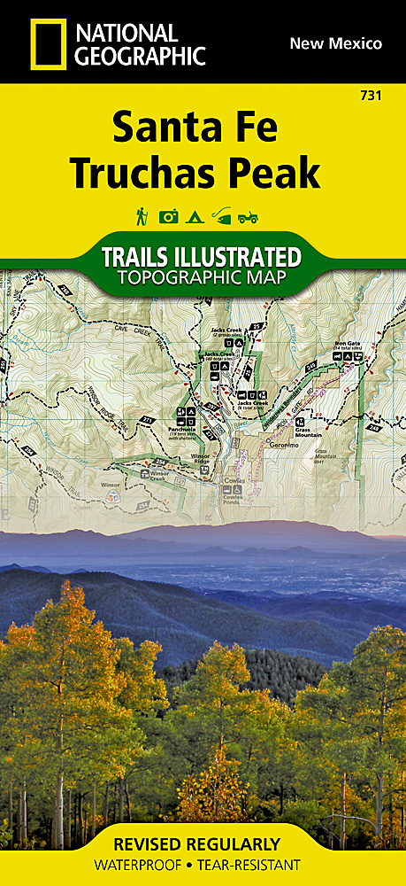
- Santa Fe - Truchas Peak NM
- Map No. 731, Santa Fe - Truchas Peak in New Mexico at 1:63,360, part of an extensive series of GPS compatible, contoured hiking maps of USA’s national and state parks or forests and other popular recreational areas. Cartography, based on the national topographic survey, has extensive additional tourist information.The maps, printed on light,... Read more
- Also available from:
- The Book Depository, United Kingdom
- De Zwerver, Netherlands

De Zwerver
Netherlands
Netherlands
- Wandelkaart 731 Santa Fe, Truchas Peak | National Geographic
- Trails Illustrated Read more

Stanfords
United Kingdom
United Kingdom
- Windswept: why women walk
- The story of extraordinary women who lost their way - their sense of self, their identity, their freedom - and found it again through walking in the wild. `Moving and memorable` Virginia Nicholson, author of How Was It for You?`A triumph ... I felt as though I were being lifted, carried up to peaks` Charlotte Peacock, author of Into the... Read more
- Also available from:
- The Book Depository, United Kingdom

Bol.com
Netherlands
Netherlands
- Romantic Santa Fe Getaway Guide
- Romantic Santa Fe is an insider's guide to a couple's getaway in Santa Fe, New Mexico and surrounding region, with 35 inspired itineraries that will take lovers to the hearts of the city, from world-renowned art galleries and museums to award-winning restaurants, architectural treasures, high-mountain hiking trails and more. Romantic diversions... Read more
- Also available from:
- Bol.com, Belgium
Bol.com
Belgium
Belgium
- Romantic Santa Fe Getaway Guide
- Romantic Santa Fe is an insider's guide to a couple's getaway in Santa Fe, New Mexico and surrounding region, with 35 inspired itineraries that will take lovers to the hearts of the city, from world-renowned art galleries and museums to award-winning restaurants, architectural treasures, high-mountain hiking trails and more. Romantic diversions... Read more

Stanfords
United Kingdom
United Kingdom
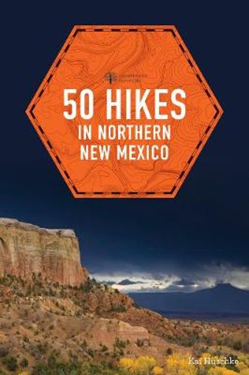
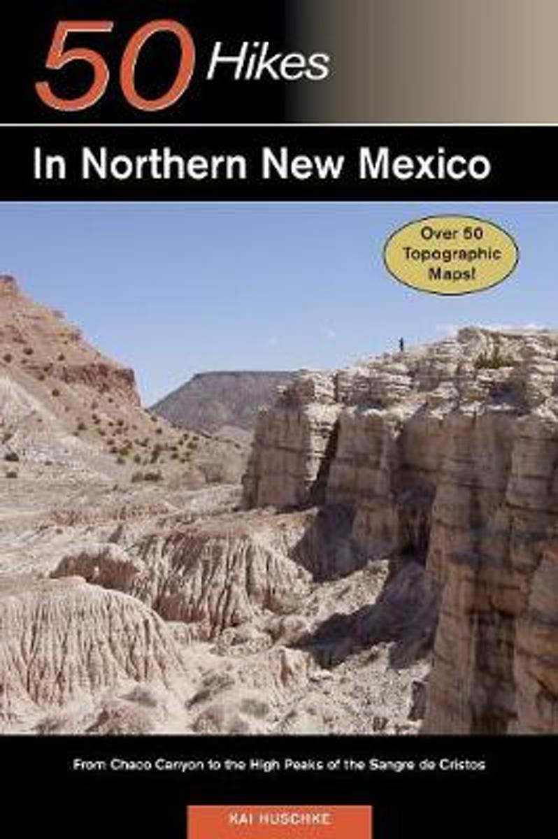
- 50 Hikes in Northern New Mexico
- This is your guide to more than 50 spectacular and sublime walks, hikes, and backpacking adventures accessing the Jemez and Sangre de Cristo Mountains, contorted volcanic formations, and striated canyons.Move across the expansive Valle Grande; pierce the clouds on Wheeler Peak. Wade through a sea of wildflowers along subalpine lakes in the... Read more
- Also available from:
- Bol.com, Netherlands
- Bol.com, Belgium
Bol.com
Netherlands
Netherlands
- 50 Hikes in Northern New Mexico
- This is your guide to more than 50 spectacular and sublime walks, hikes, and backpacking adventures accessing the Jemez and Sangre de Cristo Mountains, contorted volcanic formations, and striated canyons. Move across the expansive Valle Grande; pierce the clouds on Wheeler Peak. Wade through a sea of wildflowers along subalpine lakes in the... Read more
Bol.com
Belgium
Belgium
- 50 Hikes in Northern New Mexico
- This is your guide to more than 50 spectacular and sublime walks, hikes, and backpacking adventures accessing the Jemez and Sangre de Cristo Mountains, contorted volcanic formations, and striated canyons. Move across the expansive Valle Grande; pierce the clouds on Wheeler Peak. Wade through a sea of wildflowers along subalpine lakes in the... Read more
Bol.com
Netherlands
Netherlands
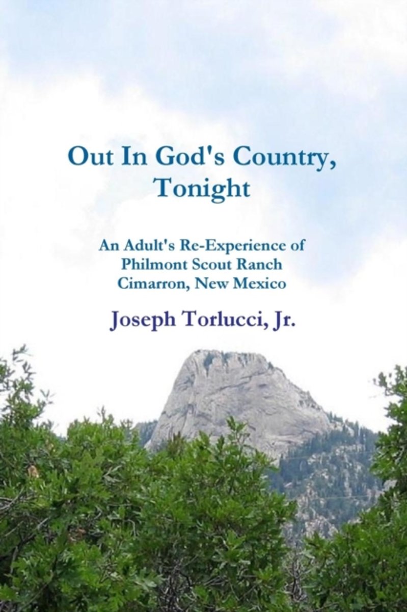
- Out In God's Country, Tonight - An Adult's Re-Experience of Philmont Scout Ranch, Cimarron, New Mexico
- Philmont offers arguably the most challenging personal and group experiences available through Boy Scouting. Join in on the adventure as an adult Scouter returns to Philmont after 33 years with 11 other crew members, including two of his sons. The daily diary is both insightful and inspirational, providing those who have yet to experience... Read more
- Also available from:
- Bol.com, Belgium
Bol.com
Belgium
Belgium
- Out In God's Country, Tonight - An Adult's Re-Experience of Philmont Scout Ranch, Cimarron, New Mexico
- Philmont offers arguably the most challenging personal and group experiences available through Boy Scouting. Join in on the adventure as an adult Scouter returns to Philmont after 33 years with 11 other crew members, including two of his sons. The daily diary is both insightful and inspirational, providing those who have yet to experience... Read more
Bol.com
Netherlands
Netherlands
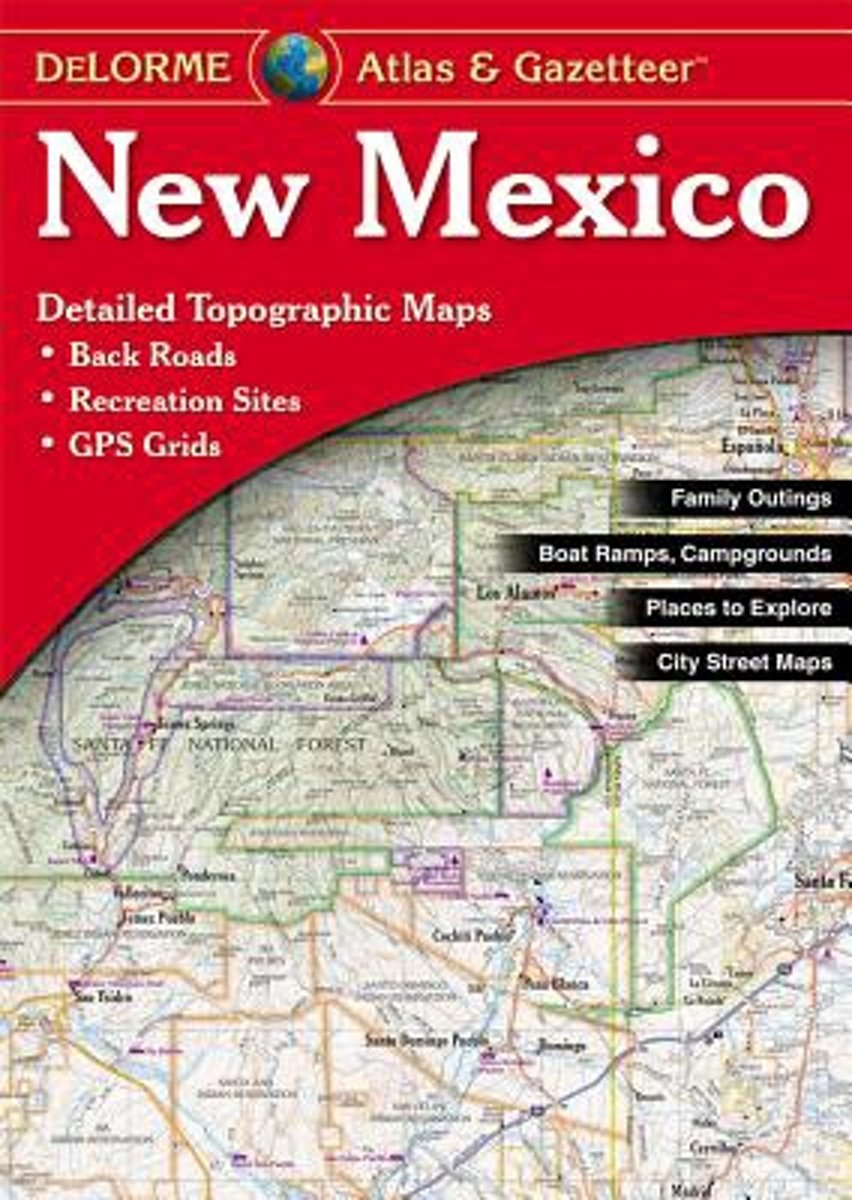
- New Mexico Atlas & Gazetteer
- A uniquely useful resource, the Atlas & Gazetteer* Series is great for information on camping, hiking, fishing, hunting, bike and motorcycle touring, birdwatching, back road exploration, and more. A guide is available for all 50 American states. Read more
- Also available from:
- Bol.com, Belgium
Bol.com
Belgium
Belgium
- New Mexico Atlas & Gazetteer
- A uniquely useful resource, the Atlas & Gazetteer* Series is great for information on camping, hiking, fishing, hunting, bike and motorcycle touring, birdwatching, back road exploration, and more. A guide is available for all 50 American states. Read more
Bol.com
Netherlands
Netherlands
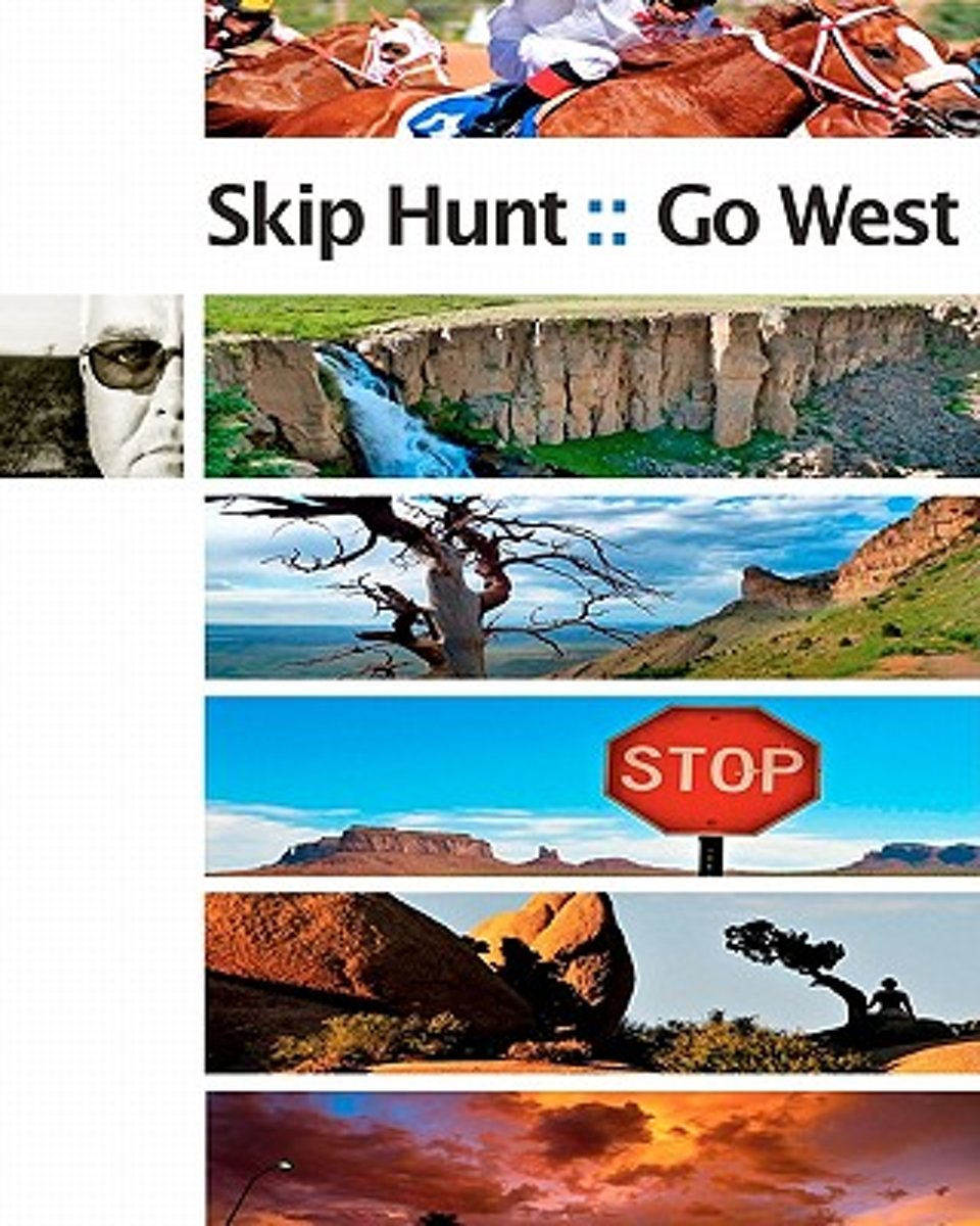
- Skip Hunt Go West
- Fine art photographer Skip Hunt of Austin, Texas traveled Westward via motorcycle in search of the exotic within the mundane. He found so much more!This issue contains the entire set of chronicles from Texas, New Mexico, Colorado, Utah, Nevada, California and Arizona.What began as a curious wandering with no particular path or direction, became... Read more
- Also available from:
- Bol.com, Belgium
Bol.com
Belgium
Belgium
- Skip Hunt Go West
- Fine art photographer Skip Hunt of Austin, Texas traveled Westward via motorcycle in search of the exotic within the mundane. He found so much more!This issue contains the entire set of chronicles from Texas, New Mexico, Colorado, Utah, Nevada, California and Arizona.What began as a curious wandering with no particular path or direction, became... Read more
Bol.com
Netherlands
Netherlands
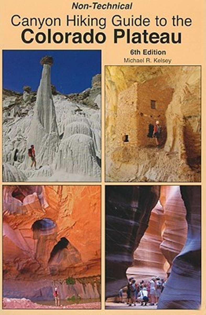
- Non-Technical Canyon Hiking Guide to the Colorado Plateau
- In addition to hike descriptions and maps this book includes some information about the Native Americans of the Colorado Plateau, geology cross-sections of the Colorado Plateau, and best hikes of the area. The hikes are for New Mexico, Colorado, Utah, and Arizona. Read more
- Also available from:
- Bol.com, Belgium
Bol.com
Belgium
Belgium
- Non-Technical Canyon Hiking Guide to the Colorado Plateau
- In addition to hike descriptions and maps this book includes some information about the Native Americans of the Colorado Plateau, geology cross-sections of the Colorado Plateau, and best hikes of the area. The hikes are for New Mexico, Colorado, Utah, and Arizona. Read more
Bol.com
Netherlands
Netherlands
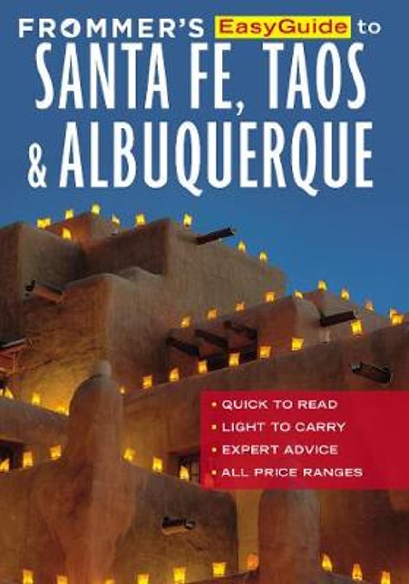
- Frommer's EasyGuide to Santa Fe, Taos and Albuquerque
- Frommers books arent written by committee, or by travel writers who simply pop in briefly to a destination and then consider the job done. We employ the best local experts to author our guides, like Don and Barbara Laine, award-winning journalists who live in New Mexico and love sharing their home state with awed visitors. Their insiders... Read more
- Also available from:
- Bol.com, Belgium
Bol.com
Belgium
Belgium
- Frommer's EasyGuide to Santa Fe, Taos and Albuquerque
- Frommers books arent written by committee, or by travel writers who simply pop in briefly to a destination and then consider the job done. We employ the best local experts to author our guides, like Don and Barbara Laine, award-winning journalists who live in New Mexico and love sharing their home state with awed visitors. Their insiders... Read more
Bol.com
Netherlands
Netherlands
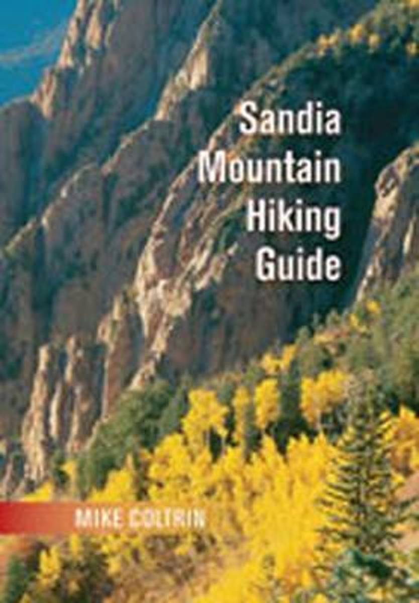
- Sandia Mountain Hiking Guide
- The most complete and up-to-date resource for Sandia Mountain hikers, this guide presents information on fifty-seven trails covering a total distance of about 175 miles. Each trail entry begins with the length of the trail, the elevation gain, and degree of difficulty. The author, who has hiked each trail many times, gives directions to the... Read more
- Also available from:
- Bol.com, Belgium
Bol.com
Belgium
Belgium
- Sandia Mountain Hiking Guide
- The most complete and up-to-date resource for Sandia Mountain hikers, this guide presents information on fifty-seven trails covering a total distance of about 175 miles. Each trail entry begins with the length of the trail, the elevation gain, and degree of difficulty. The author, who has hiked each trail many times, gives directions to the... Read more
Bol.com
Netherlands
Netherlands
- Explorer's Guide 50 Hikes in Northern New Mexico
- This is your guide to more than 50 spectacular and sublime walks, hikes, and backpacking adventures accessing the Jemez and Sangre de Cristo mountains, contorted volcanic formations, and striated canyons. Move across the expansive Valle Grande; pierce the clouds on Wheeler Peak; wade through a sea of wildflowers along subalpine lakes in the... Read more
- Also available from:
- Bol.com, Belgium
Bol.com
Belgium
Belgium
- Explorer's Guide 50 Hikes in Northern New Mexico
- This is your guide to more than 50 spectacular and sublime walks, hikes, and backpacking adventures accessing the Jemez and Sangre de Cristo mountains, contorted volcanic formations, and striated canyons. Move across the expansive Valle Grande; pierce the clouds on Wheeler Peak; wade through a sea of wildflowers along subalpine lakes in the... Read more
Bol.com
Netherlands
Netherlands
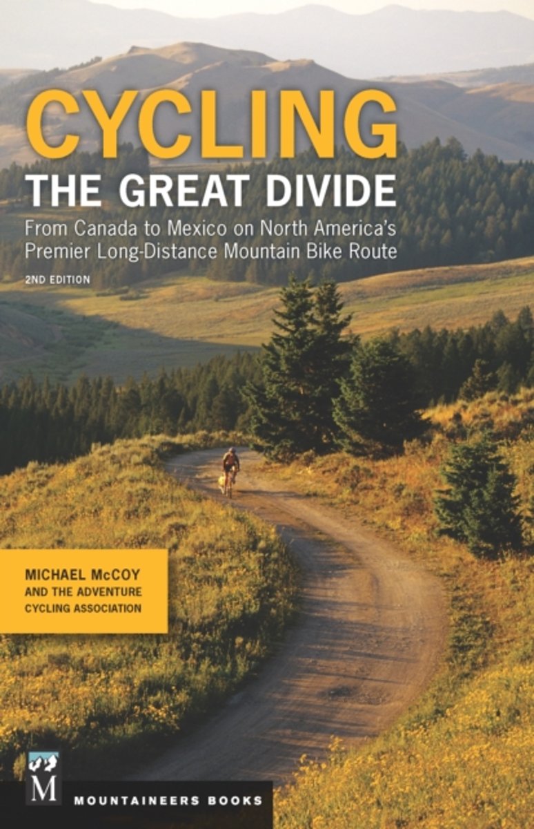
- Cycling The Great Divide
- The only guidebook to one of the world's premier long-distance mountain bike trails * Mountain bikers from around the world test their mettle on this 2,745-mile route each year * Ultra cycling, including this route through the Rockies, are increasing in popularity * 245 miles have been added to the route since the first edition was published... Read more
- Also available from:
- Bol.com, Belgium
Bol.com
Belgium
Belgium
- Cycling The Great Divide
- The only guidebook to one of the world's premier long-distance mountain bike trails * Mountain bikers from around the world test their mettle on this 2,745-mile route each year * Ultra cycling, including this route through the Rockies, are increasing in popularity * 245 miles have been added to the route since the first edition was published... Read more
Maps

Stanfords
United Kingdom
United Kingdom
- New Mexico Benchmark Road & Recreation Atlas
- New Mexico at 1:400,000 in a series of excellent, detailed, GPS compatible state atlases from Benchmark Maps with extensive information on diverse recreational opportunities and facilities. The main section of the atlas, the Landscape Maps, presents the whole state on 56 pages of detailed mapping at 1:285,000. The Recreational Section is... Read more
Stanfords
United Kingdom
United Kingdom
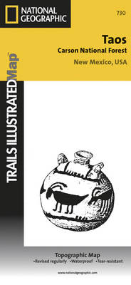
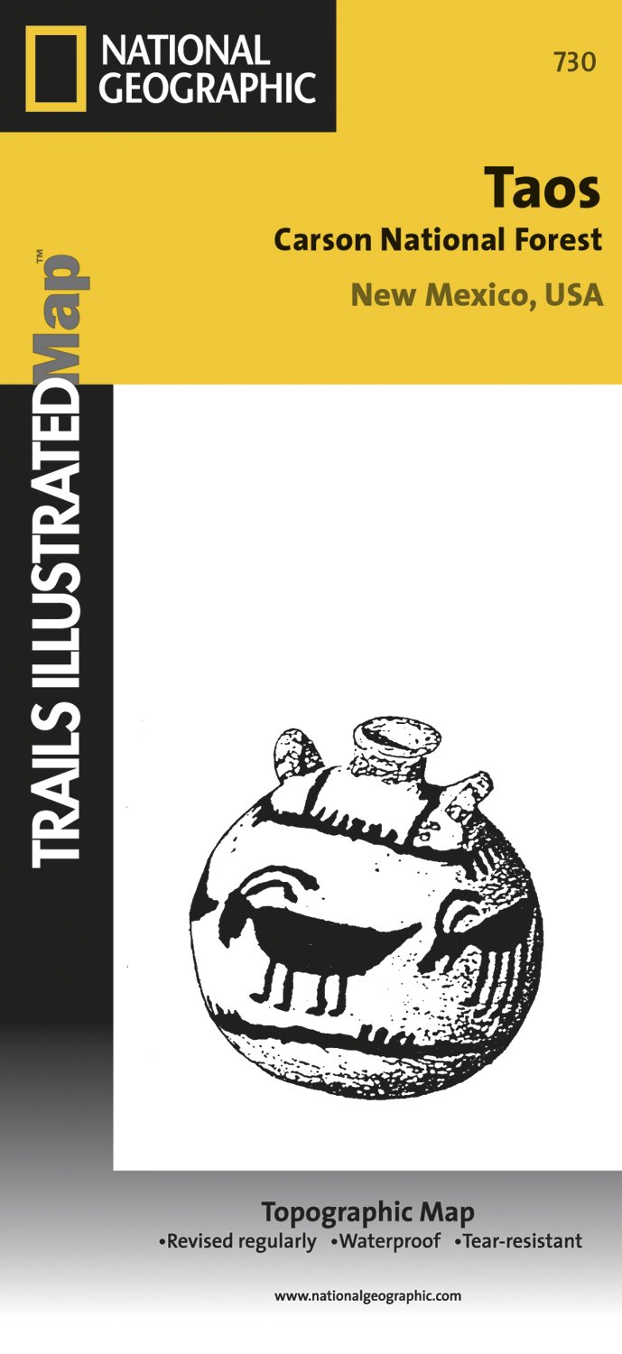
- Taos Area NM
- Map No. 730, Taos Area of New Mexico, at 1:40,680 in an extensive series of GPS compatible, contoured hiking maps of USA’s national and state parks or forests and other popular recreational areas. Cartography based on the national topographic survey, with additional tourist information.The maps, with most titles now printed on light, waterproof... Read more
- Also available from:
- The Book Depository, United Kingdom
- De Zwerver, Netherlands

De Zwerver
Netherlands
Netherlands
- Wandelkaart - Topografische kaart 730 Taos Carson National Forest | National Geographic
- Map No. 730, Taos Area of New Mexico, at 1:40,680 in an extensive series of GPS compatible, contoured hiking maps of USA Read more

Stanfords
United Kingdom
United Kingdom
- Glacier - Waterton Lakes National Park MT
- Map No. 215, Glacier/Waterton Lakes National Park, MT, in an extensive series of GPS compatible, contoured hiking maps of USA’s national and state parks or forests and other popular recreational areas. Cartography based on the national topographic survey, with additional tourist information.The maps, with most titles now printed on light,... Read more
- Also available from:
- Bol.com, Netherlands
- Bol.com, Belgium
- De Zwerver, Netherlands

Bol.com
Netherlands
Netherlands
- Glacier/waterton Lakes National Parks
- Waterproof Tear-Resistant Topographic MapNational Geographic's Trails Illustrated map of Glacier and Waterton Lakes National Parks offers unparalleled detail for outdoor enthusiasts exploring the pristine landscape of forests, mountains, lakes, and meadows within these two spectacular parks. Created in partnership with local land... Read more
Bol.com
Belgium
Belgium
- Glacier/waterton Lakes National Parks
- Waterproof Tear-Resistant Topographic MapNational Geographic's Trails Illustrated map of Glacier and Waterton Lakes National Parks offers unparalleled detail for outdoor enthusiasts exploring the pristine landscape of forests, mountains, lakes, and meadows within these two spectacular parks. Created in partnership with local land... Read more

De Zwerver
Netherlands
Netherlands
- Wandelkaart - Topografische kaart 215 Glacier - Waterton Lakes National Park | National Geographic
- Prachtige geplastificeerde kaart van het bekende nationaal park. Met alle recreatieve voorzieningen als campsites, maar ook met topografische details en wandelroutes ed. Door uitgekiend kleurgebruik zeer prettig in gebruik. Scheur en watervast! Waterton Lakes National Park, Canada includes Waterton Park, Upper and Middle Waterton Lakes, The... Read more


Stanfords
United Kingdom
United Kingdom
- Many Glacier - Glacier and Waterton Lakes National Parks MT
- Map No. 313, Glacier National Park: North Fork, MT, in an extensive series of GPS compatible, contoured hiking maps of USA’s national and state parks or forests and other popular recreational areas. Cartography based on the national topographic survey, with additional tourist information.The maps, with most titles now printed on light,... Read more
- Also available from:
- Bol.com, Netherlands
- Bol.com, Belgium
- De Zwerver, Netherlands

Bol.com
Netherlands
Netherlands
- Many Glacier, Glacier National Park
- Waterproof Tear-Resistant Topographic MapLocated just north of Kalispell in Montana's northwest corner, Glacier National contains an abundance of recreational opportunities for outdoor enthusiasts of all interests.This detailed topographic recreation map contains carefully researched trails, campsites, forest service roads, and... Read more
Bol.com
Belgium
Belgium
- Many Glacier, Glacier National Park
- Waterproof Tear-Resistant Topographic MapLocated just north of Kalispell in Montana's northwest corner, Glacier National contains an abundance of recreational opportunities for outdoor enthusiasts of all interests.This detailed topographic recreation map contains carefully researched trails, campsites, forest service roads, and... Read more

De Zwerver
Netherlands
Netherlands
- Wandelkaart - Topografische kaart 314 Many Glacier - Glacier and Waterton Lakes National Parks | National Geographic
- Prachtige geplastificeerde kaart van het bekende nationaal park. Met alle recreatieve voorzieningen als campsites, maar ook met topografische details en wandelroutes ed. Door uitgekiend kleurgebruik zeer prettig in gebruik. Scheur en watervast! Located just north of Kalispell in Montana's northwest corner, Glacier National contains an... Read more

Stanfords
United Kingdom
United Kingdom
- Telluride - Silverton - Ouray - Lake City CO
- Map No. 141, Telluride - Silverton - Ouray - Lake City, CO, in an extensive series of GPS compatible, contoured hiking maps of USA’s national and state parks or forests and other popular recreational areas. Cartography based on the national topographic survey, with additional tourist information.The maps, with most titles now printed on light,... Read more
- Also available from:
- The Book Depository, United Kingdom
- Bol.com, Netherlands
- Bol.com, Belgium
- De Zwerver, Netherlands


Bol.com
Netherlands
Netherlands
- Telluride/silverton/ouray/lake City
- Waterproof Tear-Resistant Topographic MapExpertly researched and created in partnership with local land management agencies, National Geographic's Trails Illustrated map of Telluride, Silverton, Ouray, and Lake City provides an unparalleled tool for exploring this breathtaking region of Colorado. Whatever the season, you'll find this map... Read more
Bol.com
Belgium
Belgium
- Telluride/silverton/ouray/lake City
- Waterproof Tear-Resistant Topographic MapExpertly researched and created in partnership with local land management agencies, National Geographic's Trails Illustrated map of Telluride, Silverton, Ouray, and Lake City provides an unparalleled tool for exploring this breathtaking region of Colorado. Whatever the season, you'll find this map... Read more

De Zwerver
Netherlands
Netherlands
- Wandelkaart - Topografische kaart 141 Telluride, Silverton, Ouray, Lake City | National Geographic
- Prachtige geplastificeerde kaart van het bekende nationaal park. Met alle recreatieve voorzieningen als campsites, maar ook met topografische details en wandelroutes ed. Door uitgekiend kleurgebruik zeer prettig in gebruik. Scheur en watervast! Beautiful waterproof and tear-resistant topographical hiking map of a well-loved National Park, with... Read more