Cook Islands
Description
Links
Facts
Reports
Guides and maps
Lodging
Organisations
Tour operators
GPS
Other
Maps

Stanfords
United Kingdom
United Kingdom
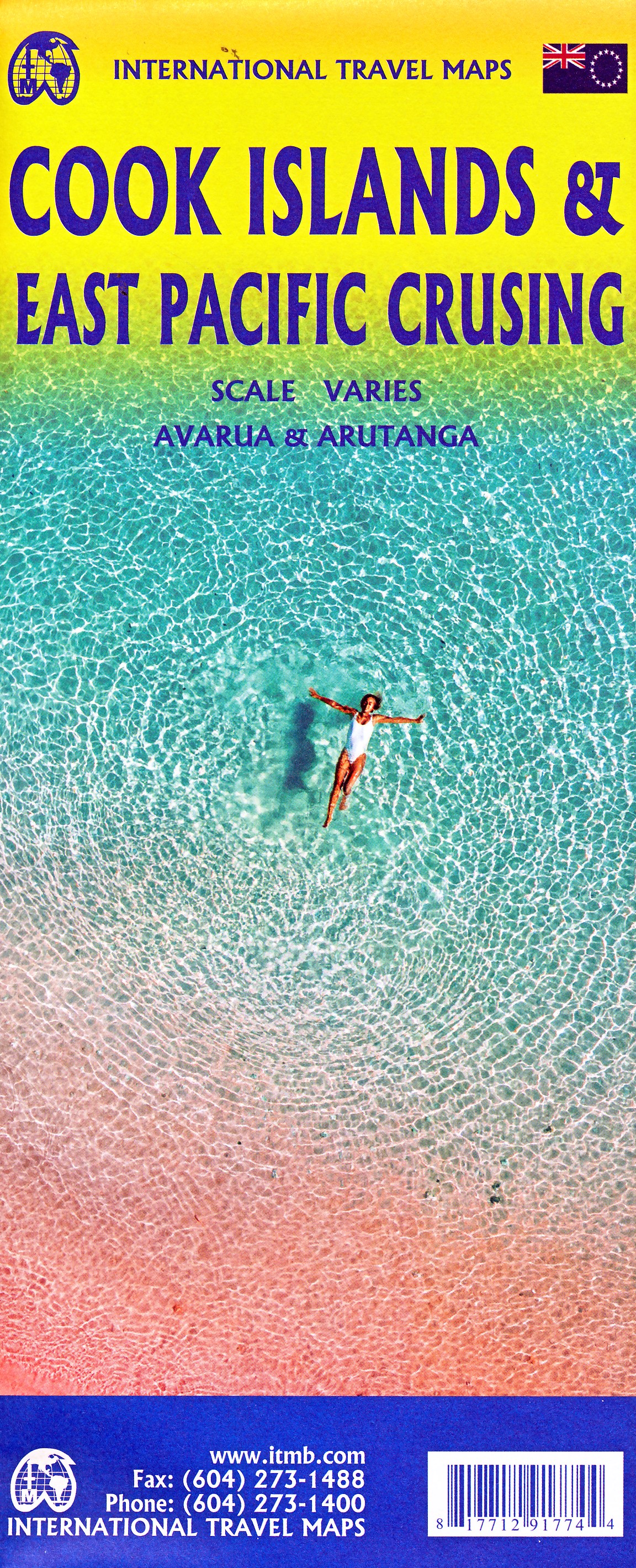
- Tahiti & Cook Islands ITMB
- Tahiti and the Society Islands at 1:100,000 on an indexed map from ITMB with a street plan of central Papeete. The map presents Tahiti and Moorea together, with other islands on separate panels: Bora Bora, Tahaa with Raiatea, Hu ahine, Tupai, Maiao and Maupiti. Topography of each island is shown by bright altitude colouring with contours at 50m... Read more

Stanfords
United Kingdom
United Kingdom
- NZ945 Plans of the Cook Islands - Northern Sheet
- Plans included: Penrhyn 1:75,000Suwarrow 1:100,000Nassau 1:75,000Manihiki 1:75,000Rakahanga 1:50,000Suwarrow Lagoon Entrance 1:25,000Pukapuka 1:100,000Penrhyn Taruia Passage 1:6,000Penrhyn Taruia Passage to Gudgeon Bay 1:12,500Nautical charts for New Zealand, created by Land Information New Zealand (LINZ), are printed on demand at Stanfords... Read more

Stanfords
United Kingdom
United Kingdom
- NZ955 Plans of the Cook Islands - Southern Sheet
- Plans included: Takutea 1:75,000Atiu 1:75,000Mangaia 1:75,000Manuae 1:75,000Palmerston 1:75,000Mitiaro 1:75,000Mauke 1:75,000Aitutaki 1:60,000Arutanga Anchorage 1:15,000Nautical charts for New Zealand, created by Land Information New Zealand (LINZ), are printed on demand at Stanfords after your order is placed and processed. They provide a... Read more
More maps…