
Three Peaks
Description
The "Three Peaks" refer to the highest peaks in Scotland, England and Wales. The Three Peaks challenge involves climbing Snowdon, Scafell Pike and Ben Nevis, in under 24 hours.
Links
Facts
Reports
Guides and maps
Lodging
Organisations
Tour operators
GPS
Other
Books

Stanfords
United Kingdom
2019
United Kingdom
2019
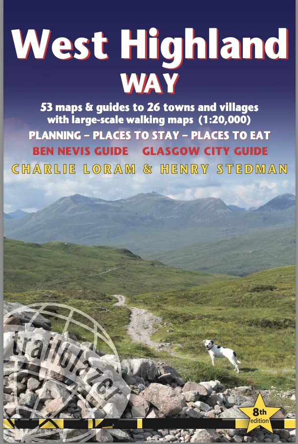
- West Highland Way: Glasgow to Fort William
- Fully revised 7th edition. The West Highland Way passes through some of the most spectacular scenery in all of Britain. From the outskirts of Glasgow it winds for 96 miles (154.5km) along the wooded banks of Loch Lomond, across the wilderness of Rannoch Moor, over the mountains above Glencoe to a dramatic finish passing Ben Nevis - Britain`s... Read more

Stanfords
United Kingdom
United Kingdom
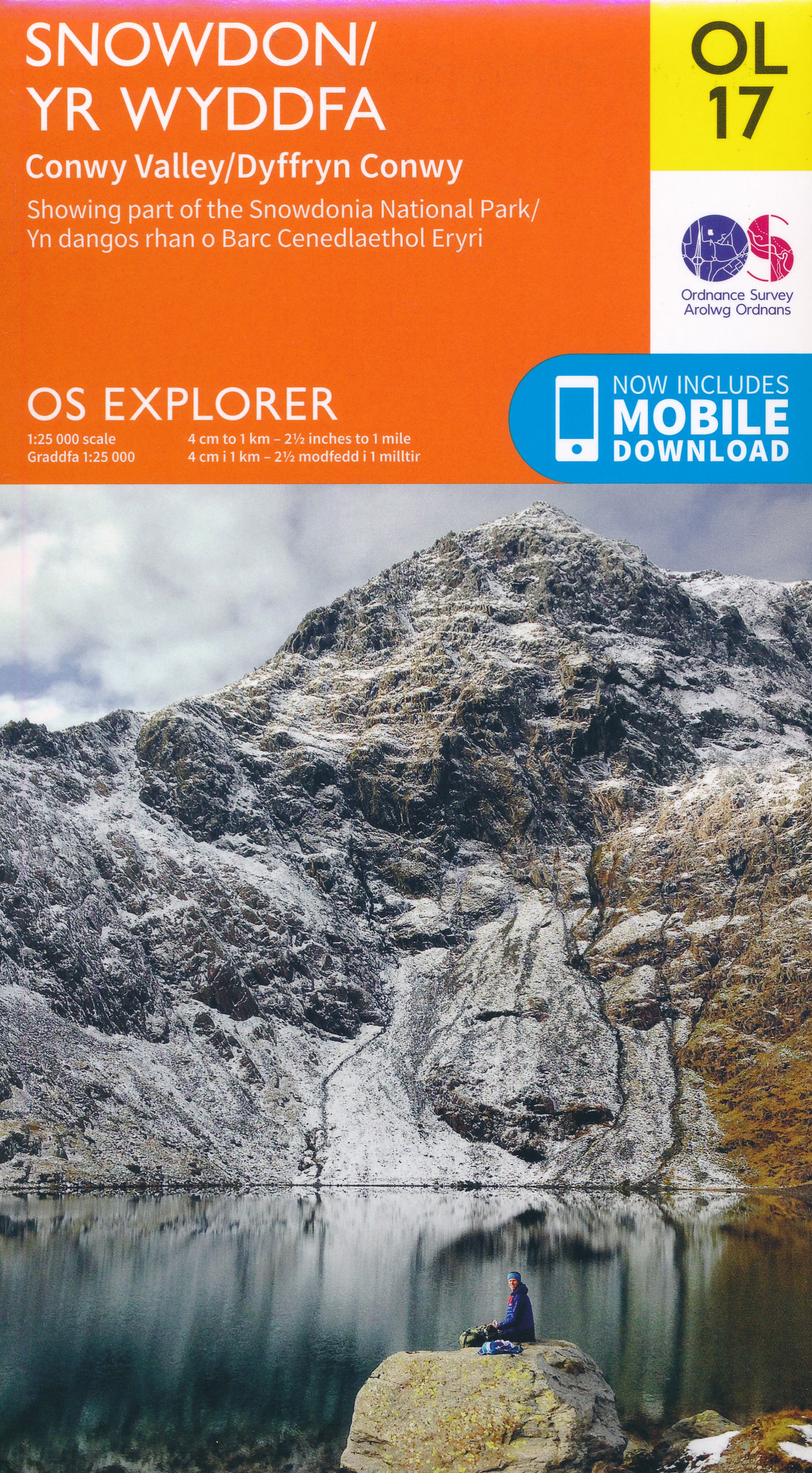
- Snowdon & Caernarfon OS Landranger Active Map 115 (waterproof)
- Waterproof and tear-resistant OS Active version of map No. 115 from the Ordnance Survey’s Landranger series at 1:50,000, with contoured and GPS compatible topographic mapping plus tourist information.MOBILE DOWNLOADS: As well as the physical edition of the map, each Landranger title now includes a code for downloading after purchase its digital... Read more

- Also available from:
- De Zwerver, Netherlands

Stanfords
United Kingdom
United Kingdom
- Snowdonia/Eryri: Circular Walks in the Snowdonia National Park
- These attractive and cleverly structured guides will give walkers ten of the best themed short circular walks in Britain`s 14 National Parks.With clear information, an overview and introduction for each walk, expertly written numbered directions, large scale Ordnance Survey maps, superb eye-grabbing panoramic photographs, and interpretation of... Read more
- Also available from:
- The Book Depository, United Kingdom

The Book Depository
United Kingdom
United Kingdom
- Snowdonia/Eryri
- Circular Walks in the Snowdonia National Park Read more

The Book Depository
United Kingdom
2022
United Kingdom
2022
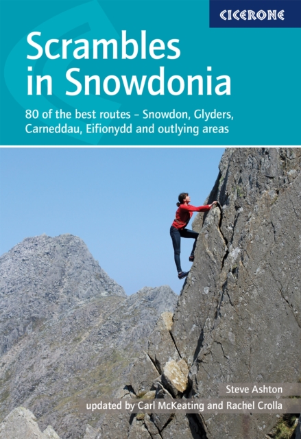
- Scrambles in Snowdonia
- 80 of the best routes - Snowdon, Glyders, Carneddau, Eifionydd and outlying areas Read more
- Also available from:
- De Zwerver, Netherlands
De Zwerver
Netherlands
2022
Netherlands
2022
- Wandelgids Scrambles in Snowdonia | Cicerone
- 80 of the best routes - Snowdon, Glyders, Carneddau, Eifionydd and outlying areas Read more

Stanfords
United Kingdom
2015
United Kingdom
2015
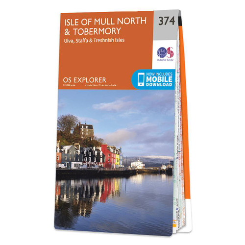
- Isle of Mull North & Tobermory - Ulva, Staffa & Treshnish Isles OS Explorer Map 374 (paper)
- The northern part of Mull with Tobermory, plus Ulva, Staffa and the Treshnish Isles on a detailed topographic and GPS compatible map No. 374, paper version, from the Ordnance Survey’s 1:25,000 Explorer series. MOBILE DOWNLOADS: this title and all the other OS Explorer maps include a code for downloading after purchase the digital version onto... Read more
- Also available from:
- The Book Depository, United Kingdom
- De Zwerver, Netherlands

De Zwerver
Netherlands
2015
Netherlands
2015

Stanfords
United Kingdom
2015
United Kingdom
2015
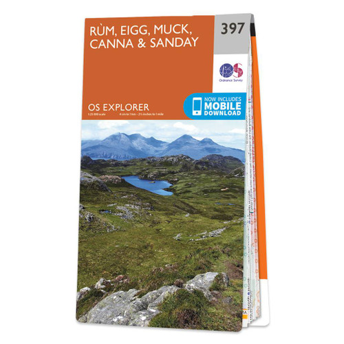
- Rum, Eigg, Muck, Canna & Sanday OS Explorer Map 397 (paper)
- The islands of Rum, Eigg, Muck, Canna and Sanday on a detailed topographic and GPS compatible map No. 397, paper version, from the Ordnance Survey’s 1:25,000 Explorer series.MOBILE DOWNLOADS: this title and all the other OS Explorer maps include a code for downloading after purchase the digital version onto your smartphone or tablet for viewing... Read more
- Also available from:
- The Book Depository, United Kingdom
- De Zwerver, Netherlands

De Zwerver
Netherlands
2015
Netherlands
2015

Stanfords
United Kingdom
United Kingdom
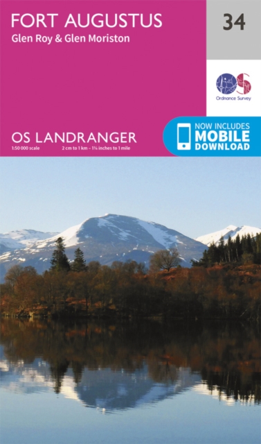
- Fort Augustus, Glen Albyn & Glen Roy OS Landranger Map 34 (paper)
- Paper version of map No. 34 from the Ordnance Survey’s Landranger series at 1:50,000, with contoured and GPS compatible topographic mapping plus tourist information.MOBILE DOWNLOADS: As well as the physical edition of the map, each Landranger title now includes a code for downloading after purchase its digital version onto your smartphone or... Read more
- Also available from:
- The Book Depository, United Kingdom
- De Zwerver, Netherlands

De Zwerver
Netherlands
Netherlands


Stanfords
United Kingdom
2019
United Kingdom
2019
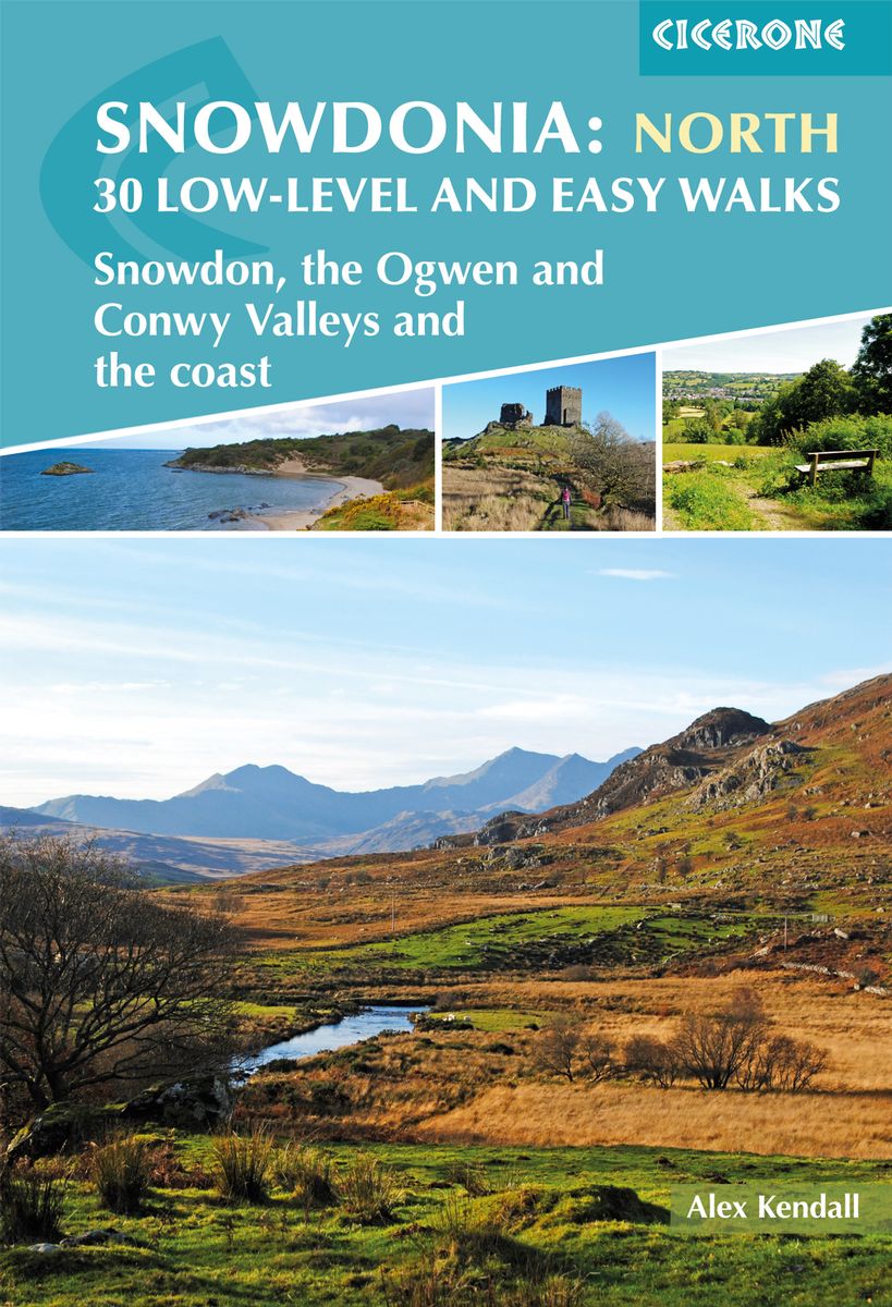
- Snowdonia: Low-level and easy walks - North: Snowdon, the Ogwen and Conwy Valleys and the coast
- This guidebook describes 30 low level and easy walks that are suitable for all abilities. The hikes covered are in the northern part of Snowdonia National Park, close to Conwy, Betws-y-Coed, Llanberis and Porthmadog. Most of the walks take around two hours, with others ranging from two to six hours.Each walk has an accompanying Ordnance Survey... Read more
- Also available from:
- The Book Depository, United Kingdom
- De Zwerver, Netherlands

The Book Depository
United Kingdom
2019
United Kingdom
2019
- Snowdonia: 30 Low-level and Easy Walks - North
- Snowdon, the Ogwen and Conwy Valleys and the coast Read more
De Zwerver
Netherlands
2019
Netherlands
2019
- Wandelgids Snowdonia: North - Low-level and easy walks | Cicerone
- Guidebook describing 30 walks in Snowdonia, Wales. Routes are mostly low level and on clear paths and showcase the region's beautiful scenery and rich history and culture. Part of a 2-volume set, this northern volume includes the Snowdon area, the Ogwen and Conwy Valleys, Betws-y-Coed, Beddgelert, Ffestiniog and the coast. Read more

Stanfords
United Kingdom
2020
United Kingdom
2020
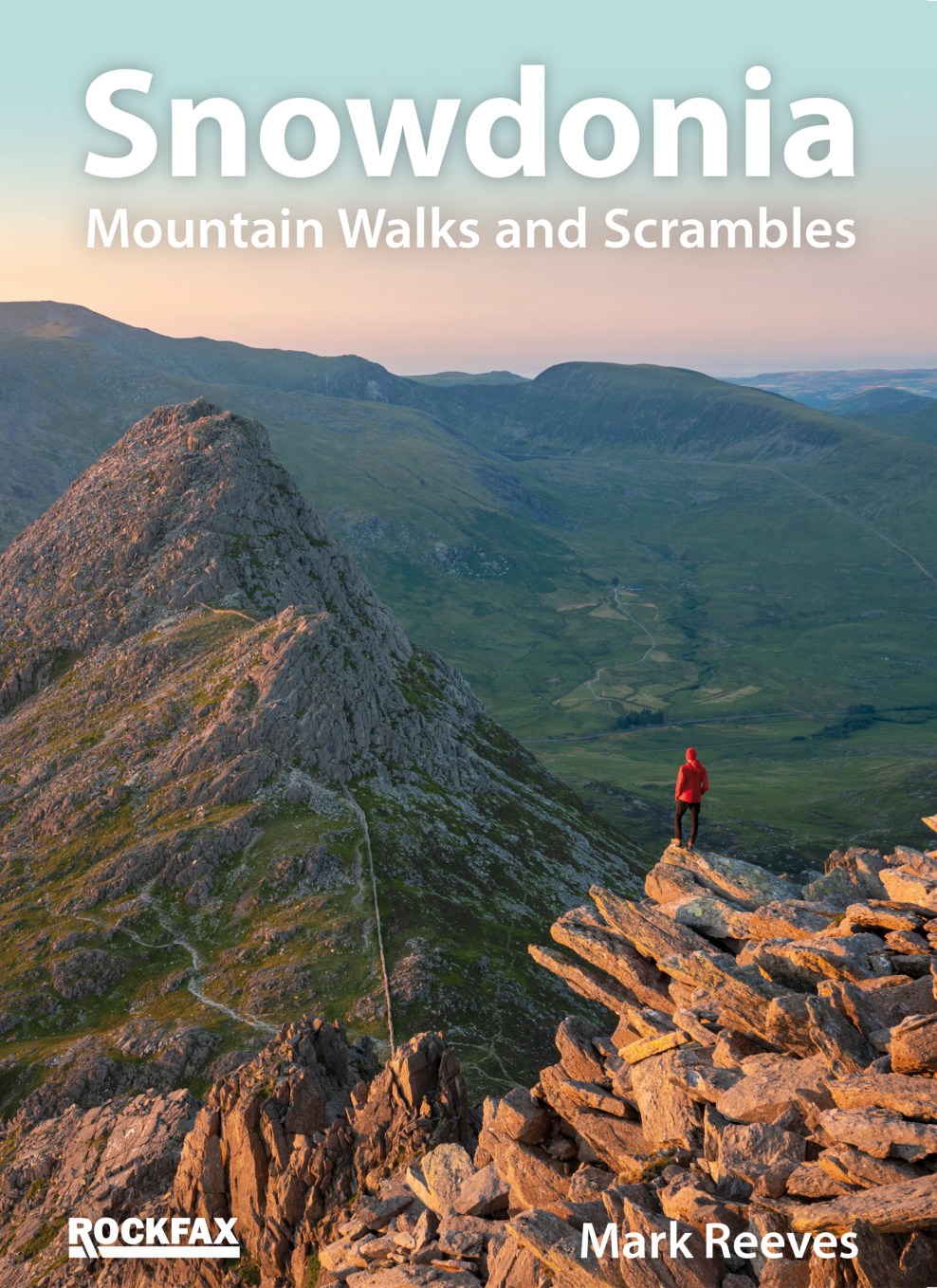
- Snowdonia: Mountain Walks and Scrambles
- This new book by Mark Reeves covers all the best mountain walks and scrambles in and around the Snowdonia area. The coverage is done in full Rockfax style with bigh overview photos, precise route descriptions and detailsed maps. It also has an extensive introduction covering some of the basic skills required for scrambling, route planning and... Read more
- Also available from:
- The Book Depository, United Kingdom
- De Zwerver, Netherlands

De Zwerver
Netherlands
2020
Netherlands
2020
- Wandelgids Snowdonia | Rockfax
- This new book by Mark Reeves covers all the best mountain walks and scrambles in and around the Snowdonia area. The coverage is done in full Rockfax style with bigh overview photos, precise route descriptions and detailsed maps. It also has an extensive introduction covering some of the basic skills required for scrambling, route planning and... Read more

The Book Depository
United Kingdom
2022
United Kingdom
2022
- West Highland Way (Trailblazer British Walking Guides)
- 53 large-scale maps & guides to 26 towns and villages; Planning, Places to Stay, Places to Eat; Ben Nevis Guide. Glasgow City Guide Read more
- Also available from:
- De Zwerver, Netherlands
De Zwerver
Netherlands
2022
Netherlands
2022
- Wandelgids West Highland Way | Trailblazer Guides
- 53 large-scale maps & guides to 26 towns and villages; Planning, Places to Stay, Places to Eat; Ben Nevis Guide. Glasgow City Guide Read more

Stanfords
United Kingdom
2015
United Kingdom
2015
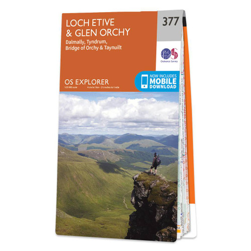
- Loch Etive & Glen Orchy - Dalmally, Tyndrum, Bridge of Orchy & Taynuilt OS Explorer Map 377 (paper)
- Loch Etive, Glen Orchy, Dalmally, Tyndrum, Bridge of Orchy and Taynuilt area on a detailed topographic and GPS compatible map No. 377, paper version, from the Ordnance Survey’s 1:25,000 Explorer series.MOBILE DOWNLOADS: this title and all the other OS Explorer maps include a code for downloading after purchase the digital version onto your... Read more
- Also available from:
- The Book Depository, United Kingdom
- De Zwerver, Netherlands

De Zwerver
Netherlands
2015
Netherlands
2015

Stanfords
United Kingdom
2015
United Kingdom
2015
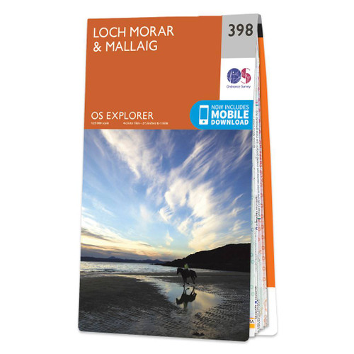
- Loch Morar & Mallaig OS Explorer Map 398 (paper)
- Loch Morar and Mallaig area on a detailed topographic and GPS compatible map No. 398, paper version, from the Ordnance Survey’s 1:25,000 Explorer series.MOBILE DOWNLOADS: this title and all the other OS Explorer maps include a code for downloading after purchase the digital version onto your smartphone or tablet for viewing on the OS smartphone... Read more
- Also available from:
- The Book Depository, United Kingdom
- De Zwerver, Netherlands

De Zwerver
Netherlands
2015
Netherlands
2015
Maps

Stanfords
United Kingdom
United Kingdom
- Penrith and Keswick 1901-1904
- Map No. 90, Penrith and Keswick 1901-1904, in the Cassini Historical Series of old Ordnance Survey mapping of England and Wales at 1:50,000 in a format designed to offer a convenient comparison with the present day coverage from the OS, and most locations in three different editions. Old historical maps have been combined so that the sheet... Read more

Stanfords
United Kingdom
United Kingdom
- National 3 Peaks Challenge Minimaps Set: Ben Nevis, Scafell Pike and Snowdon.
- The three peaks which are part of the National Three Peaks Challenge: Ben Nevis, Scafell Pike and Snowdon shown on handy size, waterproof and tear-resistant extracts from the Ordnance Survey 1:25,000 Explorer series. The three maps are sold together in a presentation wallet which also includes brief descriptions and spaces for recording your... Read more
Stanfords
United Kingdom
United Kingdom
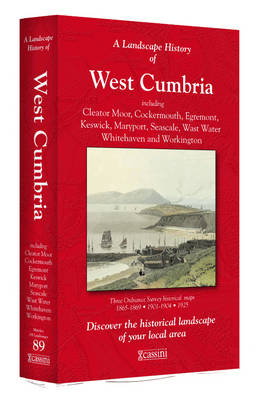
- West Cumbria 1864-1869
- Map No. 89, West Cumbria 1864-1869, in the Cassini Historical Series of old Ordnance Survey mapping of England and Wales at 1:50,000 in a format designed to offer a convenient comparison with the present day coverage from the OS, and most locations in three different editions. Old historical maps have been combined so that the sheet lines... Read more
Stanfords
United Kingdom
United Kingdom
- Snowdon / Yr Wyddfa 1903-1910
- Map No. 115, Snowdon / Yr Wyddfa 1903-1910, in the Cassini Historical Series of old Ordnance Survey mapping of England and Wales at 1:50,000 in a format designed to offer a convenient comparison with the present day coverage from the OS, and most locations in three different editions. Old historical maps have been combined so that the sheet... Read more
Stanfords
United Kingdom
United Kingdom
- Penrith and Keswick 1864-1869
- Map No. 90, Penrith and Keswick 1864-1869, in the Cassini Historical Series of old Ordnance Survey mapping of England and Wales at 1:50,000 in a format designed to offer a convenient comparison with the present day coverage from the OS, and most locations in three different editions. Old historical maps have been combined so that the sheet... Read more
Stanfords
United Kingdom
United Kingdom
- West Cumbria 1864-1925 (3-map set)
- Map No. 89, West Cumbria 1864-1925 (3-map set), in the Cassini Historical Series of old Ordnance Survey mapping of England and Wales at 1:50,000 in a format designed to offer a convenient comparison with the present day coverage from the OS, and most locations in three different editions. Old historical maps have been combined so that the sheet... Read more
Stanfords
United Kingdom
United Kingdom
- Snowdon / Yr Wyddfa 1840-1841
- Map No. 115, Snowdon / Yr Wyddfa 1840-1841, in the Cassini Historical Series of old Ordnance Survey mapping of England and Wales at 1:50,000 in a format designed to offer a convenient comparison with the present day coverage from the OS, and most locations in three different editions. Old historical maps have been combined so that the sheet... Read more
Stanfords
United Kingdom
United Kingdom
- Penrith and Keswick 1864-1925 (3-map set)
- Map No. 90, Penrith and Keswick 1864-1925 (3-map set), in the Cassini Historical Series of old Ordnance Survey mapping of England and Wales at 1:50,000 in a format designed to offer a convenient comparison with the present day coverage from the OS, and most locations in three different editions. Old historical maps have been combined so that... Read more
Stanfords
United Kingdom
United Kingdom
- West Cumbria 1925
- Map No. 89, West Cumbria 1925, in the Cassini Historical Series of old Ordnance Survey mapping of England and Wales at 1:50,000 in a format designed to offer a convenient comparison with the present day coverage from the OS, and most locations in three different editions. Old historical maps have been combined so that the sheet lines correspond... Read more
Stanfords
United Kingdom
United Kingdom
- Snowdon / Yr Wyddfa 1840-1922 (3-map set)
- Map No. 115, Snowdon / Yr Wyddfa 1840-1922 (3-map set), in the Cassini Historical Series of old Ordnance Survey mapping of England and Wales at 1:50,000 in a format designed to offer a convenient comparison with the present day coverage from the OS, and most locations in three different editions. Old historical maps have been combined so that... Read more
Stanfords
United Kingdom
United Kingdom
- Penrith and Keswick 1925
- Map No. 90, Penrith and Keswick 1925, in the Cassini Historical Series of old Ordnance Survey mapping of England and Wales at 1:50,000 in a format designed to offer a convenient comparison with the present day coverage from the OS, and most locations in three different editions. Old historical maps have been combined so that the sheet lines... Read more

Stanfords
United Kingdom
United Kingdom
- The Three Peaks Challenge - Snowdon OS Explorer Map
- The mountains of the Three Peaks Challenge - Ben Nevis, Scafell Pike and Snowdon – on extracts from the Ordnance Survey 1:25,000 Explorer series, with enlargements of the summits, extracts from regional mapping to show road access, and an overview road map linking the three peaks.The area around each peak is presented on a 36x36cm panel with an... Read more
Stanfords
United Kingdom
United Kingdom
- Snowdon / Yr Wyddfa 1922
- Map No. 115, Snowdon / Yr Wyddfa 1922, in the Cassini Historical Series of old Ordnance Survey mapping of England and Wales at 1:50,000 in a format designed to offer a convenient comparison with the present day coverage from the OS, and most locations in three different editions. Old historical maps have been combined so that the sheet lines... Read more
Stanfords
United Kingdom
United Kingdom
- West Cumbria 1901-1904
- Map No. 89, West Cumbria 1901-1904, in the Cassini Historical Series of old Ordnance Survey mapping of England and Wales at 1:50,000 in a format designed to offer a convenient comparison with the present day coverage from the OS, and most locations in three different editions. Old historical maps have been combined so that the sheet lines... Read more

Stanfords
United Kingdom
United Kingdom
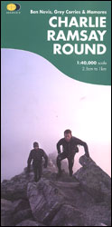
- Charlie Ramsay Round: Ben Nevis, Grey Corries and Mamores
- Charlie Ramsay Round, a route from the Ben Nevis Youth Hostel across the peak itself and 23 more summits including the Grey Corries and Mamores ranges, presented at 1:40,000 on a contoured, GPS compatible map from Harvey Map Services, printed on light, waterproof and tear-resistant paper. Contours are at 15m intervals enhanced by graphic relief... Read more
- Also available from:
- The Book Depository, United Kingdom
The Book Depository
United Kingdom
United Kingdom
- Charlie Ramsay Round
- Charlie Ramsay Round, a route from the Ben Nevis Youth Hostel across the peak itself and 23 more summits including the Grey Corries and Mamores ranges, presented at 1:40,000 on a contoured, GPS compatible map from Harvey Map Services, printed on light, waterproof and tear-resistant paper. Contours are at 15m intervals enhanced by graphic relief... Read more