Stanfords
United Kingdom
- Sant Francesc de Formentera 25K CNIG Topographic Survey Map No. 824-IV/849-II
- Topographic coverage of the Balearic Islands at 1:25,000 published by the Instituto Geográfico Nacional – Centro Nacional de Información Geografica, the country’s civilian survey organization. The maps have contours at 10m intervals and colouring and/or graphics to show different types of vegetation or land use. Boundaries of national parks and... Read more
Stanfords
United Kingdom
- Pilar de la Mola 25K Formentera CNIG Topographic Survey Map No. 825-III/850-I
- Topographic coverage of the Balearic Islands at 1:25,000 published by the Instituto Geográfico Nacional – Centro Nacional de Información Geografica, the country’s civilian survey organization. The maps have contours at 10m intervals and colouring and/or graphics to show different types of vegetation or land use. Boundaries of national parks and... Read more
Stanfords
United Kingdom
- S`Espalmador 25K Formentera CNIG Topographic Survey Map No. 824-II/825-I
- Topographic coverage of the Balearic Islands at 1:25,000 published by the Instituto Geográfico Nacional – Centro Nacional de Información Geografica, the country’s civilian survey organization. The maps have contours at 10m intervals and colouring and/or graphics to show different types of vegetation or land use. Boundaries of national parks and... Read more

Stanfords
United Kingdom
- 3200 Islas Baleares Chart Atlas - 2018 edition
- Chart atlas covering the Islas Baleares - Ibiza, Formentera, Mallorca, Cabrera and Menorca. 25 sheets provide all of the necessary information for passage planning and detailed approaches to the harbours and anchorages of this appealing cruising ground. In loose-leaf A2 format in a tough plastic wallet.A voucher code to download the relevant... Read more

Stanfords
United Kingdom
- Formentera CNIG Topo 824/825/849
- Topographic coverage of the Balearic Islands at 1:50,000 in the MTN50 (Mapa Topográfico Nacional) series from the Instituto Geográfico Nacional – Centro Nacional de Información Geografica, the country’s civilian survey organization. The maps have contours at 20m intervals, enhanced by relief shading, plus colouring and/or graphics to show... Read more

Stanfords
United Kingdom
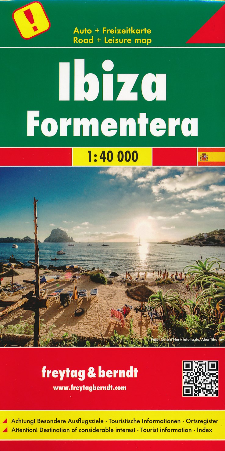
- Ibiza - Formentera F&B
- Ibiza and Formentera at 1:40,000 on a road map from Freytag & Berndt prominently highlighting the two islands’ best sights which have multilingual descriptions in the index booklet attached to the map cover. Road network is shown on a base with topography indicated by relief shading with spot heights, plus colouring for woodlands. Driving... Read more

Stanfords
United Kingdom
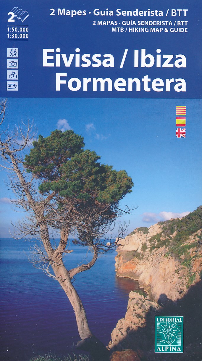
- Ibiza - Formentera Editorial Alpina
- Ibiza at 1:50,000 and Formentera at 1:30,000 on a contoured and GPS compatible map from Editorial Alpina highlighting hiking, cycling and mountain bike routes, with English language descriptions of several recommended trails on both islands.The map is double-sided, presenting on one side Ibiza at 1:50,000 with contour lines at 20m intervals,... Read more
De Zwerver
Netherlands
- Wandelkaart - Fietskaart 77 Ibiza en Formentera | Editorial Alpina
- Ibiza at 1:50,000 and Formentera at 1:30,000 on a contoured and GPS compatible map from Editorial Alpina highlighting hiking, cycling and mountain bike routes, with English language descriptions of several recommended trails on both islands.The map is double-sided, presenting on one side Ibiza at 1:50,000 with contour lines at 20m intervals,... Read more
De Zwerver
Netherlands
Bol.com
Netherlands
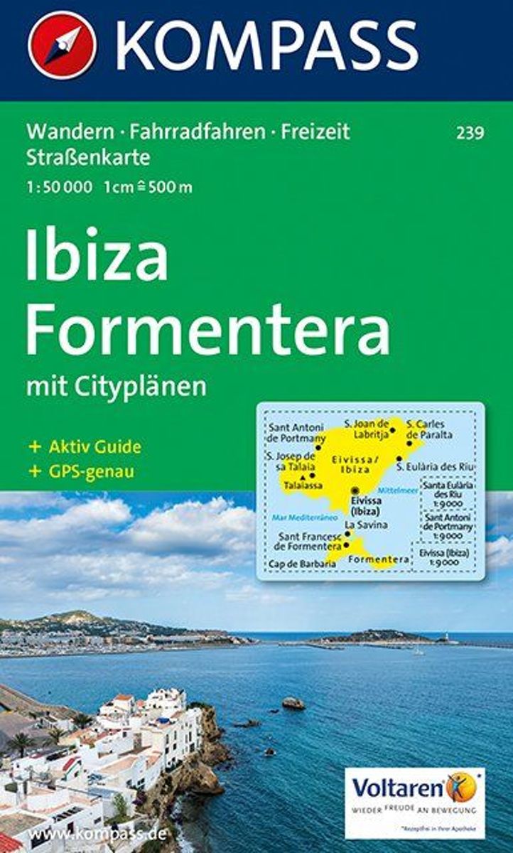
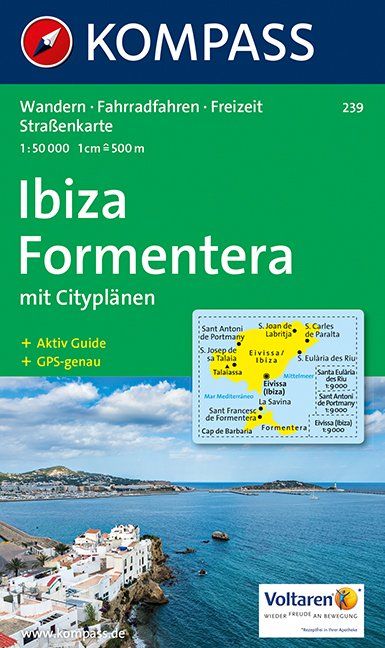
- Ibiza, Formentera WK239
- Toeristische kaart voor wandelen, fietsen en vrije tijd met activiteitengids en stadsplattegronden • goed leesbare schaal van 1:50 000 • te gebruiken met GPS • met praktische informatie over de regio • wandel- en fietspaden • aanbevolen routes • kastelen • uitzichtpunten • stranden en baaien • toeristische informatie • veel topografische... Read more
Bol.com
Belgium
- Ibiza, Formentera WK239
- Toeristische kaart voor wandelen, fietsen en vrije tijd met activiteitengids en stadsplattegronden • goed leesbare schaal van 1:50 000 • te gebruiken met GPS • met praktische informatie over de regio • wandel- en fietspaden • aanbevolen routes • kastelen • uitzichtpunten • stranden en baaien • toeristische informatie • veel topografische... Read more
De Zwerver
Netherlands