
Stanfords
United Kingdom
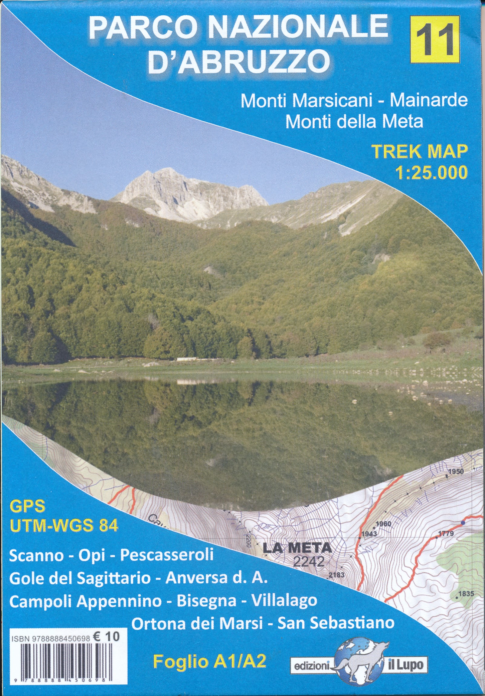
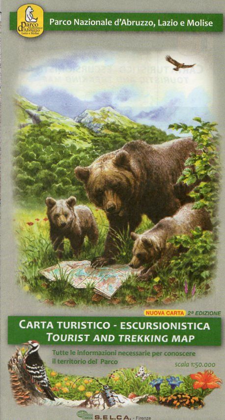
- Parco d`Abruzzo
- Abruzzo, Lazio and Molise National Park on a contoured, GPS compatible map at 1:50,000 published by Selca in cooperation with the park authorities, highlighting waymarked hiking trails, accommodation and other places of interest.The map has contours at 50m intervals, enhanced by shading and graphic relief. The overprint highlights hiking... Read more

Stanfords
United Kingdom
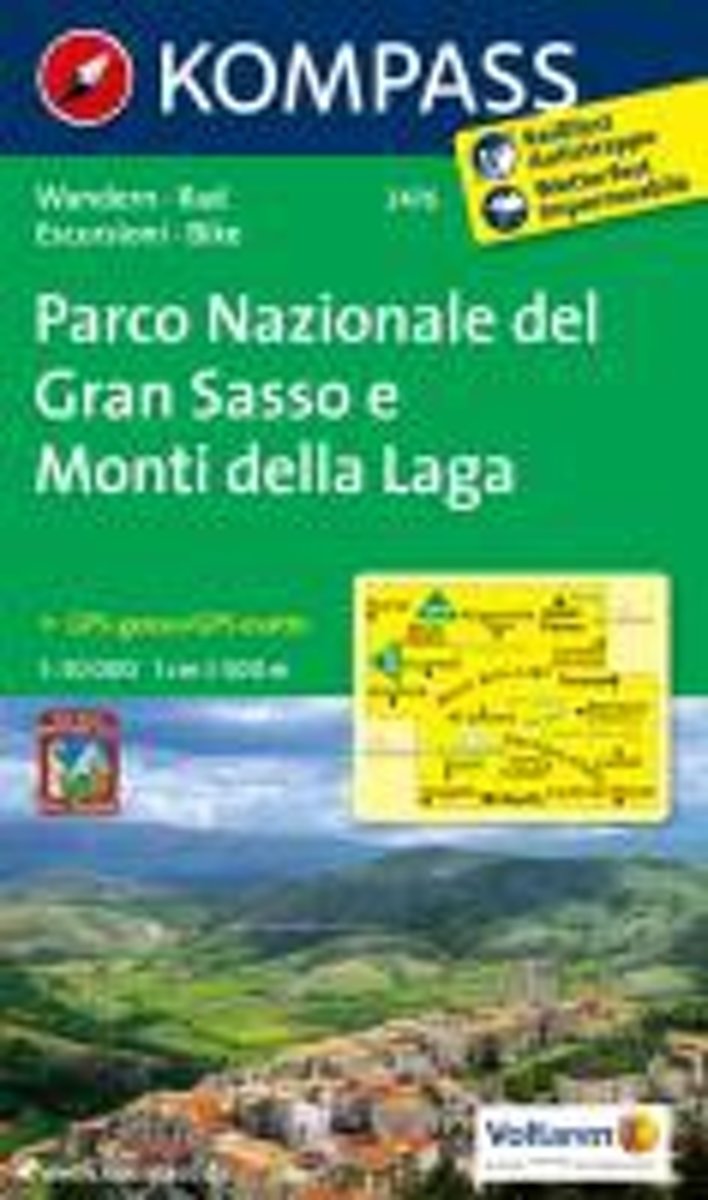
- Gran Sasso and Monti della Laga National Park Kompass 2476
- Gran Sasso and Monti della Laga National Park in Umbria, the Marches, Lazio and Abruzzo on a double-sided, GPS compatible hiking and recreational map at 1:50,000 from Kompass, printed on durable, waterproof and tear-resistant synthetic paper. Contours are at 40m intervals, with a 2-km UTM grid. In addition to the region’s numerous local hiking... Read more

Stanfords
United Kingdom
- Majella 6-Map Set
- Parco Nazionale della Maiella in the Abruzzo region of Italy presented by Societá Editrice Ricerche in a set of six handy size, double-sided, contoured and GPS compatible maps at 1:25,000 with cartography of the Italian topographic survey and highlighting for waymarked trails, climbing sites, refuges, etc.Each map measures either 62 or 89cm x... Read more

Stanfords
United Kingdom
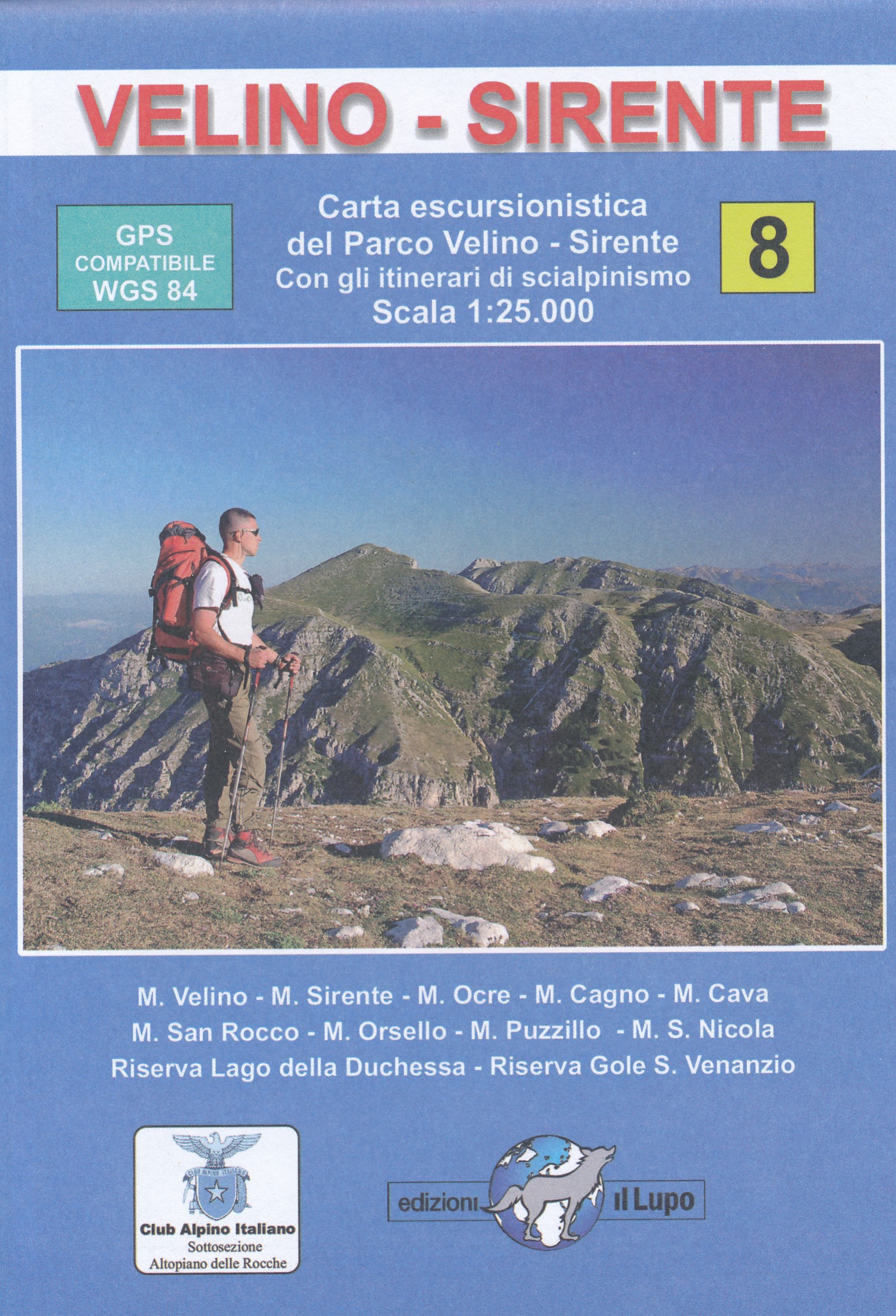
- Monte Velino - Altopiano delle Rocche - Monti della Duchessa
- Abruzzo, Lazio and Molise National Park on a contoured, GPS compatible map at 1:50,000 published by Selca in cooperation with the park authorities, highlighting waymarked hiking trails, accommodation and other places of interest.The map has contours at 50m intervals, enhanced by shading and graphic relief. The overprint highlights hiking... Read more
Stanfords
United Kingdom
- Parco di Veio
- Abruzzo, Lazio and Molise National Park on a contoured, GPS compatible map at 1:50,000 published by Selca in cooperation with the park authorities, highlighting waymarked hiking trails, accommodation and other places of interest.The map has contours at 50m intervals, enhanced by shading and graphic relief. The overprint highlights hiking... Read more
De Zwerver
Netherlands
De Zwerver
Netherlands
Bol.com
Netherlands
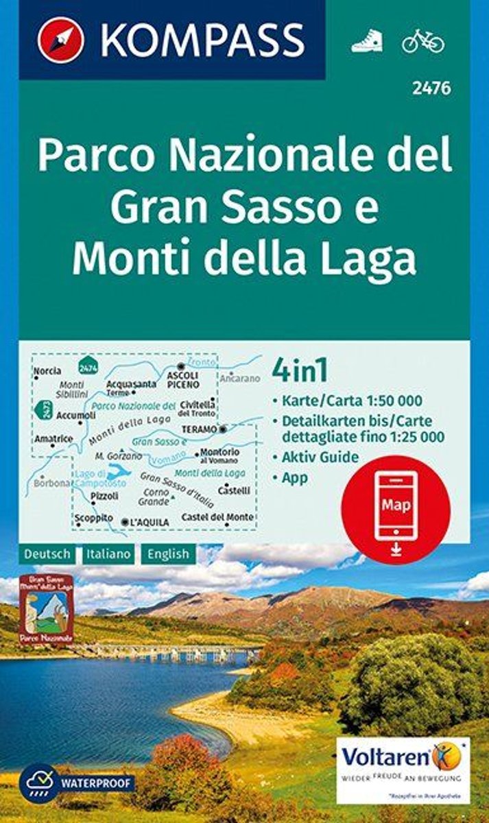
- Nationaal Park Gran Sasso WK2476
- Die KOMPASS Wanderkarten überzeugen durch. eine GPS-genaue und aktuelle Karte zur einfachen Orientierung . lesefreundliche Optik im idealen Maßstab von 1:25.000/1:35.000 oder 1:50.000. Herstellung auf robustem reiß- und wetterfesten PapierDeze kaart is ideaal voor het uitstippelen van wandel- en fietsroutes en om onderweg te gebruiken • goed... Read more
Bol.com
Belgium
- Nationaal Park Gran Sasso WK2476
- Die KOMPASS Wanderkarten überzeugen durch. eine GPS-genaue und aktuelle Karte zur einfachen Orientierung . lesefreundliche Optik im idealen Maßstab von 1:25.000/1:35.000 oder 1:50.000. Herstellung auf robustem reiß- und wetterfesten PapierDeze kaart is ideaal voor het uitstippelen van wandel- en fietsroutes en om onderweg te gebruiken • goed... Read more
Bol.com
Netherlands
- Parco Nazionale del Gran Sasso e Monti della Laga 1:50 000
- Deze kaart is ideaal voor het uitstippelen van wandel- en fietsroutes en om onderweg te gebruiken; goed leesbare kaart met heel veel topografische details; duidelijke symbolen maken de kaart extra overzichtelijk; wandel- en fietsroutes zijn aangegeven; praktische informatie over de regio; bruikbaar met GPS; nuttige informatie voor fietsers en... Read more
Bol.com
Belgium
- Parco Nazionale del Gran Sasso e Monti della Laga 1:50 000
- Deze kaart is ideaal voor het uitstippelen van wandel- en fietsroutes en om onderweg te gebruiken; goed leesbare kaart met heel veel topografische details; duidelijke symbolen maken de kaart extra overzichtelijk; wandel- en fietsroutes zijn aangegeven; praktische informatie over de regio; bruikbaar met GPS; nuttige informatie voor fietsers en... Read more
De Zwerver
Netherlands

De Zwerver
Netherlands
De Zwerver
Netherlands
De Zwerver
Netherlands

De Zwerver
Netherlands
De Zwerver
Netherlands