Stanfords
United Kingdom
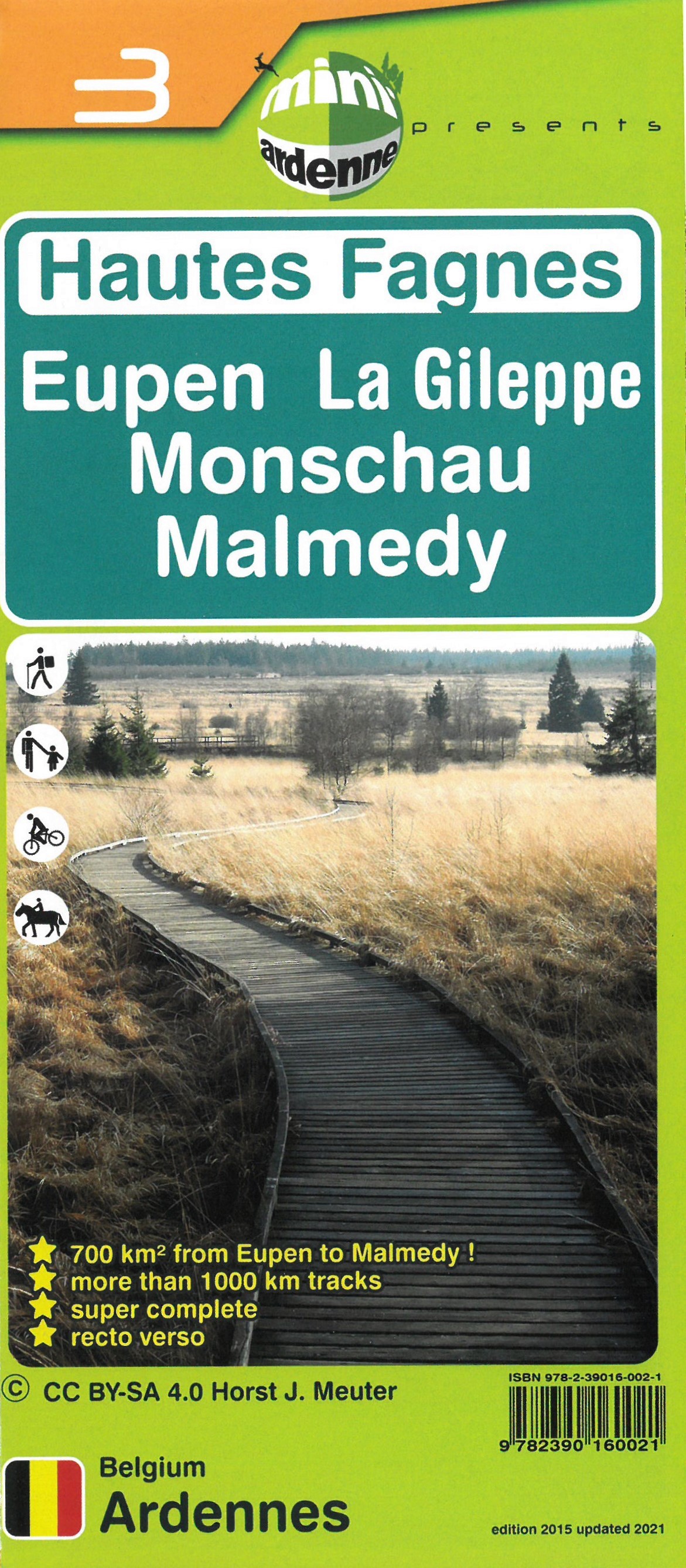
- Haute Fagnes - Eupen - La Gileppe - Monschau - Malmedy Mini-Ardenne 3
- Ardennes Recreational Maps at a scale of 1:25,000 enable you to discover the Ardennes from junction to junction, each associated with a locality, through a network of hiking, cycling or riding paths.The network of mini walks consists of suggested routes with kilometre distance marked showing field boundaries and urbanised built up areas. ... Read more
De Zwerver
Netherlands
- Wandelkaart 03 Hautes Fagnes - Hoge Venen | Mini-Ardenne
- De wandelkaarten van Mini-Ardenne zijn volledig nieuw en op schaal 1/25000. De kaarten doen u belanden in een netwerk van honderden kilometers paden voor wandelaars, fietsers en ruiters. Door het gebruik van knooppunten (elk knooppunt is gelinkt aan een plaats), kunnen zowel de beginnende als de geoefende wandelaars de Ardennen en zijn... Read more

Stanfords
United Kingdom
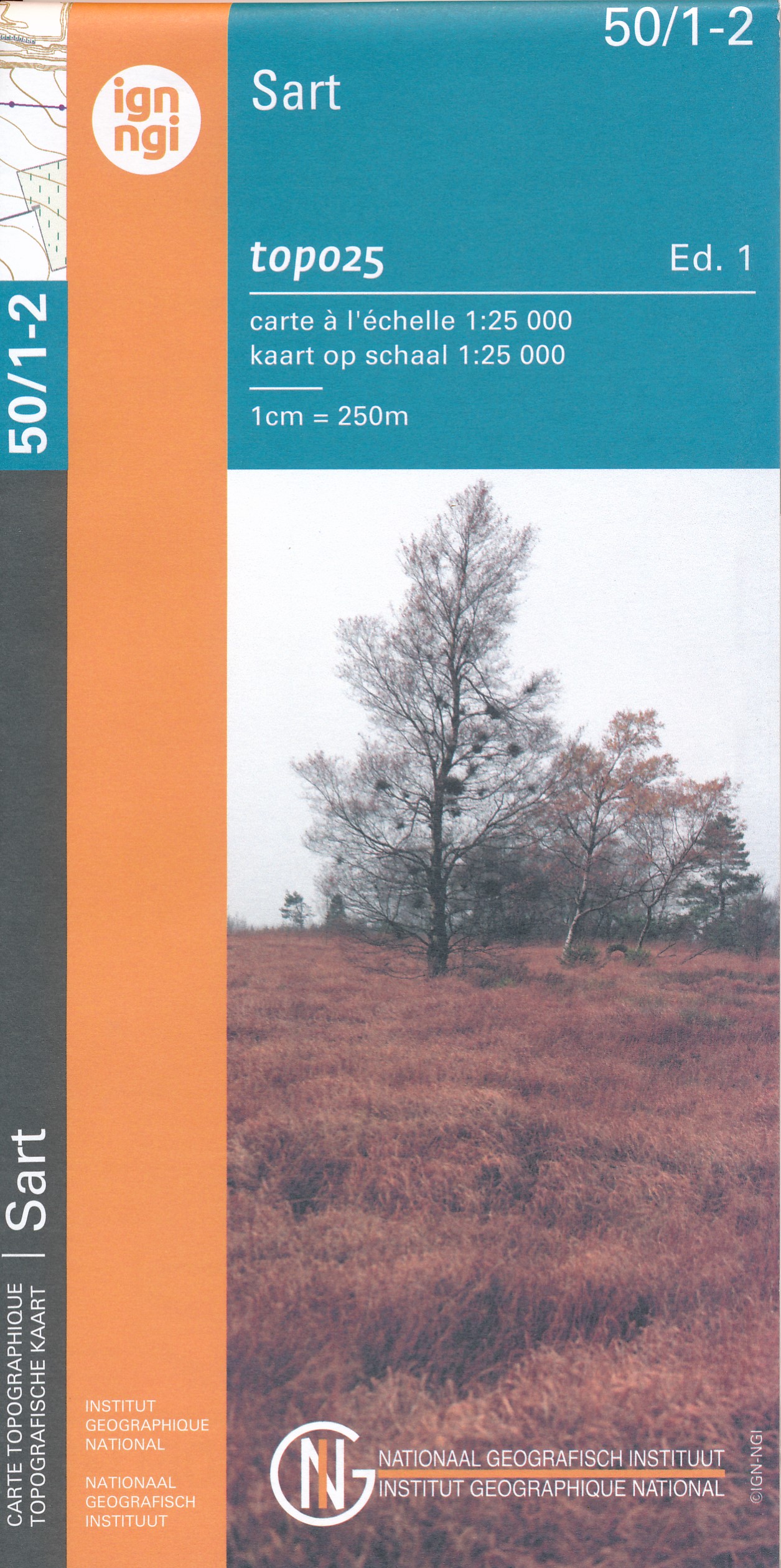
- Sart NGI Topo 50/1-2
- Topographical survey of Belgium at 1:20,000 from Nationaal Geografisch Instituut / Institut Géographique National, the country’s national survey organization. Each 20K map covers one quarter of the corresponding 1:50,000 map (with adjustments in the border and coastal areas). The maps provide all the information expected of topographic mapping... Read more

Stanfords
United Kingdom
- Rila Mountains Domino
- Rila Mountains at 1:50,000 on a large, double-sided, contoured map with GPS waypoints for shelters and chalets, peaks, etc. and highlighting hiking routes. Topography is shown by contours at 50m intervals with additional relief shading and graphics and colouring for scree, single rocks over 5m high, marshlands and pine scrub and forests. An... Read more

De Zwerver
Netherlands
- Wandelkaart 5 Rila gebergte | Domino
- Rila Mountains at 1:50,000 on a large, double-sided, contoured map with GPS waypoints for shelters and chalets, peaks, etc. and highlighting hiking routes. Topography is shown by contours at 50m intervals with additional relief shading and graphics and colouring for scree, single rocks over 5m high, marshlands and pine scrub and forests. An... Read more

Stanfords
United Kingdom
- Liege and East Belgium Alta Via Cycling Map 07
- Alta Via`s topographical cycling maps emphasize car-free cycling routes or the so-called Voies Vertes (Green Routes), a cycling network that runs through Belgium and Luxembourg. All LF and Ravel cycle routes are included, supplemented with old railways and towpaths that have been transformed into bike paths. The map also lists all youth... Read more

Stanfords
United Kingdom
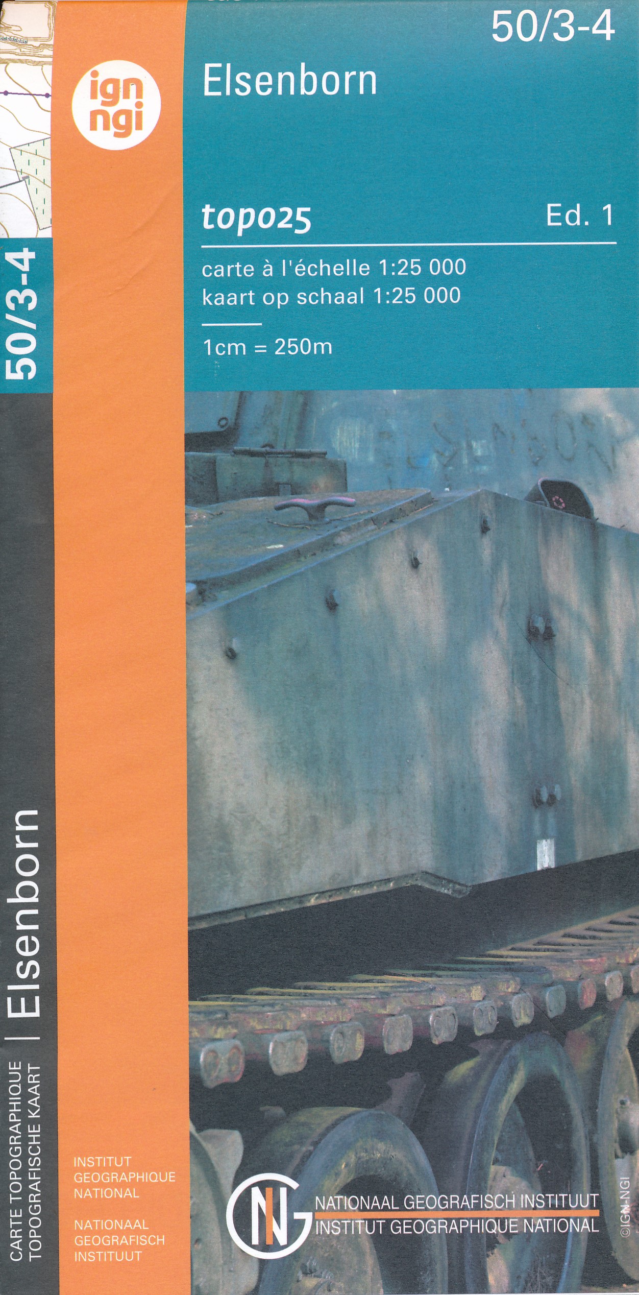
- Elsenborn NGI Topo 50/3-4
- Topographical survey of Belgium at 1:20,000 from Nationaal Geografisch Instituut / Institut Géographique National, the country’s national survey organization. Each 20K map covers one quarter of the corresponding 1:50,000 map (with adjustments in the border and coastal areas). The maps provide all the information expected of topographic mapping... Read more

Stanfords
United Kingdom
- Pirin Mountains Domino
- Pirin Mountains at 1:50,000 on a large, double-sided, contoured map with GPS waypoints for shelters and chalets, peaks, etc. and highlighting hiking routes. Topography is shown by contours at 40m intervals with additional relief shading and graphics and colouring for sandstone stacks, single rocks over 5m high, marshlands and different types of... Read more

De Zwerver
Netherlands
- Wandelkaart 6 Pirin gebergte | Domino
- Pirin Mountains at 1:50,000 on a large, double-sided, contoured map with GPS waypoints for shelters and chalets, peaks, etc. and highlighting hiking routes. Topography is shown by contours at 40m intervals with additional relief shading and graphics and colouring for sandstone stacks, single rocks over 5m high, marshlands and different types of... Read more

Stanfords
United Kingdom
- Luxembourg North
- One of two topographic survey maps of Luxembourg at 1:50,000, with contours at 10-metres intervals and additional relief shading. An overprint highlights long-distance footpaths, including the GR5 (E-2), cycle routes, and various places of interest, including campsites. The map covers an area of approximately 53 x 43 km / 33 x 27 miles. Map... Read more

Stanfords
United Kingdom
- Fen Rail (Vennbahn) Cycle Route
- The High Fens (Vennbahn) Cycle Route, a 230-km long cycle trail from Aachen across the Hoge Venen / Hautes Fagnes Natural Park in eastern Belgium and Luxembourg to Luxembourg City, presented by the Verlag Esterbauer in guide with maps at 1:50,000 showing the route and its variants. Extensive information is conveyed by symbols, indicating road... Read more

Stanfords
United Kingdom
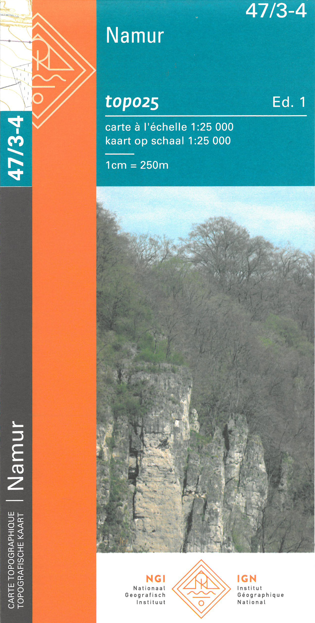
- Namur NGI Topo 47/3-4
- Topographical survey of Belgium at 1:20,000 from Nationaal Geografisch Instituut / Institut Géographique National, the country’s national survey organization. Each 20K map covers one quarter of the corresponding 1:50,000 map (with adjustments in the border and coastal areas). The maps provide all the information expected of topographic mapping... Read more

Stanfords
United Kingdom
- Eifel 4-Map Set Kompass 833
- The Eifel region of Germany at 1:50,000 on a set of four double-sided, contoured and GPS compatible maps from Kompass with local and long-distance footpaths, cycling routes, accommodation, etc. Coverage extends from Aachen to the Rhine between Bonn and Koblenz, south to the Moselle, and includes most of the Hohes Venn / Hautes Fagnes Natural... Read more

Stanfords
United Kingdom
- Western Rhodope Mountains Domino Map
- Western Rhodope Mountains at 1:100,000 on a contoured GPS compatible map from Domino extending from just west of the Pirin National Park to Asenovgrad in the north-east. The map is double-sided with a good overlap between the sides. Topography is shown by contours at 50m intervals with relief shading and spot heights, plus colouring for... Read more

Stanfords
United Kingdom
- Luxembourg South
- One of two topographic survey maps of Luxembourg at 1:50,000, with contours at 10-metres intervals and additional relief shading. An overprint highlights long-distance footpaths, including the GR5 (E-2), cycle routes, and various places of interest, including campsites. The map covers an area of approximately 53 x 43 km / 33 x 27 miles. Map... Read more

Stanfords
United Kingdom
- E3 Arquipelago de Madeira
- Plans included:Porto Santo (1:25 000)Porto de Recreio da Calheta (1:6250)Funchal (1:10 000)Água de Pena (1:5000)Porto de Machico (1:7500)Quinta do Lorde (1:5000)Ponta de São Lourenço (1:30 000)Enseada da Doca (Isla Deserta Grande) (1:25 000)Selvagem Grande (1:30 000)Selvagem Pequena (1:30 000)On this edition the chart specification has been... Read more
Stanfords
United Kingdom
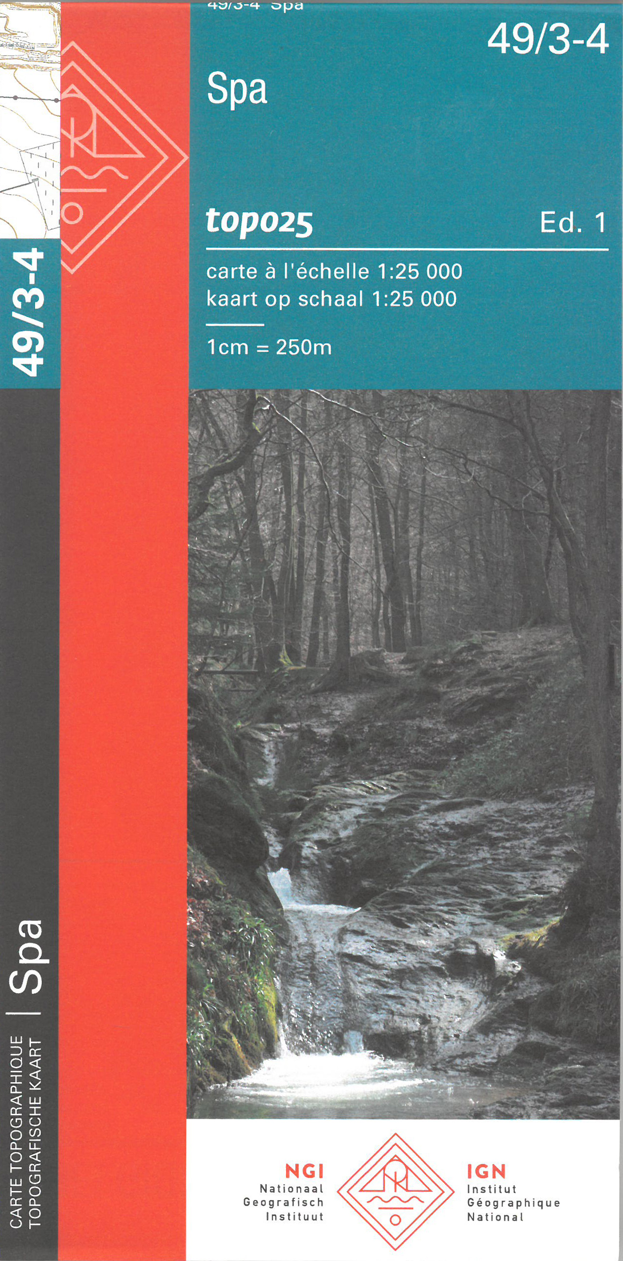
- Spa NGI Topo 49/3-4
- Topographical survey of Belgium at 1:20,000 from Nationaal Geografisch Instituut / Institut Géographique National, the country’s national survey organization. Each 20K map covers one quarter of the corresponding 1:50,000 map (with adjustments in the border and coastal areas). The maps provide all the information expected of topographic mapping... Read more

Stanfords
United Kingdom
- Stara Planina Central: Zlatitsa to Kalofer Domino Map
- Stara Planina Central: Zlatitsa to Kalofer map at 1:50,000 from Bulgarian publishers Domino, contoured and GPS compatible, with hiking trails, accommodation options including a list of local mountain refuges, etc. The map is double-sided and covers the mountains from just west of Ribaritsa and Zlatitsa eastwards beyond Kalofer to the peak of... Read more

De Zwerver
Netherlands
- Wandelkaart 1 Stara Planina gebergte | Domino
- Stara Planina Central: Zlatitsa to Kalofer map at 1:50,000 from Bulgarian publishers Domino, contoured and GPS compatible, with hiking trails, accommodation options including a list of local mountain refuges, etc. The map is double-sided and covers the mountains from just west of Ribaritsa and Zlatitsa eastwards beyond Kalofer to the peak of... Read more