Stanfords
United Kingdom
United Kingdom
- Nidderdale Way
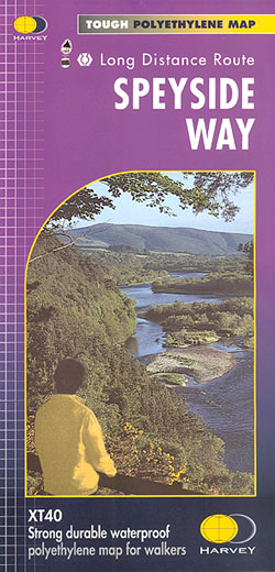
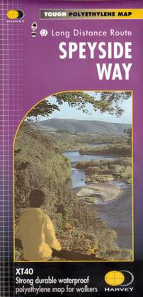
- Nidderdale Way, an 85km / 53 mile circular long-distance trail in north Yorkshire, presented at 1:40,000 on a light, waterproof and tear-resistant map from Harvey Map Services.Maps in the Harvey’s series covering Great Britain’s national trails and other long-distance footpaths are printed on light, waterproof and tear-resistant synthetic paper... Read more