Stanfords
United Kingdom
United Kingdom
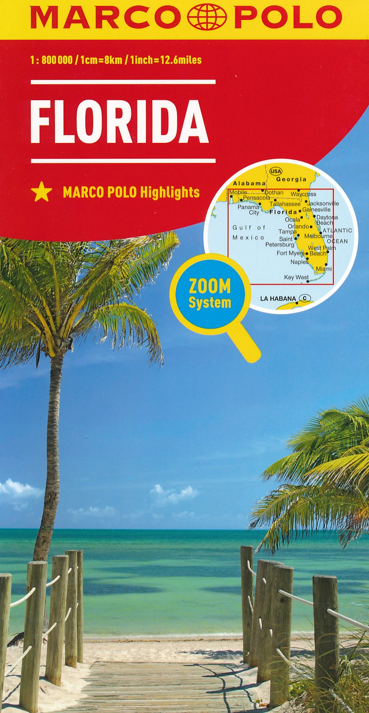
- Florida Keys Adventure & Dive Map-Guide
- Florida Keys on a waterproof and tear-resistant map/guide from Franko Maps, presenting on one side the whole of the Keys, plus on the reverse more detailed enlargements for popular locations, with details of numerous diving sites including ship wrecks, a street plan of Key West, beautiful drawings of local reef creatures, etc.On one side the... Read more