Stanfords
United Kingdom
United Kingdom
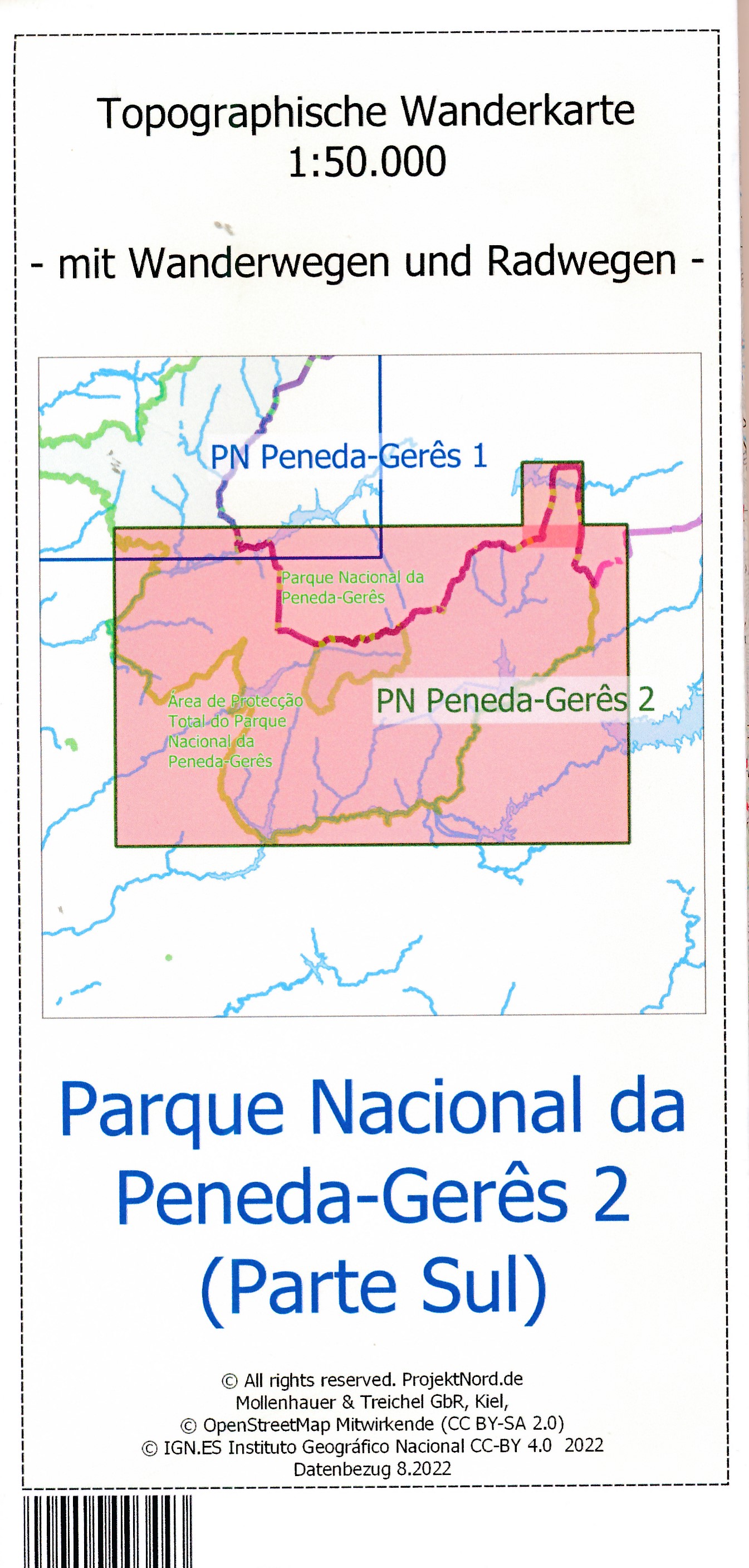
- Cap de Creus Park Natural Editorial Alpina
- Cap de Creus Natural Park on the Costa Brava at 1:25,000 on a contoured and GPS compatible map from Editorial Alpina, plus a booklet which includes English language descriptions several recommended hiking trails, accommodation details, etc.Topography is presented by contours at10m intervals with relief shading and plenty of spot heights, plus... Read more