Khan Tengri
Description
- Height 7010.00 m
Khan Tengri (7010 m) is a high peak in the Tian Shan Range, in the east of Kyrgyzstan on the border with Kazakhstan.
Links
Facts
Reports
Guides and maps
Lodging
Organisations
Tour operators
GPS
Other
Maps

Stanfords
United Kingdom
United Kingdom
- Tian Shan - Khan Tengri - Pobeda Peak - Lenin Peak terraQuest Trekking Map
- Double-sided, waterproof and tear-resistant, contoured and GPS compatible map from TerraQuest, covering the whole of Kyrgyzstan at 1:1,000,000, with additional panels providing more detailed coverage for trekking at scales between 1:100,000 and 1:125,000 and covering the Karakol region, Ala-Archa, Inylchek area with Jengish Chokusu (Pobeda... Read more

Stanfords
United Kingdom
United Kingdom
- Tian Shan: Karakol - Engilchek Glacier - Jengish Chokusu (Pik Pobedy) - Khan Tengri Goskartografiya Trekking Map
- The easternmost part of Kyrgyzstan, between Lake Issyk-Kul and the Engilchek Glacier, on a contoured and GPS compatible, double-sided topographic map at 1:100,000 from Goskartografiya in Bishkek, with most place names in the Latin alphabet and an English map legend. Coverage extends eastwards from Kyzyl-Suu, the easternmost part of Lake... Read more

Stanfords
United Kingdom
United Kingdom
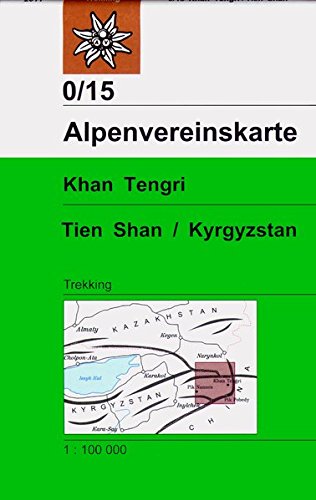
- Khan Tengri - Tien Shan Alpenverein 0/15
- Exceptionally detailed and informative topographic map at 1:100,000 of the Inylchek area in the Tien Shan Mountains in Kyrgyzstan, prepared by the German Alpine Club using data from the Kyrgyz national survey organization plus satellite imagery. Topography is shown by contours at 50m intervals with relief shading, plus numerous spot heights and... Read more
- Also available from:
- De Zwerver, Netherlands

De Zwerver
Netherlands
Netherlands
- Wandelkaart 0/15 Alpenvereinskarte Khan Tengri - Tien Shan / Kyrgyzstan | Alpenverein
- Exceptionally detailed and informative topographic map at 1:100,000 of the Inylchek area in the Tien Shan Mountains in Kyrgyzstan, prepared by the German Alpine Club using data from the Kyrgyz national survey organization plus satellite imagery. Topography is shown by contours at 50m intervals with relief shading, plus numerous spot heights and... Read more

