HRP - Haute Randonnée Pyrénéenne
Description
- Name HRP - Haute Randonnée Pyrénéenne (HRP)
- Length in days 45 days
- Start of trail Hendaye
- End of trail Banyuls
- Traildino grading DW, Difficult walk, bushwalk
- Hut tour grading T3, Demanding mountain walk
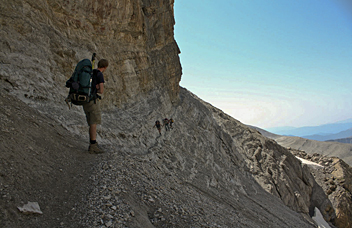 Hendaye - Banyuls, Pyrenees, 45 days
The crossing of the Pyrenees is very rewarding, as every single hiker who made it will make clear.
The HRP, Haute Randonnée Pyrénéenne or Pyrenees High Route was essentially the creation of one man, Georges Véron, the Alfred Wainwright of France. With approval of the Club Alpin Français he knit toghether many mountain trails, réfuges and gîtes, resulting in a continuous trail from the Atlantic to the Mediterranean.
We have three trails then, doing the same thing:
- the GR10, staying most of the time in the middle reaches of the Pyrenees
- the GR11, doing the same as the GR10 but on the Spanish side, a bit more strenuous
- the HRP, staying in the high mountains but avoiding climbing or glacier crossings.
The trail set out by Véron is difficult. Well into july you must be prepared to overcome snow in gullies and on steep slopes, which necessitates the use of crampons and ice axe. Then his scheme of 45 days is almost impossible to cope with, but for the very very fit. Facilities are better than on the high routes in the US, but austere compared to the Alps. Therefore people usually hike parts of the trail. Thru-hiking is the exception. There is no such social thing as in the US around the big hikes like the Continental Divide Trail or Pacific Crest Trail, which is a pity. A few European hikes really cater for this standard, among them the Via Alpina and the Haute Randonnée Pyrénéenne.
Links
Facts
Reports
Guides and maps
Lodging
Organisations
Tour operators
GPS
Other
Books

United Kingdom
2019
- The Pyrenean Haute Route
- There are three main trekking routes across the Pyrenees from coast to coast: of these, the Pyrenean Haute Route (or HRP for Haute Route Pyreneenne) is the most challenging - and arguably, the most spectacular. Unlike the GR10 and GR11, it is not waymarked and borders on mountaineering at times, sticking as closely as possible to the main... Read more
- Also available from:
- The Book Depository, United Kingdom
- De Zwerver, Netherlands

Netherlands
2022
- Wandelgids Pyrenean Haute Route - a high level trail, Pyreneeën HRP | Cicerone
- Guidebook to trekking the Pyrenean Haute Route, which zigzags across the Franco-Spanish border, staying close to the main ridge in the highest and most spectacular central Pyrenees. It covers 750km with over 40km of ascent, so is suitable for experienced mountain walkers only. The largely unwaymarked route is presented in 45 stages. Read more

United Kingdom
- Vignemale - Valle de Bujaruelo Editorial Alpina
- Cross-border area of the Pyrenees at 1:25,000 on a contoured and GPS compatible map covering on the Spanish side the valleys of Bujaruelo and Ara with the western section of the Ordesa National Park and the Ordesa Valley, and within France extending from the Vignemale Massif to Gavarnie, plus a Spanish/French booklet with recommendations for... Read more
- Also available from:
- The Book Depository, United Kingdom
- De Zwerver, Netherlands

United Kingdom
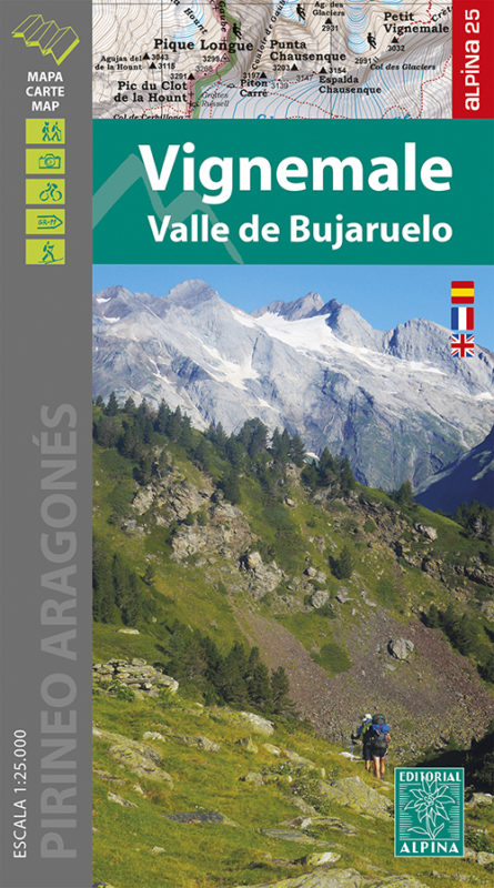
- Vignemale - Valle de Bujaruelo
- Cross-border area of the Pyrenees at 1:25,000 on a contoured and GPS compatible map covering on the Spanish side the valleys of Bujaruelo and Ara with the western section of the Ordesa National Park and the Ordesa Valley, and within France extending from the Vignemale Massif to Gavarnie, plus a Spanish/French booklet with recommendations for... Read more
Netherlands
- Wandelkaart 06 Vignemale - Valle de Bujaruelo | Editorial Alpina
- Cross-border area of the Pyrenees at 1:25,000 on a contoured and GPS compatible map covering on the Spanish side the valleys of Bujaruelo and Ara with the western section of the Ordesa National Park and the Ordesa Valley, and within France extending from the Vignemale Massif to Gavarnie, plus a Spanish/French booklet with recommendations for... Read more

United Kingdom
- Macizo de Monte Perdido - Valle de Ordesa - Pineta Editorial Alpina
- Ordesa and Monte Perdido National Park at 1:25,000 in a set of two GPS compatible recreational maps in an extensive and very popular series from Editorial Alpina, providing more detailed coverage of this popular hiking area.Contours are at 10m intervals, with relief shading and vegetation colouring. An overprint highlights waymarked PR hiking... Read more
- Also available from:
- The Book Depository, United Kingdom

United Kingdom
- Monte Perdido Macizo de / Valle de Ordesa / Pineta
- Ordesa and Monte Perdido National Park at 1:25,000 in a set of two GPS compatible recreational maps in an extensive and very popular series from Editorial Alpina, providing more detailed coverage of this popular hiking area.Contours are at 10m intervals, with relief shading and vegetation colouring. An overprint highlights waymarked PR hiking... Read more
Netherlands
2012
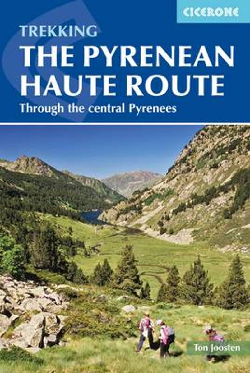
- The Pyrenean Haute Route
- The Pyrenean High-Level Route is probably the most beautiful, spectacular and challenging trek in the Pyrenees. Unlike the GR10 and GR11, the trek from Hendaye to Banyuls-sur-Mer crosses the French Spanish border many times, exploring both sides of the mountain range and staying as close as possible to the main ridge of the Pyrenees. The 800km... Read more
- Also available from:
- Bol.com, Belgium

Belgium
2012
- The Pyrenean Haute Route
- The Pyrenean High-Level Route is probably the most beautiful, spectacular and challenging trek in the Pyrenees. Unlike the GR10 and GR11, the trek from Hendaye to Banyuls-sur-Mer crosses the French Spanish border many times, exploring both sides of the mountain range and staying as close as possible to the main ridge of the Pyrenees. The 800km... Read more

United Kingdom
2010
- The Pyrenees: The High Pyrenees from the Cirque de Lescun to the Carlit Massif
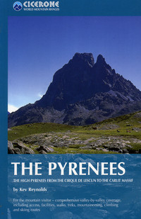
- The Pyrenees is accomplished walker Kev Reynolds’ large-format Cicerone guide to one of Europe’s most famous and impressive mountain ranges. The guide gives a valley-by-valley description of the High Pyrenees from west to east and is a very useful reference to help identify the best locations for walking, mountaineering, skiing and climbing.... Read more
- Also available from:
- The Book Depository, United Kingdom
- Bol.com, Netherlands
- Bol.com, Belgium
- De Zwerver, Netherlands

United Kingdom
2010
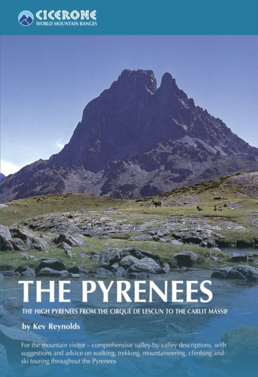
- The Pyrenees
- The High Pyrenees from the Cirque de Lescun to the Carlit Massif Read more
Netherlands
2010
- The Pyrenees
- A resource book covering the finest walks, treks and climbs in the High Pyrenees for 400km between France and Spain, from the Cirque de Lescun, on the edge of the Basque country in the west, to the Carlit massif and the Cerdagne to the east of Andorra. The book is divided into five regional chapters: the Western Valleys; Cirques and Canyons;... Read more

Belgium
2010
- The Pyrenees
- A resource book covering the finest walks, treks and climbs in the High Pyrenees for 400km between France and Spain, from the Cirque de Lescun, on the edge of the Basque country in the west, to the Carlit massif and the Cerdagne to the east of Andorra. The book is divided into five regional chapters: the Western Valleys; Cirques and Canyons;... Read more
Netherlands
2010
- Wandelgids - Klimgids - Klettersteiggids The Pyrenees | Cicerone
- A resource book covering the finest walks, treks and climbs in the High Pyrenees for 400km between France and Spain, from the Cirque de Lescun, on the edge of the Basque country in the west, to the Carlit massif and the Cerdagne to the east of Andorra. It is the first in our World Mountain Ranges series. Read more

Netherlands
- The Boy and Me
- The Boy and Me is a no holds barred account of a father and son's extraordinary walk as they struggle and muddle their way through a perilous distance trek with an edge... June 2006. Steve and his son, Michael, set out on a journey that will take them on one of the most demanding long distance treks in Europe - the HRP (Haute Randonee... Read more
- Also available from:
- Bol.com, Belgium

Belgium
- The Boy and Me
- The Boy and Me is a no holds barred account of a father and son's extraordinary walk as they struggle and muddle their way through a perilous distance trek with an edge... June 2006. Steve and his son, Michael, set out on a journey that will take them on one of the most demanding long distance treks in Europe - the HRP (Haute Randonee... Read more
Maps

United Kingdom
- Ordesa - Monte Perdido National Park Editorial Alpina 2-Map Set
- Ordesa and Monte Perdido National Park at 1:25,000 in a set of two GPS compatible recreational maps in an extensive and very popular series from Editorial Alpina, providing more detailed coverage of this popular hiking area.Contours are at 10m intervals, with relief shading and vegetation colouring. An overprint highlights waymarked PR hiking... Read more

United Kingdom
- Tour of the Canigó Hiking Circuit
- A 64-km long tour of Canigó (Canigou), the highest mountain in the eastern Pyrenees, presented by Editorial Alpina on a contoured, GPS compatible map at 1:25,000, with a booklet providing descriptions of its recommended stages.The map has contours at 20m intervals, enhanced by relief shading. The tour which follows sections of the GR10, the HRP... Read more

United Kingdom
- La Senda de Camille Editorial Alpina
- La Senda de Camille, the Pyrenean Bear Trail, a 104-km circuit in the central Pyrenees, on a contoured GPS compatible map at 1:25,000 from Editorial Alpina, plus a booklet providing information on mountain refuges. The route, which crosses over from the Spanish side to the Parc National des Pyrénées in France and incorporates part of the... Read more

United Kingdom
- Ordesa and Monte Perdido National Park Editorial Alpina
- Ordesa and Monte Perdido National Park at 1:40,000 on a GPS compatible recreational map in an extensive and very popular series from Editorial Alpina, including a booklet with English language descriptions of several walks, climbs, etc.Contours are at 20m intervals, with relief shading and altitude colouring. An overprint highlights waymarked... Read more
- Also available from:
- The Book Depository, United Kingdom

United Kingdom
- Central Pyrenees terraQuest Trekking Map
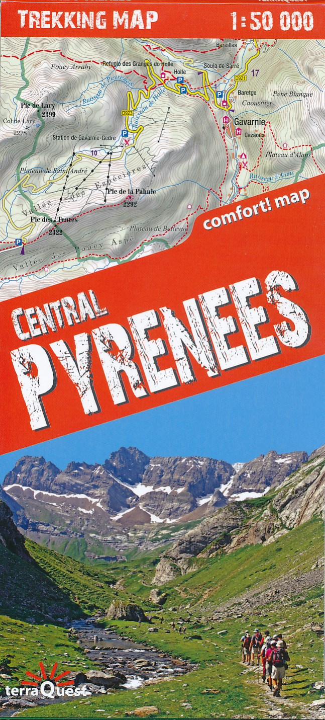
- The central part of the French Pyrenees on a waterproof and tear-resistant, contoured and GPS compatible map at 1:50,000 from terraQuest, highlighting hiking trails, campsites and refuges, etc. The map is presented in a special format handy for conveniently viewing just small sections of it at one time.Coverage extends north to the towns... Read more
- Also available from:
- De Zwerver, Netherlands
Netherlands
- Wandelkaart Trekking map Central Pyrenees - Pyreneeën | TerraQuest
- The central part of the French Pyrenees on a waterproof and tear-resistant, contoured and GPS compatible map at 1:50,000 from terraQuest, highlighting hiking trails, campsites and refuges, etc. The map is presented in a special format handy for conveniently viewing just small sections of it at one time.Coverage extends north to the towns... Read more


