Kitzbüheler Alpen
Description
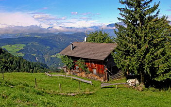
The Kitzbühel Alps is an extensive range in the central Alps. On the south side is the famous Zillertal and Hohe Tauern, with Austria's highest mountains. The Kitzbühel Alps are not that rough and glaciated, however. The highest peak here is Kreuzjoch, 2.558 m. The mountains are greener and more rounded as a result of the erosion-prone type of stone that is common here: slate.
It is a popular ski resort in winter. Summer hikers can take advantage of the many ski lifts. The paths generally offer no problems. Therefore, this mountain range is suitable for those walkers who prefer to avoid using their hands.
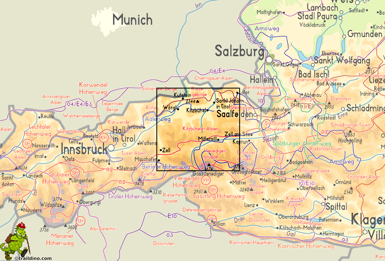
Map
Trails in this region
Links
Facts
Reports
Guides and maps
Lodging
Organisations
Tour operators
GPS
Other
Books
- Also available from:
- Bol.com, Belgium

The Book Depository
United Kingdom
2010
United Kingdom
2010
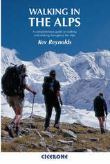
- Walking in the Alps
- A comprehensive guide to walking and trekking throughout the Alps Read more
- Also available from:
- Bol.com, Netherlands
- Bol.com, Belgium
- De Zwerver, Netherlands

Bol.com
Netherlands
2010
Netherlands
2010
- Walking in the Alps
- The second edition of this classic guidebook by Kev Reynolds on walking and trekking in the Alps. This book is a definitive guide to the many thousands of possible routes, with a geographical span that ranges from the Maritime Alps of southern France to the Julians of Slovenia, from Italy's Gran Paradiso to the little-known Turnitzer Alps of... Read more

Bol.com
Belgium
2010
Belgium
2010
- Walking in the Alps
- The second edition of this classic guidebook by Kev Reynolds on walking and trekking in the Alps. This book is a definitive guide to the many thousands of possible routes, with a geographical span that ranges from the Maritime Alps of southern France to the Julians of Slovenia, from Italy's Gran Paradiso to the little-known Turnitzer Alps of... Read more
De Zwerver
Netherlands
2010
Netherlands
2010
- Wandelgids Walking in the Alps | Cicerone
- Second edition of this classic Kev Reynolds guidebook on walking and trekking in the Alps. Suggests many thousands of possible routes, and covers the range from the Maritime Alps of southern France to the Julian Alps of Slovenia. Walks vary from undemanding to long and tough, and everything in between. Read more
De Zwerver
Netherlands
2022
Netherlands
2022
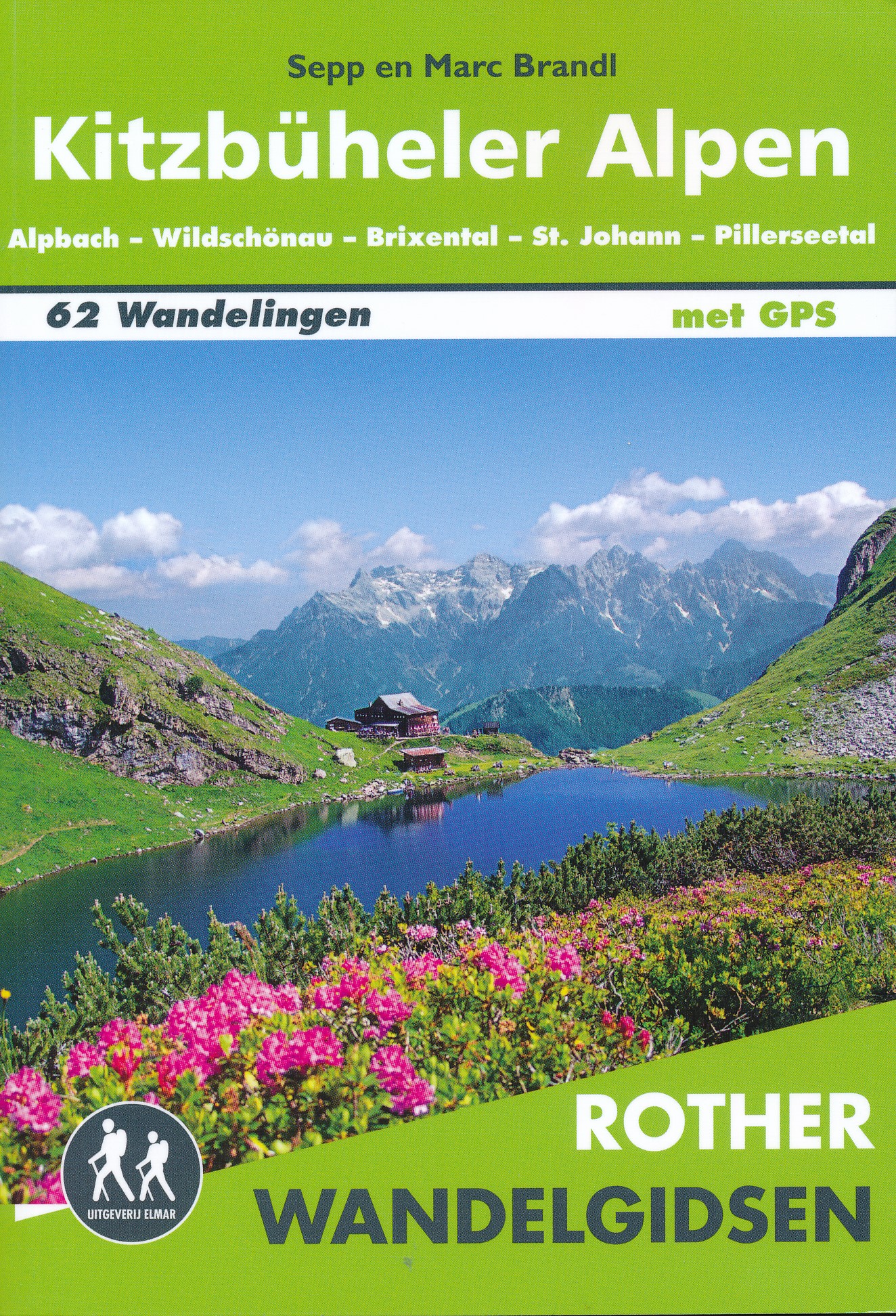
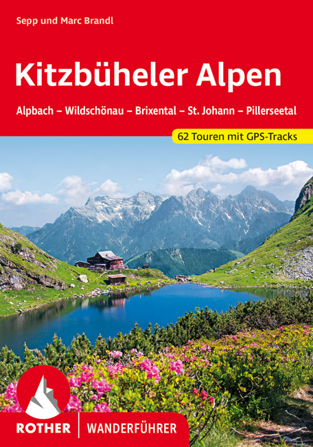
- Wandelgids Kitzbüheler Alpen | Rother Bergverlag
- Uitstekende wandelgids met een groot aantal dagtochten in dal en hooggebergte. Met praktische informatie en beperkt kaartmateriaal! Wandelingen in verschillende zwaarte weergegeven in rood/blauw/zwart. Die Kitzbüheler Alpen sind wohl für die meisten ein Synonym für den alpinen Skilauf auf der Piste und im Tourengelände. Der Skisport hat hier... Read more

Bol.com
Netherlands
Netherlands
- Kitzb heler Alpen, Tuxer und Zillertaler Alpen. Skitourenf hrer
- Die Kitzb heler und die Tuxer Alpen mit ihren besonders skifreundlich geformten Schieferbergen sind eine Landschaft mit gro artigen M glichkeiten f r genussvolle Skitouren. Das Tourengel nde der Kitzb heler Alpen bietet vielfach bis in die Gipfelregion herrliche Almwiesen, f r Einsteiger wie geschaffen. F r Genie er besonders interessant sind... Read more
- Also available from:
- Bol.com, Belgium

Bol.com
Belgium
Belgium
- Kitzb heler Alpen, Tuxer und Zillertaler Alpen. Skitourenf hrer
- Die Kitzb heler und die Tuxer Alpen mit ihren besonders skifreundlich geformten Schieferbergen sind eine Landschaft mit gro artigen M glichkeiten f r genussvolle Skitouren. Das Tourengel nde der Kitzb heler Alpen bietet vielfach bis in die Gipfelregion herrliche Almwiesen, f r Einsteiger wie geschaffen. F r Genie er besonders interessant sind... Read more
Maps

Stanfords
United Kingdom
United Kingdom
- Kitzbuhel Alps East Alpenverein SKI Map 34/2
- Kitzbüheler Alps East area of the Alps in a ski edition at 1:50,000 from a series of detailed, GPS compatible maps published by the DAV - Deutscher Alpenverein and produced by the German and Austrian Alpine Clubs using cartography from their respective survey organizations. Maps in this series have topography vividly presented by contours at 20... Read more

Stanfords
United Kingdom
United Kingdom
- Kufstein - Kaisergebirge - Kitzbühel F&B WK301
- Kufstein - Kaisergebirge - Kitzbühel - Wörgl - St Johann in Tirol area of the Austrian Alps presented at 1:50,000 in a series of contoured and GPS compatible outdoor leisure map from Freytag & Berndt with hiking and cycling routes, mountain huts, campsites and youth hostels, local bus stops, plus other tourist information. To see the list of... Read more
- Also available from:
- The Book Depository, United Kingdom
» Click to close
Bol.com
Netherlands
Netherlands
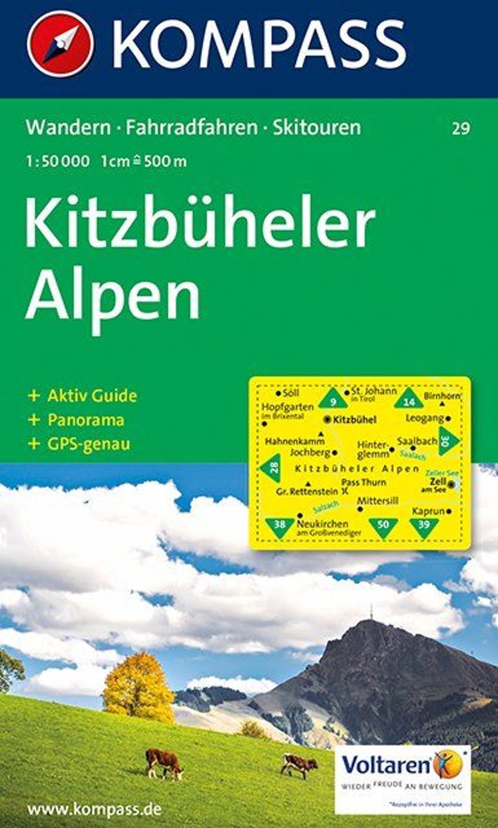
- Kitzbühler Alpen WK29
- Deze Kompass wandelkaart, schaal 1:50 000, is ideaal om uw route uit te stippelen en om onderweg te gebruiken • naast de bekende bestemmingen, worden ook de minder bekende vermeld • openbaar vervoer bij begin- of eindpunt van een route aangegeven • eenvoudige wandelingen tot pittige (berg)tochten, voor getrainde en ongetrainde wandelaars • met... Read more
- Also available from:
- Bol.com, Belgium

Bol.com
Belgium
Belgium
- Kitzbühler Alpen WK29
- Deze Kompass wandelkaart, schaal 1:50 000, is ideaal om uw route uit te stippelen en om onderweg te gebruiken • naast de bekende bestemmingen, worden ook de minder bekende vermeld • openbaar vervoer bij begin- of eindpunt van een route aangegeven • eenvoudige wandelingen tot pittige (berg)tochten, voor getrainde en ongetrainde wandelaars • met... Read more
De Zwerver
Netherlands
Netherlands
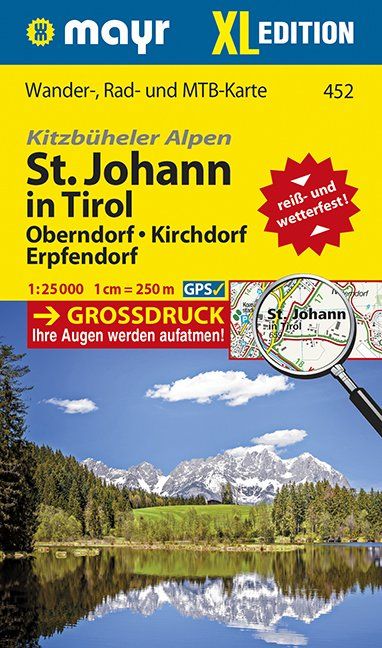
- Wandelkaart 452 XL Sankt Johann in Tirol | Mayr
- Oberndorf, Kirchforf, Erpfendorf. Kitzbüheler Alpen. Wander-, Rad- und Mountainbikekarte. GPS-genau. 1 : 25 000 Mayr Wanderkarten. Neuauflage. Read more

Stanfords
United Kingdom
United Kingdom
- Bregenz Forest F&B WK364
- Bregenz - Bregenzerwald area of the Austrian Alps presented at 1:50,000 in a series of contoured and GPS compatible outdoor leisure map from Freytag & Berndt with hiking and cycling routes, mountain huts, campsites and youth hostels, local bus stops, plus other tourist information. To see the list of currently available titles in this series... Read more
- Also available from:
- The Book Depository, United Kingdom
- Bol.com, Netherlands
- Bol.com, Belgium

The Book Depository
United Kingdom
United Kingdom
- Bregenz Forest Hiking + Leisure Map 1:50 000
- Bregenz - Bregenzerwald area of the Austrian Alps presented at 1:50,000 in a series of contoured and GPS compatible outdoor leisure map from Freytag & Berndt with hiking and cycling routes, mountain huts, campsites and youth hostels, local bus stops, plus other tourist information. To see the list of currently available titles in this series... Read more

Bol.com
Netherlands
Netherlands
- FB WK364 Bregenzerwald
- Aufgrund der übersichtlichen und detailgetreuen, digitalen Kartographie sowie der ideal gewählten Maßstäbe sind freytag & berndt Wanderkarten der perfekte Begleiter beim Wandern und Bergsteigen. Sie werden regelmäßig überarbeitet und enthalten aktualisierte Informationen zu Wanderwegen, Rad- und Mountainbikestrecken, Hütten, Naturdenkmälern,... Read more

Bol.com
Belgium
Belgium
- FB WK364 Bregenzerwald
- Aufgrund der übersichtlichen und detailgetreuen, digitalen Kartographie sowie der ideal gewählten Maßstäbe sind freytag & berndt Wanderkarten der perfekte Begleiter beim Wandern und Bergsteigen. Sie werden regelmäßig überarbeitet und enthalten aktualisierte Informationen zu Wanderwegen, Rad- und Mountainbikestrecken, Hütten, Naturdenkmälern,... Read more

De Zwerver
Netherlands
2017
Netherlands
2017
- Wandelkaart 1517 Kitzbüheler Alpen | Publicpress
- Kitzbüheler Alpen, Saalbach-Hinterglemm, Saalfelden - Zell am See 1:35 000 Wander- und Radkarte ab 10 EURO Wander- und Radkarte mit Ausflugszielen & Freizeittipps, wetterfest, reißfest, abwischbar, GPS-genau PUBLICPRESS Wander- und Radkarte. 1. Auflage Read more

Stanfords
United Kingdom
United Kingdom
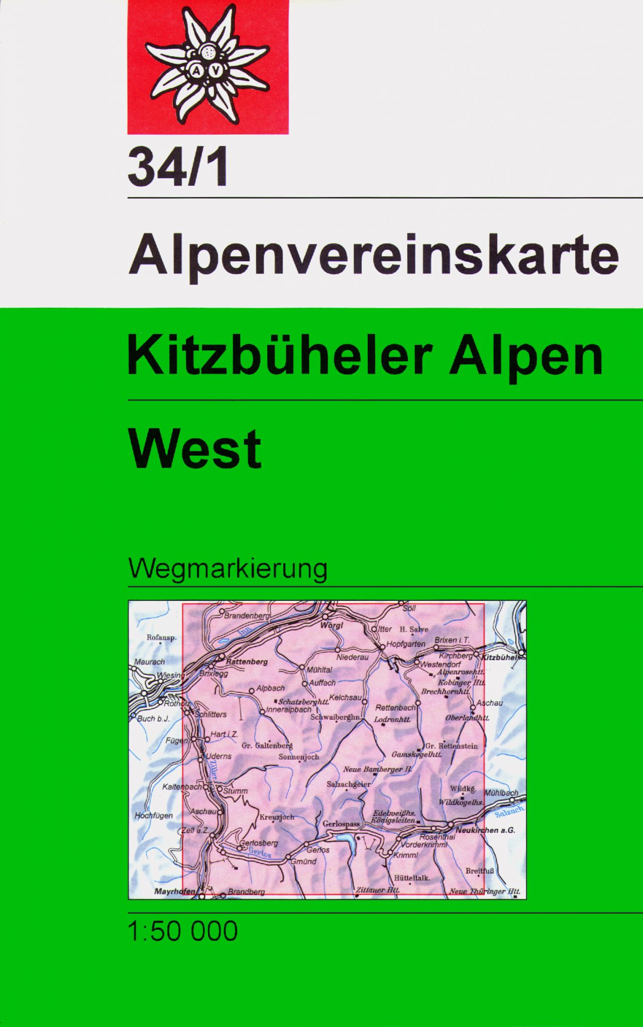
- Kitzbuhel Alps West Alpenverein Map 34/1
- Kitzbüheler Alps West area of the Alps in a hiking edition at 1:50,000 from a series of detailed, GPS compatible maps published by the DAV - Deutscher Alpenverein and produced by the German and Austrian Alpine Clubs using cartography from their respective survey organizations. Maps in this series have topography vividly presented by contours at... Read more
- Also available from:
- De Zwerver, Netherlands
De Zwerver
Netherlands
Netherlands
- Wandelkaart 34/1 Alpenvereinskarte Kitzbüheler Alpen - West | Alpenverein
- De beste en meest gedetailleerde kaarten van met name de Oostenrijkse alpen: wandelroutes zijn naar zwaarte onderscheidend gemarkeerd, gletsjeroverschrijdingen staan aangegeven en de verschillende soorten hutten ingetekend. Met als ondergrond de topografische kaarten bieden ze een schat aan informatie voor elke beginnende en gevorderde... Read more

Stanfords
United Kingdom
United Kingdom
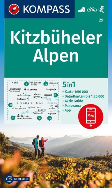
- Kitzbühel Alps Kompass 29
- Kitzbühel Alps, with a panorama map on the reverse, on a detailed, GPS compatible map at 1:50,000 from Kompass with local and long-distance footpaths, cycling routes, accommodation, etc.KOMPASS HIKING & RECREATIONAL MAPS: this title is part of an extensive series covering Austria, much of Germany and the Slovenian Alps. Kompass are Europe’s... Read more
- Also available from:
- De Zwerver, Netherlands
De Zwerver
Netherlands
Netherlands
- Wandelkaart 29 Kitzbüheler Alpen | Kompass
- Kitzbühel Alps, with a panorama map on the reverse, on a detailed, GPS compatible map at 1:50,000 from Kompass with local and long-distance footpaths, cycling routes, accommodation, etc.KOMPASS HIKING & RECREATIONAL MAPS: this title is part of an extensive series covering Austria, much of Germany and the Slovenian Alps. Kompass are Europe’s... Read more

Stanfords
United Kingdom
United Kingdom
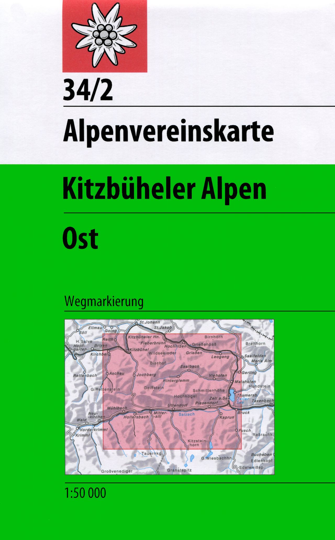
- Kitzbuhel Alps East Alpenverein Map 34/2
- Kitzbüheler Alps East area of the Alps in a hiking edition at 1:50,000 from a series of detailed, GPS compatible maps published by the DAV - Deutscher Alpenverein and produced by the German and Austrian Alpine Clubs using cartography from their respective survey organizations. Maps in this series have topography vividly presented by contours at... Read more
- Also available from:
- De Zwerver, Netherlands
De Zwerver
Netherlands
Netherlands
- Wandelkaart 34/2 Alpenvereinskarte Kitzbüheler Alpen - Ost | Alpenverein
- De beste en meest gedetailleerde kaarten van met name de Oostenrijkse alpen: wandelroutes zijn naar zwaarte onderscheidend gemarkeerd, gletsjeroverschrijdingen staan aangegeven en de verschillende soorten hutten ingetekend. Met als ondergrond de topografische kaarten bieden ze een schat aan informatie voor elke beginnende en gevorderde... Read more
More maps…


