
Salzburg
Description
Bundesland around the city of Salzburg, central Austria. Here you will find some of the heighest and wildest mountain regions of the country.
Trails in this state
Links
Facts
Reports
Guides and maps
Lodging
Organisations
Tour operators
GPS
Other
Books

Stanfords
United Kingdom
United Kingdom
- Rick Steves Pocket Munich & Salzburg (Second Edition)
- Make the most of every day and every dollar with Rick Steves! This colorful, compact guidebook is perfect for spending a week or less in Munich and Salzburg: City walks and tours: Five detailed self-guided walks including a Munich city walk, Nymphenburg Palace tour, Sound of Music tour, and more Rick`s strategic advice on what`s worth your time... Read more

Stanfords
United Kingdom
United Kingdom
- Rick Steves Best of Germany (Third Edition): With Salzburg
- Hit Germany`s can`t-miss art, sights, and bites in two weeks or less with Rick Steves Best of Germany! Inside you`ll find:*Strategic advice from Rick Steves on what`s worth your time and money*Short itineraries covering Munich, Bavaria, Rothenburg and the Romantic Road, the Rhine Valley, and Berlin, plus Salzburg, Austria*Rick`s tips for... Read more

Stanfords
United Kingdom
United Kingdom
- Frommer`s Vienna Day by Day
- Vienna, Austria is so rich with cultural treasures, so replete with sights and wonders, that visitors are often bewildered by the task of planning a visit. Which of nearly 100 museums to visit? Which of countless theatres and concert halls? With an endless number of celebrated restaurants, cafes, lively taverns, bakeries serving famous... Read more

Stanfords
United Kingdom
United Kingdom
- St. Johann im Pongau - Salzburger Land Kompass 80
- Salzburger Alps area south of Salzburg itself, including St. Johann in Pongau, Pongau and Bad Gastein, on a detailed, GPS compatible map at 1:50,000 from Kompass with local and long-distance footpaths, cycling routes, accommodation, etc.KOMPASS HIKING & RECREATIONAL MAPS: this title is part of an extensive series covering Austria, much of... Read more

Stanfords
United Kingdom
United Kingdom
- Wolfgangsee - Fuschlsee - Mondsee Kompass 018
- Wolfgangsee - Fuschlsee - Mondsee, the lakes of the Salzkammergut area east of Salzburg, on a detailed, GPS compatible map at 1:25,000 from Kompass with local and long-distance footpaths, cycling routes, accommodation, etc, printed on durable, waterproof and tear-resistant synthetic paper.KOMPASS HIKING & RECREATIONAL MAPS: this title is part... Read more

Stanfords
United Kingdom
2020
United Kingdom
2020
- Walking in the Salzkammergut: the Austrian Lake District: 30 walks in Salzburg`s lakes and mountains, including the Dachstein
- Guidebook of 30 stunning day walks in the beautiful Salzkammergut lake district of Austria. Easy to get to from Linz and Salzburg, the area is studded with lakes and bristling with mountain peaks, and has a great range of waymarked trails, from lakeside strolls to challenging mountain walks. The routes in this book are within the capabilities... Read more
- Also available from:
- The Book Depository, United Kingdom
- De Zwerver, Netherlands

The Book Depository
United Kingdom
2020
United Kingdom
2020
- Walking in the Salzkammergut: the Austrian Lake District
- 30 walks in Salzburg's lakes and mountains, including the Dachstein Read more

De Zwerver
Netherlands
2020
Netherlands
2020

Stanfords
United Kingdom
2017
United Kingdom
2017
- The Swiss Alpine Pass Route - via Alpina Route 1: Trekking East to West Across Switzerland
- This guidebook presents the stunning Alpine Pass Route, now fully waymarked as Via Alpina 1. The 360km trail traverses Switzerland from east to west, from Sargans near the Liechtenstein border to Montreux on Lac Leman (Lake Geneva). Crossing sixteen Alpine passes, it showcases some of the country`s most breathtaking mountain landscapes,... Read more
- Also available from:
- Bol.com, Netherlands
- Bol.com, Belgium

Bol.com
Netherlands
2017
Netherlands
2017
- The Swiss alpine pass route - Via Alpina route 1
- This guidebook presents the stunning Alpine Pass Route, now fully waymarked as Via Alpina 1. The 360km trail traverses Switzerland from east to west, from Sargans near the Liechtenstein border to Montreux on Lac Léman (Lake Geneva). Crossing sixteen Alpine passes, it showcases some of the country's most breathtaking mountain landscapes,... Read more
Bol.com
Belgium
2017
Belgium
2017
- The Swiss alpine pass route - Via Alpina route 1
- This guidebook presents the stunning Alpine Pass Route, now fully waymarked as Via Alpina 1. The 360km trail traverses Switzerland from east to west, from Sargans near the Liechtenstein border to Montreux on Lac Léman (Lake Geneva). Crossing sixteen Alpine passes, it showcases some of the country's most breathtaking mountain landscapes,... Read more

Stanfords
United Kingdom
2015
United Kingdom
2015
- Crete High Mountain Walks, the White Mountains, Mt Ida and Lassithi - 3rd ed.
- The High Mountains of Crete is Loraine Wilson’s authoritative Cicerone guide to the best walking routes in Crete’s mountainous regions. The guide covers walks in the well-known Samaria Gorge and the other dramatic gorges and numerous peaks rising to over 2100m, alongside high mountain plains, forested crags, massive cliffs and remote beaches.... Read more
- Also available from:
- The Book Depository, United Kingdom
- Bol.com, Netherlands
- Bol.com, Belgium
- De Zwerver, Netherlands

The Book Depository
United Kingdom
2015
United Kingdom
2015
- The High Mountains of Crete
- The White Mountains, Psiloritis and Lassithi Mountains Read more

Bol.com
Netherlands
2015
Netherlands
2015
- The high mountains of Crete
- Guidebook to walking and trekking the high mountains of Crete. The largest of the Greek Islands, Crete's mountains provide breathtaking walking and wilderness on this popular island. The routes in this guidebook are graded for difficulty and range from short, easy strolls to challenging, multi-day treks, providing options for all walkers. In... Read more
Bol.com
Belgium
2015
Belgium
2015
- The high mountains of Crete
- Guidebook to walking and trekking the high mountains of Crete. The largest of the Greek Islands, Crete's mountains provide breathtaking walking and wilderness on this popular island. The routes in this guidebook are graded for difficulty and range from short, easy strolls to challenging, multi-day treks, providing options for all walkers. In... Read more

De Zwerver
Netherlands
2015
Netherlands
2015
- Wandelgids The high mountains of Crete - Kreta | Cicerone
- Guidebook of walking routes in Crete's mountains, covering the Lefka Ori (White Mountains), Mount Ida (the Psiloritis range), the Lassithi mountains and E4 trail. Each of the 87 walks is graded, in a range between 2 and 28km with various longer options, covering a multitude of terrains from rugged mountain ridges to forested crags and beaches. Read more
Bol.com
Netherlands
Netherlands
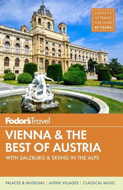
- Fodor's Vienna and the Best of Austria
- Written by local experts, Fodor's travel guides have been offering advice and professionally vetted recommendations for all tastes and budgets for 80 years.With its old-world charm, musical heritage, and alpine landscapes, Vienna and Austria offer choices for every traveler. Fodors Vienna and the Best of Austria captures the top experiences... Read more
- Also available from:
- Bol.com, Belgium
Bol.com
Belgium
Belgium
- Fodor's Vienna and the Best of Austria
- Written by local experts, Fodor's travel guides have been offering advice and professionally vetted recommendations for all tastes and budgets for 80 years.With its old-world charm, musical heritage, and alpine landscapes, Vienna and Austria offer choices for every traveler. Fodors Vienna and the Best of Austria captures the top experiences... Read more
De Zwerver
Netherlands
2021
Netherlands
2021
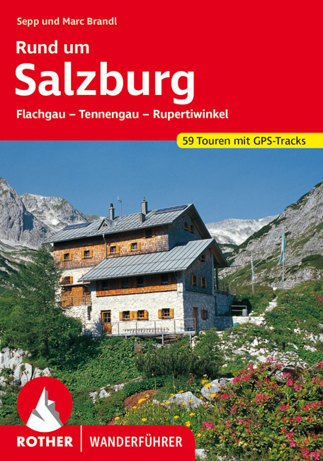
- Wandelgids Rund um Salzburg | Rother Bergverlag
- Uitstekende wandelgids met een groot aantal dagtochten in dal en hooggebergte. Met praktische informatie en beperkt kaartmateriaal! Wandelingen in verschillende zwaarte weergegeven in rood/blauw/zwart. Es war kein geringerer als der Forscher und Weltreisende Alexander von Humboldt, der bereits vor rund 200 Jahren die Gegend rund um Salzburg zu... Read more

De Zwerver
Netherlands
2013
Netherlands
2013
- Wandelgids Salzburger Almenweg | Conrad Stein Verlag
- Der Salzburger Almenweg ist 350 Kilometer lang und führt zum Ausgangspunkt zurück. Meist geht es über Pfade, die mit etwas Kondition und Trittsicherheit von jedem bewältigt werden können, Bergerfahrung ist nicht nötig. In diesem Buch wird jede der 31 Etappen detailliert beschrieben, so dass sich die Nutzer nicht verlaufen können. Unterwegs gibt... Read more
De Zwerver
Netherlands
2015
Netherlands
2015
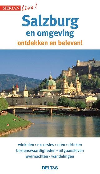
- Reisgids Merian live Salzburg merian | Deltas
- Handige en overzichtelijke, kleine reisgids voor een eerste kennismaking met het land. Voor- en achterin uitklapbare kaart. Aandacht voor o.a. taal, festivals en eten en drinken. Prettig formaat en toch met veel foto’s. Nederlands Read more
Bol.com
Netherlands
Netherlands
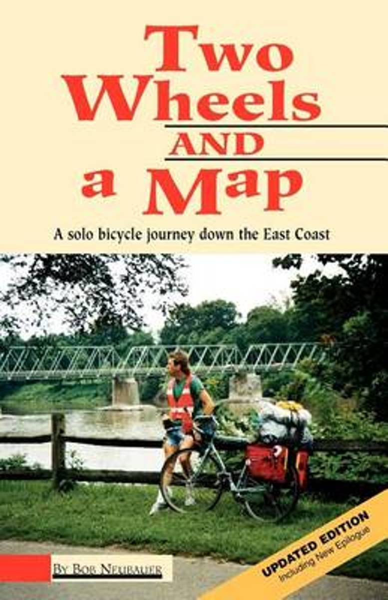
- Two Wheels and a Map
- Long before smart phones and GPS devices simplified bike touring, cyclists were crossing the roads of this country, equipped with little more than two wheels and a map. This is the tale of one such rider who tackled the East Coast in the early '90s. Leaving behind an unfulfilling job, he loaded up his bike and set off, meandering along rural... Read more
- Also available from:
- Bol.com, Belgium
Bol.com
Belgium
Belgium
- Two Wheels and a Map
- Long before smart phones and GPS devices simplified bike touring, cyclists were crossing the roads of this country, equipped with little more than two wheels and a map. This is the tale of one such rider who tackled the East Coast in the early '90s. Leaving behind an unfulfilling job, he loaded up his bike and set off, meandering along rural... Read more
Bol.com
Netherlands
2016
Netherlands
2016
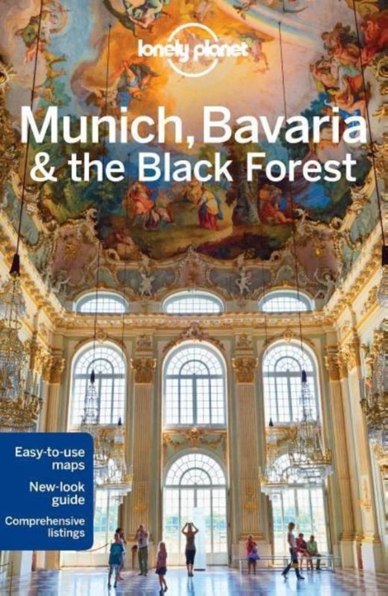
- Lonely Planet Munich, Bavaria & the Black Forest
- Lonely Planet: The world's leading travel guide publisherLonely Planet Munich, Bavaria & the Black Forest is your passport to the most relevant, up-to-date advice on what to see and skip, and what hidden discoveries await you. Join in the festivities at Munich's Oktoberfest, step into the Schloss Neuschwanstein fairytale castle, or hike among... Read more
- Also available from:
- Bol.com, Belgium
Bol.com
Belgium
2016
Belgium
2016
- Lonely Planet Munich, Bavaria & the Black Forest
- Lonely Planet: The world's leading travel guide publisherLonely Planet Munich, Bavaria & the Black Forest is your passport to the most relevant, up-to-date advice on what to see and skip, and what hidden discoveries await you. Join in the festivities at Munich's Oktoberfest, step into the Schloss Neuschwanstein fairytale castle, or hike among... Read more
Maps

Stanfords
United Kingdom
United Kingdom
- Hohe Wand - Schneebergland - Gutenstein Alps - Piestingtal - Lilienfeld F&B WK012
- Hohe Wand - Piestingtal - Triestingtal - Gölsental - Gutensteier Alpen – Lilienfeld area south-west of Vienna presented at 1:50,000 in a series of contoured and GPS compatible outdoor leisure map from Freytag & Berndt with hiking and cycling routes, mountain huts, campsites and youth hostels, local bus stops, plus other tourist information.To... Read more

Stanfords
United Kingdom
United Kingdom
- Mattsee - Wallersee - Irrsee - Fuschl - Mondsee - Oberndorf F&B WK391
- Mattsee - Wallersee - Irrsee - Fuschl - Mondsee - Oberndorf - Salzburg - Wolfgangsee area of the Austrian Alps presented at 1:50,000 in a series of contoured and GPS compatible outdoor leisure map from Freytag & Berndt with hiking and cycling routes, mountain huts, campsites and youth hostels, local bus stops, plus other tourist information. To... Read more

Stanfords
United Kingdom
United Kingdom
- Grossglockner - Sonnblick - Kaprun - Zell am See F&B WK120
- Grossglockner - Sonnblick - Kaprun - Zell am See area of the Austrian Alps presented at 1:50,000 in a series of contoured and GPS compatible outdoor leisure map from Freytag & Berndt with hiking and cycling routes, mountain huts, campsites and youth hostels, local bus stops, plus other tourist information.To see the list of currently available... Read more

Stanfords
United Kingdom
United Kingdom
- Attersee - Traunsee - Höllengebirge - Mondsee - Wolfgangsee F&B WK282
- Attersee - Traunsee - Höllengebirge - Mondsee - Wolfgangsee area of the Austrian Alps presented at 1:50,000 in a series of contoured and GPS compatible outdoor leisure map from Freytag & Berndt with hiking and cycling routes, mountain huts, campsites and youth hostels, local bus stops, plus other tourist information. To see the list of... Read more

Stanfords
United Kingdom
United Kingdom
- Gasteinertal - Wagrain - Raurisertal - Grossarltal F&B WK191
- Gasteiner Tal - Wagrain - Grossarltal - St. Johann im Pongau - Bad Hofgastein - Bad Gastein area of the Austrian Alps presented at 1:50,000 in a series of contoured and GPS compatible outdoor leisure map from Freytag & Berndt with hiking and cycling routes, mountain huts, campsites and youth hostels, local bus stops, plus other tourist... Read more

Stanfords
United Kingdom
United Kingdom
- Styrian Winelands - Southwest Styria F&B WK411
- Styrian Winelands area south-eastern Austria presented at 1:50,000 in a series of contoured and GPS compatible outdoor leisure map from Freytag & Berndt with hiking and cycling routes, mountain huts, campsites and youth hostels, local bus stops, plus other tourist information. To see the list of currently available titles in this series please... Read more

Stanfords
United Kingdom
United Kingdom
- Goms - Aletsch
- Goms - Aletsch area of the Bernese Oberland at 1:50,000 in a series from Hallwag covering Switzerland’s popular hiking regions on light, waterproof and tear-resistant maps highlighting long-distance paths: the nine national routes plus special regional routes, as well as other local hiking trails.Cartography is similar to that used both in... Read more

Stanfords
United Kingdom
United Kingdom
- Zell am See - Kaprun - Saalbach F&B WK382
- Zell-am-See - Kaprun - Saalbach area of the Austrian Alps presented at 1:50,000 in a series of contoured and GPS compatible outdoor leisure map from Freytag & Berndt with hiking and cycling routes, mountain huts, campsites and youth hostels, local bus stops, plus other tourist information. To see the list of currently available titles in this... Read more

Stanfords
United Kingdom
United Kingdom
- Mayrhofen - Zillertal Alps - Gerlos - Krimml - Tuxertal - Zell im Zillertal F&B WK152
- Mayrhofen - Zillertal Alps - Gerlos - Krimml - Tuxertal - Zell im Zillertal area of the Austrian Alps presented at 1:50,000 in a series of contoured and GPS compatible outdoor leisure map from Freytag & Berndt with hiking and cycling routes, mountain huts, campsites and youth hostels, local bus stops, plus other tourist information.To see the... Read more

Stanfords
United Kingdom
United Kingdom
- Austria Michelin
- The Michelin National road map of Austria at 1:400,000 scale is ideal for route planning and touring. The map gives comprehensive coverage of national road networks showing all major motorways, dual carriageways, national & regional main roads and some single-lane roads. Also shows unsurfaced roads and tracks and major footpaths. The map is... Read more
Stanfords
United Kingdom
United Kingdom
- Montreux
- Montreux - Col du Pillon area at 1:50,000 in a series from Hallwag covering Switzerland’s popular hiking regions on light, waterproof and tear-resistant maps highlighting long-distance paths: the nine national routes plus special regional routes, as well as other local hiking trails.Cartography is similar to that used both in Hallwag’s hiking... Read more

Stanfords
United Kingdom
United Kingdom
- Cinque Terre - Golfo del Tigullio: La Spezia - Sestri Levante - Rapallo - Genoa 50K IGC Map No. 23
- Cinque Terre - Golfo del Tigullio area of the Italian Riviera from genoa to la Spezia including Sestri Levante and Rapallo in a series contoured hiking maps at 1:50,000 with local trails, long-distance footpaths, mountain accommodation, etc. from the Turin based Istituto Geografico Centrale.Maps in this series have contours at 50m intervals,... Read more

Stanfords
United Kingdom
United Kingdom
- Ciclovia Alpe Adria Cycle Route - Salzburg to Grado Bikeline Cycling Guide ITALIAN
- The Alps to the Adriatic Route: Salzburg to Grado, a 410-km long cycle route across eastern Tyrol and Carinthia to Grado in north-eastern Italy near Trieste, an Italian - Austrian project of Ciclovia Alpe Adria – the CAAR. The route is presented by the Verlag Esterbauer in guide with maps at 1:50,000 . Extensive information is conveyed by... Read more

Stanfords
United Kingdom
United Kingdom
- Alps-Adriatic Cycle Route - Salzburg to Grado Bikeline Map-Guide
- The Alps to the Adriatic Route: Salzburg to Grado, a 410-km long cycle route across eastern Tyrol and Carinthia to Grado in north-eastern Italy near Trieste, an Italian - Austrian project of Ciclovia Alpe Adria – the CAAR. The route is presented by the Verlag Esterbauer in guide with maps at 1:50,000 . Extensive information is conveyed by... Read more

Stanfords
United Kingdom
United Kingdom
- Val Venosta / Vinschgau K+F Outdoor Map 1
- Val Venosta / Vinschgau area in the Dolomites at 1:50,000 in a series of waterproof and tear-resistant, GPS compatible and contoured recreational maps from Kümmerly + Frey with both local and long-distance hiking and cycling trails, ski routes, sites for other outdoor pursuits, accommodation, bus stops, etc. Coverage includes the Ortles/Ortler... Read more