Maximiliansweg
Description
- Name Maximiliansweg (Max)
- Length of trail 359 km, 223 miles
- Length in days 22 days
- Start of trail Lindau
- End of trail Berchtesgaden
- Traildino grading MW, Moderate walk, backpacking trail
- Hut tour grading T1, Walk

Crossing the German Alps from west to east, from Lindau to Berchtesgaden, 359 (367) km, 22 (24) days.
King Maximilian the Second himself traveled from Lindau on the Bodensee to Bergtesgaden on the Austrian Border. We read the year 1858. Germany is still a promise. You will have to walk the trail yourself, not like Maximilian who had his entourage of servants.
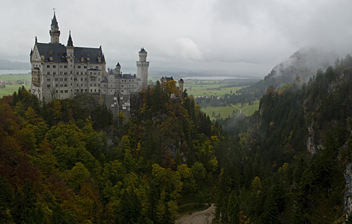
This path highlights a typical corner of Germany: baroque churches, old merchant houses, and the fantastic castles of “mad” king Ludwig like Neuschwanstein. From west to east the trail crosses the Bregenzer Wald, the Allgäuer Alps, the Ammergauer Alps, Wetterstein, the Bavarian Alps, the Chiemgauer Alps and the Berchtesgadener Alps. This southern part of Bayern, a beautiful mixture of rolling farmland, forests and views of the Alps, is enchanting to the wanderer.
The trail comes in two varieties: a lower route (Jochroute) and a higher route (Gipfelroute). The Gipfelroute takes you into the bare rocks, like the Benediktenwand. The steeper parts are secured. Some easy climbing is involved. The summits often reach 1.800 m, sometimes 2.000 m. A sidewalk to Germany's highest mountain, the Zugspitze (2962 m) is possible. In many places the lower and higher route coincide. The trail is part of the European Long Distance Trail E4.
As for the catering and lodging, you can be comforted: the trail is sprinkled with huts, and many of them are open all year, others stay open all summer until November.
Links
Facts
Reports
Guides and maps
Lodging
Organisations
Tour operators
GPS
Other
Books

Netherlands
2022
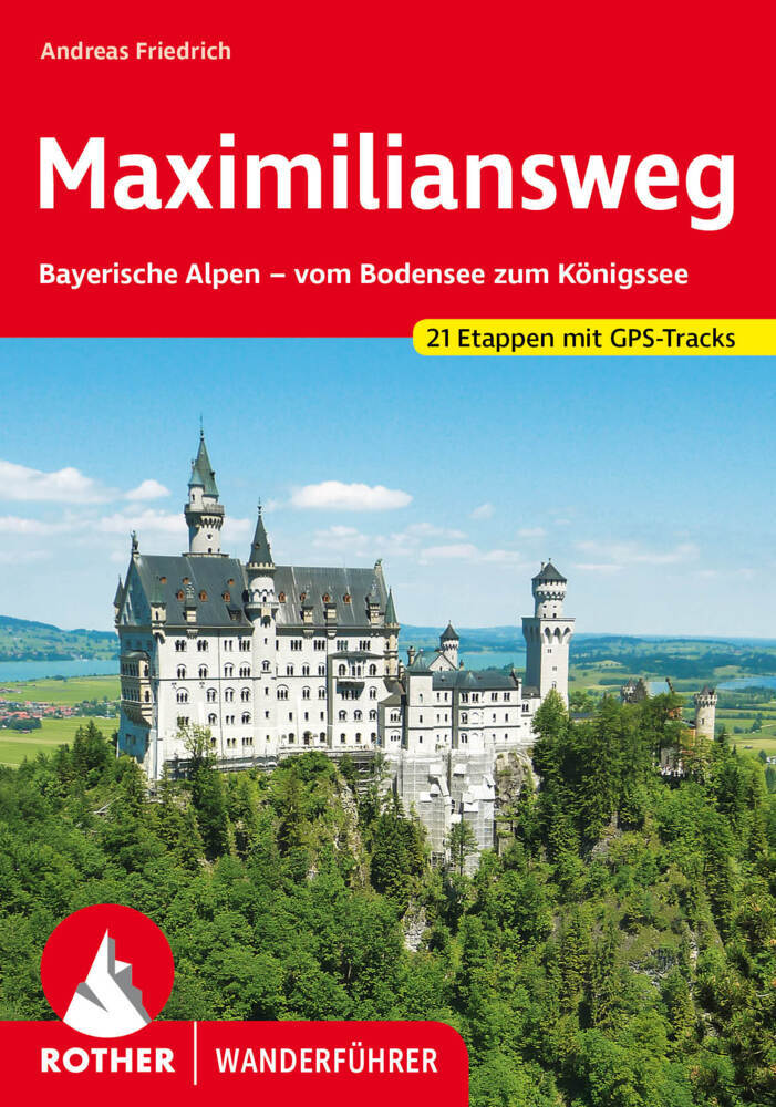
- Wandelgids Maximiliansweg | Rother Bergverlag
- Bayerische Alpen - vom Bodensee zum Königssee. 21 Etappen. Mit GPS-Daten Rother Wanderführer. 1., Auflage. Read more


