GR5
Description
- Name GR5 (GR5)
- Length of trail 2,600 km, 1,616 miles
- Length in days 130 days
- Start of trail Bergen op Zoom (Nl)
- End of trail Nice (F)
- Traildino grading MW, Moderate walk, backpacking trail
- Hut tour grading T1, Walk


Northsea - Riviera, three months
The GR5 is one of the most popular long distance hikes in Europe. And with reasons: the trail connects the North Sea with the Mediterranean and crosses some of the best and most varied mountain ranges of the continent. If you want, you can continue the GR5 north into Great Brittain: the E2.
Along this trail, friendships were coined and hiking clubs were born... Not surprisingly, a lot of information can be found on the world wide web.
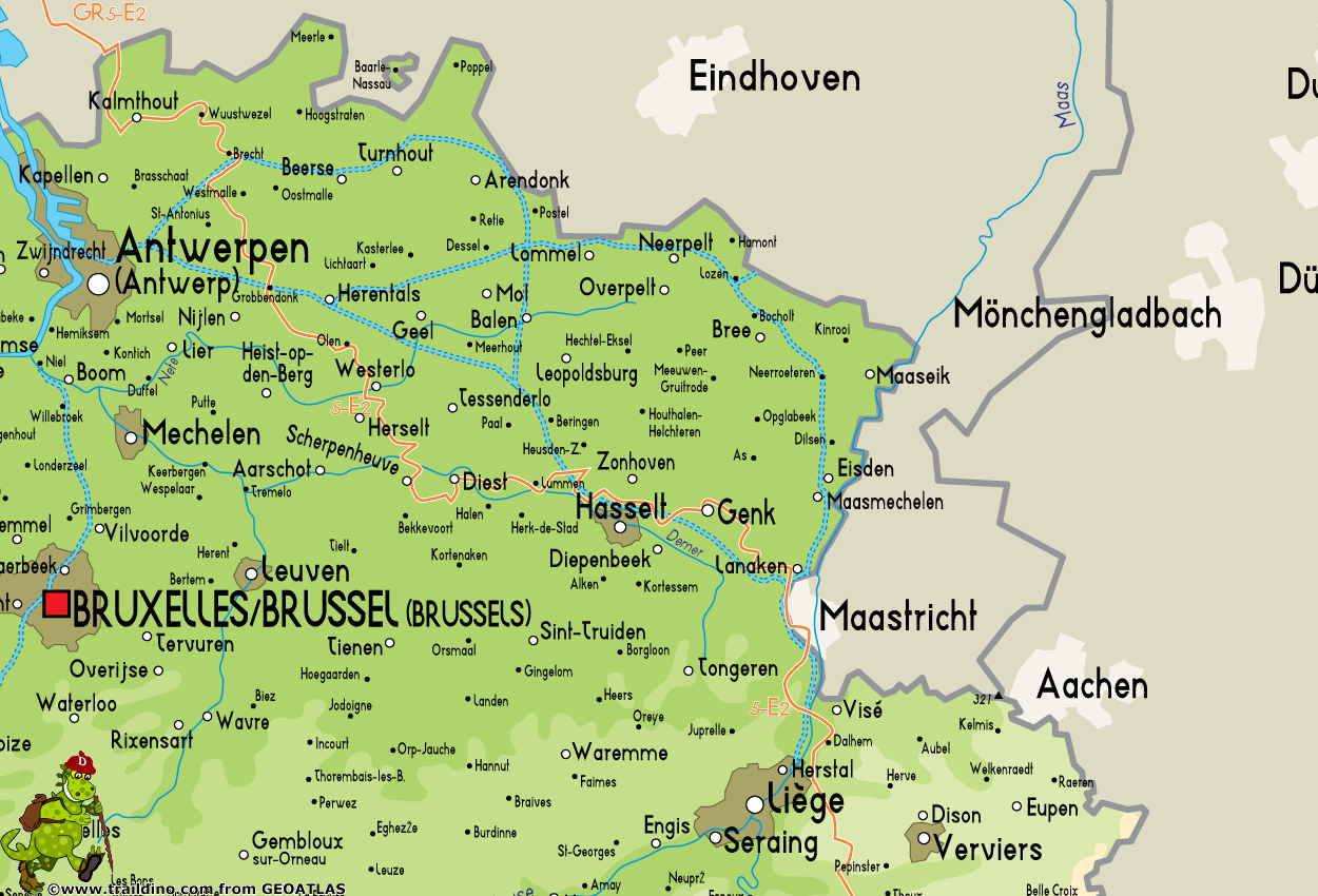
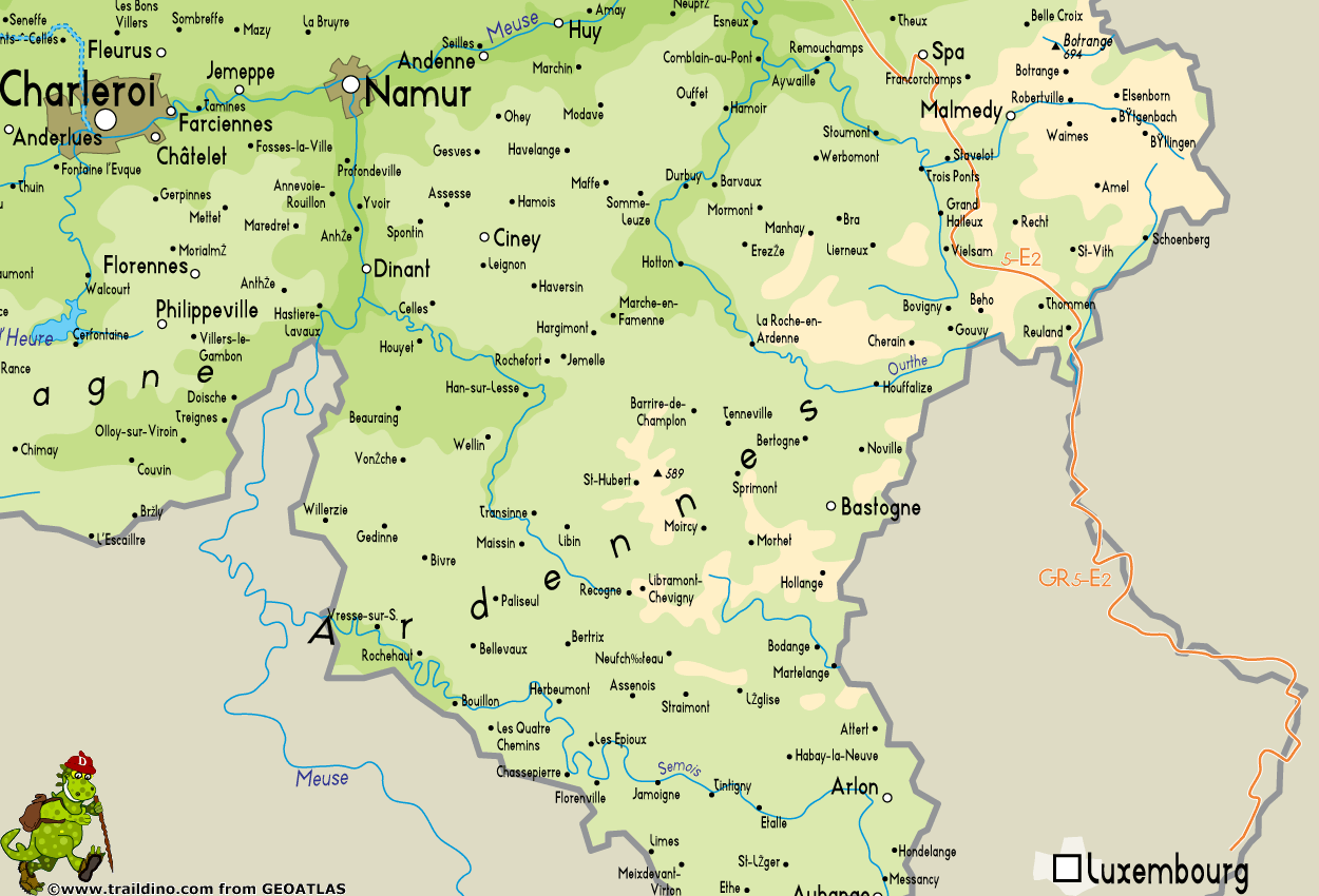
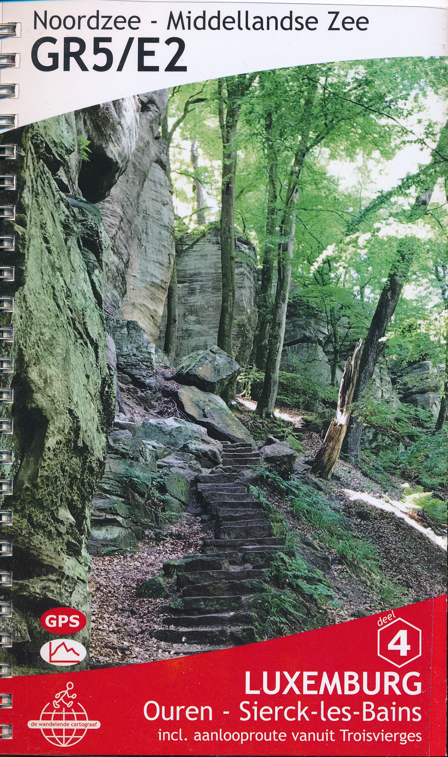
The trail starts in the Netherlands, Bergen op Zoom. Soon the path enters Flanders and its sandy grounds and typical villages. The GR5 again enters the Netherlands, the old and interesting city of Maastricht. Next is the Ardennes region of Belgium, the romantic and forested hills with its grey houses and farms. Third country is Luxembourg. The path follows the border with Germany, along the meandering river Moselle and its castles.
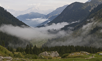
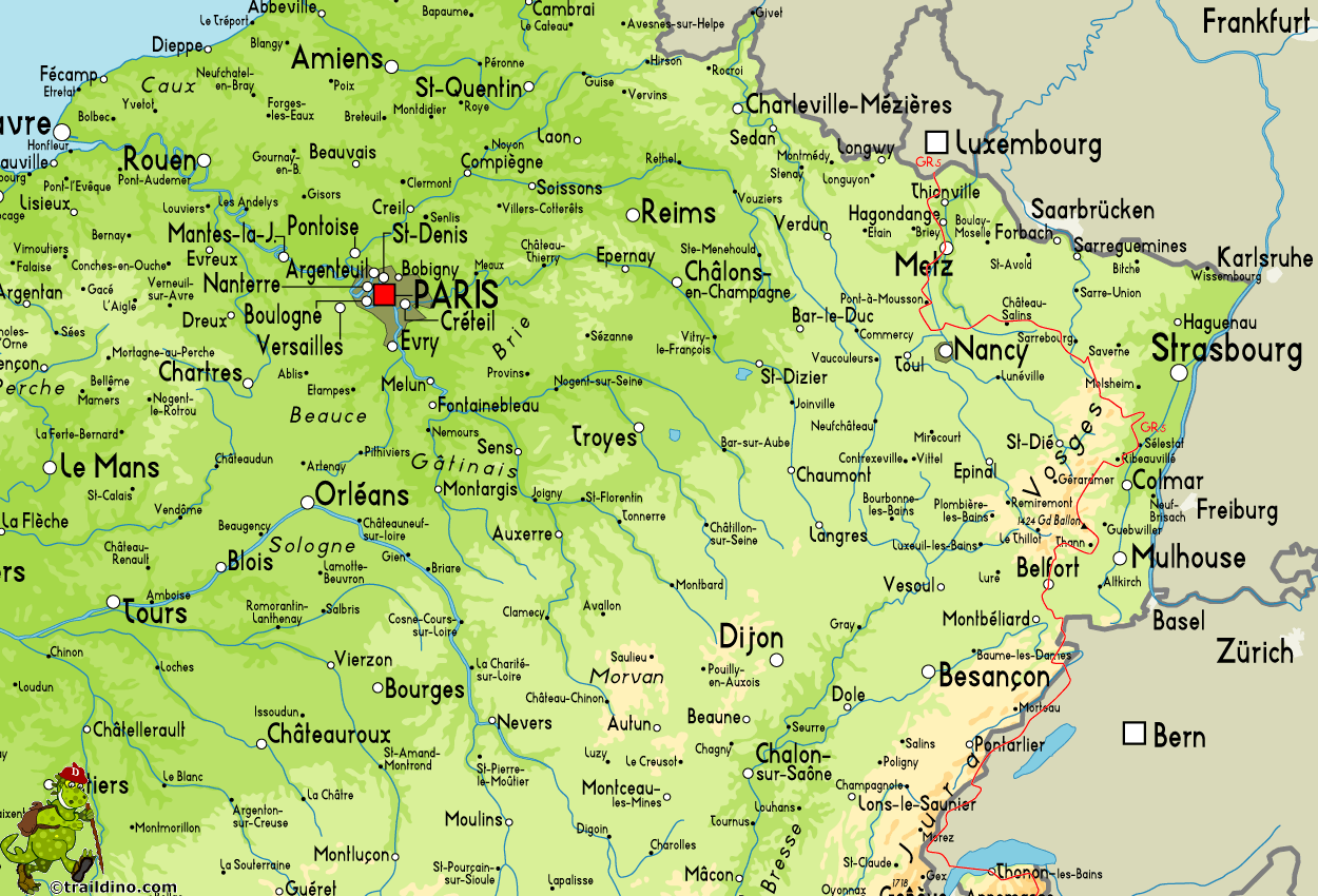
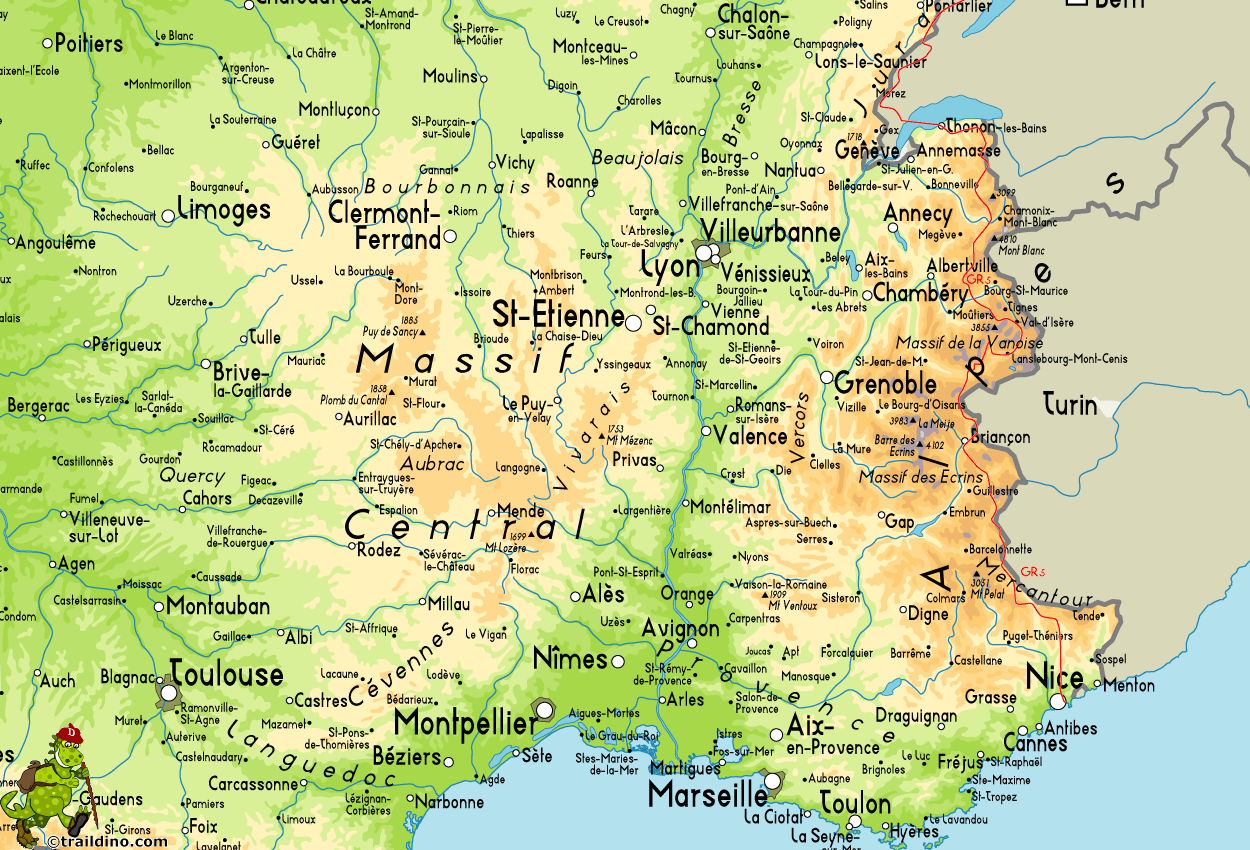
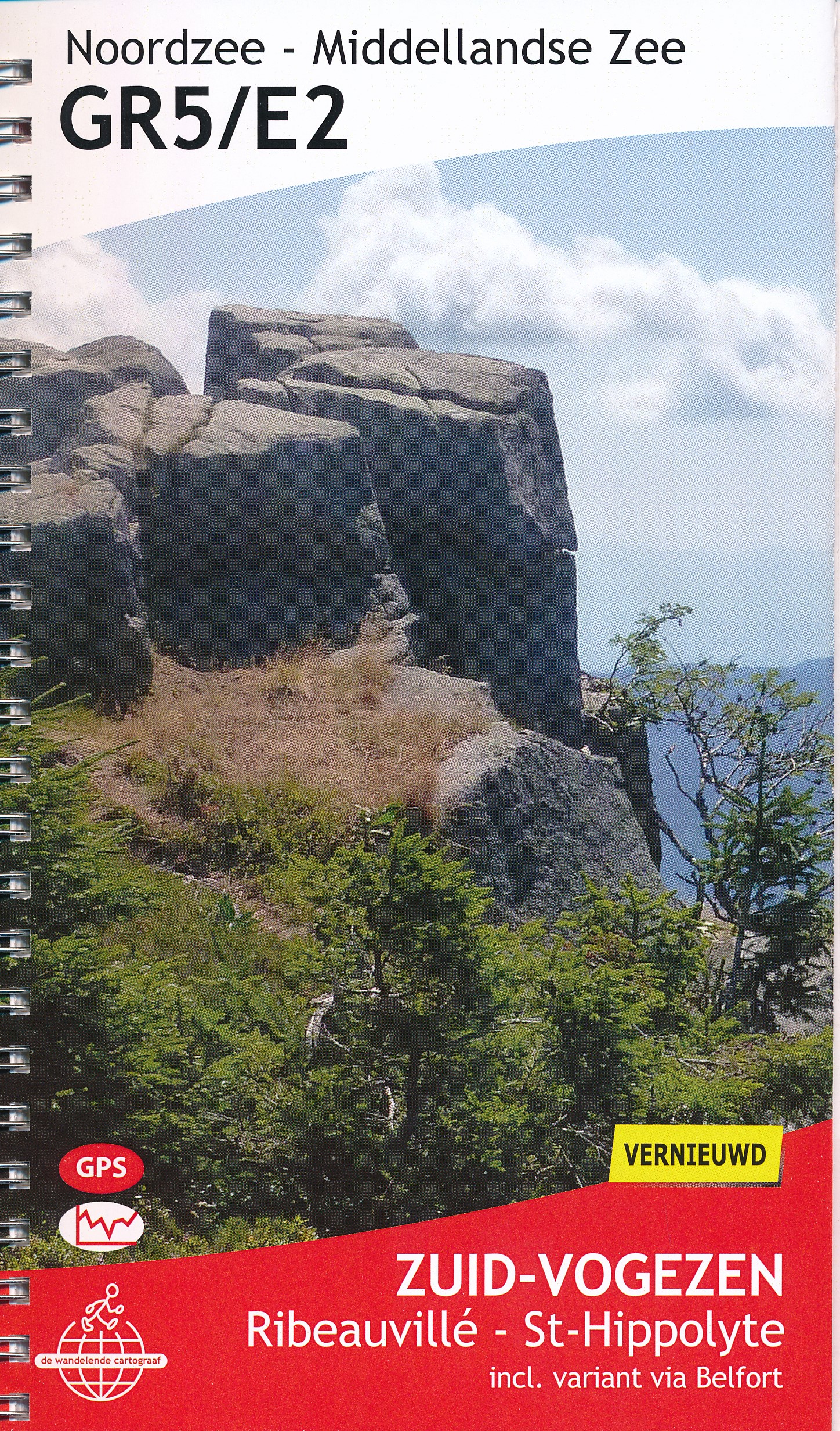
In France the GR5 explores the Vosges, then the Jura, sometimes crossing the border with Switzerland, and finally, after crossing the lake of Geneva by ferry, it follows the length of the Alps. Highlight here is the Mont Blanc. But also the Vanoise, Écrins, Queyras and Mercantour. The trail ends in Nice, good place for a refreshing bath and good meal before returning home.
Many hikers made a life experience of this hike, often returning year after year to tag another section on the record. Nowadays the pilgrimage to Saint James of Compostela is probably more popular, highlighting the spiritual needs people probably have.
Opinions

- Bjørn Forselv July 2020
- Rate 8

- Hester August 2018
- Rate 7

- dirkpieter July 1997
- Rate 8
- Positive 98 days pure walking with my best friend gerard was of my best experiences!! This 8 is because of a 9 in the french alps, an 8 in the vosges and ardennen in belgium abd a 7 in luxembourg, pays lorraine and parts if the netherlands It is special because you walk to the sea and walk through beautiful national parks!!

- Kukko June 2013
- Rate 9
- Positive Highly recommended! GR5 is most excellent Alpine crossing, from Lake Geneve to Nice and great especially for campers. All the pros and cons, detailed daily information, free camping guide and the eBook: Alone Through the Alps, can be found from my blog at: https://longdistancetrail.wordpress.com/trails/2013-gr5-the-grand-traverse-of-the-alps/
- Negative Only minor things bothered me, like the language barrier (French). Time to times I would have liked to meet more like-minded long-distance hikers.

- Ronny April 2015
- Rate 7
- Positive Mooie bosrijke wandeling met als orgelpunt de Kalmthoutse heide.

- pc22
- Rate 8
- Positive Very enjoyable mixture of landscapes.... also a very long walk ...which i tackled in two goes / sections
Map
Hike Reports

-
9-06-2016. Van de camping Lac des Brenets aan de Zwitserse kant van de Doubs naar de Gite van Les Allies. Afstand ± 35 kilometer. De 48e etappe van de GR-5
- Verslagen van mijn wandelingen. De GR5 ,Cape Wrath Trail, Kungsleden. June 2016
- Voor het fotoalbum van deze wandeling klik op de link onder aan mijn startpagina. Als ik wakker wordt is het nog vroeg, maar ik heb honger en kleed me aan. Even controleren of de kleren een beetje hebben willen drogen maar ze zijn nog klam. Dan m...


-
10-06-2016. Van de Gite van Les Allies naar de camping van Les Hôpiteaux-Neufs. Afstand ± 35 kilometer. De 49e etappe van de GR-5
- Verslagen van mijn wandelingen. De GR5 ,Cape Wrath Trail, Kungsleden. June 2016
- Voor het fotoalbum van deze wandeling klik op de link onder aan mijn startpagina. Om 06:30 gaat de wekker op mijn telefoon, en ik sta dan ook meteen op. Mijn tent en kleding is goed gedroogd, alleen mijn schoenen beginnen er enigszins slechter u...


-
11-06-2016. Van de camping van Les Hôpiteaux-Neufs naar Mouthe . Afstand ± 23,2 kilometer. De 50e etappe van de GR-5.
- Verslagen van mijn wandelingen. De GR5 ,Cape Wrath Trail, Kungsleden. June 2016
- Voor het fotoalbum van deze wandeling klik op de link onder aan mijn startpagina. Die nacht is het behoorlijk gaan regenen en ik doe die ochtend dan ook rustig aan in de hoop dat het nog even droog wordt en ik mijn spullen enigszins droog kan inp...


-
12-06-2016. Van Mouthe naar Les Rousses . Afstand ± 44 kilometer. De 51e etappe van de GR-5.
- Verslagen van mijn wandelingen. De GR5 ,Cape Wrath Trail, Kungsleden. June 2016
- Voor het fotoalbum van deze wandeling klik op de link onder aan mijn startpagina. Ik heb afgesproken dat ik om 07:30 kan ontbijten. Dus om 06:30 gaat mijn wekker, ik pak mijn rugzak in en verzorg mezelf. Uit het raam kijkend zie ik dat het zachtj...


-
13-06-2016. Van Les Rousses naar garé van Nyon. Afstand ± 28 kilometer. De 52e etappe van de GR-5.
- Verslagen van mijn wandelingen. De GR5 ,Cape Wrath Trail, Kungsleden. June 2016
- Voor het fotoalbum van deze wandeling klik op de link onder aan mijn startpagina. Mijn wekker gaat om 07:00 uur. Ik verzorg mezelf en pak al mijn spullen weer in, de tent is droog en de kleren die ik gisteren had gewassen in de wastafel en op de ...

Links
Facts
- GR 5 / E 2 (Noordzee - Rivièrapad) (Dutch)
They hiked many parts of GR5 / E2: Lumaj Hiking Blog.
- GR 5 Noordzee - Middelandse zee - Deel Vlaanderen | Route Overzicht | GR-wandelen | Grote Routepaden (Dutch)
This website describes the Belgium / Flanders part of the GR5: facts, map, GPS.
- Hike the GR5 and GR 52
Very readable collection of facts and advice, and for many GR5-veterans a happy recognition.
- GR 5 - Wikipédia (French)
- GR 5 Noordzee - Middelandse Zee - Deel Wallonië en GH Luxemburg | Route Overzicht | GR-wandelen | Grote Routepaden (Dutch)
This webpage is about the Belgium / Wallonian and Luxembourg part of the GR5: facts.
- GR5 - De Wissembourg à Nice ou Menton information pratique. (French)
French home page for the GR5 (the French part).
- GR5 - Wikipedia (Dutch)
- GR5 GR52 Sports, - by Provence Beyond
Description of the trail GR5-GR52 between Lac Léman in Switzerland with the Metinerranean coast at Menton.
- GR5 information
Somewhat older website but still useful.
- Info website GR 5 (Dutch)
Informatieve website over de GR 5
- Traversée du GR5 - Vosges - Jura - Alpes - Nom de domaine gratuit redirigé par New.fr (French)
This website focusses on the French part of the GR5.
Reports
- GR 5: Hoek van Holland - Nice [www.gr5.info] (Dutch)
Iwan Oprins finished the GR5 in 2009, and maintains a very informative website. The entire trail is photographed. Including GPS waypoints, maps, accommodation etc.
- GR53 - GR5 (French)
Rando 21 is a hiking club. Trail journal and photo album of the part of the GR5 that crosses the Jura.
- Hike the GR5 and GR 52
Website dedicated to this popular trail.
- Travelling on foot - GR5
Good report on the Alpine part of the GR5, south of Lake Geneva. Good place to find the answers you're looking for.
- www.mountain-is-good.com - ALPES - GR5 - INTRO (French)
Imagine: 56 days on trail, hiking from Wissembourg to Menton, from the Vosges to the Mediterranean. Here it is, the hike, the story, and the pictures. A happy smiling face in the end.
- 24 uur GR5 (Dutch)
De GR5 in Belgium can be done in 24 hours.
- AlpsTrek
Account and many pictures of the entire trek from Lac Léman to the Mediterranean along the GR5.
- Ardennen (Dutch)
Trail diary covering the GR5 from the Dutch border to the French border.
- Bergwandelen in de Jura (Dutch)
The Jura part of the trail. Some nice panoramas.
- Bloed, zweet & blaren (Dutch)
Bert de Wit and Eelco van Dijk hiked parts of the GR5 and are still heading for Nice.
- de GR 5 .... een eindeloos pad (Dutch)
Hiking diary by Carol Bastings, starting in Maastricht, finishing in ...
- De Larche à Menton, sur les GR 5 et 52 (French)
Southern part of GR5 combined with the GR52 to the coast of the Mediterranean. Diary, map, pictures.
- De Modane à Landry, sur le GR 5 (French)
Fine trip report, of the Vanoise part of the GR5: between Modane and Landry, walking north.
- De Wandel Website van Fred Triep- Startpagina van wandelen in Europa (Dutch)
This page is about hiking in Europe.
- Fire and water - Part 1, GR5 Hiking through marl-country - from Maastricht to Kanne
Report of some of the GR5 around the Dutch-Belgian border.
- Foto album etappe 49 (Dutch)
10-06-2016. Van de Gite van Les Allies naar de camping van Les Hôpiteaux-Neufs. Afstand ± 35 kilometer. De 49e etappe van de GR-5
- Foto album etappe 50 (Dutch)
11-06-2016. Van de camping van Les Hôpiteaux-Neufs naar Mouthe . Afstand ± 23,2 kilometer. De 50e etappe van de GR-5.
- France | Ton de Maagt
Several parts of the GR5 are described on the page of Ton de Maagt.
- GR 5 Vogezen (Dutch)
Hiking op de GR 5 in Vogezen tussen Le Bonhomme en Le Grand Ballon. Hohneck, Le Grand Ballon, Sentier des Roches,...
- GR 5 Vogezen (Dutch)
Deel van de GR 5 in de Vogezen
- gr5 (Dutch)
Photo album of the entire trail.
- GR5 (Dutch)
Wim the Haan hiked from Maastricht to Nice. Here his detailed account with pictures.
- GR5 (Dutch)
Blog-style website website with many photo galleries (this makes hiking in Europe great fun). The authors only hiked a small part of the GR5 yet.
- GR5 - Arthur en Mic op weg naar Nice (Dutch)
Most people start in Maastricht and forget about the first part of the GR5. Arthur and Mic started at the very beginning, but no sign of Nice yet.
- GR5 - Jan Flokstra - Overzicht (Dutch)
Account of the hike from Maastricht to Nice.
- GR5 - The Grand Traverse of the Alps
FREE GR5 camping guide, detailed and vivid eBook: Alone Through the Alps. Daily reports, awesome photos, videos and useful information about hiking the Alpine part of the GR5, from lake Geneva to Nice
- GR5 : Briançon -> Nice (du 5 juillet au 18 juillet 2004) (French)
Huge picture album, the stretch between Grenoble and Nice, the Alps.
- GR5 de Larche à Menton (French)
Report of a trip in the French part of the GR5.
- GR5 Hoek van Holland Nice - part I (Dutch)
The "Pilgrim Boppers" leave their track. This is part one of the GR5. starting from Hoek van Holland.
- GR5 Hoek van Holland Nice - part II (Dutch)
And this is part II of the "Pilgrim Boppers" account.
- gr5 Photo Gallery by Hans Wortel at pbase.com (Dutch)
- GR5 stappen van Brussel manneken pis tot nice (Dutch)
This hiker started in Brussels, "manneken pies" (the peeing little man).
- GR5 van Brussel (manneke-pis) naar nice (Dutch)
Photo album.
- GR5-E2 - Maastricht to Nice: Our Story part 1
Concise description of the GR5. "It took us two and a half month".
- GR5: Verslag en foto's Ardennen, Vogezen, Jura en Alpen (Dutch)
Trail diary. Note: click on the little triangle enter the website.
- Hiking the GR5
Reportsa of some of the French sections of the GR5 trail.
- Hiking the Vosges: Colmar-Thann (GR5/GR531/GR532)
Short piece of the trail in the Vosges.
- Home page van Linda Oskam (Dutch)
Linda Oskam names this "her greatest project". She is halfway now.
- LA Crête des Vosges de Ribeauvillé à Thann (French)
Fred and Nat trekking on the GR5 (Crête des Vosges) with their tent.
- Le GR5, de Larche à Modane (French)
Report of the traject between Larche and Modane (Vanoise and Queyras). Map, dairy, pictures.
- Marc S. Pelzer hiking GR5 and GR52 (German)
Short report of a hike along the GR5 and GR52, from Modane to Menton, with pictures and links to GPS map.
- Nathalie Penders'Hiking Page
Nathalie Penders put her story of several long distance hikes - GR5, GR10, GR20, C2C - online.
- Santiago Route | Ton de Maagt
Ton de Maagt's hike from Netherlands to Santiago, partly using GR5 / E2.
- Track Notes Part 1: GR5 in France @ Backpacking Light
Starting from Thonon, these guys hiked the GR5 south to Nice. They will give you some clues on how France works...
- Wandel homepage van Vincent en Jeannette. (Dutch)
All the way from Hoek van Holland to Nice!
- Webklik.nl - GR5 onze ervaringen en tips (Dutch)
Suzanne Middeljans started in Maastricht on March 29 of 2004 and finished in Nice on June the 27th of 2009.
- GR5 (Dutch)
On their way from the North Sea to Nice ... currently somewhere in the Jura.
- http://www.voshaart.nl/wandelen.htm (Dutch)
Pretty tough hikers. Alltogether 2313 km from the north of the Netherlands to Nice.
Guides and maps
Lodging
Organisations
Tour operators
GPS
- GR5 / E2 - DE HOEK VAN HOLLAND A NIZA (Spanish)
El GR 5 es uno de los grandes senderos de larga distancia europeos. Comienza en el Mar del Norte (Hoek van Holland) y finaliza a las orillas del Mar Mediterráneo, en Niza (Francia). 2200 Km.
Other
- A. Foto album etappe 1. (Dutch)
29-12-2012. Station Maastricht Centrum naar station Visé. Afstand ± 27 kilometer. De 1-ste etappe van de GR-5.
- A. Foto album etappe 2. (Dutch)
12-01-2013. Station Vise naar station Fraipont. Afstand ± 34 kilometer. De 2-de etappe van de GR-5.
- A. Foto album etappe 4. (Dutch)
22-04-2013. Station Spa naar station Vielsalm. Afstand ± 33 kilometer. De 4-de etappe van de GR-5.
- A. Foto album etappe 5. (Dutch)
01-07-2013. Station Vielsalm naar Ouren. Afstand ± 37 kilometer. De 5-de etappe van de GR-5.
- A. Foto album etappe 6. (Dutch)
2-7-2013 van Lutzkampen naar Obereisenbach. Afstand ± 23 kilometer. De 6-de etappe van de GR-5.
- A. Foto album etappe 7. (Dutch)
03-07-2013. Van naar Obereisenbach naar Gilsdorf. Afstand ± 36 kilometer. De 7-de etappe van de GR-5.
- A. Foto album etappe 8. (Dutch)
04-07-2013. Van naar Gilsdorf naar Steinheim. Afstand ± 41 kilometer. De 8-de etappe van de GR-5.
- A. Foto album etappe 9. (Dutch)
05-07-2013. Van naar Steinheim naar Wasserbillig. Afstand ± 21 kilometer. De 9-de etappe van de GR-5.
- Foto album etappe 10. (Dutch)
22-10-2013. Van Wasserbillig naar Ehnen. Afstand ± 27,8 kilometer. De 10-de etappe van de GR-5.
- Foto album etappe 11. (Dutch)
23-10-2013. Van Ehnen naar Frisange. Afstand ± 40.1 ( plus 6 extra) kilometer. De 11-de etappe van de GR-5.
- Foto album etappe 12. (Dutch)
24-10-2013. Van Frisange naar Knutange. Afstand ± 45.5 kilometer. De 12-de etappe van de GR-5.
- Foto album etappe 13. (Dutch)
25-10-2013. Van Knutange naar Quaraille. Afstand ± 38 kilometer. De 13-de etappe van de GR-5.
- Foto album etappe 14. (Dutch)
26-10-2013. Van Quaraille naar Ars-sur-Moselle. Afstand ± 25 kilometer. De 14-de etappe van de GR-5.
- Foto album etappe 15. (Dutch)
27-10-2013. Van Ars-sur-Moselle naar Pagny-sur-Moselle. Afstand ± 26 ( plus 4 ) kilometer. De 15-de etappe van de GR-5.
- Foto album etappe 16. (Dutch)
28-10-2013. Van Pagny-sur-Moselle naar Pont-a-Mousson. Afstand ± 26 kilometer. De 16-de etappe van de GR-5.
- Foto album etappe 17. (Dutch)
29-10-2013. Van Pont-a-Mousson naar Pompey. Afstand ± 43 kilometer. De 17-de etappe van de GR-5.
- Foto album etappe 18. (Dutch)
31-03-2014. Van Station Genk naar Sint Pietersberg Maastricht. Afstand ± 39,1 kilometer. De 18-de etappe van de GR-5.
- Foto album etappe 19. (Dutch)
14-04-2014. Van de kerk in Viversel naar Station Genk.( met de variant om Hasselt heen) Afstand ± 39,5 kilometer. De 19 etappe van de GR-5.
- Foto album etappe 20. (Dutch)
22-05-2014. Van Pompey naar Vic-sur-Seille. Afstand ± 40 kilometer. De 20-de etappe van de GR-5.
- Foto album etappe 21. (Dutch)
23-05-2014. Van Vic-sur-Seille naar Niderhoff. Afstand ± 54 kilometer. De 21-de etappe van de GR-5.
- Foto album etappe 22. (Dutch)
24-05-2014. Van Niderhoff naar Col du Donon. Afstand ± 36 kilometer. De 22-de etappe van de GR-5.
- Foto album etappe 23. (Dutch)
14-05-2015. Van Schirmeck naar Le Howald. Afstand ± 23 kilometer. De 23-de etappe van de GR-5.
- Foto album etappe 24. (Dutch)
15-05-2015. Van Le Howald naar Chatenois. Afstand ± 48 kilometer. De 24-de etappe van de GR-5.
- Foto album etappe 25. (Dutch)
16-05-2015. Van Chatenois naar Ribeauville. Afstand ± 29 kilometer. De 25-de etappe van de GR-5.
- Foto album etappe 26. (Dutch)
19-07-2015. Van Ribeauville naar Aubure. Afstand ± 12 kilometer. ( met aansluitend een rondwandeling om terug te keren naar Ribeauville van 16 kilometer) De 26-de etappe van de GR-5.
- Foto album etappe 27. (Dutch)
20-07-2015. Van Aubure naar Col du Calvaire du Lac Blanc. Afstand ± 24 kilometer. ( met aansluitend nog bijna 5 Km tot de Refuge du Val dÓrbey) De 27-de etappe van de GR-5.
- Foto album etappe 28. (Dutch)
21-07-2015. Van Col du Calvaire du Lac Blanc naar Mittlach. Afstand ± 24 kilometer. ( met alternatieve aanloop vanuit Refuge du Val d’Orbey) De 28-de etappe van de GR-5.
- Foto album etappe 29. (Dutch)
23-07-2015. Van Mittlach naar Chalet Hotel Grand-Ballon. Afstand ± 29 kilometer. ( met alternatieve aanloop vanuit Camping Municipal Langenwasen) De 29-de etappe van de GR-5.
- Foto album etappe 30. (Dutch)
24-07-2015. Van Chalet Hotel Grand-Ballon naar Thann. Afstand ± 22 kilometer. ( met vanaf hier een verplaatsing per trein naar Cernay, Camping les Cicognes) De 30-de etappe van de GR-5.
- Foto album etappe 31. (Dutch)
26-07-2015. Thann naar ferme Rouge Ballon. Afstand ± 22 kilometer. ( met eerst een verplaatsing per trein Cernay naar Thann) De 31-de etappe van de GR-5.
- Foto album etappe 32. (Dutch)
27-07-2015. Van ferme Rouge Ballon naar Giromagny. Afstand ± 26 kilometer. De 32-de etappe van de GR-5.
- Foto album etappe 33. (Dutch)
29-07-2015. Van Giromagny naar Brévelliers. Afstand ± 33 kilometer. De 33-de etappe van de GR-5.
- Foto album etappe 34. (Dutch)
30-07-2015. Van Brévilliers naar Vandoncourt. Afstand ± 26 kilometer. De 34-de etappe van de GR-5.
- Foto album etappe 35. (Dutch)
31-07-2015. Van Vandoncourt naar Saint Hippolyte . Afstand ± 27 kilometer. De 35-de etappe van de GR-5.
- Foto album etappe 36. (Dutch)
27-08-2015. Van station Bouwel naar camping de Vijvers in Averbode. Afstand ± 38 kilometer. De 36 etappe van de GR-5.
- Foto album etappe 37. (Dutch)
28-08-2015. Van camping “De Vijvers “ bij Averbode naar Viversel. Afstand ± 44 kilometer. De 37 etappe van de GR-5.
- Foto album etappe 38. (Dutch)
11-10-2015. Van station Bergen op Zoom naar station Kijkuit. Afstand ± 32 kilometer. De 38 etappe van de GR-5.
- Foto album etappe 39. (Dutch)
14-11-2015. Van station Kijkuit bij Kalmthout naar Station Noorderkempen bij Brecht België . Afstand ± 25,1 kilometer. De 39 etappe van de GR-5.
- Foto album etappe 40. (Dutch)
06-12-2015. Van station Noorderkempen bij Brecht België naar station Bouwel . Afstand ± 38,1 kilometer. De 40 etappe van de GR-5.
- Foto album etappe 41. (Dutch)
13-12-2015. Van station Hoek van Holland Haven naar station Maasluis . Afstand ± 22 kilometer. De 41e etappe van de GR-5.
- Foto album etappe 42. (Dutch)
20-04-2016. Van station Maassluis naar camping de Houten Paardjes net buiten Rockanje . Afstand ± 34,05 kilometer. De 42e etappe van de GR-5.
- Foto album etappe 43. (Dutch)
21-04-2016. Van camping de Houten Paardjes net buiten Rockanje naar camping Johanna Hoeve bij Herkingen . Afstand ± 27,2 kilometer. De 43e etappe van de GR-5.
- Foto album etappe 44. (Dutch)
22-04-2016. Van camping Johanna Hoeve bij Herkingen naar camping Mattenburg bij Nieuw-Vossemeer . Afstand ± 32,1 kilometer. De 44e etappe van de GR-5.
- Foto album etappe 45. (Dutch)
23-04-2016. Van camping Mattenburg bij Nieuw-Vossemeer naar station Bergen op Zoom . Afstand ± 20 kilometer. De 45e etappe van de GR-5.
- Foto album etappe 46 (Dutch)
7-06-2016. Van camping Municipal in Saint Hippolyte naar de Abri La Charbonniere-du-haut . Afstand ± 37,2 kilometer. De 46e etappe van de GR-5.
- Foto album etappe 48 (Dutch)
9-06-2016. Van de camping Lac des Brenets aan de Zwitserse kant van de Doubs naar de Gite van Les Allies. Afstand ± 35 kilometer. De 48e etappe van de GR-5
- Foto album etappe 51 (Dutch)
12-06-2016. Van Mouthe naar Les Rousses . Afstand ± 44 kilometer. De 51e etappe van de GR-5.
- Foto album etappe 52 (Dutch)
13-06-2016. Van Les Rousses naar garé van Nyon. Afstand ± 28 kilometer. De 52e etappe van de GR-5.
Books

United Kingdom
2014
- Tours et traversees dans l'Ain GR59/GR9 2014
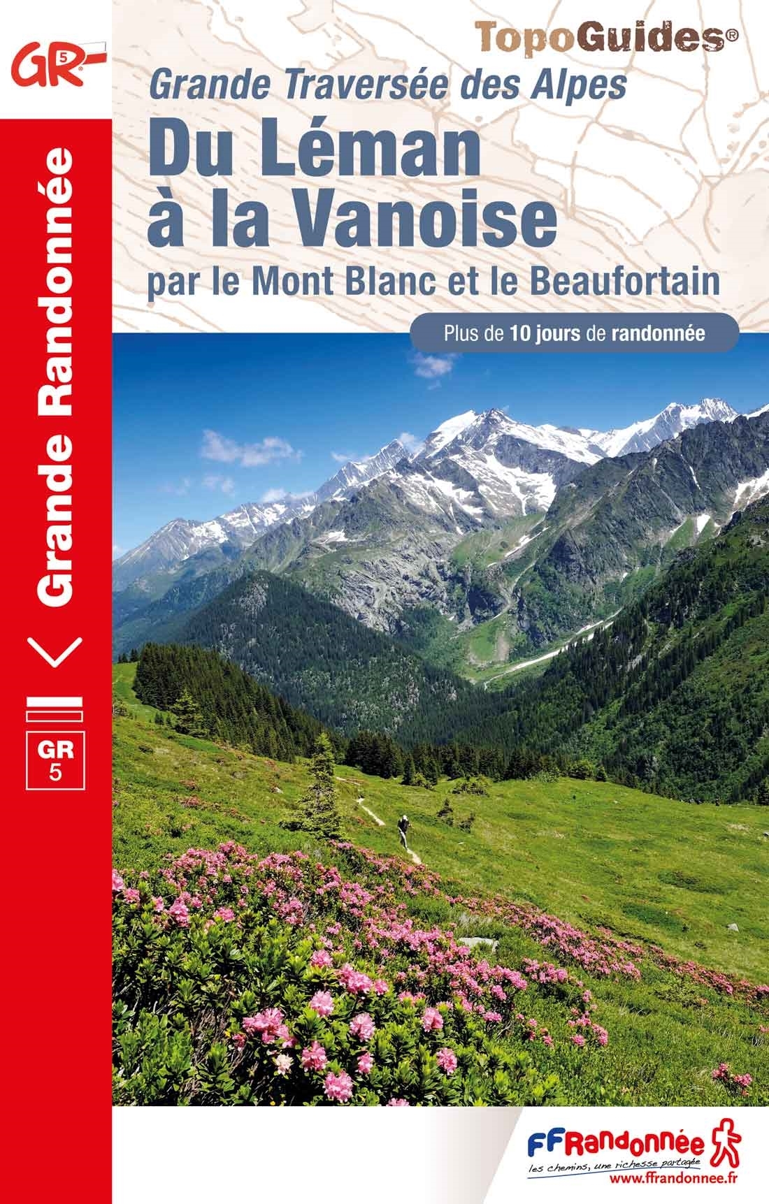
- Guide FFRandonnée Tours et Traversée dans l'ain. GR 59, 9, 9A. Etangs de la Dombes, monts et cluses du Revermont ou bocages de la Bresse. Plus de 50 jours de randonnée.Depuis les Monts du Jura, du Revermont ou du Bugey, ces itinéraires en boucle ou en ligne offrent aux randonneurs des vues imprenables. voici à l'est le Mont Blanc et les... Read more
- Also available from:
- Stanfords, United Kingdom
- De Zwerver, Netherlands

United Kingdom
2014
- GR59/GR9/GRP: Tours et Traversées de l`Ain FFRP Topo-guide No. 901
- Tours et Traversées de l`Ain, FFRP topoguide, Ref. No. 901, covering in all 949km of hiking trails in the French Jura between Lons-le-Saunier and the confluence of the Ain and the Rhône, including sections of GR 5, 9 and 9A. Current edition of this title was published in June 2014.ABOUT THE FFRP (Fédération française de la randonnée pédestre)... Read more

Netherlands
2014
- Wandelgids 901 Tours et traversées dans l'Ain GR9 | FFRP
- Guide FFRandonnée Tours et Traversée dans l'ain. GR 59, 9, 9A. Etangs de la Dombes, monts et cluses du Revermont ou bocages de la Bresse. Plus de 50 jours de randonnée.Depuis les Monts du Jura, du Revermont ou du Bugey, ces itinéraires en boucle ou en ligne offrent aux randonneurs des vues imprenables. voici à l'est le Mont Blanc et les... Read more

United Kingdom
2018
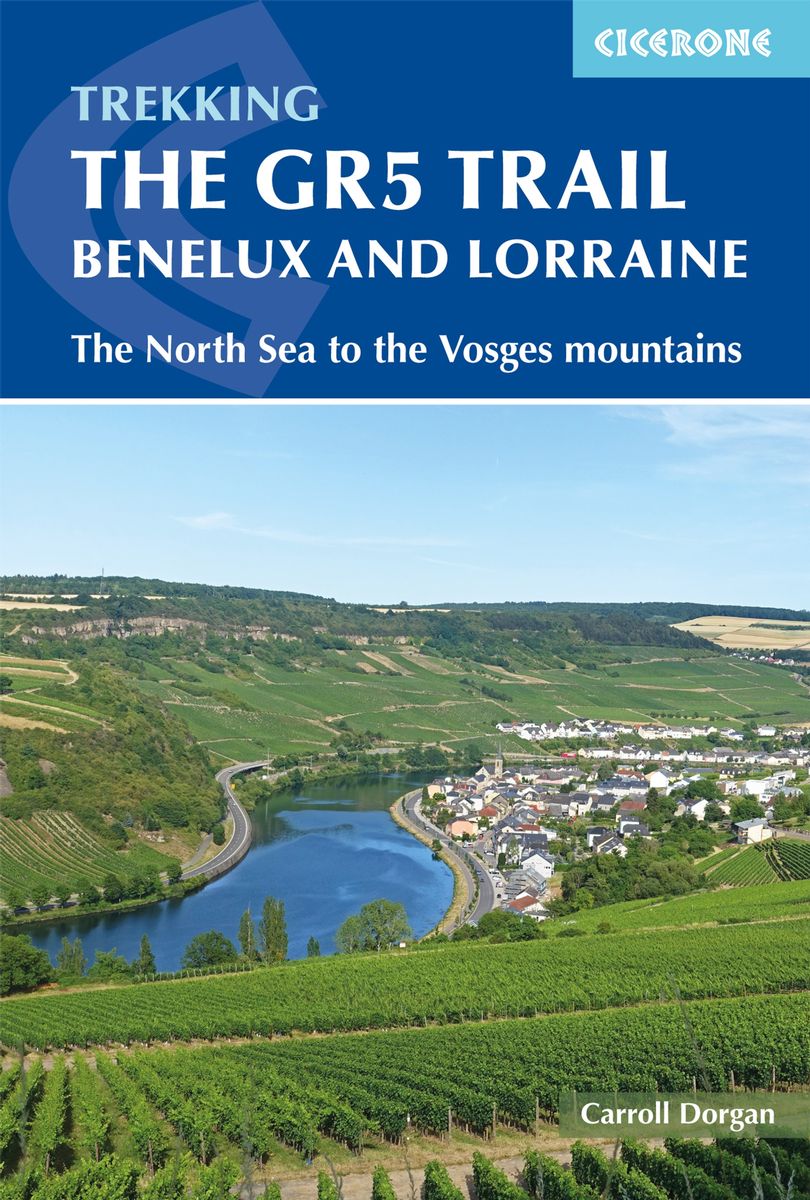
- The GR5 Trail - Benelux and Lorraine
- The North Sea to Schirmeck in the Vosges mountains Read more
- Also available from:
- De Zwerver, Netherlands

Netherlands
2018
- Wandelgids The GR5 Trail Benelux and Lorraine | Cicerone
- Guidebook to walking the northern section of the GR5 - 1000km starting in Hoek van Holland and passing through the Netherlands, Belgium, Luxembourg and Lorraine to Schirmeck in France. A long-distance route covering a variety of cultures and landscapes. The full GR5 from the North Sea to the Mediterranean is one of the world's greatest trails. Read more

Netherlands
2017
- Wandelgids Huttentochten - Hüttentrekking Westalpen Frankreich - Italien | Rother Bergverlag
- Wild und urtümlich, so präsentiert sich das westliche Drittel des Alpenbogens. Viele Ortschaften dort sind stark von Abwanderung betroffen, sodass man nicht selten auf Geisterdörfer trifft, in denen nur noch ein paar Alte leben. Weitwanderrouten wie der GR 5 und die GTA, die Grande Traversata delle Alpi, spannende Höhenwege über aussichtsreiche... Read more

United Kingdom
2019
- La Traversée des Alpes de la Maurienne a l`Ubaye GR5/GR56
- 9 days from Modane to Larche by the GR5, as much for the tour of Ubaye.Grande Traversée des Alpes: de la Maurienne a l`Ubaye, FFRP topoguide Ref. No. 531, covering the third stage of the GR5 in the French Alps from Modane to Larche, plus the Tour de l`Ubaye at its southern end, in all 272km for hiking routes. Current edition of this title was... Read more
- Also available from:
- De Zwerver, Netherlands

United Kingdom
2016
- The GR5 Trail
- Through the French Alps from Lake Geneva to Nice Read more
- Also available from:
- Bol.com, Netherlands
- Bol.com, Belgium
- De Zwerver, Netherlands

Netherlands
2016
- The GR5 trail
- The GR5 is one of the world's most spectacular long-distance trails. This guide describes the route from the shores of Lac L man (lake Geneva) over the Alps and down to the trail's finish at Nice. Interesting variant routes include the stunning GR55 through the Vanoise National Park and the GR52, which crosses the Mercantour National Park to... Read more

Belgium
2016
- The GR5 trail
- The GR5 is one of the world's most spectacular long-distance trails. This guide describes the route from the shores of Lac L man (lake Geneva) over the Alps and down to the trail's finish at Nice. Interesting variant routes include the stunning GR55 through the Vanoise National Park and the GR52, which crosses the Mercantour National Park to... Read more

Netherlands
2016
- Wandelgids The GR5 Trail - The Alps | Cicerone
- An essential guidebook for walking the GR5 trail, 660km from Lac Leman (Lake Geneva) to Nice or Menton, through the French Alps. Includes all the main variant routes as it passes Mont Blanc, then through the Vanoise, the Queyras and the Mercantour National Parks. Includes accommodation, profiles and maps. Suitable for fairly experienced hikers. Read more

United Kingdom
2019
- La Grande Traversee du Jura GR5/GR9/GTJ
- La Grande Travesée du Jura, FFRP topoguide Ref. no. 512, covering the GTJ along the Jura Mountains in France from Nommay to Culoz, plus several variants off the main route including parts of the GR5 and GR9 – in all 509kms of hiking trails. Current edition of this title was published in March 2017.The GR509 offers hikers a path punctuated by... Read more
- Also available from:
- De Zwerver, Netherlands

United Kingdom
2020
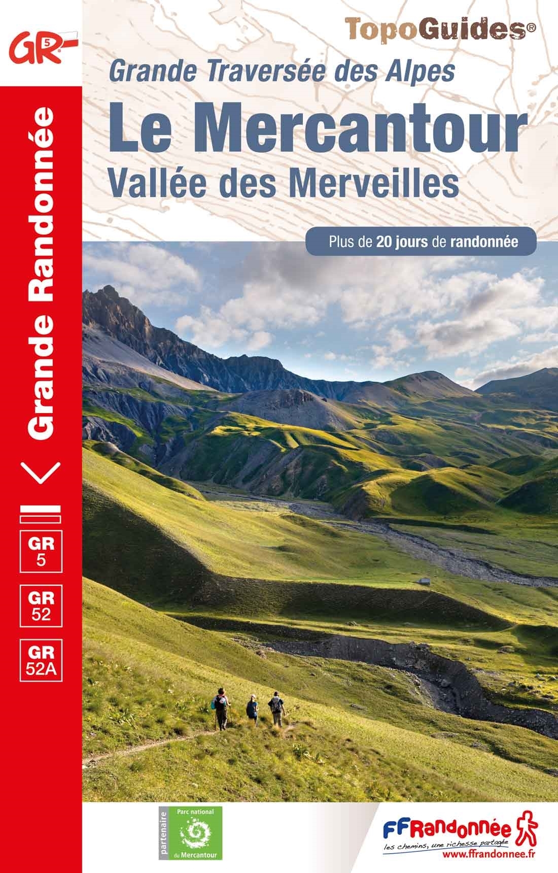
- Le Mercantour - Vallee des Merveilles GR5/GR52/52A
- Le Mercantour: Larche – Nice/Menton, Vallée des Merveilles, FFRP topoguide Ref. No. 507, covering 450km of long-distance routes: the last section of the GR5 in the French Alps from Larche to Nice, an alternative variant off GR5 along the GR52 leading via the Vallée des Merveilles to Menton, plus GR52A – Panoramique du Mecantour from Col du... Read more
- Also available from:
- De Zwerver, Netherlands

United Kingdom
2017
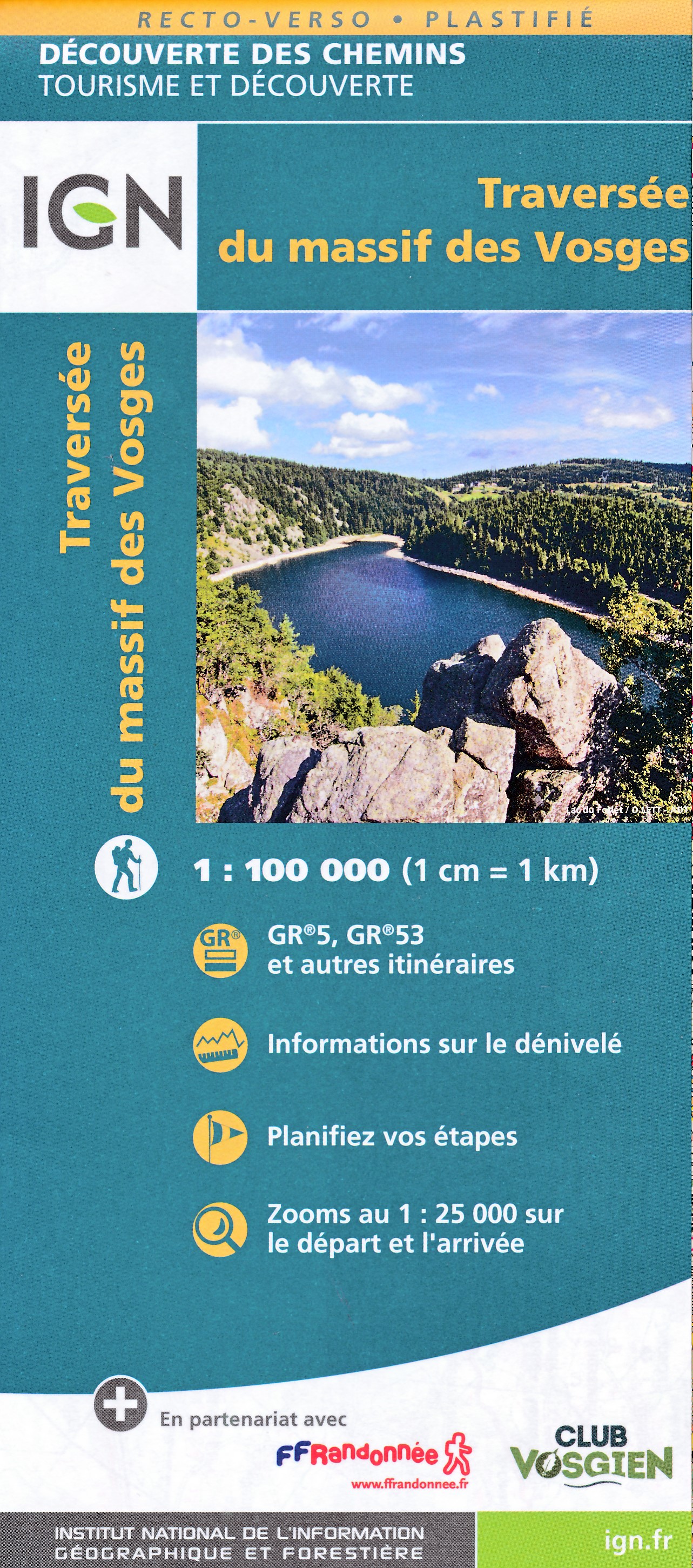
- The GR5 Trail - Vosges and Jura
- Schirmeck to Lac Leman, and the GR53 Read more
- Also available from:
- Bol.com, Netherlands
- Bol.com, Belgium
- De Zwerver, Netherlands

Netherlands
2017
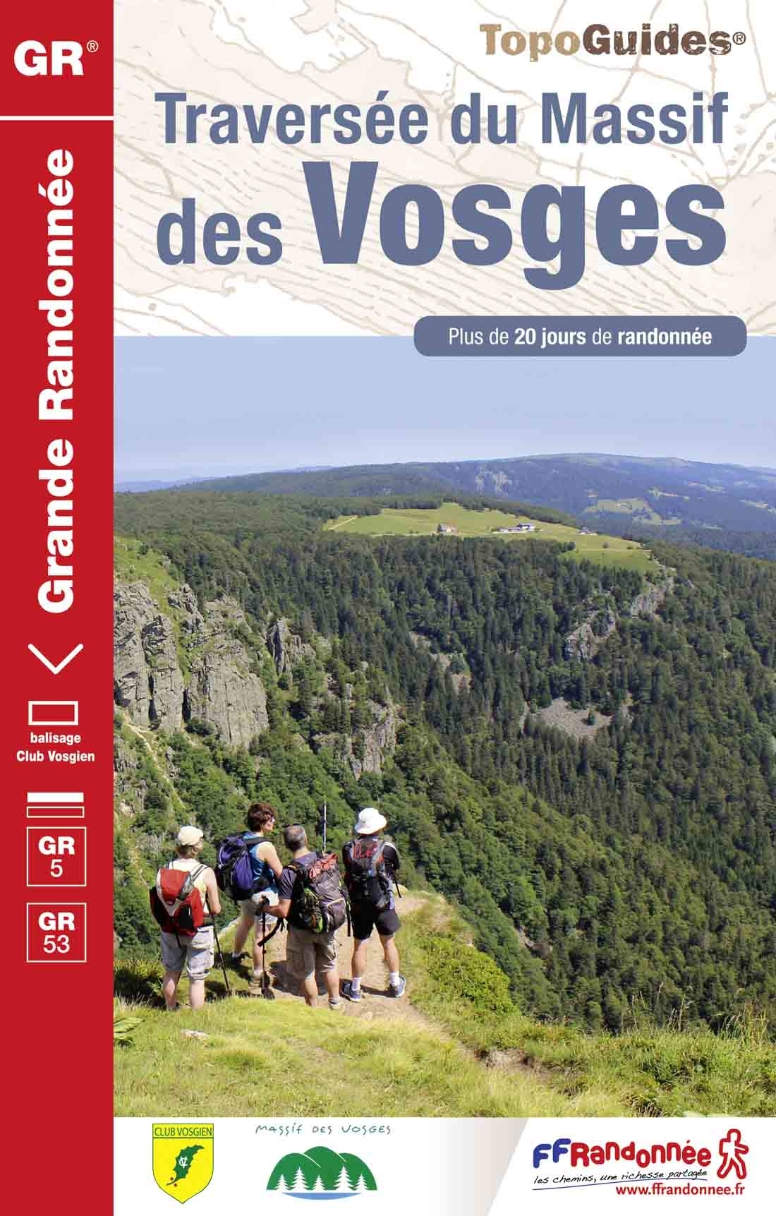
- The GR5 trail - Vosges and Jura
- The tranquil Vosges and Jura enjoy rolling hills with far-reaching views, ruined castles, enchanting wine-making villages, forests and spectacular gorges. The GR5/GR53 provides an interesting waymarked route, starting on the GR53 from the quiet hills of the Northern Vosges, and continuing through Alsace, then the Doubs Gorge, up onto the Jura... Read more

Belgium
2017
- The GR5 trail - Vosges and Jura
- The tranquil Vosges and Jura enjoy rolling hills with far-reaching views, ruined castles, enchanting wine-making villages, forests and spectacular gorges. The GR5/GR53 provides an interesting waymarked route, starting on the GR53 from the quiet hills of the Northern Vosges, and continuing through Alsace, then the Doubs Gorge, up onto the Jura... Read more

Netherlands
2017
- Wandelgids The GR5 Trail Vosges and Jura | Cicerone
- Guidebook to a 687km (427 mile) trek through eastern France, traversing the Vosges and the Haut-Jura plateau. The route follows the GR53 from Wissembourg to Schirmeck, before picking up the central section of the GR5 from Schirmeck to Nyon on Lake Geneva, taking in wooded and grassy hills, river gorges and fascinating castle ruins. Read more

United Kingdom
2020
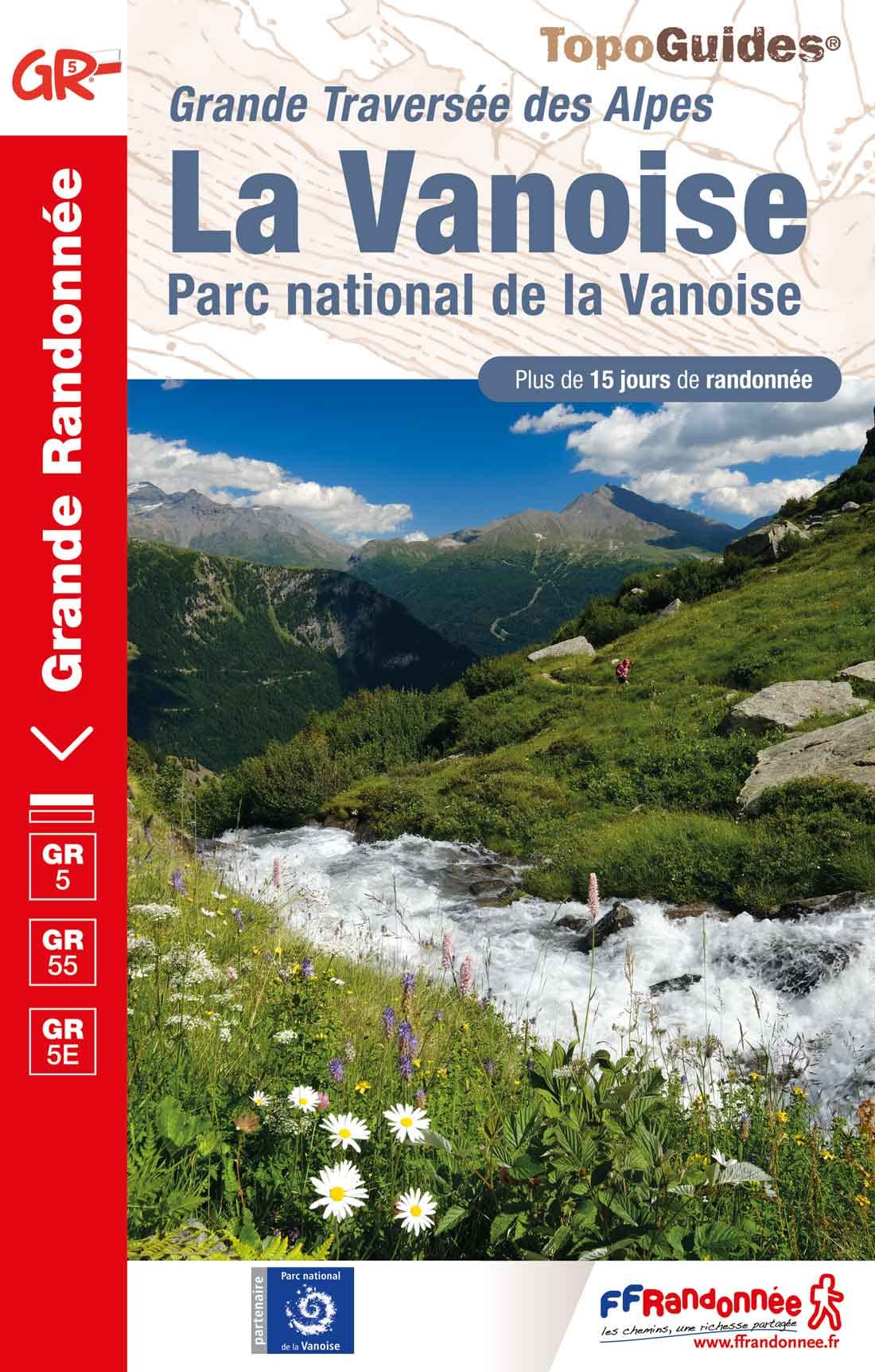
- La Traversee der Alpes La Vanoise - PN de la Vanoise GR5/GR55
- 15 days in altitude from the Tarentaise to Modane, heart of the Maurienne. Description also of Via Alpina.La Vanoise (including Parc National de la Vanoise), FFRP topoguide Ref. no. 530, covering the second section of the GR5 in the French Alps between Landry and Modane, its lower variant on the GR5E along the river Arc, plus the traverse of... Read more
- Also available from:
- De Zwerver, Netherlands

Netherlands
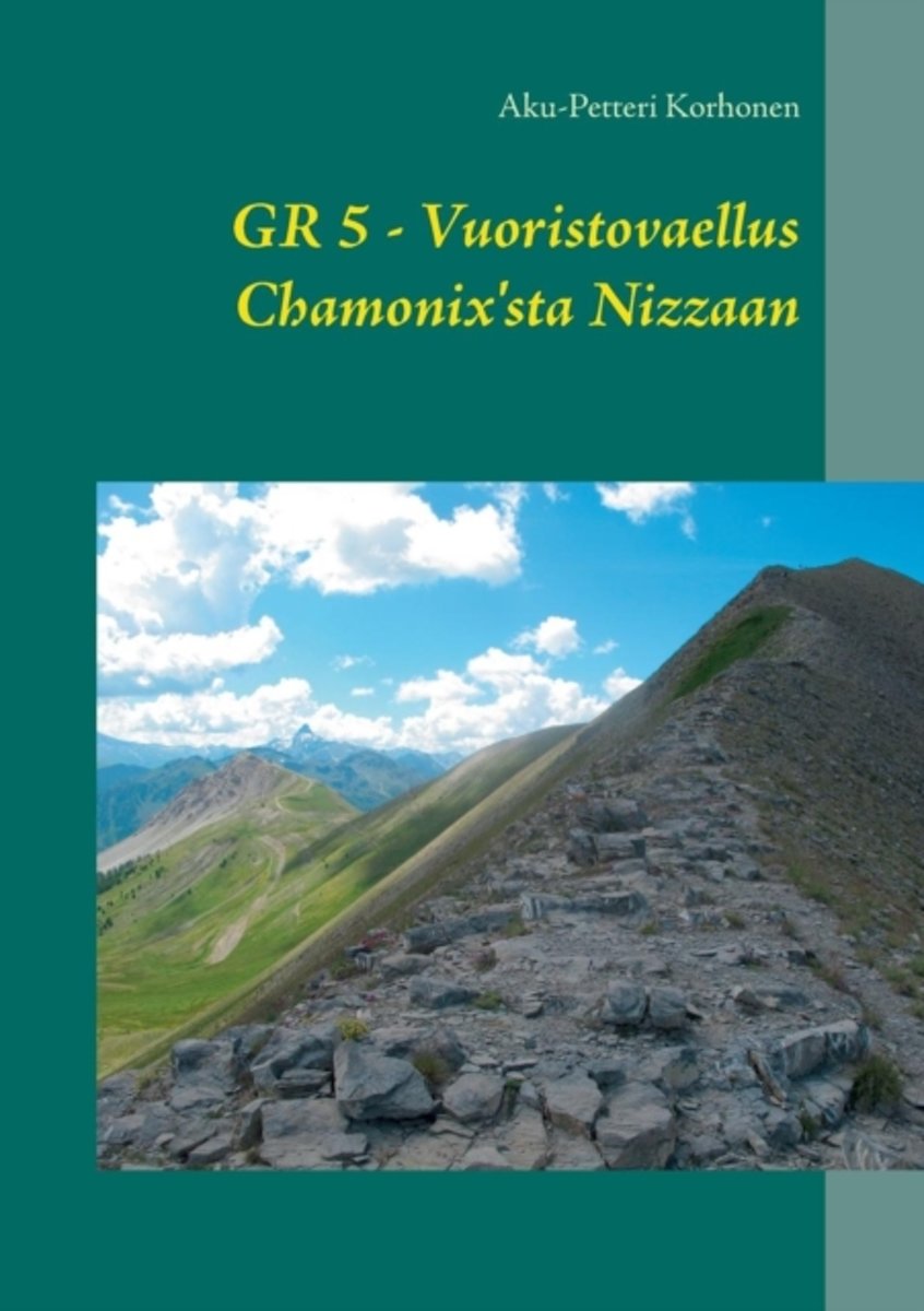
- Vuoristovaellus Chamonix'sta Nizzaan
- Kirjassa kuvataan kesalla 2014 tehtya vaellusta Chamonix'sta Nizzaan. Kyseessa on Ranskan Alppien yli kulkeva kuuluisa GR5-reitti, jolla on pituutta useita satoja kilometreja. Talla reissulla siihen kaytettiin kolmisen viikkoa. Kirjassa kuvataan matkan varrella eteen tulevia tilanteita seka reitilla tavattujen ympari maailmaa tulleiden... Read more
- Also available from:
- Bol.com, Belgium

Belgium
- Vuoristovaellus Chamonix'sta Nizzaan
- Kirjassa kuvataan kesalla 2014 tehtya vaellusta Chamonix'sta Nizzaan. Kyseessa on Ranskan Alppien yli kulkeva kuuluisa GR5-reitti, jolla on pituutta useita satoja kilometreja. Talla reissulla siihen kaytettiin kolmisen viikkoa. Kirjassa kuvataan matkan varrella eteen tulevia tilanteita seka reitilla tavattujen ympari maailmaa tulleiden... Read more
Maps

United Kingdom
- Alsace / Mulhouse - Basel 2013
- The southern part of Alsace around Mulhouse and Guebwiller on a GPS compatible, double-sided map at 1:50,000 from K Read more
- Also available from:
- Stanfords, United Kingdom
- De Zwerver, Netherlands

United Kingdom
- Alsace - Mulhouse - Basel - Altkirch K+F Outdoor Map 2
- The southern part of Alsace around Mulhouse and Guebwiller on a GPS compatible, double-sided map at 1:50,000 from Kümmerly+Frey printed on sturdy, waterproof and tear-resistant synthetic paper; contoured, with hiking and cycling routes, sites for other recreational activities, various accommodation options, restaurants and ferme-auberge... Read more

Netherlands
- Wandelkaart 02 Outdoorkarte FR Elsass, Vogesen - Alsace / Elsass - Mulhouse - Basel | Kümmerly & Frey
- The southern part of Alsace around Mulhouse and Guebwiller on a GPS compatible, double-sided map at 1:50,000 from K Read more

United Kingdom
- Alsace - Colmar - Selestat 2013
- The central part of Alsace around Colmar and Sélestat on a GPS compatible, double-sided map at 1:50,000 from Kümmerly+Frey printed on sturdy, waterproof and tear-resistant synthetic paper; contoured, with hiking and cycling routes, sites for other recreational activities, various accommodation options, restaurants and ferme-auberge locations,... Read more
- Also available from:
- Stanfords, United Kingdom
- De Zwerver, Netherlands

United Kingdom
- Alsace - Colmar - Sélestat - Freiburg im Breisgau - Lahr K+F Outdoor Map 5
- The central part of Alsace around Colmar and Sélestat on a GPS compatible, double-sided map at 1:50,000 from Kümmerly+Frey printed on sturdy, waterproof and tear-resistant synthetic paper; contoured, with hiking and cycling routes, sites for other recreational activities, various accommodation options, restaurants and ferme-auberge locations,... Read more

Netherlands
- Wandelkaart 05 Outdoorkarte FR Elsass - Colmar - Sélestat - Elzas | Kümmerly & Frey
- The central part of Alsace around Colmar and Sélestat on a GPS compatible, double-sided map at 1:50,000 from Kümmerly+Frey printed on sturdy, waterproof and tear-resistant synthetic paper; contoured, with hiking and cycling routes, sites for other recreational activities, various accommodation options, restaurants and ferme-auberge locations,... Read more

United Kingdom
- Alsace - Strasbourg 2013
- The central part of Alsace around Strasbourg and Saverne on a GPS compatible, double-sided map at 1:50,000 from K Read more
- Also available from:
- Stanfords, United Kingdom
- De Zwerver, Netherlands

United Kingdom
- Alsace - Strasbourg - Saverne - Barr - Offenburg K+F Outdoor Map 7
- The central part of Alsace around Strasbourg and Saverne on a GPS compatible, double-sided map at 1:50,000 from Kümmerly+Frey printed on sturdy, waterproof and tear-resistant synthetic paper; contoured, with hiking and cycling routes, sites for other recreational activities, various accommodation options, restaurants and ferme-auberge... Read more

Netherlands
- Wandelkaart 07 Outdoorkarte FR Elsass, Vogesen - Alsace, Strasbourg Elzas - Vogezen | Kümmerly & Frey
- The central part of Alsace around Strasbourg and Saverne on a GPS compatible, double-sided map at 1:50,000 from K Read more

United Kingdom
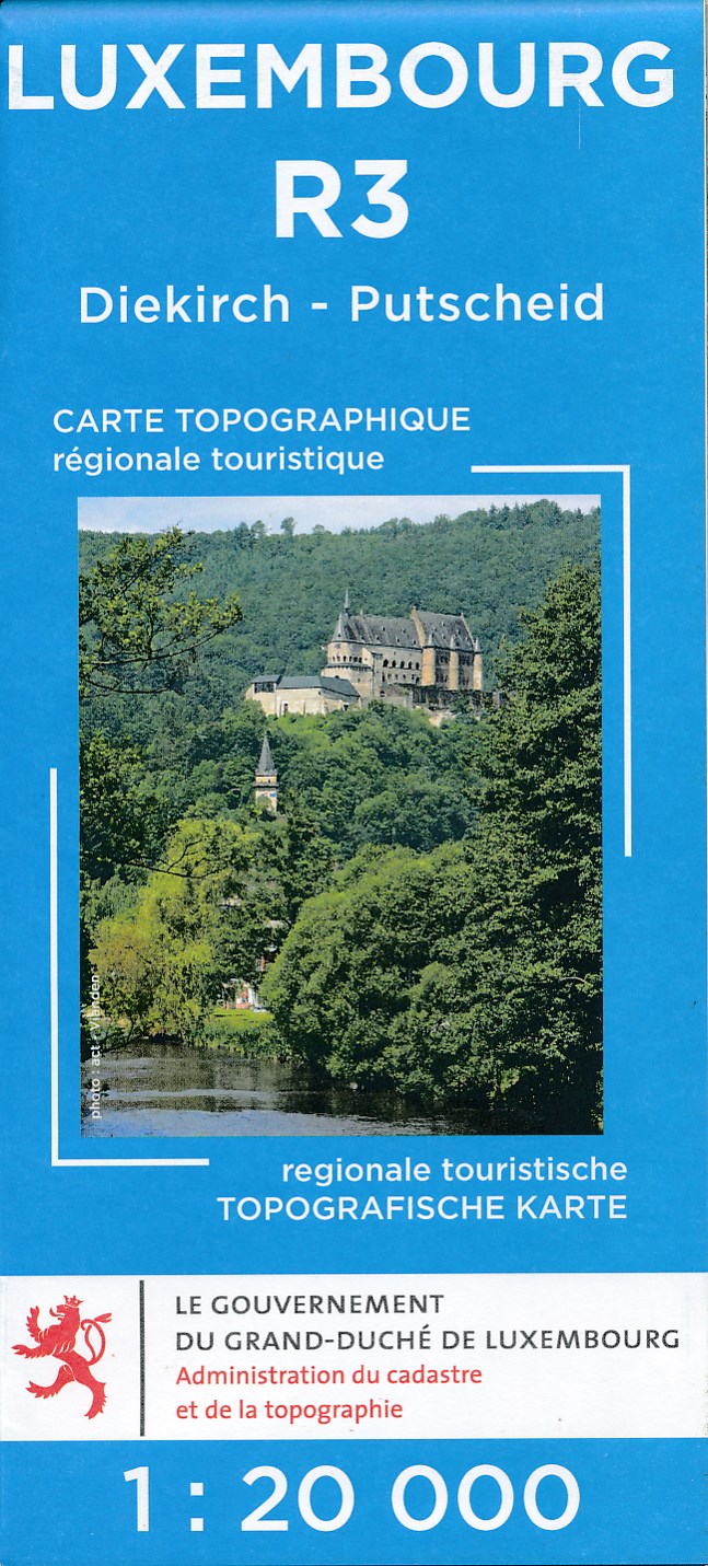
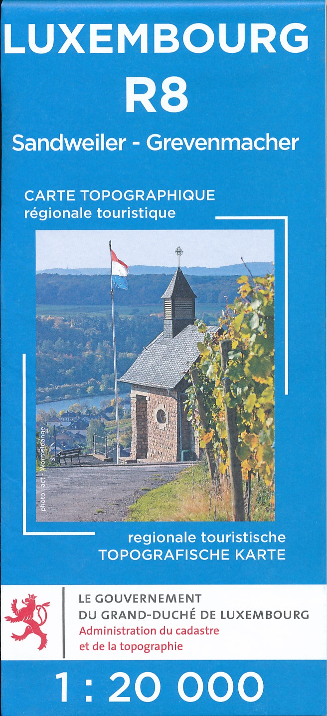
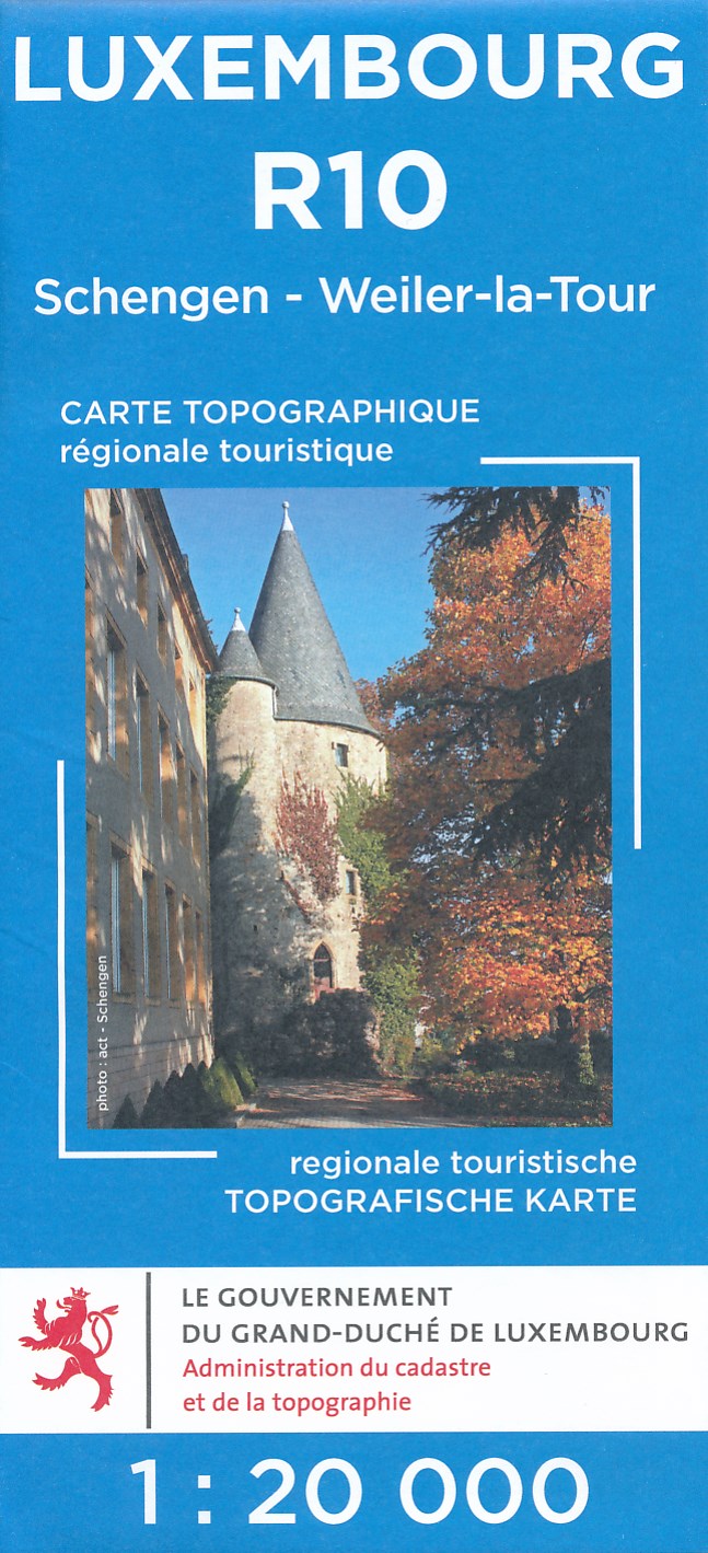
- Luxembourg North
- One of two topographic survey maps of Luxembourg at 1:50,000, with contours at 10-metres intervals and additional relief shading. An overprint highlights long-distance footpaths, including the GR5 (E-2), cycle routes, and various places of interest, including campsites. The map covers an area of approximately 53 x 43 km / 33 x 27 miles. Map... Read more

United Kingdom
- Luxembourg South
- One of two topographic survey maps of Luxembourg at 1:50,000, with contours at 10-metres intervals and additional relief shading. An overprint highlights long-distance footpaths, including the GR5 (E-2), cycle routes, and various places of interest, including campsites. The map covers an area of approximately 53 x 43 km / 33 x 27 miles. Map... Read more

United Kingdom
- Vanoise National Park - Beaufortain Didier Richard 04
- Vanoise National Park and the Beaufortain Massif in the French Alps at 1:60,000 on a contoured and GPS compatible map from Didier Richard with a base derived from IGN’s topographic survey, highlighting both local hiking routes and the GR network of long-distance paths, gîtes and mountain refuges, interesting natural and cultural sites, etc. The... Read more
- Also available from:
- De Zwerver, Netherlands

Netherlands
- Wandelkaart 04 Vanoise - Beaufortain | Libris
- Vanoise National Park and the Beaufortain Massif in the French Alps at 1:60,000 on a contoured and GPS compatible map from Didier Richard with a base derived from IGN Read more

United Kingdom
- Autour du Thabor: Modane - Bardonecchia - Briançon
- Mont Thabor area at 1:50,000 on a contoured and GPS compatible map from Editions Didier Richard in their series of walking maps of French Alps and other popular hiking regions of south-eastern France. Coverage extends from Modane in the north to Briançon in the south-east, and west to Valloire.The base map with cartography from the IGN has... Read more
- Also available from:
- De Zwerver, Netherlands

Netherlands
- Wandelkaart 16 Autour du Thabor | Libris
- Mont Thabor area at 1:50,000 on a contoured and GPS compatible map from Editions Didier Richard in their series of walking maps of French Alps and other popular hiking regions of south-eastern France. Coverage extends from Modane in the north to Brian Read more

United Kingdom
2018
- Tour de l`Oisans et des Ecrins - Parc national des Ecrins GR54/GR541
- Tour de l`Oisans et des Ecrins, FFRP topoguide, Ref. No. 508, covering the 11 to 13 days long tour of the Ecrins massif along the GR54, including the local section of the GR5. Variants along GRs 54A, 54B, 54C, and 541 offer less demanding circuits of two to three days. Current edition of this title was published in April 2014.To see other... Read more
- Also available from:
- De Zwerver, Netherlands

Netherlands
2018
- Wandelgids 508 Tour de l'Oisans et des Ecrins | FFRP
- Tour de l`Oisans et des Ecrins, FFRP topoguide, Ref. No. 508, covering the 11 to 13 days long tour of the Ecrins massif along the GR54, including the local section of the GR5. Variants along GRs 54A, 54B, 54C, and 541 offer less demanding circuits of two to three days. Current edition of this title was published in April 2014.To see other... Read more

United Kingdom
- Nice - Menton - PN du Mercantour IGN TOP100 165
- Discover the new double-sided laminated edition of TOP100 road maps of France from the Institut Géographique National (IGN); exceptionally detailed, contoured road maps which include the cycle paths and greenways of the AF3V (French Association for the Development of Cycle Paths and Greenways), ideal for exploring the French countryside by car,... Read more
- Also available from:
- De Zwerver, Netherlands
Walking holidays
Netherlands
- Frankrijk - Savoie
- De GR5 is de roemruchte, meer dan 2000 km lange wandelroute van Hoek-van-Holland naar Nice. SNP gaat de komende jaren het spectaculairste stuk GR5 van het Meer van Genève door de ruige Franse Alpen naar Nice aanbieden in 4 etappes. Etappe 2 loopt van de Mont-Blanc door de Beaufortain en de Vanoise naar Modane. Je overnacht enkele malen in een... Read more
Netherlands
- Frankrijk - Haute Savoie
- De GR5 is de roemruchte, meer dan 2000 km lange wandelroute van Hoek-van-Holland naar Nice. SNP gaat de komende jaren het spectaculairste stuk GR5 van het Meer van Genève door de ruige Franse Alpen naar Nice aanbieden in 4 etappes. Etappe 1 loopt van Evian-les-Bains naar de Mont-Blanc. Je overnacht om en om in een sfeervol berghotelletje en een... Read more
- Also available from:
- Snp Wandelreizen, Netherlands
Netherlands
- Frankrijk - Haute Savoie
- Volg de Tour du Mont Blanc door Frankrijk, Italië en Zwitserland en pik van elke cultuur wat mee. Het uitzicht is steeds indrukwekkend en tijdens deze trektocht op grote hoogte loop je over goede paden door ruig terrein, vaak dicht onderlangs de vele gletsjers van het massief. Aan de Italiaanse kant kom je door het sfeervolle centrum van... Read more
Netherlands
- Frankrijk - Vogezen
- Niet al te ver van huis kan je een korte, pittige trektocht maken door de hoogste regionen van de Vogezen. Tussen de klingelende koeien en almboerderijen waan je je soms in de Alpen. Dit gebied is bekend om de Ballons, de kale, ronde bergtoppen, en de Chaumes, de hoge bergweides. Eerst wandel je vanuit de Elzas over beboste hellingen en langs... Read more
- Also available from:
- Snp Wandelreizen, Netherlands
Netherlands
- Frankrijk - Vogezen
- Verblijf bij een familiepension met Nederlandse eigenaren. Er is zo veel te doen op het grote terrein dat de kinderen niet meer weg willen. Er zijn altijd speelkameraadjes en daarnaast ook nog het zwembad, de ezels, de pony's...... Heerlijk verzorgd met ontbijt en avondeten. Er zijn tal van wandelingen te maken door de bossen en langs de vele... Read more
Forum

- bbmoro 2016-04-17 18:52:41
description GR5
- hello! Where can I find the descriptive of the netherlands GR5 section ,please ?
Thanks - Traildino 2016-04-17 21:28:26
- It's called Deltapad, or Nederlands Kustpad. http://www.traildino.com/trace/continents-Europe/countries-Netherlands/trails-Deltapad. The GR5 uses the northern and eastern parts of this path.
- Verslagen van mijn wandelingen. De GR5 ,Cape Wrath Trail, Kungsleden. 2016-04-17 22:30:39
- Hi. I already posted several walking daybooks from the gr5, Next week I will walk the dutch part between Maassluis and Bergen op Zoom. The hicking report will be posted arounf the first of May.
http://www.traildino.nl/user/25474

- Thomas B 2013-05-31 11:00:32
RUNNING the GR5
- Hello everyone,
My name is Thomas and i'm planning to run from Brussels to Nice.
I'm new to traildino and was wondering if these trails were " runable".
What do you say ? - Henk Nouws 2013-06-03 12:37:17
- Well, it depends on you. The path is not hard covered most of the time. And in some places it will be too steep for running. Best is to compare the GR5 with any other hiking trail you know of that is used for running challenges. Some people manage to run everywhere in every terrain!!

- patacon 2012-11-29 01:15:39
the other way around
- I want to hike the GR5 but I want to start in feburary. So I think it is smarter to walk the trail the other way around because of the temperatures. Does anybody knows if the trail is marked in both direction?
Thanks for answers :) - Henk Nouws 2012-11-30 15:37:07
- Yes, the path is marked in both directions.
But if you start in Nice in February, you will soon run into problems because of the snow. Even when you start in May, you should be prepared for snow in the higher parts of the Alps.
On the other side, starting south and walking north is generally a good idea if you like to make pictures, because you will have the sun in your back.
- bbmoro 2016-04-17 18:54:00
- Hello! Do you have the GR5 netherlands section?