GR6
Description
- Name GR6 (GR6)
- Start of trail Sainte-Foy-la-Grande
- End of trail Saint-Paul-sur-Ubaye
- Traildino grading MW, Moderate walk, backpacking trail
- Hut tour grading T1, Walk


6
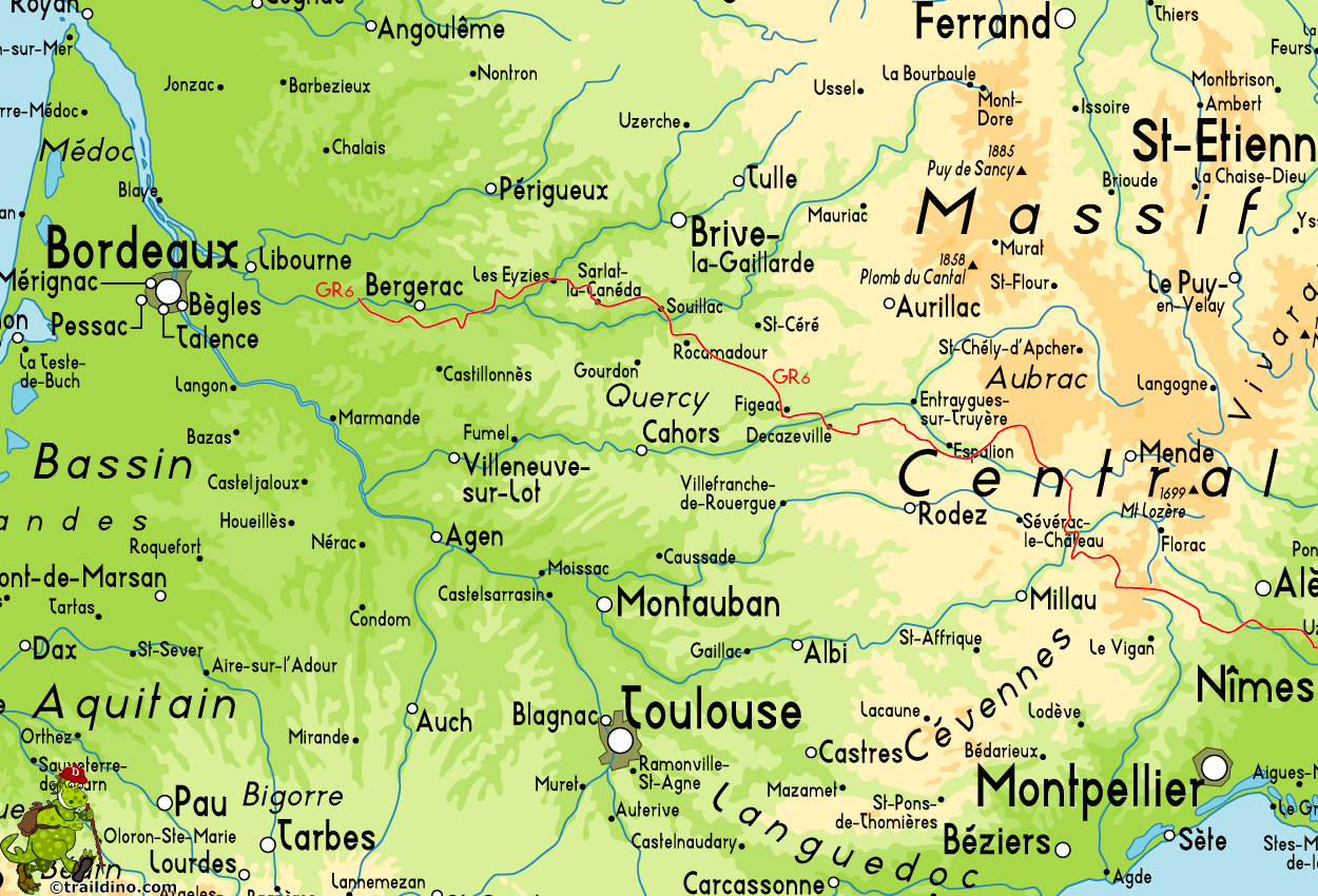
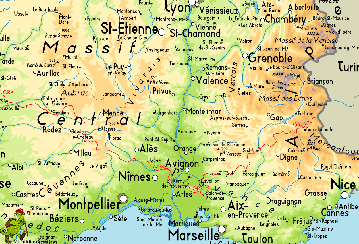
 Sainte-Foy-la-Grande (near Bordeaux) - Saint-Paul-sur-Ubaye (Alpes-de-Haute-Provence, border with Italy)
The GR6 runs west-east, through the Gironde, the Cévennes and the Provence. Parts of the trail are equal to the E7. Be aware that the region around the Luberon might be closed all summer (july-august) due to risk of forest fires.
Select some tracks
☐Sentier de Grande Randonnée 6 Provence, 446km
☐Sentier de Grande Randonnée 6, section Langon - Rocamadour, 307km
☐Grubria Anello GR6 Paderno Cinisello Cusano, 17km
☐Sentier de Grande Randonnée 6, tracé principal, 0.5km
☐Liaison GR 654 Ouest - GR 6, 3.9km
☐Liaison pour les GRP - Le GR6 ne passe plus ici., 3.2km
Map
Links
Facts
Reports
Guides and maps
Lodging
Organisations
Tour operators
GPS
Other
Books

Stanfords
United Kingdom
2013
United Kingdom
2013
- GR6/61/62/63/66/67: Grande Traversee du Gard, Mont Aigoual - Avignon FFRP Topo-guide No. 603
- Grande Traversée du Gard: Mont Aigoual - Avignon, FFRP topoguide, Ref. No. 603, covering ten GR routes in the Cevennes and in the department of Gard: GR6 from Beaucaire to Meyrueis (164.5km), GR63 from Avignon to Col de la Lusette (142.5km), GR67 – a 120.5km circuit from Anduze, GR66 – an 81km tour of Mont Aigoual starting at L’Espérou, plus... Read more

Stanfords
United Kingdom
2021
United Kingdom
2021
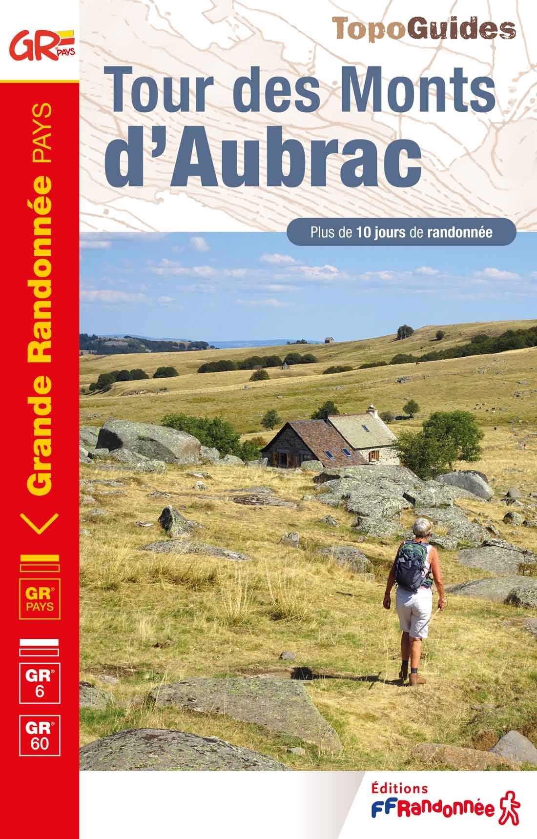
- Tour des Monts d`Aubrac GRP/GR60/GR6
- Tour des Monts d`Aubrac, FFRP topoguide Ref. No. 616, covering 259kms of hiking circuits in the Massif Central along the GR6, GR60 and GR65. Current edition of this title was published in May 2016.ABOUT THE FFRP (Fédération française de la randonnée pédestre) TOPOGUIDES: published in a handy A5 paperback format, the guides are the best... Read more
- Also available from:
- The Book Depository, United Kingdom

Stanfords
United Kingdom
2021
United Kingdom
2021
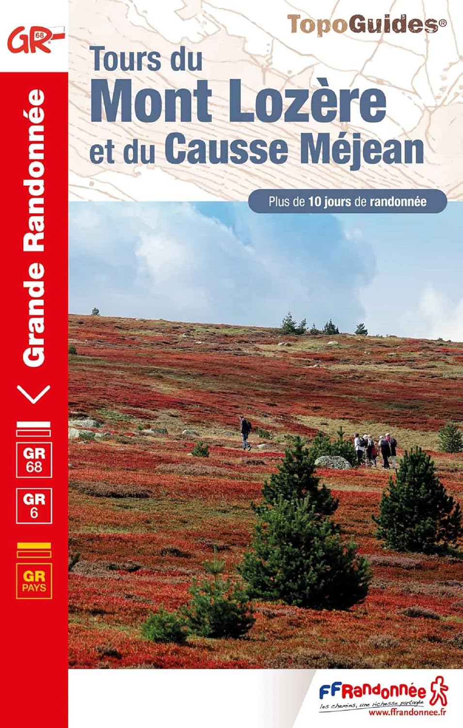
- Tour du Mont-Lozere et du Causse Méjean GR6/GR68
- Tours du Mont-Lozère et du Causse Méjean, FFRP topo-guide Ref. No. 631, with the two circular tours, a 117-km Tour du Mont Lozère and a 111-km Tour du Causse Méjean, plus additional trails along the GR7 and GR70.ABOUT THE FFRP (Fédération française de la randonnée pédestre) TOPOGUIDES: published in a handy A5 paperback format, the guides are... Read more
- Also available from:
- The Book Depository, United Kingdom
» Click to close
More books…


