GR653D - Voie d’Arles
Description
- Name GR653D - Voie d’Arles (GR653D)
- Length of trail 430 km, 267 miles
- Length in days 17 days
- Start of trail Col de Montgenevre
- End of trail Arles
- Traildino grading MW, Moderate walk, backpacking trail
- Hut tour grading T1, Walk
Via Domitia or GR653 - Voie d’Arles, Col de Montgenevre - Arles, 430 km, 17 days
The Romans constructed this way to connect - what is now - Italy and Spain through France. The itinerary is still known, and at places, Roman constructions are still in place.
The trail is revived as a possible route to Santiago de Compostela. Also, the trail - more or less following the ancient road - is described in a topoguide as GR 653D, Voie d’Arles.
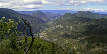
The first part of the trail traverses the Hautes-Alpes. The walk has an alpine character. Between Gap and Apt, it follows the River Durance. Leaving Apt, it is the Provence you are walking through. Finally, in Arles, the trail ends.
Pilgrims then continue on the Via Tolosana, one of the main Ways of St. James in France, heading for the Pyrenees and Spain.
Visit Traildino's overview page for the Way of Saint James / Camino de Santiago.
Links
Facts
Reports
Guides and maps
Lodging
Organisations
Tour operators
GPS
Other
Books

United Kingdom
- The Way of Saint James Along the Via Domitia
- A Travel Guide and a Journey of Love from Oulx to Arles Read more

United Kingdom
2014
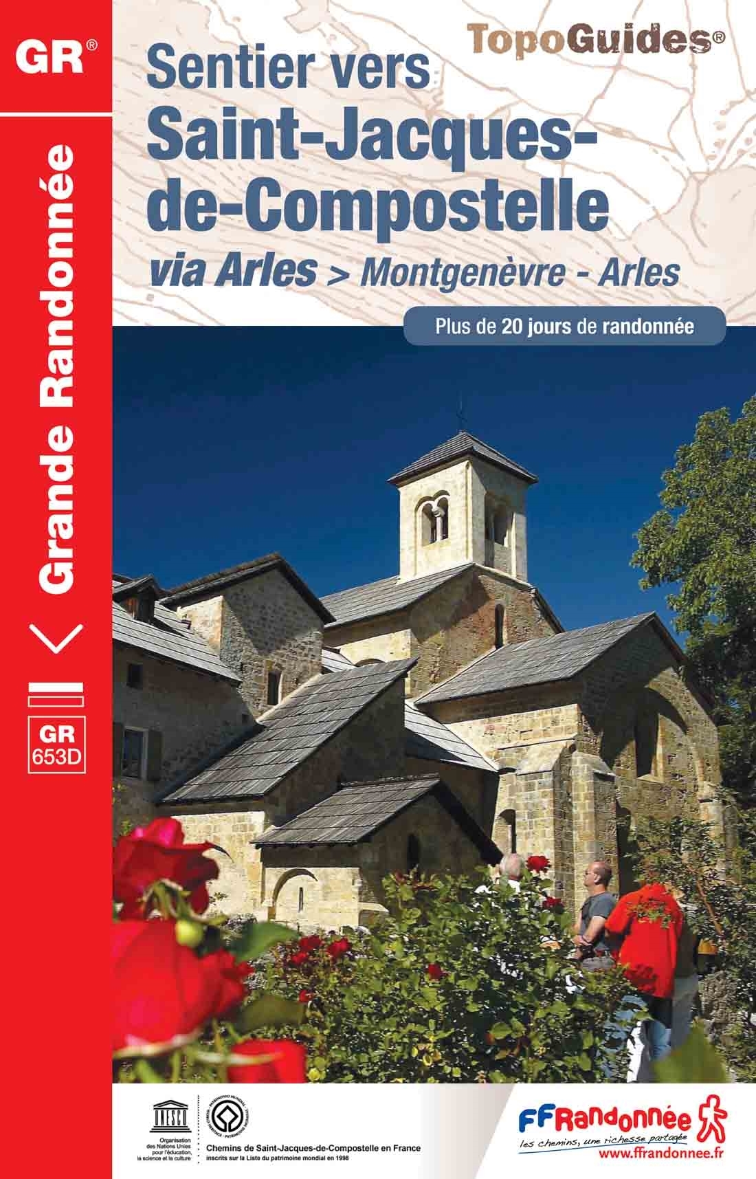
- GR653D Chemins de St-Jacques: Montgenèvre - Arles FFRP Topo-guide No. 6531
- Chemins de St-Jacques: Montgenèvre - Arles, FFRP topoguide Ref. no. 6531, covering a 459km route along the GR653D from Montgenèvre in the French Alps on the Italian border, across Gap, Sisteron, Apt and Cavaillon, to Arles. Current edition of this title was published in June 2014.ABOUT THE FFRP (Fédération française de la randonnée pédestre)... Read more
- Also available from:
- De Zwerver, Netherlands

Netherlands
2014
- Wandelgids - Pelgrimsroute 6531 Sentier vers Saint-Jacques-de-Compostelle : Montgenèvre - Arles GR653D | FFRP
- Guide FFRandonnée Sentier vers Saint-Jacques-de-Compostelle : Montgenèvre - Arles - GR 653D - 459 km de sentiers GR. La Voie d'Arles. Un chemin incontournable, à la fois itinéraire jacquaire et ancienne voie romaine, qui vous fera découvrir 4 départements aux paysages contrastés et au... Read more


