Fichtelgebirge
Description
Low mountain range in Bayern.
Trails in this region
Links
Facts
Reports
Guides and maps
Lodging
Organisations
Tour operators
GPS
Other
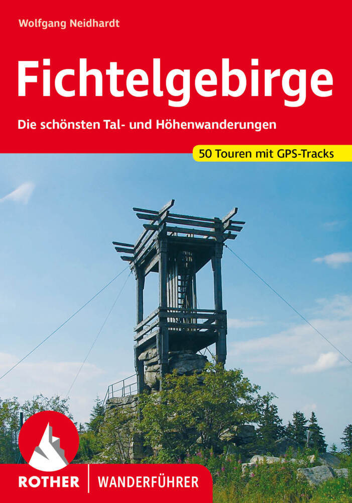
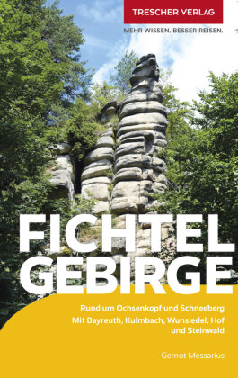
Books
De Zwerver
Netherlands
2021
Netherlands
2021
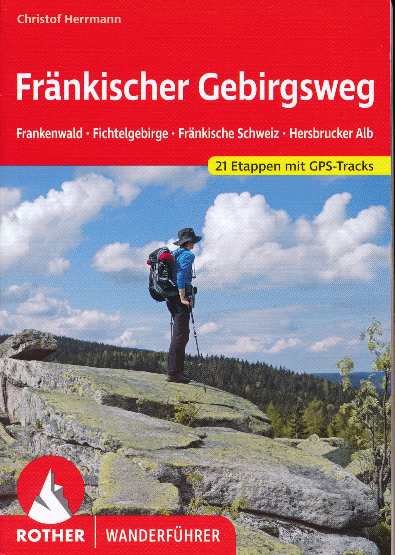
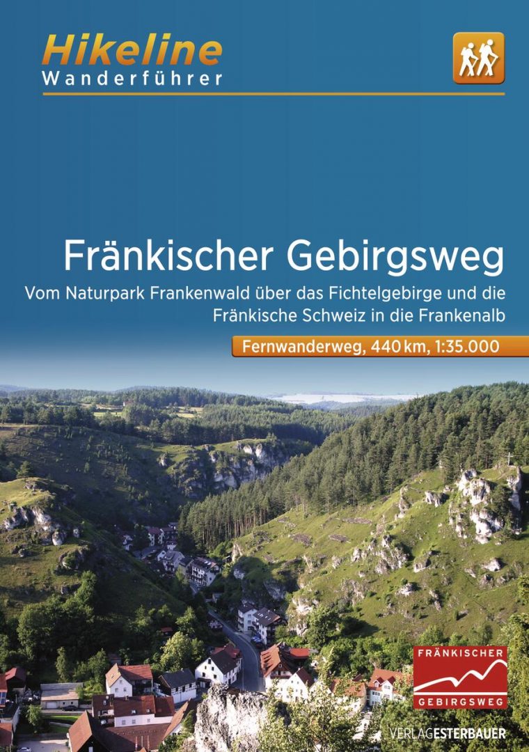
- Wandelgids Fränkischer Gebirgsweg | Rother Bergverlag
- 160 Seiten mit 85 Farbabbildungen, 21 Höhenprofile, 21 Wanderkärtchen im Maßstab 1:100.000, eine Übersichtskarte im Maßstab 1:700.000, GPS-Tracks zum Download Ausgezeichnet als »Qualitätsweg Wanderbares Deutschland«! Vom Frankenwald über das Fichtelgebirge und die Fränkische Schweiz zum Nürnberger Land – der Fränkische Gebirgsweg zählt zu den... Read more
Bol.com
Netherlands
Netherlands
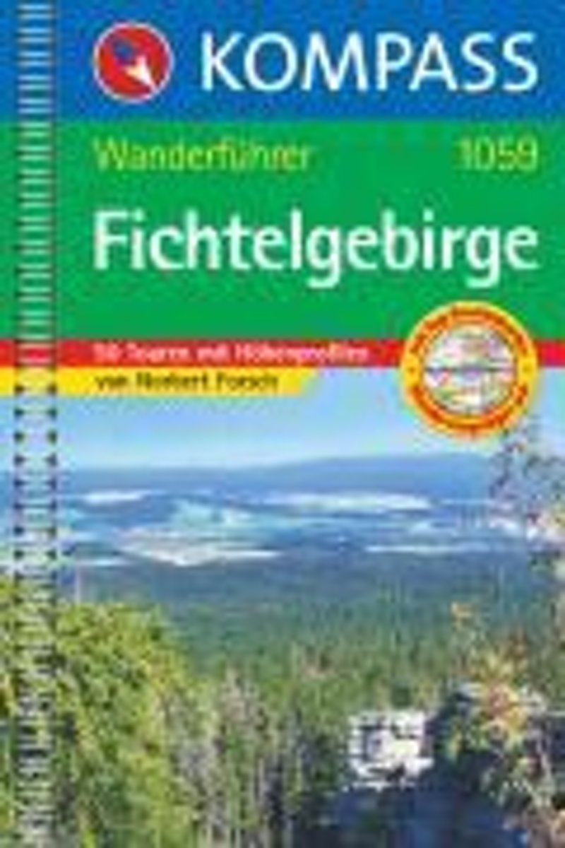
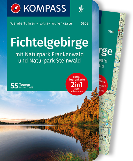
- WF1059 Fichtelgebirge Kompass
- 50 Touren mit Ktn und HöhenprofilenDe Kompass wandelgids + kaart geeft een overzicht van alle wandelroutes in het gebied met nauwkeurige routeaanwijzingen en hoogteaanduidingen, De extra grote kaart, schaal 1:35 000, is ideaal om van te voren uw route uit te stippelen en om onderweg te gebruiken • naast de bekende bestemmingen, worden ook de... Read more
- Also available from:
- Bol.com, Belgium
Bol.com
Belgium
Belgium
- WF1059 Fichtelgebirge Kompass
- 50 Touren mit Ktn und HöhenprofilenDe Kompass wandelgids + kaart geeft een overzicht van alle wandelroutes in het gebied met nauwkeurige routeaanwijzingen en hoogteaanduidingen, De extra grote kaart, schaal 1:35 000, is ideaal om van te voren uw route uit te stippelen en om onderweg te gebruiken • naast de bekende bestemmingen, worden ook de... Read more
De Zwerver
Netherlands
2012
Netherlands
2012
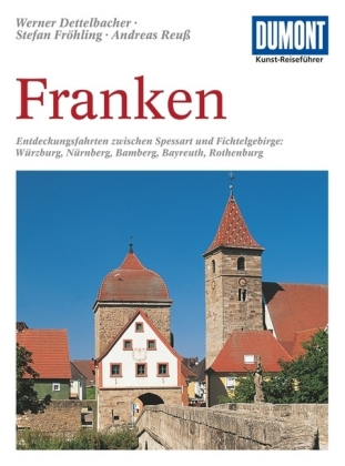
- Reisgids Kunstreiseführer Franken | Dumont
- Für Kunstliebhaber und Geschichtsinteressierte ist die Region im Norden Bayerns dank ihrer Fülle an herausragenden Sehenswürdigkeiten ein kleines Juwel. Allein die von der Bau- und Handwerkskunst vieler Jahrhunderte geprägten Städte wie Nürnberg, Bamberg, Bayreuth, Coburg, Würzburg oder Rothenburg rechtfertigen einen Besuch. Eingebettet sind... Read more
Bol.com
Netherlands
Netherlands
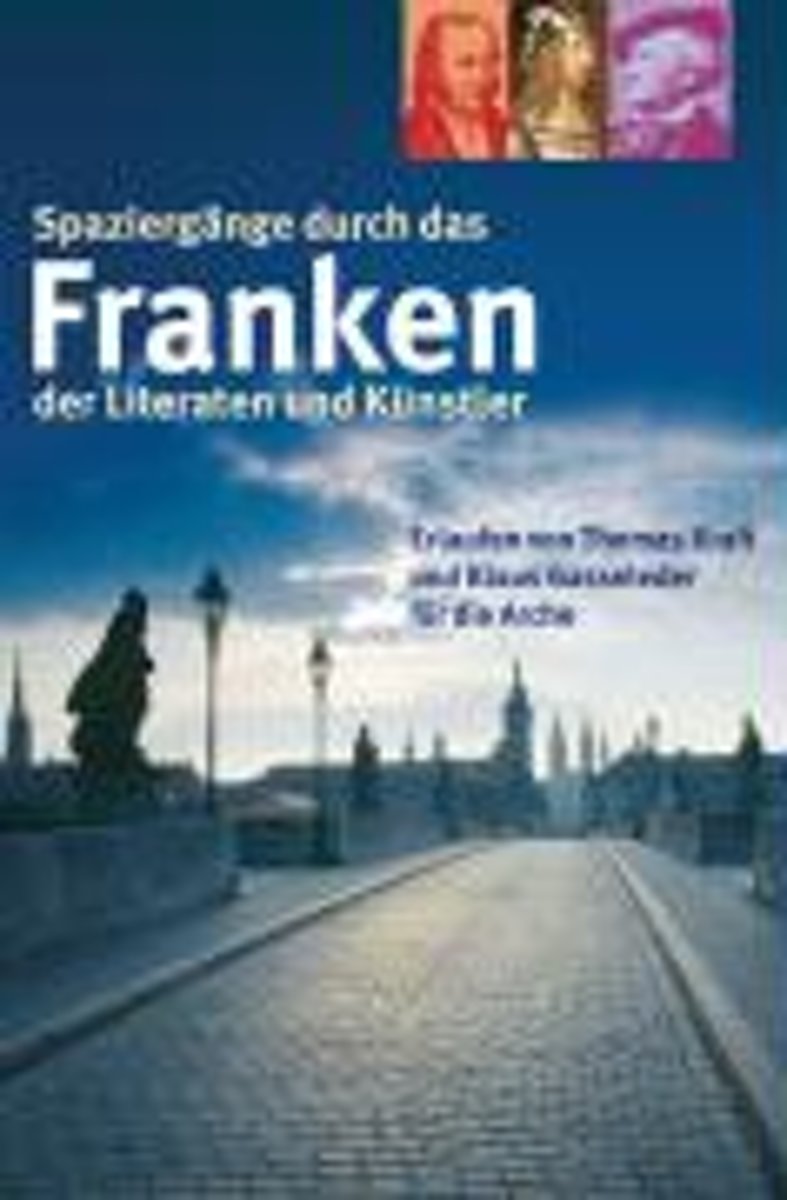
- Spazierg nge durch das Franken der Literaten und K nstler
- Franken: Hier entfaltete sich die reiche Welt des Minne- und Meistersangs von Walther von der Vogelweide bis Hans Sachs. Hier tauchten die Romantiker in ihre M rchenwelt ein, lebte Jean Paul und wurde Jakob Wassermann geboren. Hier lie en sich Durchreisende wie Johann Wolfgang von Goethe von Landschaft, Architektur und Frankenwein bezaubern.Der... Read more
- Also available from:
- Bol.com, Belgium
Bol.com
Belgium
Belgium
- Spazierg nge durch das Franken der Literaten und K nstler
- Franken: Hier entfaltete sich die reiche Welt des Minne- und Meistersangs von Walther von der Vogelweide bis Hans Sachs. Hier tauchten die Romantiker in ihre M rchenwelt ein, lebte Jean Paul und wurde Jakob Wassermann geboren. Hier lie en sich Durchreisende wie Johann Wolfgang von Goethe von Landschaft, Architektur und Frankenwein bezaubern.Der... Read more
More books…
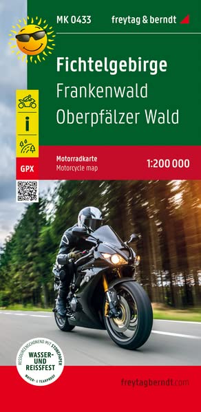
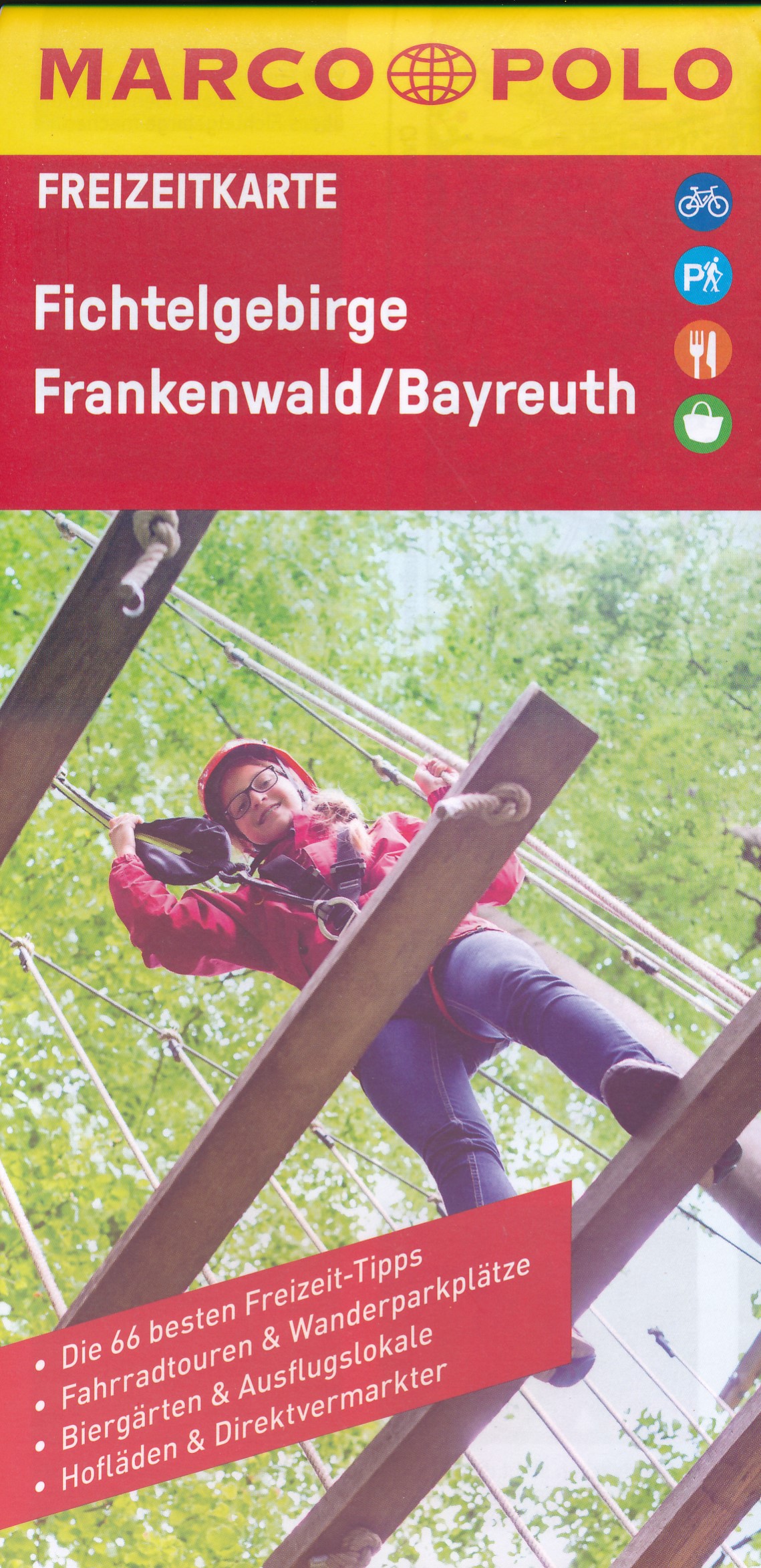
Maps

Stanfords
United Kingdom
United Kingdom
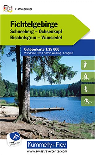
- Fichtelgebirge 35K Kümmerly + Frey Map No. 36
- Fichtelgebirge region of northern Bavaria at 1:35,000 from Kümmerly+Frey in a series GPS compatible, double-sided maps printed on durable, waterproof and tear-resistant plastic paper; contoured, with hiking and cycle routes, other recreational activities, etc.Maps in this series are at a scale of either 1:50,000 or 1:35,000. Contour interval... Read more

Stanfords
United Kingdom
United Kingdom
- Fichtelgebirge Regional Park West
- The western part of the Fichtelgebirge Regional Park, map no. 50-12 covering an area around Bayreuth, Wunsiedel, Kemnath and Münchberg, in a series of special contoured and GP-compatible recreational maps from the Bavarian state survey organization, with cartography of the German topographic survey at 1:50,000 and extensive additional tourist... Read more

Stanfords
United Kingdom
United Kingdom
- Fichtelgebirge Nature Park East - Steinwald Nature Park
- The eastern part of the Fichtelgebirge Regional Park and the Steinwald Regional Park, map no. 50-13 covering an area around Martktredwitz, Wunsiedel, Selb, Erbendorf, Trischenreuth and Waldsassen, in a series of special contoured and GP-compatible recreational maps from the Bavarian state survey organization, with cartography of the German... Read more

Stanfords
United Kingdom
United Kingdom
- Saale Cycle Route - Fichtelgebirge to Elbe Bikeline Map-Guide
- Saale Cycle Route, a 409km long cycle route from the picturesque Fichtelbegirge in Bavaria along the river Saale to the Elbe, presented by the Verlag Esterbauer in a guide with maps at 1:75,000 showing the route and its variants. Extensive information is conveyed by symbols, indicating road surface, campsites and other accommodation, repair... Read more

Stanfords
United Kingdom
United Kingdom
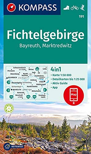
- Fichtelgebirge - Bayreuth - Marktredwitz Kompass 191
- Fichtelgebirge - Bayreuth - Marktredwitz (No. 191), a detailed, GPS compatible map at 1:50,000 from Kompass with local and long-distance footpaths, cycling routes, accommodation, etc, printed on durable, waterproof and tear-resistant synthetic paper. KOMPASS HIKING & RECREATIONAL MAPS:This title is part of an extensive series covering Austria,... Read more
- Also available from:
- De Zwerver, Netherlands
More maps…