
Nordrhein-Westfalen
Description
Trails in this state
- Ahr-Venn-WegGPX
- AhrtalwegGPX
- Bückebergweg
- BurgensteigGPX
- Christine Kochweg GPX
- E1GPX
- E11GPX
- E8GPX
- Eder HöhenwegGPX
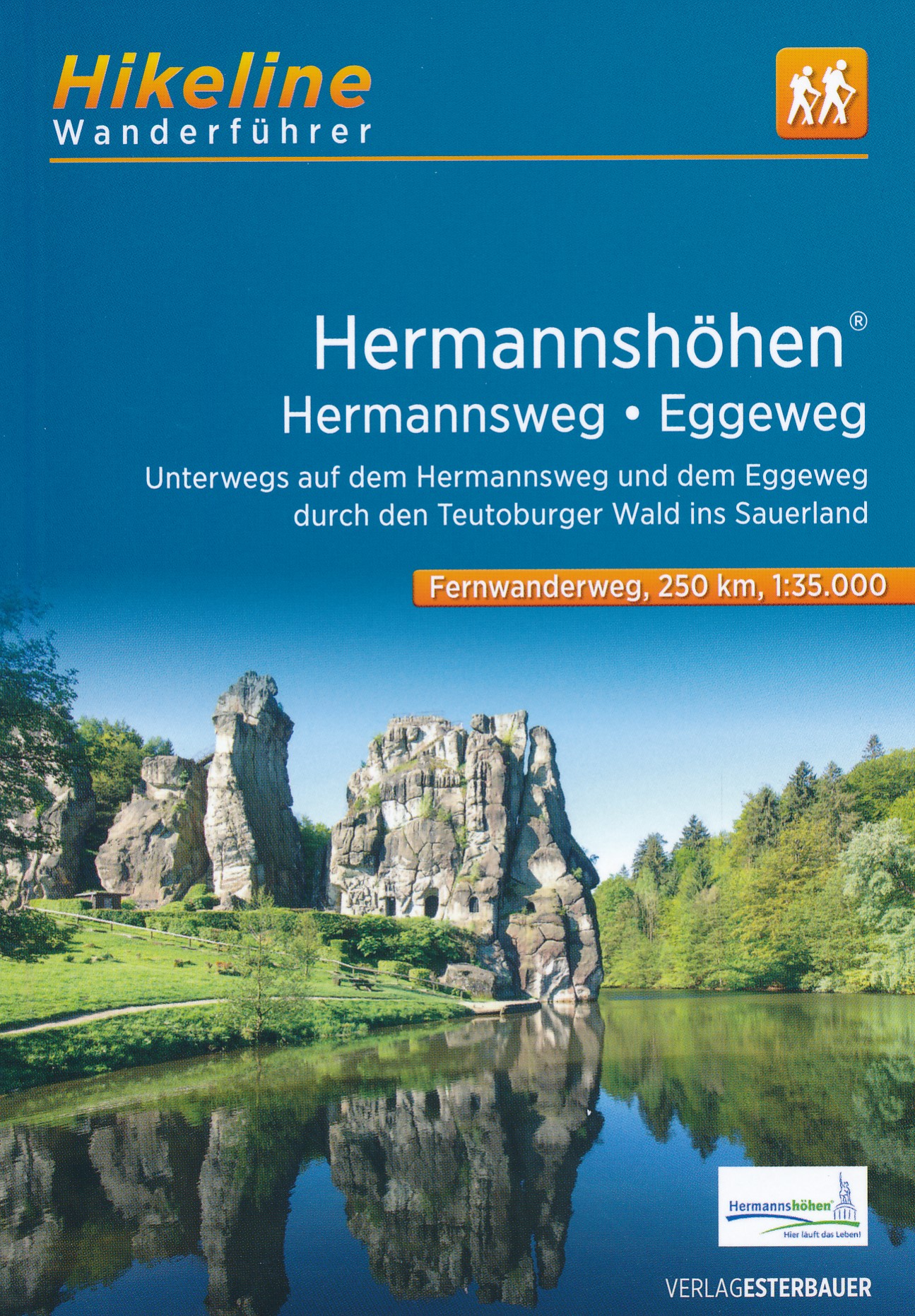
- EggewegGPX
- EhmsenwegGPX
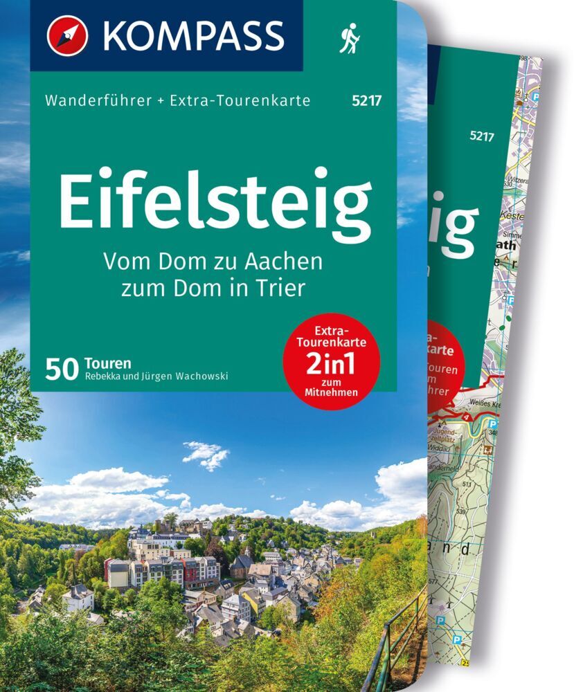
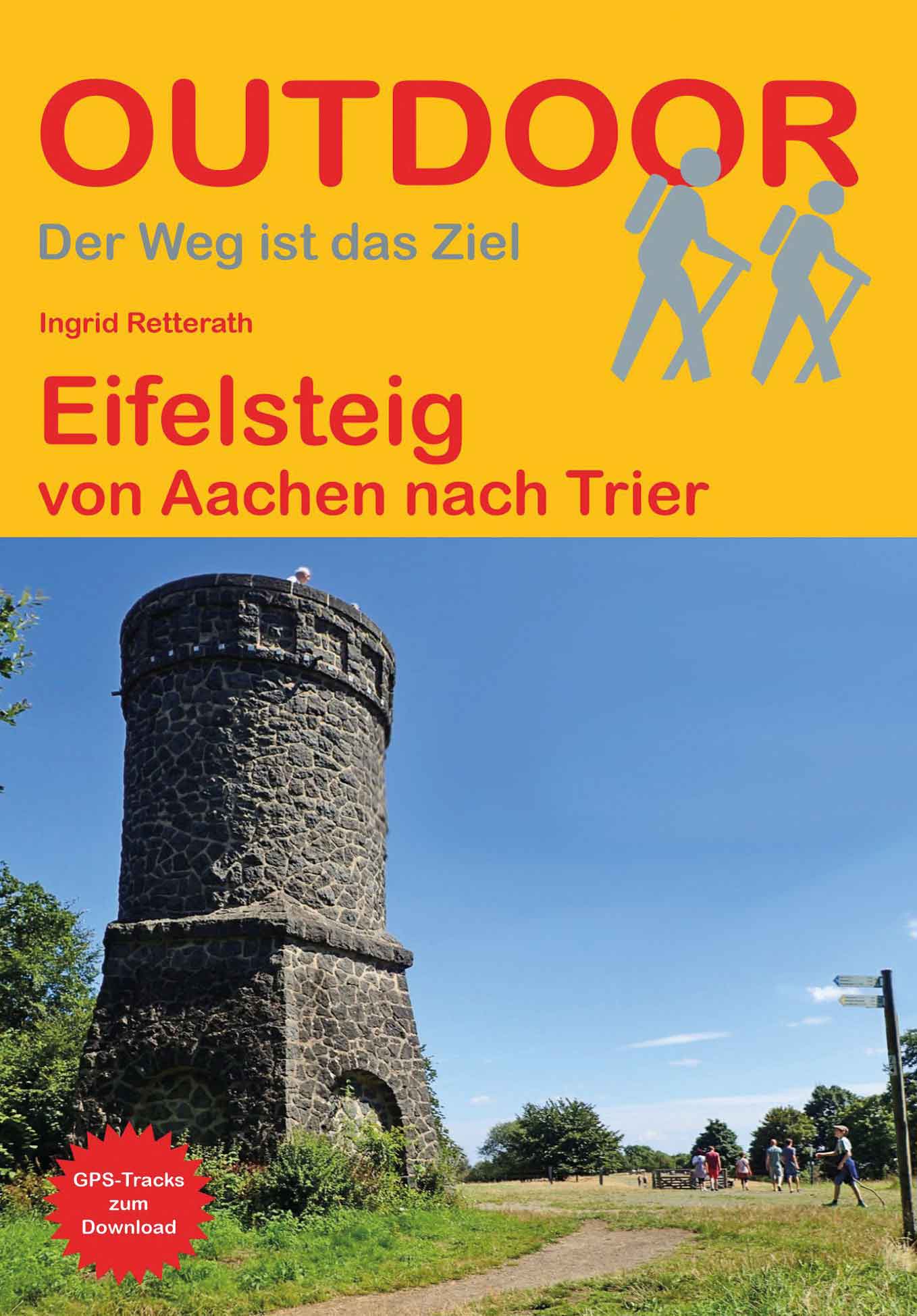
- EifelsteigGPX
- ElisabethpfadGPX
- EmmerwegGPX
- Ems-Hase-Hunte-ElsewegGPX
- EmswegGPX
- Erft-Lieser-Mosel-Weg GPX
- GR15 - AE - Ardennes-EifelGPX
- Graf EngelbertwegGPX
- HansawegGPX
- HermannshöhenGPX
- HermannswegGPX
- Hessenweg 2GPX
- Hessenweg 4GPX
- Hessenweg 6GPX
- Jacobspad LimburgGPX
- Josef-Schramm-Weg GPX
- Kaiser OttowegGPX
- Karl-Kaufmann-WegGPX
- KarolingerwegGPX
- KölnpfadGPX
- KrönungswegGPX
- LahnhöhenwegGPX
- LönspfadGPX
- Maas-NiederrheinpadGPX
- MarskramerpadGPX
- MatthiaswegGPX
- MühlensteigGPX
- MühlenwegGPX
- Medebacher BergwegGPX
- MoselhöhenwegGPX
- MoselsteigGPX
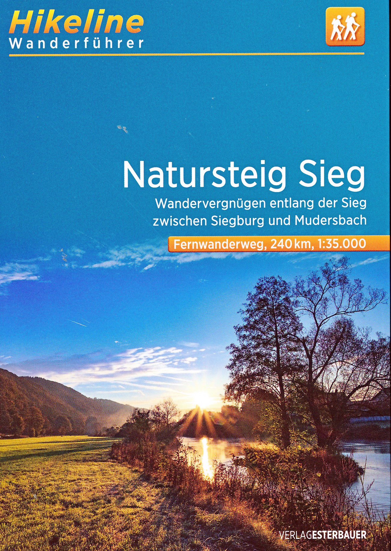
- Natursteig SiegGPX
- NiederrheinwegGPX
- NoaberpadGPX
- Oude IJssel-Rijnpad
- PlackwegGPX
- Römerkanal WanderwegGPX
- RennwegGPX
- Rhein-Kyll-WegGPX
- Rhein-Rureifel-Weg GPX
- RheinhöhenwegGPX
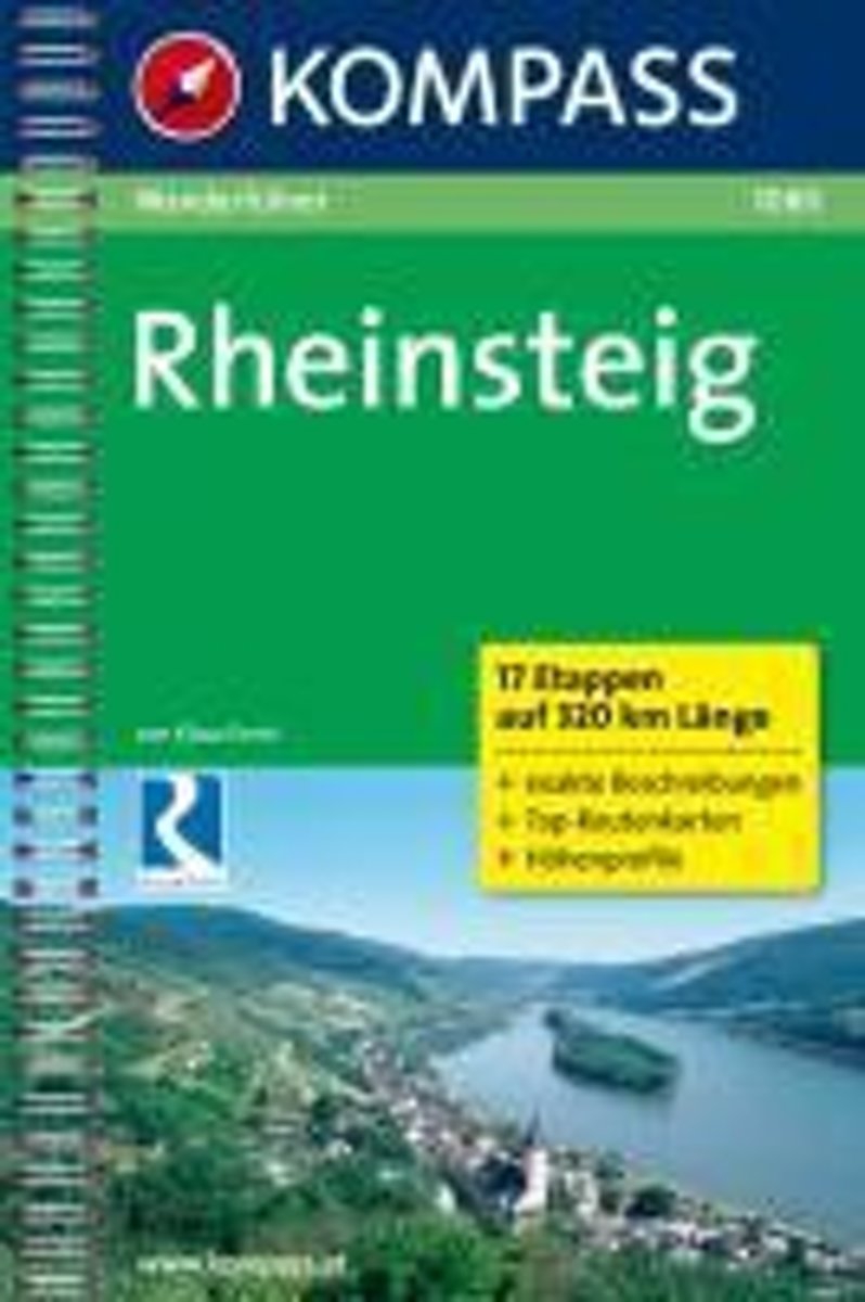
- RheinsteigGPX
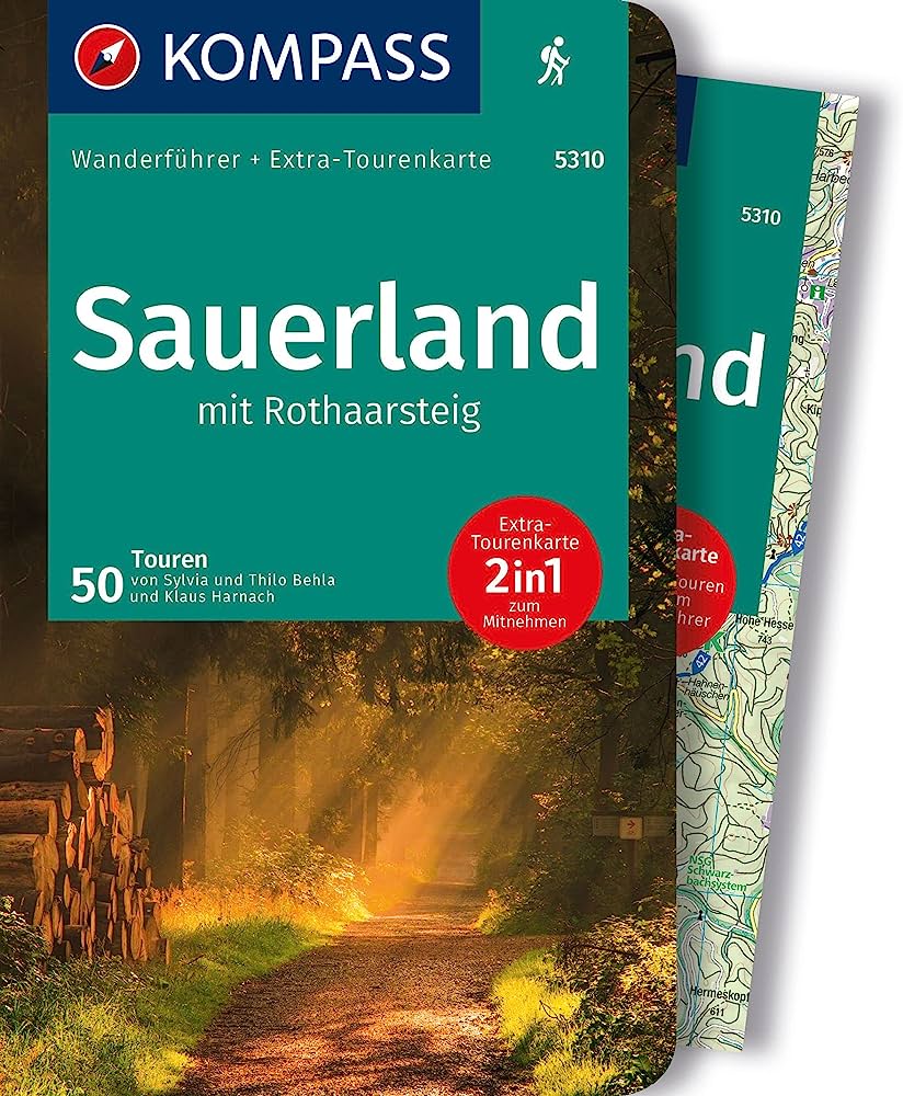
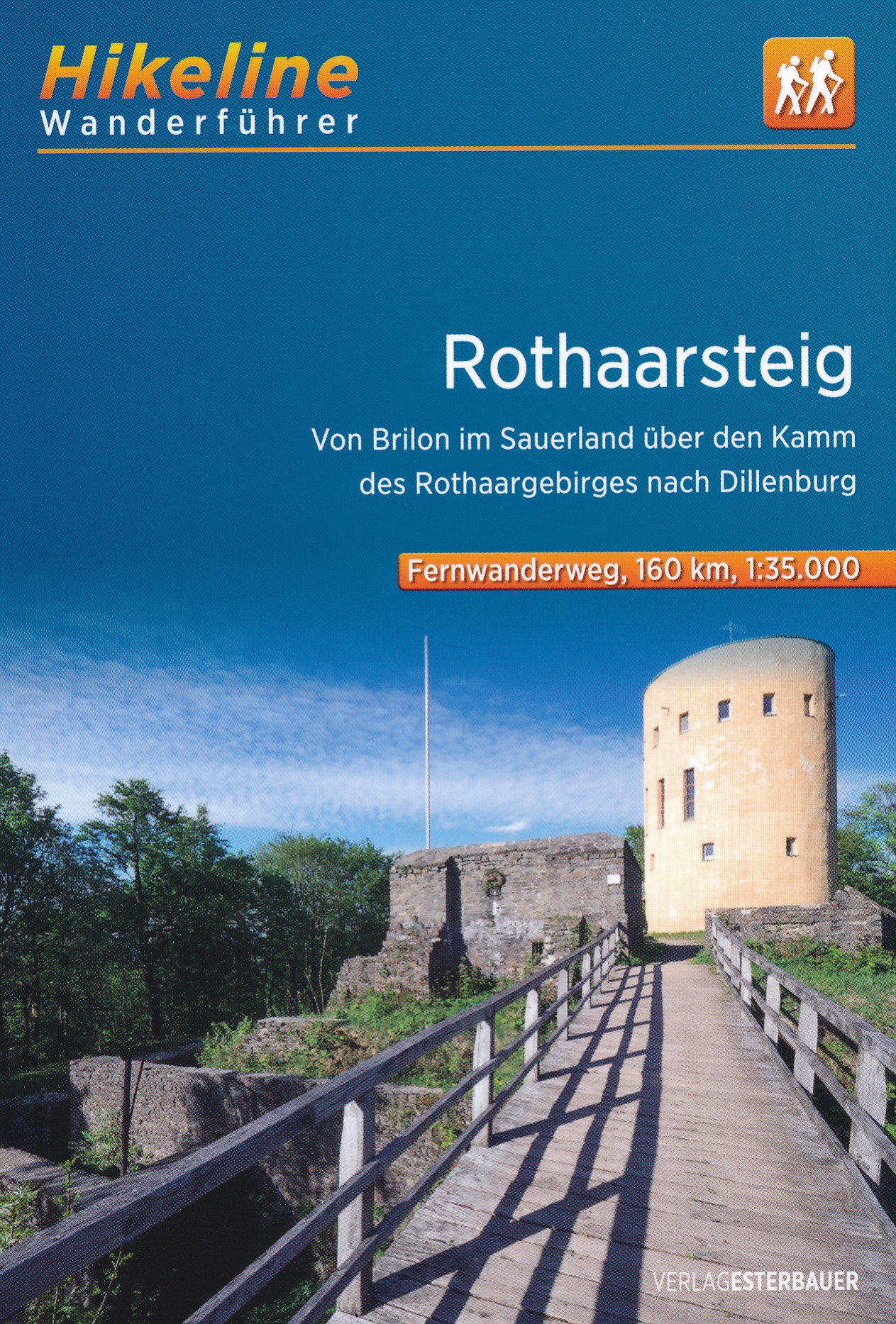
- RothaarsteigGPX
- RothaarwegGPX
- Ruhr HöhenwegGPX
- RunenwegGPX
- Sauerland WaldrouteGPX
- Siegerland HöhenringGPX
- Sintfeld HöhenwegGPX
- TalsperrenwegGPX
- TöddenwegGPX
- VulkanwegGPX
- Wanderweg der Deutschen EinheitGPX
- WeserberglandwegGPX
- WesergebirgswegGPX
- Westfalen WanderwegGPX
- Wildnis TrailGPX
- WillibrorduswegGPX
- Winterberger HochtourGPX
- WupperwegGPX
Links
Facts
Reports
Guides and maps
Lodging
Organisations
Tour operators
GPS
Other
Books

Stanfords
United Kingdom
United Kingdom
- Münsterland 3-Map Set Kompass 849
- The Münsterland region of North Rhine-Westphalia on a set of three detailed, GPS compatible maps at 1:50,000 from Kompass with local and long-distance footpaths, cycling routes, accommodation, etc. Coverage extends north to Osnabrück and Enschede in the Netherlands, and south to Hamm and Reckinghausen.KOMPASS HIKING & RECREATIONAL MAPS:This... Read more

- Also available from:
- De Zwerver, Netherlands
- Also available from:
- De Zwerver, Netherlands

De Zwerver
Netherlands
2022
Netherlands
2022

De Zwerver
Netherlands
2020
Netherlands
2020
- Wandelkaart - Wandelgids Moselsteig | IdeeMedia
- Complete gids + kaartenset om de Moselsteig te lopen langs de Moezel van Perl bij Schengen via Trier en Cochem naar Koblenz aan de Rijn. Totaal 365 km. Beschrijving van 24 wandeletappes met belangrijke informatie voor onderweg. Detailkaartjes en hoogteprofielen, overnachtingsadressen, bezienswaardigheden. Bij het boek horen 3 topografische... Read more
De Zwerver
Netherlands
2023
Netherlands
2023

Bol.com
Netherlands
Netherlands
- Rheinsteig Hiking - Your pocket guide to unmissable highlights
- The 320km Rheinsteig in south-west Germany follows the twists and turns of the Rhine on its eastern bank from Bonn in North Rhine-Westphalia through Rhineland-Palatinate to Wiesbaden in the Rheingau. Narrow paths guide you through stunning scenery as you wind your way along cramped rocky gorges, up and over precipitous cliffs, past beautifully... Read more
- Also available from:
- Bol.com, Belgium
Bol.com
Belgium
Belgium
- Rheinsteig Hiking - Your pocket guide to unmissable highlights
- The 320km Rheinsteig in south-west Germany follows the twists and turns of the Rhine on its eastern bank from Bonn in North Rhine-Westphalia through Rhineland-Palatinate to Wiesbaden in the Rheingau. Narrow paths guide you through stunning scenery as you wind your way along cramped rocky gorges, up and over precipitous cliffs, past beautifully... Read more
De Zwerver
Netherlands
2016
Netherlands
2016
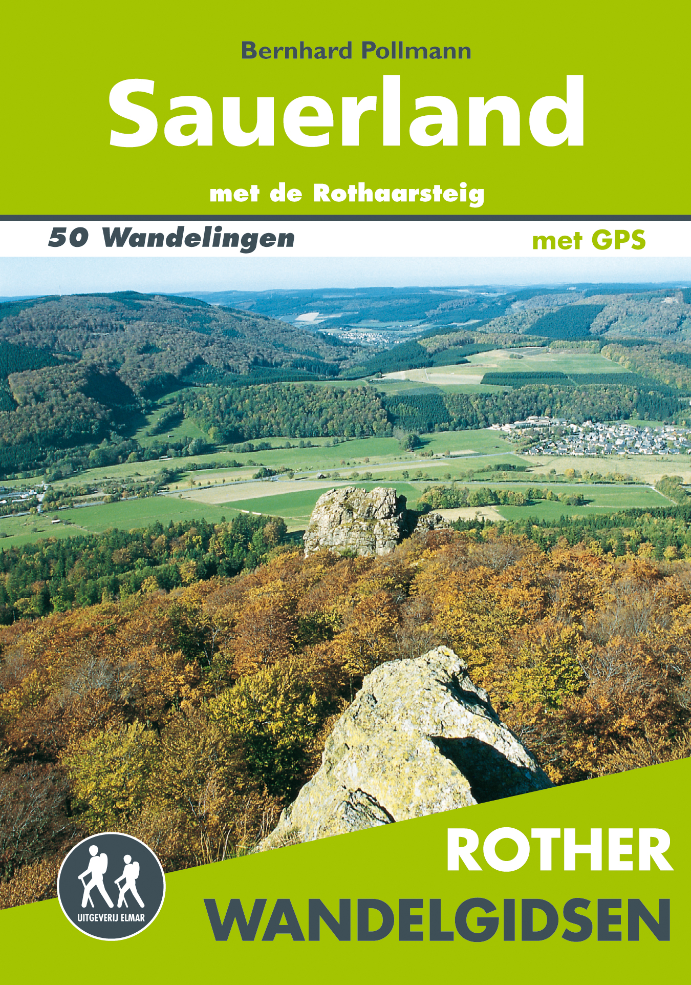
- Wandelgids Sauerland | Uitgeverij Elmar
- met de Rothaarsteig – 50 wandelingen Read more
De Zwerver
Netherlands
2021
Netherlands
2021
Bol.com
Netherlands
Netherlands
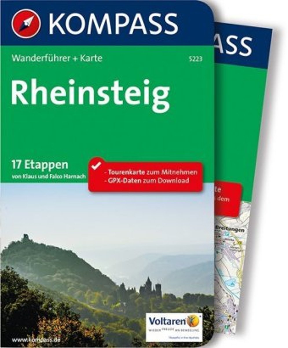
- WF1080 Rheinsteig Kompass
- 17 Etappen auf 320 km LängeDe Kompass wandelgids + kaart geeft een overzicht van alle wandelroutes in het gebied met nauwkeurige routeaanwijzingen en hoogteaanduidingen, De extra grote kaart, schaal 1:35 000, is ideaal om van te voren uw route uit te stippelen en om onderweg te gebruiken • naast de bekende bestemmingen, worden ook de minder... Read more
- Also available from:
- Bol.com, Belgium
Bol.com
Belgium
Belgium
- WF1080 Rheinsteig Kompass
- 17 Etappen auf 320 km LängeDe Kompass wandelgids + kaart geeft een overzicht van alle wandelroutes in het gebied met nauwkeurige routeaanwijzingen en hoogteaanduidingen, De extra grote kaart, schaal 1:35 000, is ideaal om van te voren uw route uit te stippelen en om onderweg te gebruiken • naast de bekende bestemmingen, worden ook de minder... Read more
Bol.com
Netherlands
2014
Netherlands
2014
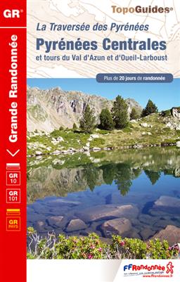
- Pyrenees Centrales et Tour du Val d'Azun GR10/101 Plus de 20 Jours de Randonnee
- 15 jours en hauteur, d'Arrens à Melles. Inclus le tour du Val d'Azun. Le sentier franchit plusieurs cols dépassant les 2000 mètres, qui offrent de magnifiques points de vue sur le Pic du Midi de Bigorre, le Pic Long ou le Pic de Bacanère. Mais il longe aussi des bassins au doux relief, ouverts à la lumière comme à Luz-St-Sauveur ou... Read more
- Also available from:
- Bol.com, Belgium
Bol.com
Belgium
2014
Belgium
2014
- Pyrenees Centrales et Tour du Val d'Azun GR10/101 Plus de 20 Jours de Randonnee
- 15 jours en hauteur, d'Arrens à Melles. Inclus le tour du Val d'Azun. Le sentier franchit plusieurs cols dépassant les 2000 mètres, qui offrent de magnifiques points de vue sur le Pic du Midi de Bigorre, le Pic Long ou le Pic de Bacanère. Mais il longe aussi des bassins au doux relief, ouverts à la lumière comme à Luz-St-Sauveur ou... Read more
Bol.com
Netherlands
2019
Netherlands
2019
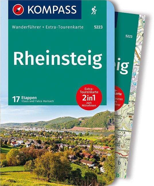
- WF5223 Rheinsteig Kompass
- De Kompass wandelgids + kaart geeft een overzicht van alle wandelroutes in het gebied met nauwkeurige routeaanwijzingen en hoogteaanduidingen, De extra grote kaart, schaal 1:35 000, is ideaal om van te voren uw route uit te stippelen en om onderweg te gebruiken • naast de bekende bestemmingen, worden ook de minder bekende vermeld • openbaar... Read more
- Also available from:
- Bol.com, Belgium
- De Zwerver, Netherlands
Bol.com
Belgium
2019
Belgium
2019
- WF5223 Rheinsteig Kompass
- De Kompass wandelgids + kaart geeft een overzicht van alle wandelroutes in het gebied met nauwkeurige routeaanwijzingen en hoogteaanduidingen, De extra grote kaart, schaal 1:35 000, is ideaal om van te voren uw route uit te stippelen en om onderweg te gebruiken • naast de bekende bestemmingen, worden ook de minder bekende vermeld • openbaar... Read more
De Zwerver
Netherlands
2019
Netherlands
2019
- Wandelgids 5223 Wanderführer Rheinsteig - Siebengebirge, Rheinisches Schiefergebirge, Taunus, Rheingau. | Kompass
- Wanderführer mit Extra Tourenkarte zum Mitnehmen. Read more
De Zwerver
Netherlands
2020
Netherlands
2020
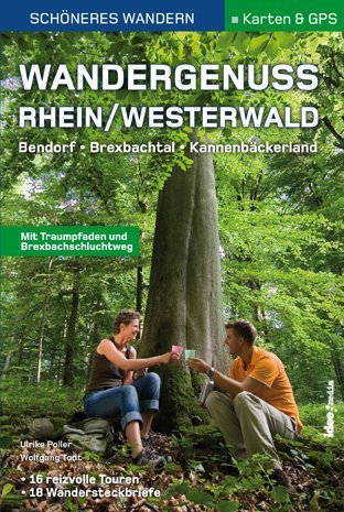
- Wandelgids Wandergenuss Rhein/Westerwald | IdeeMedia
- 365 Kilometer Wandergenuss von Perl bis Koblenz. Smartphone-Anbindung. Aktuellste GPS-Daten Read more
Maps

Stanfords
United Kingdom
United Kingdom
- Alpe di San Benedetto 21
- Map No. 21, Alpe di San Benedetto: Passo del Muraglione – San Godenzo – Dicomano, in series of contoured, GPS compatible hiking maps at 1:25,000 from the Istituto Geografico Adriatico, covering mainly the spine of the Apennines along the borders of Tuscany, Emilia-Romagna, Umbria and the Marches.Map in this series have contours at 25m intervals... Read more

Stanfords
United Kingdom
United Kingdom
- Monte Carpegna - Sasso di Simone
- Map No. 16, Monte Carpegna - Sasso di Simone, in series of contoured, GPS compatible hiking maps at 1:25,000 from the Istituto Geografico Adriatico, covering mainly the spine of the Apennines along the borders of Tuscany, Emilia-Romagna, Umbria and the Marches.Map in this series have contours at 25m intervals with additional shading and... Read more

Stanfords
United Kingdom
United Kingdom
- The Ruhr East
- The Ruhr East on a waterproof, tear-resistant, GPS compatible cycling map at 1:75,000 from the ADFC (Allgemeiner Deutscher Fahrrad-Club - the official German cycling federation), in a series of maps with extensive overprint for long-distance and local cycling routes. GPS waypoints, route profiles, details of online links for information about... Read more

Stanfords
United Kingdom
United Kingdom
- Alta Valle del Lamone 22
- Map No. 22, Alta Valle del Lamone: Alto Appennino Faentino – Anello di Marradi, in series of contoured, GPS compatible hiking maps at 1:25,000 from the Istituto Geografico Adriatico, covering mainly the spine of the Apennines along the borders of Tuscany, Emilia-Romagna, Umbria and the Marches.Map in this series have contours at 25m intervals... Read more

Stanfords
United Kingdom
United Kingdom
- Foreste Casentinesi NP Monti Editore 20
- Map No. 20, Foreste Casentinesi: Campigna, Camaldoli, Chiusi dell Verna, in series of contoured, GPS compatible hiking maps at 1:25,000 from the Istituto Geografico Adriatico, covering mainly the spine of the Apennines along the borders of Tuscany, Emilia-Romagna, Umbria and the Marches.Map in this series have contours at 25m intervals with... Read more

Stanfords
United Kingdom
United Kingdom
- Appennino Tosco-Romagnolo East
- Map No. 135, Appennino Tosco-Romagnolo East, in a series of GPS compatible hiking maps at 1:50,000 from the Istituto Geografico Adriatico, covering parts of central Italy: eastern Tuscany, with northern Umbria and the Marches, plus the south-eastern of part of Emilia-Romagna.The maps have contours at 50m intervals with additional shading and... Read more

Stanfords
United Kingdom
United Kingdom
- Hohe Mark Naturpark - Westmunsterland 2-Map Set Kompass 753
- Hohe Mark Regional Park in a detailed, GPS compatible map at 1:50,000 from Kompass with local and long-distance footpaths, cycling routes, accommodation, etc.KOMPASS HIKING & RECREATIONAL MAPS:This title is part of an extensive series covering Austria, much of Germany and the Slovenian Alps. Kompass are Europe’s largest publishers of hiking... Read more
Stanfords
United Kingdom
United Kingdom
- Alta Val Tiberina
- Map No. 125, Alta Val Tiberina, in a series of GPS compatible hiking maps at 1:50,000 from the Istituto Geografico Adriatico, covering parts of central Italy: eastern Tuscany, with northern Umbria and the Marches, plus the south-eastern of part of Emilia-Romagna.The maps have contours at 50m intervals with additional shading and numerous spot... Read more

Stanfords
United Kingdom
United Kingdom
- Hermannsweg und Eggeweg - die Hermannshohen Kompass Long-distance Trail Map 2504
- Hermannsweg plus Eggeweg, a combined 218km long-distance hiking trail in north-western Germany between Rheine and Marsberg along the Teutoburger Wald and hills of the Eggegebirge. The route is presented on 18 panels, accompanied by street plans of Rheine, Bielefeld, Horn-Bad Mainberg and Marsberg.Maps in this new series from Kompass, begun in... Read more
Stanfords
United Kingdom
2022
United Kingdom
2022
- Eifelsteig long-distance Trail Kompass 2502
- The Eifelsteig, a 310km long-distance hiking trail from Kornelimünster near Aachen to Trier, crossing some of the most picturesque towns of the Eifel, including Monschau, Blankenheim, Gerolstein and Daun. The route is presented on 18 panels, accompanied by street plans of Kornelimünster, Monschau, Gerolstein and Trier.Maps in this new series... Read more

Stanfords
United Kingdom
United Kingdom
- Cologne - Bonn
- Cologne – Bonn on a waterproof, tear-resistant, GPS compatible cycling map at 1:75,000 from the ADFC (Allgemeiner Deutscher Fahrrad-Club - the official German cycling federation), in a series of maps with extensive overprint for long-distance and local cycling routes. GPS waypoints, route profiles, details of online links for information about... Read more

Stanfords
United Kingdom
United Kingdom
- Pegnitz E11
- Pegnitz in a series of GPS compatible recreational editions of the Bavarian topographic survey at 1:25,000, with waymarked hiking trails and cycling routes, campsites and youth hostels, etc. Coverage includes Creußen, Ahorntal, Pottenstein, Glashütten, Hummeltal, Schnabelwaid.Contours used in this map vary between 5 to 20m according to the... Read more
Stanfords
United Kingdom
United Kingdom
- Riviera Cesenate - San Marino
- Map No. 128, Riviera Cesenate - San Marino, in a series of GPS compatible hiking maps at 1:50,000 from the Istituto Geografico Adriatico, covering parts of central Italy: eastern Tuscany, with northern Umbria and the Marches, plus the south-eastern of part of Emilia-Romagna.The maps have contours at 50m intervals with additional shading and... Read more
Stanfords
United Kingdom
United Kingdom
- Alta Valle del Santerno 23
- Map No. 22, Alta Valle del Lamone: Alto Appennino Faentino – Anello di Marradi, in series of contoured, GPS compatible hiking maps at 1:25,000 from the Istituto Geografico Adriatico, covering mainly the spine of the Apennines along the borders of Tuscany, Emilia-Romagna, Umbria and the Marches.Map in this series have contours at 25m intervals... Read more
Stanfords
United Kingdom
United Kingdom
- Colline di Rimini
- Map No. 124, Colline di Rimini, in a series of GPS compatible hiking maps at 1:50,000 from the Istituto Geografico Adriatico, covering parts of central Italy: eastern Tuscany, with northern Umbria and the Marches, plus the south-eastern of part of Emilia-Romagna. This title covers the holiday resorts on the Adriatic coast around Rimini,... Read more