Töddenweg
Description
- Name Töddenweg
- Length of trail 123 km, 76 miles
- Length in days 5 days
- Start of trail Bad Bentheim
- End of trail Osnabrück
- Traildino grading EW, Easy walk, nature trail
Border – Bad Bentheim – Osnabrück, 123 km, 6 days
In the 17th and 18th centuries there was a very peculiar but also flourishing trade between Germany and the Netherlands, even extending into Belgium, France and Denmark. The traders and craftsmen earned their living by wandering around between designated areas with their merchandise on their back. In Germany these men were called "Tödden", and in the Netherlands "Teut", hence “Töddenweg”. It was a well organized and a closed trading system. These guys were a special brand of "Pedlar", which is a more general description of a tradesperson on foot.
We know that many Tödden worked between Osnabrück and the Netherlands. The Töddenweg formally ends at the border. But across the border, in the Netherlands, the way continues by a different name - Marskramerpad (Pedlar Way) - to Deventer. The Dutch and German parts together are called Handelsweg. Osnabrück and Deventer both have a historic center dating back to the Middle Ages, ages before the era of the Tödden.
The trail passes through woods, tree lined alleys, small villages and historic towns.
The European Long Distance Trail E11 follows the same trail. In the Netherlands this is the Marskramerpad and in Germany the Töddenweg till Osnabrück.
Links
Facts
Reports
Guides and maps
Lodging
Organisations
Tour operators
GPS
Other
Maps

Netherlands
2014
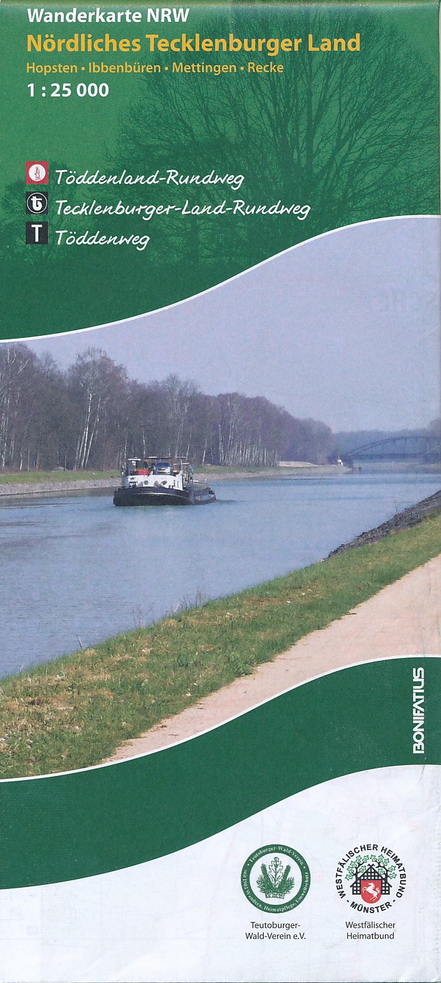
- Wandelkaart Nördliches Tecklenburger Land | NRW Bonifatius
- Gedetailleerde topografische wandelkaart, vele routes ingetekend. Das Tecklenburger Land, in dem die wichtigsten Orte durch den 136 km langen Tecklenburger-Land-Rundweg (weißes "t" auf schwarzem Grund) verbunden werden, liegt im Kreis Steinfurt und grenzt im Norden und Osten an das Nachbarland Niedersachsen an. Sein nördlicher Bereich... Read more


