
Marskramerpad
Description
- Name Marskramerpad (LAW3)
- Length of trail 360 km, 224 miles
- Length in days 18 days
- Start of trail Bad Bentheim (D)
- End of trail Den Haag
- Traildino grading LW, Light walk, countryside walk


LAW3, E11, Marskramerpad: Oldenzaal - Den Haag, 320 km
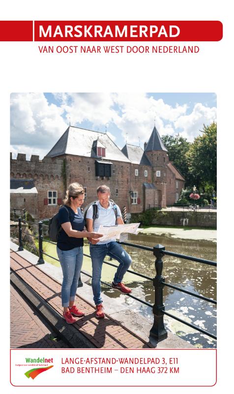
The Dutch Republic became a global power shipping merchandise (ranging from spices to slaves) all over the world. Behind the scenes a more humble trade was going on. The 'pedlars path' is dedicated to the memory of those businesspeople enterprising and firm enough to carry their goods from village to village and from farm to farm. Pedlars sold their goods all around the country, but this 'pedlars path' is situated in the centre. It takes you from the eastern town of Oldenzaal, historically an important junction in the traditional trade network connecting Holland and Germany, all the way to the capital Den Haag in the west. Today the bulk of goods is delivered by truck, train and container ship. This means the old pedlars trails are left deserted and quiet, although from time to time the inevitable happens: you have to face the presence of modern infrastructure. Apart from that, you will follow country roads through lovely landscapes, visiting old market towns and charming villages, all helping you to imagine what a pedlars life was all about.
The Marskramerpad or LAW 3 runs from the town of Oldenzaal near the German border, passing through Deventer, Amersfoort and Leiden, and finally to the city of Den Haag near the North Sea coast. LAW 3 coincides with the Dutch section of the European Long Distance Trail E 11, which runs from Den Haag to the Polish border with Lithuania.
From Oldenzaal onwards, the path constitutes, together with the German Töddenweg, the Handelsweg. (DB)
Map

Links
Facts
Reports
Guides and maps
Lodging
Organisations
Tour operators
GPS
Other
Books
Netherlands
2021