GR654 - Via Lemovicensis
Description
- Name GR654 - Via Lemovicensis (GR654)
- Length of trail 900 km, 559 miles
- Length in days 36 days
- Start of trail Vézelay
- End of trail Ostabat
- Traildino grading EW, Easy walk, nature trail


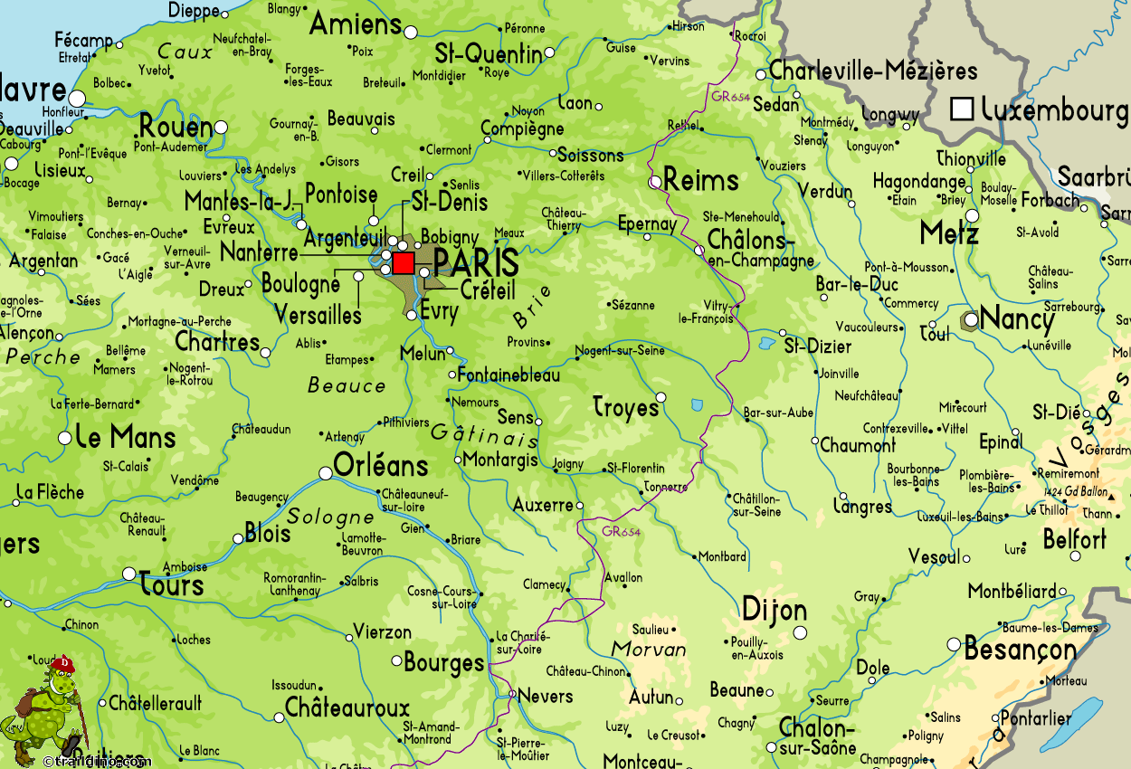
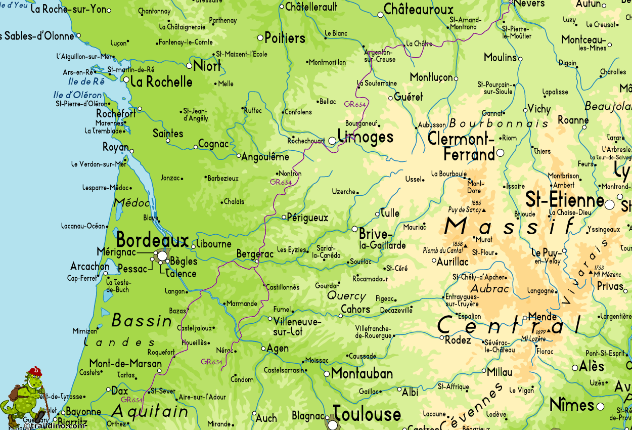
 Via Lemovicensis, Vézalay - Ostabat. 900 km, 36 days
GR654, (Namur - ) Rocroi - Vézelay - Montréal, 1500 km, 60 days, add another 200 km to Ostabat via GR65, or Rocroi - Vézelay - Ostabat, 1650 km, 66 days
The Via Lemovicensis or Voie de Vézelay, is one of the pilgrimage routes in France to Santiago de Compostela. It comes in two main flavours and several varieties. Let’s explain this.
The official Via Lemovicensis follows the historical Way to the Pyrenees and Santiago. There are many towns, cities, beautiful churches etc. on this trail. The total length from Vézelay to the Spanish frontier, Ostabat, is 900 km. One itinerary goes over Nevers. A second one over Bourges. They soon run together again.
Of course, pilgrims from Holland, Belgium and western Germany have to walk to Vézelay first. Here comes in the GR654. It officially connects Namur in Belgium with Vézelay in France. The first part - Namur to the French village of Rocroi - is also covered by the Via Monastica. continuing from Rocroi to Vézelay is 540 km.
In Vézelay, the GR654 is taking a different course from the Via Lemovicensis. The GR654 is much longer, because it avoids busy roads: "the meandering route that has little to do with historical pilgrimage routes", Peter Robins writes on his website. It is geared towards hikers, more than towards pilgrims. One alternative goes to Montréal, 952 km. Form there, it is another 200 km via the GR65 to Ostabat, the Spanish frontier. A second alternative takes a western direction and goes directly to Ostabat, about 900 km from the start in Vézelay.
This route is popular with walkers and pilgrims from Netherlands, Belgium and Germany. It is a pretty route, passing many attractive regions in France.
Visit Traildino's overview page for the Way of Saint James / Camino de Santiago.
Map
Links
Facts
Reports
Guides and maps
Lodging
Organisations
Tour operators
GPS
Other
Books

United Kingdom
2015
- GR654 Chemins de St-Jacques: Vézelay - Périgueux FFRP Topo-guide No. 6542
- Chemins de St-Jacques: Vézelay - Périgueux, FFRP topoguide Ref. no. 6542, covering the 744km route along the GR654 the Way of St. Jamezs from Vézelay via Limoges to Périgueux. Current edition of this title was published in March 2015.ABOUT THE FFRP (Fédération française de la randonnée pédestre) TOPOGUIDES: published in a handy A5 paperback... Read more

United Kingdom
2015
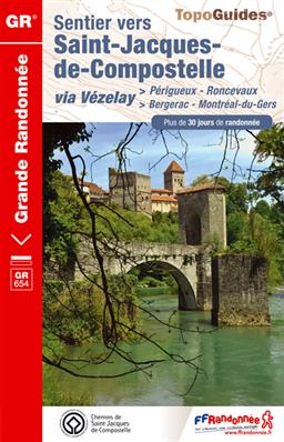
- GR654 Sentier St-Jacques: Perigueux - Roncevaux FFRP Topo-guide No. 6543
- Sentier St-Jacques: Perigueux - Roncevaux, FFRP topoguide Ref. no. 6543, covering the second part of the Way of St James route along the GR654 which starts in Vézelay, the section from Perigueux to the Pyrenees. Also covered is an eastern route from Bergerac to Montréal-de-Gers. Current edition of this title was published in June 2014.ABOUT THE... Read more
- Also available from:
- De Zwerver, Netherlands
Netherlands
2015
- Wandelgids 6543 Sentier vers Saint-Jacques-de-Compostelle via Vezelay : Périgueux - Roncevaux - GR654 | FFRP
- Guide FFRandonnée Sentier vers St-Jacques-de-Compostelle : Périgueux-Ronceveaux. GR 654. Voie de Vézelay vers Compostelle : suite de l'itinéraire décrit dans le topo-guide réf. 6542 'Sentier vers St-Jacques-de-Compostelle : Vézelay-Périgueux'.Passé le seuil du Périgord blanc,... Read more

Netherlands
2017
- Wandelgids Pelgrimsweg van Vezelay naar St.Jean-pied-de-Port via Nevers | Nederlands Genootschap van Sint Jacob
- Opvallende goede gids van dit deel van de St. Jacobsroute: men heeft goed kaartmateriaal gebruikt waar de route keurig op staat ingetekend. Ook een uitgebreide beschrijving ontbreekt niet .... alleen jammer dat het niet met een ringband is uitgevoerd. Deze gids beschrijft de route vanaf Vézelay tot St.Jean-Pied-de-Port en is gebaseerd op de... Read more

Netherlands
2017
- Wandelgids Pelgrimsweg van Vezelay naar St.Jean-pied-de-Port via Bourges | Nederlands Genootschap van Sint Jacob
- Opvallende goede gids van dit deel van de St. Jacobsroute: men heeft goed kaartmateriaal gebruikt waar de route keurig op staat ingetekend. Ook een uitgebreide beschrijving ontbreekt niet .... alleen jammer dat het niet met een ringband is uitgevoerd. Deze gids beschrijft de route vanaf Vézelay tot St.Jean-Pied-de-Port en is gebaseerd op de... Read more


