
Camino Francés
Description
- Name Camino Francés
- Length of trail 800 km, 497 miles
- Length in days 32 days
- Start of trail Saint-Jean-Pied-de-Port / Roncesvalles
- End of trail Santiago de Compostela
- Traildino grading EW, Easy walk, nature trail


Camino Francés (GR65), Roncesvalles / Saint-Jean-Pied-de-Port - Puente la Reina - Santiago de Compostela, 800 km, 32 days
This is the classical and most popular Way of St. James, running from the Pyrenees through the plains of northern Spain to Santiago de Compostela. It all began here. Nowadays, there are hundreds of waymarked Ways of St. James, some 30 in Spain alone. The classical Camino Francés is an easy path. If you like mixing with scores of other pilgrims, this is still your best bet. If you are more the type of a lonely hiker, there are better alternatives, like the coastal route.
The path has also an official GR number in Spain: GR65 Camino de Santiago. Note that there is also the GR65-5 in Catalunya (Camino de Tarragona) and the GR65-3 in the central Pyrenees (Camino Aragonés).
Visit Traildino's overview page for the Way of Saint James / Camino de Santiago.
Links
Facts
Reports
Guides and maps
Lodging
Organisations
Tour operators
GPS
Other
Books

United Kingdom
- Call of the Camino
- The experiences of an ordinary man on the pilgrim`s path are charted in this narrative that walks along the Camino Frances to the shrine of Saint James at Santiago de Compostela and then on to Finisterre, the westernmost point of Spain. The history of the Camino is recounted, as well as several of the myths, legends, and miracle stories that... Read more

United Kingdom
2022
- Camino De Santiago
- SantiagoCamino Frances: St. Jean - Santiago - Finisterre Read more

United Kingdom
2023
- A Pilgrim's Guide to the Camino De Santiago
- Camino Frances St. Jean Pied De Port - Santiago Read more

United Kingdom
2020
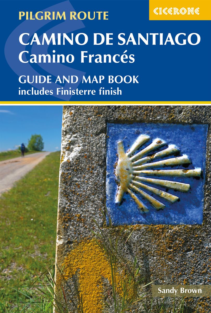
- Camino de Santiago: Camino Frances
- Guide and map book - includes Finisterre finish Read more
- Also available from:
- De Zwerver, Netherlands
Netherlands
2020
- Wandelgids - Pelgrimsroute Camino de Santiago - Camino Frances | Cicerone
- Guidebook and map book to walking the 784km Camino Frances from St Jean-Pied-de-Port in southern France to Santiago de Compostela in Spain, including an additional route to Finisterre. Split into 6 sections and 36 customisable stages, the guide lists over 500 pilgrim hostels. The map book covers the entire route, which can be walked in 4-5 weeks. Read more

United Kingdom
- Walking Notes Camino Frances
- Day to day from St. Jean Pied de Port to Santiago de Compostela Read more

United Kingdom
- Walk Together and Take Care of One Another
- Our Time on the Camino Frances Read more
Netherlands
2013
- Spanien: Jakobsweg Camino Franc s
- Der Camino Franc s, f hrt den Pilger von Saint-Jean-Pied-de-Port ber die H hen der Pyren en und weiter durch die Weinberge der Rioja in die einsamen Weiten der Hochebenen der Meseta Kastiliens. Nachdem der Pilger die gr nen Berge und T ler Galiciens durchquert hat erreicht er nach gut 800 m Santiago de Compostela. Nicht wenige treibt es von... Read more
- Also available from:
- Bol.com, Belgium
- De Zwerver, Netherlands
Belgium
2013
- Spanien: Jakobsweg Camino Franc s
- Der Camino Franc s, f hrt den Pilger von Saint-Jean-Pied-de-Port ber die H hen der Pyren en und weiter durch die Weinberge der Rioja in die einsamen Weiten der Hochebenen der Meseta Kastiliens. Nachdem der Pilger die gr nen Berge und T ler Galiciens durchquert hat erreicht er nach gut 800 m Santiago de Compostela. Nicht wenige treibt es von... Read more
Netherlands
2013

United Kingdom
2007
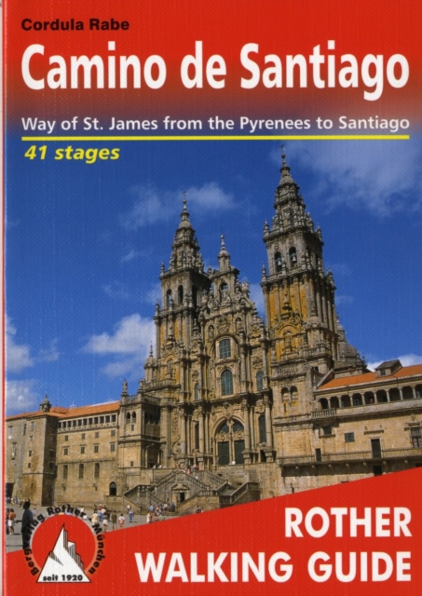
- Camino de Santiago Rother Guide
- The Rother walking guide to the Spanish Camino de Santiago has been so popular in such a short space of time that this new second edition has been prepared after only one year. In a total of 41 stages the whole of the Camino francés is described from Saint-Jean-Pied-de-Port via Roncesvalles, as well as the Aragon route from the Somport pass via... Read more
- Also available from:
- The Book Depository, United Kingdom
- Bol.com, Netherlands
- Bol.com, Belgium
- De Zwerver, Netherlands

United Kingdom
2007
- Camino de Santiago walking g. 42W Pyrenees to Santiago 2019
- The Rother walking guide to the Spanish Camino de Santiago has been so popular in such a short space of time that this new second edition has been prepared after only one year. In a total of 41 stages the whole of the Camino franc Read more
Netherlands
2007
- Camino De Santiago
- nThis walking guide deals with the whole of the Camino de Santiago (Camino franc s) from the Pyrenees to Santiago de Compostela as well as the continuation to Finisterre and Muxfa on the Galician coast. The start of the Way of St. James is described from Saint-Jean-Pied-de-Port via Roncesvalles (Camino navarro) and also from the Somport pass... Read more
Belgium
2007
- Camino De Santiago
- nThis walking guide deals with the whole of the Camino de Santiago (Camino franc s) from the Pyrenees to Santiago de Compostela as well as the continuation to Finisterre and Muxfa on the Galician coast. The start of the Way of St. James is described from Saint-Jean-Pied-de-Port via Roncesvalles (Camino navarro) and also from the Somport pass... Read more
.jpg)
Netherlands
2019
- Wandelgids Camino de Santiago - Jakobsweg - Sint Jacobs route | Rother Bergverlag
- The Rother walking guide to the Spanish Camino de Santiago has been so popular in such a short space of time that this new second edition has been prepared after only one year. In a total of 41 stages the whole of the Camino franc Read more
Netherlands
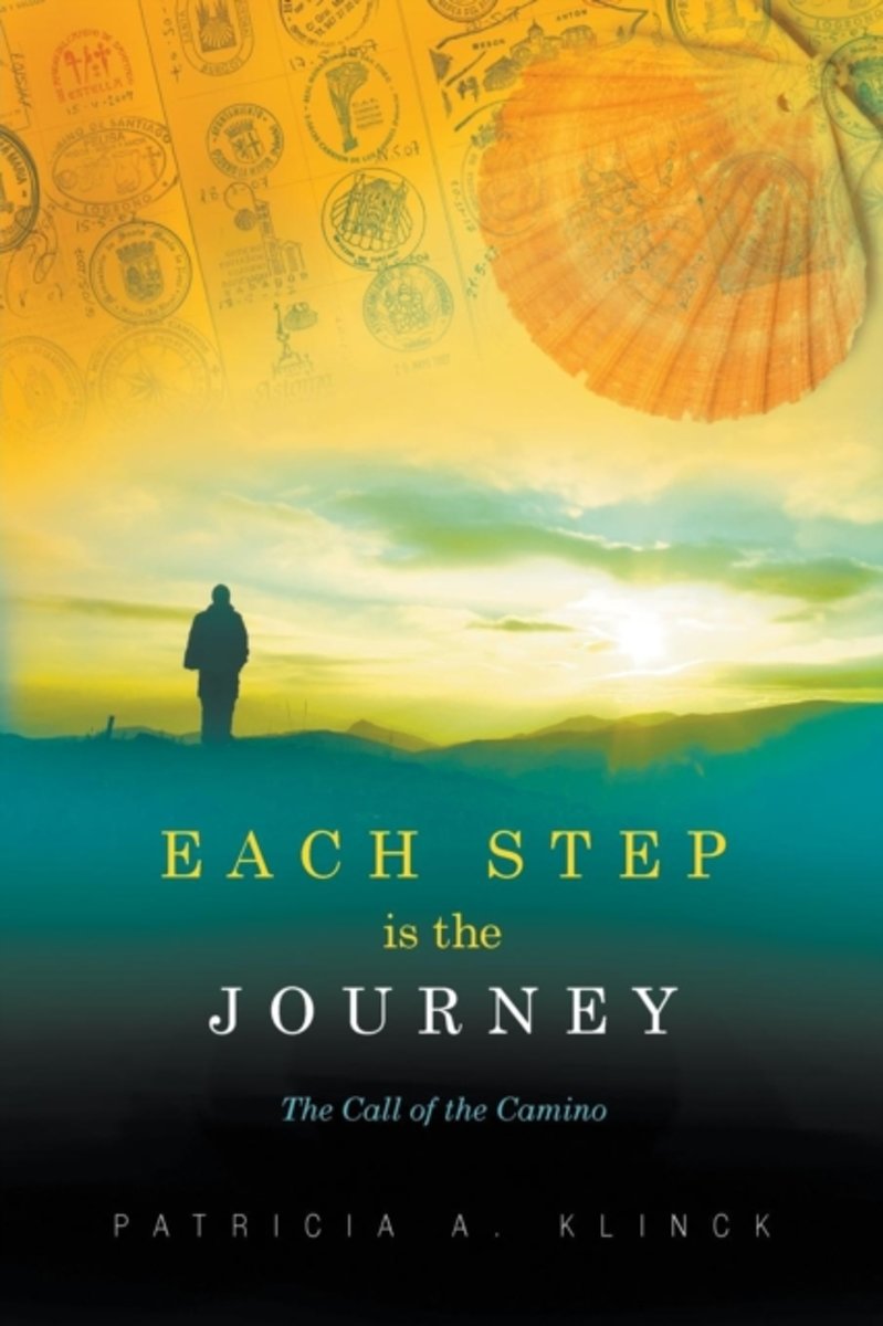
- Each Step Is the Journey
- The origins of the Camino de Santiago cannot be found in books. Its story is woven from legends and myths told by the ancients over the centuries and retold by pilgrims. Those who answer its call are often in search of a greater good, a more powerful truth, a fuller understanding. But what is its true meaning? What can this age-old pilgrimage ... Read more
- Also available from:
- Bol.com, Belgium
Belgium
- Each Step Is the Journey
- The origins of the Camino de Santiago cannot be found in books. Its story is woven from legends and myths told by the ancients over the centuries and retold by pilgrims. Those who answer its call are often in search of a greater good, a more powerful truth, a fuller understanding. But what is its true meaning? What can this age-old pilgrimage ... Read more
Netherlands
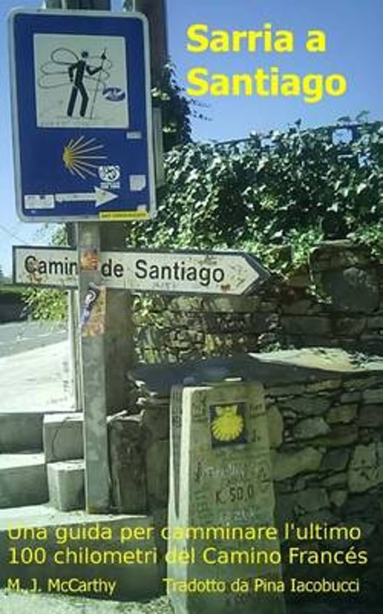
- Sarria a Santiago (Versione Italiana)
- Questo libro fornisce una guida completa per pianificare il vostro pellegrinaggio da Sarria a Santiago di Compostela. Esso contiene dettagli di 120 albergues (ostelli del pellegrino) compreso l'indirizzo, numeri di telefono, email, indirizzo web, gli orari di apertura e le coordinate GPS. Contiene suggerito mappe passeggiate quotidiane cosi... Read more
- Also available from:
- Bol.com, Belgium
Belgium
- Sarria a Santiago (Versione Italiana)
- Questo libro fornisce una guida completa per pianificare il vostro pellegrinaggio da Sarria a Santiago di Compostela. Esso contiene dettagli di 120 albergues (ostelli del pellegrino) compreso l'indirizzo, numeri di telefono, email, indirizzo web, gli orari di apertura e le coordinate GPS. Contiene suggerito mappe passeggiate quotidiane cosi... Read more
Netherlands
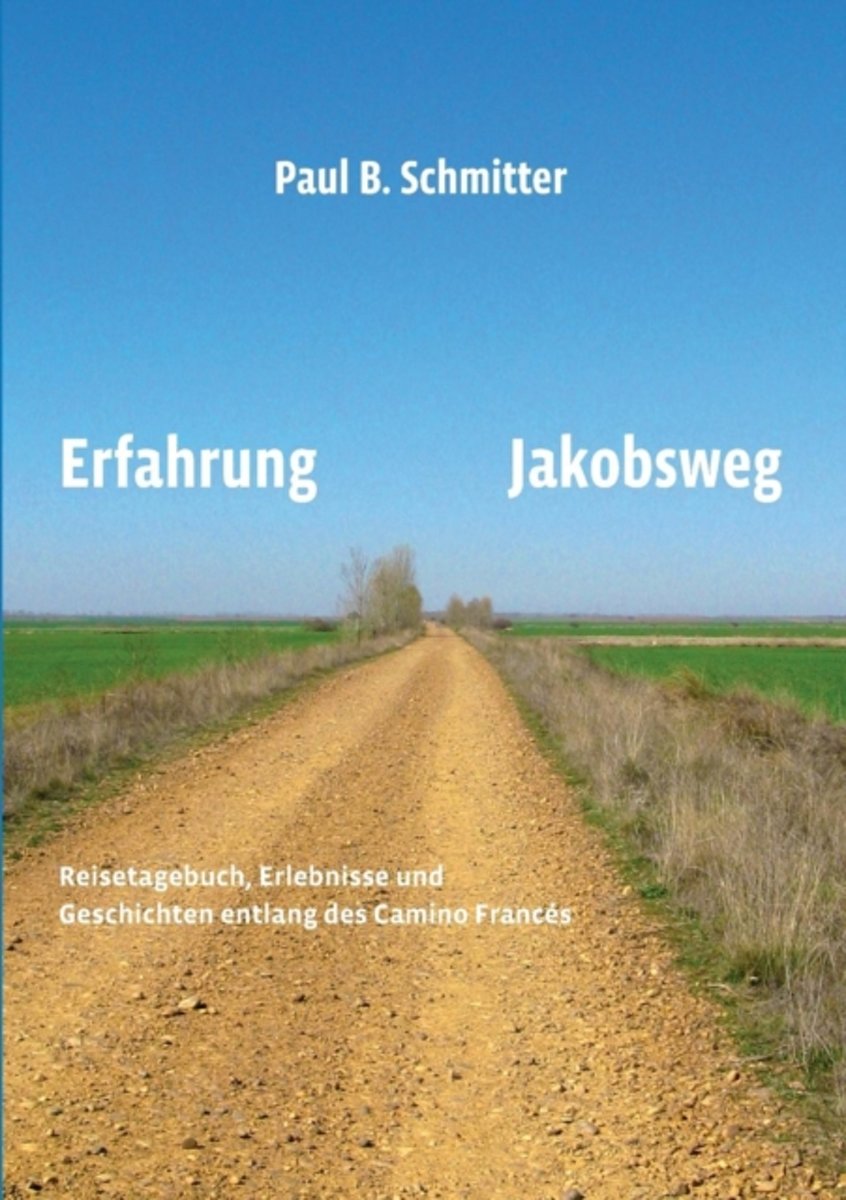
- Erfahrung Jakobsweg
- Faszination Jakobsweg Was reizt Menschen daran, den Jakobsweg zu gehen, v llig unabh ngig von Alter, Nation, Kultur, Religion oder politischen Ansichten? Begleiten Sie den Autor bei seinem" Jakobsweg von St. Jean Pied de Port nach Santiago de Compostela und weiter nach Cabo Fisterra. Von Etappe zu Etappe wechseln Landschaft, Wegf hrung und... Read more
- Also available from:
- Bol.com, Belgium
Belgium
- Erfahrung Jakobsweg
- Faszination Jakobsweg Was reizt Menschen daran, den Jakobsweg zu gehen, v llig unabh ngig von Alter, Nation, Kultur, Religion oder politischen Ansichten? Begleiten Sie den Autor bei seinem" Jakobsweg von St. Jean Pied de Port nach Santiago de Compostela und weiter nach Cabo Fisterra. Von Etappe zu Etappe wechseln Landschaft, Wegf hrung und... Read more
Netherlands
2018
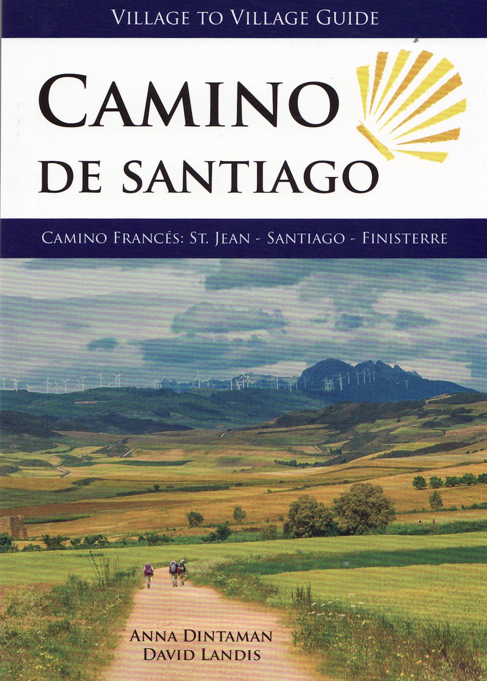
- Camino de Santiago - Village to Village Guide
- Since medieval times, more than a million pilgrims have followed the Way of St James across northern Spain on the Camino de Santiago. This guidebook contains all the informationyou need to walk the 800km (500 mile) Camino Frances and the 90km (55mile) Camino Finisterre. - Full colour detailed topogrphical stage maps of each days walk with free... Read more
- Also available from:
- Bol.com, Belgium
Belgium
2018
- Camino de Santiago - Village to Village Guide
- Since medieval times, more than a million pilgrims have followed the Way of St James across northern Spain on the Camino de Santiago. This guidebook contains all the informationyou need to walk the 800km (500 mile) Camino Frances and the 90km (55mile) Camino Finisterre. - Full colour detailed topogrphical stage maps of each days walk with free... Read more
Netherlands
2012
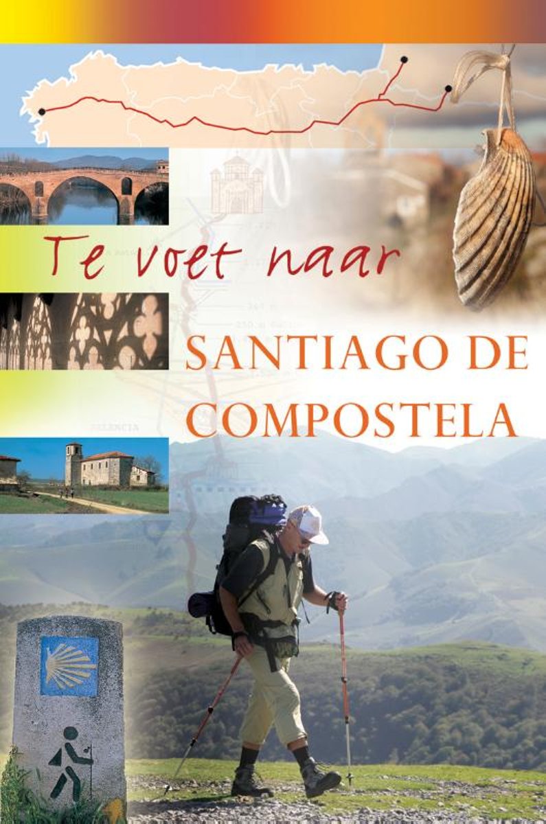
- Te voet naar Santiago de Compostela
- In deze gids vindt u uitgebreide en praktische informatie voor uw pelgrimstocht naar Santiago de Compostela. Het visuele karakter van de gids en de nauwkeurigheid van de kaarten bij elke etappe zorgen dat er geen twijfel ontstaat met betrekking tot de juiste richting. In de gids zijn ook etappeprofielen opgenomen zodat u van tevoren al weet hoe... Read more
- Also available from:
- Bol.com, Belgium
Belgium
2012
- Te voet naar Santiago de Compostela
- In deze gids vindt u uitgebreide en praktische informatie voor uw pelgrimstocht naar Santiago de Compostela. Het visuele karakter van de gids en de nauwkeurigheid van de kaarten bij elke etappe zorgen dat er geen twijfel ontstaat met betrekking tot de juiste richting. In de gids zijn ook etappeprofielen opgenomen zodat u van tevoren al weet hoe... Read more
Netherlands
2016
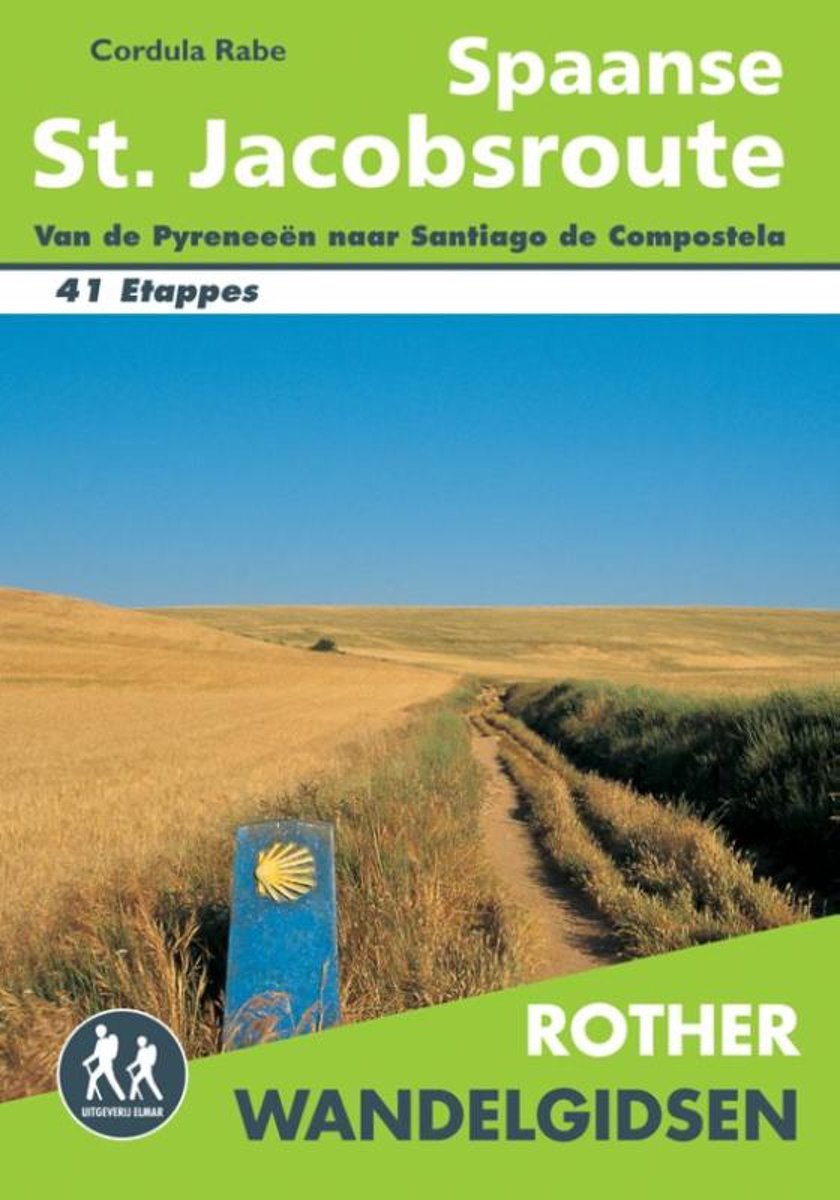
- Rother Wandelgidsen - Spaanse St. Jacobsroute
- Deze wandelgids beschrijft de Spaanse St. Jacobsroute in 41 wandelingen met betrouwbare routebeschrijvingen, gedetailleerde wandelkaarten en informatieve hoogteprofielen. Ook geeft deze wandelgids voor Spanje uitgebreide praktische informatie en beschrijvingen van bezienswaardigheden langs de wandelroute. Tips voor het plannen van de... Read more
- Also available from:
- Bol.com, Belgium
Belgium
2016
- Rother Wandelgidsen - Spaanse St. Jacobsroute
- Deze wandelgids beschrijft de Spaanse St. Jacobsroute in 41 wandelingen met betrouwbare routebeschrijvingen, gedetailleerde wandelkaarten en informatieve hoogteprofielen. Ook geeft deze wandelgids voor Spanje uitgebreide praktische informatie en beschrijvingen van bezienswaardigheden langs de wandelroute. Tips voor het plannen van de... Read more
Netherlands
2017
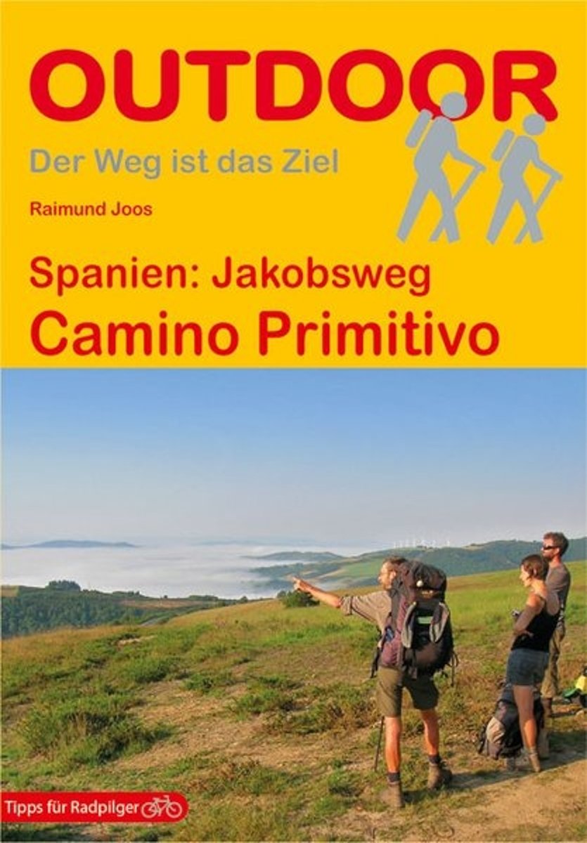
- Spanien: Jakobsweg Camino Primitivo
- Durch die Berge Asturiens und Galiciens führt der Camino Primitivo von Oviedo Richtung Santiago de Compostela. Das Buch beschreibt den Verlauf des ca. 320 km langen Jakobswegs bis Melide, den Weiterweg des Camino Francés bis Santiago und die anschließende Strecke nach Finisterre. Alle Beschreibungen wurden ebenso wie die genauen Angaben zu... Read more
- Also available from:
- Bol.com, Belgium
- De Zwerver, Netherlands
Belgium
2017
- Spanien: Jakobsweg Camino Primitivo
- Durch die Berge Asturiens und Galiciens führt der Camino Primitivo von Oviedo Richtung Santiago de Compostela. Das Buch beschreibt den Verlauf des ca. 320 km langen Jakobswegs bis Melide, den Weiterweg des Camino Francés bis Santiago und die anschließende Strecke nach Finisterre. Alle Beschreibungen wurden ebenso wie die genauen Angaben zu... Read more

Netherlands
2018
- Wandelgids - Pelgrimsroute Camino Primitivo | Conrad Stein Verlag
- Das Buch beschreibt den Verlauf des ältesten, ca. 330 km langen Jakobsweg Camino Primitivo, den weiteren Verlauf des Camino Francés bis Santiago und den anschließenden Weg nach Finisterre. Der Weg über die Berge Asturiens und Galiciens gilt unter Insidern als eine reizvolle Mischung aus Pilgern und Bergwandern. Wenngleich der Weg heute über ein... Read more
Maps

United Kingdom
2010
- Camino de Santiago 50K CNIG Topo 11-Map Box Set
- The whole of Way of St James to Santiago de Compostela in a set of 11 maps: 10 double-sided topographic maps at 1:50,000 plus an overview map of northern Spain, published by the Spanish civilian survey organization.Each 1:50,000 map is double-sided and has four 57 x 35cm panels with full topographic mapping of the area through which the route... Read more

United Kingdom
- Caminos de Santiago / Ways of St. James on the Iberian Peninsula CNIG Overview Map
- All roads leading to Santiago de Compostela in the Iberian Peninsula are represented on this Caminos de Santiago / The Way of St. James Map. Routes highlighted on a physical map of the Iberian Peninsula at 1:1,250,000 from IGN/CNIG, Spain civilian topographic survey organization. The base map with altitude colouring and relief shading provides... Read more
- Also available from:
- De Zwerver, Netherlands

Netherlands
- Pelgrimsroute (kaart) - Wandelkaart Camino de Santiago in Spanje | CNIG - Instituto Geográfico Nacional
- All roads leading to Santiago de Compostela in the Iberian Peninsula are represented on this Caminos de Santiago / The Way of St. James Map. Routes highlighted on a physical map of the Iberian Peninsula at 1:1,250,000 from IGN/CNIG, Spain civilian topographic survey organization. The base map with altitude colouring and relief shading provides... Read more

United Kingdom
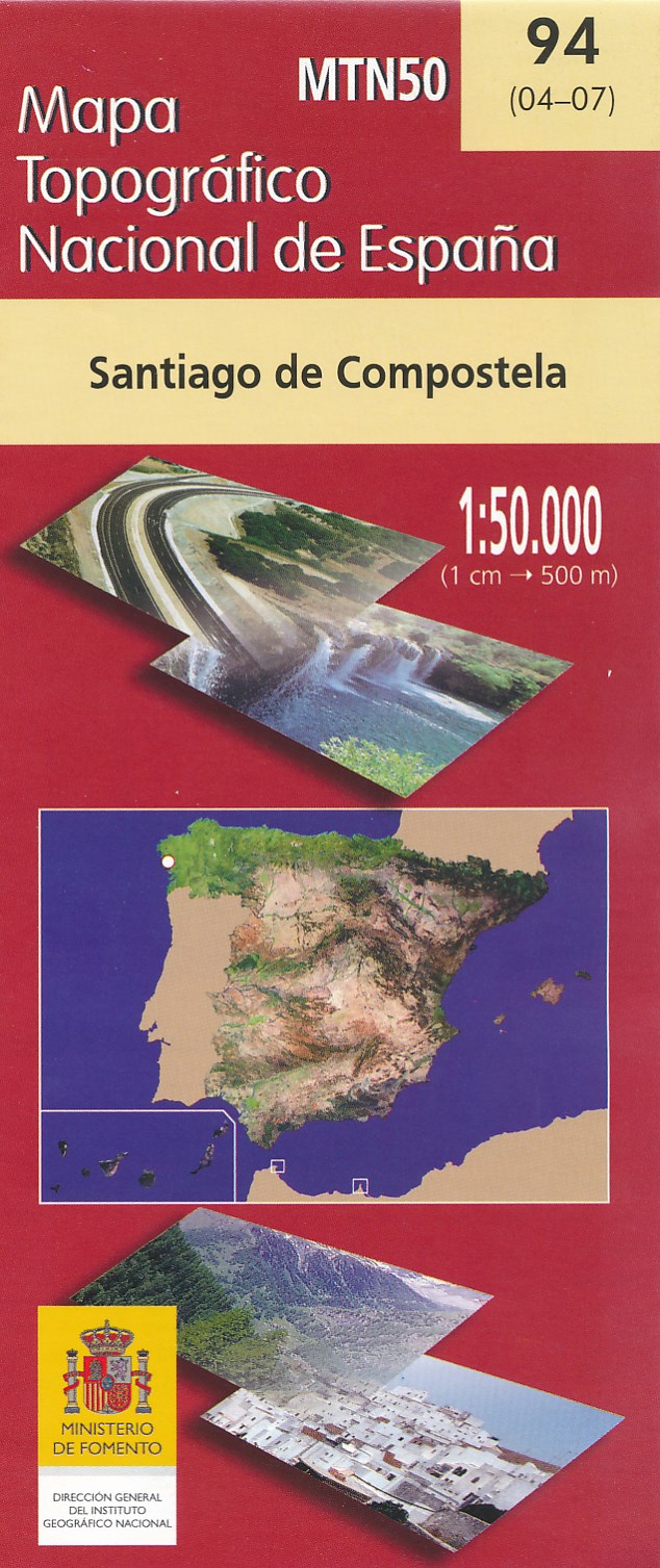
- Santiago de Compostella CNIG Topo 94
- Topographic coverage of mainland Spain at 1:50,000 in the MTN50 (Mapa Topográfico Nacional) series from the Centro Nacional de Información Geografica, the country’s civilian survey organization. The maps have contours at 20m intervals, enhanced by relief shading, plus colouring and/or graphics to show different types of terrain, vegetation or... Read more
- Also available from:
- De Zwerver, Netherlands
Netherlands
- Wandelkaart - Topografische kaart 94 Santiago de Compostela | CNIG - Instituto Geográfico Nacional
- Topographic coverage of mainland Spain at 1:50,000 in the MTN50 (Mapa Topogr Read more

United Kingdom
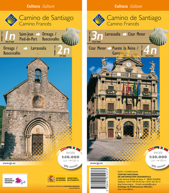
- Camino de Santiago: Stages 1n/2n/3n/4n, Saint-Jean-Pied-de-Port/Puente la Reina 50K CNIG Map
- The Way of St James: Stages 1n/2n/3n/4n, Saint-Jean-Pied-de-Port/Puente la Reina, in a series of double-sided topographic maps at 1:50,000 from the Spanish civilian survey organization, overprinted with the route and sights, plus information of accommodation and other facilities, route profiles, etc.Each 1:50,000 map is double-sided and has... Read more
- Also available from:
- De Zwerver, Netherlands
Netherlands
- Wandelkaart 1n-4n Camino Santiago de Compostella St-Jean - Puente Reina | CNIG - Instituto Geográfico Nacional
- The Way of St James: Stages 1n/2n/3n/4n, Saint-Jean-Pied-de-Port/Puente la Reina, in a series of double-sided topographic maps at 1:50,000 from the Spanish civilian survey organization, overprinted with the route and sights, plus information of accommodation and other facilities, route profiles, etc.Each 1:50,000 map is double-sided and has... Read more

United Kingdom
- Way of St James / Camino de Santiago CNIG Overview Map
- Northern Spain on an overview map at 1:500,000 highlighting the course of the Camino Francés route of the Way of St James from the Pyrenees to Santiago de Compostela via Burgos and León. Published by Spain’s civilian survey organization as part of their set providing topographic coverage of the route at 1:50,000, the map is also available... Read more
- Also available from:
- De Zwerver, Netherlands

Netherlands
- Wegenkaart - landkaart Camino de Santiago - Camino Frances | CNIG - Instituto Geográfico Nacional
- Northern Spain on an overview map at 1:500,000 highlighting the course of the Camino Francés route of the Way of St James from the Pyrenees to Santiago de Compostela via Burgos and León. Published by Spain’s civilian survey organization as part of their set providing topographic coverage of the route at 1:50,000, the map is also available... Read more

United Kingdom
- The Way of St. James to Compostela: Spanish Section
- The main route of the Way of St James to Compostela across northern Spain presented at 1:100,000 on a durable, waterproof and tear-resistant map from Kompass, arranged as 26 separate strips, each with a route profile, plus additional street plans of central Logroño, Burgos, León and Santiago itself.The whole route is covered on 26 panels, each... Read more
- Also available from:
- De Zwerver, Netherlands

Netherlands
- Wandelkaart - Pelgrimsroute (kaart) 133 Spanischer Jakobsweg | Kompass
- The main route of the Way of St James to Compostela across northern Spain presented at 1:100,000 on a durable, waterproof and tear-resistant map from Kompass, arranged as 26 separate strips, each with a route profile, plus additional street plans of central Logro Read more