
GR131 Camino Natural Cumbres de La Gomera
Description
- Name GR131 Camino Natural Cumbres de La Gomera (GR131)
- Length of trail 37 km, 23 miles
- Length in days 2 days
- Start of trail San Sebastián de la Gomera
- End of trail Vallehermoso
- Traildino grading MW, Moderate walk, backpacking trail
- Hut tour grading T1, Walk


 GR131 Camino Natural Cumbres de La Gomera, San Sebastián de la Gomera - Vallehermoso, 37 km, 2 days
La Gomera can be imagined as an egg: the yolk in the centre is its unique rain forest, only found on this island, made up from laurel trees. The trade winds create a moist climate in this hilly interior for most of the year.
The GR131 is one of the two GR’s on the island. The other GR encircles the island. This one climbs up from the harbour to the centre of the island where the rain forest thrives. It can be chilly here, bring warm clothes. The trail comes near the highest summit of La Gomera, Alto de Garajonay, 1.487 m. The trail ends in the attractive rural town Vallehermoso, surrounded by terraces and arid mountains.
The GR131 is part of the European long distance path E7.
Check the complete list of Canary Islands.
Map

Links
Facts
Reports
Guides and maps
Lodging
Organisations
Tour operators
GPS
Other
Books

United Kingdom
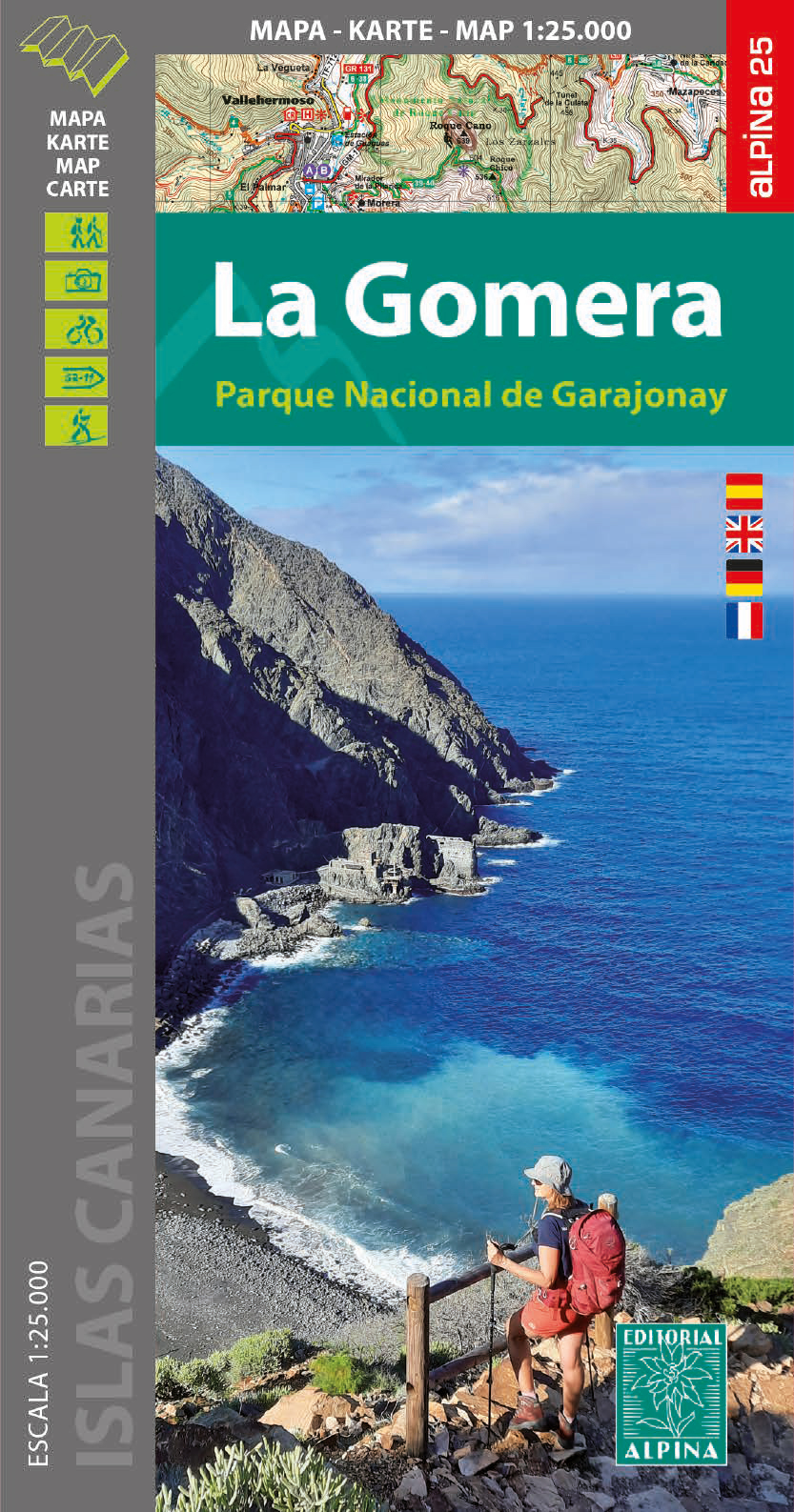
- Garajonay National Park - Gomera CNIG Map-Guide SPANISH
- La Gomera, including the Garajonay National Park, at 1:25,000 on a contoured and GPS compatible map from IGN/CNIG with cartography from their topographic survey of Spain. The map is accompanied by a Spanish language guide with descriptions of walks, contact details for recommended accommodation, etc. The map has contours at 10m intervals... Read more
United Kingdom
- Garajonay National Park - Gomera CNIG Map-Guide ENGLISH
- La Gomera, including the Garajonay National Park, at 1:25,000 on a contoured and GPS compatible map from IGN/CNIG with cartography from their topographic survey of Spain. The map is accompanied by a 76-page English language guide with descriptions of walks, contact details for recommended accommodation, etc. The map has contours at 10m... Read more

United Kingdom
2016
- La Gomera and Southern Tenerife: Car Tours and Walks
- This guide – two books in one – is the ideal countryside companion for those staying either on La Gomera or in the south of Tenerife — or those enjoying a two-centre holiday.For La Gomera the book describes 2 car tours (with accompanying touring map), 50+ long and short walks (each with 1:50,000 topo map) and 18 picnic suggestions. For Tenerife... Read more

United Kingdom
2016
- Tenerife Sunflower Landscape Guide
- Based on Puerto de la Cruz, this book is the best choice for those staying in the north of Tenerife: it features car tours all over the island and walks in the Orotava Valley, Las Canadas, and the Teno and Anaga peninsulas. (For walks in the south of Tenerife, see Landscapes of La Gomera and Southern Tenerife). Key features: - 65 long and... Read more

United Kingdom
2014
- La Gomera and Southern Tenerife: Car Tours and Walks
- Southern Tenerife and La Gomera is the Sunflower Landscapes guide to exploring the best walking and touring possibilities in the region. The guide covers a range of routes including walks in Montana Guaza, Masca, Arure, Degollada de Peraza and Vallehermoso. A double-sided, fold-out touring map at the back of the book gives an overview of... Read more

United Kingdom
2020
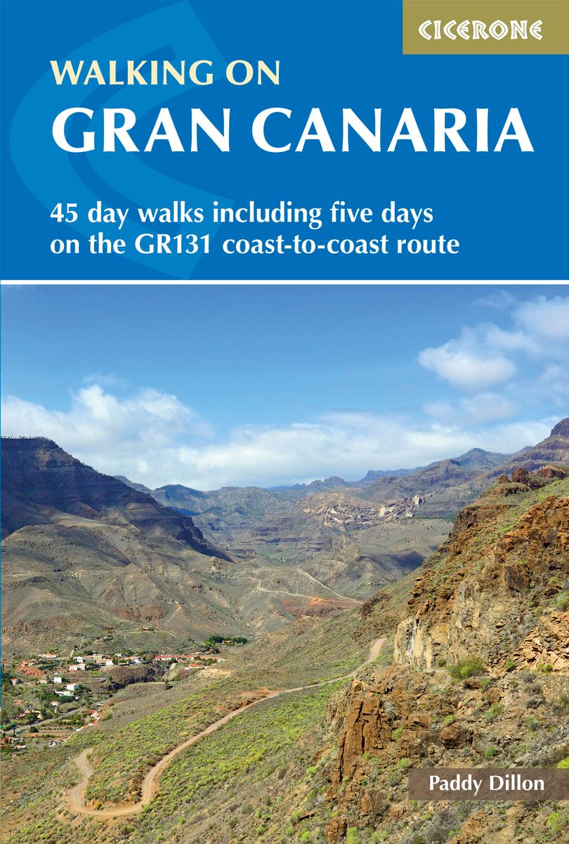
- Walking on Gran Canaria: 45 day walks including five days on the GR131 coast-to-coast route
- The guidebook describes 45 day walks across eight areas of Gran Canaria, including Las Palmas in the north to Playa del Ingles in the south. Also included is a five-day coast-to-coast route on the GR131, an island-hopping long-distance trail stretching across all seven of the Canary Islands. There are walks suitable for those of all abilities,... Read more
- Also available from:
- The Book Depository, United Kingdom
- De Zwerver, Netherlands

United Kingdom
2020
- Walking on Gran Canaria
- 45 day walks including five days on the GR131 coast-to-coast route Read more
Netherlands
2020
- Wandelgids Walking on Gran Canaria | Cicerone
- Guidebook describing 45 day walks on Gran Canaria, generally averaging 10 to 12km each. A long-distance coast-to-coast route on the GR131 is included, and shorter walks can be linked to form longer itineraries. One of the larger Canary Islands, Gran Canaria is a popular destination but offers many peaceful, rural areas perfect for walking. Read more

United Kingdom
2019
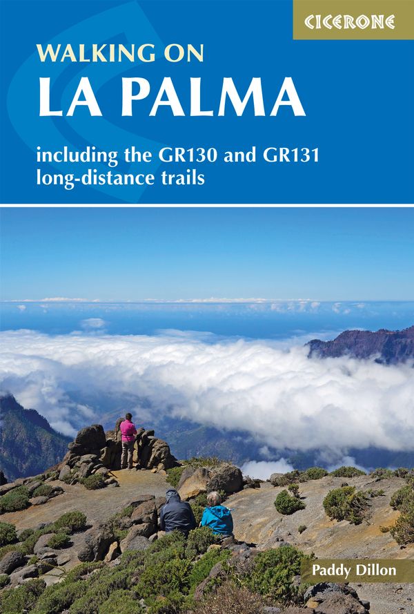
- Walking on La Palma: Including the GR130 and GR131 long-distance trails
- Guide to walking on La Palma. In total 45 day walks are described ranging from 7 to 32km in length, and covering a wide variety of terrain. Although La Palma is one of the smaller Canary Islands, there are routes of all types from easy strolls to hands-on scrambling, from simple day walks to long-distance treks on rocky mountain paths,... Read more
- Also available from:
- The Book Depository, United Kingdom
- De Zwerver, Netherlands

United Kingdom
2019
- Walking on La Palma
- Including the GR130 and GR131 long-distance trails Read more
Netherlands
2019
- Wandelgids Walking on La Palma | Cicerone
- Guidebook to 45 walks and scrambles on La Palma in the Canary Islands, ranging from 7 to 31km. Some walks combine to complete the GR130 long-distance trail (eight days) and GR131 trail (three days). Areas explored include Santa Cruz and Buenavista. Contains a Spanish-English glossary. Read more

United Kingdom
2020
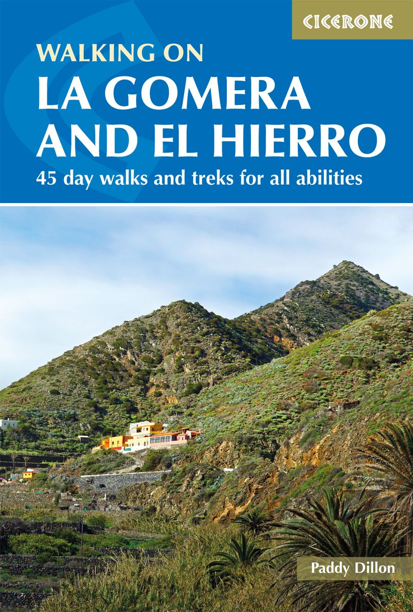
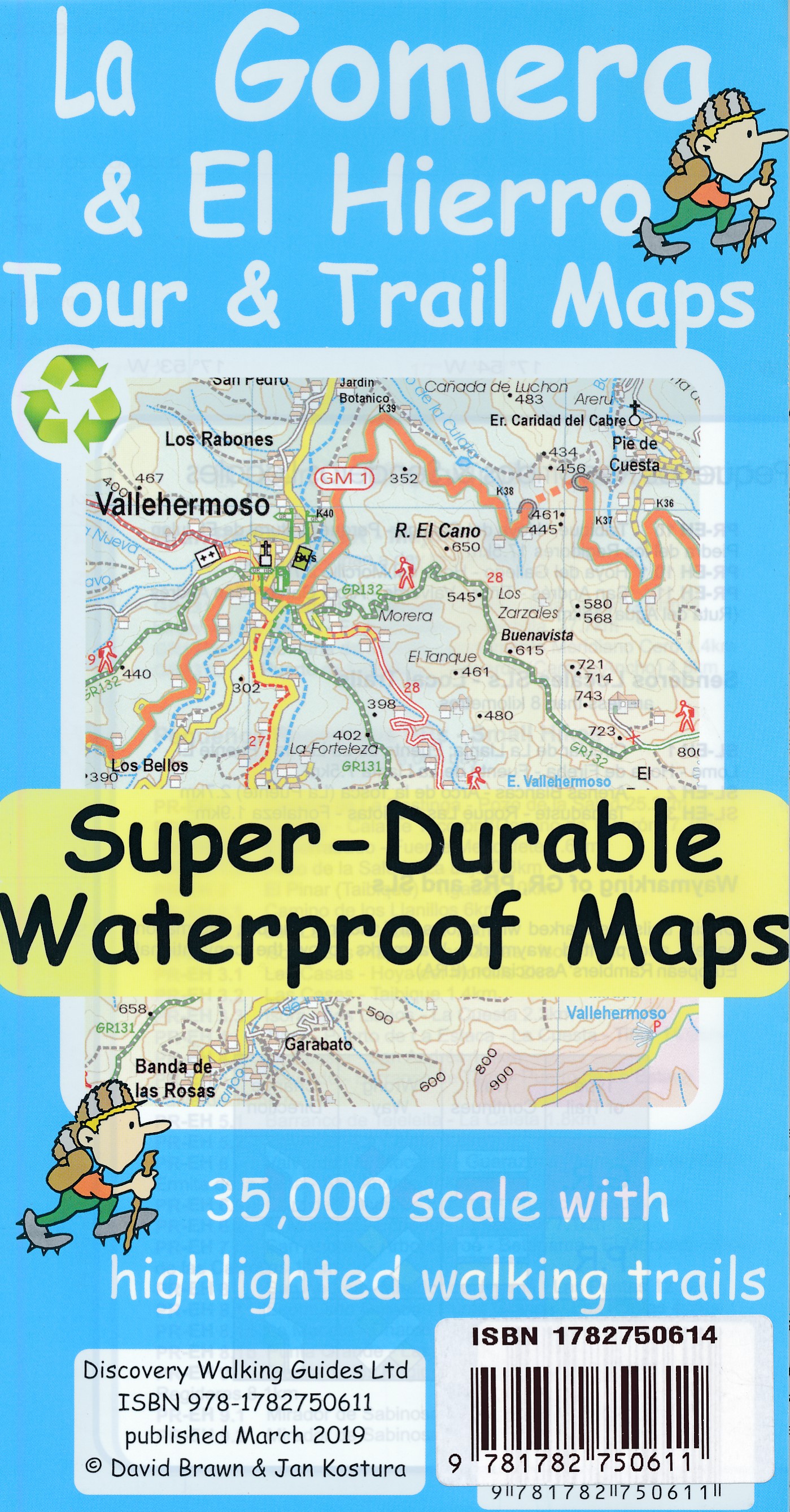
- Walking on La Gomera and El Hierro: 45 day walks and treks for all abilities
- Walking guide to the islands of La Gomera and El Hierro. The 45 waymarked routes in this guidebook include easy strolls and hands-on scrambles, day walks and long-distance routes including the GR132 and parts of the GR131, which runs the whole length of the Canary Islands. Walks are spread in the guide roughly clockwise and where walks are... Read more
- Also available from:
- The Book Depository, United Kingdom
- De Zwerver, Netherlands

United Kingdom
2020
- Walking on La Gomera and El Hierro
- 45 day walks and treks for all abilities Read more

- Also available from:
- De Zwerver, Netherlands
Netherlands
2018


United Kingdom
2022
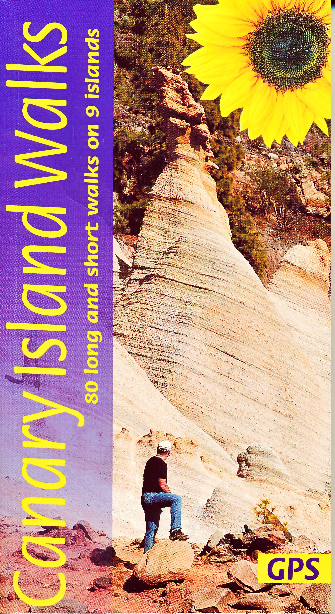
- Canary Islands Walks Sunflower Guide: 90 long and short walks on the Canary Islands
- The go-to travel guide for discovering the best walks on the Canary Islands; Strap on your boots and discover the Canary Islands on foot with the Sunflower Canary Islands Walks travel guide. The Sunflower Canary Islands Walks guide is indispensable for walking and hiking on all 7 Canary Islands - Tenerife, Gran Canaria, Lanzarote,... Read more
- Also available from:
- The Book Depository, United Kingdom
- De Zwerver, Netherlands

United Kingdom
2022
- Canary Islands Walks Sunflower Guide
- 80 long and short walks on the Canary Islands Read more
Netherlands
2022
- Wandelgids Canary Islands Walks | Sunflower books
- The go-to travel guide for discovering the best walks on the Canary Islands; Strap on your boots and discover the Canary Islands on foot with the Sunflower Canary Islands Walks travel guide. The Sunflower Canary Islands Walks guide is indispensable for walking and hiking on all 7 Canary Islands - Tenerife, Gran Canaria, Lanzarote,... Read more

- Also available from:
- De Zwerver, Netherlands

United Kingdom
2018
- La Gomera & Southern Tenerife Sunflower Landscape Guide
- This book is for those staying on La Gomera or in the south of Tenerife (within easy reach of the Gomera ferry). Since the two islands are just a 35-minute ferry ride apart, the book covers walks and tours on both. There are car tours (with picnic suggestions) ranging all over both islands, with pull-out touring maps and plans for the larger... Read more
- Also available from:
- The Book Depository, United Kingdom

United Kingdom
2018
- La Gomera and Southern Tenerife Sunflower Guide
- 70 long and short walks with detailed maps and GPS; 6 car tours with pull-out map Read more

- Also available from:
- De Zwerver, Netherlands

United Kingdom
- La Gomera walking guide 66 walks 2017
- The Finest Valley and Mountain Walks - ROTH.E4823 Read more
Maps

United Kingdom
- San Sebastian de la Gomera 25K CNIG Topographic Survey Map No. 1101-II
- Topographic coverage of the Canary Islands at 1:25,000 published by the Instituto Geográfico Nacional – Centro Nacional de Información Geografica, the country’s civilian survey organization. The maps have contours at 10m intervals and colouring and/or graphics to show different types of vegetation or land use. Boundaries of national parks and... Read more
United Kingdom
- Agulo 25K La Gomera CNIG Topographic Survey Map No. 1095-I/II
- Topographic coverage of the Canary Islands at 1:25,000 published by the Instituto Geográfico Nacional – Centro Nacional de Información Geografica, the country’s civilian survey organization. The maps have contours at 10m intervals and colouring and/or graphics to show different types of vegetation or land use. Boundaries of national parks and... Read more
United Kingdom
- Vallehermoso 25K La Gomera CNIG Topographic Survey Map No. 1095-III
- Topographic coverage of the Canary Islands at 1:25,000 published by the Instituto Geográfico Nacional – Centro Nacional de Información Geografica, the country’s civilian survey organization. The maps have contours at 10m intervals and colouring and/or graphics to show different types of vegetation or land use. Boundaries of national parks and... Read more
United Kingdom
- Hermigua 25K La Gomera CNIG Topographic Survey Map No. 1095-IV
- Topographic coverage of the Canary Islands at 1:25,000 published by the Instituto Geográfico Nacional – Centro Nacional de Información Geografica, the country’s civilian survey organization. The maps have contours at 10m intervals and colouring and/or graphics to show different types of vegetation or land use. Boundaries of national parks and... Read more
United Kingdom
- Valle Gran Rey 25K La Gomera CNIG Topographic Survey Map No. 1101-I
- Topographic coverage of the Canary Islands at 1:25,000 published by the Instituto Geográfico Nacional – Centro Nacional de Información Geografica, the country’s civilian survey organization. The maps have contours at 10m intervals and colouring and/or graphics to show different types of vegetation or land use. Boundaries of national parks and... Read more

United Kingdom
- Gomera CNIG Topo 1095-1101
- La Gomera, map No. 1095/1101 in the topographic coverage of the Canary Islands at 1:50,000 from the Instituto Geográfico Nacional - Centro Nacional de Información Geograficá, Spain’s civilian survey organization. Maps in the MTN50 (Mapa Topográfico Nacional) series begun in late 1990s have contours at 20m intervals enhanced by relief shading,... Read more

Netherlands
- Kanaren/DVD-ROM
- Deze digitale wandel-, fiets- en skiroute kaarten van Kompass op CD of DVD zijn bruikbaar met GPS • je kunt inzoomen op de kaart tot een schaal van 1: 10 000 • prima manier om je eigen route te plannen, met hoogteprofielen • zeer eenvoudig om de gekozen route te printen of te downloaden op mobiele telefoon of PDA • vlieg vogelvlucht over een... Read more
- Also available from:
- Bol.com, Belgium
Belgium
- Kanaren/DVD-ROM
- Deze digitale wandel-, fiets- en skiroute kaarten van Kompass op CD of DVD zijn bruikbaar met GPS • je kunt inzoomen op de kaart tot een schaal van 1: 10 000 • prima manier om je eigen route te plannen, met hoogteprofielen • zeer eenvoudig om de gekozen route te printen of te downloaden op mobiele telefoon of PDA • vlieg vogelvlucht over een... Read more

Netherlands
- Lanzarote WK241
- Toeristische kaart voor wandelen, fietsen en vrije tijd met activiteitengids en stadsplattegronden • goed leesbare schaal van 1:50 000 • te gebruiken met GPS • met praktische informatie over de regio • wandel- en fietspaden • aanbevolen routes • kastelen • uitzichtpunten • stranden en baaien • toeristische informatie • veel topografische... Read more
- Also available from:
- Bol.com, Belgium
Belgium
- Lanzarote WK241
- Toeristische kaart voor wandelen, fietsen en vrije tijd met activiteitengids en stadsplattegronden • goed leesbare schaal van 1:50 000 • te gebruiken met GPS • met praktische informatie over de regio • wandel- en fietspaden • aanbevolen routes • kastelen • uitzichtpunten • stranden en baaien • toeristische informatie • veel topografische... Read more
Netherlands
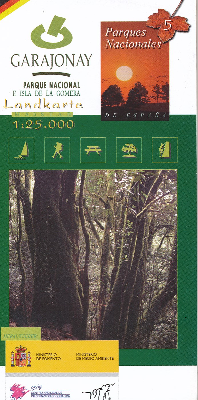
- Wandelkaart 5 Parques Nacionales Garajonay Parque Nacional e isla de la Gomera | CNIG - Instituto Geográfico Nacional
- Gedetailleerde wandelkaart 1:25.000. Met ingetekende wandelroutes, hutten en andere overnachtingsmogelijkheden, restaurants en bezienswaardigheden. Met begeleidend boekje met beschrijvingen van 13 wandelingen in het Duits Read more
Netherlands
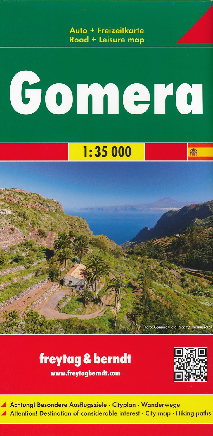
- Wandelkaart - Wegenkaart - landkaart La Gomera | Freytag & Berndt
- Zeer gedetailleerde wegen-wandelkaart van La Gomera. Schaal 1; 35.000. Stadsplattegrond van San Sebastian opgenomen in de kaart. Naast bezienswaardigheden en nationale parken staan er ook wandelroutes op deze kaart afgebeeld. Overigens vinden wij dat de Freytag & Berndt kaarten van de Spaanse en Portugese eilanden iets meer gericht zjin op... Read more
Netherlands
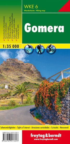
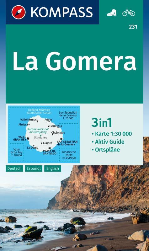
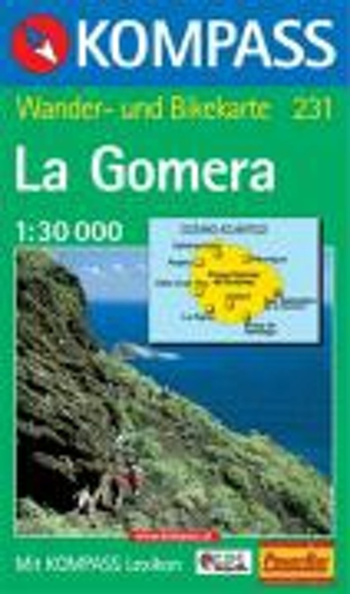
- Gomera WK231
- Toeristische kaart voor wandelen, fietsen en vrije tijd met activiteitengids en stadsplattegronden • goed leesbare schaal van 1:30 000 • te gebruiken met GPS • met praktische informatie over de regio • wandel- en fietspaden • aanbevolen routes • kastelen • uitzichtpunten • stranden en baaien • toeristische informatie • veel topografische... Read more
- Also available from:
- Bol.com, Belgium
Belgium
- Gomera WK231
- Toeristische kaart voor wandelen, fietsen en vrije tijd met activiteitengids en stadsplattegronden • goed leesbare schaal van 1:30 000 • te gebruiken met GPS • met praktische informatie over de regio • wandel- en fietspaden • aanbevolen routes • kastelen • uitzichtpunten • stranden en baaien • toeristische informatie • veel topografische... Read more

Netherlands
- Tenerife Hikers Maps
- Our latest hiking research on Tenerife has resulted in new editions of Walk! Tenerife and Tenerife Hikers' Super-Durable Maps being published in 2017. Thanks to Jan Kostura's 2016 research we have several new hiking adventures described in detail in Walk! Tenerife. Jan's gps records of his research for new routes and updating of current routes... Read more
- Also available from:
- Bol.com, Belgium
Belgium
- Tenerife Hikers Maps
- Our latest hiking research on Tenerife has resulted in new editions of Walk! Tenerife and Tenerife Hikers' Super-Durable Maps being published in 2017. Thanks to Jan Kostura's 2016 research we have several new hiking adventures described in detail in Walk! Tenerife. Jan's gps records of his research for new routes and updating of current routes... Read more

United Kingdom
- Lanzarote Kompass 241
- Lanzarote at 1:50,000 on a contoured and GPS compatible map from Kompass, with extensive tourist overprint, plus street plans of Arrecife, Puerto del Carmen and Teguise. Coverage includes the nearby islands of Graciosa, Montaña Clara and Alwegranza.Topography is vividly presented by contours at 50m intervals, enhanced by relief shading plus... Read more
- Also available from:
- De Zwerver, Netherlands
