
Engadin
Description
The Engadin is a region in the East of Switzerland, bordering on Austria. The name is derived from the river Inn, that flows into Austria at this point. Surrounding mountain area's of the Engadin are the Silvretta, Samnaun and Sesvenna Group.
Map

Links
Facts
Reports
Guides and maps
Lodging
Organisations
Tour operators
GPS
Other
Books

The Book Depository
United Kingdom
United Kingdom
- Best Hiking in Switzerland in the Valais, Bernese Alps, the Engadine and Davos
- Over 100 Hikes in the Spectacular Swiss Alps Read more
De Zwerver
Netherlands
2014
Netherlands
2014
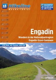
- Wandelgids Hikeline Engadin | Esterbauer
- Handzame gids met een goede beschrijving van een groot aantal dagtochten in dit gebied. De gids is in spiraalbinding en elke pagina is op scheur- en watervast papier gedrukt. Daar is echt over nagedacht! Read more

De Zwerver
Netherlands
2022
Netherlands
2022
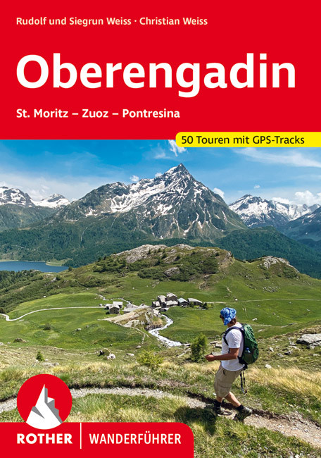
- Wandelgids Oberengadin | Rother Bergverlag
- Uitstekende wandelgids met een groot aantal dagtochten in dal en hooggebergte. Met praktische informatie en beperkt kaartmateriaal! Wandelingen in verschillende zwaarte weergegeven in rood/blauw/zwart. "Allegra - Freue Dich", so wird man im Engadin seit alters her auf Rätoromanisch begrüßt. Und in der Tat, das Oberengadin, dieses... Read more
De Zwerver
Netherlands
2022
Netherlands
2022
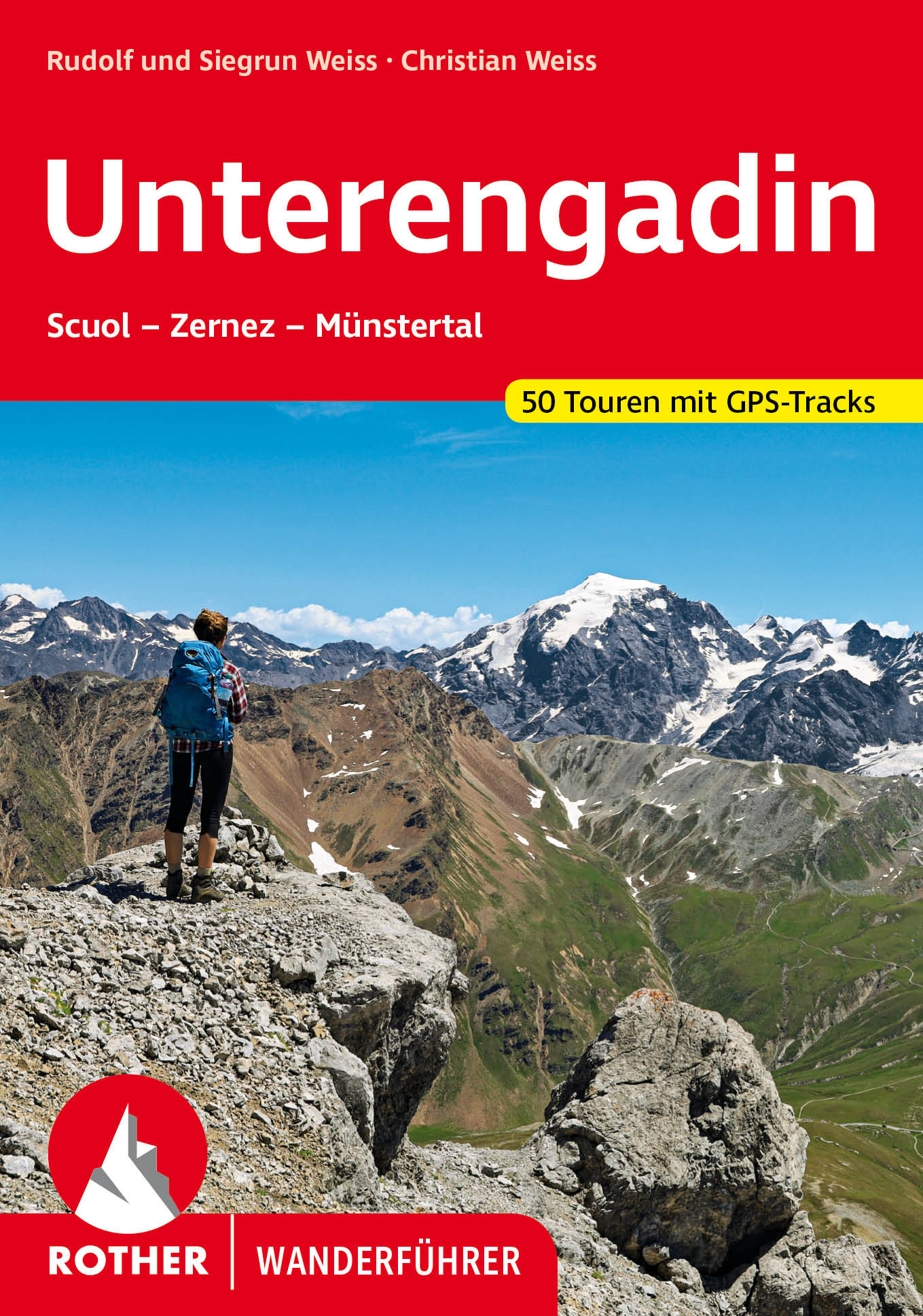
- Wandelgids Unterengadin | Rother Bergverlag
- Uitstekende wandelgids met een groot aantal dagtochten in dal en hooggebergte. Met praktische informatie en beperkt kaartmateriaal! Wandelingen in verschillende zwaarte weergegeven in rood/blauw/zwart. Wer vom Engadin spricht, denkt zumeist an das Oberengadin – an Gipfel wie den Piz Palü, das »Silberschloß« mit seinen drei Pfeilern, den Piz... Read more

De Zwerver
Netherlands
2007
Netherlands
2007
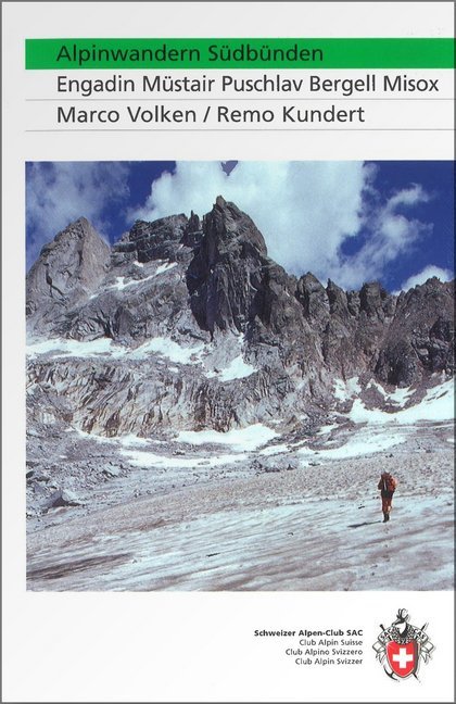
- Wandelgids Alpinwandern Südbünden | SAC Schweizer Alpenclub
- Gids voor het betere wandelwerk in zuidelijk Graubuenden; met veel beroemde hoogalpiene wandelroutes. Gedetailleerde beschrijvingen en verder voorzien van alle praktische details met betrekking tot huttenovernachtingen, openbaar vervoer, en met overzichtskaartjes (die overigens niet voldoen als wandelkaart). Engadin, Müstair, Puschlav, Bergell,... Read more
Bol.com
Netherlands
Netherlands
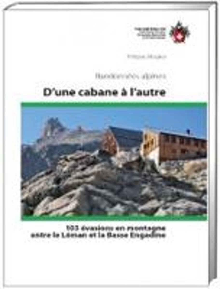
- D'une cabane à l'autre
- 103 évasions en montagne entre le Léman et la Basse Engadine. Randonnées alpines Read more
- Also available from:
- Bol.com, Belgium
Bol.com
Belgium
Belgium
- D'une cabane à l'autre
- 103 évasions en montagne entre le Léman et la Basse Engadine. Randonnées alpines Read more

Stanfords
United Kingdom
United Kingdom
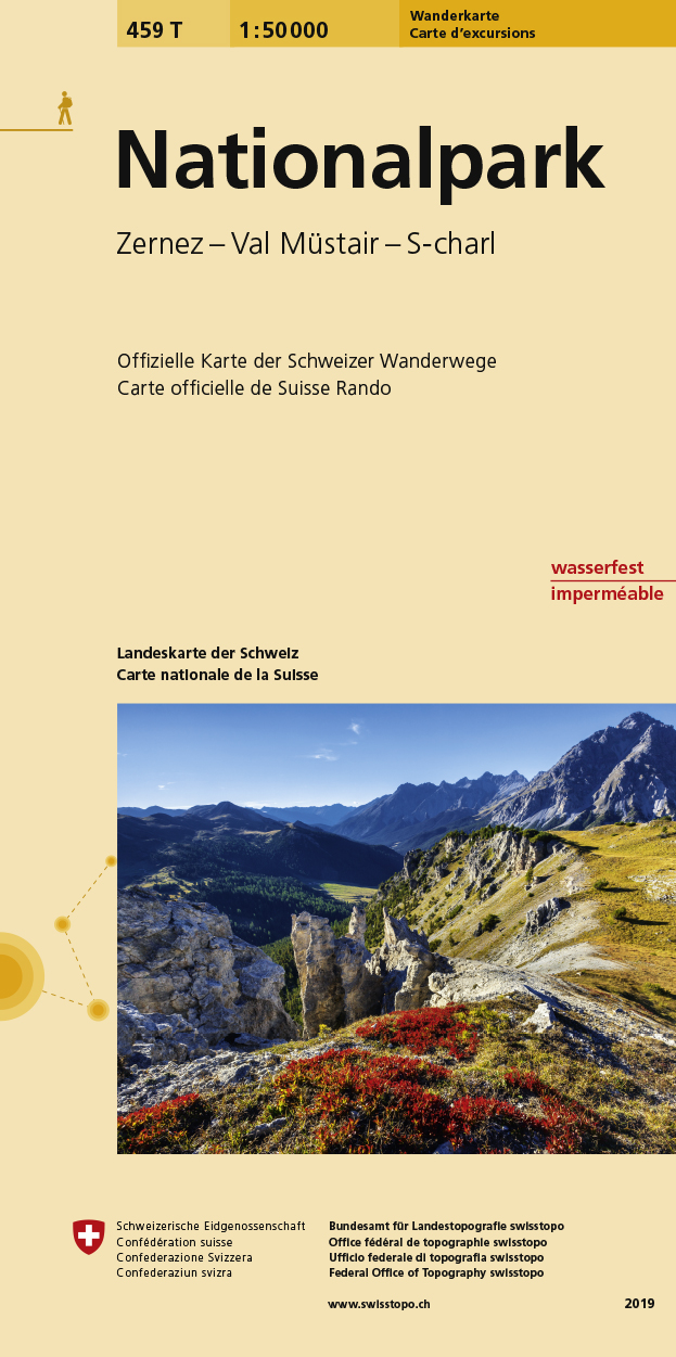
- Nationalpark Swisstopo Hiking 459T
- Switzerland’s National Park, map No. 459T,, at 1:50,000 in a special hiking edition of the country’s topographic survey, published by Swisstopo in cooperation with the Swiss Hiking Federation. The map covers an area from the Lower Engadine Valley in the west to Glaruns/Glorenza on the Italian side of the border, and includes Zerner, Ofenpass,... Read more
- Also available from:
- De Zwerver, Netherlands
De Zwerver
Netherlands
Netherlands
- Wandelkaart 459T Nationalpark | Swisstopo
- Zernez - Ofenpass - Val Müstair - Val S-Charl Swisstopo 1. 50 000. Neuauflage. Read more
Bol.com
Netherlands
Netherlands
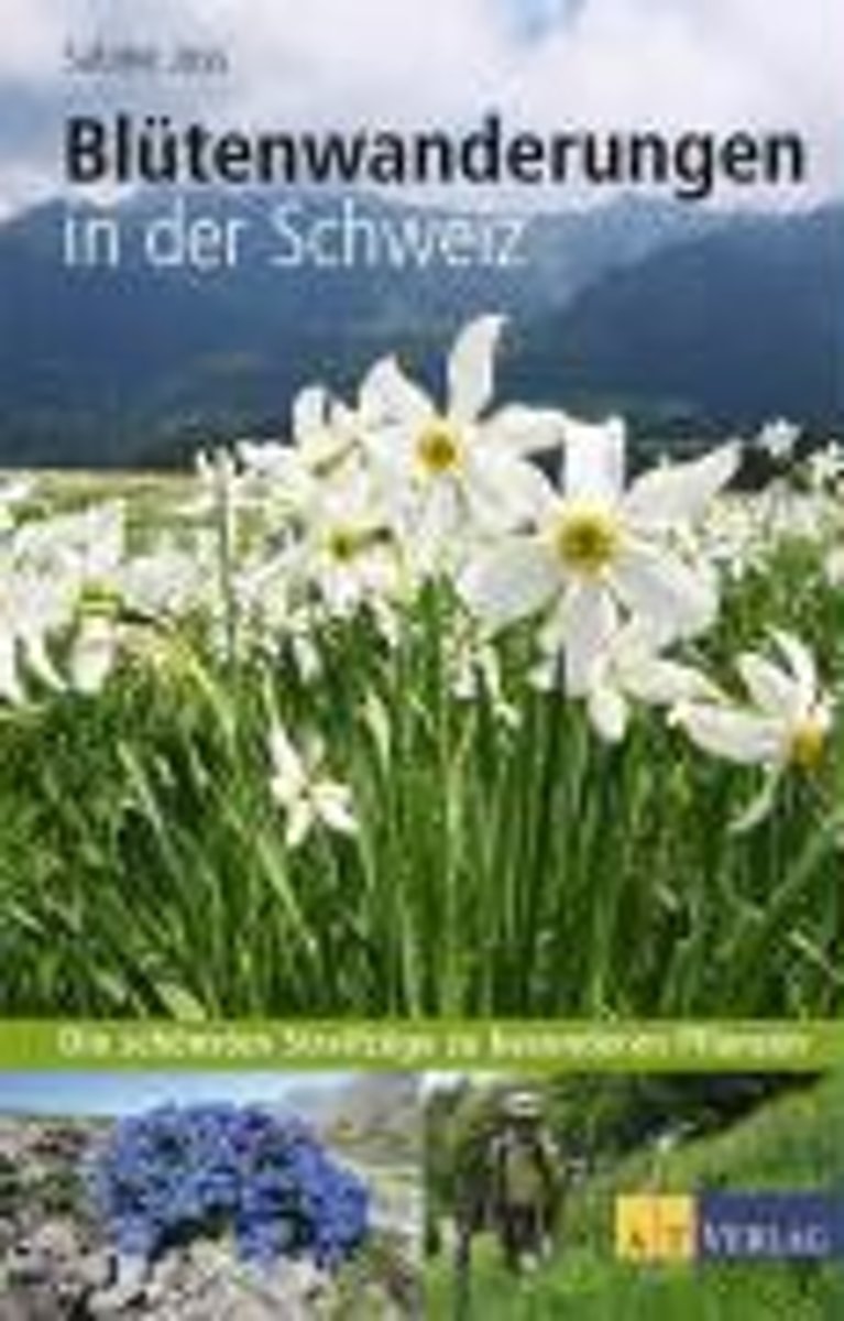
- Bl tenwanderungen in der Schweiz
- Pflanzenbestimmungsb cher gibt es viele, doch werwei schon,wann und wo eine bestimmte Art besonders ppig und zuverl ssig bl ht? Zum Beispiel der Himmelsheroldim Oberengadin oder die Wei e Berg-Narzisseam Genfersee.Dieses Wanderbuch f hrt, dem Kalender der Bl hterminefolgend, in 30 Wanderungen zu besonders eindr cklichenStandorten der sch nsten... Read more
- Also available from:
- Bol.com, Belgium
Bol.com
Belgium
Belgium
- Bl tenwanderungen in der Schweiz
- Pflanzenbestimmungsb cher gibt es viele, doch werwei schon,wann und wo eine bestimmte Art besonders ppig und zuverl ssig bl ht? Zum Beispiel der Himmelsheroldim Oberengadin oder die Wei e Berg-Narzisseam Genfersee.Dieses Wanderbuch f hrt, dem Kalender der Bl hterminefolgend, in 30 Wanderungen zu besonders eindr cklichenStandorten der sch nsten... Read more
Bol.com
Netherlands
2005
Netherlands
2005
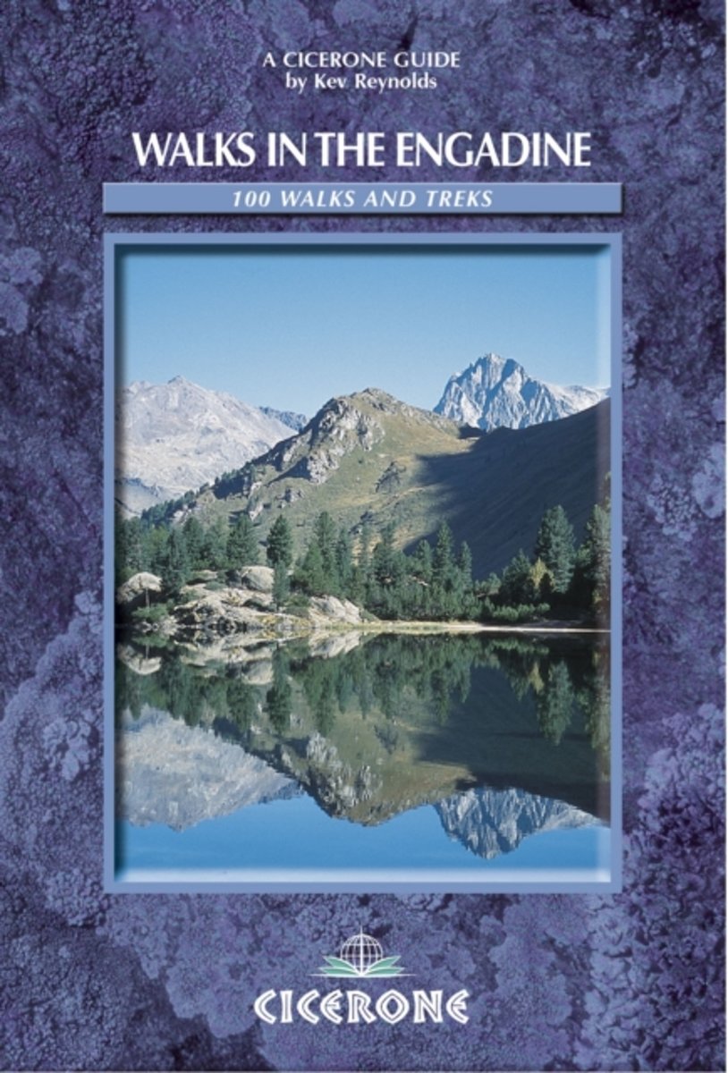
- Walks In The Engadine
- Walks in the Engadine contains detailed route descriptions for 100 day walk routes that vary from 2 to 10 miles in length. The routes cover a variety of terrain from luscious meadows and craggy mountains to glaciers and snowpeaks. Most of the walks described in this guidebook have been chosen with a particular viewpoint, lake, alp hamlet, hut... Read more
- Also available from:
- Bol.com, Belgium
Bol.com
Belgium
2005
Belgium
2005
- Walks In The Engadine
- Walks in the Engadine contains detailed route descriptions for 100 day walk routes that vary from 2 to 10 miles in length. The routes cover a variety of terrain from luscious meadows and craggy mountains to glaciers and snowpeaks. Most of the walks described in this guidebook have been chosen with a particular viewpoint, lake, alp hamlet, hut... Read more

Stanfords
United Kingdom
2019
United Kingdom
2019
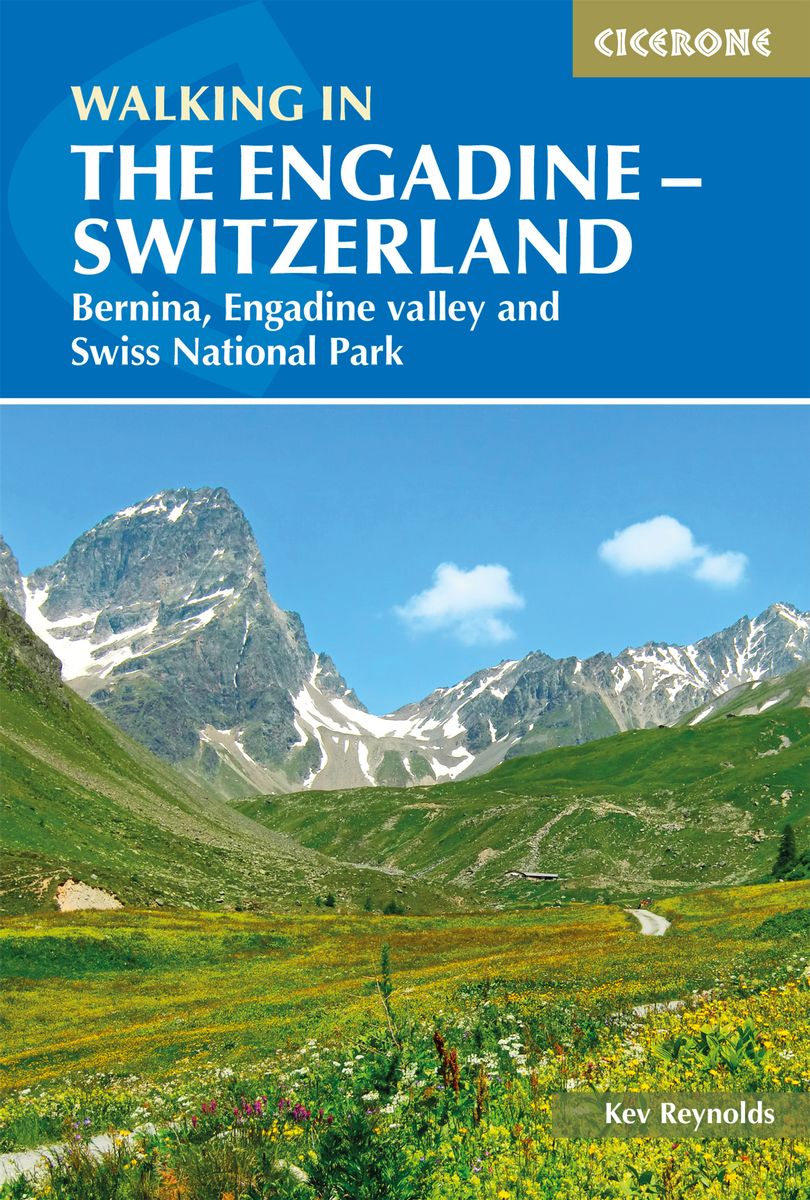
- Walking in the Engadine - Switzerland: Bernina, Engadine valley and Swiss National Park
- Walking in the Engadine contains detailed route descriptions for 100 day walk routes that vary from 4 to 16km long in length. The routes cover a variety of terrain from luscious meadows and craggy mountains to glaciers and snowpeaks. Most of the walks described in this guidebook have been chosen with a particular viewpoint, lake, alp hamlet,... Read more
- Also available from:
- De Zwerver, Netherlands
De Zwerver
Netherlands
2019
Netherlands
2019
- Wandelgids Walking in the Engadine - Engadin | Cicerone
- A guidebook to 100 day walks in the Engadine, Val Bregaglia, neighbouring valleys and the Engadine National Park. Varying from gentle rambles to adventurous high-level routes for the experienced mountain walker. The routes range from 4 to 16km long, visiting forests and meadows, high mountain landscapes, lakes and passes. Read more
Maps

Stanfords
United Kingdom
United Kingdom
- Inn Cycle Route 1 - from Malojapass through the Engadine to Innsbruck Bikeline Map/Guide
- The Inn Cycle Route Part 1 – a 209-km long section from its source and St Moritz along the Engadine Valleys of Switzerland to Innsbruck presented by the Verlag Esterbauer in guide with maps at 1:75,000 showing the route and its variants. Extensive information is conveyed by symbols, indicating road surface, campsites and other accommodation,... Read more

Stanfords
United Kingdom
United Kingdom
- Glarnerland - Bundnerland Swisstopo 106
- Glarnerland – Bundnerland – Lower Engadine Valley region of eastern Switzerland on a Swiss topographic survey map at 1:100,000. The map, published in 2015, includes Swiss National Grid lines at 1km. intervals.Maps in the Swiss topographic survey at 1:100,000 from Swisstopo are highly regarded for their superb use of graphic relief and hill... Read more
Stanfords
United Kingdom
United Kingdom
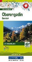
- Oberengadin - Bernina K+F Hiking 07
- 33 specially selected hiking trails in the Upper Engadin valley of Switzerland presented at 1:50,000 on a waterproof and tear-resistant, contoured and GPS compatible map from the Hallwag/Kümmerly + Frey group, with route profiles, grading for the severity of the terrain and the degree of fitness required, etc. Coverage includes St. Moritz,... Read more

Stanfords
United Kingdom
United Kingdom
- Engadine - St Moritz Hallwag Mountain Bike Map 11
- Upper Engadine Valley: St Moritz - Bernina area at 1:50,000 in a series of waterproof and tear-resistant, contoured mountain biking maps from Hallwag, each highlighting several circuits and providing route profiles, guidance on the difficulty and overall experience, etc. Each map in this series is printed on sturdy, waterproof and... Read more

Stanfords
United Kingdom
United Kingdom
- Unterengadin - Samnaun Supertrail Map
- The new Supertrail Maps show the best singletrails in Europe’s hottest mountain bike spots. These unique topographic maps make the knowledge of locals available to other mountain bikers. Consistent difficulty rating and useful additional information prevent the user from critical situations on the trails. The best singletrails in the best... Read more

Stanfords
United Kingdom
United Kingdom
- Unterengadin - Val Mustair Supertrail Map
- The new Supertrail Maps show the best singletrails in Europe’s hottest mountain bike spots. These unique topographic maps make the knowledge of locals available to other mountain bikers. Consistent difficulty rating and useful additional information prevent the user from critical situations on the trails. The best singletrails in the best... Read more

The Book Depository
United Kingdom
United Kingdom
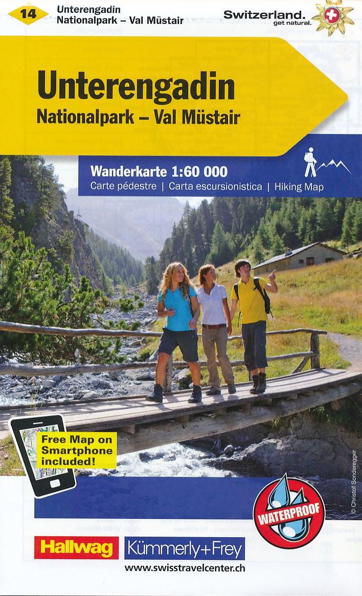
- Unterengadin / Scuol / Samnaun
- These laminated hiking maps at a scale of 1:40 000 are the ideal basis for planning a hiking tour.The precise cartography shows hiking trails including classification. Information on accommodation and restaurants, bus routes with stops, mountain railways, regional parks, sights and much more are included on the map.Thanks to the quality of the... Read more

The Book Depository
United Kingdom
United Kingdom
- Davos / St. Moritz / Oberengadin 2019
- These laminated hiking maps at a scale of 1:40 000 are the ideal basis for planning a hiking tour.The precise cartography shows hiking trails including classification. Information on accommodation and restaurants, bus routes with stops, mountain railways, regional parks, sights and much more are included on the map.Thanks to the quality of the... Read more

Stanfords
United Kingdom
United Kingdom
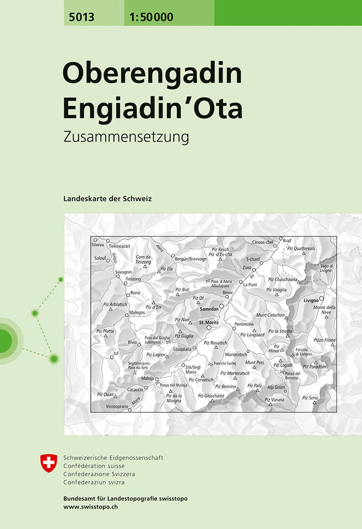
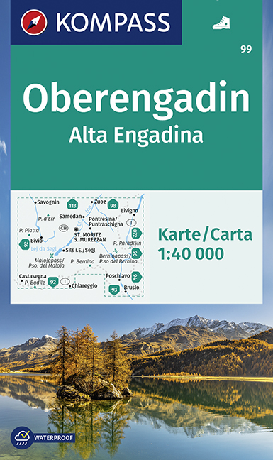
- Oberengadin / Upper Engadine Swisstopo 5013
- Oberengadin (Upper Engadine Valley), map No. 5013, in the standard topographic survey of Switzerland at 1:50,000 from Swisstopo, i.e. without the special overprint highlighting walking trails, local bus stops, etc, presented in Swisstopo’s hiking editions of the 50K survey. Highly regarded for their superb use of graphic relief and hill... Read more
- Also available from:
- De Zwerver, Netherlands
De Zwerver
Netherlands
Netherlands
- Wandelkaart - Topografische kaart 5013 Oberengadin - Engadin'Ota | Swisstopo
- Oberengadin (Upper Engadine Valley), map No. 5013, in the standard topographic survey of Switzerland at 1:50,000 from Swisstopo, i.e. without the special overprint highlighting walking trails, local bus stops, etc, presented in Swisstopo Read more

Stanfords
United Kingdom
United Kingdom
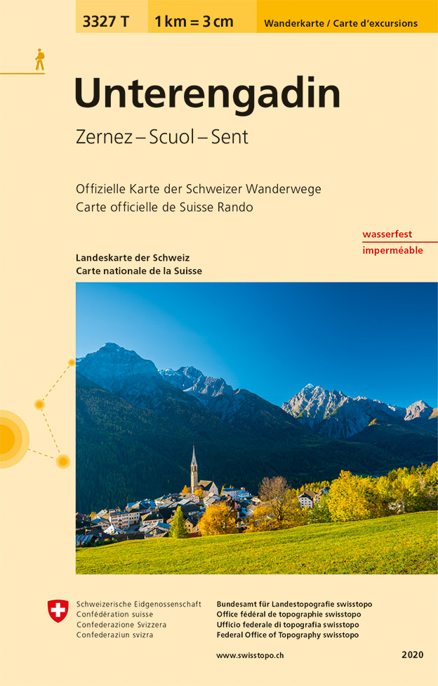
- Unterengadin / Lower Engadine - Zernez - Scoul - Sent Swisstopo Hiking 3327T
- Underengadin – the Lower Engadine Valley area at 1:33,333 on light, waterproof and tear-resistant map No. 3323T published by Swisstopo in cooperation with the Swiss Hiking Federation. Cartography is the same as in Swisstopo’s 50K hiking maps, simply enlarged to 1:33,333 for extra clarity but without additional information. The title includes a... Read more
- Also available from:
- De Zwerver, Netherlands
De Zwerver
Netherlands
Netherlands
- Wandelkaart - Topografische kaart 3327T Unterengadin | Swisstopo
- Underengadin – the Lower Engadine Valley area at 1:33,333 on light, waterproof and tear-resistant map No. 3323T published by Swisstopo in cooperation with the Swiss Hiking Federation. Cartography is the same as in Swisstopo’s 50K hiking maps, simply enlarged to 1:33,333 for extra clarity but without additional information. The title includes a... Read more

Stanfords
United Kingdom
United Kingdom
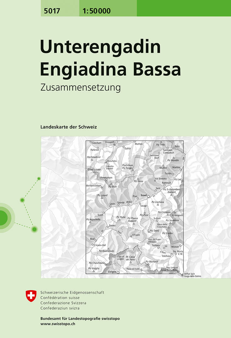
- Unterengadin / Lower Engadine Swisstopo 5017
- Unterengadin (Lower Engadine Valley), map No. 5017, in the standard topographic survey of Switzerland at 1:50,000 from Swisstopo, i.e. without the special overprint highlighting walking trails, local bus stops, etc, presented in Swisstopo’s hiking editions of the 50K survey. Highly regarded for their superb use of graphic relief and hill... Read more
- Also available from:
- De Zwerver, Netherlands
De Zwerver
Netherlands
Netherlands
- Wandelkaart - Topografische kaart 5017 Unterengadin - Engiadina Bassa | Swisstopo
- Unterengadin (Lower Engadine Valley), map No. 5017, in the standard topographic survey of Switzerland at 1:50,000 from Swisstopo, i.e. without the special overprint highlighting walking trails, local bus stops, etc, presented in Swisstopo Read more
De Zwerver
Netherlands
Netherlands
- Wandelkaart 14 Unterengadin | Kümmerly & Frey
- Zeer duidelijke wandelkaart van een deel van Zwitserland. Deze kaart - gemaakt op scheur en watervast papier - is bedoeld voor de gewone en gemiddelde bergwandelaar. Ook voor huttentochten is deze zeker geschikt. Slechts voor de gevorderde wandelaar die glesjers gaat overschrijden zijn de 25.000 topografische kaarten aan te raden. Op deze... Read more

Stanfords
United Kingdom
United Kingdom
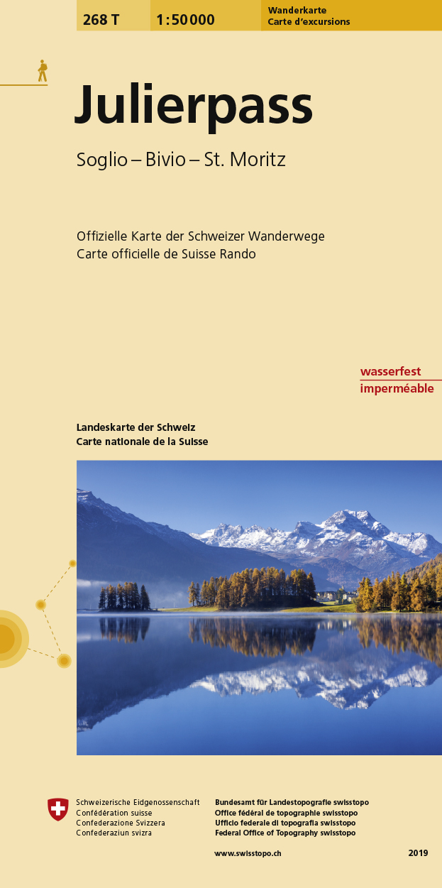
- Julierpass Swisstopo Hiking 268T
- Julierpass area, map No. 268T, at 1:50,000 in a special hiking edition of the country’s topographic survey, published by Swisstopo in cooperation with the Swiss Hiking Federation. Coverage includes the Upper Engadine Valley with St. Moritz and Pontresina, across the Maloja Pass the top part of Val Bregaglia, the peak of Piz Bernina,... Read more
- Also available from:
- De Zwerver, Netherlands
De Zwerver
Netherlands
Netherlands
- Wandelkaart 268T Julierpass | Swisstopo
- Julierpass area, map No. 268T, at 1:50,000 in a special hiking edition of the country Read more
De Zwerver
Netherlands
Netherlands
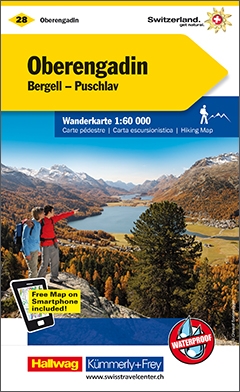
- Wandelkaart 28 Oberengadin | Kümmerly & Frey
- Zeer duidelijke wandelkaart van een deel van Zwitserland. Deze kaart - gemaakt op scheur en watervast papier - is bedoeld voor de gewone en gemiddelde bergwandelaar. Ook voor huttentochten is deze zeker geschikt. Slechts voor de gevorderde wandelaar die glesjers gaat overschrijden zijn de 25.000 topografische kaarten aan te raden. Op deze... Read more